 Block
Block
Homerville, Ohio
12 topographic sheets cover this place, the earliest surveyed in 1904 and the latest in 1986. It stands in Homer Township. It lies in ZIP code area 44235. The Survey maps it on the Sullivan quadrangle. It stands 3,520 feet above sea level.
Then and now
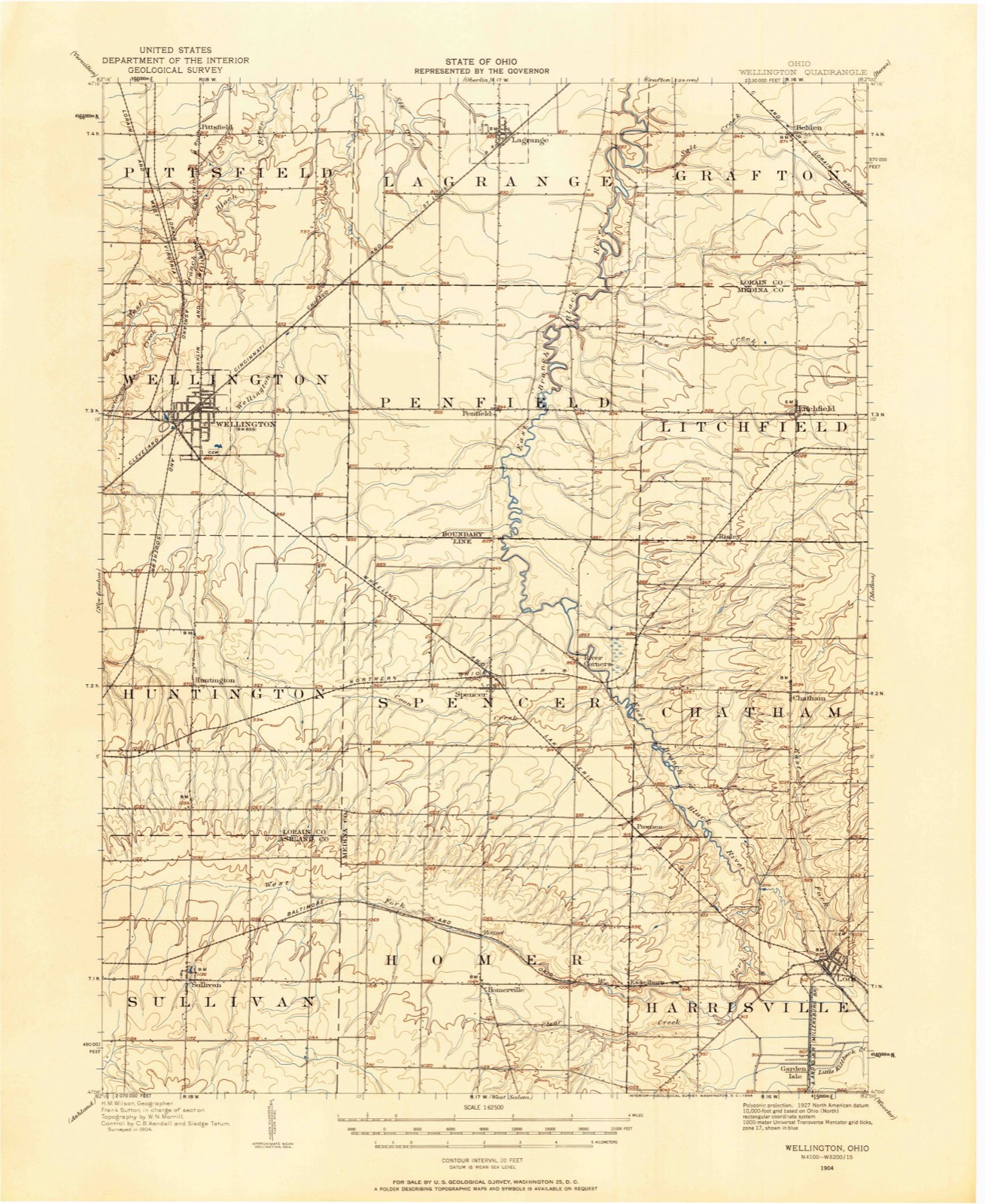
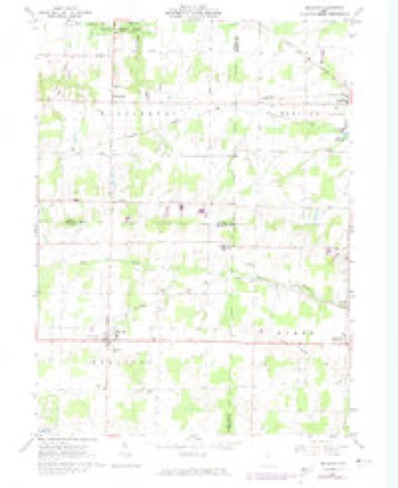
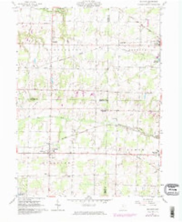
1904 to 1986The same ground, surveyed 82 years apart. Drag the handle to wipe between them. Both sheets are United States Geological Survey originals; neither has been altered.

Topographic sheets covering this place
12 sheetsMatched by testing this settlement's coordinate against the published boundary of every sheet in the United States Geological Survey's historical collection. Each opens the scanned sheet at the Survey.
- 1904 USGS Wellington quadrangle1:62500
- 1906 USGS Wellington quadrangle1:62500
- 1956 USGS Toledo quadrangle1:250000
- 1956 USGS Toledo quadrangle1:250000
- 1956 USGS Toledo quadrangle1:250000
- 1956 USGS Toledo quadrangle1:250000
- 1961 USGS Sullivan quadrangle1:24000
- 1961 USGS Sullivan quadrangle1:24000
- 1961 USGS Sullivan quadrangle1:24000
- 1961 USGS Toledo quadrangle1:250000
- 1986 USGS Lorain quadrangle1:100000
- 1986 USGS Lorain quadrangle1:100000







In the 1861 county history
621 words on this townshipThe county history of 1861 has no passage naming this settlement, which was common for the smaller places. Its township is covered in full.
The chapter on Homer Township covers the township.
Read the chapter on Homer Township - 621 words.
Specimens collected nearby
12 of 161 shownMuseums hold 161 specimens collected within 10 miles of Homerville between 1888 and 1975: 139 Animalia, 12 Fungi, 10 Plantae. 12 distinct Species records are shown. Collected by BJ Zahuranec & party, Bosler, C.B. Wilson and others. Each is a physical object with a catalogue number, and each entry opens the museum's record. This is what was collected and kept, not a survey of what lives here - nothing can be concluded from a species being absent.
| Image | Species | Year | Collected by | Where, as recorded |
|---|---|---|---|---|
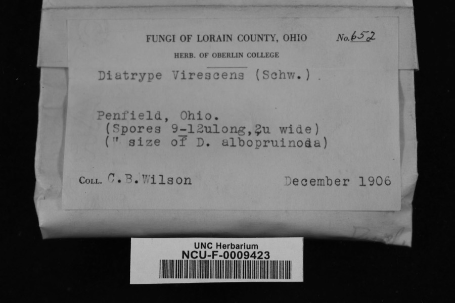 | Diatrype virescens (Schwein.) Cooke | 1906 | Wilson, C. B. | Penfield, Ohio |
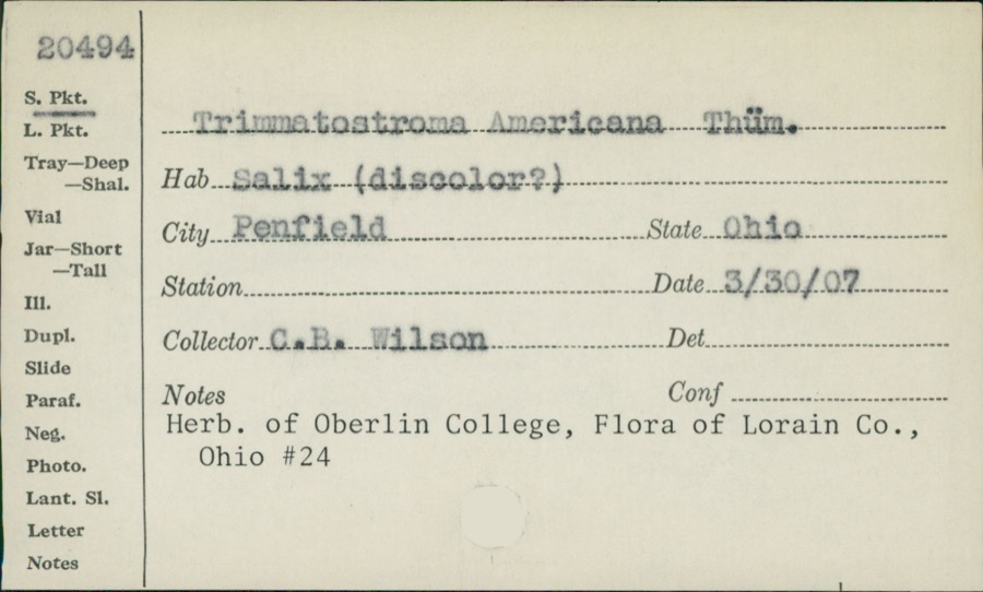 | Trimmatostroma Corda | 1907 | C.B. Wilson | |
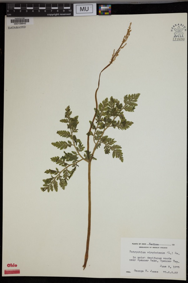 | Botrychium virginianum (L.) Sw. | 1975 | Jones, G.T. | In moist deciduous woods near Spencer Lake, Spencer Twp. |
 | Lilium canadense L. | 1888 | E. Barrick | Chatham |
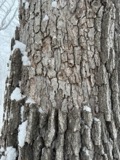 | Aleurodiscus oakesii (Berk. & M.A.Curtis) Cooke | 1894 | F. D. Kelsey | Penfield |
 | Atrichum angustatum (Brid.) Bruch & Schimp. | 1894 | F. D. Kelsey | Penfield |
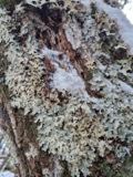 | Lobaria amplissima (Scop.) Forssell | 1894 | Francis D Kelsey | Penfield |
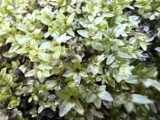 | Mnium stellare Hedw. | 1894 | F. D. Kelsey | Penfield |
 | Mycosphaerella macularis (Fr.) J.Schröt. | 1894 | Kelsey F. D. | Penfield |
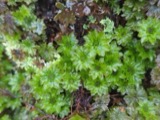 | Rhodobryum ontariense (Kindb.) Paris | 1894 | F. D. Kelsey | Penfield |
 | Ricasolia quercizans (Michx.) Stizenb. | 1894 | Kelsey, F. D. | Penfield |
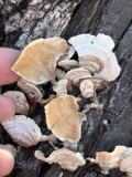 | Stereum fasciatum (Schwein.) Fr. | 1894 | Kelsey F. D. | Penfield |
All 161 specimens within 10 miles, at the Global Biodiversity Information Facility.
Storms nearby
14 since 1998The National Weather Service names Homerville in 14 storm reports between 1998 and 2025: 6 hail, 5 thunderstorm wind, 2 tornado, 1 flash flood. No death or injury is recorded in these reports. Each account below is quoted exactly as the forecast office filed it, from the NOAA Storm Events Database, and each date opens the federal record of that event.
| When | Event | Place named | Harm | What the report says |
|---|---|---|---|---|
| November 2002 | Tornado (F2) | Homerville | $750,000 | A tornado moved into the county from Ashland County just to the east of Firestone Road. The tornado then traveled northeast through Homerville and finally dissipated about a mile and a half northeast of the town. The first significant damage in the county occurred along Williams Road where a newer two story home lost it's roof and most of the second floor. Several other homes and buildings in this area sustained minor damage. In Homerville, an auto repair shop was destroyed and several homes sustained moderate to minor damage. A barn was destroyed just southwest of town. Many cars were damaged and dozens of trees downed. The tornado was on the ground in Medina County for approximately four miles and had a damage path no more than 50 yards in width. |
| July 2021 | Flash Flood | Homerville | $75,000 | Washed out culvert at Camp Road and Greenwich Road just west of Homerville. Significant flowing water over New London Eastern Road near Brandon Lane. |
| August 1998 | Tornado (F1) | Homerville | $75,000 | A tornado touched down at Homerville and remained on the ground for a short time. Two garages and a pole barn were destroyed, two houses were damaged and trees were downed. |
| June 2004 | Thunderstorm Wind | Homerville | $6,000 | Thunderstorm winds downed a few trees. |
| June 2020 | Thunderstorm Wind | Homerville | $2,000 | A trained spotter reported several small trees snapped west of Homerville. |
| August 2005 | Thunderstorm Wind | Homerville | $2,000 | A tree and a large limb were reported down. |
| June 2004 | Thunderstorm Wind | Homerville | $2,000 | Thunderstorm winds downed several large tree limbs. |
| May 2025 | Hail | Homerville | - | Hail up to quarter-size in Homerville. |
| July 2019 | Thunderstorm Wind | Homerville | - | Multiple trees were blown down around Homerville. |
| June 2011 | Hail | Homerville | - | Penny sized hail was observed. |
| May 2010 | Hail | Homerville | - | Quarter sized hail was observed. |
| August 2008 | Hail | Homerville | - | Nickel size hail was reported. |
| May 2007 | Hail | Homerville | - | Penny size hail was observed. |
| June 2004 | Hail | Homerville | - | Penny size hail was observed. |
Nearest settlements
The eight closest, with where each one stands in the county. Distances are straight-line, computed from the Geographic Names Information System coordinates.
| Map | Place | Distance | Sheets |
|---|---|---|---|
| Homer | 1.1 miles | 12 | |
| Newtons (historical) | 1.3 miles | 12 | |
| Esselburn | 2.6 miles | 12 | |
| Pawnee | 3.7 miles | 12 | |
| Crawford Corners | 4.0 miles | 12 | |
| Spencer | 4.9 miles | 12 | |
| Centerville (historical) | 5.0 miles | 12 | |
| River Corners | 5.6 miles | 12 |
Elsewhere
Matched on this settlement's Geographic Names Information System number rather than its name, so it cannot be a different place of the same name in another state.
| Wikipedia article on Homerville | An encyclopaedic summary. Its text is share-alike, so it is linked here rather than copied. |
| Wikidata item Q11029207 | The structured record the population and elevation above come from. Public domain (CC0). |
Provenance
This settlement is recorded in the Geographic Names Information System as feature 1064855. The sheet list is computed by point-in-boundary test against the United States Geological Survey's historical topographic inventory. Both are works of the United States government and carry no copyright under 17 U.S.C. 105.
Specimens. Global Biodiversity Information Facility (GBIF), https://www.gbif.org/. Only records licensed CC0 or CC BY are used. Records licensed CC BY-NC are excluded because this site carries advertising. Images are checked individually and any whose licence is non-commercial, no-derivatives or unreadable is refused.
Storms. NOAA National Centers for Environmental Information, Storm Events Database https://www.ncei.noaa.gov/stormevents/ A work of the United States government, no copyright under 17 U.S.C. 105. Narratives are quoted verbatim from the National Weather Service report and are not edited or summarised.