 Block
Block
Hopkinsville, Ohio
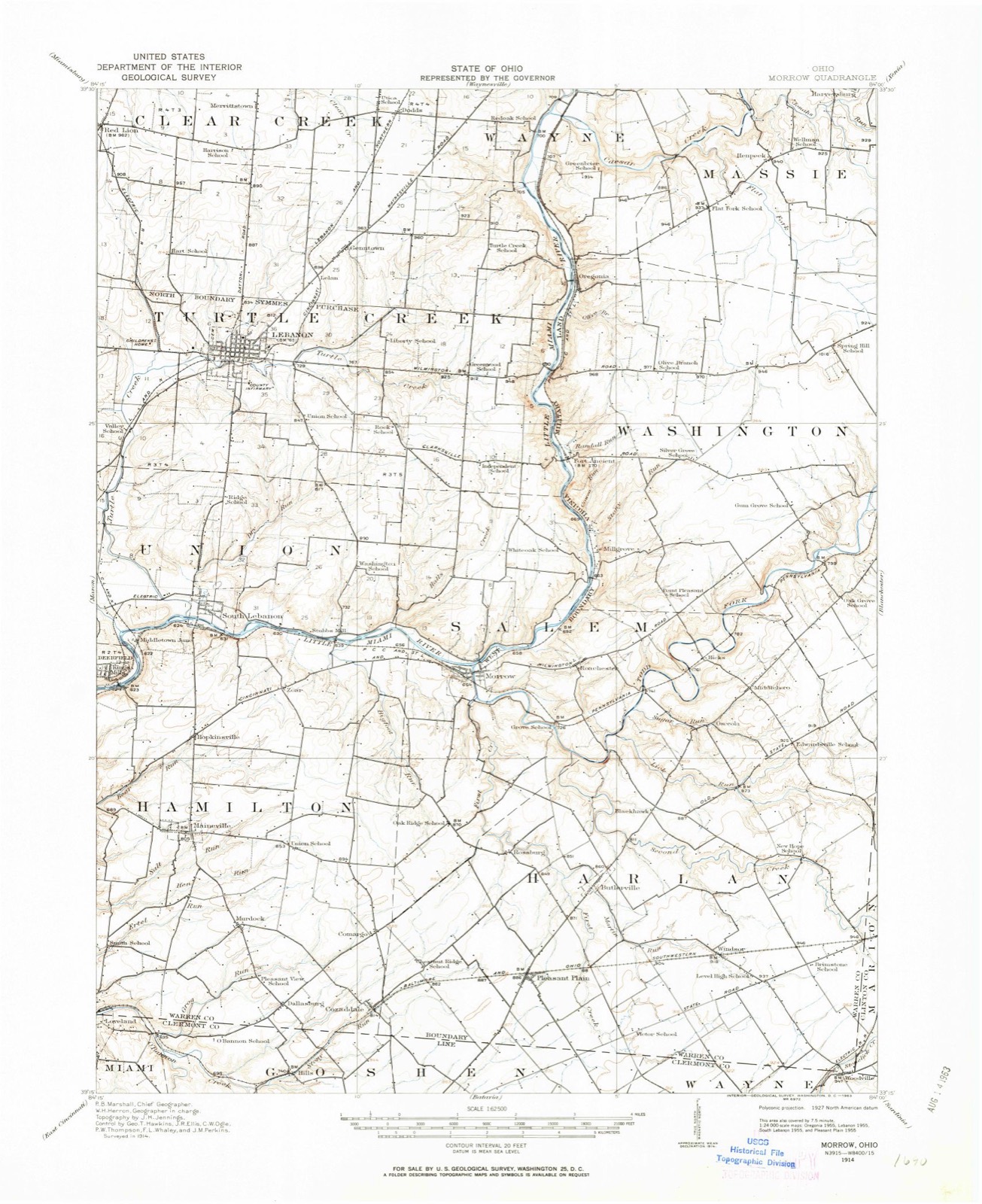
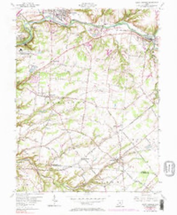
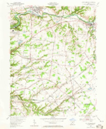
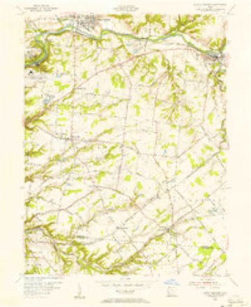
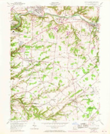
14 topographic sheets cover this place, the earliest surveyed in 1914 and the latest in 1986. It stands in Hamilton Township. It lies in ZIP code area 45039. The Survey maps it on the South Lebanon quadrangle.
Then and now
1914 to 1986The same ground, surveyed 72 years apart. Drag the handle to wipe between them. Both sheets are United States Geological Survey originals; neither has been altered.

Topographic sheets covering this place
14 sheetsMatched by testing this settlement's coordinate against the published boundary of every sheet in the United States Geological Survey's historical collection. Each opens the scanned sheet at the Survey.
- 1914 USGS Morrow quadrangle1:62500
- 1916 USGS Morrow quadrangle1:62500
- 1916 USGS Morrow quadrangle1:62500
- 1953 USGS Cincinnati quadrangle1:250000
- 1953 USGS Cincinnati quadrangle1:250000
- 1953 USGS Cincinnati quadrangle1:250000
- 1955 USGS South Lebanon quadrangle1:24000
- 1955 USGS South Lebanon quadrangle1:24000
- 1955 USGS South Lebanon quadrangle1:24000
- 1955 USGS South Lebanon quadrangle1:24000
- 1957 USGS Cincinnati quadrangle1:250000
- 1986 USGS Cincinnati quadrangle1:100000
- 1986 USGS Cincinnati quadrangle1:100000
- 1986 USGS Cincinnati quadrangle1:100000







In the county-history sources
33,569 words on this townshipThe History of Warren County, Ohio, published 1882 names this settlement in its chapter on Hamilton Township. These are the passages that mention it, exactly as the scans read.
The early settlers, in many instances, interred their dead on their farms; yet there are throughout the township a number of graveyards of a very early date. The one known as Hill's Graveyard, on the hill near the Clermont County line, was used for this purpose as early as 1800, in which year there was buried J. Hill, as shown by the rude headstone. The first interment at Bethel Graveyard was that of Annie Spence, in the year 1806. The Hopkinsville Bury ing Ground owes its origin to the following incident: At an early date, a body (the name not remembered) was being taken to Deerfield for burial, and when the funeral train reached the river they found it too high to ford. They returned to Hopkinsville, and, after much persuasion, obtained permission iron Col. John Hopkins to bury the body on the site of the present burying grounds.
Passage source: The History of Warren County, Ohio, published 1882.
In this contest Hamilton took an active part She furnished two companies - the one a light-horse company, commanded by Col. John Hopkins, the other a rifle company, commanded by Theophilus Simonton. The writer has not been able to learn the names of any members of the first named company. The latter while making ready to take the field, had its headquarters at Hopkinsville, Theophilus Simonton was chosen Captain. The company was composed of about forty men. The writer has been able to gather from tradition and records the following names of members of the company. The list so far as it extends is thought to be reliable. Theophilus Simonton, Captain; Alex Simonton, William Spence, William Hopkins, Samuel Anderson, Arnold Snyder, Henry Snell, Samuel B. Walker, Robert Shields, Thomas Wallace, John Wallace, Alex Brannon, John Brannon, Ludwick Thompson, James Johnson, Alex Bigham, Theophilus Wasson, Alexander Work, Abraham Haney, William Coburn, David Simonton, Valentine Ertle, James Hill, Hugh McCullough, John Vandervort, Jonas Vandervort and John Gillis. David Shields, Colen Spence and Archibald Clinton were also out in the service, but probably not in this company. Simonton' s company was at the siege of Fort Meigs and underwent many hardships. The following extract from an original letter, now in existence, will serve to show the spirit that animated those heroes:
Passage source: The History of Warren County, Ohio, published 1882.
The first post office in the township was at Hopkinsville, established is 1825, and afterward post offices were established in the following order viz. : Dallasburg, 1848, Maineville, 1854; Foster's Crossing, 1859; Murdoch, 1866, and Cozaddale, 1871. The very earliest settlers received their mail probably at Lebanon. The following, copied from the address on the back of an early letter, will show how indefinite the directions :
Passage source: The History of Warren County, Ohio, published 1882.
Machine-read from a century-old scan, so expect the errors a machine makes: misspelled names, dropped words, stray characters.
Read the whole chapter on Hamilton Township - it names this place 4 more 4 times.
Specimens collected near this place
12 of 3,740 shownRegional context, not property-specific evidence. Museums hold 3,740 specimens collected within 10 miles of Hopkinsville between 1850 and 1974: 2,918 Animalia, 676 Fungi, 91 Plantae, 40 Protozoa, 13 Unrecorded, 2 Chromista. 12 distinct Species records are shown. Collected by 14529, A. Gaufin, A. H. W. Povah and others. Each is a physical object with a catalogue number, and each entry opens the museum's record. This is what was collected and kept, not a survey of what lives here - nothing can be concluded from a species being absent.
| Image | Species | Year | Collected by | Where, as recorded |
|---|---|---|---|---|
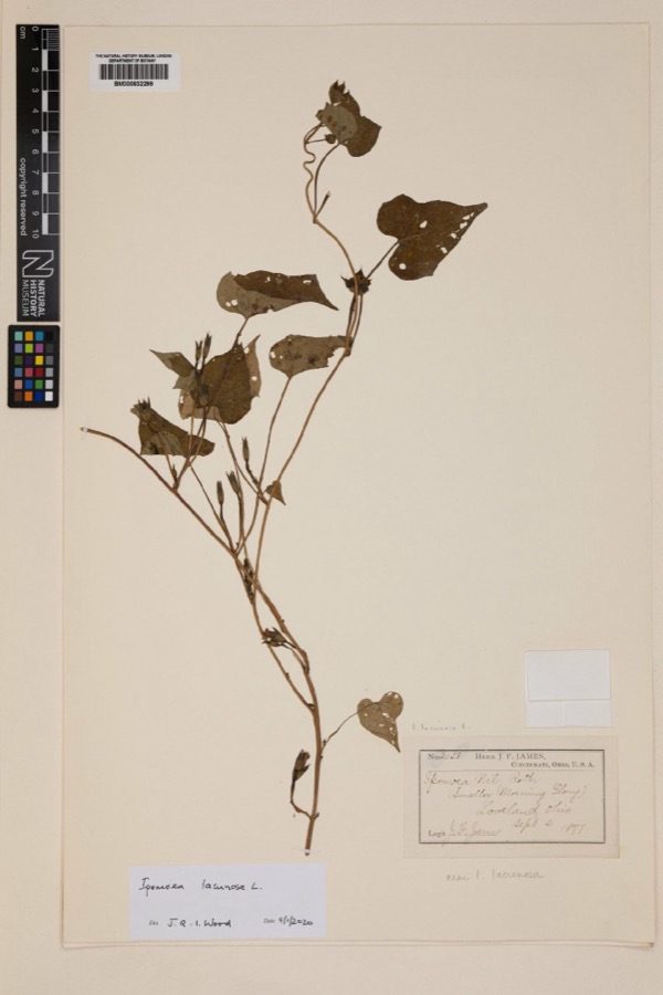 | Ipomoea lacunosa L. | 1877 | Joseph Francis James | Loveland |
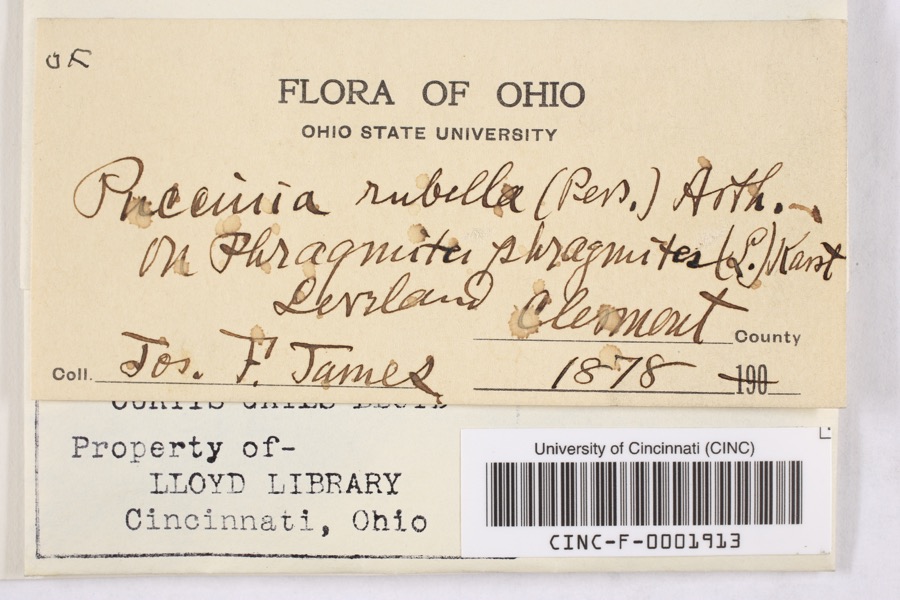 | Puccinia rubella (Pers. ex J.F.Gmel.) Arthur | 1878 | James, F. | Loveland |
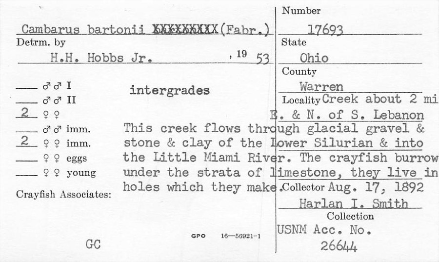 | Cambarus bartonii (Fabricius, 1798) | 1892 | H. Smith | Creek About 2 Mile NE Of South Lebanon |
 | Fomes applanatus (Pers.) Fr. | 1850 | James D. L. | Loveland |
 | Eragrostis cilianensis (All.) Vignolo ex Janch. | 1877 | James, J.F. | Loveland |
 | Polyporus hirsutus (Wulfen) Fr. | 1877 | James D. L. | Loveland |
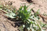 | Rumex altissimus Wood | 1877 | J. F. James | Loveland. |
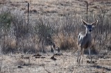 | Colinus virginianus virginianus (Linnaeus, 1758) | 1878 | Collector(s): unknown | Foster Point |
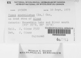 | Fomes scutellatus (Schwein.) Cooke | 1878 | James D. L. | Loveland |
 | Justicia americana (L.) Vahl | 1878 | Lloyd, Curtis Gates | Loveland |
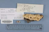 | Polyporus adustus (Willd.) Fr. | 1879 | James D. L. | Loveland |
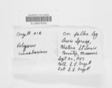 | Polyporus cinnabarinus (Jacq.) Fr. | 1879 | James D. L. | Loveland |
All 3,740 specimens within 10 miles, at the Global Biodiversity Information Facility.
Mines and quarries near this place
8 within 5 milesRegional context, not property-specific evidence. The federal mineral resources record lists 8 workings within 5 miles of Hopkinsville: 5 producers, 2 plants, 1 past producer. 7 still produce. What was taken out: Sand and Gravel, Construction. Distance is straight-line from the map coordinates, so a quarry counted here may appear on a neighbouring settlement's page as well.
| Where | Site | Commodity | Status | Recorded |
|---|---|---|---|---|
| Clark Pit & Mill | Sand and Gravel, Construction | Plant | ||
| Dravo South Lebanon Plant | Sand and Gravel, Construction | Producer | ||
| Freeze Pit | Sand and Gravel, Construction | Past Producer | ||
| Mason Pit & Mill | Sand and Gravel, Construction | Producer | ||
| Michael Pit | Sand and Gravel, Construction | Plant | ||
| Morrow Gravel Plant No 1 Mill & Pit | Sand and Gravel, Construction | Producer | ||
| Morrow Plant & Pit | Sand and Gravel, Construction | Producer | ||
| Turtlecreek Pit | Sand and Gravel, Construction | Producer |
Storms near this place
4 since 2019Regional context, not property-specific evidence. The National Weather Service names Hopkinsville in 4 storm reports between 2019 and 2025: 2 flood, 2 flash flood. No death or injury is recorded in these reports. Each account below is quoted exactly as the forecast office filed it, from the NOAA Storm Events Database, and each date opens the federal record of that event.
| When | Event | Place named | Harm | What the report says |
|---|---|---|---|---|
| July 2025 | Flash Flood | Hopkinsville | - | Rushing water was reported over Stephens Road at Village Green Parkway. |
| July 2025 | Flash Flood | Hopkinsville | - | Rushing water was reported over Zoar Road between Nunner Road and Plumstead Lane. The road was closed by the fire department. |
| June 2019 | Flood | Hopkinsville | - | High water was reported on Stephens Road west of Zoar Road, making it nearly impassible. |
| August 2019 | Flood | Hopkinsville | - | Water was reported over part of a road. |
Nearest settlements
The eight closest, with where each one stands in the county. Distances are straight-line, computed from the Geographic Names Information System coordinates.
| Map | Place | Distance | Sheets |
|---|---|---|---|
| Maineville | 1.6 miles | 14 | |
| Zoar | 1.7 miles | 14 | |
| Mary Ellen | 1.9 miles | 14 | |
| Kings Mills | 1.9 miles | 14 | |
| South Lebanon | 2.2 miles | 14 | |
| Foster | 2.2 miles | 15 | |
| Butterworth (historical) | 3.1 miles | 15 | |
| Murdock | 3.3 miles | 14 |
Provenance
This settlement is recorded in the Geographic Names Information System as feature 1066308. The sheet list is computed by point-in-boundary test against the United States Geological Survey's historical topographic inventory. Both are works of the United States government and carry no copyright under 17 U.S.C. 105.
Specimens. Global Biodiversity Information Facility (GBIF), https://www.gbif.org/. Only records licensed CC0 or CC BY are used. Records licensed CC BY-NC are excluded because this site carries advertising. Images are checked individually and any whose licence is non-commercial, no-derivatives or unreadable is refused.
Mines and quarries. USGS Mineral Resources Data System (MRDS) https://mrdata.usgs.gov/mrds/ A work of the United States government, no copyright under 17 U.S.C. 105.
Storms. NOAA National Centers for Environmental Information, Storm Events Database https://www.ncei.noaa.gov/stormevents/ A work of the United States government, no copyright under 17 U.S.C. 105. Narratives are quoted verbatim from the National Weather Service report and are not edited or summarised.