 Block
Block
Kings Mills, Ohio
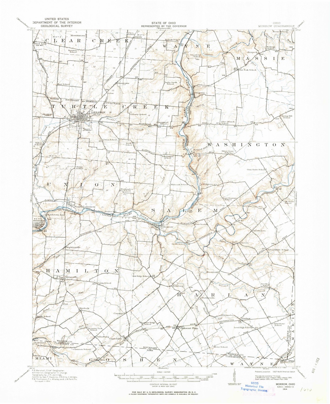
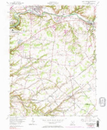
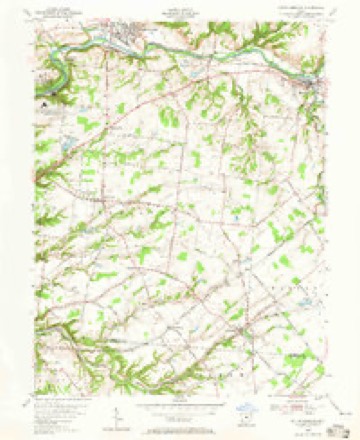
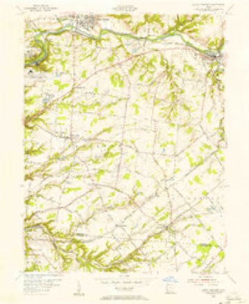
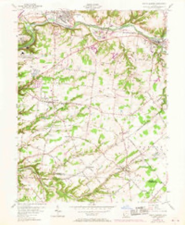
14 topographic sheets cover this place, the earliest surveyed in 1914 and the latest in 1986. It stands in Deerfield Township. It lies in ZIP code area 45034. It stands on Muddy Creek. The Survey maps it on the South Lebanon quadrangle.
Then and now
1914 to 1986The same ground, surveyed 72 years apart. Drag the handle to wipe between them. Both sheets are United States Geological Survey originals; neither has been altered.

Topographic sheets covering this place
14 sheetsMatched by testing this settlement's coordinate against the published boundary of every sheet in the United States Geological Survey's historical collection. Each opens the scanned sheet at the Survey.
- 1914 USGS Morrow quadrangle1:62500
- 1916 USGS Morrow quadrangle1:62500
- 1916 USGS Morrow quadrangle1:62500
- 1953 USGS Cincinnati quadrangle1:250000
- 1953 USGS Cincinnati quadrangle1:250000
- 1953 USGS Cincinnati quadrangle1:250000
- 1955 USGS South Lebanon quadrangle1:24000
- 1955 USGS South Lebanon quadrangle1:24000
- 1955 USGS South Lebanon quadrangle1:24000
- 1955 USGS South Lebanon quadrangle1:24000
- 1957 USGS Cincinnati quadrangle1:250000
- 1986 USGS Cincinnati quadrangle1:100000
- 1986 USGS Cincinnati quadrangle1:100000
- 1986 USGS Cincinnati quadrangle1:100000







Specimens collected nearby
12 of 3,745 shownMuseums hold 3,745 specimens collected within 10 miles of Kings Mills between 1850 and 1974: 2,921 Animalia, 677 Fungi, 92 Plantae, 40 Protozoa, 13 Unrecorded, 2 Chromista. 12 distinct Species records are shown. Collected by 14529, A. Gaufin, A. H. W. Povah and others. Each is a physical object with a catalogue number, and each entry opens the museum's record. This is what was collected and kept, not a survey of what lives here - nothing can be concluded from a species being absent.
| Image | Species | Year | Collected by | Where, as recorded |
|---|---|---|---|---|
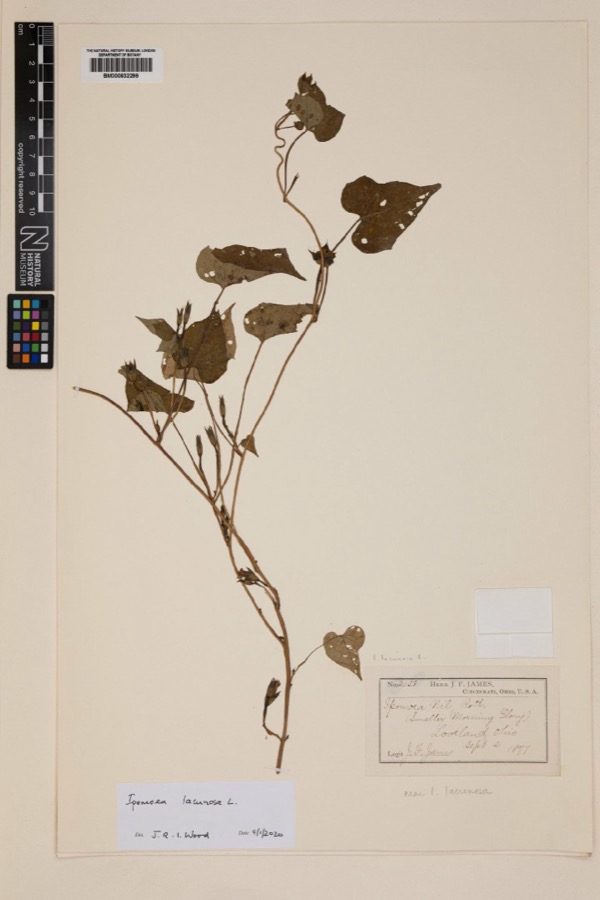 | Ipomoea lacunosa L. | 1877 | Joseph Francis James | Loveland |
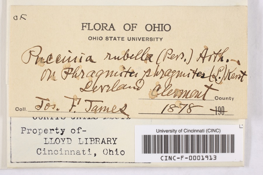 | Puccinia rubella (Pers. ex J.F.Gmel.) Arthur | 1878 | James, F. | Loveland |
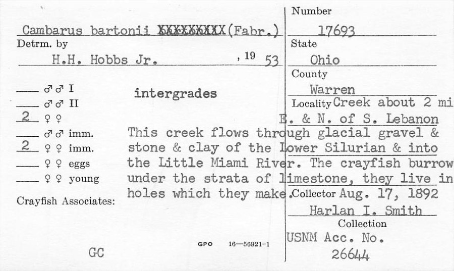 | Cambarus bartonii (Fabricius, 1798) | 1892 | H. Smith | Creek About 2 Mile NE Of South Lebanon |
 | Fomes applanatus (Pers.) Fr. | 1850 | James D. L. | Loveland |
 | Eragrostis cilianensis (All.) Vignolo ex Janch. | 1877 | James, J.F. | Loveland |
 | Polyporus hirsutus (Wulfen) Fr. | 1877 | James D. L. | Loveland |
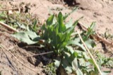 | Rumex altissimus Wood | 1877 | J. F. James | Loveland. |
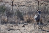 | Colinus virginianus virginianus (Linnaeus, 1758) | 1878 | Collector(s): unknown | Foster Point |
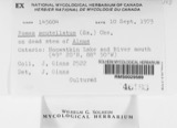 | Fomes scutellatus (Schwein.) Cooke | 1878 | James D. L. | Loveland |
 | Justicia americana (L.) Vahl | 1878 | Lloyd, Curtis Gates | Loveland |
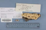 | Polyporus adustus (Willd.) Fr. | 1879 | James D. L. | Loveland |
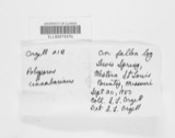 | Polyporus cinnabarinus (Jacq.) Fr. | 1879 | James D. L. | Loveland |
All 3,745 specimens within 10 miles, at the Global Biodiversity Information Facility.
Mines and quarries nearby
7 within 5 milesThe federal mineral resources record lists 7 workings within 5 miles of Kings Mills: 5 producers, 1 plant, 1 past producer. 6 still produce. What was taken out: Sand and Gravel, Construction. Distance is straight-line from the map coordinates, so a quarry counted here may appear on a neighbouring settlement's page as well.
| Where | Site | Commodity | Status | Recorded |
|---|---|---|---|---|
| Clark Pit & Mill | Sand and Gravel, Construction | Plant | ||
| Dravo South Lebanon Plant | Sand and Gravel, Construction | Producer | ||
| Freeze Pit | Sand and Gravel, Construction | Past Producer | ||
| Mason Pit & Mill | Sand and Gravel, Construction | Producer | ||
| Morrow Plant & Pit | Sand and Gravel, Construction | Producer | ||
| Turtlecreek Pit | Sand and Gravel, Construction | Producer | ||
| Watson Pit | Sand and Gravel, Construction | Producer |
Storms nearby
11 since 1996The National Weather Service names Kings Mills in 11 storm reports between 1996 and 2025: 6 hail, 3 thunderstorm wind, 2 flood. No death or injury is recorded in these reports. Each account below is quoted exactly as the forecast office filed it, from the NOAA Storm Events Database, and each date opens the federal record of that event.
| When | Event | Place named | Harm | What the report says |
|---|---|---|---|---|
| March 2025 | Thunderstorm Wind | Kings Mills | $10,000 | Several trailers were overturned. |
| March 2025 | Thunderstorm Wind | Kings Mills | $3,000 | Several trees were downed. |
| July 2020 | Thunderstorm Wind | Kings Mills | $3,000 | A few trees were downed in the Kings Mills area. |
| March 2008 | Flood | Kings Mills | $3,000 | Mason Morrow Millgrove Road was flooded and closed near South Lebanon. Wilmington Road was flooded and closed south of Oregonia. |
| October 2007 | Hail | Kings Mills | $1,000 | Hail ranging from penny to nickel sized fell across south-central Warren county. |
| June 2008 | Hail | Kings Mills | $1,000 | no account filed |
| April 2017 | Flood | Kings Mills | - | Standing and ponding of water was reported on Kings Mills Rd, due to clogged storm drain. |
| May 2016 | Hail | Kings Mills | - | no account filed |
| April 2013 | Hail | Kings Mills | - | no account filed |
| August 2010 | Hail | Kings Mills | - | no account filed |
| June 1996 | Hail | Kings Mills | - | no account filed |
Nearest settlements
The eight closest, with where each one stands in the county. Distances are straight-line, computed from the Geographic Names Information System coordinates.
| Map | Place | Distance | Sheets |
|---|---|---|---|
| Mary Ellen | 1.8 miles | 14 | |
| Hopkinsville | 1.9 miles | 14 | |
| South Lebanon | 2.1 miles | 14 | |
| Foster | 2.5 miles | 15 | |
| Hageman | 2.5 miles | 16 | |
| Stokes (historical) | 2.6 miles | 16 | |
| Zoar | 3.0 miles | 14 | |
| Maineville | 3.2 miles | 14 |
Provenance
This settlement is recorded in the Geographic Names Information System as feature 1066310. The sheet list is computed by point-in-boundary test against the United States Geological Survey's historical topographic inventory. Both are works of the United States government and carry no copyright under 17 U.S.C. 105.
Specimens. Global Biodiversity Information Facility (GBIF), https://www.gbif.org/. Only records licensed CC0 or CC BY are used. Records licensed CC BY-NC are excluded because this site carries advertising. Images are checked individually and any whose licence is non-commercial, no-derivatives or unreadable is refused.
Mines and quarries. USGS Mineral Resources Data System (MRDS) https://mrdata.usgs.gov/mrds/ A work of the United States government, no copyright under 17 U.S.C. 105.
Storms. NOAA National Centers for Environmental Information, Storm Events Database https://www.ncei.noaa.gov/stormevents/ A work of the United States government, no copyright under 17 U.S.C. 105. Narratives are quoted verbatim from the National Weather Service report and are not edited or summarised.