 Block
Block
Zoar, Ohio
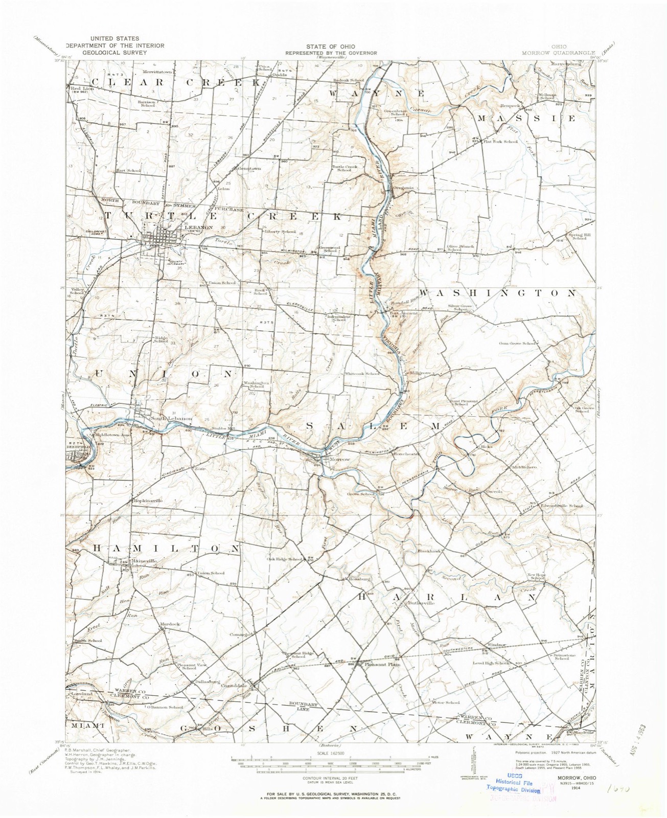
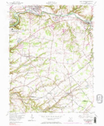
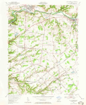
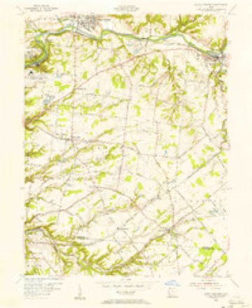
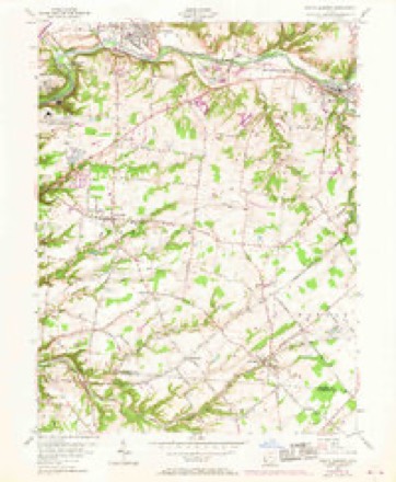
14 topographic sheets cover this place, the earliest surveyed in 1914 and the latest in 1986. It stands in Hamilton Township. It lies in ZIP code area 45152. It stands on Bigfoot Run. The Survey maps it on the South Lebanon quadrangle.
Then and now
1914 to 1986The same ground, surveyed 72 years apart. Drag the handle to wipe between them. Both sheets are United States Geological Survey originals; neither has been altered.

Topographic sheets covering this place
14 sheetsMatched by testing this settlement's coordinate against the published boundary of every sheet in the United States Geological Survey's historical collection. Each opens the scanned sheet at the Survey.
- 1914 USGS Morrow quadrangle1:62500
- 1916 USGS Morrow quadrangle1:62500
- 1916 USGS Morrow quadrangle1:62500
- 1953 USGS Cincinnati quadrangle1:250000
- 1953 USGS Cincinnati quadrangle1:250000
- 1953 USGS Cincinnati quadrangle1:250000
- 1955 USGS South Lebanon quadrangle1:24000
- 1955 USGS South Lebanon quadrangle1:24000
- 1955 USGS South Lebanon quadrangle1:24000
- 1955 USGS South Lebanon quadrangle1:24000
- 1957 USGS Cincinnati quadrangle1:250000
- 1986 USGS Cincinnati quadrangle1:100000
- 1986 USGS Cincinnati quadrangle1:100000
- 1986 USGS Cincinnati quadrangle1:100000







In the county-history sources
33,569 words on this townshipThe History of Warren County, Ohio, published 1882 names this settlement in its chapter on Hamilton Township. These are the passages that mention it, exactly as the scans read.
Zoar - This place was also settled at an early day, but the year cannot now with certainty be given. It at one time gave promise of being quite a manufacturing place. About the years 1844 to 1847, there were two blacksmith shops and two wagon-makers' shops located here, working some eight to ten hands. Ferdinand Dugan was one of the proprietors and enjoyed quite a large Southern trade in plows and wagons. He also manufactured wagons for service in the Mexican war. A wheelwright shop, by Matthew McNeely, was also, at this time, in full operation. But this prosperity was destined to be only transitory. The building of railroads and establishment of large manufactories changed all this, and the streets of Zoar became long ago deserted and the sound of the hammer is no longer heard within her borders.
Passage source: The History of Warren County, Ohio, published 1882.
The forms of religion that prevailed largely among the early settlers, wen1 Presbyterian and Methodist. The former had its center in the southern part of the township, among the settlers from Pennsylvania. The latter had two strongholds within the township, one at Zoar, and the other in the Hill settlement, in the southwestern part of the township.
Passage source: The History of Warren County, Ohio, published 1882.
This was the pioneer Methodist organization in the township. Tho Motmtees and Ludlums were prominent among the early, active and influential members. The first church building was a log one, and stood on the same spot where the present one now stands, and was built about the year 1820. Previous to this time, class-meetings were held at private houses, and the Methodists and Presbyterians united in occasional services at Mounts' Station. The church continued to enjoy a good degree of prosperity, and in 1837 the log building was replaced by the present one. In the winter of 1843-44, a most remarkable revival took place in this church. The meetings were under the ministration of Rev. Smith and Fife, two ministers possessing unrivaled powers as revivalists. The religions excitement attending these meetings, was very great and more than two hundred were converted. This period marked the time of the church's greatest prosperity at Zoar. The establishment of an organization at Maineville, a few years later, gradually drew the interest in that direction, and the members are now comparatively few.
Passage source: The History of Warren County, Ohio, published 1882.
Machine-read from a century-old scan, so expect the errors a machine makes: misspelled names, dropped words, stray characters.
Read the whole chapter on Hamilton Township - it names this place 2 more 2 times.
Specimens collected near this place
12 of 3,341 shownRegional context, not property-specific evidence. Museums hold 3,341 specimens collected within 10 miles of Zoar between 1850 and 1974: 2,926 Animalia, 323 Fungi, 75 Plantae, 12 Unrecorded, 4 Protozoa, 1 Chromista. 12 distinct Species records are shown. Collected by 14529, A. Gaufin, A. J. Mix and others. Each is a physical object with a catalogue number, and each entry opens the museum's record. This is what was collected and kept, not a survey of what lives here - nothing can be concluded from a species being absent.
| Image | Species | Year | Collected by | Where, as recorded |
|---|---|---|---|---|
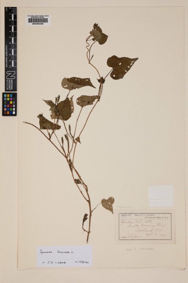 | Ipomoea lacunosa L. | 1877 | Joseph Francis James | Loveland |
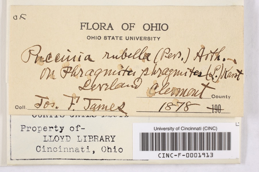 | Puccinia rubella (Pers. ex J.F.Gmel.) Arthur | 1878 | James, F. | Loveland |
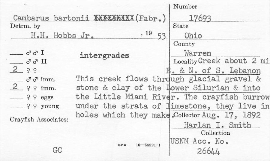 | Cambarus bartonii (Fabricius, 1798) | 1892 | H. Smith | Creek About 2 Mile NE Of South Lebanon |
 | Fomes applanatus (Pers.) Fr. | 1850 | James D. L. | Loveland |
 | Eragrostis cilianensis (All.) Vignolo ex Janch. | 1877 | James, J.F. | Loveland |
 | Polyporus hirsutus (Wulfen) Fr. | 1877 | James D. L. | Loveland |
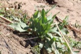 | Rumex altissimus Wood | 1877 | J. F. James | Loveland. |
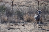 | Colinus virginianus virginianus (Linnaeus, 1758) | 1878 | Collector(s): unknown | Foster Point |
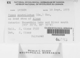 | Fomes scutellatus (Schwein.) Cooke | 1878 | James D. L. | Loveland |
 | Justicia americana (L.) Vahl | 1878 | Lloyd, Curtis Gates | Loveland |
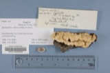 | Polyporus adustus (Willd.) Fr. | 1879 | James D. L. | Loveland |
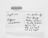 | Polyporus cinnabarinus (Jacq.) Fr. | 1879 | James D. L. | Loveland |
All 3,341 specimens within 10 miles, at the Global Biodiversity Information Facility.
Mines and quarries near this place
5 within 5 milesRegional context, not property-specific evidence. The federal mineral resources record lists 5 workings within 5 miles of Zoar: 4 producers, 1 past producer. 4 still produce. What was taken out: Sand and Gravel, Construction. Distance is straight-line from the map coordinates, so a quarry counted here may appear on a neighbouring settlement's page as well.
| Where | Site | Commodity | Status | Recorded |
|---|---|---|---|---|
| Dravo South Lebanon Plant | Sand and Gravel, Construction | Producer | ||
| Freeze Pit | Sand and Gravel, Construction | Past Producer | ||
| Morrow Gravel Plant No 1 Mill & Pit | Sand and Gravel, Construction | Producer | ||
| Morrow Plant & Pit | Sand and Gravel, Construction | Producer | ||
| Turtlecreek Pit | Sand and Gravel, Construction | Producer |
Nearest settlements
The eight closest, with where each one stands in the county. Distances are straight-line, computed from the Geographic Names Information System coordinates.
| Map | Place | Distance | Sheets |
|---|---|---|---|
| Hopkinsville | 1.7 miles | 14 | |
| Mary Ellen | 1.8 miles | 14 | |
| South Lebanon | 1.8 miles | 14 | |
| Maineville | 2.9 miles | 14 | |
| Kings Mills | 3.0 miles | 14 | |
| Ridge (historical) | 3.3 miles | 15 | |
| Morrow | 3.4 miles | 14 | |
| Foster | 3.9 miles | 15 |
Elsewhere
Matched on this settlement's Geographic Names Information System number rather than its name, so it cannot be a different place of the same name in another state.
| Wikipedia article on Zoar | An encyclopaedic summary. Its text is share-alike, so it is linked here rather than copied. |
| Wikidata item Q8073165 | The structured record the population and elevation above come from. Public domain (CC0). |
Provenance
This settlement is recorded in the Geographic Names Information System as feature 1066323. The sheet list is computed by point-in-boundary test against the United States Geological Survey's historical topographic inventory. Both are works of the United States government and carry no copyright under 17 U.S.C. 105.
Specimens. Global Biodiversity Information Facility (GBIF), https://www.gbif.org/. Only records licensed CC0 or CC BY are used. Records licensed CC BY-NC are excluded because this site carries advertising. Images are checked individually and any whose licence is non-commercial, no-derivatives or unreadable is refused.
Mines and quarries. USGS Mineral Resources Data System (MRDS) https://mrdata.usgs.gov/mrds/ A work of the United States government, no copyright under 17 U.S.C. 105.