 Block
Block
Ithaca, Ohio
8 topographic sheets cover this place, the earliest surveyed in 1953 and the latest in 1986. It stands in Twin Township. It lies in ZIP code area 45304. The Survey maps it on the Arcanum quadrangle. 81 people lived here at the 2020 count. It stands 1,033 feet above sea level.
Population over time
2 figuresIthaca fell from 136 to 81 between 2010 and 2020. These are the recorded population figures Wikidata holds for this place, reached through the Geographic Names Information System number this page is keyed on rather than by name, so they belong to this place and not to another of the same name. Most are census counts, but not all are: an early figure may be a founding or settlement estimate. The change column is computed, and is left blank where more than 20 years separate a figure from the one before it, because a gap that long is not a change between two counts.
| Year | People | Change |
|---|---|---|
| 2010 | 136 | |
| 2020 | 81 | -55 (-40%) |
Then and now
1953 to 1986The same ground, surveyed 33 years apart. Drag the handle to wipe between them. Both sheets are United States Geological Survey originals; neither has been altered.

Topographic sheets covering this place
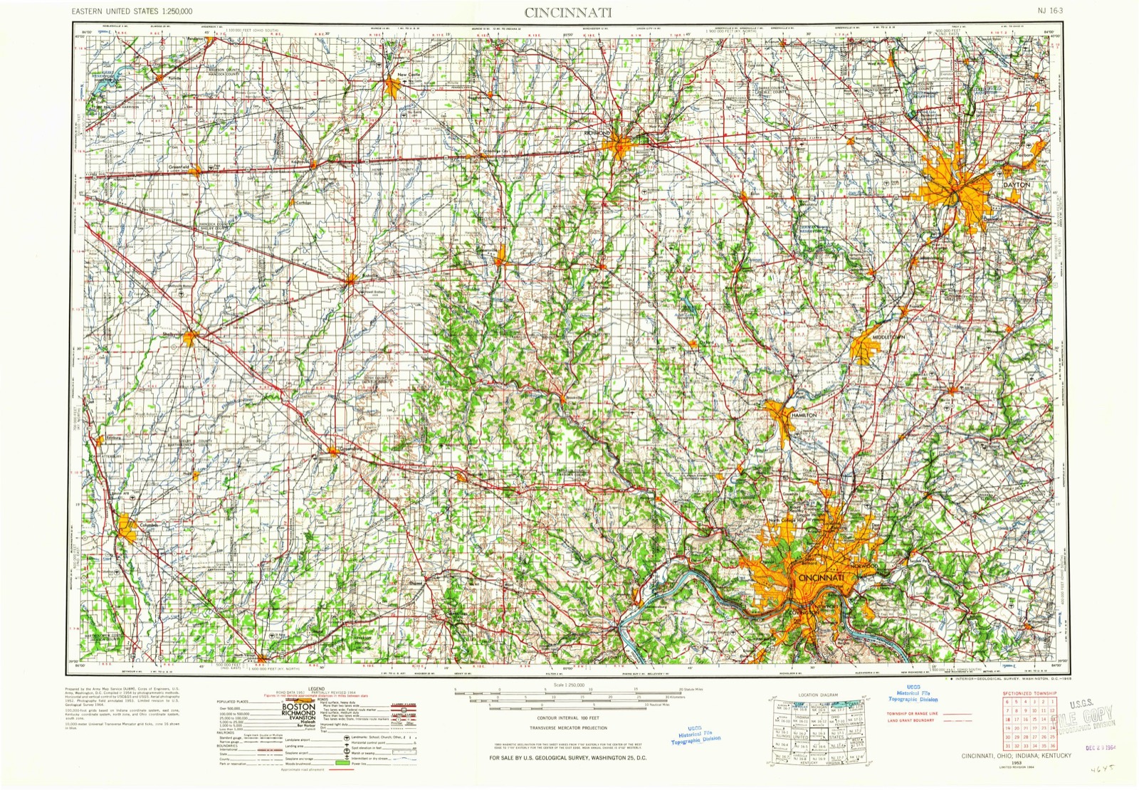
8 sheetsMatched by testing this settlement's coordinate against the published boundary of every sheet in the United States Geological Survey's historical collection. Each opens the scanned sheet at the Survey.
- 1953 USGS Cincinnati quadrangle1:250000
- 1953 USGS Cincinnati quadrangle1:250000
- 1953 USGS Cincinnati quadrangle1:250000
- 1957 USGS Cincinnati quadrangle1:250000
- 1961 USGS Arcanum quadrangle1:24000
- 1961 USGS Arcanum quadrangle1:24000
- 1986 USGS Dayton quadrangle1:100000
- 1986 USGS Dayton quadrangle1:100000






In the county-history sources
14,484 words on this townshipThe History of Darke County, Ohio, Containing a History of the County; Its Cities, Towns, Etc.; General and Local Statistics; Portraits of Early Settlers and Prominent Men;, published 1880 names this settlement in its chapter on Twin Township. These are the passages that mention it, exactly as the scans read.
On Christmas Day, 1800, a company of emigrants began a long and toilsome journey from North Cai'olina westward, across the Ohio River, and northward, into the Indian country. Accounts of the fair, fertile valleys of the Miamis had reached their homes and incited them to go forward to settle upon the banks of the Upper Miami. These emigrants located north of Dayton, in the fertile valley of the Stillwater. From the ranks of this colony, about 1816, came the first permanent settlers of our township. The van was led by Richard Robbins, born in Randolph County, N. C, where he celebrated his marriage previous to his removal to the Stillwater. He became a resident of Twin Township in 1815, having settled on land just west of the present site of Ithaca. From this dates the actual settlement of the township. The war had closed, but the Indians remained, and white and red men regarded each other with distrust. Both went armed. One day, while Robbins was feeding some pigs which were confined in a small pen to protect them from the wolves, the sharp report of a flint-lock rifle was heard, and the settler saw an Indian neighbor withdrawing his body behind a tree hard by. He charged the attempt to shoot him upon the Indian, who earnestly denied any such intention. Robbins would not be convinced. He always maintained that the shot was fired with a view of getting possession of a fine rifle much coveted by the Indians. The settler was carried off by an attack of the measles, in 1824. David Lucas, from the same company of immigrants, followed Robbins in 1816, and located just south of Ithaca on land owned by Champe McGoff. In the same spring, two brothers, William and Eli Curtner, entered land and began a clearing further up Miller's Fork, on land now owned by Mr. Albright. These men located here in March, and in May following, a son, named William, was born to Eli Curtner, and this was the first white child born in the township.
Passage source: The History of Darke County, Ohio, Containing a History of the County; Its Cities, Towns, Etc.; General and Local Statistics; Portraits of Early Settlers and Prominent Men;, published 1880.
The fall of 1816 brought in a few more settlers from the Stillwater. Land was cheap and good, and attracted many intent upon securing themselves homes. One after another settled along the creek and began his labor, encouraged by the older settlers, former neighbors. In the fall, came Philip Shank, his father, Frederick, and their families, and entered the land now owned by George Corwin. Again the season went round, and again there came an influx of ininiigrants. David Shearer and James McDole settled on the Colville farm, just west of Ithaca. The Shanks were natives of Virginia ; and of the earliest settlers on the Stillwater, Philip Rutter, of Virginia, and Daniel Baumgardner, of North Carolina, located on Section 16, school land ; three brothers. Isaac, Thomas and George Walker, primarily from Rhode Island, and later from Virginia and Tennessee, from which State they early made their way to Stillwater Valley, whence they moved to this township, locating on land owned by Troxel & Trump. Frazee Doty came in the spring of 1817, and settled just west of Ithaca, on land now owned by Matthew Guy. Mr. Dot}' was one of Twin's prominent townsmen, and officiated as a local minister. A few years ago, he removed to Missouri, where, a short time ago, he was found by the roadside dead, as was the horse which he had been driving. The cause of the accident was unknown. Mrs. Doty, his widow. Mrs. Shank, wife of Philip Shank, and Mrs. Curtner, wife of William Curtner, are the only surviving persons of the original first settlers. During the fall of 1817, quite an addition was made to the settlement from Stillwater. Andrew Burkett was one who came at this time. For several years, immigration was slow, but constant. We are not able to trace in order the arrival of settlers ; however, we may recall Michael Bickett, Emery Rogers and William Lemon, who was the first Justice of the Peace and Captain of the militia company of the neighborhood. For many years, the east and northeast parts of the township remained somewhat unsettled, owing to the swampy condition of the surface, but, in time, these lands were entered, drainage was resorted to, and. as elsewhere, they have become by far the choice farming lands of the country.
Passage source: The History of Darke County, Ohio, Containing a History of the County; Its Cities, Towns, Etc.; General and Local Statistics; Portraits of Early Settlers and Prominent Men;, published 1880.
The early settlers have nearly all been called from their toils and privations to final rest. Peace be to their memories, green grow the grass over their gravis. May the present generation preserve inviolate, and carry to perfection, the sacred heritage bequeathed by them. In this as in nearly all newly settled countries, the industries dependent upon trade were slow of development. Pioneer wants were proportionate to their abilities to satisfy them. Milling was done at the Stillwater and Big Twin, at the Lewisburg settlement, for many years. The first mill - and this appellation is scarcely applicable to it - was erected upon a branch in Section 32, by John Osbrook. This was the old-fashioned corn cracker, and cracked corn then constituted one of the staple articles of food. The daily capacity was limited to a few bushels, and the mill ran but a short period of the year. The first saw-mill built was on Miller's Creek, near Ithaca, by the enterprising John Colville. This man was an early settler, and by energy and enterprise did much for his neighbors and for the township. This mill, like the preceding, was imperfect and rude, but answered its purpose and well fulfilled its work. As the country increased and the wants of the townsmen demanded more pretentious manufactures, these were supplied by remodeling the old mills or by building others. The water-power of the country was defective and difficult of being utilized. Steam power had to be introduced. The first steam grist-mill was erected in Ithaca, by Caswell Sharp. This marked an epoch in the milling line of this section of country. The mill is still in use, being owned and operated by Watson West, and doing good work. In order to preserve the health and spirits of the community, a copper still was erected in the southern part of the township by Daniel Phillips. It was probably the only one ever operated in Twin Township. How long this "venomous worm-' was operated, or what was its capacity, it is not known, but it was inefficient to meet the local demand. If ever intemperance reigned and ruined in after-times in the history of the township, but little harm can be charged to this still. There are now in the township three grist-mills of good capacity and four saw-mills, three of which are circular, with large capacity. These, with several manufactories in Arcanum to be mentioned hereafter, now mark the improvement which the industry and enterprise of a half century have wrought in the township. Almost as soon as the settler had provided a shelter for himself and family, he took counsel with his neighbor for the erection of a place for public worship. From house to house the preacher traveled until increased numbers permitted a house, and as time wore on this was kept in repair, until increased wealth enabled the worshipers to erect churches in cost and character in accord with the times.
Passage source: The History of Darke County, Ohio, Containing a History of the County; Its Cities, Towns, Etc.; General and Local Statistics; Portraits of Early Settlers and Prominent Men;, published 1880.
Machine-read from a century-old scan, so expect the errors a machine makes: misspelled names, dropped words, stray characters.
Read the whole chapter on Twin Township - it names this place 15 more 15 times.
Specimens collected near this place
12 of 30 shownRegional context, not property-specific evidence. Museums hold 30 specimens collected within 10 miles of Ithaca between 1838 and 1969: 28 Animalia, 1 Chromista, 1 Plantae. 12 distinct Species records are shown. Collected by Clark, C. F. (Clarence F.), Collector unspecified, Lloyd, H and others. Each is a physical object with a catalogue number, and each entry opens the museum's record. This is what was collected and kept, not a survey of what lives here - nothing can be concluded from a species being absent.
| Image | Species | Year | Collected by | Where, as recorded |
|---|---|---|---|---|
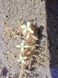 | Callitriche palustris L. | 1838 | Short, C.W. | Lexington, Kentucky. |
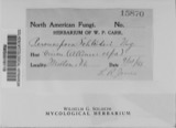 | Peronospora destructor (Berk.) Casp. ex Berk. | 1883 | Collector unspecified | Ithaca |
 | Etheostoma caeruleum Storer, 1845 | 1905 | Clark, C. F. (Clarence F.) | Prairie Outlet, Sec 28 of Neave township, ~0.3 mi NE of Wayne Lakes Park, Neave township |
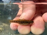 | Etheostoma microperca Jordan & Gilbert, 1888 | 1905 | Clark, C. F. (Clarence F.) | Prairie Outlet, Sec 28 of Neave township, ~0.3 mi NE of Wayne Lakes Park, Neave township |
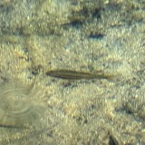 | Chrosomus erythrogaster (Rafinesque, 1820) | 1930 | Trautman, M. B. (Milton Bernard) & Foster, R. (Robert) | East Fork Whitewater River tributary, within Harrison township, near New Madison, Harrison township |
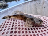 | Cottus bairdii bairdii Girard, 1850 | 1930 | Trautman, M. B. (Milton Bernard) & Foster, R. (Robert) | East Fork Whitewater River tributary, within Harrison township, near New Madison, Harrison township |
 | Etheostoma spectabile (Agassiz, 1854) | 1930 | Trautman, M. B. (Milton Bernard) & Foster, R. (Robert) | Mud Creek, within Neave township, near Wayne Lakes Park, Neave township |
 | Rhinichthys atratulus meleagris Agassiz, 1854 | 1930 | Trautman, M. B. (Milton Bernard) & Foster, R. (Robert) | East Fork Whitewater River tributary, within Harrison township, near New Madison, Harrison township |
 | Orconectes rusticus (Girard, 1852) | 1938 | R. Rhoades | Twin Creek, Sec. 15-1, 16, Butler Township |
 | Campostoma anomalum anomalum | 1939 | Rhoades, R. (Randall) | Bridge Creek, within Neave township (stream not in Sec 21; placed in Sec 22/23), near Wayne Lakes Park, Neave township |
 | Catostomus commersonii (Lacepède, 1803) | 1939 | Rhoades, R. (Randall) | Bridge Creek, within Neave township (stream not in Sec 21; placed in Sec 22/23), near Wayne Lakes Park, Neave township |
 | Etheostoma blennioides blennioides Rafinesque, 1819 | 1939 | Rhoades, R. (Randall) | Bridge Creek, within Neave township (stream not in Sec 21; placed in Sec 22/23), near Wayne Lakes Park, Neave township |
All 30 specimens within 10 miles, at the Global Biodiversity Information Facility.
Storms near this place
3 since 1996Regional context, not property-specific evidence. The National Weather Service names Ithaca in 3 storm reports between 1996 and 2022: 3 thunderstorm wind. No death or injury is recorded in these reports. Each account below is quoted exactly as the forecast office filed it, from the NOAA Storm Events Database, and each date opens the federal record of that event.
| When | Event | Place named | Harm | What the report says |
|---|---|---|---|---|
| November 1996 | Thunderstorm Wind | Ithaca | $300,000 | no account filed |
| May 2022 | Thunderstorm Wind | Ithaca | $1,000 | A large tree was uprooted. |
| June 2016 | Thunderstorm Wind | Ithaca | $500 | A couple of large branches were knocked down. |
Nearest settlements
The eight closest, with where each one stands in the county. Distances are straight-line, computed from the Geographic Names Information System coordinates.
| Map | Place | Distance | Sheets |
|---|---|---|---|
| Gordon | 2.4 miles | 8 | |
| Arcanum | 3.6 miles | 8 | |
| Castine | 3.8 miles | 8 | |
| Midway | 4.9 miles | 9 | |
| Beechgrove | 4.9 miles | 8 | |
| Pitsburg | 4.9 miles | 9 | |
| Sampson (historical) | 5.2 miles | 12 | |
| Steel Point | 5.7 miles | 12 |
Elsewhere
Matched on this settlement's Geographic Names Information System number rather than its name, so it cannot be a different place of the same name in another state.
| Wikipedia article on Ithaca | An encyclopaedic summary. Its text is share-alike, so it is linked here rather than copied. |
| Wikidata item Q2668666 | The structured record the population and elevation above come from. Public domain (CC0). |
Provenance
This settlement is recorded in the Geographic Names Information System as feature 1064893. The sheet list is computed by point-in-boundary test against the United States Geological Survey's historical topographic inventory. Both are works of the United States government and carry no copyright under 17 U.S.C. 105.
Specimens. Global Biodiversity Information Facility (GBIF), https://www.gbif.org/. Only records licensed CC0 or CC BY are used. Records licensed CC BY-NC are excluded because this site carries advertising. Images are checked individually and any whose licence is non-commercial, no-derivatives or unreadable is refused.
Storms. NOAA National Centers for Environmental Information, Storm Events Database https://www.ncei.noaa.gov/stormevents/ A work of the United States government, no copyright under 17 U.S.C. 105. Narratives are quoted verbatim from the National Weather Service report and are not edited or summarised.