 Block
Block
Castine, Ohio
8 topographic sheets cover this place, the earliest surveyed in 1953 and the latest in 1986. It stands in Butler Township. It lies in ZIP code area 45304. The Survey maps it on the Arcanum quadrangle. 110 people lived here at the 2020 count. It stands 1,076 feet above sea level.
Population over time
2 figuresCastine fell from 130 to 110 between 2010 and 2020. These are the recorded population figures Wikidata holds for this place, reached through the Geographic Names Information System number this page is keyed on rather than by name, so they belong to this place and not to another of the same name. Most are census counts, but not all are: an early figure may be a founding or settlement estimate. The change column is computed, and is left blank where more than 20 years separate a figure from the one before it, because a gap that long is not a change between two counts.
| Year | People | Change |
|---|---|---|
| 2010 | 130 | |
| 2020 | 110 | -20 (-15%) |
Then and now
1953 to 1986The same ground, surveyed 33 years apart. Drag the handle to wipe between them. Both sheets are United States Geological Survey originals; neither has been altered.

Topographic sheets covering this place
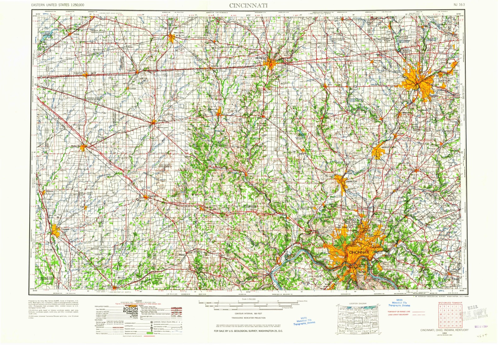
8 sheetsMatched by testing this settlement's coordinate against the published boundary of every sheet in the United States Geological Survey's historical collection. Each opens the scanned sheet at the Survey.
- 1953 USGS Cincinnati quadrangle1:250000
- 1953 USGS Cincinnati quadrangle1:250000
- 1953 USGS Cincinnati quadrangle1:250000
- 1957 USGS Cincinnati quadrangle1:250000
- 1961 USGS Arcanum quadrangle1:24000
- 1961 USGS Arcanum quadrangle1:24000
- 1986 USGS Dayton quadrangle1:100000
- 1986 USGS Dayton quadrangle1:100000






In the county-history sources
15,802 words on this townshipThe History of Darke County, Ohio, Containing a History of the County; Its Cities, Towns, Etc.; General and Local Statistics; Portraits of Early Settlers and Prominent Men;, published 1880 names this settlement in its chapter on Butler Township. These are the passages that mention it, exactly as the scans read.
It is somewhat remarkable that the most diligent search of the records in the county offices gives no information concerning the date, etc, of the organization of this township, and conversations with the oldest residents now living afford no definite clew to the myster}'. The general impression among those who are now most likely to have opinions on the subject that approximate accuracy is that it took place in 1819-20. Dr. J. P. Love, now in his seventy-fifth year, and a resident at New Castine since 1833, says that about twenty years after the first settlement of what became Butler Township, the anomaly existed of four school districts that had never been legally or formally constituted, and of several road districts that had not been authoritatively defined ! In 1834, for the first time, these districts were legally bounded and laid out.
Passage source: The History of Darke County, Ohio, Containing a History of the County; Its Cities, Towns, Etc.; General and Local Statistics; Portraits of Early Settlers and Prominent Men;, published 1880.
Butler Township is situated in the southwestern part of the county, being in the southern tier, and the second from the Indiana line. Harrison intervening. It is six miles square. The general surface is level, but is somewhat broken in the northwestern portion and in the vicinity of New Madison. There wTas a smali tract in the central part, known as Maple swamp, the value of which was depreciated on account of being subject to frequent inundations, but a drain was put through it by order of the County Commissioners, thereby draining this locality and rendering the " swamp " the richest and best of farming land, from the deep alluvium of the surface soil. Originally, the township was heavily timbered with such woods as no weak land can produce, and the fair proportion of timber that is still left standing is stalwart and symmetrical. It has been claimed that since the reclamation of Maple swamp there is less untillable soil in Butler than in any other township of Darke County. This is saying much, probably too much, but the fact remains that its fertility attracted within its limits at an early day men of ability and energy, who have brought it to a high state of cultivation and of public and private improvement. Eleven years ago, it had thirty miles of turnpike (or almost a mile to even* square mile of its area) under contract, at a cost of $60,000 - ample evidence of the truth of the above statement. The land was originally entered in eighty and one hundred and sixt}' acre parcels, principally, but more of the latter than of the former. In some instances, quarter sections have been divided, but in more cases two eighties have been thrown together. Among the large farms of to-day are Joshua Fowble's, 250 acres and upward, one and a half miles northeast of New Castine ; Jacob Wolverton's, about 175 acres, just north of Castine, and Esquire Voris', just south.
Passage source: The History of Darke County, Ohio, Containing a History of the County; Its Cities, Towns, Etc.; General and Local Statistics; Portraits of Early Settlers and Prominent Men;, published 1880.
The Pittsburgh, Cincinnati & St. Louis Railway runs through the northwestern corner of the township. Twin Creek rises near the northern boundary of Butler, runs almost south into Section 22, thence southeasterly to New Castine, and by a circuitous but still southeasterly course leaves the township a short distance west of the center of Section 36. Between Section 22 and the south line of Butler, it sends off several branches to the right and left, at an average distance of threefonrths of a mile apart. Mud Creek also enters near the center of the township line and extends southeast into Section 8. The Middle Branch of Mud Creek enters the township one-fourth of a mile east of the railroad, in the eastern part of Section 5, near the center of which it crosses the railroad and then runs nearly parallel therewith until it leaves the township, at the northwestern corner of Section 18. The first turnpike was built in 1869, a north and south road, running from Greenville to Eaton, through New Castine, called the Greenville & Eaton Pike. The east and west road, crossing the other at right angles at Castine, is popularly known as the « New Garden Road." The name arose from the circumstance of semi-annual meetings held by the Quakers of New Garden, Ind., and the regular pilgrimage thereto of large numbers of Quakers from Union Township, Miami County, this State, over this road.
Passage source: The History of Darke County, Ohio, Containing a History of the County; Its Cities, Towns, Etc.; General and Local Statistics; Portraits of Early Settlers and Prominent Men;, published 1880.
Machine-read from a century-old scan, so expect the errors a machine makes: misspelled names, dropped words, stray characters.
Read the whole chapter on Butler Township - it names this place 21 more 21 times.
Specimens collected near this place
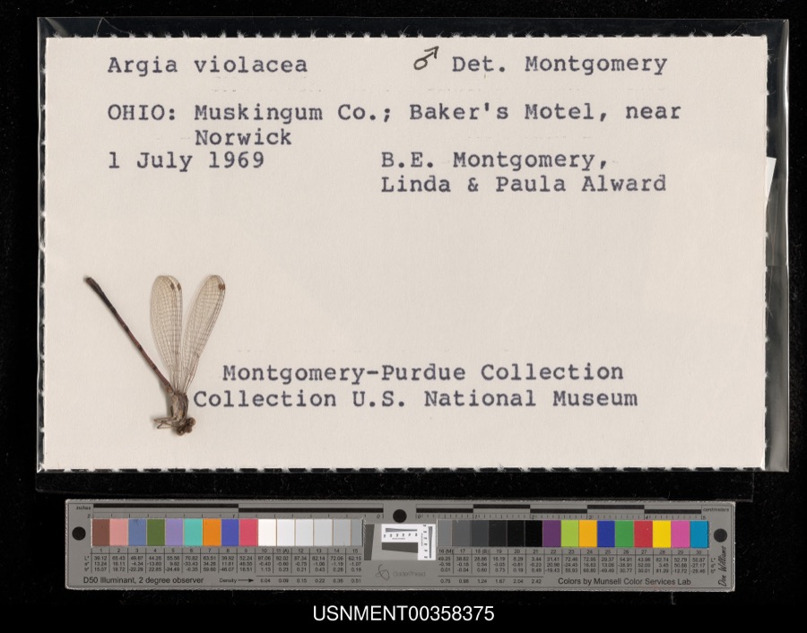
12 of 129 shownRegional context, not property-specific evidence. Museums hold 129 specimens collected within 10 miles of Castine between 1838 and 1969: 126 Animalia, 2 Plantae, 1 Chromista. 12 distinct Species records are shown. Collected by B. Montgomery, L. Alward & P. Alward, Clark, C. F. (Clarence F.), Collector unspecified and others. Each is a physical object with a catalogue number, and each entry opens the museum's record. This is what was collected and kept, not a survey of what lives here - nothing can be concluded from a species being absent.
| Image | Species | Year | Collected by | Where, as recorded |
|---|---|---|---|---|
 | Argia fumipennis violacea (Hagen, 1861) | 1969 | B. Montgomery, L. Alward & P. Alward | Baker's Motel, near Norwick |
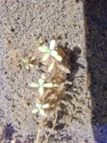 | Callitriche palustris L. | 1838 | Short, C.W. | Lexington, Kentucky. |
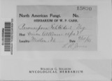 | Peronospora destructor (Berk.) Casp. ex Berk. | 1883 | Collector unspecified | Ithaca |
 | Etheostoma caeruleum Storer, 1845 | 1905 | Clark, C. F. (Clarence F.) | Prairie Outlet, Sec 28 of Neave township, ~0.3 mi NE of Wayne Lakes Park, Neave township |
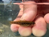 | Etheostoma microperca Jordan & Gilbert, 1888 | 1905 | Clark, C. F. (Clarence F.) | Prairie Outlet, Sec 28 of Neave township, ~0.3 mi NE of Wayne Lakes Park, Neave township |
 | Campostoma anomalum anomalum | 1930 | MB Trautman | Whitewater River, S Harrison Twp |
 | Catostomus commersonnii commersonnii (Lacepède, 1803) | 1930 | MB Trautman | Whitewater River, S Harrison Twp |
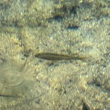 | Chrosomus erythrogaster (Rafinesque, 1820) | 1930 | Trautman, M. B. (Milton Bernard) & Foster, R. (Robert) | East Fork Whitewater River tributary, within Harrison township, near New Madison, Harrison township |
 | Clinostomus elongatus (Kirtland, 1840) | 1930 | MB Trautman | Whitewater River, S Harrison Twp |
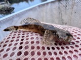 | Cottus bairdii bairdii Girard, 1850 | 1930 | Trautman, M. B. (Milton Bernard) & Foster, R. (Robert) | East Fork Whitewater River tributary, within Harrison township, near New Madison, Harrison township |
 | Etheostoma nigrum Rafinesque, 1820 | 1930 | MB Trautman | Whitewater River, S Harrison Twp |
 | Etheostoma spectabile (Agassiz, 1854) | 1930 | MB Trautman | Whitewater River, S Harrison Twp |
All 129 specimens within 10 miles, at the Global Biodiversity Information Facility.
Storms near this place
6 since 2010Regional context, not property-specific evidence. The National Weather Service names Castine in 6 storm reports between 2010 and 2019: 4 thunderstorm wind, 2 flood. No death or injury is recorded in these reports. Each account below is quoted exactly as the forecast office filed it, from the NOAA Storm Events Database, and each date opens the federal record of that event.
| When | Event | Place named | Harm | What the report says |
|---|---|---|---|---|
| October 2010 | Thunderstorm Wind | Castine | $85,000 | Structural damage occurred to a barn and a house due to damaging thunderstorm winds. Twenty-five power poles were also reported down around the area due to the thunderstorm winds. |
| June 2016 | Thunderstorm Wind | Castine | $20,000 | Damage occurred to farm storage units and slight damage was done to a house. |
| June 2018 | Thunderstorm Wind | Castine | $3,000 | A roof was removed from a barn structure along Otterbein Ithaca Road. |
| July 2011 | Thunderstorm Wind | Castine | $1,000 | Power lines and wires were blown down due to damaging thunderstorm winds. |
| April 2019 | Flood | Castine | - | Ohio Route 772 was closed due to flooding. |
| September 2018 | Flood | Castine | - | High water was reported over Preble County Butler Township Road. |
Nearest settlements
The eight closest, with where each one stands in the county. Distances are straight-line, computed from the Geographic Names Information System coordinates.
| Map | Place | Distance | Sheets |
|---|---|---|---|
| Otterbein | 2.7 miles | 9 | |
| Ithaca | 3.8 miles | 8 | |
| Beechgrove | 4.0 miles | 8 | |
| Savona | 4.4 miles | 9 | |
| Hewitt | 5.0 miles | 9 | |
| New Madison | 5.1 miles | 9 | |
| Yankeetown | 5.2 miles | 9 | |
| Sampson (historical) | 5.2 miles | 12 |
Elsewhere
Matched on this settlement's Geographic Names Information System number rather than its name, so it cannot be a different place of the same name in another state.
| Wikipedia article on Castine | An encyclopaedic summary. Its text is share-alike, so it is linked here rather than copied. |
| Wikidata item Q1892638 | The structured record the population and elevation above come from. Public domain (CC0). |
Provenance
This settlement is recorded in the Geographic Names Information System as feature 1056774. The sheet list is computed by point-in-boundary test against the United States Geological Survey's historical topographic inventory. Both are works of the United States government and carry no copyright under 17 U.S.C. 105.
Specimens. Global Biodiversity Information Facility (GBIF), https://www.gbif.org/. Only records licensed CC0 or CC BY are used. Records licensed CC BY-NC are excluded because this site carries advertising. Images are checked individually and any whose licence is non-commercial, no-derivatives or unreadable is refused.
Storms. NOAA National Centers for Environmental Information, Storm Events Database https://www.ncei.noaa.gov/stormevents/ A work of the United States government, no copyright under 17 U.S.C. 105. Narratives are quoted verbatim from the National Weather Service report and are not edited or summarised.