 Block
Block
Jackson, Ohio
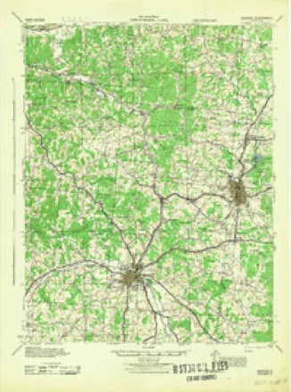
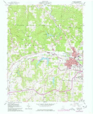
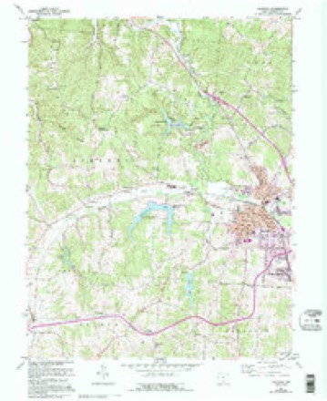
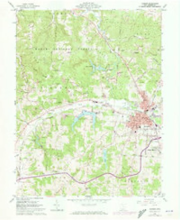
14 topographic sheets cover this place, the earliest surveyed in 1913 and the latest in 1980. It stands in Jackson City. It lies in ZIP code area 45640. It stands on Sugar Run. The Survey maps it on the Jackson quadrangle. 6,252 people lived here at the 2020 count. It stands 692 feet above sea level.
Research this city
This curated hub for Jackson County, Ohio brings together the page's documented record links, visible map or image evidence where published, and routes to related local records.
What is documented here?
Use the page's provenance and linked records to distinguish the source material from the site's navigation and summaries.
How should I cite it?
Open the original record, preserve its repository and identifier, then use the citation tool for this page as a path back to the source.
Where should I go next?
Follow the county or state hub for related places and records, then use the guide for a source-aware research sequence.
Population over time
2 figuresJackson fell from 6,397 to 6,252 between 2010 and 2020. These are the recorded population figures Wikidata holds for this place, reached through the Geographic Names Information System number this page is keyed on rather than by name, so they belong to this place and not to another of the same name. Most are census counts, but not all are: an early figure may be a founding or settlement estimate. The change column is computed, and is left blank where more than 20 years separate a figure from the one before it, because a gap that long is not a change between two counts.
| Year | People | Change |
|---|---|---|
| 2010 | 6,397 | |
| 2020 | 6,252 | -145 (-2%) |
Then and now
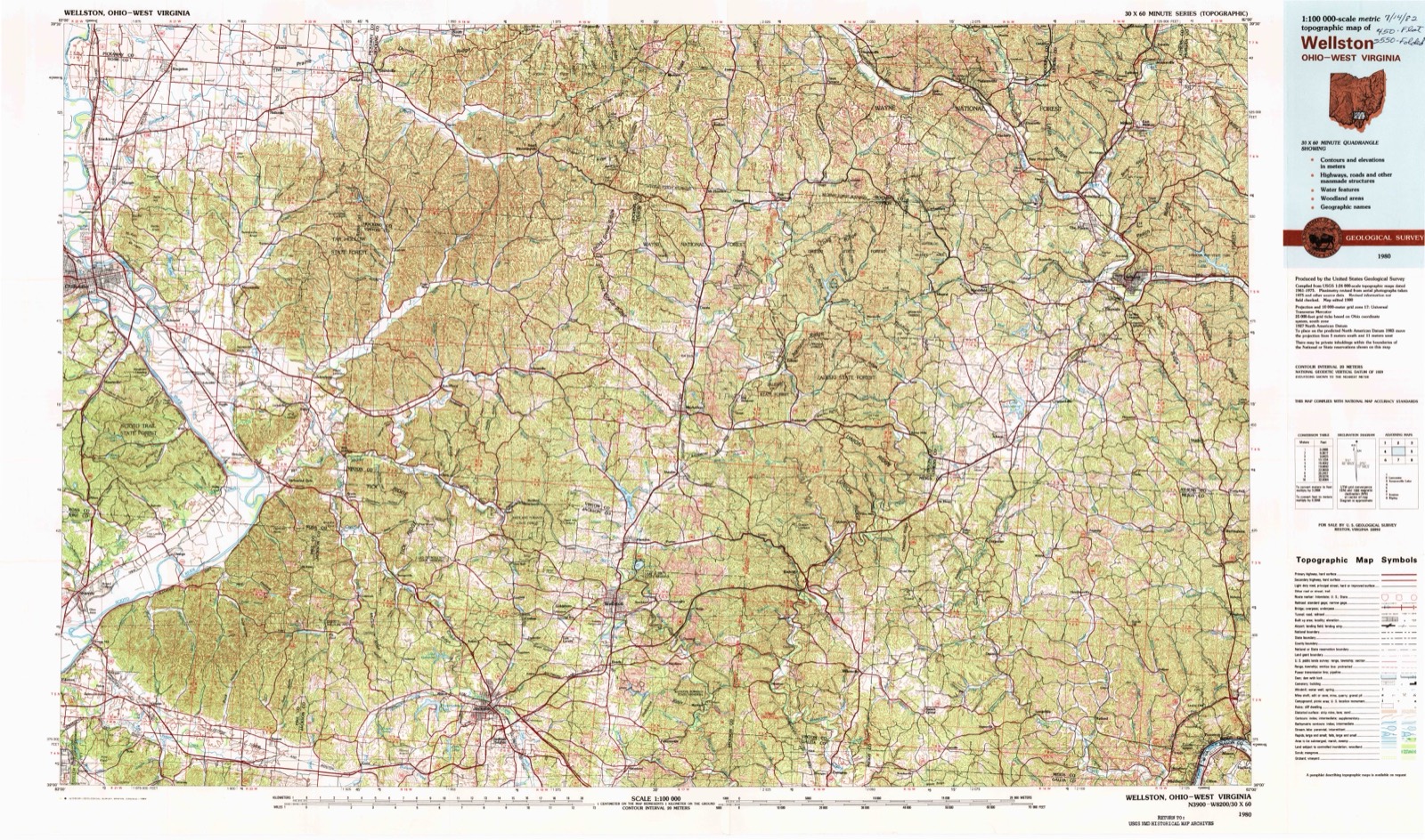
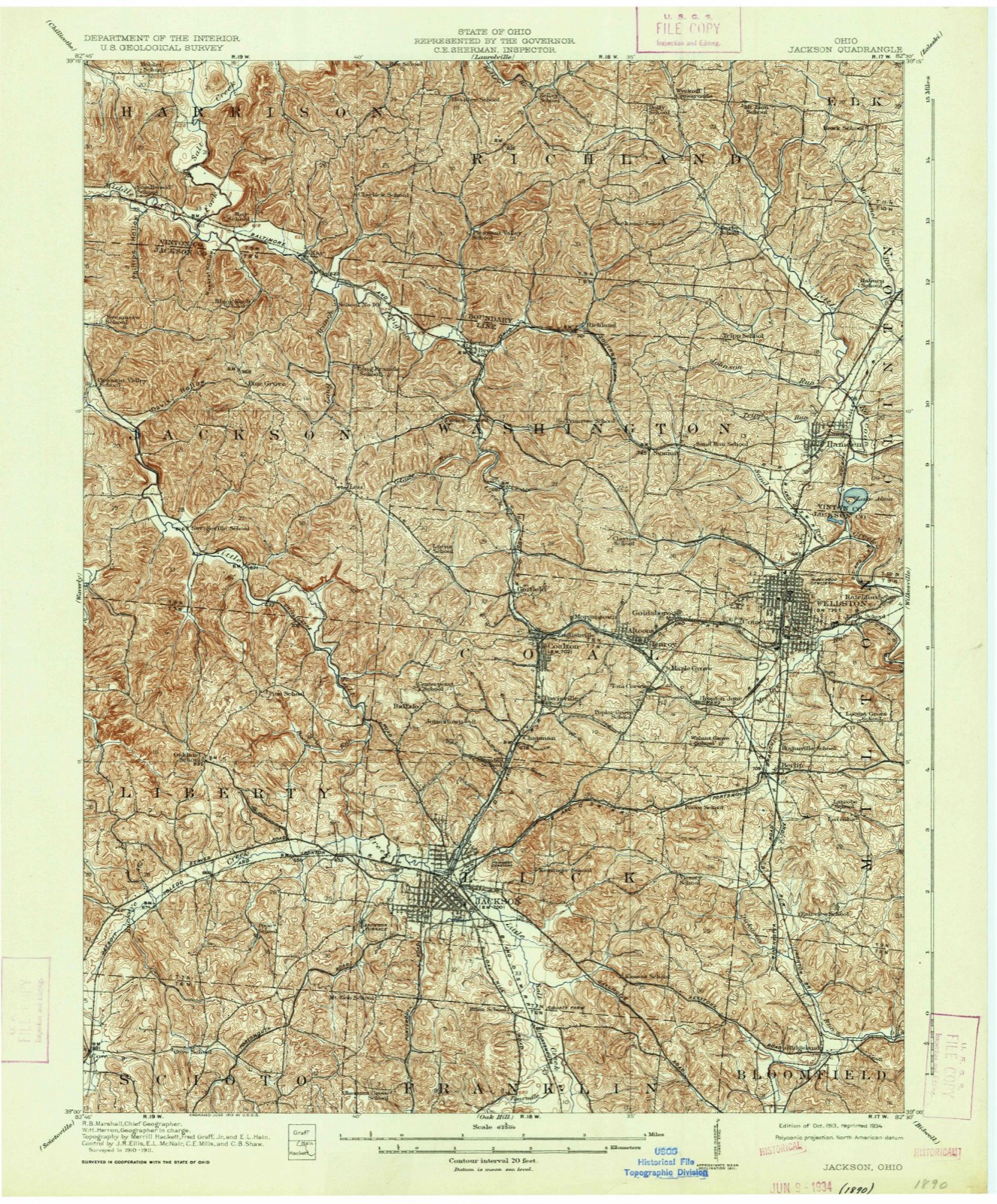
1913 to 1980The same ground, surveyed 67 years apart. Drag the handle to wipe between them. Both sheets are United States Geological Survey originals; neither has been altered.
Topographic sheets covering this place
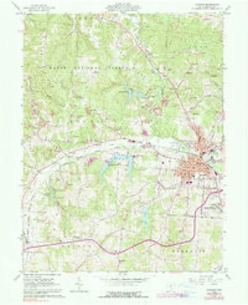
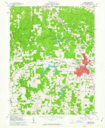
14 sheetsMatched by testing this settlement's coordinate against the published boundary of every sheet in the United States Geological Survey's historical collection. Each opens the scanned sheet at the Survey.
- 1913 USGS Jackson quadrangle1:62500
- 1913 USGS Jackson quadrangle1:62500
- 1944 USGS Jackson quadrangle1:62500
- 1947 USGS Columbus quadrangle1:250000
- 1961 USGS Columbus quadrangle1:250000
- 1961 USGS Jackson quadrangle1:24000
- 1961 USGS Jackson quadrangle1:24000
- 1961 USGS Jackson quadrangle1:24000
- 1961 USGS Jackson quadrangle1:24000
- 1961 USGS Jackson quadrangle1:24000
- 1962 USGS Columbus quadrangle1:250000
- 1967 USGS Columbus quadrangle1:250000
- 1967 USGS Columbus quadrangle1:250000
- 1980 USGS Wellston quadrangle1:100000





Photographs
8 photographs, 1936Taken for the Office of War Information and the Farm Security Administration, who photographed the country between 1935 and 1944. Works of United States government photographers, with no known restriction on use. Each opens its catalogue record.

Jung, Theodor, 1936. Library of Congress
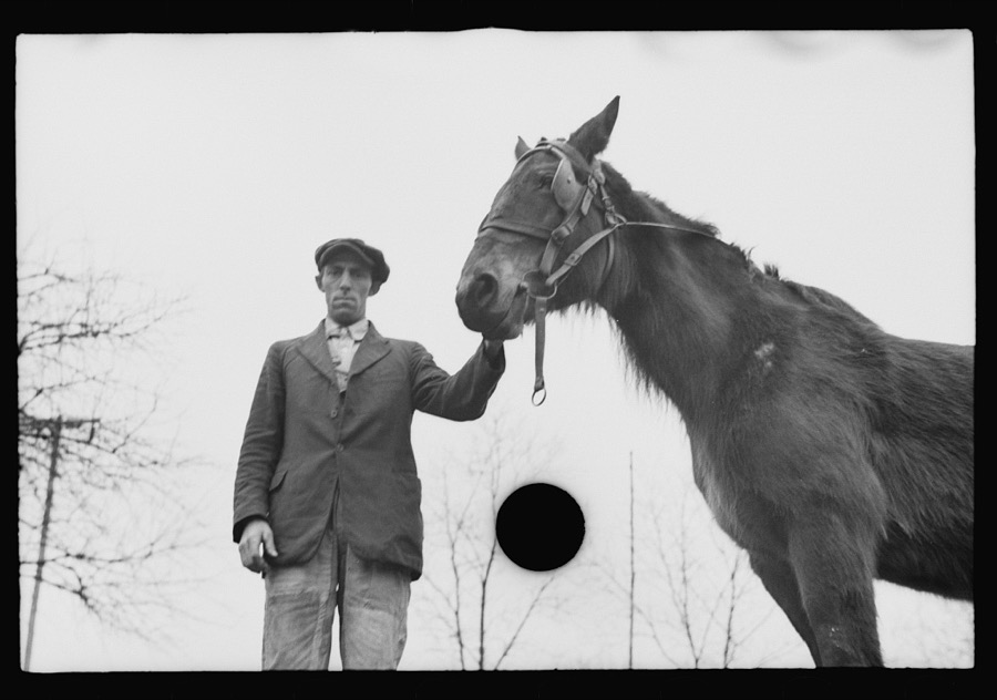
Jung, Theodor, 1936. Library of Congress
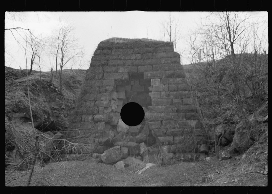
Jung, Theodor, 1936. Library of Congress
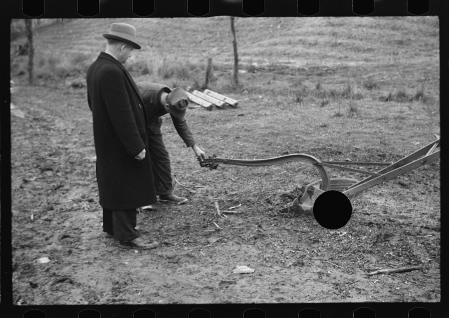
Jung, Theodor, 1936. Library of Congress
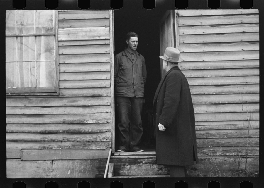
Jung, Theodor, 1936. Library of Congress
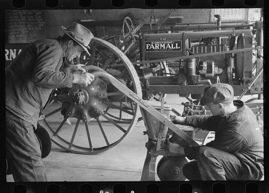
Jung, Theodor, 1936. Library of Congress
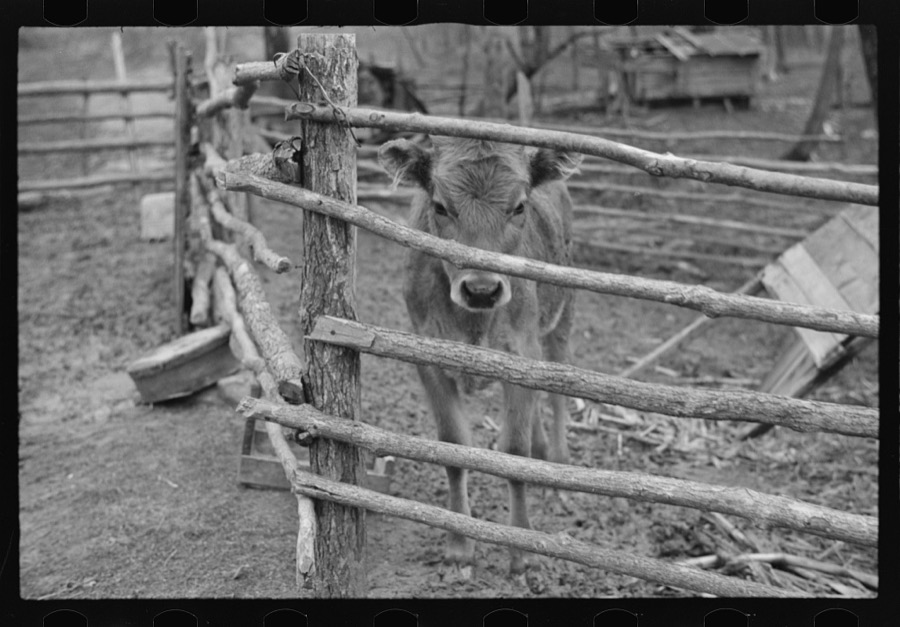
Jung, Theodor, 1936. Library of Congress

Jung, Theodor, 1936. Library of Congress
Fires nearby
26 since 2006The federal wildfire occurrence database lists 26 fires within 5 miles of Jackson between 2006 and 2019, burning about 45 acres in total. None started naturally. 1 was recorded as arson. Distance is straight-line from the map coordinates, so a fire counted here may appear on a neighbouring settlement's page as well.
| Reported cause | Fires |
|---|---|
| Debris and open burning | 15 |
| Missing data/not specified/undetermined | 8 |
| Arson/incendiarism | 1 |
| Smoking | 1 |
| Misuse of fire by a minor | 1 |
The most recent of them, most recent first, with the day each was reported and the service that recorded it.
| Date | Cause | Size | Reported by | Name on the report |
|---|---|---|---|---|
| 14 September 2007 | Missing data/not specified/undetermined | 1.2 acres | Ohio Department of Natural Resources | not named |
| 27 June 2012 | Missing data/not specified/undetermined | 5.0 acres | Ohio Department of Natural Resources | not named |
| 6 May 2008 | Debris and open burning | 2.0 acres | Ohio Department of Natural Resources | not named |
| 7 April 2012 | Debris and open burning | 3.0 acres | Ohio Department of Natural Resources | not named |
| 13 April 2012 | Missing data/not specified/undetermined | under an acre | Ohio Department of Natural Resources | not named |
| 11 April 2010 | Debris and open burning | under an acre | Ohio Department of Natural Resources | not named |
| 10 April 2013 | Missing data/not specified/undetermined | 1.0 acres | Ohio Department of Natural Resources | not named |
| 1 April 2015 | Misuse of fire by a minor | 3.0 acres | Ohio Department of Natural Resources | 658 |
Settlements close enough to share some of these fires:
Specimens collected nearby
12 of 1,406 shownMuseums hold 1,406 specimens collected within 10 miles of Jackson between 1878 and 1975: 645 Animalia, 594 Plantae, 161 Fungi, 3 Protozoa, 3 Unrecorded. 12 distinct Species records are shown. Collected by 'Odell, D., A. Cronquist, A. M. Evans and others. Each is a physical object with a catalogue number, and each entry opens the museum's record. This is what was collected and kept, not a survey of what lives here - nothing can be concluded from a species being absent.
| Image | Species | Year | Collected by | Where, as recorded |
|---|---|---|---|---|
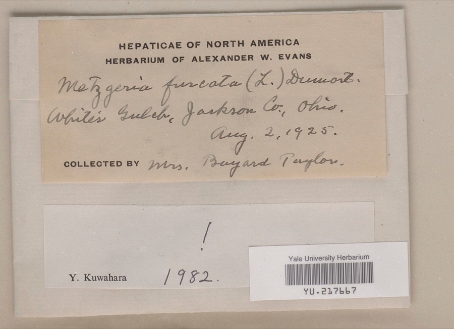 | Metzgeria furcata (L.) Corda | 1925 | Mrs. Bayard R. Taylor | White's Gulch |
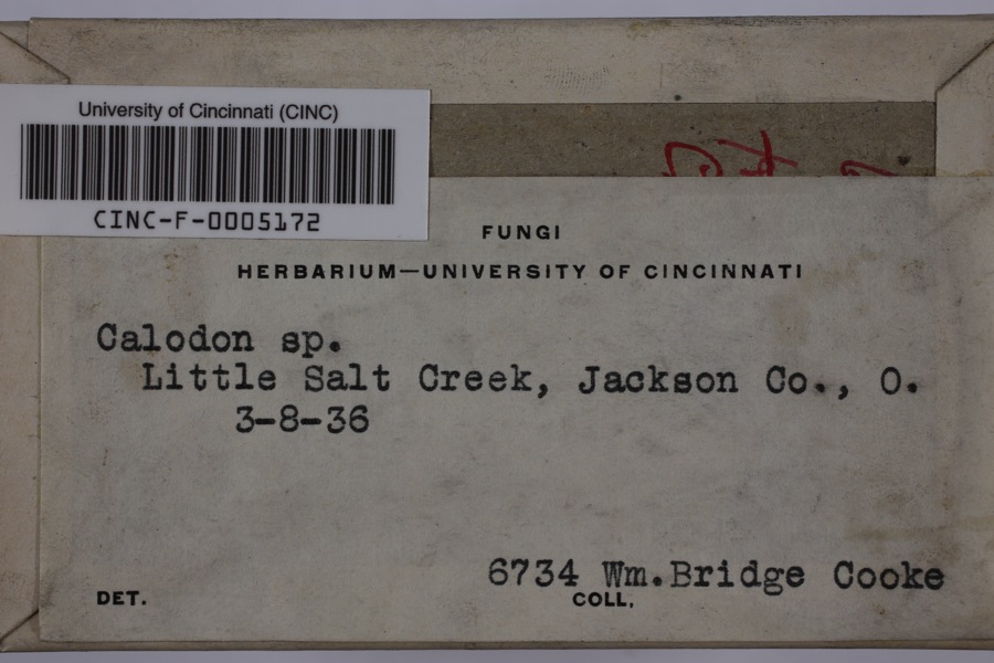 | Calodon | 1936 | Cooke, William Bridge | Little Salt Creek |
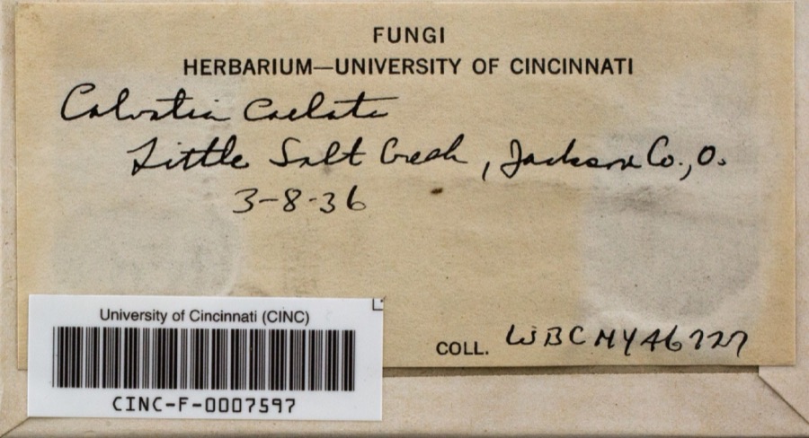 | Calvatia caelata (Bull.) Morgan | 1936 | Cooke, William Bridge | Little Salt Creek |
 | Houstonia caerulea L. | 1878 | Guttenberg, G. | Hamden |
 | Krigia biflora (Walter) S.F.Blake | 1878 | Guttenberg, G. | Hamden |
 | Luzula multiflora (Ehrh.) Lej. | 1878 | None | Hamden |
 | Plantago lanceolata L. | 1878 | Guttenberg, G. | Hamden |
 | Ardea herodias herodias Linnaeus, 1758 | 1899 | Henninger, W. F. (Walther Frederick) | near South Webster, Jackson, Ohio, USA |
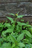 | Rorippa Scop. | 1905 | F. Bartley | 3 mi south of Jackson |
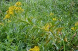 | Coleosporium solidaginis (Schwein.) Thüm. | 1915 | Hedgcock G. G. | Jackson |
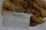 | Trametes robiniophila Murrill | 1916 | MCCLEDROTLE G. A.? | Coalton |
 | Eriophyes laevis (Nalepa, 1889) | 1923 | Miller, A. E. (August E.) | Jackson Co., OH, U.S.A. |
All 1,406 specimens within 10 miles, at the Global Biodiversity Information Facility.
Mines and quarries nearby
4 within 5 milesThe federal mineral resources record lists 4 workings within 5 miles of Jackson: 2 past producers, 1 unknown, 1 producer. 1 still produces. What was taken out: Fire Clay (Refractory), Chromium, Stone, Crushed/Broken. Distance is straight-line from the map coordinates, so a quarry counted here may appear on a neighbouring settlement's page as well.
| Where | Site | Commodity | Status | Recorded |
|---|---|---|---|---|
| Davis Refractories/ Jackson, Ohio | Chromium | Unknown | ||
| Jackson County Hwy Dept. | Stone, Crushed/Broken | Producer | ||
| Cambria Clay Brick Plant #5 | Fire Clay (Refractory) | Past Producer | ||
| Durex Mill | Fire Clay (Refractory) | Past Producer |
Storms nearby
60 of 87 shownThe National Weather Service names Jackson in 87 storm reports between 1993 and 2025: 44 thunderstorm wind, 25 hail, 7 flash flood, 7 flood. No death or injury is recorded in these reports. Each account below is quoted exactly as the forecast office filed it, from the NOAA Storm Events Database, and each date opens the federal record of that event.
| When | Event | Place named | Harm | What the report says |
|---|---|---|---|---|
| June 2012 | Thunderstorm Wind | Jackson | $1,500,000 | Scattered locations throughout the county had large trees and branches blown down. Around 8,000 customers lost electric power. Even a nursing home facility did not have power restored until 4 days after the storm.||Damage assessment across the county included 2 homes destroyed and 2 with major damage. The public infrastructure damage assessment was around $600.000. |
| May 2001 | Flash Flood | Jackson | $200,000 | The sheriff reported 20 roads flooded by small streams. A 300 acre freshwater impoundment near Oak Hill spilled over the dam, taking some rocks with it. Water came through the emergency spillway as it was designed. About 160 tons of limestone was trucked in, to reinforce the 15 foot dam. A state official said, "it was a catastrophic rainfall." |
| May 1998 | Thunderstorm Wind | Jackson | $200,000 | no account filed |
| July 2000 | Thunderstorm Wind | Jackson | $100,000 | Trees were knocked down along Beaver Pike and around Hammertown Lake. Furniture blew through one window of a house. At least one house sustained roof damage. |
| July 2000 | Hail | Jackson | $50,000 | The sheriff's department and the public both reported large hail that damaged a few vehicles. |
| February 1993 | Thunderstorm Wind | Jackson | $50,000 | Trees were blown across power lines, onto the roof of homes and across one car. The windows were blown out of several homes. |
| May 1998 | Hail | Jackson | $50,000 | no account filed |
| May 2024 | Tornado (EF1) | Jackson | $30,000 | A tornado touched down near Mount Zion Road where some minor tree damage occurred and swirl patterns were found in a hay field. The tornado tracked northeastward across State Route 139 where tree damage occurred and an outbuilding was damaged. It continued to skip along causing intermittent tree damage in neighborhoods north of State Route 32. The tornado knocked a tree down onto a vehicle at Hope Haven School then snapped or uprooted several trees, some onto vehicles, behind Rowdy's Smokehouse. This is where the tornado reached maximum EF1 intensity with winds estimated up to 90 miles per hour. ||The tornado then crossed Main Street, ripped a portion of the roof of of the Tractor Supply building, flipped over a parked semi trailer in the parking lot and then caused roof damage to buildings in the Senior Village. Some minor tree damage was then noted to the east of US-35 along Pattonsville Road where the tornado path ended.||This was the 8th known tornado in Jackson County and the 2nd so far this year. |
| May 2024 | Thunderstorm Wind | Jackson | $25,000 | Multiple trees were blown down in the town of Jackson, some of which fell onto vehicles. Structural damage to commercial and residential buildings were observed, including roof damage in the southern part of the city along and near Route 93, just north of Route 124. |
| May 1998 | Hail | Jackson | $25,000 | no account filed |
| May 2024 | Thunderstorm Wind | Jackson | $20,000 | Numerous areas of damage were observed along Route 124 in the vicinity of a hospital south of the town of Jackson. The damage included numerous downed trees and power lines, sections of roofs peeled off, and semi-trucks that were flipped over. |
| May 2011 | Hail | Jackson | $20,000 | no account filed |
| May 2006 | Heavy Rain | Jackson | $15,000 | Localized rains of 2 to 3 inches likely fell in about 2 hours from a small cluster of training thunderstorms. Street flooding occurred from full culverts and drainage pipes. Water damaged carpet at the middle school. |
| July 2000 | Flash Flood | Jackson | $15,000 | Rains of 2 to 3 inches in less than 3 hours caused basement flooding in the town of Jackson and caused streams to block roads in Madison Township. |
| July 2015 | Flash Flood | Jackson | $10,000 | Streams overflowed onto roads. In addition, urban street flooding occurred. |
| April 2014 | Flood | Jackson | $10,000 | Several roads were closed by stream flooding, mostly in the eastern part of the county. A few examples were Keystone Furnace Road, Antioch Road, Moriah Road, and Cherry Fork Road. No structures were flooded. |
| February 2011 | Thunderstorm Wind | Jackson | $10,000 | Trees were blown down. Some power lines were also knocked down by the falling trees. |
| August 2010 | Flash Flood | Jackson | $10,000 | Small streams overflowed and blocked roads from the city of Jackson on into rural areas north and east of town. |
| April 1996 | Thunderstorm Wind | Jackson | $10,000 | no account filed |
| June 2015 | Thunderstorm Wind | Jackson | $5,000 | Trees were blown down along Route 32. |
| June 2011 | Thunderstorm Wind | Jackson | $5,000 | Several trees were blown down in town. |
| April 2011 | Flood | Jackson | $5,000 | Streams overflowed and blocked roads. No homes were flooded. |
| June 2010 | Thunderstorm Wind | Jackson | $5,000 | Trees were blown down. |
| July 2000 | Thunderstorm Wind | Jackson | $5,000 | Several trees and large branches were down in the Limerick to Oakland region. |
| August 1993 | Thunderstorm Wind | Jackson | $5,000 | Trees downed, some on power lines and across roads. |
| June 1998 | Thunderstorm Wind | Jackson | $5,000 | no account filed |
| August 1997 | Thunderstorm Wind | Jackson | $5,000 | no account filed |
| August 2019 | Thunderstorm Wind | Jackson | $4,000 | Numerous trees and power lines were blown down along Rock Run Road near the town of Buffalo. |
| April 2025 | Thunderstorm Wind | Jackson | $3,000 | Downed trees and power lines were observed along Jisco West Road, State Route 39, and Petersburg Road. |
| April 2025 | Flood | Jackson | $3,000 | Salt Lick Creek rose out of its banks and started to enter homes. |
| June 2020 | Thunderstorm Wind | Jackson | $3,000 | Several trees were downed across the city of Jackson. |
| May 1997 | Thunderstorm Wind | Jackson | $3,000 | no account filed |
| June 1996 | Thunderstorm Wind | Jackson | $3,000 | no account filed |
| August 2021 | Thunderstorm Wind | Jackson | $2,000 | One tree was blown down near the intersection of Smith Bridge Road and Chillicothe Park. A nearby home weather station measured a wind gust of 80 mph. |
| February 2019 | Flood | Jackson | $2,000 | Several of the low spots along State Route 788 between Jackson and Wellston flooded, closing that stretch of highway. |
| April 2017 | Thunderstorm Wind | Jackson | $2,000 | Multiple trees were knocked down as a thunderstorm moved through. |
| November 2013 | Thunderstorm Wind | Jackson | $2,000 | A few trees were blown down around the town. |
| May 2001 | Thunderstorm Wind | Jackson | $2,000 | Large tree branches were knocked down. |
| June 2001 | Thunderstorm Wind | Jackson | $2,000 | Several trees and large branches fell. |
| October 2001 | Thunderstorm Wind | Jackson | $2,000 | A few large trees were blown down, resulting in some power outages. |
| September 2000 | Thunderstorm Wind | Jackson | $2,000 | Large trees and branches were knocked down. |
| July 2005 | Thunderstorm Wind | Jackson | $2,000 | no account filed |
| May 2004 | Flash Flood | Jackson | $2,000 | no account filed |
| July 1997 | Thunderstorm Wind | Jackson | $2,000 | no account filed |
| June 1996 | Thunderstorm Wind | Jackson | $2,000 | no account filed |
| June 2019 | Thunderstorm Wind | Jackson | $1,500 | Trees and power lines fell down in Jackson. |
| June 2020 | Thunderstorm Wind | Jackson | $1,000 | In the town of Jackson, small branches and a power pole were downed. |
| July 2018 | Flash Flood | Jackson | $1,000 | Following a couple inches of rainfall in around an hour, high water covered some roads in Jackson County. This included Main Street in Jackson and several roads in Wellston. |
| May 2012 | Thunderstorm Wind | Jackson | $1,000 | Large branches were blown down. |
| June 2008 | Thunderstorm Wind | Jackson | $1,000 | Large branches were blown down and siding was torn off a house. |
| July 2002 | Thunderstorm Wind | Jackson | $1,000 | Several large tree branches were blown down. |
| August 2000 | Thunderstorm Wind | Jackson | $1,000 | Trees and large branches fell across roads in the vicinity of Bronx Corner. |
| June 2021 | Thunderstorm Wind | Jackson | $500 | Branches up to 2.75 inches in diameter were broken from multiple trees near the town of Jackson. |
| August 2020 | Thunderstorm Wind | Jackson | $500 | A tree was blown down along State Route 139 in Jackson. |
| September 2018 | Flood | Jackson | $500 | Four Mile Creek flooded, closing a section of Four Mile Road. |
| June 2025 | Flash Flood | Jackson | - | Athens Street was closed due to high water in the town of Jackson. |
| July 2025 | Flood | Jackson | - | Huron Street was closed due to flooding from Harris Street to Burlington Road. |
| April 2024 | Flood | Jackson | - | State Route 788 was closed from flooding between Owen Street and Fairgreens Road. |
| May 2020 | Hail | Jackson | - | Quarter size hail happening at time of call, some stones possibly larger. |
| July 2015 | Thunderstorm Wind | Jackson | - | Trees were blown down. |
Nearest settlements
The eight closest, with where each one stands in the county. Distances are straight-line, computed from the Geographic Names Information System coordinates.
| Map | Place | Distance | Sheets |
|---|---|---|---|
| Jackson Heights | 1.5 miles | 14 | |
| Sharon | 2.0 miles | 14 | |
| Petrea | 2.4 miles | 14 | |
| Chapman | 2.7 miles | 14 | |
| Jonestown | 3.0 miles | 14 | |
| Buffalo | 3.1 miles | 14 | |
| Davisville | 3.4 miles | 14 | |
| Coalton | 4.5 miles | 14 |
Elsewhere
Matched on this settlement's Geographic Names Information System number rather than its name, so it cannot be a different place of the same name in another state.
| Wikipedia article on Jackson | An encyclopaedic summary. Its text is share-alike, so it is linked here rather than copied. |
| Wikidata item Q1903275 | The structured record the population and elevation above come from. Public domain (CC0). |
Provenance
This settlement is recorded in the Geographic Names Information System as feature 1061427. The sheet list is computed by point-in-boundary test against the United States Geological Survey's historical topographic inventory. Both are works of the United States government and carry no copyright under 17 U.S.C. 105.
Wildfire. Short, Karen C. 2022. Spatial wildfire occurrence data for the United States, 1992-2020 [FPA_FOD_20221014]. 6th Edition. Fort Collins, CO: Forest Service Research Data Archive. https://doi.org/10.2737/RDS-2013-0009.6 Collected with United States Government funding and usable without additional permissions or fees.
Specimens. Global Biodiversity Information Facility (GBIF), https://www.gbif.org/. Only records licensed CC0 or CC BY are used. Records licensed CC BY-NC are excluded because this site carries advertising. Images are checked individually and any whose licence is non-commercial, no-derivatives or unreadable is refused.
Mines and quarries. USGS Mineral Resources Data System (MRDS) https://mrdata.usgs.gov/mrds/ A work of the United States government, no copyright under 17 U.S.C. 105.
Storms. NOAA National Centers for Environmental Information, Storm Events Database https://www.ncei.noaa.gov/stormevents/ A work of the United States government, no copyright under 17 U.S.C. 105. Narratives are quoted verbatim from the National Weather Service report and are not edited or summarised.