 Block
Block
Jeffersonville, Ohio
12 topographic sheets cover this place, the earliest surveyed in 1916 and the latest in 1986. It stands in Jefferson Township. It lies in ZIP code area 43128. The Survey maps it on the Jeffersonville quadrangle. 1,258 people lived here at the 2020 count. It stands 1,050 feet above sea level.
Research this city
This curated hub for Fayette County, Ohio brings together the page's documented record links, visible map or image evidence where published, and routes to related local records.
What is documented here?
Use the page's provenance and linked records to distinguish the source material from the site's navigation and summaries.
How should I cite it?
Open the original record, preserve its repository and identifier, then use the citation tool for this page as a path back to the source.
Where should I go next?
Follow the county or state hub for related places and records, then use the guide for a source-aware research sequence.
Population over time
2 figuresJeffersonville grew from 1,203 to 1,258 between 2010 and 2020. These are the recorded population figures Wikidata holds for this place, reached through the Geographic Names Information System number this page is keyed on rather than by name, so they belong to this place and not to another of the same name. Most are census counts, but not all are: an early figure may be a founding or settlement estimate. The change column is computed, and is left blank where more than 20 years separate a figure from the one before it, because a gap that long is not a change between two counts.
| Year | People | Change |
|---|---|---|
| 2010 | 1,203 | |
| 2020 | 1,258 | +55 (+5%) |
Then and now
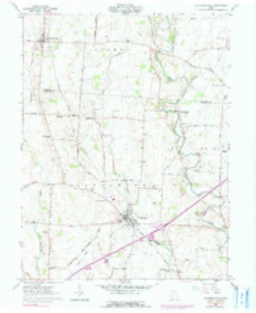
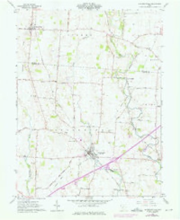
1916 to 1986The same ground, surveyed 70 years apart. Drag the handle to wipe between them. Both sheets are United States Geological Survey originals; neither has been altered.

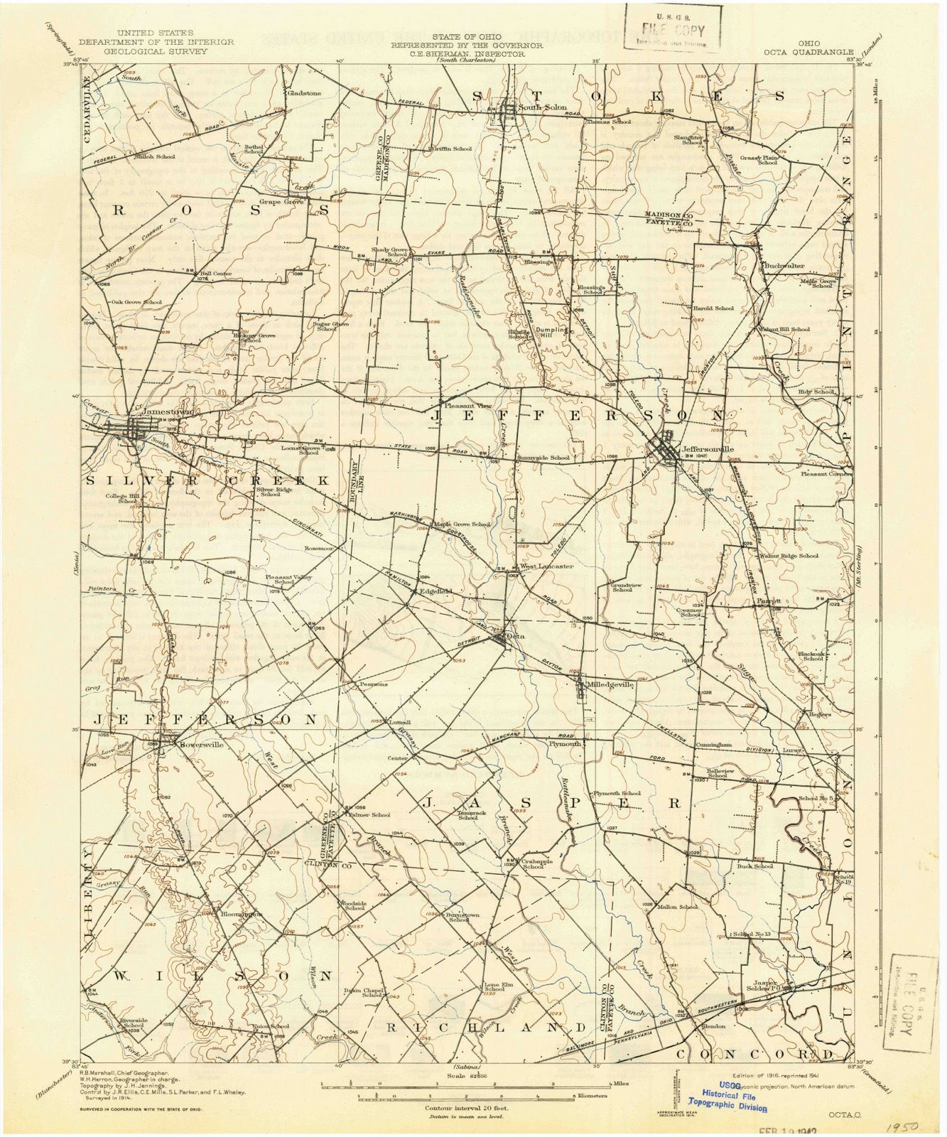
Topographic sheets covering this place
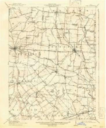
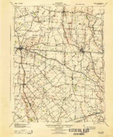
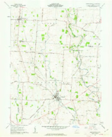
12 sheetsMatched by testing this settlement's coordinate against the published boundary of every sheet in the United States Geological Survey's historical collection. Each opens the scanned sheet at the Survey.
- 1916 USGS Octa quadrangle1:62500
- 1944 USGS Octa quadrangle1:62500
- 1947 USGS Columbus quadrangle1:250000
- 1961 USGS Columbus quadrangle1:250000
- 1961 USGS Jeffersonville quadrangle1:24000
- 1961 USGS Jeffersonville quadrangle1:24000
- 1961 USGS Jeffersonville quadrangle1:24000
- 1962 USGS Columbus quadrangle1:250000
- 1967 USGS Columbus quadrangle1:250000
- 1967 USGS Columbus quadrangle1:250000
- 1986 USGS Springfield quadrangle1:100000
- 1986 USGS Springfield quadrangle1:100000







What happened here
An account from the chapter on Jefferson township, The inset identifies its exact source book and publication year.
Preface
The Author has spent several months in constant travel and search, and taken unwearied pains, in collecting the names and records of the illustrious Pioneers, who made their homes first in Fayettte County. It has involved considerable time, expense, labor and difficulties. Visiting all the most noted places, mounds, camps, cliffs, etc., in the county, he has endeavored to portray the toils, hardships and privations of a pioneer life, when nothing but dense forests, inhabited only by Indians and wild beasts ; when the only habitation was the rude log cabin ; when the scream of the panther, the howl of the wolf, the hum of wild bees, and the war song of the savages constituted the music of the wilderness.
In the county-history sources
73,361 words on this townshipPioneer Record and Reminiscences of the Early Settlers and Settlement of Fayette County, Ohio, published 1872 names this settlement in its chapter on Jefferson Township. These are the passages that mention it, exactly as the scans read.
Fayette was formed in March, 1810, from Koss and Highlaud, and named from the Marquis de La Fayette. The surface is generally level. About half the soil is a dark, vegetable loam, on a clayey sub-soil, mixed with a limestone gravel ; the rest is a yellow, clayey loam. The principal productions are wheat, corn, cattle, hogs, sheep and wool. In the Northeastern part is a small tract called "the barrens," so termed from the land being divested of undergrowth and tall timber. It *is covered with a grass well adapted to pasturage. The growth of the County in former years, was retarded by much of the land being owned by non-residents, and not in market, and also from the wet lands, which, contrary to the original opinion, have, when drained, proved very productive. The population in 1810, was about 3,000; in 1820, 6,336; in 1830, 8,183 ; in 1840, 10,979 ; and in 1870, .
Passage source: Pioneer Record and Reminiscences of the Early Settlers and Settlement of Fayette County, Ohio, published 1872.
Among the families of great notoriety were the Funks. The men, from old Adam down to Absalom, were of uncommonly large size, and distinguished for their boldness, activity and fighting propensities. Jake Funk, the most notorious, having been arrested in Kentucky, for passing counterfeit money, or some other crime, was bailed by a friend, a Kentuckian by the name of Trumbo. Having failed to appear at Court, Trumbo, with about a dozen of his friends, well armed, proceeded to the house of the Funks, for the purpose of taking Jake, running him to Kentucky, and delivering him up to the proper authorities, to free himself from paying bail. The Funks, hearing of this contemplated attack, prepared themselves for the battle. Old Adam, the father, took his seat in the middle of the floor to give commands to his sons, who were armed with pistols, knives, etc. When Trumbo and his men appeared, they were warned to desist, instead of which, they made a rush at Jake, who was on the porch. A Mr. Wilson, of the attacking party, grappled with Jake, at which the firing commenced on both sides ; Wilson was shot dead. Ab. Funk was shot down. Trumbo , having clinched Jake, the latter drew him to the door, and was about to cut his throat with a large knife, when old Adam cried out "Spare him ; don't kill him, his father once saved me from being killed by the Indians," at which he was let off after being severely wounded, and his companions were glad to 'escape with their lives. The old house, says Robinson, is yet standing, on the East Fork, now Paint Township, showing bullet holes in the logs, as a memento of the bloody battle and tragedy. We now name the old block house, Funk's Fort. The Funk family were no enemies to whisky. Old Adam, with some of his comrades, being one day at Roebuck's grocery, the first opened in the County - about a mile below Funk's house - became merry by drinking. Old Adam, wishing to carry a gallon home, in vain endeavored to procure even a washtub for the purpose. Observing one of Roebuck's pigs roaming about the yard, he purchased it for a dolhir, and skiuuod it whole, taking!; out the bone about two inches from the root of the tail, which served as a neck for the bottle. Tying up the other holes, that would of necessity be in the skin, he poured in the liquor, and started for home with his company, where they all got drunk from the contents of the hog skin.
Passage source: Pioneer Record and Reminiscences of the Early Settlers and Settlement of Fayette County, Ohio, published 1872.
Ananias Allen, Madison Allen, James Allen, Joseph Allen, Jesse Allen, Benjamin Allen, and Ebeu Allen. Tliey live on Allen Run, sometimes called Big Run. They are men of large hearts, business qualifications, large farmers and stock dealers and useful citizens. Gen. Ethan Allen, of Revolutionary fame, and all the Aliens in America, are descended from Major Benjamin Allen, who fell in General Braddock's defeat, near Fort Pitt, in 1755.
Passage source: Pioneer Record and Reminiscences of the Early Settlers and Settlement of Fayette County, Ohio, published 1872.
Machine-read from a century-old scan, so expect the errors a machine makes: misspelled names, dropped words, stray characters.
Read the whole chapter on Jefferson Township - it names this place 21 more 21 times.
Specimens collected near this place
12 of 78 shownRegional context, not property-specific evidence. Museums hold 78 specimens collected within 10 miles of Jeffersonville between 1882 and 1974: 67 Animalia, 6 Fungi, 5 Plantae. 12 distinct Species records are shown. Collected by Bowles, P. (Pearl), Brubaker, J. A. & Higgins, Brubaker, J. A. & Link, B. and others. Each is a physical object with a catalogue number, and each entry opens the museum's record. This is what was collected and kept, not a survey of what lives here - nothing can be concluded from a species being absent.
| Image | Species | Year | Collected by | Where, as recorded |
|---|---|---|---|---|
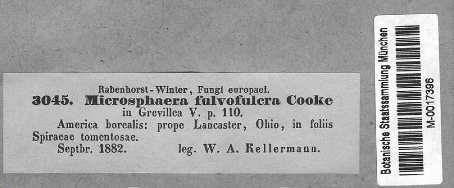 | Podosphaera clandestina var. clandestina (Wallr.) Lév. | 1882 | Kellerman, W.A. | America borealis: prope Lancaster, Ohio, in foliis Spiraeae tomentosae. |
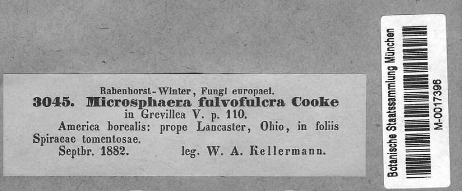 | Spiraea tomentosa L. | 1882 | Kellerman, W.A. | America borealis: prope Lancaster, Ohio, in foliis Spiraeae tomentosae. |
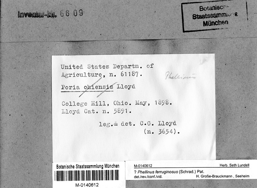 | Phellinus ferruginosus (Schrad.) Pat. | 1898 | Lloyd, C.G. | College Hill, Ohio |
 | Accipiter cooperii (Bonaparte, 1828) | 1907 | Hegler, A. (Almer) | Fairview, Fayette, Ohio, USA |
 | Buteo jamaicensis borealis (Gmelin, 1788) | 1907 | Hegler, A. (Almer) | Fairview Sta., Fayette, Ohio, USA |
_2.jpg) | Buteo lagopus sanctijohannis (Gmelin, 1788) | 1907 | Hegler, A. (Almer) | Fairview Sta., Fayette, Ohio, USA |
 | Falco rusticolus obsoletus (J.F.Gmelin, 1788) | 1907 | Hegler, A. (Almer) | Washington C.H., Fayette, Ohio, USA |
| Tiphiidae | 1925 | Pallister, J. C. (John C.) | Madison, Fayette Co., Ohio, USA | |
 | Opsopoeodus emiliae Hay, 1881 | 1926 | Wickliff, E. L. (Edward L.) | Sugar Creek, near NE corner of Clinton County OH locality is approximate based off Fishes of Ohio distribution map |
 | Rana clamitans Latreille, 1801 | 1929 | Walker, C. F. (Charles F.) & Trautman, M. B. (Milton Bernard) | SW Wayne Twp., Fayette Co., Ohio |
 | Acris crepitans Baird, 1854 | 1930 | Walker, C. F. (Charles F.) & Trautman, M. B. (Milton Bernard) | SW Wayne Twp., Fayette Co., Ohio |
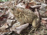 | Bufo americanus Holbrook, 1836 | 1930 | Walker, C. F. (Charles F.) | SW Wayne Twp., Fayette Co., Ohio |
All 78 specimens within 10 miles, at the Global Biodiversity Information Facility.
Storms near this place
40 since 1996Regional context, not property-specific evidence. The National Weather Service names Jeffersonville in 40 storm reports between 1996 and 2025: 26 thunderstorm wind, 10 hail, 3 flood, 1 tornado. The reports record 1 injury. Each account below is quoted exactly as the forecast office filed it, from the NOAA Storm Events Database, and each date opens the federal record of that event.
| When | Event | Place named | Harm | What the report says |
|---|---|---|---|---|
| July 2014 | Thunderstorm Wind | Jeffersonville | 1 hurt, $20,000 | A camper was rolled over and heavily damaged due to thunderstorm winds, injuring a man inside the camper. A semi-trailer truck was blown over on Interstate 71 near the intersection of SR 41. Numerous trees were also downed in the area. |
| March 2025 | Tornado (EF1) | Jeffersonville | $250,000 | The tornado appears to have first formed along State Route 734 to the east of West Lancaster Road NW, where minor tree damage was noted. The tornado strengthened to low end EF1 as it crossed Jeffersonville-West Lancaster Road. One outbuilding was destroyed while two other buildings experienced significant removal of roof covering. Several hardwood trees were also snapped. Debris was observed in a field for over 1/2 mile east of Jeffersonville-West Lancaster Road. ||Damage to numerous power poles was noted near the Jefferson Industrial Park and nearby metal roof panels of a service station were removed. Some of the last damage was noted in Jefferson Crossing, where numerous RVs were flipped at a RV business. The tornado dissipated shortly after crossing I-71. |
| May 2022 | Thunderstorm Wind | Jeffersonville | $50,000 | Around 10 travel campers were overturned at an RV lot. |
| March 2025 | Thunderstorm Wind | Jeffersonville | $30,000 | A barn was collapsed. |
| April 2011 | Thunderstorm Wind | Jeffersonville | $20,000 | Silos, power poles, and trees were knocked down due to damaging thunderstorm winds. In addition, damage occurred to a building in the area. |
| April 2006 | Thunderstorm Wind | Jeffersonville | $20,000 | A trailer and barn suffered significant damage. A carport collapsed at the same location. A semitruck was overturned on US Route 35. |
| October 2006 | Thunderstorm Wind | Jeffersonville | $15,000 | A semi trailer overturned along Interstate 71 near the Jeffersonville exit. A roof was peeled off of a mobile home along Prairie Road. Penny size hail occurred along State Route 41 northwest of Washington Court House. |
| May 2022 | Thunderstorm Wind | Jeffersonville | $10,000 | Several power poles were downed in the Jeffersonville area. |
| September 1998 | Thunderstorm Wind | Jeffersonville | $10,000 | Strong winds caused damage to a barn and knocked down several trees. |
| July 2023 | Thunderstorm Wind | Jeffersonville | $8,000 | A few trees were downed onto power lines. |
| June 2010 | Thunderstorm Wind | Jeffersonville | $8,000 | Minor structural damage occurred in addition to trees down around the area. |
| June 1999 | Thunderstorm Wind | Jeffersonville | $8,000 | Thunderstorm winds uprooted several trees near the outlet malls. |
| March 2025 | Thunderstorm Wind | Jeffersonville | $5,000 | Power poles were downed across the road. |
| March 2008 | Flood | Jeffersonville | $5,000 | Numerous roads were flooded throughout the county. Paint Creek rose out of its banks into Eyman Park in Washington Court House. |
| October 2001 | Thunderstorm Wind | Jeffersonville | $5,000 | Trees were knocked down between Jeffersonville and Washington Court House. |
| September 2000 | Thunderstorm Wind | Jeffersonville | $5,000 | Numerous trees and large limbs knocked down. |
| July 2000 | Thunderstorm Wind | Jeffersonville | $5,000 | Numerous trees downed. |
| April 2002 | Hail | Jeffersonville | $5,000 | no account filed |
| July 2023 | Thunderstorm Wind | Jeffersonville | $4,000 | A few trees were downed in the Jeffersonville area. |
| July 2017 | Thunderstorm Wind | Jeffersonville | $3,000 | A few trees were downed in the Jeffersonville area. |
| July 2013 | Thunderstorm Wind | Jeffersonville | $3,000 | Trees were reported down near Washington Court House due to thunderstorm winds. |
| May 2011 | Thunderstorm Wind | Jeffersonville | $3,000 | Large trees were down due to damaging thunderstorm winds. |
| May 2007 | Thunderstorm Wind | Jeffersonville | $3,000 | A few trees and power poles were knocked down. |
| May 2006 | Thunderstorm Wind | Jeffersonville | $3,000 | Trees were knocked down. |
| May 2006 | Thunderstorm Wind | Jeffersonville | $3,000 | Trees were knocked down. |
| June 2006 | Thunderstorm Wind | Jeffersonville | $3,000 | Trees were downed. |
| September 2002 | Thunderstorm Wind | Jeffersonville | $3,000 | Twelve trees measuring between one and two feet in diameter, were knocked down along State Route 41 between Blessing Chapel Road and Cartville Road. |
| June 2001 | Thunderstorm Wind | Jeffersonville | $3,000 | Trees and power lines were downed on the southeast side of town |
| August 2010 | Thunderstorm Wind | Jeffersonville | $2,000 | Large limbs were reported down in addition to several large trees and power poles. Half inch hail was also reported in the area. |
| February 2022 | Flood | Jeffersonville | - | A portion of State Street was closed due to high water. |
| March 2006 | Flood | Jeffersonville | - | State Route 41 was flooded at the intersection with Moon-Evans Road. |
| May 2025 | Hail | Jeffersonville | - | no account filed |
| March 2012 | Hail | Jeffersonville | - | no account filed |
| April 2011 | Hail | Jeffersonville | - | no account filed |
| April 2011 | Hail | Jeffersonville | - | no account filed |
| May 2011 | Hail | Jeffersonville | - | no account filed |
| July 2011 | Hail | Jeffersonville | - | no account filed |
| May 1998 | Hail | Jeffersonville | - | no account filed |
| May 1996 | Hail | Jeffersonville | - | no account filed |
| May 1996 | Hail | Jeffersonville | - | no account filed |
Nearest settlements
The eight closest, with where each one stands in the county. Distances are straight-line, computed from the Geographic Names Information System coordinates.
| Map | Place | Distance | Sheets |
|---|---|---|---|
| Parrott | 3.2 miles | 12 | |
| West Lancaster | 3.2 miles | 12 | |
| Pleasant View | 3.8 miles | 11 | |
| Bookwalter | 3.9 miles | 12 | |
| Blessing | 4.0 miles | 12 | |
| Octa | 4.3 miles | 12 | |
| Milledgeville | 4.4 miles | 12 | |
| Edgefield | 5.1 miles | 11 |
Elsewhere
Matched on this settlement's Geographic Names Information System number rather than its name, so it cannot be a different place of the same name in another state.
| Wikipedia article on Jeffersonville | An encyclopaedic summary. Its text is share-alike, so it is linked here rather than copied. |
| Wikidata item Q2664587 | The structured record the population and elevation above come from. Public domain (CC0). |
Provenance
This settlement is recorded in the Geographic Names Information System as feature 1042071. The sheet list is computed by point-in-boundary test against the United States Geological Survey's historical topographic inventory. Both are works of the United States government and carry no copyright under 17 U.S.C. 105.
Specimens. Global Biodiversity Information Facility (GBIF), https://www.gbif.org/. Only records licensed CC0 or CC BY are used. Records licensed CC BY-NC are excluded because this site carries advertising. Images are checked individually and any whose licence is non-commercial, no-derivatives or unreadable is refused.
Storms. NOAA National Centers for Environmental Information, Storm Events Database https://www.ncei.noaa.gov/stormevents/ A work of the United States government, no copyright under 17 U.S.C. 105. Narratives are quoted verbatim from the National Weather Service report and are not edited or summarised.