 Block
Block
Pleasant View, Ohio
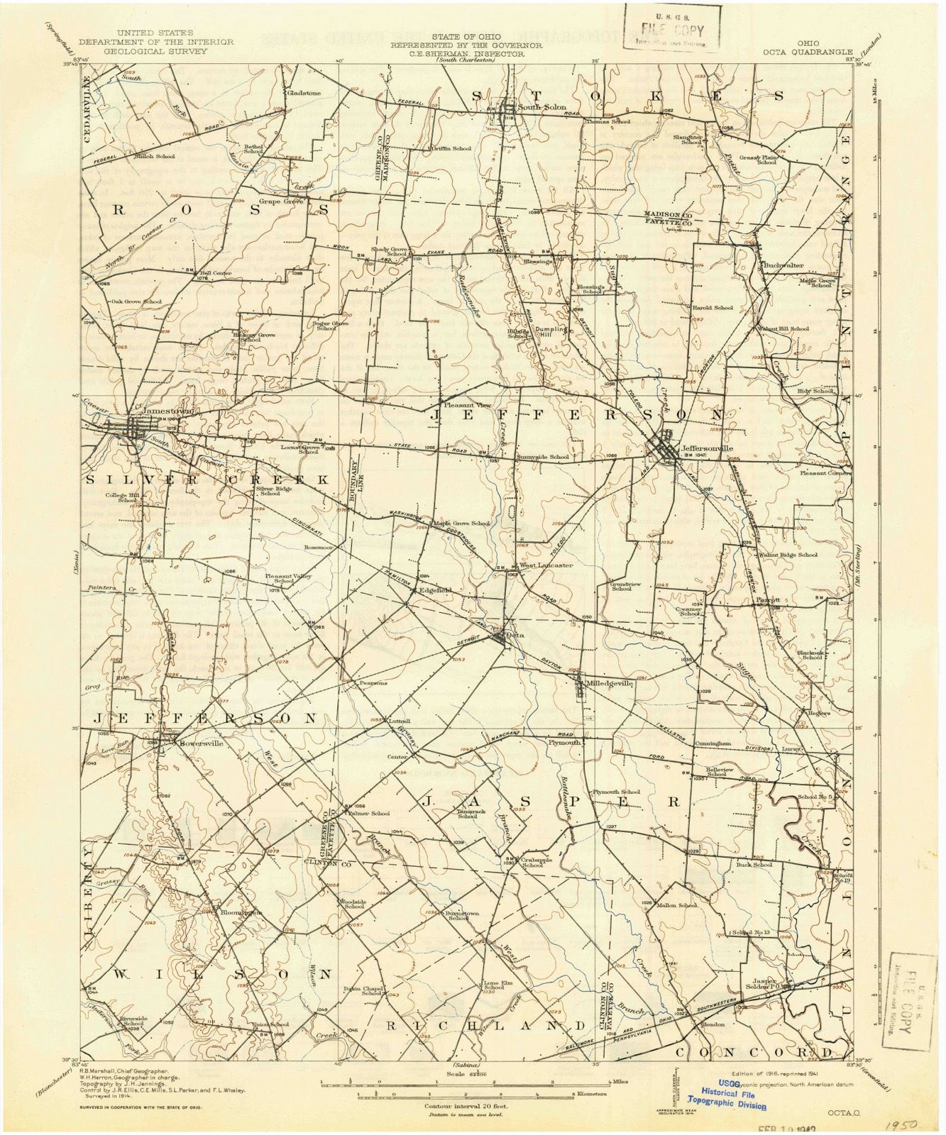
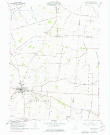
11 topographic sheets cover this place, the earliest surveyed in 1916 and the latest in 1986. It stands in Jefferson Township. It lies in ZIP code area 43128. The Survey maps it on the Jamestown quadrangle.
Then and now
1916 to 1986The same ground, surveyed 70 years apart. Drag the handle to wipe between them. Both sheets are United States Geological Survey originals; neither has been altered.

Topographic sheets covering this place
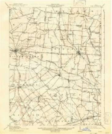
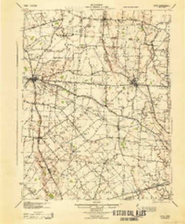
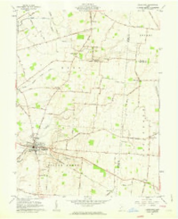
11 sheetsMatched by testing this settlement's coordinate against the published boundary of every sheet in the United States Geological Survey's historical collection. Each opens the scanned sheet at the Survey.
- 1916 USGS Octa quadrangle1:62500
- 1944 USGS Octa quadrangle1:62500
- 1947 USGS Columbus quadrangle1:250000
- 1961 USGS Columbus quadrangle1:250000
- 1961 USGS Jamestown quadrangle1:24000
- 1961 USGS Jamestown quadrangle1:24000
- 1962 USGS Columbus quadrangle1:250000
- 1967 USGS Columbus quadrangle1:250000
- 1967 USGS Columbus quadrangle1:250000
- 1986 USGS Springfield quadrangle1:100000
- 1986 USGS Springfield quadrangle1:100000







What happened here
An account from the chapter on Jefferson township, The inset identifies its exact source book and publication year.
Preface
The Author has spent several months in constant travel and search, and taken unwearied pains, in collecting the names and records of the illustrious Pioneers, who made their homes first in Fayettte County. It has involved considerable time, expense, labor and difficulties. Visiting all the most noted places, mounds, camps, cliffs, etc., in the county, he has endeavored to portray the toils, hardships and privations of a pioneer life, when nothing but dense forests, inhabited only by Indians and wild beasts ; when the only habitation was the rude log cabin ; when the scream of the panther, the howl of the wolf, the hum of wild bees, and the war song of the savages constituted the music of the wilderness.
In the county-history sources
73,361 words on this townshipPioneer Record and Reminiscences of the Early Settlers and Settlement of Fayette County, Ohio, published 1872 names this settlement in its chapter on Jefferson Township. These are the passages that mention it, exactly as the scans read.
Having given my views in regard to the characteristics of a gentleman, I will do the same in reference to the marks or accomplishments of the true lady. In these latter days, fine dress, and g»udy appearance makes or constitutes the lady. This is not true. Principle and friendship in a woman constitutes her a lady, let her dress be ever so fine or shabby. Her regard for the character, honor and repute of her demeanor, lies deep within her heart. She never breaks her vows, and never counsels you to do an imprudent thing. She is man's best friend. She loves with a natural love. Her devotion is genuine. She speaks to all classes, not exclusively to a few. True female friendship is to a man the bulwark, sweetness and ornament of his existence. Our early pioneer mothers were all ladies. Polite, cheerful, frank, social, and showed no distinction. All were treated alike. They could card, weave, and spin. Cold formality and arbitrary aristocracy, in those early days of purity and honesty, were never flaunted in "Love's true philosophy, - equality."
Passage source: Pioneer Record and Reminiscences of the Early Settlers and Settlement of Fayette County, Ohio, published 1872.
Machine-read from a century-old scan, so expect the errors a machine makes: misspelled names, dropped words, stray characters.
Specimens collected near this place
12 of 16 shownRegional context, not property-specific evidence. Museums hold 16 specimens collected within 10 miles of Pleasant View between 1882 and 1973: 8 Animalia, 4 Fungi, 4 Plantae. 12 distinct Species records are shown. Collected by Kellerman, W.A., L. D. Saville, Lloyd, C.G. and others. Each is a physical object with a catalogue number, and each entry opens the museum's record. This is what was collected and kept, not a survey of what lives here - nothing can be concluded from a species being absent.
| Image | Species | Year | Collected by | Where, as recorded |
|---|---|---|---|---|
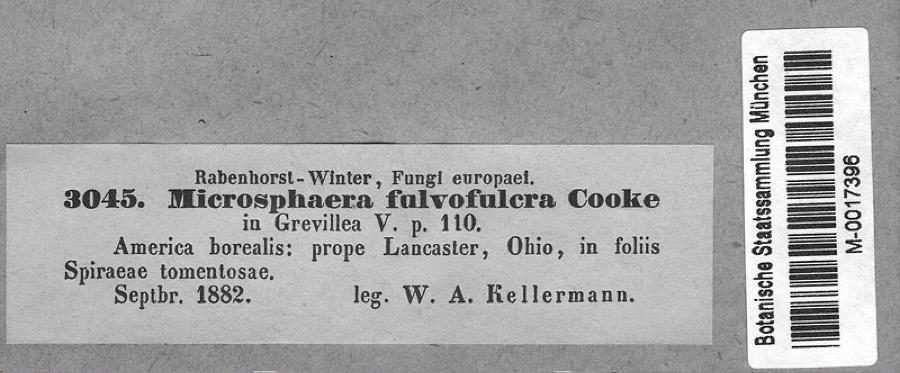 | Podosphaera clandestina var. clandestina (Wallr.) Lév. | 1882 | Kellerman, W.A. | America borealis: prope Lancaster, Ohio, in foliis Spiraeae tomentosae. |
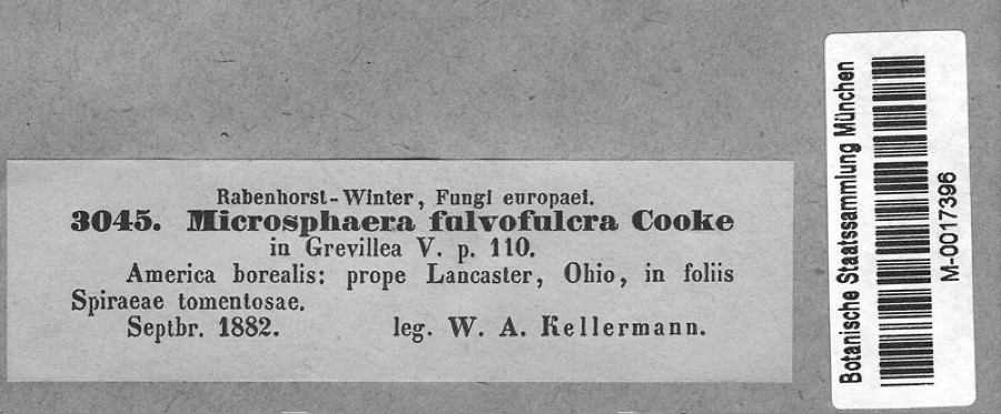 | Spiraea tomentosa L. | 1882 | Kellerman, W.A. | America borealis: prope Lancaster, Ohio, in foliis Spiraeae tomentosae. |
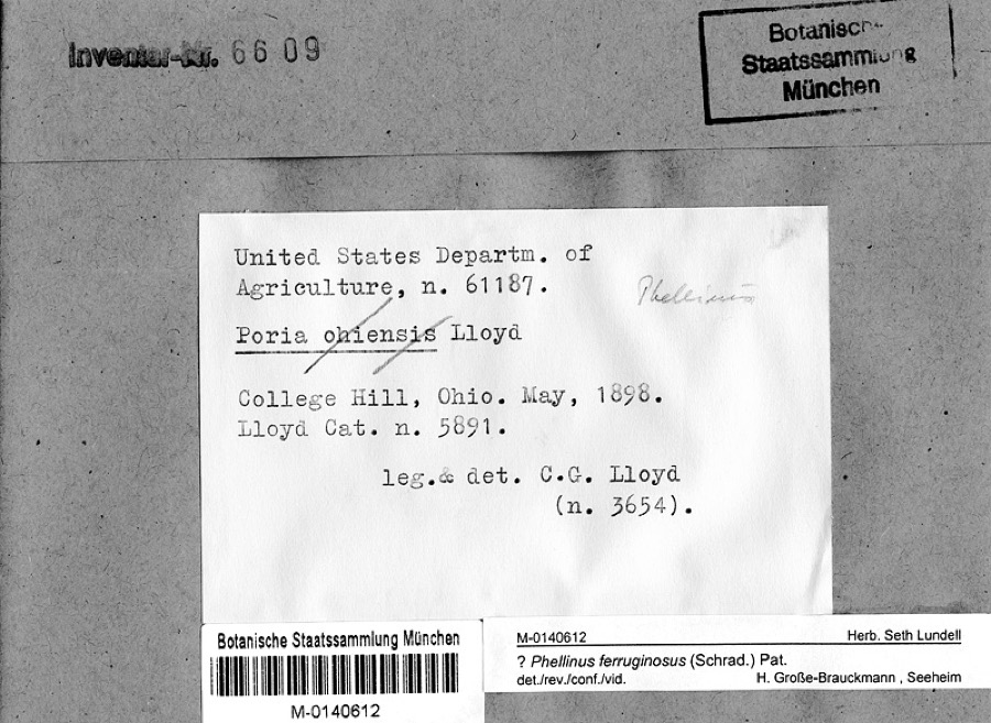 | Phellinus ferruginosus (Schrad.) Pat. | 1898 | Lloyd, C.G. | College Hill, Ohio |
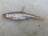 | Opsopoeodus emiliae Hay, 1881 | 1926 | Wickliff, E. L. (Edward L.) | Sugar Creek, near NE corner of Clinton County OH locality is approximate based off Fishes of Ohio distribution map |
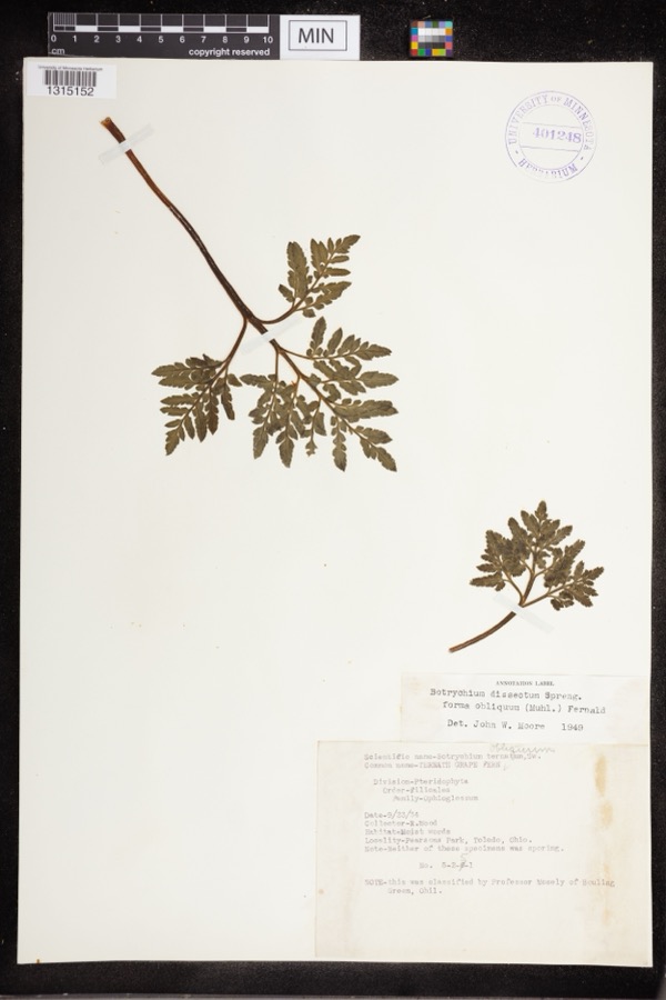 | Botrychium dissectum Spreng. | 1934 | Wood, R. | Pearsons Park |
 | Bombus pensylvanicus (De Geer, 1773) | 1937 | not recorded | |
 | Orconectes rusticus (Girard, 1852) | 1939 | R. Rhoades | West Branch of Rattlesnake Creek, 3 mi. N.E. of Sabina, Wilson Township |
 | Pimephales promelas promelas Rafinesque, 1820 | 1939 | Rhoades, R. (Randall) | West Branch Rattlesnake Creek, within Richland township, near Sabina, Richland township |
| Sphaeriidae | 1962 | Murphy, William | Jeffersonville, KOA camp | |
| Lymnaeidae | 1972 | Murphy, William | Jeffersonville, KOA camp | |
| Physidae | 1972 | Murphy, William | Jeffersonville, KOA camp | |
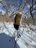 | Peromyscus leucopus (Rafinesque, 1818) | 1973 | L. D. Saville | Richland Township, along creek just off grassy branch road, approx. 1 mi. SE SR-729, approx. 4 mi. NE Sabina |
All 16 specimens within 10 miles, at the Global Biodiversity Information Facility.
Storms near this place
3 since 2017Regional context, not property-specific evidence. The National Weather Service names Pleasant View in 3 storm reports between 2017 and 2020: 1 flash flood, 1 tornado, 1 thunderstorm wind. No death or injury is recorded in these reports. Each account below is quoted exactly as the forecast office filed it, from the NOAA Storm Events Database, and each date opens the federal record of that event.
| When | Event | Place named | Harm | What the report says |
|---|---|---|---|---|
| June 2020 | Thunderstorm Wind | Pleasant View | $3,000 | Numerous large trees were knocked down along OH-41. |
| May 2019 | Tornado (EF0) | Pleasant View | $3,000 | The tornado first touched down in Greene County, about 4 miles north of Jamestown. The tornado traveled southeast before turning more easterly as it entered Fayette County about 4 miles northeast of Jamestown. While in Fayette County, a few tree limbs were downed and siding was removed at a property along Pleasant View Road. No additional damage was found to the east of this location. The damage in Fayette County was consistent with a lower-end EF0 tornado. |
| April 2017 | Flash Flood | Pleasant View | - | High water was reported on Ohio 734 at West Lancaster Rd. |
Nearest settlements
The eight closest, with where each one stands in the county. Distances are straight-line, computed from the Geographic Names Information System coordinates.
| Map | Place | Distance | Sheets |
|---|---|---|---|
| Shady Grove | 2.7 miles | 11 | |
| Blessing | 3.0 miles | 12 | |
| Rosemoor | 3.1 miles | 11 | |
| West Lancaster | 3.2 miles | 12 | |
| Edgefield | 3.6 miles | 11 | |
| Jeffersonville | 3.8 miles | 12 | |
| Octa | 4.4 miles | 12 | |
| Pearsons (historical) | 5.1 miles | 11 |
Elsewhere
Matched on this settlement's Geographic Names Information System number rather than its name, so it cannot be a different place of the same name in another state.
| Wikipedia article on Pleasant View | An encyclopaedic summary. Its text is share-alike, so it is linked here rather than copied. |
| Wikidata item Q22134129 | The structured record the population and elevation above come from. Public domain (CC0). |
Provenance
This settlement is recorded in the Geographic Names Information System as feature 1061556. The sheet list is computed by point-in-boundary test against the United States Geological Survey's historical topographic inventory. Both are works of the United States government and carry no copyright under 17 U.S.C. 105.
Specimens. Global Biodiversity Information Facility (GBIF), https://www.gbif.org/. Only records licensed CC0 or CC BY are used. Records licensed CC BY-NC are excluded because this site carries advertising. Images are checked individually and any whose licence is non-commercial, no-derivatives or unreadable is refused.
Storms. NOAA National Centers for Environmental Information, Storm Events Database https://www.ncei.noaa.gov/stormevents/ A work of the United States government, no copyright under 17 U.S.C. 105. Narratives are quoted verbatim from the National Weather Service report and are not edited or summarised.