 Block
Block
Jenera, Ohio
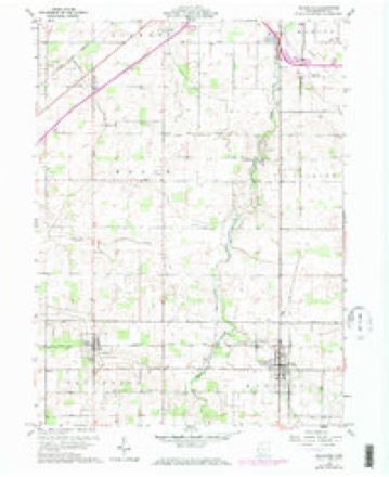
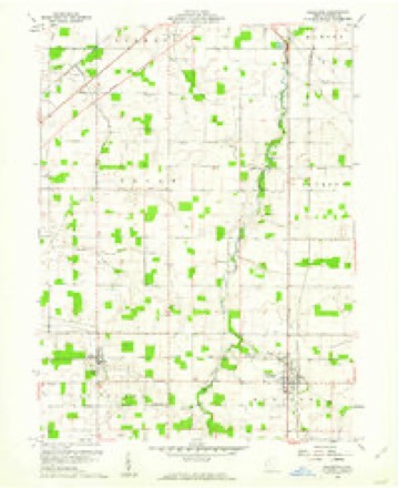
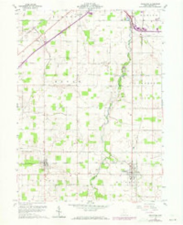
14 topographic sheets cover this place, the earliest surveyed in 1905 and the latest in 1986. It stands in Van Buren Township. It lies in ZIP code area 45841. The Survey maps it on the Arlington quadrangle. 257 people lived here at the 2020 count. It stands 853 feet above sea level.
Population over time
2 figuresJenera grew from 221 to 257 between 2010 and 2020. These are the recorded population figures Wikidata holds for this place, reached through the Geographic Names Information System number this page is keyed on rather than by name, so they belong to this place and not to another of the same name. Most are census counts, but not all are: an early figure may be a founding or settlement estimate. The change column is computed, and is left blank where more than 20 years separate a figure from the one before it, because a gap that long is not a change between two counts.
| Year | People | Change |
|---|---|---|
| 2010 | 221 | |
| 2020 | 257 | +36 (+16%) |
Then and now
1905 to 1986The same ground, surveyed 81 years apart. Drag the handle to wipe between them. Both sheets are United States Geological Survey originals; neither has been altered.

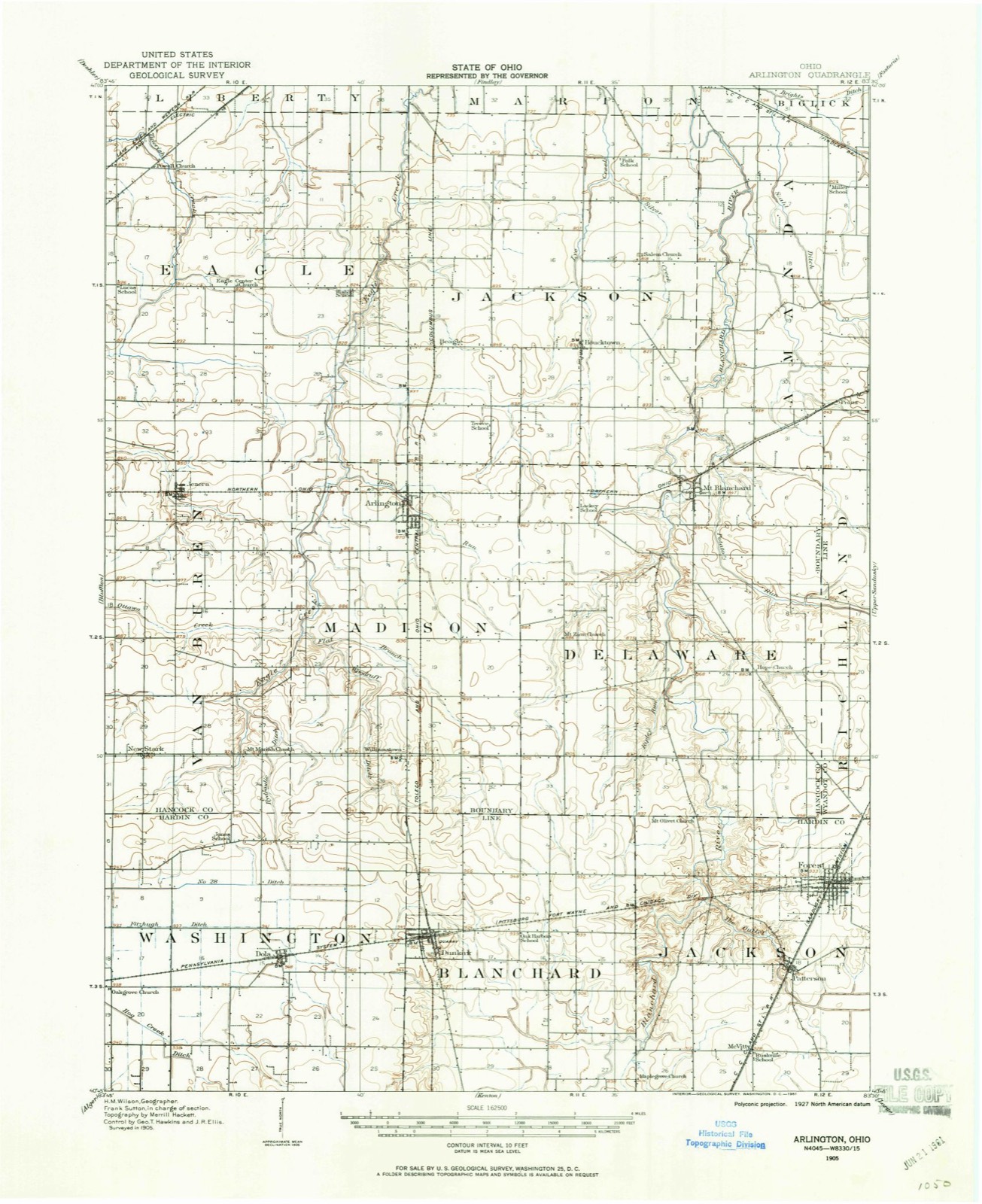
Topographic sheets covering this place
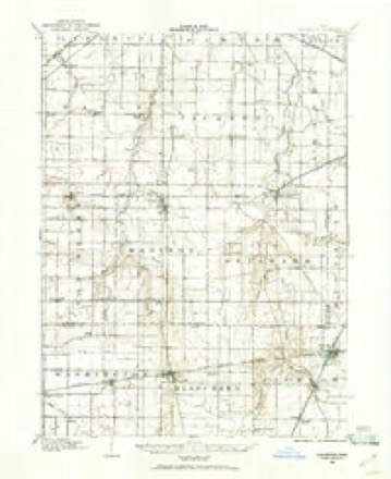
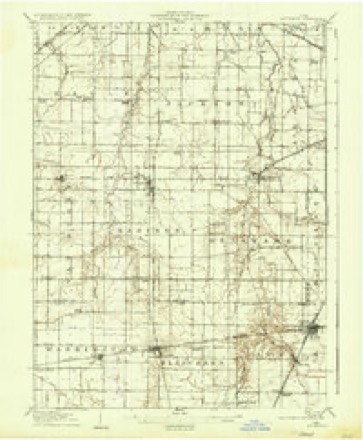
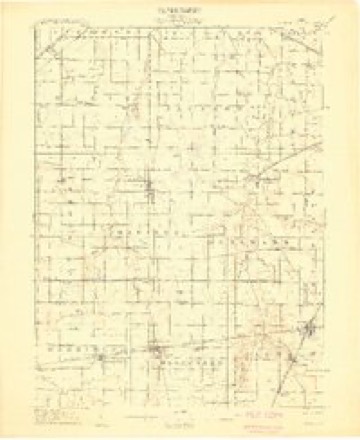
14 sheetsMatched by testing this settlement's coordinate against the published boundary of every sheet in the United States Geological Survey's historical collection. Each opens the scanned sheet at the Survey.
- 1905 USGS Arlington quadrangle1:62500
- 1907 USGS Arlington quadrangle1:62500
- 1907 USGS Arlington quadrangle1:24000
- 1950 USGS Marion quadrangle1:250000
- 1960 USGS Arlington quadrangle1:24000
- 1960 USGS Arlington quadrangle1:24000
- 1960 USGS Arlington quadrangle1:24000
- 1960 USGS Arlington quadrangle1:24000
- 1962 USGS Marion quadrangle1:250000
- 1966 USGS Marion quadrangle1:250000
- 1966 USGS Marion quadrangle1:250000
- 1966 USGS Marion quadrangle1:250000
- 1986 USGS Marion quadrangle1:100000
- 1986 USGS Marion quadrangle1:100000







In the county-history sources
4,320 words on this townshipHistory of Hancock County, Ohio : Containing a History of the County, Its Townships, Towns ... Portraits of Early Settlers and Prominent Men, Biographies, History of the Northwest Territory, History of Ohio, Statistical and Miscellaneous Matter, Etc, published 1886; History of Hancock County Ohio, published 1886 names this settlement in its chapter on Van Buren Township. These are the passages that mention it, exactly as the scans read.
Jenera was laid out April 3, 1883, by Peter Traucht, Samuel Feller and John Heldman on Sections 4 and 5. It had its inception in the completion of the Cleveland, Delphos & St. Louis Narrow Gauge Railroad, which passes through the north part of this township. The road was commenced in 1881, finished through Van Buren in the fall of 1882, and reached Mt. Blanchard in December of that year. A postofiice was established here in 1883, with Dr. A. B. Jenner as postmaster. - He was succeeded in October, 1885, by John Price. The village now contains one dry goods and drug store, a hardware store, a general grocery store, a steam grist-mill, two saloons and a blacksmith shop, and has one physician. Dr. A. B. Jenner, after whom the town was named. A warehouse stands close to the railroad, and as soon as this road is changed to the standard gauge, Jenera will become the shipping point for this portion of the county.
Passage source: History of Hancock County, Ohio : Containing a History of the County, Its Townships, Towns ... Portraits of Early Settlers and Prominent Men, Biographies, History of the Northwest Territory, History of Ohio, Statistical and Miscellaneous Matter, Etc, published 1886.
HIS subdivision lies in the southern range of townships, and is bounded on the north by Eagle Township, on the east by Madison, on the west by Orange, and on the south by Hardin County. Its present territory was embraced in Findlay Township until the erection of Liberty in 1830, when it became a part of the latter subdivision. On petition of sundry inhabitants, Townships 1 and 2 south, Range 10, were, on the 7th of March, 1831, set off from Liberty and Findlay, and named Van Buren in honor of Martin Van Buren, a leading Democrat of the nation, afterward President of the United States. The two eastern tiers of sections in both Townships 1 and 2 were previously a part of Findlay Township, while the four western tiers of each belonged to Liberty. On the 3d of December, 1832, Township | south, Range 10 was cut off Van Buren and erected as Eagle, and March 4, 1834, Township 2 south, Range 9 was attached to Van Buren and so remained until its separate erection as Orange, December 5, 1836. Upon the erection of Madison Township, June 1, 1840, the two eastern tiers of sections of Van Buren were taken in the formation of that subdivision, leaving this township with an area of twenty-four square miles, or 15,360 acres. Its population by decades has been as follows: 1840, 432; 1850, 536; 1860, 713; 1870, 780, and 1880, 907, showing a slow but steady growth from 1840 to 1880 of 475 inhabitants,
Passage source: History of Hancock County Ohio, published 1886.
Machine-read from a century-old scan, so expect the errors a machine makes: misspelled names, dropped words, stray characters.
Specimens collected near this place
12 of 636 shownRegional context, not property-specific evidence. Museums hold 636 specimens collected within 10 miles of Jenera between 1886 and 1973: 629 Animalia, 7 Fungi. 12 distinct Species records are shown. Collected by Auten, CL & LC Hubbs, Collector(s): David E. Ferguson and others. Each is a physical object with a catalogue number, and each entry opens the museum's record. This is what was collected and kept, not a survey of what lives here - nothing can be concluded from a species being absent.
| Image | Species | Year | Collected by | Where, as recorded |
|---|---|---|---|---|
 | Bombus lucorum (Linnaeus, 1761) | 1886 | not recorded | UrbanaBoneyard Creek;Vermilion River;Salt Fork of Vermilion River |
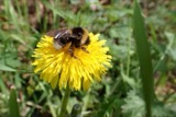 | Bombus bohemicus Seidl, 1838 | 1887 | not recorded | UrbanaBoneyard Creek;Vermilion River;Salt Fork of Vermilion River |
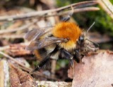 | Bombus pascuorum (Scopoli, 1763) | 1895 | not recorded | UrbanaBoneyard Creek;Vermilion River;Salt Fork of Vermilion River |
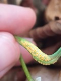 | Puccinia mariae-wilsoniae Clinton | 1901 | W. A. Kellerman | Arlington |
 | Bombus pensylvanicus (De Geer, 1773) | 1905 | not recorded | UrbanaBoneyard Creek;Vermilion River;Salt Fork of Vermilion River |
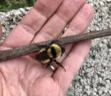 | Bombus fervidus (Fabricius, 1798) | 1906 | not recorded | UrbanaBoneyard Creek;Vermilion River;Salt Fork of Vermilion River |
| Bombus variabilis (Cresson, 1872) | 1907 | not recorded | UrbanaBoneyard Creek;Vermilion River;Salt Fork of Vermilion River | |
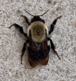 | Bombus griseocollis (De Geer, 1773) | 1911 | not recorded | UrbanaBoneyard Creek;Vermilion River;Salt Fork of Vermilion River |
| Bombus auricomus (Robertson, 1903) | 1912 | not recorded | UrbanaBoneyard Creek;Vermilion River;Salt Fork of Vermilion River | |
| Bombus bimaculatus Cresson, 1863 | 1913 | not recorded | UrbanaBoneyard Creek;Vermilion River;Salt Fork of Vermilion River | |
| Bombus fraternus (Smith, 1854) | 1913 | not recorded | UrbanaBoneyard Creek;Vermilion River;Salt Fork of Vermilion River | |
 | Bombus impatiens Cresson, 1863 | 1914 | not recorded | UrbanaBoneyard Creek;Vermilion River;Salt Fork of Vermilion River |
All 636 specimens within 10 miles, at the Global Biodiversity Information Facility.
Storms near this place
9 since 1998Regional context, not property-specific evidence. The National Weather Service names Jenera in 9 storm reports between 1998 and 2023: 6 thunderstorm wind, 3 hail. No death or injury is recorded in these reports. Each account below is quoted exactly as the forecast office filed it, from the NOAA Storm Events Database, and each date opens the federal record of that event.
| When | Event | Place named | Harm | What the report says |
|---|---|---|---|---|
| March 2017 | Thunderstorm Wind | Jenera | $25,000 | Strong winds in advance of an area of showers with embedded thunderstorms knocked down several trees and large limbs. A section of fencing was also blown over and at least one home lost some roofing. |
| May 2008 | Thunderstorm Wind | Jenera | $20,000 | Thunderstorm winds heavily damaged the roof of a house in Jenera. |
| July 2012 | Thunderstorm Wind | Jenera | $15,000 | Thunderstorm winds tore the roof off of a barn. |
| November 2002 | Hail | Jenera | $10,000 | Quarter size hail was observed. |
| April 2003 | Thunderstorm Wind | Jenera | $5,000 | Thunderstorm wind gusts were estimated at 60 mph in Findlay. A large tree was downed a few miles west of Jenera. |
| July 2023 | Thunderstorm Wind | Jenera | - | Several tree limbs downed in Jenera. |
| August 2023 | Thunderstorm Wind | Jenera | - | Power pole downed in Jenera. Straight-line wind damage was caused by nearby outflow-dominant thunderstorms. |
| July 1999 | Hail | Jenera | - | no account filed |
| May 1998 | Hail | Jenera | - | no account filed |
Nearest settlements
The eight closest, with where each one stands in the county. Distances are straight-line, computed from the Geographic Names Information System coordinates.
| Map | Place | Distance | Sheets |
|---|---|---|---|
| Cordelia | 3.1 miles | 12 | |
| Cannonsburg | 3.2 miles | 12 | |
| Martinstown (historical) | 4.0 miles | 14 | |
| Arlington | 4.1 miles | 14 | |
| Hassan (historical) | 4.3 miles | 12 | |
| New Stark | 4.6 miles | 12 | |
| Rawson | 5.1 miles | 12 | |
| Beagle (historical) | 5.1 miles | 14 |
Elsewhere
Matched on this settlement's Geographic Names Information System number rather than its name, so it cannot be a different place of the same name in another state.
| Wikipedia article on Jenera | An encyclopaedic summary. Its text is share-alike, so it is linked here rather than copied. |
| Wikidata item Q2668463 | The structured record the population and elevation above come from. Public domain (CC0). |
Provenance
This settlement is recorded in the Geographic Names Information System as feature 1042073. The sheet list is computed by point-in-boundary test against the United States Geological Survey's historical topographic inventory. Both are works of the United States government and carry no copyright under 17 U.S.C. 105.
Specimens. Global Biodiversity Information Facility (GBIF), https://www.gbif.org/. Only records licensed CC0 or CC BY are used. Records licensed CC BY-NC are excluded because this site carries advertising. Images are checked individually and any whose licence is non-commercial, no-derivatives or unreadable is refused.
Storms. NOAA National Centers for Environmental Information, Storm Events Database https://www.ncei.noaa.gov/stormevents/ A work of the United States government, no copyright under 17 U.S.C. 105. Narratives are quoted verbatim from the National Weather Service report and are not edited or summarised.