 Block
Block
Rawson, Ohio
12 topographic sheets cover this place, the earliest surveyed in 1907 and the latest in 1986. It stands in Union Township. It lies in ZIP code area 45881. It stands on Tiderishi Creek. The Survey maps it on the Rawson quadrangle. 567 people lived here at the 2020 count. It stands 814 feet above sea level.
Population over time
2 figuresRawson fell from 570 to 567 between 2010 and 2020. These are the recorded population figures Wikidata holds for this place, reached through the Geographic Names Information System number this page is keyed on rather than by name, so they belong to this place and not to another of the same name. Most are census counts, but not all are: an early figure may be a founding or settlement estimate. The change column is computed, and is left blank where more than 20 years separate a figure from the one before it, because a gap that long is not a change between two counts.
| Year | People | Change |
|---|---|---|
| 2010 | 570 | |
| 2020 | 567 | -3 (-1%) |
Then and now
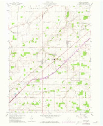
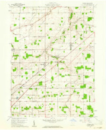
1907 to 1986The same ground, surveyed 79 years apart. Drag the handle to wipe between them. Both sheets are United States Geological Survey originals; neither has been altered.

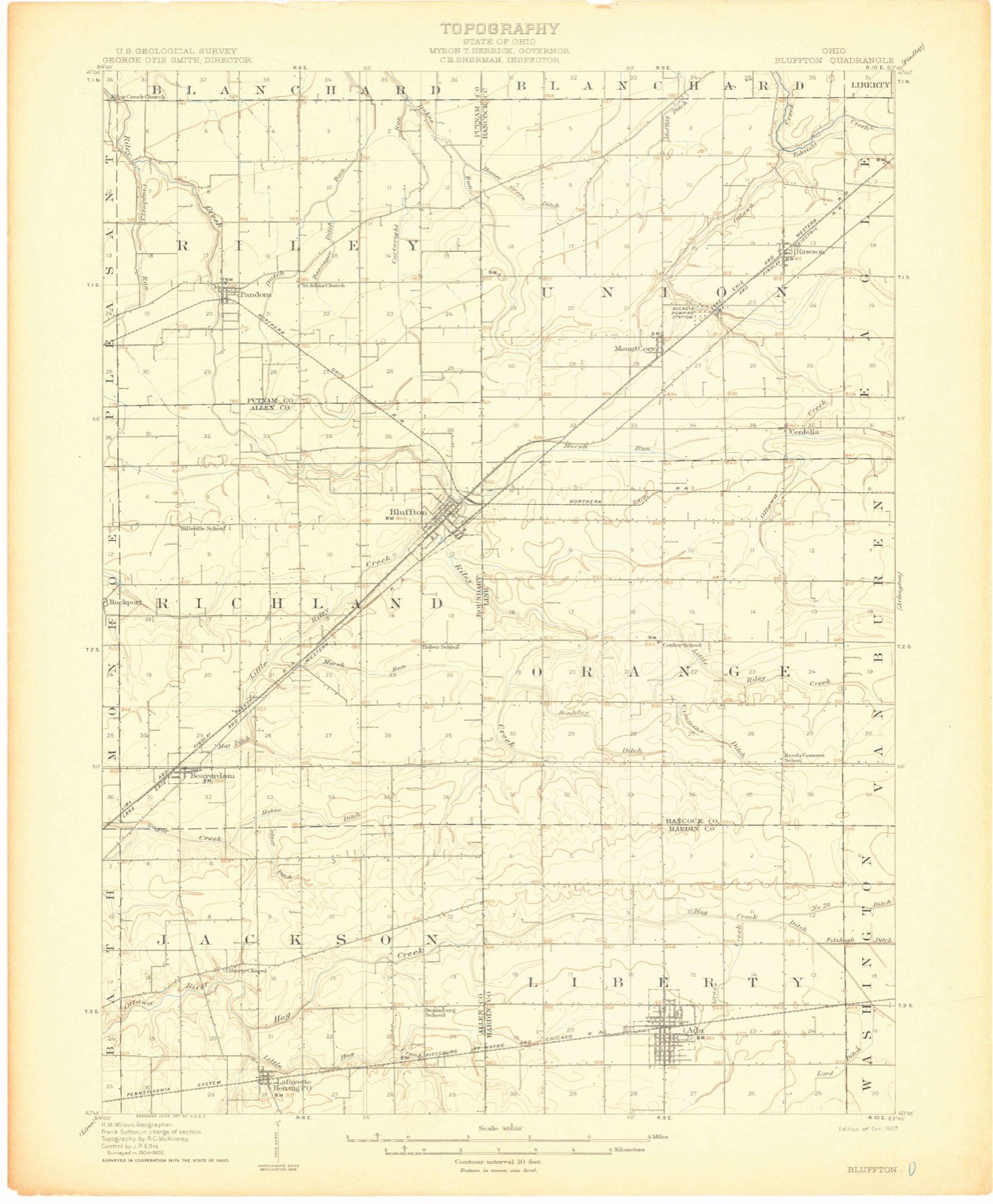
Topographic sheets covering this place
12 sheetsMatched by testing this settlement's coordinate against the published boundary of every sheet in the United States Geological Survey's historical collection. Each opens the scanned sheet at the Survey.
- 1907 USGS Bluffton quadrangle1:62500
- 1907 USGS Bluffton quadrangle1:62500
- 1907 USGS Bluffton quadrangle1:62500
- 1950 USGS Marion quadrangle1:250000
- 1960 USGS Rawson quadrangle1:24000
- 1960 USGS Rawson quadrangle1:24000
- 1962 USGS Marion quadrangle1:250000
- 1966 USGS Marion quadrangle1:250000
- 1966 USGS Marion quadrangle1:250000
- 1966 USGS Marion quadrangle1:250000
- 1986 USGS Marion quadrangle1:100000
- 1986 USGS Marion quadrangle1:100000







In the county-history sources
15,761 words on this townshipHistory of Hancock County [Ohio] from Its Earliest Settlement to the Present Time, Together with Remeiniscenses of Pioneer Life, Incidents, Statistical Tables, and Biographical Sketches, published 1881 names this settlement in its chapter on Union Township. These are the passages that mention it, exactly as the scans read.
Wenman Wade was of that class of robust and pushing frontiersman, who pave the way for a better civilization and prosperous country, by boldly pushing out into the wilderness, and enduring the hardships and privations of pioneer life uncomplainingly. Honest, industrious and contented. Mr. Wade was one who enjoyed the confidence of the community in which he lived. He held the otiice of Justice of the Peace, and in entitled to the distinction of being the first person in the county whose election was contested, as the following notice will show:
Passage source: History of Hancock County [Ohio] from Its Earliest Settlement to the Present Time, Together with Remeiniscenses of Pioneer Life, Incidents, Statistical Tables, and Biographical Sketches, published 1881.
The first church in the township was built by the United Brethren, and is known as the Clymer Church. There are now eleven church buildings in the township, which certainly speaks well for the morals of the inhabitants. They are owned as follows: United Brethren two. Evangelical two, United Presbyterian one, Methodist p]piscopal one, Methodist Protestant two. Christian Union two, Church of God -one. These buildings are all substantial, and many of them really tasteful in their construction and finish.
Passage source: History of Hancock County [Ohio] from Its Earliest Settlement to the Present Time, Together with Remeiniscenses of Pioneer Life, Incidents, Statistical Tables, and Biographical Sketches, published 1881.
The town of Kawsou, on the Lake Erie & Western Railway, was laid out in 1855 by Frederick Keller and G. J. Kelley, on the north-west corner of the south-west quarter of section thirteen, and the north-east corner of the east half of the south-east quarter of section fourteen, and originally comprised but fifty-four lots. The town was named in honor of L. Q. Rawson, of Fremont, Ohio, who was then President of the railroad.
Passage source: History of Hancock County [Ohio] from Its Earliest Settlement to the Present Time, Together with Remeiniscenses of Pioneer Life, Incidents, Statistical Tables, and Biographical Sketches, published 1881.
Machine-read from a century-old scan, so expect the errors a machine makes: misspelled names, dropped words, stray characters.
Read the whole chapter on Union Township - it names this place 10 more 10 times.
Specimens collected near this place
12 of 619 shownRegional context, not property-specific evidence. Museums hold 619 specimens collected within 10 miles of Rawson between 1883 and 1973: 602 Animalia, 17 Fungi. 12 distinct Species records are shown. Collected by Auten, CL & LC Hubbs, Collector(s): David E. Ferguson and others. Each is a physical object with a catalogue number, and each entry opens the museum's record. This is what was collected and kept, not a survey of what lives here - nothing can be concluded from a species being absent.
| Image | Species | Year | Collected by | Where, as recorded |
|---|---|---|---|---|
 | Notropis boops Gilbert, 1884 | 1883 | Kirsch, P. H | Blanchard River, Findlay |
 | Bombus lucorum (Linnaeus, 1761) | 1886 | not recorded | UrbanaBoneyard Creek;Vermilion River;Salt Fork of Vermilion River |
 | Bombus bohemicus Seidl, 1838 | 1887 | not recorded | UrbanaBoneyard Creek;Vermilion River;Salt Fork of Vermilion River |
 | Esox americanus vermiculatus Lesueur, 1846 | 1893 | P. Kirsch | Blanchard River, Findlay, Ohio |
 | Micropterus dolomieu Lacepède, 1802 | 1893 | P. Kirsch | Blanchard River, Findley, Ohio |
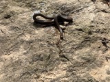 | Regina septemvittata (Say, 1825) | 1893 | not recorded | Findlay, Blanchard River |
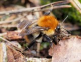 | Bombus pascuorum (Scopoli, 1763) | 1895 | not recorded | UrbanaBoneyard Creek;Vermilion River;Salt Fork of Vermilion River |
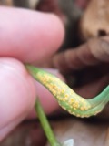 | Puccinia mariae-wilsoniae Clinton | 1901 | W. A. Kellerman | Arlington |
 | Bombus pensylvanicus (De Geer, 1773) | 1905 | not recorded | UrbanaBoneyard Creek;Vermilion River;Salt Fork of Vermilion River |
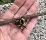 | Bombus fervidus (Fabricius, 1798) | 1906 | not recorded | UrbanaBoneyard Creek;Vermilion River;Salt Fork of Vermilion River |
| Bombus variabilis (Cresson, 1872) | 1907 | not recorded | UrbanaBoneyard Creek;Vermilion River;Salt Fork of Vermilion River | |
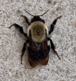 | Bombus griseocollis (De Geer, 1773) | 1911 | not recorded | UrbanaBoneyard Creek;Vermilion River;Salt Fork of Vermilion River |
All 619 specimens within 10 miles, at the Global Biodiversity Information Facility.
Storms near this place
9 since 1998Regional context, not property-specific evidence. The National Weather Service names Rawson in 9 storm reports between 1998 and 2006: 5 thunderstorm wind, 4 hail. No death or injury is recorded in these reports. Each account below is quoted exactly as the forecast office filed it, from the NOAA Storm Events Database, and each date opens the federal record of that event.
| When | Event | Place named | Harm | What the report says |
|---|---|---|---|---|
| July 1998 | Thunderstorm Wind | Rawson | $100,000 | Trees, power lines and power poles were downed, some on roads and houses. Trees were also downed approximately ten miles northeast of Rawson near Findlay |
| June 2005 | Thunderstorm Wind | Rawson | $15,000 | Numerous large limbs and radio antennas blown down from severe thunderstorm winds. |
| July 2002 | Thunderstorm Wind | Rawson | $10,000 | Thunderstorm winds downed several trees and large limbs. |
| May 2003 | Thunderstorm Wind | Rawson | $7,000 | Thunderstorm winds downed several large tree limbs. |
| June 2005 | Thunderstorm Wind | Rawson | $2,000 | A few large limbs reported down. |
| May 2006 | Hail | Rawson | - | Nickel size hail was observed. |
| July 2000 | Hail | Rawson | - | Dime size hail was reported five miles southwest of Rawson. |
| August 2000 | Hail | Rawson | - | Dime size hail was reported five miles southwest of Rawson near the Bluffton Airport. |
| June 2000 | Hail | Rawson | - | no account filed |
Nearest settlements
The eight closest, with where each one stands in the county. Distances are straight-line, computed from the Geographic Names Information System coordinates.
| Map | Place | Distance | Sheets |
|---|---|---|---|
| Mount Cory | 2.5 miles | 12 | |
| Cannonsburg | 3.0 miles | 12 | |
| Benton Ridge | 3.2 miles | 9 | |
| Cordelia | 4.1 miles | 12 | |
| Jenera | 5.1 miles | 14 | |
| Moffitt (historical) | 5.5 miles | 9 | |
| Lewisville (historical) | 6.4 miles | 9 | |
| West Park | 7.1 miles | 13 |
Elsewhere
Matched on this settlement's Geographic Names Information System number rather than its name, so it cannot be a different place of the same name in another state.
| Wikipedia article on Rawson | An encyclopaedic summary. Its text is share-alike, so it is linked here rather than copied. |
| Wikidata item Q2276184 | The structured record the population and elevation above come from. Public domain (CC0). |
Provenance
This settlement is recorded in the Geographic Names Information System as feature 1044873. The sheet list is computed by point-in-boundary test against the United States Geological Survey's historical topographic inventory. Both are works of the United States government and carry no copyright under 17 U.S.C. 105.
Specimens. Global Biodiversity Information Facility (GBIF), https://www.gbif.org/. Only records licensed CC0 or CC BY are used. Records licensed CC BY-NC are excluded because this site carries advertising. Images are checked individually and any whose licence is non-commercial, no-derivatives or unreadable is refused.
Storms. NOAA National Centers for Environmental Information, Storm Events Database https://www.ncei.noaa.gov/stormevents/ A work of the United States government, no copyright under 17 U.S.C. 105. Narratives are quoted verbatim from the National Weather Service report and are not edited or summarised.