 Block
Block
Cannonsburg, Ohio
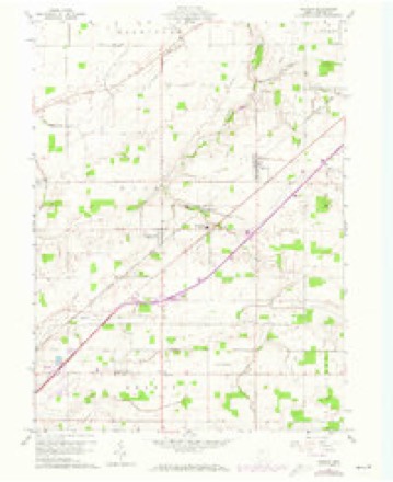
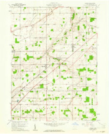
12 topographic sheets cover this place, the earliest surveyed in 1907 and the latest in 1986. It stands in Union Township. It lies in ZIP code area 45881. The Survey maps it on the Rawson quadrangle.
Then and now
1907 to 1986The same ground, surveyed 79 years apart. Drag the handle to wipe between them. Both sheets are United States Geological Survey originals; neither has been altered.

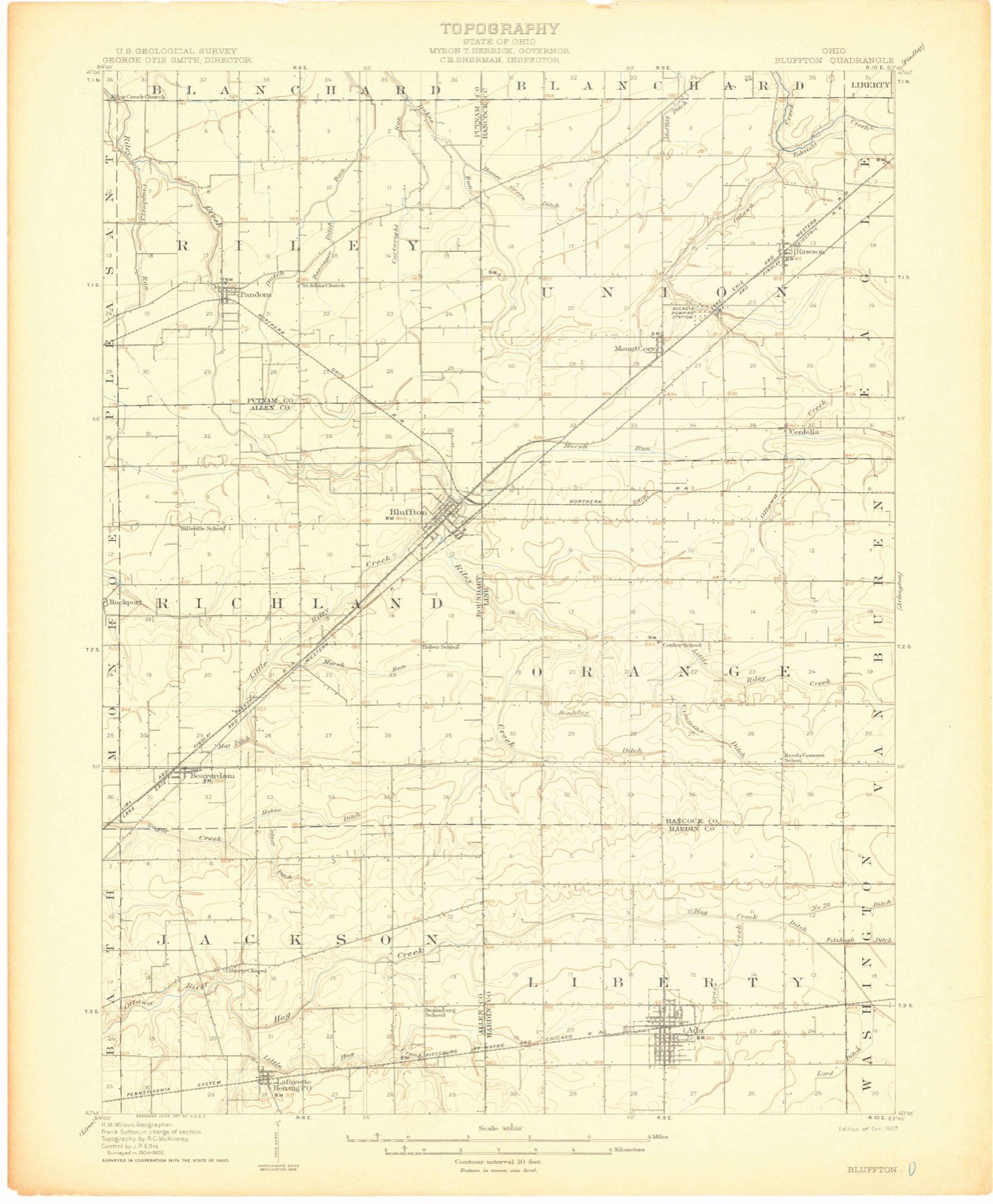
Topographic sheets covering this place
12 sheetsMatched by testing this settlement's coordinate against the published boundary of every sheet in the United States Geological Survey's historical collection. Each opens the scanned sheet at the Survey.
- 1907 USGS Bluffton quadrangle1:62500
- 1907 USGS Bluffton quadrangle1:62500
- 1907 USGS Bluffton quadrangle1:62500
- 1950 USGS Marion quadrangle1:250000
- 1960 USGS Rawson quadrangle1:24000
- 1960 USGS Rawson quadrangle1:24000
- 1962 USGS Marion quadrangle1:250000
- 1966 USGS Marion quadrangle1:250000
- 1966 USGS Marion quadrangle1:250000
- 1966 USGS Marion quadrangle1:250000
- 1986 USGS Marion quadrangle1:100000
- 1986 USGS Marion quadrangle1:100000







In the county-history sources
15,761 words on this townshipHistory of Hancock County [Ohio] from Its Earliest Settlement to the Present Time, Together with Remeiniscenses of Pioneer Life, Incidents, Statistical Tables, and Biographical Sketches, published 1881 names this settlement in its chapter on Union Township. These are the passages that mention it, exactly as the scans read.
The first school house was built at the center of the township, and a school has been kept there ever since. There are now ten school buildings in the township, all of them, I believe, of brick, and finished and furnished in modern style The schools in this township have the reputation of being amongst the very best in the county.
Passage source: History of Hancock County [Ohio] from Its Earliest Settlement to the Present Time, Together with Remeiniscenses of Pioneer Life, Incidents, Statistical Tables, and Biographical Sketches, published 1881.
The town started out fairly, and soon quite a number of buildings were erected, but as the railroad, the locating of which had called the town into existence, was not built, and for years there seemed to be l)ut little hope that it would be, the town came to a halt, and was of but little significance in the history of the township. A few mechanics had invested all their means in property in the prospective town,^ and could not sell it again. The town perhaps could always boast of a small country store and grocery combined, but for years it was a desperate struggle to keep life in the place.
Passage source: History of Hancock County [Ohio] from Its Earliest Settlement to the Present Time, Together with Remeiniscenses of Pioneer Life, Incidents, Statistical Tables, and Biographical Sketches, published 1881.
Machine-read from a century-old scan, so expect the errors a machine makes: misspelled names, dropped words, stray characters.
Read the whole chapter on Union Township - it names this place 4 more 4 times.
Specimens collected near this place
12 of 593 shownRegional context, not property-specific evidence. Museums hold 593 specimens collected within 10 miles of Cannonsburg between 1886 and 1973: 586 Animalia, 7 Fungi. 12 distinct Species records are shown. Collected by Auten, CL & LC Hubbs, Collector(s): David E. Ferguson and others. Each is a physical object with a catalogue number, and each entry opens the museum's record. This is what was collected and kept, not a survey of what lives here - nothing can be concluded from a species being absent.
| Image | Species | Year | Collected by | Where, as recorded |
|---|---|---|---|---|
 | Bombus lucorum (Linnaeus, 1761) | 1886 | not recorded | UrbanaBoneyard Creek;Vermilion River;Salt Fork of Vermilion River |
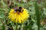 | Bombus bohemicus Seidl, 1838 | 1887 | not recorded | UrbanaBoneyard Creek;Vermilion River;Salt Fork of Vermilion River |
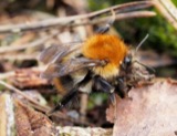 | Bombus pascuorum (Scopoli, 1763) | 1895 | not recorded | UrbanaBoneyard Creek;Vermilion River;Salt Fork of Vermilion River |
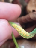 | Puccinia mariae-wilsoniae Clinton | 1901 | W. A. Kellerman | Arlington |
 | Bombus pensylvanicus (De Geer, 1773) | 1905 | not recorded | UrbanaBoneyard Creek;Vermilion River;Salt Fork of Vermilion River |
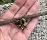 | Bombus fervidus (Fabricius, 1798) | 1906 | not recorded | UrbanaBoneyard Creek;Vermilion River;Salt Fork of Vermilion River |
| Bombus variabilis (Cresson, 1872) | 1907 | not recorded | UrbanaBoneyard Creek;Vermilion River;Salt Fork of Vermilion River | |
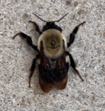 | Bombus griseocollis (De Geer, 1773) | 1911 | not recorded | UrbanaBoneyard Creek;Vermilion River;Salt Fork of Vermilion River |
| Bombus auricomus (Robertson, 1903) | 1912 | not recorded | UrbanaBoneyard Creek;Vermilion River;Salt Fork of Vermilion River | |
| Bombus bimaculatus Cresson, 1863 | 1913 | not recorded | UrbanaBoneyard Creek;Vermilion River;Salt Fork of Vermilion River | |
| Bombus fraternus (Smith, 1854) | 1913 | not recorded | UrbanaBoneyard Creek;Vermilion River;Salt Fork of Vermilion River | |
 | Bombus impatiens Cresson, 1863 | 1914 | not recorded | UrbanaBoneyard Creek;Vermilion River;Salt Fork of Vermilion River |
All 593 specimens within 10 miles, at the Global Biodiversity Information Facility.
Nearest settlements
The eight closest, with where each one stands in the county. Distances are straight-line, computed from the Geographic Names Information System coordinates.
| Map | Place | Distance | Sheets |
|---|---|---|---|
| Cordelia | 1.1 miles | 12 | |
| Mount Cory | 2.5 miles | 12 | |
| Rawson | 3.0 miles | 12 | |
| Jenera | 3.2 miles | 14 | |
| Hassan (historical) | 4.9 miles | 12 | |
| New Stark | 6.1 miles | 12 | |
| Benton Ridge | 6.2 miles | 9 | |
| Martinstown (historical) | 7.1 miles | 14 |
Elsewhere
Matched on this settlement's Geographic Names Information System number rather than its name, so it cannot be a different place of the same name in another state.
| Wikipedia article on Cannonsburg | An encyclopaedic summary. Its text is share-alike, so it is linked here rather than copied. |
| Wikidata item Q22133619 | The structured record the population and elevation above come from. Public domain (CC0). |
Provenance
This settlement is recorded in the Geographic Names Information System as feature 1054426. The sheet list is computed by point-in-boundary test against the United States Geological Survey's historical topographic inventory. Both are works of the United States government and carry no copyright under 17 U.S.C. 105.
Specimens. Global Biodiversity Information Facility (GBIF), https://www.gbif.org/. Only records licensed CC0 or CC BY are used. Records licensed CC BY-NC are excluded because this site carries advertising. Images are checked individually and any whose licence is non-commercial, no-derivatives or unreadable is refused.