 Block
Block
Jericho, Ohio
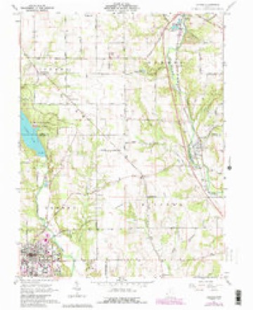
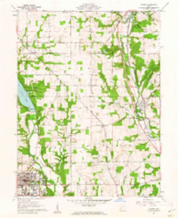
11 topographic sheets cover this place, the earliest surveyed in 1911 and the latest in 1986. It stands in Milford Township. It lies in ZIP code area 45064. The Survey maps it on the Oxford quadrangle.
Then and now
1911 to 1986The same ground, surveyed 75 years apart. Drag the handle to wipe between them. Both sheets are United States Geological Survey originals; neither has been altered.

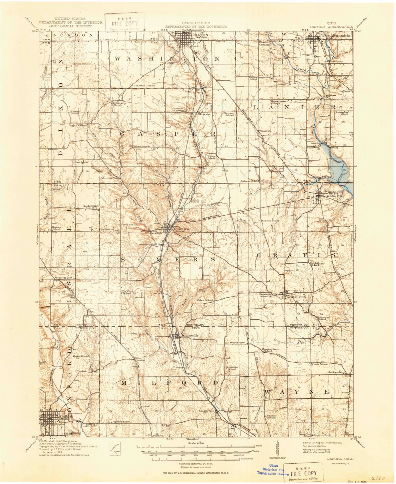
Topographic sheets covering this place
11 sheetsMatched by testing this settlement's coordinate against the published boundary of every sheet in the United States Geological Survey's historical collection. Each opens the scanned sheet at the Survey.
- 1911 USGS Oxford quadrangle1:62500
- 1953 USGS Cincinnati quadrangle1:250000
- 1953 USGS Cincinnati quadrangle1:250000
- 1953 USGS Cincinnati quadrangle1:250000
- 1957 USGS Cincinnati quadrangle1:250000
- 1961 USGS Oxford quadrangle1:24000
- 1961 USGS Oxford quadrangle1:24000
- 1961 USGS Oxford quadrangle1:24000
- 1961 USGS Oxford quadrangle1:24000
- 1986 USGS Dayton quadrangle1:100000
- 1986 USGS Dayton quadrangle1:100000






In the county-history sources
12,534 words on this townshipThe Mound Builders : Being an Account of a Remarkable People That Once Inhabited the Valleys of the Ohio and Mississippi, Together with an Investigation Into the Archæology of Butler County, O., published 1879 names this settlement in its chapter on Milford Township. These are the passages that mention it, exactly as the scans read.
The largest mound in the township is that on the farm of A. Logedrost, section eighteen. It is perfectly formed, composed of clay, and sixteen feet altitude by eightyeight feet in diameter at the base. It is located in an open field, and from the summit may be seen the hills beyond the Miami, and the hills in the distance at the north ; the view beyond the valley to the southwest is cut off by a range of hills. A drift has been sent in from the east a distance of ten feet, the material having been taken to fill up a depression in the barnyard. Within this drift was found an American half-dollar of the year 1812. It is slightly worn and much tarnished. From the south a drift has been made a distance of eight feet. Two excavations are in the top, one three feet and the other five in depth. From the latter a portion of a human skeleton, and a grooved stone axe, weighing over four pounds, were taken. I was fortunate enough to secure both the axe and the coin. Less than a fourth of a mile southeast of this mound, situated on the farm of
Passage source: The Mound Builders : Being an Account of a Remarkable People That Once Inhabited the Valleys of the Ohio and Mississippi, Together with an Investigation Into the Archæology of Butler County, O., published 1879.
Section seven contains five mounds, three of them located on the farm of S. Crane. The two in the field are low, one of them containing burnt clay. Out of this some implements have been taken; also plaited hair in a charred condition. The remaining mound is four feet high, and located in the woods. The other two mounds, located on the farms of J. Garver and A. Shobert, are small. On the farm of A. Werner, section eighteen, is a low mound.
Passage source: The Mound Builders : Being an Account of a Remarkable People That Once Inhabited the Valleys of the Ohio and Mississippi, Together with an Investigation Into the Archæology of Butler County, O., published 1879.
Machine-read from a century-old scan, so expect the errors a machine makes: misspelled names, dropped words, stray characters.
Specimens collected near this place
12 of 2,016 shownRegional context, not property-specific evidence. Museums hold 2,016 specimens collected within 10 miles of Jericho between 1879 and 1975: 876 Fungi, 859 Animalia, 207 Plantae, 60 Protozoa, 13 Unrecorded, 1 Chromista. 12 distinct Species records are shown. Collected by ?, A. V. J.; W. G. S., A.L.; Bucholtz, I. and others. Each is a physical object with a catalogue number, and each entry opens the museum's record. This is what was collected and kept, not a survey of what lives here - nothing can be concluded from a species being absent.
| Image | Species | Year | Collected by | Where, as recorded |
|---|---|---|---|---|
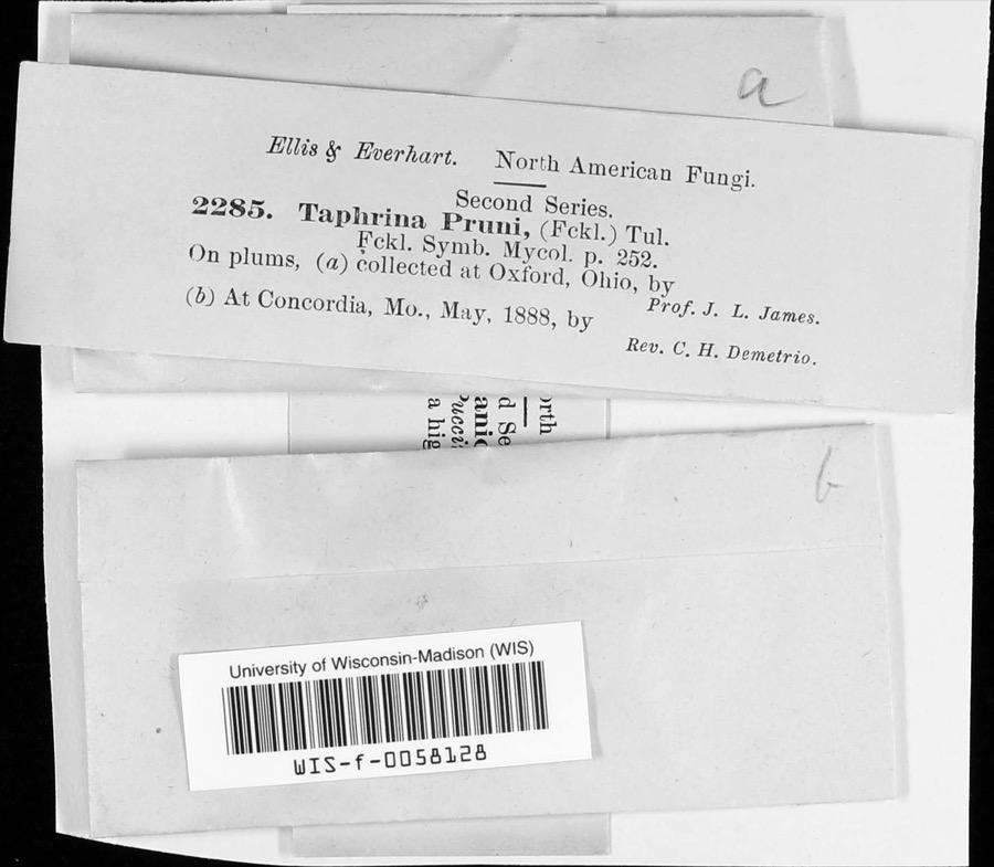 | Taphrina communis (Sadeb.) Giesenh. | 1888 | J. L. James | |
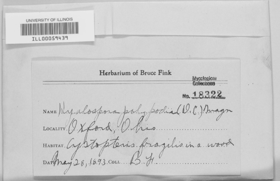 | unnamed | 1893 | B. Fink | Oxford. |
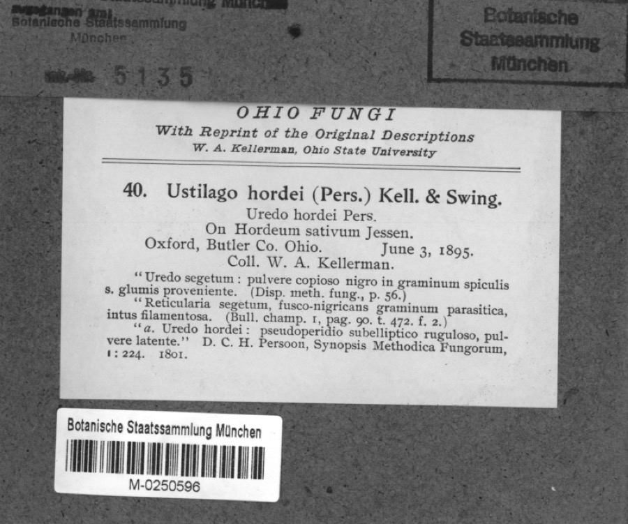 | Hordeum sativum Pers. | 1895 | Kellerman, W.A. | Oxford, Butler Co. Ohio. |
 | Spiza americana (J.F.Gmelin, 1789) | 1879 | Porter, J.B. | |
 | Tringa solitaria A.Wilson, 1813 | 1879 | Porter collection, J.B. | |
 | Charadrius semipalmatus Bonaparte, 1825 | 1880 | not recorded | |
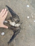 | Chlidonias niger (Linnaeus, 1758) | 1880 | Porter collection, J.B. | |
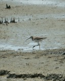 | Tringa melanoleuca (J.F.Gmelin, 1789) | 1880 | Porter collection, J.B. | |
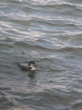 | Gavia immer (Brunnich, 1764) | 1881 | Porter, J.B. | |
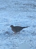 | Zenaida macroura (Linnaeus, 1758) | 1881 | Porter collection, J.B. | |
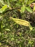 | Taphrina pruni (Fuckel) Tul. | 1888 | J. L. James | Oxford. |
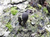 | Xylaria polymorpha (Pers.) Grev. | 1888 | James J. F. | Oxford |
All 2,016 specimens within 10 miles, at the Global Biodiversity Information Facility.
Mines and quarries near this place
1 within 5 milesRegional context, not property-specific evidence. The federal mineral resources record lists 1 working within 5 miles of Jericho: 1 plant. All of them still produce. What was taken out: Sand and Gravel, Construction. Distance is straight-line from the map coordinates, so a quarry counted here may appear on a neighbouring settlement's page as well.
| Where | Site | Commodity | Status | Recorded |
|---|---|---|---|---|
| Dingledine Pit & Plant | Sand and Gravel, Construction | Plant |
Nearest settlements
The eight closest, with where each one stands in the county. Distances are straight-line, computed from the Geographic Names Information System coordinates.
| Map | Place | Distance | Sheets |
|---|---|---|---|
| Somerville | 2.2 miles | 11 | |
| Darrtown | 3.7 miles | 14 | |
| Collinsville | 4.1 miles | 9 | |
| Oxford | 4.7 miles | 11 | |
| McDonald (historical) | 5.6 miles | 16 | |
| Ogleton (historical) | 6.3 miles | 14 | |
| McGonigle | 7.0 miles | 14 | |
| Contreras | 7.5 miles | 16 |
Provenance
This settlement is recorded in the Geographic Names Information System as feature 1064908. The sheet list is computed by point-in-boundary test against the United States Geological Survey's historical topographic inventory. Both are works of the United States government and carry no copyright under 17 U.S.C. 105.
Specimens. Global Biodiversity Information Facility (GBIF), https://www.gbif.org/. Only records licensed CC0 or CC BY are used. Records licensed CC BY-NC are excluded because this site carries advertising. Images are checked individually and any whose licence is non-commercial, no-derivatives or unreadable is refused.
Mines and quarries. USGS Mineral Resources Data System (MRDS) https://mrdata.usgs.gov/mrds/ A work of the United States government, no copyright under 17 U.S.C. 105.