 Block
Block
Oxford, Ohio
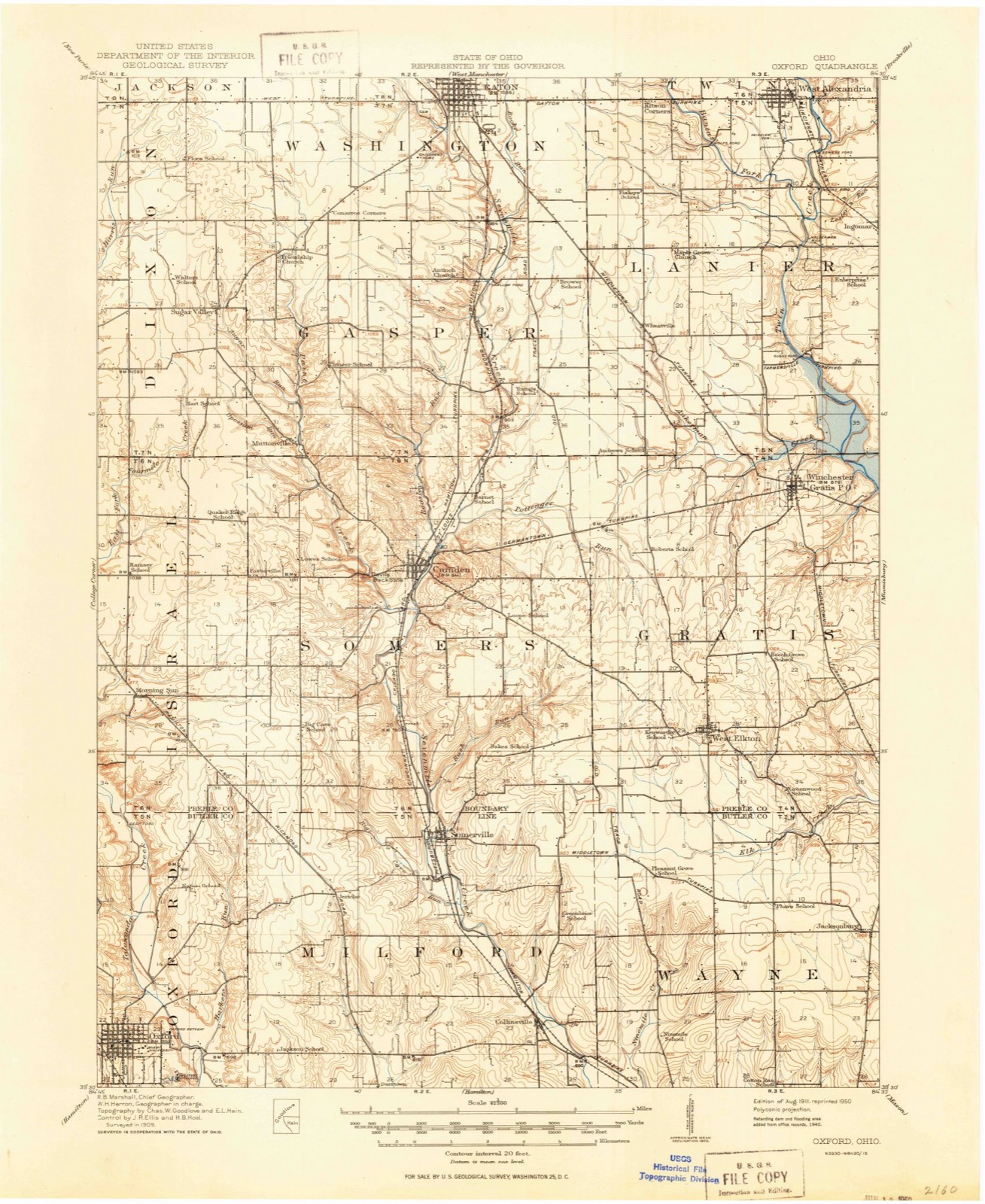
11 topographic sheets cover this place, the earliest surveyed in 1911 and the latest in 1986. It stands in Oxford Township. It lies in ZIP code area 45056. It stands on Bull Run. The Survey maps it on the Oxford quadrangle.
Then and now
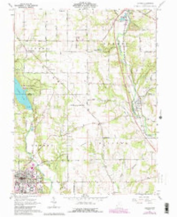
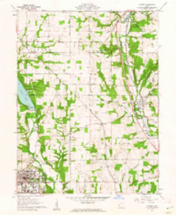
1911 to 1986The same ground, surveyed 75 years apart. Drag the handle to wipe between them. Both sheets are United States Geological Survey originals; neither has been altered.

Topographic sheets covering this place
11 sheetsMatched by testing this settlement's coordinate against the published boundary of every sheet in the United States Geological Survey's historical collection. Each opens the scanned sheet at the Survey.
- 1911 USGS Oxford quadrangle1:62500
- 1953 USGS Cincinnati quadrangle1:250000
- 1953 USGS Cincinnati quadrangle1:250000
- 1953 USGS Cincinnati quadrangle1:250000
- 1957 USGS Cincinnati quadrangle1:250000
- 1961 USGS Oxford quadrangle1:24000
- 1961 USGS Oxford quadrangle1:24000
- 1961 USGS Oxford quadrangle1:24000
- 1961 USGS Oxford quadrangle1:24000
- 1986 USGS Dayton quadrangle1:100000
- 1986 USGS Dayton quadrangle1:100000






In the county-history sources
53,483 words on this townshipA History and Biographical Cyclopædia of Butler County, Ohio : with Illustrations and Sketches of Its Representative Men and Pioneers, published 1882 names this settlement in its chapter on Oxford Township. These are the passages that mention it, exactly as the scans read.
August 5, 1811, at a session of the same commissioners, on petition of inhabitants of Milford Township, it was 'ordered, that so much of the township of Milford as lies within the following boundaries, to wit: Beginning at the northwest corner of the county of Butler; thence south with the western boundary line of the said county of Butler to the southwest corner of township numbered five in the first range east of the meridian line drawn from the mouth of the Great Miami River; thence east with the southern boundary line of the same township to the southeast corner thereof; thence north with the eastern boundary line thereof to the north boundary line of the said county of Butler; thence west with the same to the place of beginning, - shall compose a township which shall be called and known by the name of Oxford Township." Election to be held at the house of Sylvester Lyons on the 24th day of August, 1811, for the election of township officers.
Passage source: A History and Biographical Cyclopædia of Butler County, Ohio : with Illustrations and Sketches of Its Representative Men and Pioneers, published 1882.
Oxford Township presents a variety of soils and surfaces: The land is generally elevated and well. adapted to grazing, the growing of wheat, and produce of all kinds. Farms are small, and the agricultural population large for the territory embraced. With the exception of two or more sections, the land belongs to the Miami University, the trustees of that institution leasing the land for ninety-nine years, renewable forever, subject to the annual payment of a quit-rent of six per cent on the purchase money.
Passage source: A History and Biographical Cyclopædia of Butler County, Ohio : with Illustrations and Sketches of Its Representative Men and Pioneers, published 1882.
Indian Creek runs through the south-west corner of the township, and in places the banks are high and precipitous. The stream here is quite rapid, and in early times afforded many excellent mill-sites.
Passage source: A History and Biographical Cyclopædia of Butler County, Ohio : with Illustrations and Sketches of Its Representative Men and Pioneers, published 1882.
Machine-read from a century-old scan, so expect the errors a machine makes: misspelled names, dropped words, stray characters.
Read the whole chapter on Oxford Township - it names this place 181 more 181 times.
Photographs
3 photographs,Taken for the Office of War Information and the Farm Security Administration, who photographed the country between 1935 and 1944. Works of United States government photographers, with no known restriction on use. Each opens its catalogue record.

Unattributed, . Library of Congress
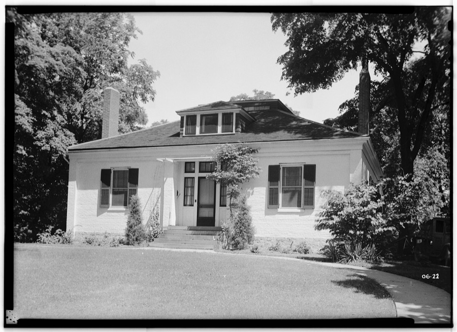
Unattributed, . Library of Congress
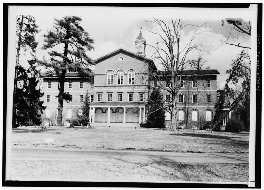
Unattributed, . Library of Congress
Specimens collected near this place
12 of 1,868 shownRegional context, not property-specific evidence. Museums hold 1,868 specimens collected within 10 miles of Oxford between 1888 and 1975: 820 Animalia, 770 Fungi, 204 Plantae, 60 Protozoa, 13 Unrecorded, 1 Chromista. 12 distinct Species records are shown. Collected by ?, A. V. J.; W. G. S., A.L.; Bucholtz, I. and others. Each is a physical object with a catalogue number, and each entry opens the museum's record. This is what was collected and kept, not a survey of what lives here - nothing can be concluded from a species being absent.
| Image | Species | Year | Collected by | Where, as recorded |
|---|---|---|---|---|
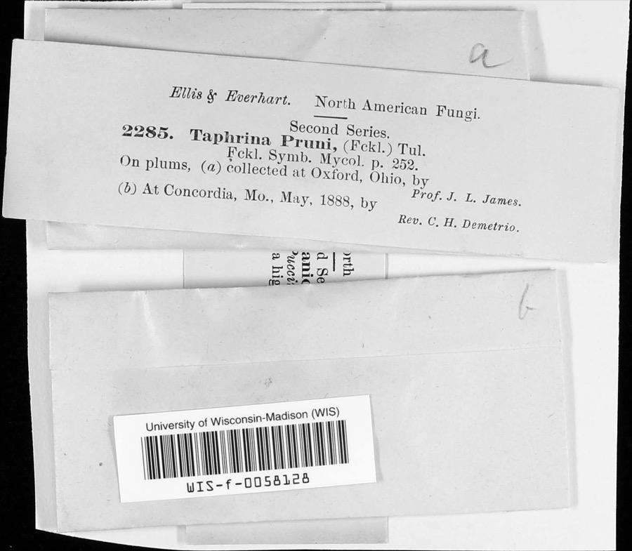 | Taphrina communis (Sadeb.) Giesenh. | 1888 | J. L. James | |
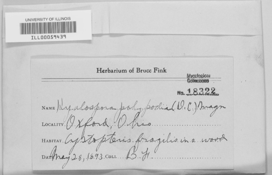 | unnamed | 1893 | B. Fink | Oxford. |
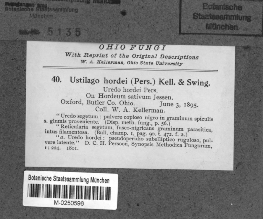 | Hordeum sativum Pers. | 1895 | Kellerman, W.A. | Oxford, Butler Co. Ohio. |
 | Taphrina pruni (Fuckel) Tul. | 1888 | J. L. James | Oxford. |
 | Xylaria polymorpha (Pers.) Grev. | 1888 | James J. F. | Oxford |
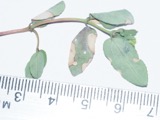 | Erysiphe euphorbiae J.R.Reddy & A.P.Reddy | 1889 | L. O. O. | Oxford |
 | Epifagus virginiana (L.) Barton | 1890 | E. E. Bogue | Oxford. |
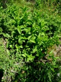 | Mentha spicata L. | 1894 | E. L. Moseley | Oxford |
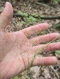 | Agrostis perennans (Walter) Tuck. | 1895 | Collector(s): Edwin Lincoln Moseley | Oxford |
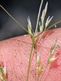 | Agrostis scabra Willd. | 1895 | Collector(s): Edwin Lincoln Moseley | Oxford |
| Gratiola virginiana L. | 1895 | Collector(s): Edwin Lincoln Moseley | Oxford | |
| Ustilago hordei (Pers.) Kell. & Sw. | 1895 | W. A. Kellerman |
All 1,868 specimens within 10 miles, at the Global Biodiversity Information Facility.
Mines and quarries near this place
1 within 5 milesRegional context, not property-specific evidence. The federal mineral resources record lists 1 working within 5 miles of Oxford: 1 plant. All of them still produce. What was taken out: Sand and Gravel, Construction. Distance is straight-line from the map coordinates, so a quarry counted here may appear on a neighbouring settlement's page as well.
| Where | Site | Commodity | Status | Recorded |
|---|---|---|---|---|
| Dingledine Pit & Plant | Sand and Gravel, Construction | Plant |
Storms near this place
42 since 1994Regional context, not property-specific evidence. The National Weather Service names Oxford in 42 storm reports between 1994 and 2024: 25 thunderstorm wind, 15 hail, 1 flash flood, 1 flood. No death or injury is recorded in these reports. Each account below is quoted exactly as the forecast office filed it, from the NOAA Storm Events Database, and each date opens the federal record of that event.
| When | Event | Place named | Harm | What the report says |
|---|---|---|---|---|
| May 1995 | Thunderstorm Wind | Oxford | $40,000 | A barn was destroyed and several trees were downed. |
| January 2008 | Thunderstorm Wind | Oxford | $10,000 | One half mile of power poles were knocked down along State Route 732. Three trees up to 12 in diameter were snapped along Reily-Millville Road. A greenhouse was blown over on US Route 27 in Hanover Township. |
| May 1999 | Thunderstorm Wind | Oxford | $10,000 | Large tree branches were broken off, landing on several houses and cars. Several trees were downed. |
| July 1998 | Thunderstorm Wind | Oxford | $10,000 | Trees downed. |
| July 2017 | Thunderstorm Wind | Oxford | $8,000 | Numerous trees were downed in the Oxford area. |
| July 2023 | Thunderstorm Wind | Oxford | $5,000 | Several trees were downed across northwest Butler County. |
| April 2017 | Thunderstorm Wind | Oxford | $5,000 | Numerous trees were knocked down in Oxford Township. |
| July 2017 | Thunderstorm Wind | Oxford | $5,000 | Numerous trees and power poles were downed along College Corner Pike. |
| June 1995 | Thunderstorm Wind | Oxford | $5,000 | Numerous trees were downed. |
| April 1994 | Thunderstorm Wind | Oxford | $5,000 | Trees and power lines down. |
| June 1994 | Thunderstorm Wind | Oxford | $5,000 | Trees were downed. |
| June 2020 | Thunderstorm Wind | Oxford | $3,000 | Several trees were reported knocked down. |
| June 2008 | Thunderstorm Wind | Oxford | $3,000 | Three to four foot diameter trees were knocked down. |
| June 2006 | Thunderstorm Wind | Oxford | $3,000 | A few trees were downed. |
| June 2005 | Thunderstorm Wind | Oxford | $3,000 | Two trees were downed near the intersections of Hamilton-Eaton and Somersville Roads. |
| May 1999 | Thunderstorm Wind | Oxford | $3,000 | Several trees and power lines were knocked down. |
| June 2016 | Thunderstorm Wind | Oxford | $2,000 | A large tree and numerous large branches were knocked down. |
| June 2009 | Thunderstorm Wind | Oxford | $2,000 | Several 12 inch diameter trees were downed. |
| June 2008 | Thunderstorm Wind | Oxford | $2,000 | Large tree limbs were knocked down. |
| July 2006 | Thunderstorm Wind | Oxford | $2,000 | Large tree limbs were downed throughout the University of Miami campus. |
| November 2013 | Thunderstorm Wind | Oxford | $1,000 | A large tree was downed on South College Avenue due to thunderstorm winds. |
| June 2008 | Hail | Oxford | $1,000 | no account filed |
| June 2008 | Hail | Oxford | $1,000 | no account filed |
| July 2023 | Thunderstorm Wind | Oxford | $100 | A 6 inch diameter tree limb was downed. |
| May 2024 | Flood | Oxford | - | High water was reported on Main Street. |
| May 2018 | Hail | Oxford | - | The hail was accompanied by winds estimated to be 50 mph. |
| July 2003 | Thunderstorm Wind | Oxford | - | Several trees were downed, blocking roads in town. |
| June 1999 | Thunderstorm Wind | Oxford | - | Measured gust to 60 mph. |
| July 1998 | Flash Flood | Oxford | - | Heavy rainfall caused several roads to flood including State Route 732. |
| June 1995 | Hail | Oxford | - | Numerous trees were downed. |
| June 2017 | Hail | Oxford | - | no account filed |
| August 2015 | Hail | Oxford | - | no account filed |
| July 2014 | Hail | Oxford | - | no account filed |
| August 2012 | Hail | Oxford | - | no account filed |
| March 2012 | Hail | Oxford | - | no account filed |
| May 2011 | Hail | Oxford | - | no account filed |
| July 2011 | Hail | Oxford | - | no account filed |
| May 2002 | Thunderstorm Wind | Oxford | - | no account filed |
| April 2001 | Hail | Oxford | - | no account filed |
| April 2001 | Hail | Oxford | - | no account filed |
| April 1995 | Hail | Oxford | - | no account filed |
| April 1995 | Hail | Oxford | - | no account filed |
Nearest settlements
The eight closest, with where each one stands in the county. Distances are straight-line, computed from the Geographic Names Information System coordinates.
| Map | Place | Distance | Sheets |
|---|---|---|---|
| McDonald (historical) | 2.4 miles | 16 | |
| Ogleton (historical) | 2.5 miles | 14 | |
| Contreras | 3.7 miles | 16 | |
| Darrtown | 4.5 miles | 14 | |
| Jericho | 4.7 miles | 11 | |
| Reily | 5.1 miles | 12 | |
| McGonigle | 5.4 miles | 14 | |
| Bunker Hill | 6.3 miles | 14 |
Provenance
This settlement is recorded in the Geographic Names Information System as feature 1044265. The sheet list is computed by point-in-boundary test against the United States Geological Survey's historical topographic inventory. Both are works of the United States government and carry no copyright under 17 U.S.C. 105.
Specimens. Global Biodiversity Information Facility (GBIF), https://www.gbif.org/. Only records licensed CC0 or CC BY are used. Records licensed CC BY-NC are excluded because this site carries advertising. Images are checked individually and any whose licence is non-commercial, no-derivatives or unreadable is refused.
Mines and quarries. USGS Mineral Resources Data System (MRDS) https://mrdata.usgs.gov/mrds/ A work of the United States government, no copyright under 17 U.S.C. 105.
Storms. NOAA National Centers for Environmental Information, Storm Events Database https://www.ncei.noaa.gov/stormevents/ A work of the United States government, no copyright under 17 U.S.C. 105. Narratives are quoted verbatim from the National Weather Service report and are not edited or summarised.