 Block
Block
Somerville, Ohio
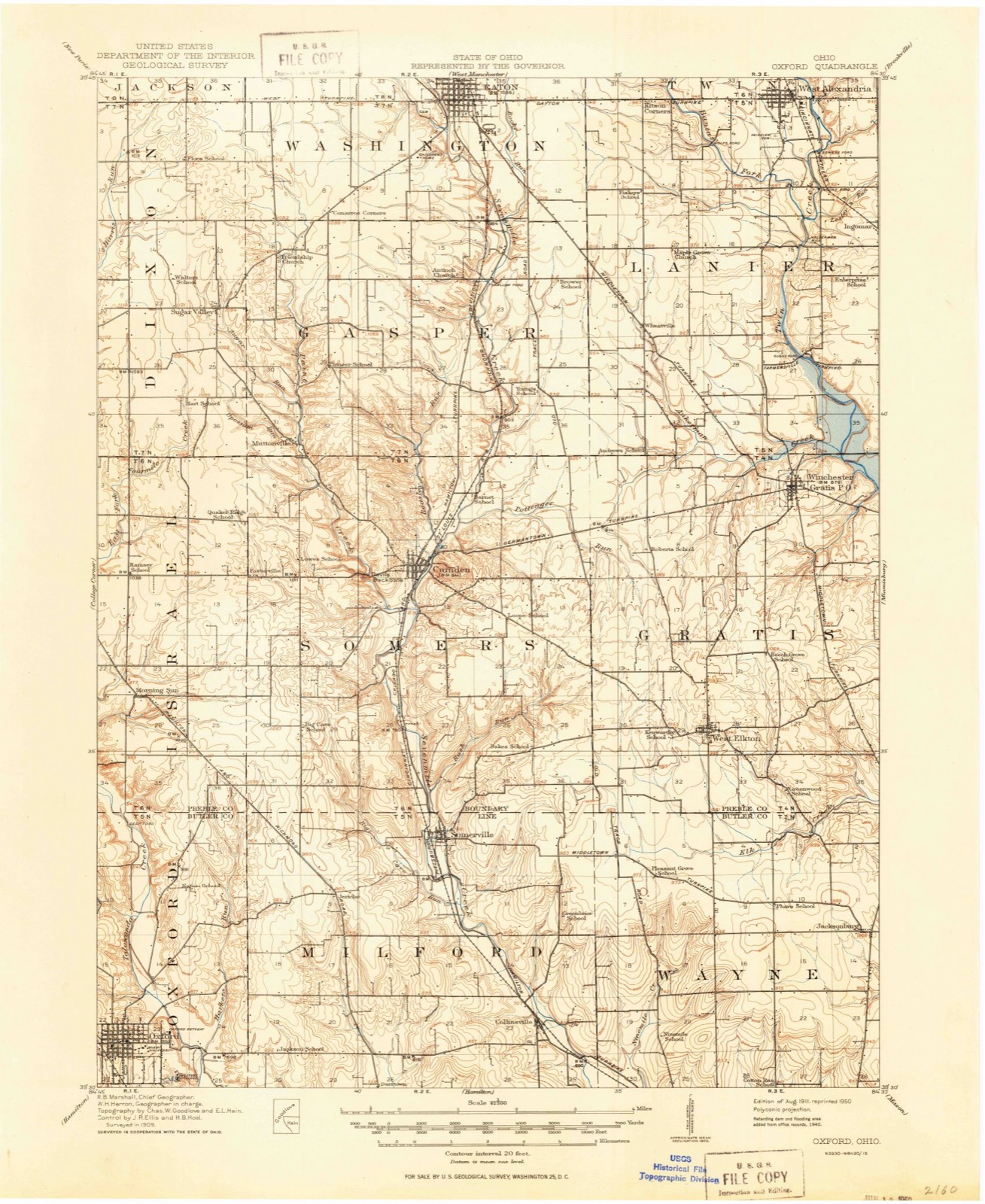
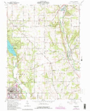
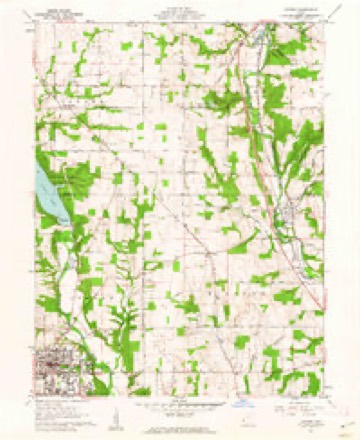
11 topographic sheets cover this place, the earliest surveyed in 1911 and the latest in 1986. It stands in Milford Township. It lies in ZIP code area 45064. It stands on Big Cave Run. The Survey maps it on the Oxford quadrangle.
Then and now
1911 to 1986The same ground, surveyed 75 years apart. Drag the handle to wipe between them. Both sheets are United States Geological Survey originals; neither has been altered.

Topographic sheets covering this place
11 sheetsMatched by testing this settlement's coordinate against the published boundary of every sheet in the United States Geological Survey's historical collection. Each opens the scanned sheet at the Survey.
- 1911 USGS Oxford quadrangle1:62500
- 1953 USGS Cincinnati quadrangle1:250000
- 1953 USGS Cincinnati quadrangle1:250000
- 1953 USGS Cincinnati quadrangle1:250000
- 1957 USGS Cincinnati quadrangle1:250000
- 1961 USGS Oxford quadrangle1:24000
- 1961 USGS Oxford quadrangle1:24000
- 1961 USGS Oxford quadrangle1:24000
- 1961 USGS Oxford quadrangle1:24000
- 1986 USGS Dayton quadrangle1:100000
- 1986 USGS Dayton quadrangle1:100000






In the county-history sources
12,534 words on this townshipThe Mound Builders : Being an Account of a Remarkable People That Once Inhabited the Valleys of the Ohio and Mississippi, Together with an Investigation Into the Archæology of Butler County, O., published 1879 names this settlement in its chapter on Milford Township. These are the passages that mention it, exactly as the scans read.
In the village of Somerville, section three, occurs a mound. It is about one hundred feet in diameter at the base. It has been cut down to within four feet of the level, a partially-graded street running over it. On giving it a hasty examination, I was in doubt as to its being an artificial construction. The exposed limestone appeared to be in the natural position. Gravel and sand enter largely into the structure. I learned that on striking the stone with a heavy substance a hollow sound
Passage source: The Mound Builders : Being an Account of a Remarkable People That Once Inhabited the Valleys of the Ohio and Mississippi, Together with an Investigation Into the Archæology of Butler County, O., published 1879.
Adam Hammerle, section nineteen, is another five feet high, evidently pk)wed over for many years. It is composed of clay, with limestone scattered through it. It is on the summit of a high hill, overlooking the city of Hamilton, the hills of SDutli and east Fairfield, and the hills to the northeast. The range of hills two miles to the southwest limits the view in that direction.
Passage source: The Mound Builders : Being an Account of a Remarkable People That Once Inhabited the Valleys of the Ohio and Mississippi, Together with an Investigation Into the Archæology of Butler County, O., published 1879.
In section nine Four Mile makes an acute bend, and projecting into it is a headland, upon the top of Avhich is the farm of William Parker. In his orchard, on the very summit, are three mounds, the largest being the southern one. It is oblong and ten feet high ; its conjugate and transverse diameters are seventy-five and one hundred and twenty feet respectively. Near the top of this mound some human bones were exhumed, and in conjunction w^th them three co})})er hatchets. Three hundred and sixty feet north of this mound is another, ten feet high by ninety feet in diameter, composed of limestone and surface material. Between these two mounds, but not in a direct line, is a small mound about four feet high.
Passage source: The Mound Builders : Being an Account of a Remarkable People That Once Inhabited the Valleys of the Ohio and Mississippi, Together with an Investigation Into the Archæology of Butler County, O., published 1879.
Machine-read from a century-old scan, so expect the errors a machine makes: misspelled names, dropped words, stray characters.
Read the whole chapter on Milford Township - it names this place 15 more 15 times.
Specimens collected near this place
12 of 1,997 shownRegional context, not property-specific evidence. Museums hold 1,997 specimens collected within 10 miles of Somerville between 1879 and 1975: 875 Fungi, 841 Animalia, 207 Plantae, 60 Protozoa, 13 Unrecorded, 1 Chromista. 12 distinct Species records are shown. Collected by ?, A. V. J.; W. G. S., A.L.; Bucholtz, I. and others. Each is a physical object with a catalogue number, and each entry opens the museum's record. This is what was collected and kept, not a survey of what lives here - nothing can be concluded from a species being absent.
| Image | Species | Year | Collected by | Where, as recorded |
|---|---|---|---|---|
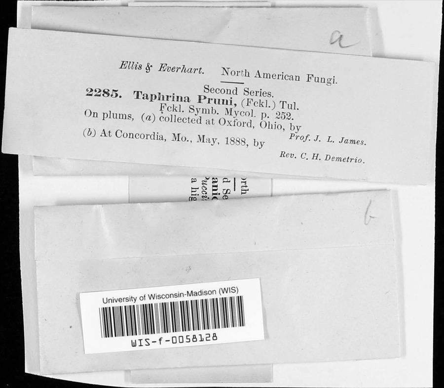 | Taphrina communis (Sadeb.) Giesenh. | 1888 | J. L. James | |
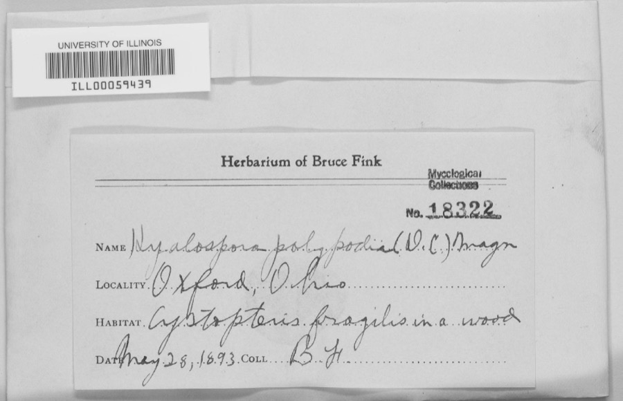 | unnamed | 1893 | B. Fink | Oxford. |
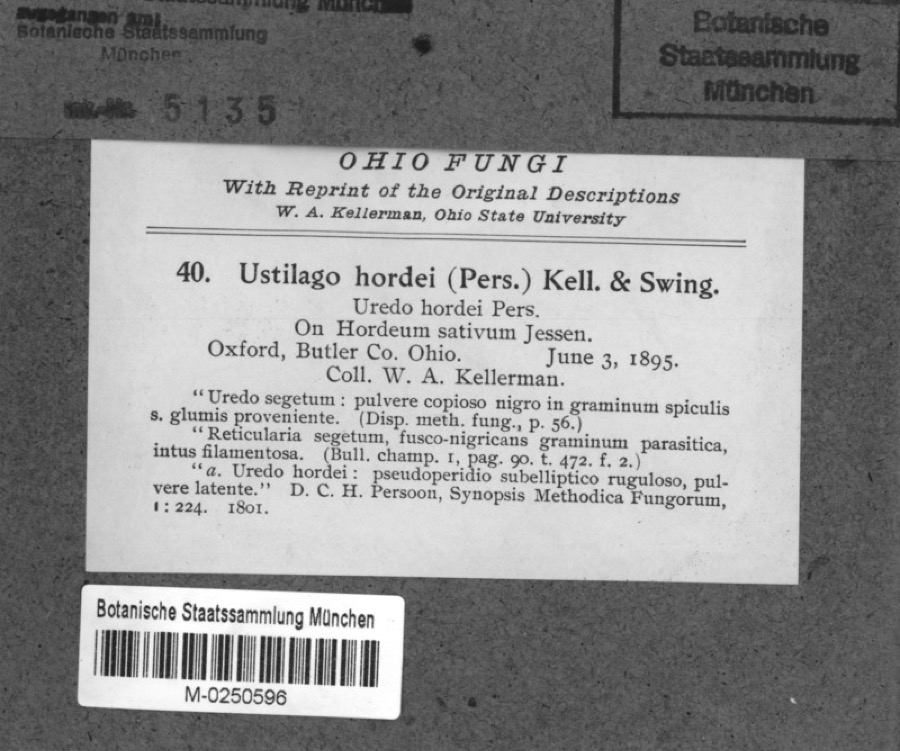 | Hordeum sativum Pers. | 1895 | Kellerman, W.A. | Oxford, Butler Co. Ohio. |
 | Spiza americana (J.F.Gmelin, 1789) | 1879 | Porter, J.B. | |
 | Tringa solitaria A.Wilson, 1813 | 1879 | Porter collection, J.B. | |
 | Charadrius semipalmatus Bonaparte, 1825 | 1880 | not recorded | |
 | Chlidonias niger (Linnaeus, 1758) | 1880 | Porter collection, J.B. | |
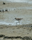 | Tringa melanoleuca (J.F.Gmelin, 1789) | 1880 | Porter collection, J.B. | |
 | Gavia immer (Brunnich, 1764) | 1881 | Porter, J.B. | |
 | Zenaida macroura (Linnaeus, 1758) | 1881 | Porter collection, J.B. | |
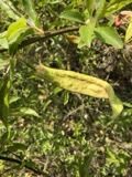 | Taphrina pruni (Fuckel) Tul. | 1888 | J. L. James | Oxford. |
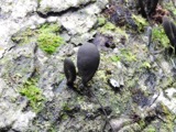 | Xylaria polymorpha (Pers.) Grev. | 1888 | James J. F. | Oxford |
All 1,997 specimens within 10 miles, at the Global Biodiversity Information Facility.
Mines and quarries near this place
1 within 5 milesRegional context, not property-specific evidence. The federal mineral resources record lists 1 working within 5 miles of Somerville: 1 plant. All of them still produce. What was taken out: Sand and Gravel, Construction. Distance is straight-line from the map coordinates, so a quarry counted here may appear on a neighbouring settlement's page as well.
| Where | Site | Commodity | Status | Recorded |
|---|---|---|---|---|
| Dingledine Pit & Plant | Sand and Gravel, Construction | Plant |
Storms near this place
5 since 2003Regional context, not property-specific evidence. The National Weather Service names Somerville in 5 storm reports between 2003 and 2023: 4 thunderstorm wind, 1 flash flood. No death or injury is recorded in these reports. Each account below is quoted exactly as the forecast office filed it, from the NOAA Storm Events Database, and each date opens the federal record of that event.
| When | Event | Place named | Harm | What the report says |
|---|---|---|---|---|
| May 2007 | Thunderstorm Wind | Somerville | $20,000 | A portion of the metal roof and a window of a barn was damaged. Minor structural damage also occurred to two adjacent smaller barns, and some siding was removed from a nearby home. A boat parked on the property sustained minor damage. large tree limbs were downed as well. |
| July 2023 | Thunderstorm Wind | Somerville | $5,000 | A few trees were downed. |
| June 2016 | Thunderstorm Wind | Somerville | $4,000 | A few trees and large limbs were knocked down. |
| April 2003 | Thunderstorm Wind | Somerville | $3,000 | Two trees were downed. |
| June 2003 | Flash Flood | Somerville | - | Several roads were flooded and closed across the northern part of the county. These included portions of US Routes 27 and 127 and State Routes 177 and 744. |
Nearest settlements
The eight closest, with where each one stands in the county. Distances are straight-line, computed from the Geographic Names Information System coordinates.
| Map | Place | Distance | Sheets |
|---|---|---|---|
| Jericho | 2.2 miles | 11 | |
| Collinsville | 3.6 miles | 9 | |
| Darrtown | 4.8 miles | 14 | |
| Oxford | 6.9 miles | 11 | |
| Seven Mile | 7.3 miles | 15 | |
| Jacksonburg | 7.4 miles | 9 | |
| McDonald (historical) | 7.7 miles | 16 | |
| Ogleton (historical) | 8.2 miles | 14 |
Provenance
This settlement is recorded in the Geographic Names Information System as feature 1065345. The sheet list is computed by point-in-boundary test against the United States Geological Survey's historical topographic inventory. Both are works of the United States government and carry no copyright under 17 U.S.C. 105.
Specimens. Global Biodiversity Information Facility (GBIF), https://www.gbif.org/. Only records licensed CC0 or CC BY are used. Records licensed CC BY-NC are excluded because this site carries advertising. Images are checked individually and any whose licence is non-commercial, no-derivatives or unreadable is refused.
Mines and quarries. USGS Mineral Resources Data System (MRDS) https://mrdata.usgs.gov/mrds/ A work of the United States government, no copyright under 17 U.S.C. 105.
Storms. NOAA National Centers for Environmental Information, Storm Events Database https://www.ncei.noaa.gov/stormevents/ A work of the United States government, no copyright under 17 U.S.C. 105. Narratives are quoted verbatim from the National Weather Service report and are not edited or summarised.