 Block
Block
Kirkwood, Ohio
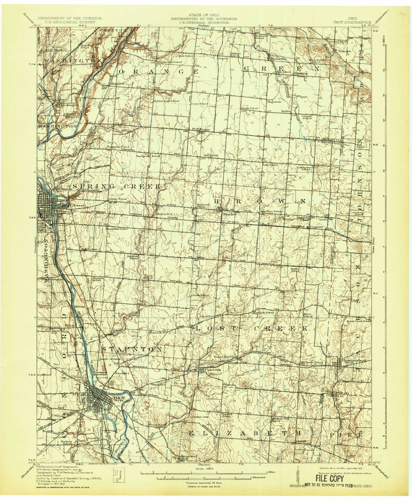
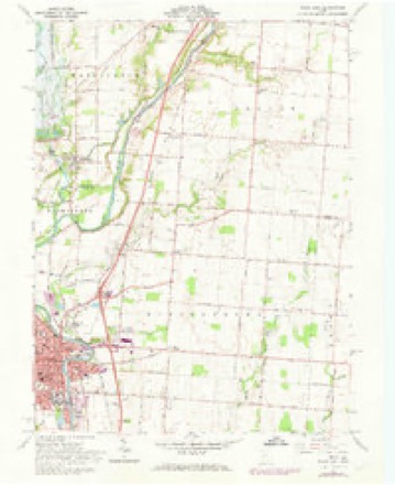
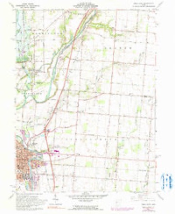
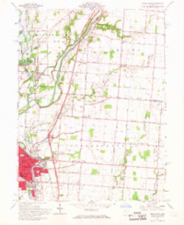
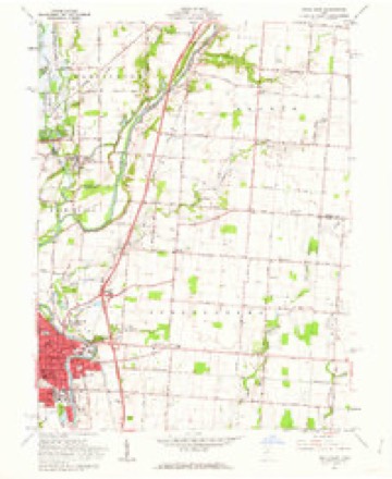
16 topographic sheets cover this place, the earliest surveyed in 1914 and the latest in 1986. It stands in Orange Township. It lies in ZIP code area 45365. It stands on Mill Branch. The Survey maps it on the Piqua East quadrangle.
Then and now
1914 to 1986The same ground, surveyed 72 years apart. Drag the handle to wipe between them. Both sheets are United States Geological Survey originals; neither has been altered.

Topographic sheets covering this place
16 sheetsMatched by testing this settlement's coordinate against the published boundary of every sheet in the United States Geological Survey's historical collection. Each opens the scanned sheet at the Survey.
- 1914 USGS Troy quadrangle1:62500
- 1914 USGS Troy quadrangle1:62500
- 1944 USGS Troy quadrangle1:62500
- 1953 USGS Muncie quadrangle1:250000
- 1953 USGS Muncie quadrangle1:250000
- 1953 USGS Muncie quadrangle1:250000
- 1953 USGS Muncie quadrangle1:250000
- 1953 USGS Muncie quadrangle1:250000
- 1956 USGS Muncie quadrangle1:250000
- 1961 USGS Piqua East quadrangle1:24000
- 1961 USGS Piqua East quadrangle1:24000
- 1961 USGS Piqua East quadrangle1:24000
- 1961 USGS Piqua East quadrangle1:24000
- 1986 USGS Piqua quadrangle1:100000
- 1986 USGS Piqua quadrangle1:100000
- 1986 USGS Piqua quadrangle1:100000









In the county-history sources
22,082 words on this townshipHistory of Shelby County, Ohio, published 1883 names this settlement in its chapter on Orange Township. These are the passages that mention it, exactly as the scans read.
It is easy to imagine what his answer would be. Give me back the days of old ; let me go back to my log-cabin home beside the Miami, where I took my youthful bride; where with empty hands, but with brave and honest hearts, we fought out the battle of life; where we knew nought of envy, strive, or pride, or any' of the evils that have arisen among you since we left. Give me the social greeting and warm sympathy that were extended from one to another, the hearty welcome given to the cabin fireside, the honest friendship of the Pioneer , and you may have all your riches and modern improvements, with the selfishness that attends them.
Passage source: History of Shelby County, Ohio, published 1883.
At a meeting held at Hardin by the Commissioners, March 7, 1820, it was ordered that all that part of Orange Township that is east of the west tier of sections in the second township of both 12th and 13th ranges be erected into a new township by the name of Green.
Passage source: History of Shelby County, Ohio, published 1883.
The plat consisted of nine lots, four by eight rods. It is located on the D. & M. R. R., six miles south of Sidney. The first building erected was by G. W. Holley in 1863. It was a small warehouse for the purchase of grain, but before commencing operations he sold to D. K. Gillespie, who enlarged the capacity and commenced buying grain in 1864. The next place of business was a store built by H. S. Gillespie & Thomas McKee in 1866. Gillespie & McKee were succeeded by J. G. & Andrew Robinson. The latter sold his interest to J. G. Robinson, who carried on the business for several years, then sold to J. L. McKee, who is the present occupant. Kirkwood contains only nine dwellings, and has about forty -five or fifty inhabitants. It has one store, one grain elevator, one blacksmith shop, one physician (J. J. Millhouse), one U. B. Church, and one school-house. There is not, perhaps, a shipping point in the county outside of Sidney that buys and ships more grain than this place.
Passage source: History of Shelby County, Ohio, published 1883.
Machine-read from a century-old scan, so expect the errors a machine makes: misspelled names, dropped words, stray characters.
Read the whole chapter on Orange Township - it names this place 7 more 7 times.
Specimens collected near this place
12 of 226 shownRegional context, not property-specific evidence. Museums hold 226 specimens collected within 10 miles of Kirkwood between 1897 and 1967: 186 Animalia, 21 Fungi, 18 Plantae, 1 Unrecorded. 12 distinct Species records are shown. Collected by A. R. Gaufin, A.R. Gaufin, A.R. Gaufin, H.H. Ross and others. Each is a physical object with a catalogue number, and each entry opens the museum's record. This is what was collected and kept, not a survey of what lives here - nothing can be concluded from a species being absent.
| Image | Species | Year | Collected by | Where, as recorded |
|---|---|---|---|---|
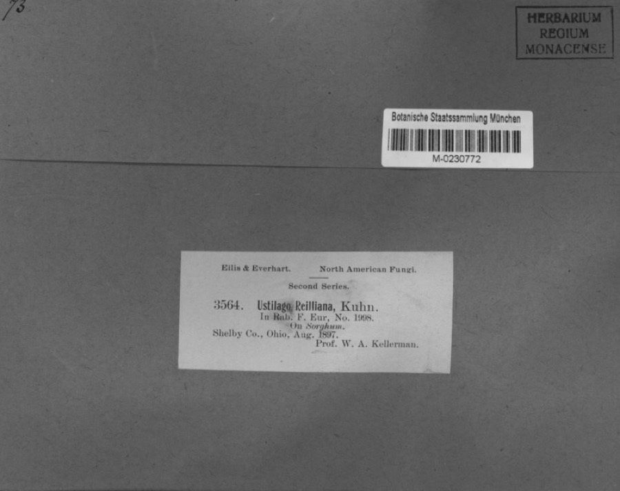 | Sorghum Moench | 1897 | Kellerman, W.A. | Shelby Co., Ohio. |
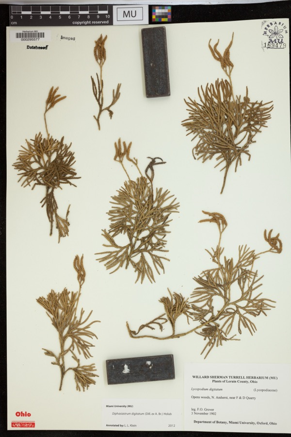 | Diphasiastrum digitatum (Dill. ex A.Braun) Holub | 1902 | Grover, F.O. | Opens woods, N. Amherst, near F & D Quarry |
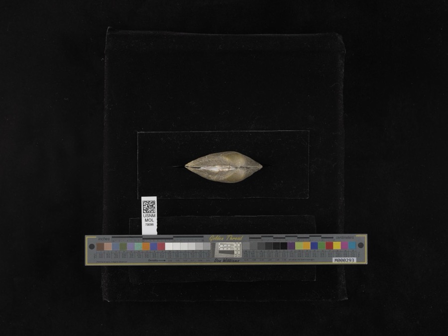 | Fusconaia flava (Rafinesque, 1820) | 1939 | not recorded | Miami River |
| unnamed | 1897 | WA Kellerman | Shelby County | |
 | Carex shortiana Dewey & Torr. | 1897 | Wetzstein, A. | |
 | Cercosporina apii (Fresen.) Miura | 1897 | Selby A. D. | Kirkwood |
| Sorosporium reilianum (J.G.Kühn) McAlpine | 1897 | W. A. Kellerman | ||
 | Sphacelotheca reiliana (J.G.Kühn) G.P.Clinton | 1897 | Kellerman W. A. | Shelby Co. |
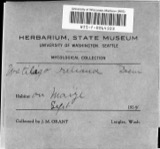 | Ustilago reiliana J.G.Kühn | 1897 | Kellerman, W.A. | Shelby County, Ohio. |
 | Accipiter cooperii (Bonaparte, 1828) | 1904 | Henninger, W. F. (Walther Frederick) | New Bremen, Shelby, Ohio, USA |
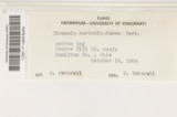 | Hirneola auricula-judae (Bull.) Berk. | 1909 | Fisher G. Clyde | Sidney |
 | Gymnosporangium juniperi-virginianae Schwein. | 1914 | Russell A. B. | Sidney |
All 226 specimens within 10 miles, at the Global Biodiversity Information Facility.
Mines and quarries near this place
10 of 14 shownRegional context, not property-specific evidence. The federal mineral resources record lists 14 workings within 5 miles of Kirkwood: 7 past producers, 6 producers, 1 plant. 7 still produce. What was taken out: Sand and Gravel, Construction, Stone, Crushed/Broken, Limestone, General. Distance is straight-line from the map coordinates, so a quarry counted here may appear on a neighbouring settlement's page as well.
| Where | Site | Commodity | Status | Recorded |
|---|---|---|---|---|
| Miami River Quarry | Limestone, General | Past Producer | Sedimentary | |
| Rock Run Quarry | Limestone, General | Past Producer | Sedimentary | |
| Miami River Stone Co. | Stone, Crushed/Broken | Producer | ||
| Rock Run Quarry | Stone, Crushed/Broken | Past Producer | ||
| Spring Creek Quarry | Stone, Crushed/Broken | Producer | ||
| Ernst Gravel Co Plant No 1 & Pit | Sand and Gravel, Construction | Producer | ||
| Morelock Pit | Sand and Gravel, Construction | Producer | ||
| Norelock Pit | Sand and Gravel, Construction | Past Producer | Sedimentary | |
| Pence Quarry | Sand and Gravel, Construction | Producer | ||
| Plant Number 2 and Pit | Sand and Gravel, Construction | Past Producer | Sedimentary |
Storms near this place
3 since 2016Regional context, not property-specific evidence. The National Weather Service names Kirkwood in 3 storm reports between 2016 and 2020: 2 thunderstorm wind, 1 flood. No death or injury is recorded in these reports. Each account below is quoted exactly as the forecast office filed it, from the NOAA Storm Events Database, and each date opens the federal record of that event.
| When | Event | Place named | Harm | What the report says |
|---|---|---|---|---|
| June 2017 | Thunderstorm Wind | Kirkwood | $1,000 | A tree was knocked down onto Schenk Road. |
| July 2016 | Thunderstorm Wind | Kirkwood | $500 | A tree was downed in the 2000 block of River Road. |
| September 2020 | Flood | Kirkwood | - | Miami River Road was closed due to high water. |
Nearest settlements
The eight closest, with where each one stands in the county. Distances are straight-line, computed from the Geographic Names Information System coordinates.
| Map | Place | Distance | Sheets |
|---|---|---|---|
| Lockington | 2.0 miles | 16 | |
| Hickory Dell Estates | 2.5 miles | 16 | |
| Newbern | 3.4 miles | 15 | |
| Depew | 4.5 miles | 15 | |
| Sidney | 5.2 miles | 15 | |
| Buckeye Terrace | 5.4 miles | 15 | |
| Lakeside Village | 5.4 miles | 15 | |
| Hardin | 5.4 miles | 15 |
Elsewhere
Matched on this settlement's Geographic Names Information System number rather than its name, so it cannot be a different place of the same name in another state.
| Wikipedia article on Kirkwood | An encyclopaedic summary. Its text is share-alike, so it is linked here rather than copied. |
| Wikidata item Q6415877 | The structured record the population and elevation above come from. Public domain (CC0). |
Provenance
This settlement is recorded in the Geographic Names Information System as feature 1064950. The sheet list is computed by point-in-boundary test against the United States Geological Survey's historical topographic inventory. Both are works of the United States government and carry no copyright under 17 U.S.C. 105.
Specimens. Global Biodiversity Information Facility (GBIF), https://www.gbif.org/. Only records licensed CC0 or CC BY are used. Records licensed CC BY-NC are excluded because this site carries advertising. Images are checked individually and any whose licence is non-commercial, no-derivatives or unreadable is refused.
Mines and quarries. USGS Mineral Resources Data System (MRDS) https://mrdata.usgs.gov/mrds/ A work of the United States government, no copyright under 17 U.S.C. 105.
Storms. NOAA National Centers for Environmental Information, Storm Events Database https://www.ncei.noaa.gov/stormevents/ A work of the United States government, no copyright under 17 U.S.C. 105. Narratives are quoted verbatim from the National Weather Service report and are not edited or summarised.