 Block
Block
Lockington, Ohio
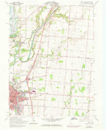
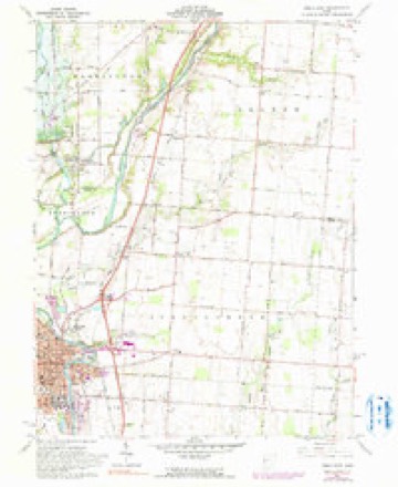
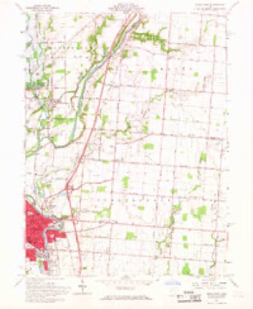
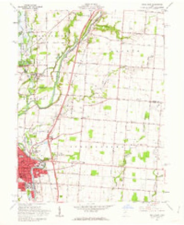
16 topographic sheets cover this place, the earliest surveyed in 1914 and the latest in 1986. It stands in Washington Township. It lies in ZIP code area 45356. It stands on Mill Creek. The Survey maps it on the Piqua East quadrangle. 162 people lived here at the 2020 count. It stands 948 feet above sea level.
Population over time
2 figuresLockington grew from 141 to 162 between 2010 and 2020. These are the recorded population figures Wikidata holds for this place, reached through the Geographic Names Information System number this page is keyed on rather than by name, so they belong to this place and not to another of the same name. Most are census counts, but not all are: an early figure may be a founding or settlement estimate. The change column is computed, and is left blank where more than 20 years separate a figure from the one before it, because a gap that long is not a change between two counts.
| Year | People | Change |
|---|---|---|
| 2010 | 141 | |
| 2020 | 162 | +21 (+15%) |
Then and now
1914 to 1986The same ground, surveyed 72 years apart. Drag the handle to wipe between them. Both sheets are United States Geological Survey originals; neither has been altered.

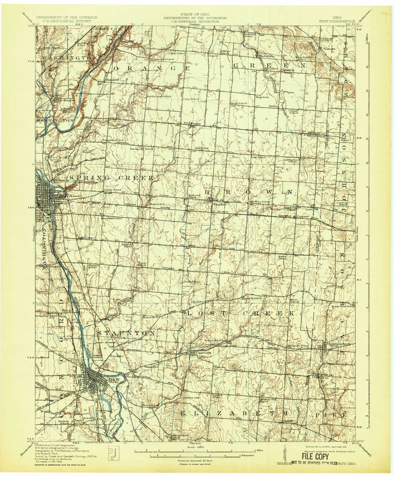
Topographic sheets covering this place
16 sheetsMatched by testing this settlement's coordinate against the published boundary of every sheet in the United States Geological Survey's historical collection. Each opens the scanned sheet at the Survey.
- 1914 USGS Troy quadrangle1:62500
- 1914 USGS Troy quadrangle1:62500
- 1944 USGS Troy quadrangle1:62500
- 1953 USGS Muncie quadrangle1:250000
- 1953 USGS Muncie quadrangle1:250000
- 1953 USGS Muncie quadrangle1:250000
- 1953 USGS Muncie quadrangle1:250000
- 1953 USGS Muncie quadrangle1:250000
- 1956 USGS Muncie quadrangle1:250000
- 1961 USGS Piqua East quadrangle1:24000
- 1961 USGS Piqua East quadrangle1:24000
- 1961 USGS Piqua East quadrangle1:24000
- 1961 USGS Piqua East quadrangle1:24000
- 1986 USGS Piqua quadrangle1:100000
- 1986 USGS Piqua quadrangle1:100000
- 1986 USGS Piqua quadrangle1:100000









In the county-history sources
1,680 words on this townshipHistory of Shelby County, Ohio, and Representative Citizens, published 1913 names this settlement in its chapter on Washington Township. These are the passages that mention it, exactly as the scans read.
This township was originally named Grayson, by Col. Jesse Wilson, in honor of his native county in Virginia. The township was settled many years before its organization in 1825. The petition for organization was filed with the commissioners in March of that year, and an election of officers was called for April at the home of Joseph Stewart. The election was postponed until September of that year, however, owing to an appeal being taken to the common pleas court on the creation of the township. The township was created from parts of Loramie, Turtle Creek and Clinton townships, and is a small township, containing twenty-five square miles, but is possibly the best watered and drained in Shelby county. The Miami river forms nearly all of the township's east border line, besides which it is penetrated by Loramie creek, Turtle creek and numerous smaller streams. The Miami and Erie canal with it feeder crosses the township. The feeder enters the canal at Lockington, the summit of the canal, from which point water flowed both ways. It was a highly important point in the active days of the canal and of distinguishing characteristics. The Big Four railroad crosses the township along the north boundary and affords transportation facilities.
Passage source: History of Shelby County, Ohio, and Representative Citizens, published 1913.
The settlement of what now is Washington township antedates that of any other part of the county, at least James Thatcher, who made actual settlement in the northwest part of the township in 1805, is generally accredited with being the first to take up permanent residence here. The following year, John, Joseph and David Mellinger took up their abode near the present village of Lockington, and Thomas Earl also came in 1806. In that early period, new arrivals were few and far between, but from the meagre facts available, it is fairly certain that John Wilson settled along the bank of Turtle creek in 1807; Samuel Marshall came in 1808; Samuel McClure in 1810; the Lenox brothers, Richard, James and John, came in 181 1. The manner of life they led, the hardships and privations, also their homely pleasures, are handed down in the history and traditions of every newly developed community. That they were men of the right type, brave and hardy spirits, has been demonstrated by their accomplishments as well as those of their progeny, in the years that have intervened. Julia Ann Lenox, daughter of Richard Lenox and afterward wife of William Stephens, has always been accorded the honor of being the first white child born in Washington township. The first marriage is supposed to have been that of William Manning and Ruth Julian. In 181 6, John Wilson built a brick house, the first of that construction here, and the first sawmill in the township or county was that of Samuel Marshall on Turtle creek.
Passage source: History of Shelby County, Ohio, and Representative Citizens, published 1913.
The Methodist Episcopal denomination was active here long before a church was built. We find missionaries of that faitli visiting the community at the very earliest settlement. How ever it was' some few years before there were any regularly organized societies. Even then they met for worship first in one cabin and another until they were somewhat more firmly established. No records being kept, such knowledge as we have of the church in those pioneer days has come through the vale of years by word of mouth. In 1825 or thereabout, a class consisting of James Thompson and wife. Jane Thompson, Joseph Caldwell and wife, Jane Patterson, Thomas Plummer and Amos Travers, was organized at the home of James Thompson, who was the first class leader. After some years meetings were held at the home of John Legg. upon whose property the society built a hewed log church building in 1838. dedicating it as Ebenezer church. The church held its own for many years. but as other more conveniently located churches became established, inroads were made upon its membership until in 1872 it ceased to exist, most of the members joining the Lockington body.
Passage source: History of Shelby County, Ohio, and Representative Citizens, published 1913.
Machine-read from a century-old scan, so expect the errors a machine makes: misspelled names, dropped words, stray characters.
Read the whole chapter on Washington Township - it names this place 7 more 7 times.
Photographs
2 photographs,Taken for the Office of War Information and the Farm Security Administration, who photographed the country between 1935 and 1944. Works of United States government photographers, with no known restriction on use. Each opens its catalogue record.
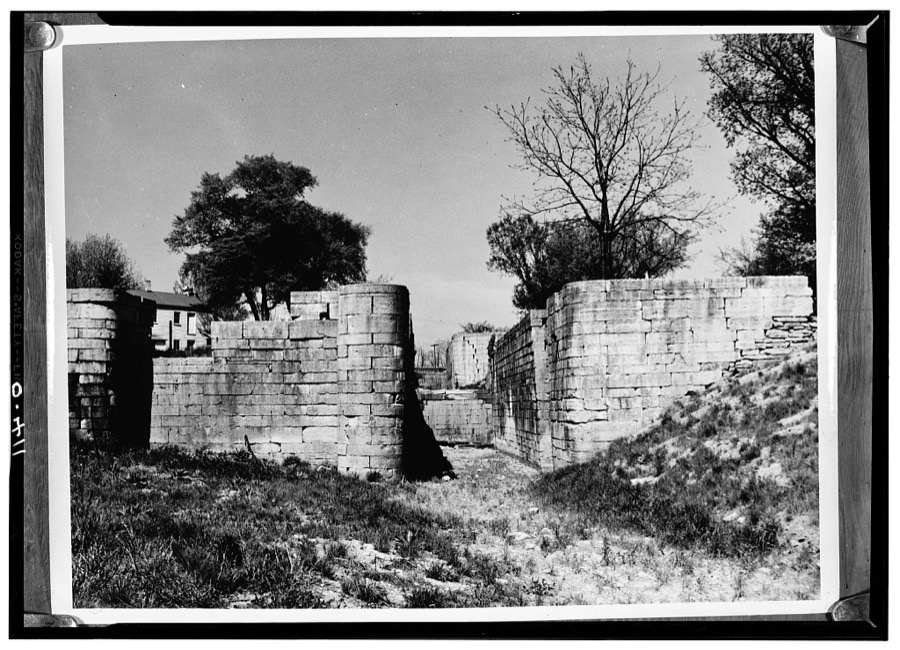
Unattributed, . Library of Congress
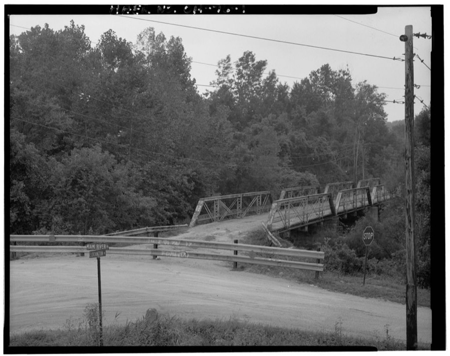
Unattributed, . Library of Congress
Specimens collected near this place
12 of 253 shownRegional context, not property-specific evidence. Museums hold 253 specimens collected within 10 miles of Lockington between 1897 and 1967: 186 Animalia, 40 Fungi, 26 Plantae, 1 Unrecorded. 12 distinct Species records are shown. Collected by A. R. Gaufin, A.R. Gaufin, A.R. Gaufin, H.H. Ross and others. Each is a physical object with a catalogue number, and each entry opens the museum's record. This is what was collected and kept, not a survey of what lives here - nothing can be concluded from a species being absent.
| Image | Species | Year | Collected by | Where, as recorded |
|---|---|---|---|---|
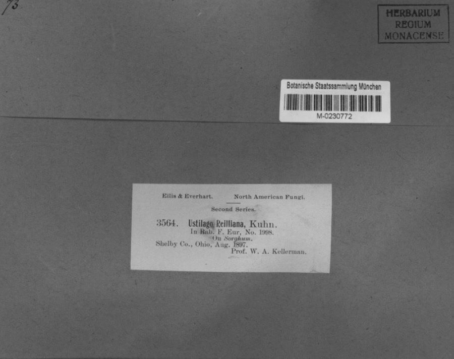 | Sorghum Moench | 1897 | Kellerman, W.A. | Shelby Co., Ohio. |
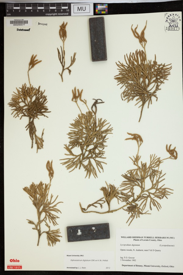 | Diphasiastrum digitatum (Dill. ex A.Braun) Holub | 1902 | Grover, F.O. | Opens woods, N. Amherst, near F & D Quarry |
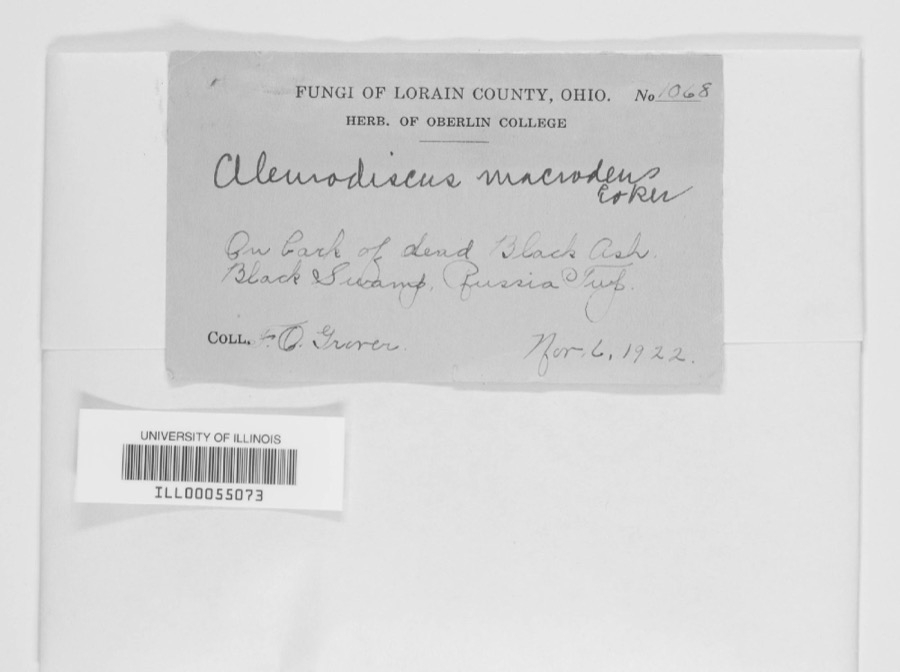 | Aleurodiscus macrodens Coker | 1922 | F.O. Grover | Black Swamp, Russia Twp. |
| unnamed | 1897 | WA Kellerman | Shelby County | |
 | Carex shortiana Dewey & Torr. | 1897 | Wetzstein, A. | |
 | Cercosporina apii (Fresen.) Miura | 1897 | Selby A. D. | Kirkwood |
| Sorosporium reilianum (J.G.Kühn) McAlpine | 1897 | W. A. Kellerman | ||
 | Sphacelotheca reiliana (J.G.Kühn) G.P.Clinton | 1897 | Kellerman W. A. | Shelby Co. |
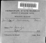 | Ustilago reiliana J.G.Kühn | 1897 | Kellerman, W.A. | Shelby County, Ohio. |
 | Accipiter cooperii (Bonaparte, 1828) | 1904 | Henninger, W. F. (Walther Frederick) | New Bremen, Shelby, Ohio, USA |
 | Ameiurus natalis (Lesueur, 1819) | 1905 | Clark, C. F. (Clarence F.) | Loramie Creek, Sec 30 of Cynthian township, ~0.3 mi SW of Newport, Cynthian township |
 | Campostoma anomalum anomalum | 1905 | Clark, C. F. (Clarence F.) | Loramie Creek, Sec 30 of Cynthian township, ~0.3 mi SW of Newport, Cynthian township |
All 253 specimens within 10 miles, at the Global Biodiversity Information Facility.
Mines and quarries near this place
10 of 12 shownRegional context, not property-specific evidence. The federal mineral resources record lists 12 workings within 5 miles of Lockington: 6 past producers, 6 producers. 6 still produce. What was taken out: Sand and Gravel, Construction, Stone, Crushed/Broken, Limestone, General. Distance is straight-line from the map coordinates, so a quarry counted here may appear on a neighbouring settlement's page as well.
| Where | Site | Commodity | Status | Recorded |
|---|---|---|---|---|
| Miami River Quarry | Limestone, General | Past Producer | Sedimentary | |
| Rock Run Quarry | Limestone, General | Past Producer | Sedimentary | |
| Miami River Stone Co. | Stone, Crushed/Broken | Producer | ||
| Rock Run Quarry | Stone, Crushed/Broken | Past Producer | ||
| Spring Creek Quarry | Stone, Crushed/Broken | Producer | ||
| Ernst Gravel Co Plant No 1 & Pit | Sand and Gravel, Construction | Producer | ||
| Morelock Pit | Sand and Gravel, Construction | Producer | ||
| Norelock Pit | Sand and Gravel, Construction | Past Producer | Sedimentary | |
| Pence Quarry | Sand and Gravel, Construction | Producer | ||
| Spring Creek Quarry | Sand and Gravel, Construction | Producer |
Storms near this place
4 since 1999Regional context, not property-specific evidence. The National Weather Service names Lockington in 4 storm reports between 1999 and 2023: 3 thunderstorm wind, 1 flood. No death or injury is recorded in these reports. Each account below is quoted exactly as the forecast office filed it, from the NOAA Storm Events Database, and each date opens the federal record of that event.
| When | Event | Place named | Harm | What the report says |
|---|---|---|---|---|
| July 1999 | Thunderstorm Wind | Lockington | $3,000 | Several trees downed. |
| December 2007 | Thunderstorm Wind | Lockington | $2,000 | Several large tree limbs were downed in the 8000 block of Houston Road. |
| July 2017 | Thunderstorm Wind | Lockington | $1,000 | A tree was downed near the intersection of North Hardin Road and Landman Mill Road. |
| March 2023 | Flood | Lockington | - | High water was reported in the intersection of Fessler-Buxton and Hardin Roads. |
Nearest settlements
The eight closest, with where each one stands in the county. Distances are straight-line, computed from the Geographic Names Information System coordinates.
| Map | Place | Distance | Sheets |
|---|---|---|---|
| Kirkwood | 2.0 miles | 16 | |
| Newbern | 3.0 miles | 15 | |
| Hickory Dell Estates | 4.4 miles | 16 | |
| Hardin | 5.4 miles | 15 | |
| Mount Jefferson | 5.8 miles | 15 | |
| Dawson | 5.8 miles | 14 | |
| Houston | 6.3 miles | 14 | |
| Lakeside Village | 6.5 miles | 15 |
Elsewhere
Matched on this settlement's Geographic Names Information System number rather than its name, so it cannot be a different place of the same name in another state.
| Wikipedia article on Lockington | An encyclopaedic summary. Its text is share-alike, so it is linked here rather than copied. |
| Wikidata item Q1867781 | The structured record the population and elevation above come from. Public domain (CC0). |
Provenance
This settlement is recorded in the Geographic Names Information System as feature 1065016. The sheet list is computed by point-in-boundary test against the United States Geological Survey's historical topographic inventory. Both are works of the United States government and carry no copyright under 17 U.S.C. 105.
Specimens. Global Biodiversity Information Facility (GBIF), https://www.gbif.org/. Only records licensed CC0 or CC BY are used. Records licensed CC BY-NC are excluded because this site carries advertising. Images are checked individually and any whose licence is non-commercial, no-derivatives or unreadable is refused.
Mines and quarries. USGS Mineral Resources Data System (MRDS) https://mrdata.usgs.gov/mrds/ A work of the United States government, no copyright under 17 U.S.C. 105.
Storms. NOAA National Centers for Environmental Information, Storm Events Database https://www.ncei.noaa.gov/stormevents/ A work of the United States government, no copyright under 17 U.S.C. 105. Narratives are quoted verbatim from the National Weather Service report and are not edited or summarised.