 Block
Block
Lafayette, Ohio
13 topographic sheets cover this place, the earliest surveyed in 1907 and the latest in 1986. It stands in Jackson Township. It lies in ZIP code area 45854. It stands on Little Hog Creek. The Survey maps it on the Beaverdam quadrangle. 406 people lived here at the 2020 count. It stands 928 feet above sea level.
Population over time
2 figuresLafayette fell from 445 to 406 between 2010 and 2020. These are the recorded population figures Wikidata holds for this place, reached through the Geographic Names Information System number this page is keyed on rather than by name, so they belong to this place and not to another of the same name. Most are census counts, but not all are: an early figure may be a founding or settlement estimate. The change column is computed, and is left blank where more than 20 years separate a figure from the one before it, because a gap that long is not a change between two counts.
| Year | People | Change |
|---|---|---|
| 2010 | 445 | |
| 2020 | 406 | -39 (-9%) |
Then and now
1907 to 1986The same ground, surveyed 79 years apart. Drag the handle to wipe between them. Both sheets are United States Geological Survey originals; neither has been altered.

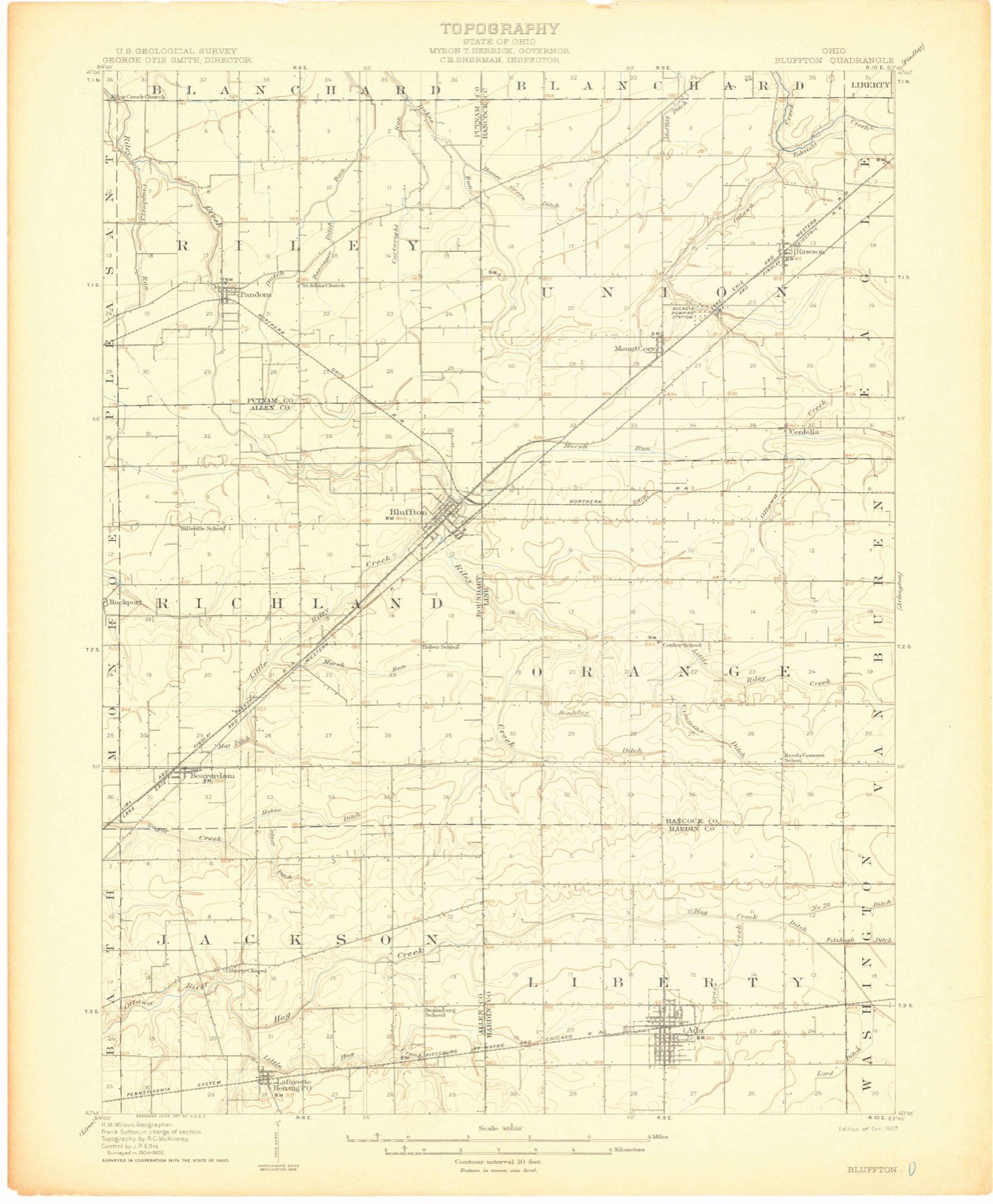
Topographic sheets covering this place
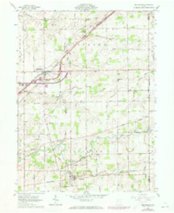
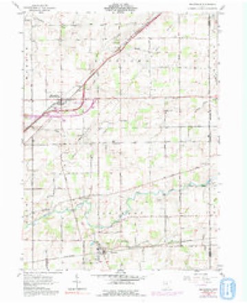
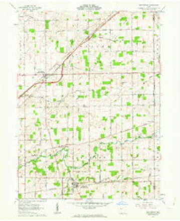
13 sheetsMatched by testing this settlement's coordinate against the published boundary of every sheet in the United States Geological Survey's historical collection. Each opens the scanned sheet at the Survey.
- 1907 USGS Bluffton quadrangle1:62500
- 1907 USGS Bluffton quadrangle1:62500
- 1907 USGS Bluffton quadrangle1:62500
- 1950 USGS Marion quadrangle1:250000
- 1961 USGS Beaverdam quadrangle1:24000
- 1961 USGS Beaverdam quadrangle1:24000
- 1961 USGS Beaverdam quadrangle1:24000
- 1962 USGS Marion quadrangle1:250000
- 1966 USGS Marion quadrangle1:250000
- 1966 USGS Marion quadrangle1:250000
- 1966 USGS Marion quadrangle1:250000
- 1986 USGS Marion quadrangle1:100000
- 1986 USGS Marion quadrangle1:100000







In the county-history sources
97,694 words on this townshipHistory of Allen County, Ohio. Containing a History of the County, Its Townships, Towns, Villages, Schools, Churches, Industries, Etc; Portraits of Early Settlers and Prominent Men; Biographies; History of the Northwest Territory; History of Ohio; Statistical and Miscellaneous Matter, Etc., Etc, published 1885 names this settlement in its chapter on Jackson Township. These are the passages that mention it, exactly as the scans read.
In 1833, a sohoolboase was erected on Section 24, where Thomas Hall taught school. Opposed to this is the statement of Mrs. Nancy Ann (Vincent) Cunningham, that she presided o^er the first school, District No. 6, in 1838, and in 1839 taught school in a deserted cabin east of the site of the present village of Lafayette. She further states that her father's (William Vincent) house was generally used for religious meetings, there being neither school nor church buildings in the town in 1837, nor even for some years later. The school statistics give the following facts regarding the township schools : The receipts in 1884 were $7,616.48, against $5,488.54 expended. There are eleven school buildings, two of which were erected in 1884. The enrollment is 444 - 240 boys and 204 girls. The statistics of the Lafayette Special District are as follows : The receipts for 1884 were $996.42 ; expenditures, $706.33. The number of pupils enrolled is 93 - 48 boys and 45 girls. Two male teachers presided in 1884.
Passage source: History of Allen County, Ohio. Containing a History of the County, Its Townships, Towns, Villages, Schools, Churches, Industries, Etc; Portraits of Early Settlers and Prominent Men; Biographies; History of the Northwest Territory; History of Ohio; Statistical and Miscellaneous Matter, Etc., Etc, published 1885.
Lafayette, in Section 28, Jackson Township, is a village laid out in regular blocks. It was platted by William B. Weyer. The original town comprises the tract north of Sugar street, extending from a point just west of Church street to the eastern boundary, all north of the P., Ft. W. & C. R. R Weyer's Western and Southern Additions and Craig's Eastern Additions all bounded south by Jefiferson street, together with the First Addition to original town, comer of Sugar and High streets, comprise the village of the present time. The very name is an index to the character of the people. It was selected to perpetuate a great and useful name in the midst of the wilderness, and to be a lesson in itself to the youth who would grow up here.
Passage source: History of Allen County, Ohio. Containing a History of the County, Its Townships, Towns, Villages, Schools, Churches, Industries, Etc; Portraits of Early Settlers and Prominent Men; Biographies; History of the Northwest Territory; History of Ohio; Statistical and Miscellaneous Matter, Etc., Etc, published 1885.
In 1851 the first quarterly meeting ivaslield. Lafayette Circuit was established in 1858. W. A. Baker, Chaplain Forty-sixth Ohio Lif antry appointed in 1861, died August 25, 1862. During this year also the war and anti-war parties credited much trouble within the church. Li 1867 Liberty Chapel was made a regular appointment. The brick house of worship was erected during Mr. Miller's first term. In 1876 the brick house of worship at Salem was erected and dedicated June 4, that year.
Passage source: History of Allen County, Ohio. Containing a History of the County, Its Townships, Towns, Villages, Schools, Churches, Industries, Etc; Portraits of Early Settlers and Prominent Men; Biographies; History of the Northwest Territory; History of Ohio; Statistical and Miscellaneous Matter, Etc., Etc, published 1885.
Machine-read from a century-old scan, so expect the errors a machine makes: misspelled names, dropped words, stray characters.
Read the whole chapter on Jackson Township - it names this place 30 more 30 times.
Specimens collected near this place
12 of 245 shownRegional context, not property-specific evidence. Museums hold 245 specimens collected within 10 miles of Lafayette between 1893 and 1975: 225 Animalia, 19 Fungi, 1 Plantae. 12 distinct Species records are shown. Collected by Adler, K. K., Amstutz, K., Bezdek, H. and others. Each is a physical object with a catalogue number, and each entry opens the museum's record. This is what was collected and kept, not a survey of what lives here - nothing can be concluded from a species being absent.
| Image | Species | Year | Collected by | Where, as recorded |
|---|---|---|---|---|
 | Mycena corticalis A.H.Sm. | 1941 | L. O. Gratz | Bluffton |
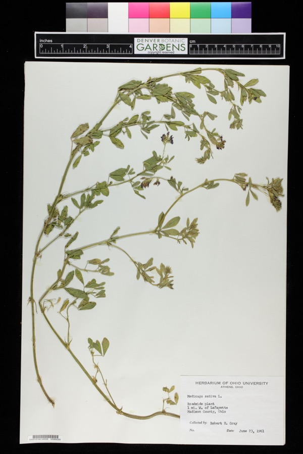 | Medicago sativa L. | 1961 | Robert H. Gray | 1 mile west of Lafayette. |
 | Etheostoma spectabile (Agassiz, 1854) | 1893 | PH Kirsch | Sugar Creek, 2 miles north of Lima; Maumee River dr. |
 | Lepomis cyanellus Rafinesque, 1819 | 1893 | P. Kirsch | Lost Creek, Lima, Ohio |
 | Lithobates pipiens (Schreber, 1782) | 1893 | not recorded | Lima, Sugar Creek |
 | Nerodia sipedon (Linnaeus, 1758) | 1893 | not recorded | Lima, Sugar Creek |
 | Regina septemvittata (Say, 1825) | 1893 | not recorded | Lima, Sugar Creek |
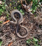 | Thamnophis sirtalis (Linnaeus, 1758) | 1893 | not recorded | Lima, Sugar Creek |
 | Amanita frostiana (Peck) Sacc. | 1902 | C. W. Dawson | Lima |
 | Amanita rubescens Pers. | 1902 | C. W. Dawson | Lima |
 | Amanita vaginata (Bull.) Lam. | 1902 | C. W. Dawson | Lima |
 | Flammula sapinea (Fr.) P.Kumm. | 1902 | C. W. Dawson | Lima |
All 245 specimens within 10 miles, at the Global Biodiversity Information Facility.
Mines and quarries near this place
2 within 5 milesRegional context, not property-specific evidence. The federal mineral resources record lists 2 workings within 5 miles of Lafayette: 1 past producer, 1 producer. 1 still produces. What was taken out: Limestone, General, Stone, Crushed/Broken. Distance is straight-line from the map coordinates, so a quarry counted here may appear on a neighbouring settlement's page as well.
| Where | Site | Commodity | Status | Recorded |
|---|---|---|---|---|
| Western Ohio Stone Co. Quarry No. 2 | Limestone, General | Past Producer | Sedimentary | |
| Western Ohio Stone Co. Quarry No. 2 | Stone, Crushed/Broken | Producer |
Storms near this place
7 since 1997Regional context, not property-specific evidence. The National Weather Service names Lafayette in 7 storm reports between 1997 and 2023: 3 thunderstorm wind, 3 hail, 1 tornado. No death or injury is recorded in these reports. Each account below is quoted exactly as the forecast office filed it, from the NOAA Storm Events Database, and each date opens the federal record of that event.
| When | Event | Place named | Harm | What the report says |
|---|---|---|---|---|
| May 1997 | Thunderstorm Wind | Lafayette | $25,000 | Several barns were damaged or destroyed and numerous trees and power lines were downed. |
| April 2023 | Tornado (EF0) | Lafayette | - | A tornado touched down on McClure Road, south of Ada Rd and|tracked northeast across Fisher Road before weakening. 2 barns as|well as several trees were damaged. Maximum winds were estimated|at 85 mph with a maximum width of 75 yards. |
| June 2011 | Thunderstorm Wind | Lafayette | - | Emergency management officials reported trees and power lines down. |
| June 2011 | Hail | Lafayette | - | Emergency management officials reported hail slightly larger than one inch at the intersection of Cool and Sandusky Roads. |
| June 2007 | Hail | Lafayette | - | Hail ranged in size from half dollar to golf ball size. |
| June 2005 | Thunderstorm Wind | Lafayette | - | A few trees were reported down near Lafayette. |
| April 2017 | Hail | Lafayette | - | no account filed |
Nearest settlements
The eight closest, with where each one stands in the county. Distances are straight-line, computed from the Geographic Names Information System coordinates.
| Map | Place | Distance | Sheets |
|---|---|---|---|
| Harrod | 4.0 miles | 16 | |
| Maysville | 4.1 miles | 16 | |
| Westminster | 4.9 miles | 16 | |
| Eastwood Estates | 5.2 miles | 15 | |
| Beaver Dam Station | 5.2 miles | 13 | |
| Beaverdam | 5.3 miles | 13 | |
| Slabtown | 5.8 miles | 15 | |
| Country Estates | 6.7 miles | 15 |
Elsewhere
Matched on this settlement's Geographic Names Information System number rather than its name, so it cannot be a different place of the same name in another state.
| Wikipedia article on Lafayette | An encyclopaedic summary. Its text is share-alike, so it is linked here rather than copied. |
| Wikidata item Q2309209 | The structured record the population and elevation above come from. Public domain (CC0). |
Provenance
This settlement is recorded in the Geographic Names Information System as feature 1056388. The sheet list is computed by point-in-boundary test against the United States Geological Survey's historical topographic inventory. Both are works of the United States government and carry no copyright under 17 U.S.C. 105.
Specimens. Global Biodiversity Information Facility (GBIF), https://www.gbif.org/. Only records licensed CC0 or CC BY are used. Records licensed CC BY-NC are excluded because this site carries advertising. Images are checked individually and any whose licence is non-commercial, no-derivatives or unreadable is refused.
Mines and quarries. USGS Mineral Resources Data System (MRDS) https://mrdata.usgs.gov/mrds/ A work of the United States government, no copyright under 17 U.S.C. 105.
Storms. NOAA National Centers for Environmental Information, Storm Events Database https://www.ncei.noaa.gov/stormevents/ A work of the United States government, no copyright under 17 U.S.C. 105. Narratives are quoted verbatim from the National Weather Service report and are not edited or summarised.