 Block
Block
Westminster, Ohio
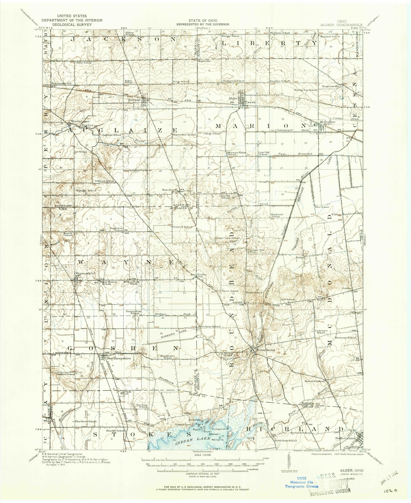
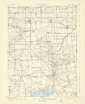
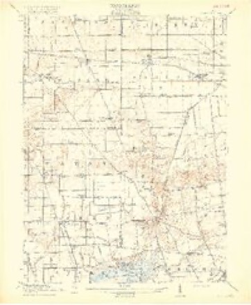
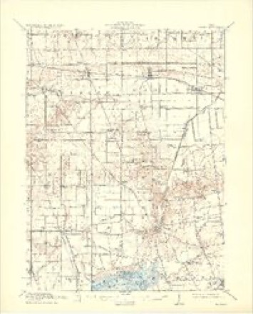
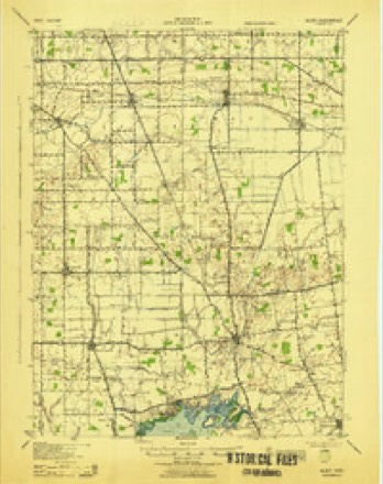
16 topographic sheets cover this place, the earliest surveyed in 1913 and the latest in 1986. It stands in Auglaize Township. It lies in ZIP code area 45850. The Survey maps it on the Harrod quadrangle.
Then and now
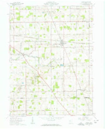
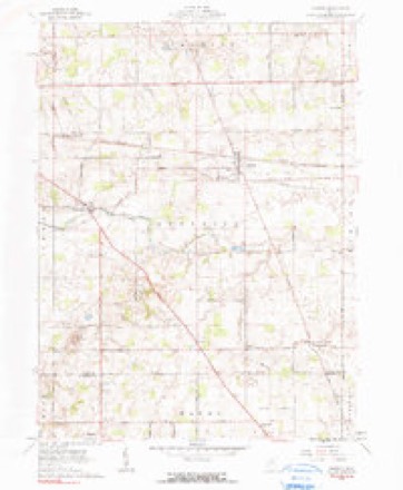
1913 to 1986The same ground, surveyed 73 years apart. Drag the handle to wipe between them. Both sheets are United States Geological Survey originals; neither has been altered.

Topographic sheets covering this place
16 sheetsMatched by testing this settlement's coordinate against the published boundary of every sheet in the United States Geological Survey's historical collection. Each opens the scanned sheet at the Survey.
- 1913 USGS Alger quadrangle1:62500
- 1913 USGS Alger quadrangle1:48000
- 1915 USGS Alger quadrangle1:62500
- 1915 USGS Alger quadrangle1:62500
- 1915 USGS Alger quadrangle1:62500
- 1915 USGS Alger quadrangle1:62500
- 1943 USGS Alger quadrangle1:62500
- 1950 USGS Marion quadrangle1:250000
- 1961 USGS Harrod quadrangle1:24000
- 1961 USGS Harrod quadrangle1:24000
- 1962 USGS Marion quadrangle1:250000
- 1966 USGS Marion quadrangle1:250000
- 1966 USGS Marion quadrangle1:250000
- 1966 USGS Marion quadrangle1:250000
- 1986 USGS Marion quadrangle1:100000
- 1986 USGS Marion quadrangle1:100000







In the county-history sources
5,254 words on this townshipHistory of Allen County, Ohio. Containing a History of the County, Its Townships, Towns, Villages, Schools, Churches, Industries, Etc; Portraits of Early Settlers and Prominent Men; Biographies; History of the Northwest Territory; History of Ohio; Statistical and Miscellaneous Matter, Etc., Etc, published 1885 names this settlement in its chapter on Auglaize Township. These are the passages that mention it, exactly as the scans read.
During the winter of 1833-34, a subscription school was opened by John Shockey, son of Samuel Shockey, in a cabin which was built on Section 26. A short time after this, the commissioners* ordered that the district be organized. The growth of the school system within the last half century is told by the following statistics: The revenue for 1884 was ^$8,781.54; expenditures, $6,268. There are eleven school buildings, valued at $17,000, one of which was completed in 1884 at a cost of $3,554 The enrollment is 404 - 216 boys and 188 girls. Twenty teachers are employed. This does not include Westminster Special District, of which the following are the statistics: Eevenue in 1884 was $1,227.13; expenditure $642.55. The number of pupils enrolled, 101; 48 boys and 53 girls. One school building valued at $3,000. There were two teachers employed.
Passage source: History of Allen County, Ohio. Containing a History of the County, Its Townships, Towns, Villages, Schools, Churches, Industries, Etc; Portraits of Early Settlers and Prominent Men; Biographies; History of the Northwest Territory; History of Ohio; Statistical and Miscellaneous Matter, Etc., Etc, published 1885.
From the earliest period of Rettlement, religious organization has existed in this division of the oonntj. To-day there are six ohnroh buildings. In 1881 Bev. Joseph Hill, Elder Chaffee, and a preacher named Waddle visited this district, and found a home and house of worship at the Stevenson house. About 1834 a house was erected near Westminster (which was devoted to religious uses), where now the First Methodist Church building standa The Protestant Methodist Church was subsequently established; the Baptist societies were also early organizations. In later years tbe United Brethren, Christian Brethren, German Beformed Lutheran and other societies were established. In 1880 Mrs. Behecca Creps erected the German Beformed Church of Westminster, in memory of Alex. Creps, the founder of the village, who settled here in 1832 and died in 1878. This house is built of brick, with stone facings, is supplied with bell and belfry, and dedicated to the use of all orthodox religions by the generous donor.
Passage source: History of Allen County, Ohio. Containing a History of the County, Its Townships, Towns, Villages, Schools, Churches, Industries, Etc; Portraits of Early Settlers and Prominent Men; Biographies; History of the Northwest Territory; History of Ohio; Statistical and Miscellaneous Matter, Etc., Etc, published 1885.
Westminster, platted by Alex. Creps in 1834, is located on the north bank of the Auglaize, Section 18, Auglaize Township. The streets run northeast and southeast at an angle of about 28^. The streets running northeast are named Franklin, Walnut and Mulberry - the others Main and Centre Streets. This is an ambitious business village and the center of 9 growing trade. The neighboring country is characterized by well cultivated farms and a progressive population.
Passage source: History of Allen County, Ohio. Containing a History of the County, Its Townships, Towns, Villages, Schools, Churches, Industries, Etc; Portraits of Early Settlers and Prominent Men; Biographies; History of the Northwest Territory; History of Ohio; Statistical and Miscellaneous Matter, Etc., Etc, published 1885.
Machine-read from a century-old scan, so expect the errors a machine makes: misspelled names, dropped words, stray characters.
Read the whole chapter on Auglaize Township - it names this place 9 more 9 times.
Specimens collected near this place
12 of 244 shownRegional context, not property-specific evidence. Museums hold 244 specimens collected within 10 miles of Westminster between 1893 and 1975: 225 Animalia, 18 Fungi, 1 Plantae. 12 distinct Species records are shown. Collected by Adler, K. K., Amstutz, K., Bezdek, H. and others. Each is a physical object with a catalogue number, and each entry opens the museum's record. This is what was collected and kept, not a survey of what lives here - nothing can be concluded from a species being absent.
| Image | Species | Year | Collected by | Where, as recorded |
|---|---|---|---|---|
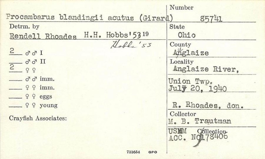 | Procambarus blandingii (Harlan, 1830) | 1940 | R. Rhoades | Auglaize River, Union Township |
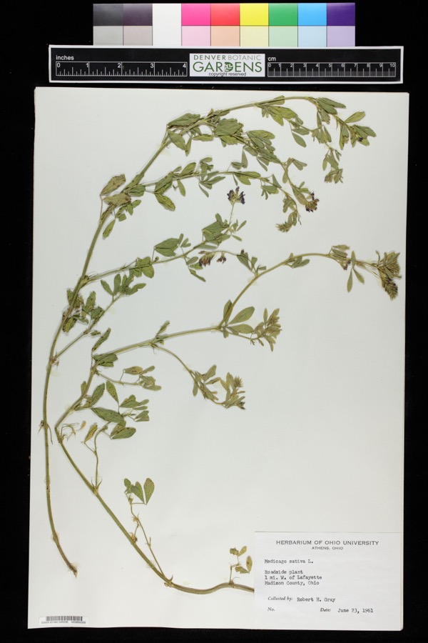 | Medicago sativa L. | 1961 | Robert H. Gray | 1 mile west of Lafayette. |
 | Etheostoma spectabile (Agassiz, 1854) | 1893 | PH Kirsch | Sugar Creek, 2 miles north of Lima; Maumee River dr. |
 | Lepomis cyanellus Rafinesque, 1819 | 1893 | P. Kirsch | Lost Creek, Lima, Ohio |
 | Lithobates pipiens (Schreber, 1782) | 1893 | not recorded | Lima, Sugar Creek |
 | Nerodia sipedon (Linnaeus, 1758) | 1893 | not recorded | Lima, Sugar Creek |
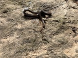 | Regina septemvittata (Say, 1825) | 1893 | not recorded | Lima, Sugar Creek |
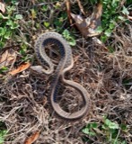 | Thamnophis sirtalis (Linnaeus, 1758) | 1893 | not recorded | Lima, Sugar Creek |
 | Amanita frostiana (Peck) Sacc. | 1902 | C. W. Dawson | Lima |
 | Amanita rubescens Pers. | 1902 | C. W. Dawson | Lima |
 | Amanita vaginata (Bull.) Lam. | 1902 | C. W. Dawson | Lima |
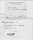 | Flammula sapinea (Fr.) P.Kumm. | 1902 | C. W. Dawson | Lima |
All 244 specimens within 10 miles, at the Global Biodiversity Information Facility.
Storms near this place
3 since 2023Regional context, not property-specific evidence. The National Weather Service names Westminster in 3 storm reports between 2023 and 2023: 2 tornado, 1 thunderstorm wind. No death or injury is recorded in these reports. Each account below is quoted exactly as the forecast office filed it, from the NOAA Storm Events Database, and each date opens the federal record of that event.
| When | Event | Place named | Harm | What the report says |
|---|---|---|---|---|
| April 2023 | Tornado (EF0) | Westminster | $20,000 | A weak tornado destroyed a grain bin and carried the bin into a|nearby field for about a half mile before dissipating. Maximum|winds were 75 mph with a width of 50 yards. |
| April 2023 | Tornado (EF0) | Westminster | $10,000 | A tornado briefly touched down, damaging a barn and carrying the|debris to the ENE. Maximum winds were around 75 mph with a width|of 50 yards. |
| April 2023 | Thunderstorm Wind | Westminster | - | Large tree branches were downed. |
Nearest settlements
The eight closest, with where each one stands in the county. Distances are straight-line, computed from the Geographic Names Information System coordinates.
| Map | Place | Distance | Sheets |
|---|---|---|---|
| Harrod | 3.2 miles | 16 | |
| South Warsaw | 3.7 miles | 15 | |
| Eastwood Estates | 3.9 miles | 15 | |
| Yoder | 4.8 miles | 15 | |
| Lafayette | 4.9 miles | 13 | |
| West Newton | 5.4 miles | 16 | |
| Shady Grove (historical) | 5.8 miles | 15 | |
| Rousculp | 5.9 miles | 15 |
Provenance
This settlement is recorded in the Geographic Names Information System as feature 1061763. The sheet list is computed by point-in-boundary test against the United States Geological Survey's historical topographic inventory. Both are works of the United States government and carry no copyright under 17 U.S.C. 105.
Specimens. Global Biodiversity Information Facility (GBIF), https://www.gbif.org/. Only records licensed CC0 or CC BY are used. Records licensed CC BY-NC are excluded because this site carries advertising. Images are checked individually and any whose licence is non-commercial, no-derivatives or unreadable is refused.
Storms. NOAA National Centers for Environmental Information, Storm Events Database https://www.ncei.noaa.gov/stormevents/ A work of the United States government, no copyright under 17 U.S.C. 105. Narratives are quoted verbatim from the National Weather Service report and are not edited or summarised.