 Block
Block
Harrod, Ohio
16 topographic sheets cover this place, the earliest surveyed in 1913 and the latest in 1986. It stands in Auglaize Township. It lies in ZIP code area 45850. The Survey maps it on the Harrod quadrangle. 423 people lived here at the 2020 count. It stands 981 feet above sea level.
Population over time
2 figuresHarrod grew from 417 to 423 between 2010 and 2020. These are the recorded population figures Wikidata holds for this place, reached through the Geographic Names Information System number this page is keyed on rather than by name, so they belong to this place and not to another of the same name. Most are census counts, but not all are: an early figure may be a founding or settlement estimate. The change column is computed, and is left blank where more than 20 years separate a figure from the one before it, because a gap that long is not a change between two counts.
| Year | People | Change |
|---|---|---|
| 2010 | 417 | |
| 2020 | 423 | +6 (+1%) |
Then and now
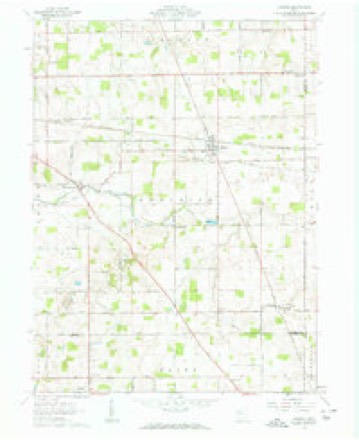
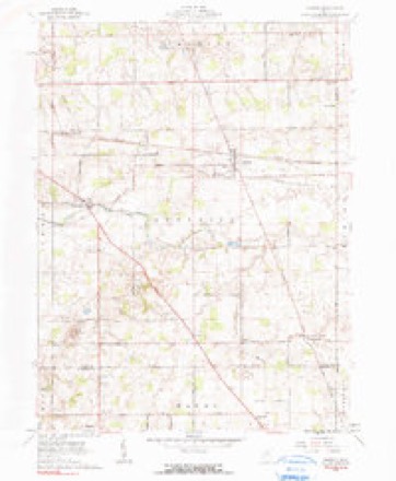
1913 to 1986The same ground, surveyed 73 years apart. Drag the handle to wipe between them. Both sheets are United States Geological Survey originals; neither has been altered.

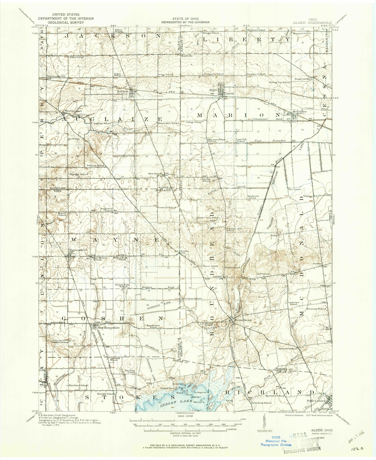
Topographic sheets covering this place
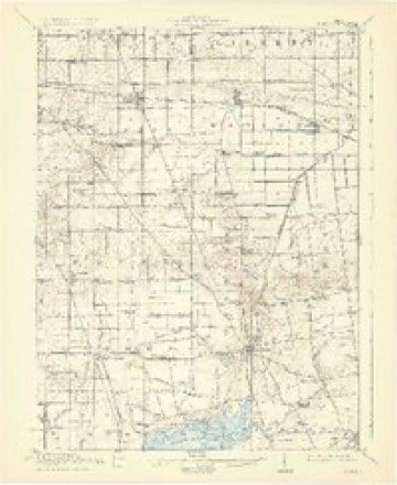
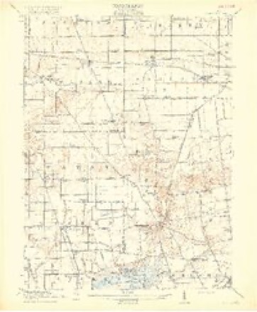
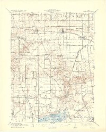
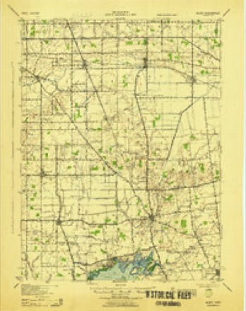
16 sheetsMatched by testing this settlement's coordinate against the published boundary of every sheet in the United States Geological Survey's historical collection. Each opens the scanned sheet at the Survey.
- 1913 USGS Alger quadrangle1:62500
- 1913 USGS Alger quadrangle1:48000
- 1915 USGS Alger quadrangle1:62500
- 1915 USGS Alger quadrangle1:62500
- 1915 USGS Alger quadrangle1:62500
- 1915 USGS Alger quadrangle1:62500
- 1943 USGS Alger quadrangle1:62500
- 1950 USGS Marion quadrangle1:250000
- 1961 USGS Harrod quadrangle1:24000
- 1961 USGS Harrod quadrangle1:24000
- 1962 USGS Marion quadrangle1:250000
- 1966 USGS Marion quadrangle1:250000
- 1966 USGS Marion quadrangle1:250000
- 1966 USGS Marion quadrangle1:250000
- 1986 USGS Marion quadrangle1:100000
- 1986 USGS Marion quadrangle1:100000







In the county-history sources
5,254 words on this townshipHistory of Allen County, Ohio. Containing a History of the County, Its Townships, Towns, Villages, Schools, Churches, Industries, Etc; Portraits of Early Settlers and Prominent Men; Biographies; History of the Northwest Territory; History of Ohio; Statistical and Miscellaneous Matter, Etc., Etc, published 1885; History of Allen County, Ohio, published 1885 names this settlement in its chapter on Auglaize Township. These are the passages that mention it, exactly as the scans read.
J. M. HABBOD, farmer, P. O. Harrod, was born in Auglaize Township, this county, March 7, 1852. His father, William Harrod, was bom in Enox County, Ohio, October 4, 1819; his mother, whose maiden name was Mary Copeland, was a native of Ghreene County, Ohio. Becords show them to be of Pennsylvania stock, and the family were early pioneers of Knox County. William Harrod settled on the land he now occupies in 1841, at which time he took up 160 acres. The farm now embraces 440 acres. After paying taxes on his land, Mr. Harrod had but 13 left, but with health and ambition, he began his work in the woods, and his labors have been crowned with success. He and his wife were parents of six children: J. W., Bebecca, Albert, Laura, Louis B. and Dora B. The subject of this sketch settled on his present farm, consisting of 120 acres in 1879. He has made excellent improvments, and has taken an active part in building up Harrod, and improving the place. Mr. Harrod was married in Jackson Township, this county, in 1879, to Miss Hannah C. Leatherman, a native of this county. He has held various offices of trust ill the township.
Passage source: History of Allen County, Ohio. Containing a History of the County, Its Townships, Towns, Villages, Schools, Churches, Industries, Etc; Portraits of Early Settlers and Prominent Men; Biographies; History of the Northwest Territory; History of Ohio; Statistical and Miscellaneous Matter, Etc., Etc, published 1885.
The pioneers of Auglaize Township were Francis Stevenson, John and Arabella Goode, who settled here in 1829. In March, 1830, the Stevenson family came to take possession of the home selected by the pioneer in 1829. Francis Stevenson died in 1847, and the year following his wife died. Tolson Ford, James Hamilton, Henry Weaver and Robert Underwood arrived in 1830, and the following year, Isaac, John, Daniel and Samuel Shockey, and David Serkes came in. The authentic record of early settlement is given in the chapter dealing with the pioneers of the county, in that portion of it where the tax-payers of Auglaize, in 1834, are named. The following record of purchasers of Goyernment lands in this township is not only valuable as being historical in every sense; but also as a testimonial to the men who purchased, as it
Passage source: History of Allen County, Ohio, published 1885.
Machine-read from a century-old scan, so expect the errors a machine makes: misspelled names, dropped words, stray characters.
Read the whole chapter on Auglaize Township - it names this place 4 more 4 times.
Specimens collected near this place
12 of 192 shownRegional context, not property-specific evidence. Museums hold 192 specimens collected within 10 miles of Harrod between 1893 and 1975: 182 Animalia, 9 Fungi, 1 Plantae. 12 distinct Species records are shown. Collected by Brugneo G. M., C. Clark, C. Drury and others. Each is a physical object with a catalogue number, and each entry opens the museum's record. This is what was collected and kept, not a survey of what lives here - nothing can be concluded from a species being absent.
| Image | Species | Year | Collected by | Where, as recorded |
|---|---|---|---|---|
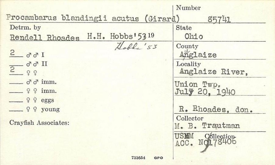 | Procambarus blandingii (Harlan, 1830) | 1940 | R. Rhoades | Auglaize River, Union Township |
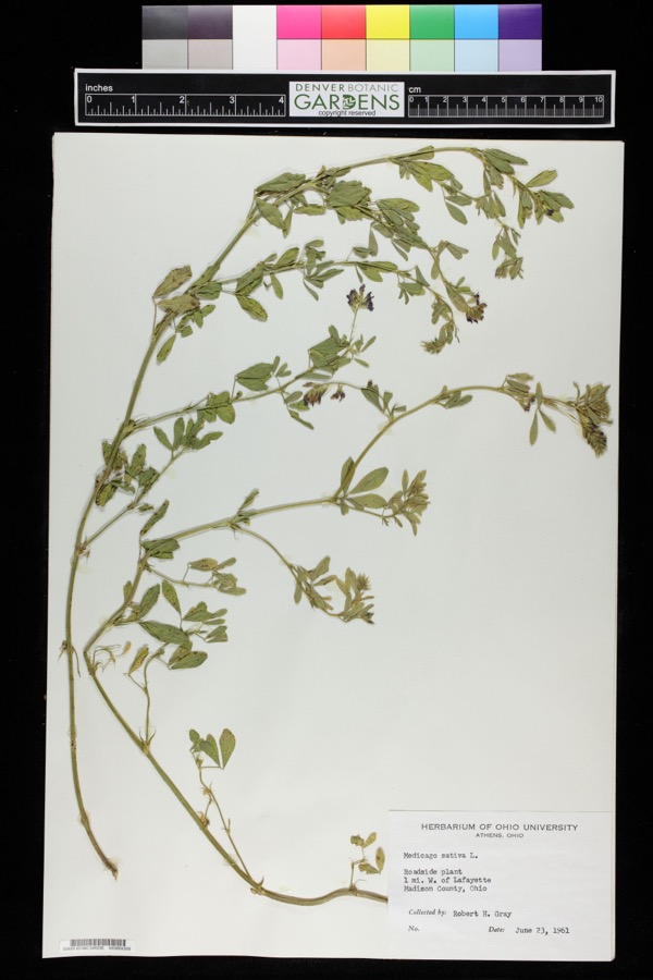 | Medicago sativa L. | 1961 | Robert H. Gray | 1 mile west of Lafayette. |
 | Lepomis cyanellus Rafinesque, 1819 | 1893 | P. Kirsch | Lost Creek, Lima, Ohio |
 | Laccaria ochropurpurea (Berk.) Peck | 1902 | C. W. Dawson | Lima. |
| Omphalina dawsonii Murrill | 1902 | C. W. Dawson | Lima | |
 | Omphalotus illudens (Schwein.) Sacc. | 1902 | C. W. Dawson | Lima. |
| Panaeolus sphinctrinus (Fr.) Quél. | 1902 | C. W. Dawson | Lima. | |
 | Pluteus longistriatus (Peck) Peck | 1902 | C. W. Dawson | Lima. |
 | Crepidotus applanatus (Pers.) P.Kumm. | 1903 | C. W. Dawson | Lima |
 | Ambystoma maculatum (Shaw, 1802) | 1929 | Franks, R. W. (Roscoe W.) | 1 1/2 mi S of Harrod, Allen Co., Ohio |
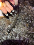 | Ambystoma texanum (Matthes, 1855) | 1929 | Franks, R. W. (Roscoe W.) | 1 1/2 mi S of Harrod, Allen Co., Ohio |
 | Campostoma anomalum anomalum | 1929 | Trautman, M. B. (Milton Bernard) | Auglaize River, at Westminster, ~4.1 mi W of Harrod, Auglaize township |
All 192 specimens within 10 miles, at the Global Biodiversity Information Facility.
Storms near this place
4 since 2006Regional context, not property-specific evidence. The National Weather Service names Harrod in 4 storm reports between 2006 and 2025: 2 thunderstorm wind, 1 lightning, 1 hail. No death or injury is recorded in these reports. Each account below is quoted exactly as the forecast office filed it, from the NOAA Storm Events Database, and each date opens the federal record of that event.
| When | Event | Place named | Harm | What the report says |
|---|---|---|---|---|
| June 2006 | Lightning | Harrod | $80,000 | A residence was struck by lightning, cause a fire which spread through much of the house, causing extensive damage to the house and an attached garage. Those in the home were able to escape without injury. Damage is estimated at around $80,000. |
| May 2025 | Thunderstorm Wind | Harrod | $1,000 | Large tree downed blocking Faulkner Rd. |
| July 2023 | Hail | Harrod | $1,000 | no account filed |
| June 2020 | Thunderstorm Wind | Harrod | - | Public reports trees down. |
Nearest settlements
The eight closest, with where each one stands in the county. Distances are straight-line, computed from the Geographic Names Information System coordinates.
| Map | Place | Distance | Sheets |
|---|---|---|---|
| Maysville | 2.8 miles | 16 | |
| Westminster | 3.2 miles | 16 | |
| West Newton | 3.9 miles | 16 | |
| Lafayette | 4.0 miles | 13 | |
| Eastwood Estates | 6.3 miles | 15 | |
| South Warsaw | 6.8 miles | 15 | |
| Yoder | 8.0 miles | 15 | |
| Country Estates | 8.4 miles | 15 |
Elsewhere
Matched on this settlement's Geographic Names Information System number rather than its name, so it cannot be a different place of the same name in another state.
| Wikipedia article on Harrod | An encyclopaedic summary. Its text is share-alike, so it is linked here rather than copied. |
| Wikidata item Q2470841 | The structured record the population and elevation above come from. Public domain (CC0). |
Provenance
This settlement is recorded in the Geographic Names Information System as feature 1064802. The sheet list is computed by point-in-boundary test against the United States Geological Survey's historical topographic inventory. Both are works of the United States government and carry no copyright under 17 U.S.C. 105.
Specimens. Global Biodiversity Information Facility (GBIF), https://www.gbif.org/. Only records licensed CC0 or CC BY are used. Records licensed CC BY-NC are excluded because this site carries advertising. Images are checked individually and any whose licence is non-commercial, no-derivatives or unreadable is refused.
Storms. NOAA National Centers for Environmental Information, Storm Events Database https://www.ncei.noaa.gov/stormevents/ A work of the United States government, no copyright under 17 U.S.C. 105. Narratives are quoted verbatim from the National Weather Service report and are not edited or summarised.