 Block
Block
Lafayette, Ohio
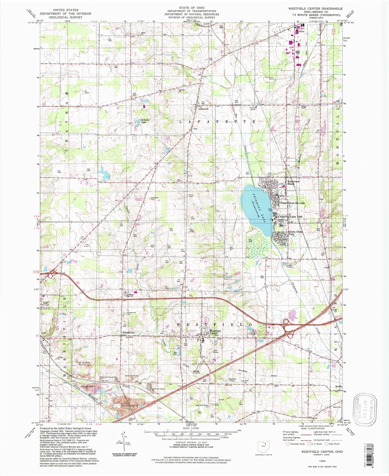
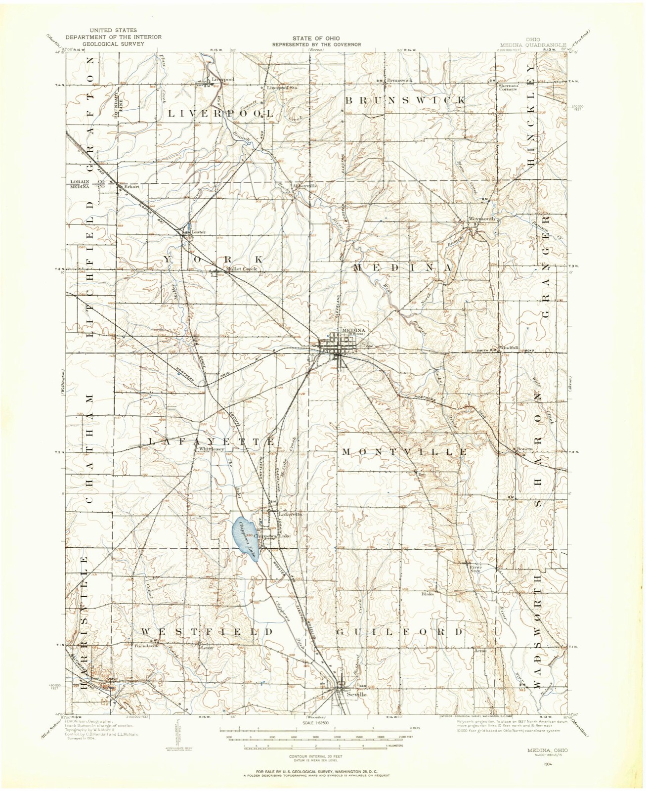
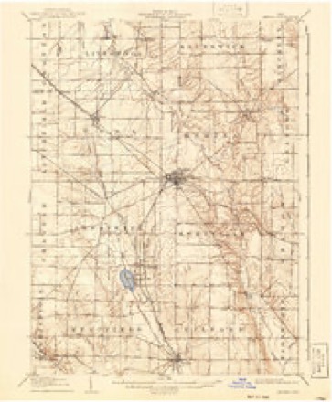
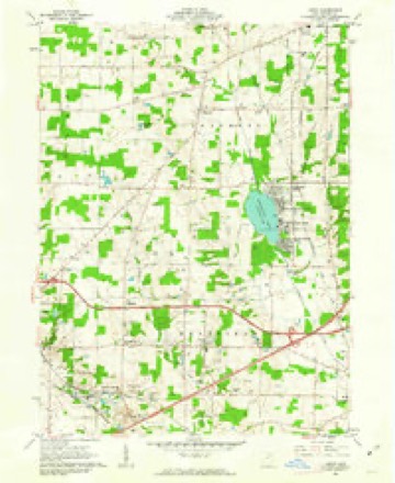
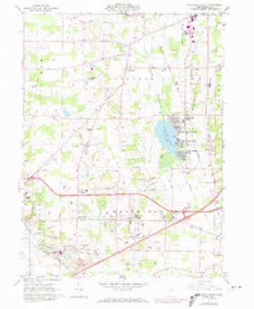
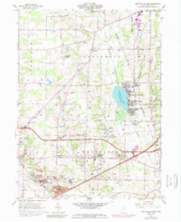
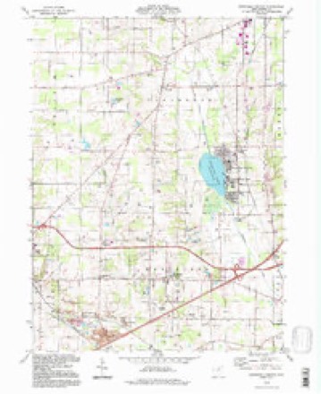
13 topographic sheets cover this place, the earliest surveyed in 1904 and the latest in 1994. It stands in Lafayette Township. It lies in ZIP code area 44256. The Survey maps it on the Westfield Center quadrangle.
Then and now
1904 to 1994The same ground, surveyed 90 years apart. Drag the handle to wipe between them. Both sheets are United States Geological Survey originals; neither has been altered.
Compare 1904 against another survey:
Topographic sheets covering this place
13 sheetsMatched by testing this settlement's coordinate against the published boundary of every sheet in the United States Geological Survey's historical collection. Each opens the scanned sheet at the Survey.
- 1904 USGS Medina quadrangle1:62500
- 1904 USGS Medina quadrangle1:62500
- 1906 USGS Medina quadrangle1:62500
- 1956 USGS Cleveland quadrangle1:250000
- 1956 USGS Cleveland quadrangle1:250000
- 1956 USGS Cleveland quadrangle1:250000
- 1961 USGS Leroy quadrangle1:24000
- 1961 USGS Westfield Center quadrangle1:24000
- 1961 USGS Westfield Center quadrangle1:24000
- 1962 USGS Cleveland quadrangle1:250000
- 1986 USGS Cleveland South quadrangle1:100000
- 1994 USGS Cleveland South quadrangle1:100000
- 1994 USGS Westfield Center quadrangle1:24000






In the county-history sources
715 words on this townshipPioneer History of Medina County, published 1861 names this settlement in its chapter on Lafayette Township. These are the passages that mention it, exactly as the scans read.
In 1830, the lands and chattels whin the present township of Lafayette, were owned Wy Apollos Cook, TL B. Cook, Lucy Day, S. and T. Fowler, Elijah Hubbard, Lemuel Moffatt, Samuel Moffatt's heirs and Wm. N. Sill, comprising an area of sixteen thousand and fifty-one acres, on which they paid a tax of three hundred and thirty-one dollars.
Passage source: Pioneer History of Medina County, published 1861.
From 1818, to 1832, the lands now in the township of Lafayette were listed and taxed as belonging to Westfield, to which it was attached. In 1832, the township was organized, and at the first election ten votes were given. The first township officers were as follows ; Vivalda Wood, Alexaiflder Barrett and Anson Bellamy, Trustees; Ephraim Harris, Township Clerk ; Vivalda Wood, Treasurer ; and Vivalda Wood, Supervisor ; Abraham Brooks, Justice of the Peace. As office timber was rather scarce, the voters, in their sovereign capacity, imposed upon Vivalda Wood the duties of three offices. At the election, the propriety of electing a Constable was duly considered and vetoed. It was then thought that collections could be made by Abraham alone.
Passage source: Pioneer History of Medina County, published 1861.
Machine-read from a century-old scan, so expect the errors a machine makes: misspelled names, dropped words, stray characters.
Read the whole chapter on Lafayette Township - it names this place 1 more 1 time.
Specimens collected near this place
12 of 340 shownRegional context, not property-specific evidence. Museums hold 340 specimens collected within 10 miles of Lafayette between 1884 and 1975: 317 Animalia, 17 Plantae, 5 Fungi, 1 Protozoa. 12 distinct Species records are shown. Collected by A. Roberts, Ashcroft,G.B. s.n. [1897-05], B Zahuranec & party and others. Each is a physical object with a catalogue number, and each entry opens the museum's record. This is what was collected and kept, not a survey of what lives here - nothing can be concluded from a species being absent.
| Image | Species | Year | Collected by | Where, as recorded |
|---|---|---|---|---|
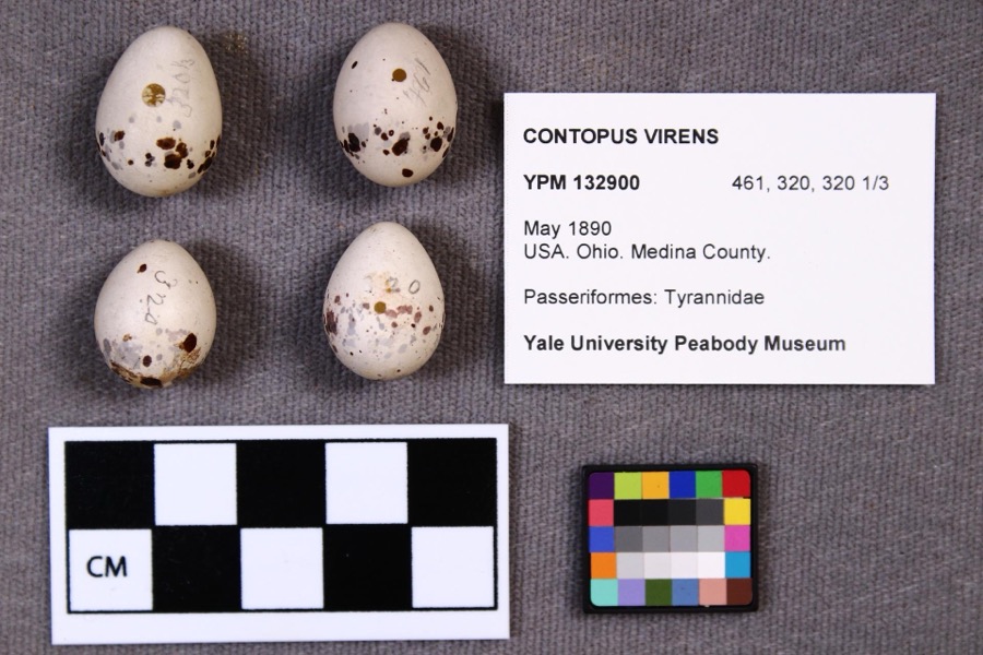 | Contopus virens (Linnaeus, 1766) | 1890 | not recorded | |
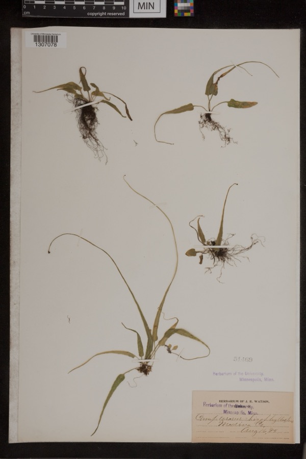 | Camptosorus rhizophyllus (L.) Link | 1894 | Watson, J.R. | Medina Co. |
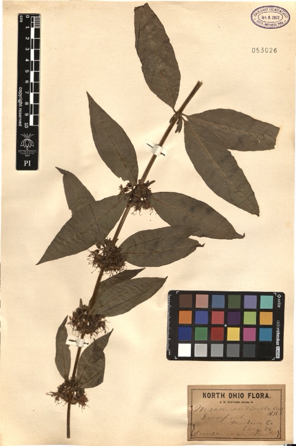 | Nesaea verticillata (L.) Kunth | 1896 | Watson,J.R. s.n. [1896-08] | [label: North Ohio Flora. J.R. Watson, Berea, O.] Liverpool, Medina Co. [Medina County] |
 | Sciurus niger Linnaeus, 1758 | 1884 | unknown | Medina |
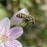 | Halictus confusus confusus | 1885 | H. E. Summers | Medina |
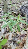 | Lilium canadense L. | 1888 | E. Barrick | Chatham |
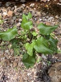 | Plantago cordata Lam. | 1891 | F. E. Lloyd | Selsville, north of Columbus |
 | Vicia cracca L. | 1895 | Selby, A.D. | Lodi |
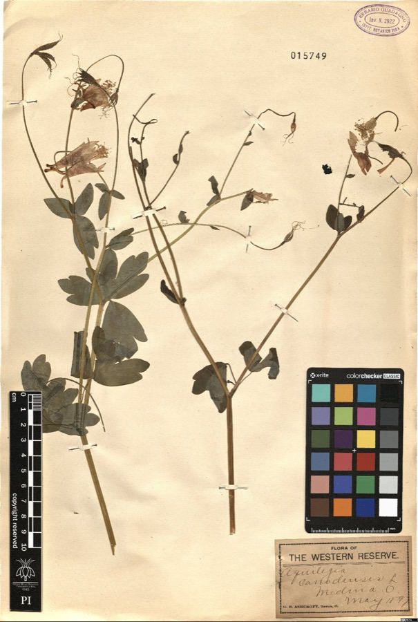 | Aquilegia canadensis L. | 1897 | Ashcroft,G.B. s.n. [1897-05] | [label: Flora of the Western Reserve] Medina O. [Ohio] |
 | Culicoides guttipennis (Coquillett, 1901) | 1897 | J. Hine | Medina |
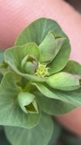 | Euphorbia commutata Engelm. ex A.Gray | 1897 | G. B. Ashcroft | Lester |
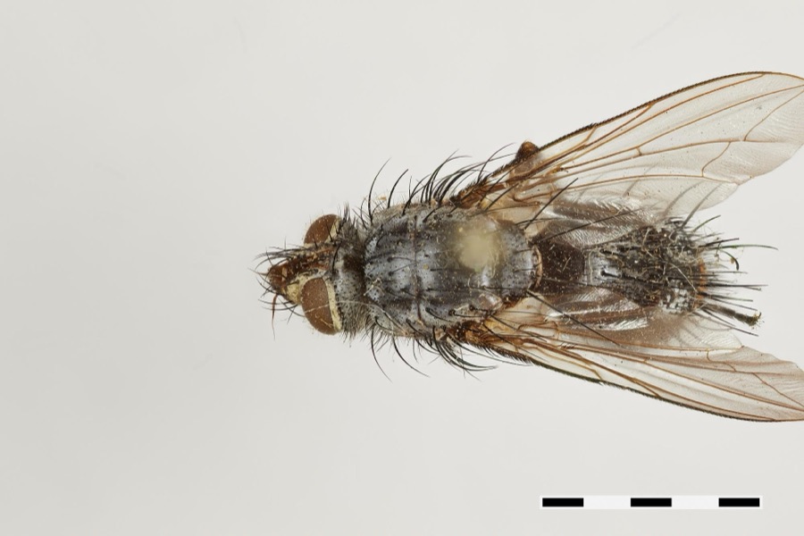 | Hinea Townsend, 1916 | 1897 | J. Hine | Medina |
All 340 specimens within 10 miles, at the Global Biodiversity Information Facility.
Storms near this place
6 since 1995Regional context, not property-specific evidence. The National Weather Service names Lafayette in 6 storm reports between 1995 and 2019: 3 thunderstorm wind, 1 hail, 1 funnel cloud, 1 flash flood. No death or injury is recorded in these reports. Each account below is quoted exactly as the forecast office filed it, from the NOAA Storm Events Database, and each date opens the federal record of that event.
| When | Event | Place named | Harm | What the report says |
|---|---|---|---|---|
| June 2019 | Flash Flood | Lafayette | $1,000,000 | Flooding at Wadsworth Airport after receiving 5.28 of rain over 3 days, 4.20 in 2 hours ending on the morning of the 17th. At least one home sustained significant flood damage. At Chippewa Lake officials reported significant flooding in which Kennard and Lake Roads were closed. |Other Road Closures- County Highway 50, Chippewa Road, between County Highway 19, Lake Road, and Township Highway 85, Ballash Road, in Lafayette Township;|County Highway 52, Bear Swamp Road, between County Highway 75, Fixler Road, and state Route 162 in Sharon Township;|Kennard Road, between Lake Road and Westfield Landing;|County Highway 35, Friendsville Road, from County Highway 91, Garman Road south to the Wayne County line in Westfield Township;|County Highway 46, Seville Road, between County Highway 15, Westfield Road, and Township Highway 57, Leroy Road, in Westfield Township;|County Highway 15, Westfield Road, north to the Wayne County line to Township Road 91, Garman Road, in Westfield Township;|County Highway 91, Garman Road, in Westfield Township;|County Highway 90, Willow Road, between Township Road 73, Garden Isle Road, and County Highway 34, Franchester Drive, in Harrisville Township. |
| June 2010 | Thunderstorm Wind | Lafayette | $3,000 | Thunderstorm winds downed two trees in Lafayette Township. |
| November 2005 | Thunderstorm Wind | Lafayette | $2,000 | One tree and one large limb were reported down. |
| August 2017 | Thunderstorm Wind | Lafayette | $1,000 | Thunderstorm winds downed several large tree limbs and knocked over a large wooden swing set. |
| July 1999 | Funnel Cloud | Lafayette | - | no account filed |
| September 1995 | Hail | Lafayette | - | no account filed |
Nearest settlements
The eight closest, with where each one stands in the county. Distances are straight-line, computed from the Geographic Names Information System coordinates.
| Map | Place | Distance | Sheets |
|---|---|---|---|
| Briarwood Beach | 2.6 miles | 13 | |
| Chippewa Lake | 2.7 miles | 13 | |
| Chippewa-on-the-Lake | 2.7 miles | 13 | |
| Chippewa Lake Park | 3.2 miles | 13 | |
| Gloria Glens Park | 3.4 miles | 13 | |
| Chamberlain (historical) | 3.6 miles | 14 | |
| Medina | 4.6 miles | 13 | |
| Mallet Creek | 4.7 miles | 14 |
Provenance
This settlement is recorded in the Geographic Names Information System as feature 1061236. The sheet list is computed by point-in-boundary test against the United States Geological Survey's historical topographic inventory. Both are works of the United States government and carry no copyright under 17 U.S.C. 105.
Specimens. Global Biodiversity Information Facility (GBIF), https://www.gbif.org/. Only records licensed CC0 or CC BY are used. Records licensed CC BY-NC are excluded because this site carries advertising. Images are checked individually and any whose licence is non-commercial, no-derivatives or unreadable is refused.
Storms. NOAA National Centers for Environmental Information, Storm Events Database https://www.ncei.noaa.gov/stormevents/ A work of the United States government, no copyright under 17 U.S.C. 105. Narratives are quoted verbatim from the National Weather Service report and are not edited or summarised.