 Block
Block
Mallet Creek, Ohio
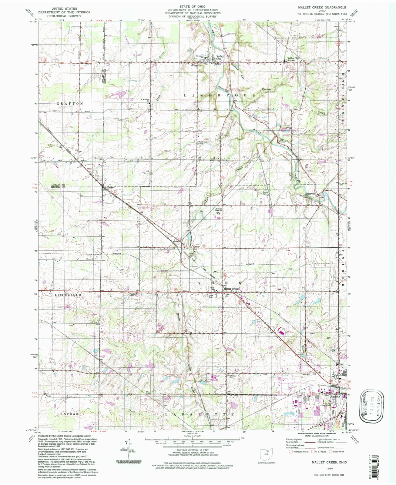
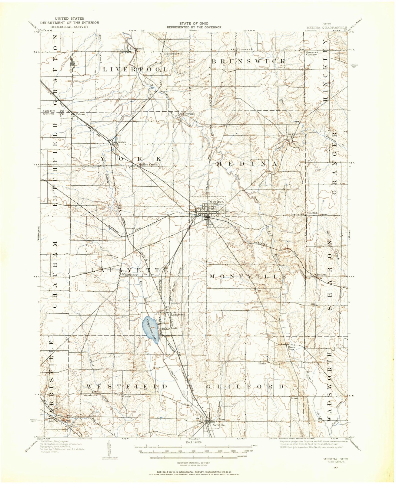
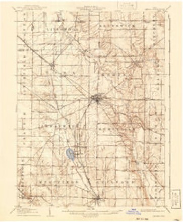
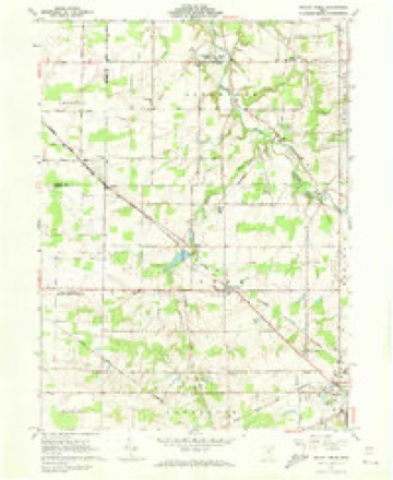
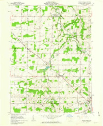
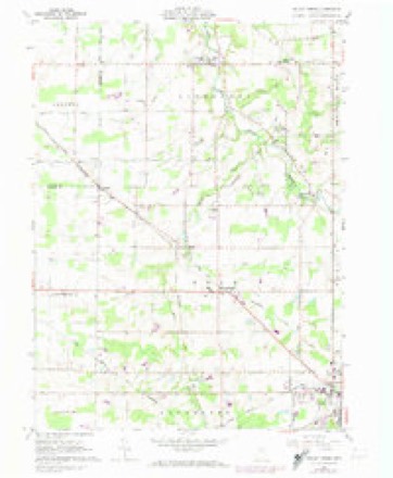
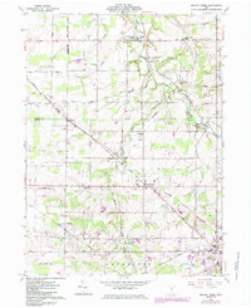
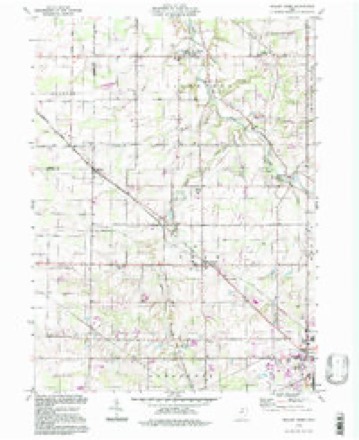
14 topographic sheets cover this place, the earliest surveyed in 1904 and the latest in 1994. It stands in York Township. It lies in ZIP code area 44256. The Survey maps it on the Mallet Creek quadrangle. It stands 3,327 feet above sea level.
Then and now
1904 to 1994The same ground, surveyed 90 years apart. Drag the handle to wipe between them. Both sheets are United States Geological Survey originals; neither has been altered.
Compare 1904 against another survey:
Topographic sheets covering this place
14 sheetsMatched by testing this settlement's coordinate against the published boundary of every sheet in the United States Geological Survey's historical collection. Each opens the scanned sheet at the Survey.
- 1904 USGS Medina quadrangle1:62500
- 1904 USGS Medina quadrangle1:62500
- 1906 USGS Medina quadrangle1:62500
- 1956 USGS Cleveland quadrangle1:250000
- 1956 USGS Cleveland quadrangle1:250000
- 1956 USGS Cleveland quadrangle1:250000
- 1961 USGS Mallet Creek quadrangle1:24000
- 1961 USGS Mallet Creek quadrangle1:24000
- 1961 USGS Mallet Creek quadrangle1:24000
- 1961 USGS Mallet Creek quadrangle1:24000
- 1962 USGS Cleveland quadrangle1:250000
- 1986 USGS Cleveland South quadrangle1:100000
- 1994 USGS Cleveland South quadrangle1:100000
- 1994 USGS Mallet Creek quadrangle1:24000






In the county-history sources
550 words on this townshipPioneer History of Medina County, published 1861 names this settlement in its chapter on York Township. These are the passages that mention it, exactly as the scans read.
Prior to the coming of the first settlers, they had been notified by letters that the Norwalk Boad was located through the township, and was a good turnpike road ; and that Mallet Creek abounded with speckled trout. Upon their arrival they found it necessary to make their own road, and as for trout they never found any of the speckled tribe but could daily see plenty of speckled frogs in the swampy lands without visiting Mallet Creek. Prior to the clearing- of the level lands there were many swamps and pools ot water.
Passage source: Pioneer History of Medina County, published 1861.
Machine-read from a century-old scan, so expect the errors a machine makes: misspelled names, dropped words, stray characters.
Specimens collected near this place
12 of 326 shownRegional context, not property-specific evidence. Museums hold 326 specimens collected within 10 miles of Mallet Creek between 1884 and 1975: 301 Animalia, 20 Plantae, 4 Fungi, 1 Protozoa. 12 distinct Species records are shown. Collected by A. Roberts, Ashcroft, G.B.; O. Berea, Ashcroft,G.B. s.n. [1897-05] and others. Each is a physical object with a catalogue number, and each entry opens the museum's record. This is what was collected and kept, not a survey of what lives here - nothing can be concluded from a species being absent.
| Image | Species | Year | Collected by | Where, as recorded |
|---|---|---|---|---|
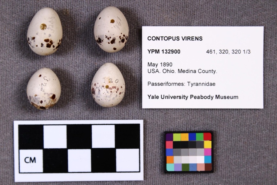 | Contopus virens (Linnaeus, 1766) | 1890 | not recorded | |
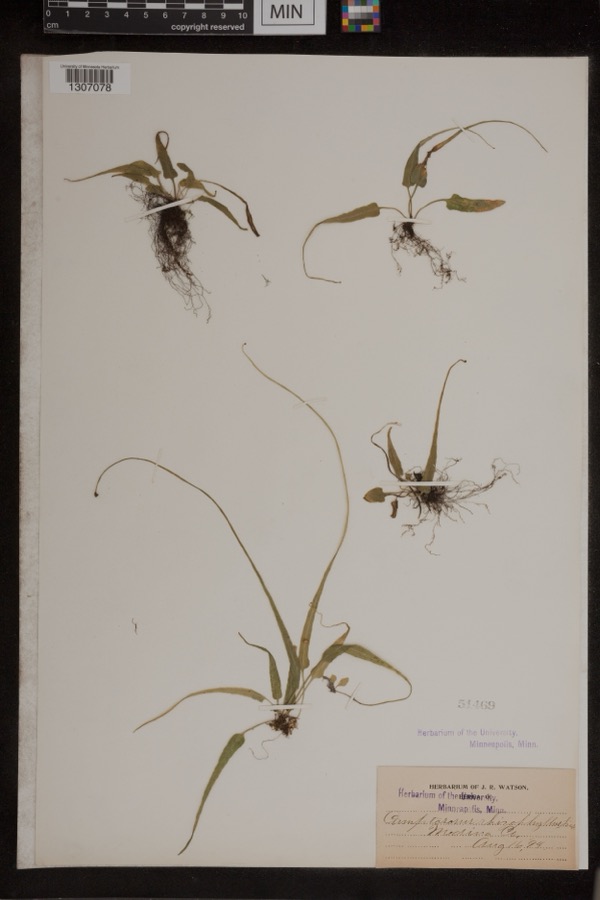 | Camptosorus rhizophyllus (L.) Link | 1894 | Watson, J.R. | Medina Co. |
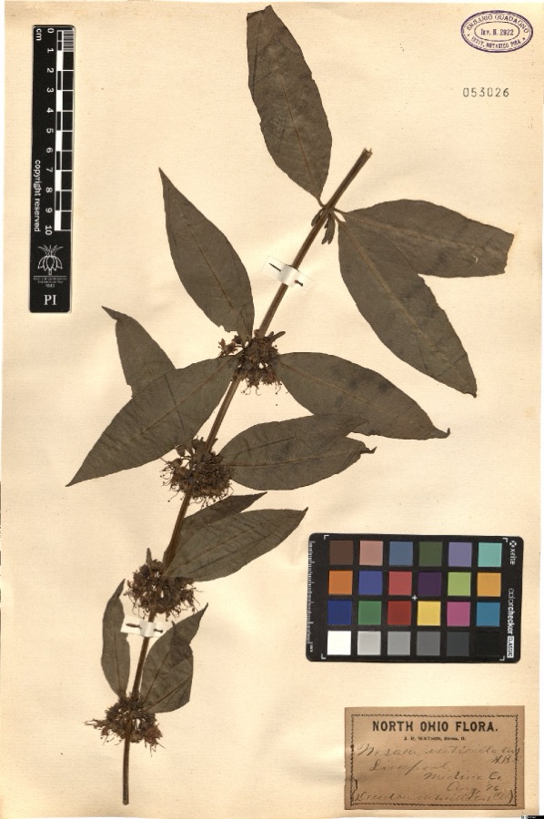 | Nesaea verticillata (L.) Kunth | 1896 | Watson,J.R. s.n. [1896-08] | [label: North Ohio Flora. J.R. Watson, Berea, O.] Liverpool, Medina Co. [Medina County] |
 | Sciurus niger Linnaeus, 1758 | 1884 | unknown | Medina |
 | Halictus confusus confusus | 1885 | H. E. Summers | Medina |
 | Lilium canadense L. | 1888 | E. Barrick | Chatham |
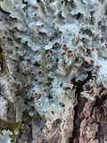 | Ricasolia quercizans (Michx.) Stizenb. | 1894 | Kelsey, F. D. | Penfield |
 | Mougeotia genuflexa (Roth) C.Agardh | 1896 | F. D. Kelsey | Plum Creek |
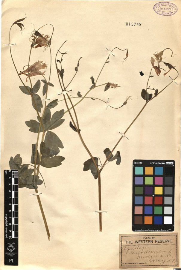 | Aquilegia canadensis L. | 1897 | Ashcroft,G.B. s.n. [1897-05] | [label: Flora of the Western Reserve] Medina O. [Ohio] |
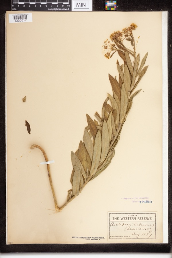 | Asclepias tuberosa subsp. interior Woodson | 1897 | Ashcroft, G.B.; O. Berea | The Western Reserve. Brunswick |
 | Culicoides guttipennis (Coquillett, 1901) | 1897 | J. Hine | Medina |
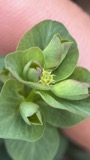 | Euphorbia commutata Engelm. ex A.Gray | 1897 | G. B. Ashcroft | Lester |
All 326 specimens within 10 miles, at the Global Biodiversity Information Facility.
Mines and quarries near this place
1 within 5 milesRegional context, not property-specific evidence. The federal mineral resources record lists 1 working within 5 miles of Mallet Creek: 1 producer. All of them still produce. What was taken out: Sand and Gravel, Construction. Distance is straight-line from the map coordinates, so a quarry counted here may appear on a neighbouring settlement's page as well.
| Where | Site | Commodity | Status | Recorded |
|---|---|---|---|---|
| Burbank Pit | Sand and Gravel, Construction | Producer |
Storms near this place
2 since 2011Regional context, not property-specific evidence. The National Weather Service names Mallet Creek in 2 storm reports between 2011 and 2011: 1 hail, 1 flood. No death or injury is recorded in these reports. Each account below is quoted exactly as the forecast office filed it, from the NOAA Storm Events Database, and each date opens the federal record of that event.
| When | Event | Place named | Harm | What the report says |
|---|---|---|---|---|
| May 2011 | Hail | Mallet Creek | - | Penny sized hail was observed. |
| May 2011 | Flood | Mallet Creek | - | Torrential rain in severe thunderstorms produced localized flooding over portions of Medina. Numerours roads had water several inches deep with a few isolated road closures. State Rout 42 and 162 were flooded. Doppler Radar estimated as much as 1.75 inches of rain fell within an hour. |
Nearest settlements
The eight closest, with where each one stands in the county. Distances are straight-line, computed from the Geographic Names Information System coordinates.
| Map | Place | Distance | Sheets |
|---|---|---|---|
| Lester | 1.1 miles | 14 | |
| Abbeyville | 2.9 miles | 14 | |
| Erhart | 3.4 miles | 14 | |
| Pliny (historical) | 3.5 miles | 14 | |
| Chamberlain (historical) | 3.6 miles | 14 | |
| Medina | 3.8 miles | 13 | |
| Lafayette | 4.7 miles | 13 | |
| Valley City | 4.9 miles | 14 |
Elsewhere
Matched on this settlement's Geographic Names Information System number rather than its name, so it cannot be a different place of the same name in another state.
| Wikipedia article on Mallet Creek | An encyclopaedic summary. Its text is share-alike, so it is linked here rather than copied. |
| Wikidata item Q6744142 | The structured record the population and elevation above come from. Public domain (CC0). |
Provenance
This settlement is recorded in the Geographic Names Information System as feature 1061463. The sheet list is computed by point-in-boundary test against the United States Geological Survey's historical topographic inventory. Both are works of the United States government and carry no copyright under 17 U.S.C. 105.
Specimens. Global Biodiversity Information Facility (GBIF), https://www.gbif.org/. Only records licensed CC0 or CC BY are used. Records licensed CC BY-NC are excluded because this site carries advertising. Images are checked individually and any whose licence is non-commercial, no-derivatives or unreadable is refused.
Mines and quarries. USGS Mineral Resources Data System (MRDS) https://mrdata.usgs.gov/mrds/ A work of the United States government, no copyright under 17 U.S.C. 105.
Storms. NOAA National Centers for Environmental Information, Storm Events Database https://www.ncei.noaa.gov/stormevents/ A work of the United States government, no copyright under 17 U.S.C. 105. Narratives are quoted verbatim from the National Weather Service report and are not edited or summarised.