 Block
Block
Lakewood, Ohio
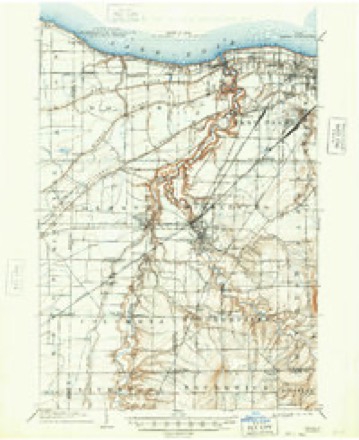
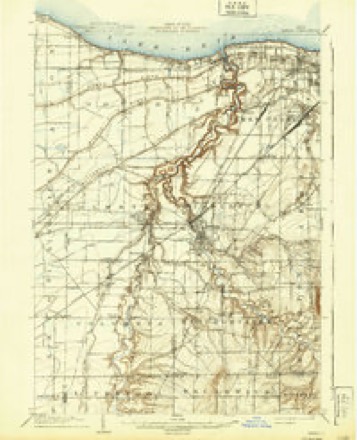
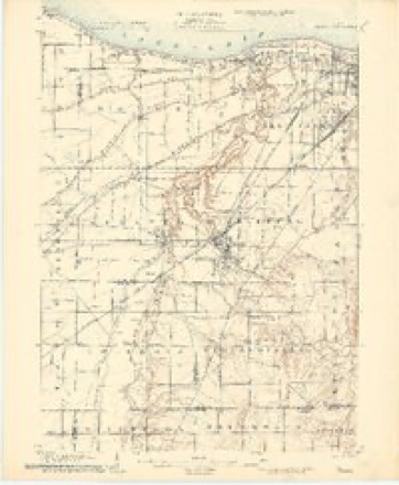
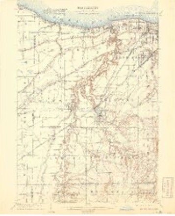
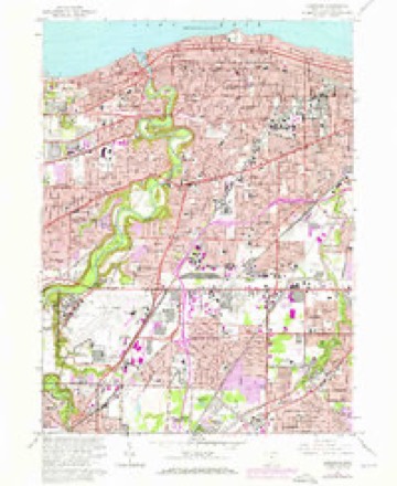
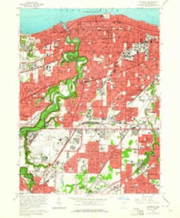
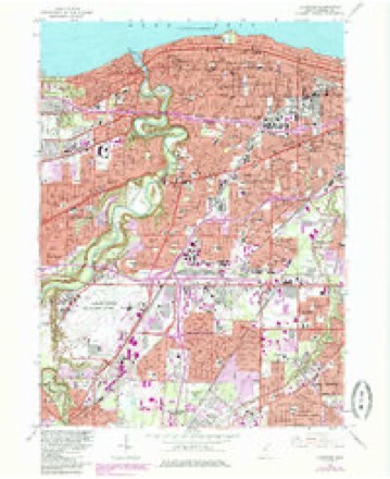
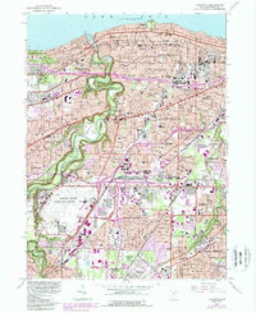
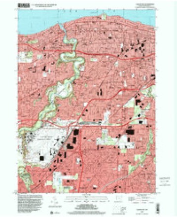
21 topographic sheets cover this place, the earliest surveyed in 1902 and the latest in 1994. It stands in Lakewood City. It lies in ZIP code area 44107. The Survey maps it on the Lakewood quadrangle. 50,942 people lived here at the 2020 count. It stands 705 feet above sea level.
Population over time
2 figuresLakewood fell from 52,131 to 50,942 between 2010 and 2020. These are the recorded population figures Wikidata holds for this place, reached through the Geographic Names Information System number this page is keyed on rather than by name, so they belong to this place and not to another of the same name. Most are census counts, but not all are: an early figure may be a founding or settlement estimate. The change column is computed, and is left blank where more than 20 years separate a figure from the one before it, because a gap that long is not a change between two counts.
| Year | People | Change |
|---|---|---|
| 2010 | 52,131 | |
| 2020 | 50,942 | -1,189 (-2%) |
Then and now
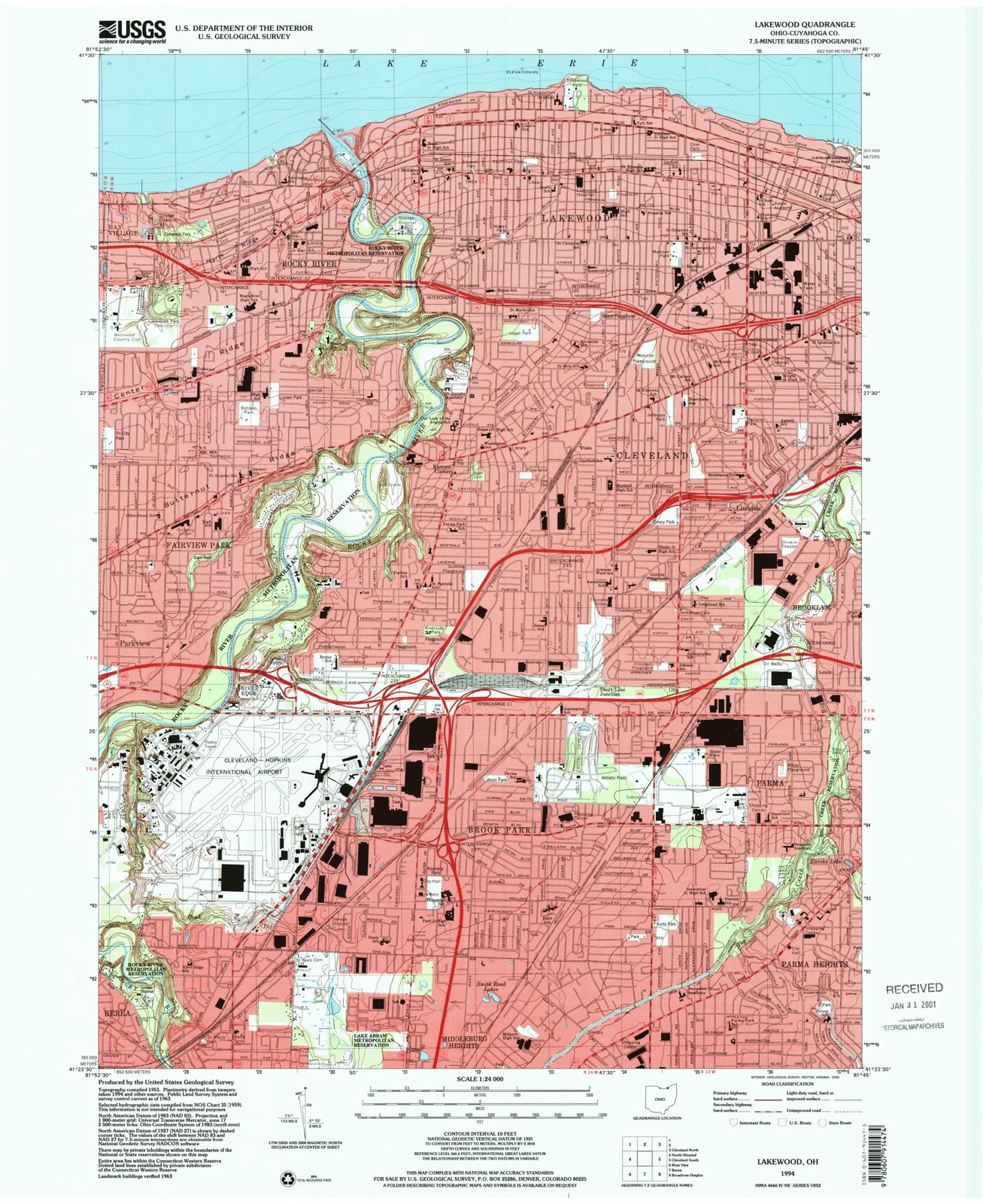
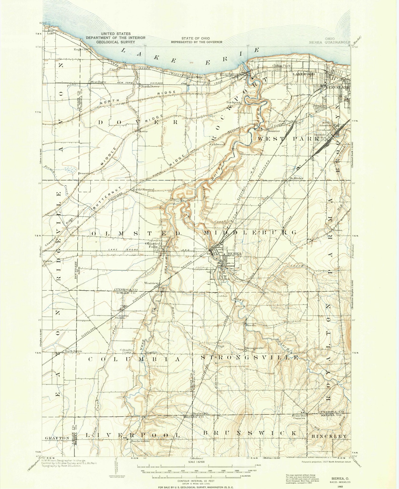
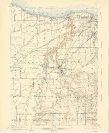
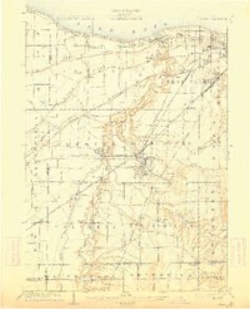
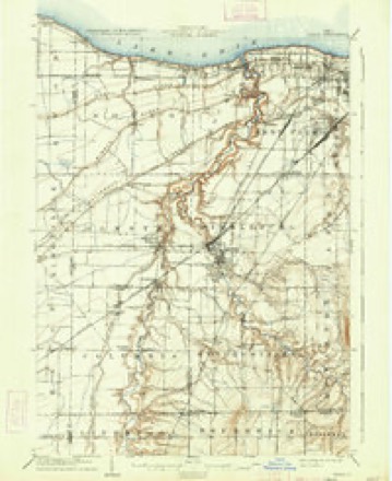
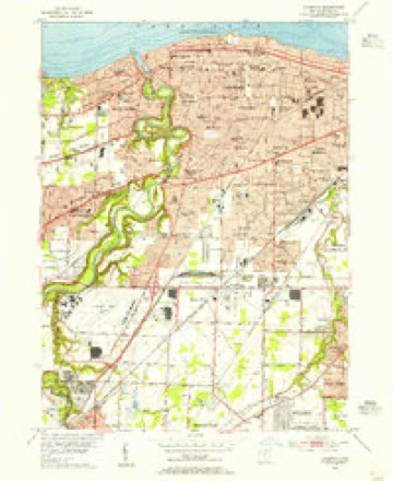
1902 to 1994The same ground, surveyed 92 years apart. Drag the handle to wipe between them. Both sheets are United States Geological Survey originals; neither has been altered.
Compare 1902 against another survey:
Topographic sheets covering this place
21 sheetsMatched by testing this settlement's coordinate against the published boundary of every sheet in the United States Geological Survey's historical collection. Each opens the scanned sheet at the Survey.
- 1902 USGS Berea quadrangle1:62500
- 1902 USGS Berea quadrangle1:62500
- 1904 USGS Berea quadrangle1:62500
- 1904 USGS Berea quadrangle1:62500
- 1904 USGS Berea quadrangle1:62500
- 1904 USGS Berea quadrangle1:62500
- 1904 USGS Berea quadrangle1:62500
- 1904 USGS Berea quadrangle1:62500
- 1904 USGS Berea quadrangle1:62500
- 1953 USGS Lakewood quadrangle1:24000
- 1956 USGS Cleveland quadrangle1:250000
- 1956 USGS Cleveland quadrangle1:250000
- 1956 USGS Cleveland quadrangle1:250000
- 1962 USGS Cleveland quadrangle1:250000
- 1963 USGS Lakewood quadrangle1:24000
- 1963 USGS Lakewood quadrangle1:24000
- 1963 USGS Lakewood quadrangle1:24000
- 1963 USGS Lakewood quadrangle1:24000
- 1986 USGS Cleveland South quadrangle1:100000
- 1994 USGS Cleveland South quadrangle1:100000
- 1994 USGS Lakewood quadrangle1:24000






Specimens collected nearby
12 of 3,013 shownMuseums hold 3,013 specimens collected within 10 miles of Lakewood between 1849 and 1975: 2,570 Animalia, 225 Fungi, 135 Plantae, 77 Protozoa, 5 Unrecorded, 1 Chromista. 12 distinct Species records are shown. Collected by A. D. Huryn, A. D. Selby, A. G. Newhall and others. Each is a physical object with a catalogue number, and each entry opens the museum's record. This is what was collected and kept, not a survey of what lives here - nothing can be concluded from a species being absent.
| Image | Species | Year | Collected by | Where, as recorded |
|---|---|---|---|---|
 | Monilia sitophila (Mont.) Sacc. | 1894 | Seymour, Arthur Bliss | Cleveland, O. [Ohio] |
 | Osmunda claytoniana L. | 1894 | Winkler, H.J. | Cleveland. |
 | Camptosorus rhizophyllus (L.) Link | 1895 | Ashcraft, G.B. | Berea |
 | Setophaga americana (Linnaeus, 1758) | 1849 | Jared P. Kirtland | Rockport |
| Boraginaceae | 1850 | not recorded | Cleveland. | |
 | Carex canescens L. | 1850 | Illegible collector name | Cleveland. |
 | Catillaria tricolor (Lam.) Th.Fr. | 1854 | G. Dixon | Cleveland, Bousdale Hill |
 | Melanerpes carolinus (Linnaeus, 1758) | 1854 | Robert Kennicott | Cleveland |
 | Abrothallus parmeliarum (Sommerf.) Nyl., 1869 | 1860 | Mudd Wm. | Cleveland |
 | Thryothorus ludovicianus ludovicianus (Latham, 1790) | 1860 | not recorded | Cleveland |
 | Colaptes auratus luteus Bangs, 1898 | 1871 | Collector(s): unknown | Cleveland |
 | Timmia megapolitana Hedw. | 1871 | E. N. Claassen |
All 3,013 specimens within 10 miles, at the Global Biodiversity Information Facility.
Mines and quarries nearby
5 within 5 milesThe federal mineral resources record lists 5 workings within 5 miles of Lakewood: 3 past producers, 2 producers. 2 still produce. What was taken out: Halite, Sand and Gravel, Construction, Limestone, General, Salt. Distance is straight-line from the map coordinates, so a quarry counted here may appear on a neighbouring settlement's page as well.
| Where | Site | Commodity | Status | Recorded |
|---|---|---|---|---|
| Cleveland Mine | Halite | Past Producer | Halite | |
| Cleveland Mine | Salt | Producer | ||
| Dock # 1, Whiskey Island | Silica | Producer | ||
| Dock Number 1, Whiskey Island Mill | Sand and Gravel, Construction | Past Producer | Sedimentary | |
| Quarry Division Quarry | Limestone, General | Past Producer | Sedimentary |
Storms nearby
29 since 1998The National Weather Service names Lakewood in 29 storm reports between 1998 and 2024: 18 thunderstorm wind, 7 hail, 2 waterspout, 2 flash flood. The reports record 1 death. Each account below is quoted exactly as the forecast office filed it, from the NOAA Storm Events Database, and each date opens the federal record of that event.
| When | Event | Place named | Harm | What the report says |
|---|---|---|---|---|
| May 1998 | Thunderstorm Wind | Lakewood | 1 killed, $10,000 | A 14 year old boy was killed when struck by an electric wire that was downed when a tree was downed on two utility poles and part of a garage roof. |
| February 2014 | Flash Flood | Lakewood | $100,000 | Police in Rocky River reported an ice jam on the Rocky River near the Metropark marina. The ice jam broke free around 1 pm and travelled about 2 miles to the mouth of the river into Lake Erie. The lake had been frozen over, but strong southwest gales were able to break up the mouth of the Rocky River sufficiently to allow the ice jam to move out of the river. Numerous docks and boats were damaged along the river, including a marina in the Metropark. |
| August 2014 | Thunderstorm Wind | Lakewood | $100,000 | Thunderstorm winds downed several trees from Lakewood to the west side of Cleveland. A truck was crushed by one of the trees in Lakewood. At least 23,500 utility customers lost power during this event. |
| May 2010 | Hail | Lakewood | $50,000 | Quarter to golf ball sized hail was reported. A few vehicles were damaged. |
| July 2014 | Thunderstorm Wind | Lakewood | $20,000 | Thunderstorm winds toppled a large tree on Brown Avenue in Lakewood. Scattered power outages were reported in the city. |
| June 2013 | Thunderstorm Wind | Lakewood | $20,000 | Broadcast media reported Clifton Blvd is closed with trees and power lines down across the road in Lakewood. A tree was also blown down on a house. |
| September 2018 | Thunderstorm Wind | Lakewood | $15,000 | Thunderstorm winds downed trees on Arthur Avenue and Bunts Road. A third fallen tree damaged a house on Mars Avenue. |
| July 2005 | Thunderstorm Wind | Lakewood | $10,000 | One tree and numerous large limbs were reported down. One of the limbs landed on a bus causing little damage. No injuries were reported. |
| May 2004 | Thunderstorm Wind | Lakewood | $4,000 | Thunderstorm winds downed a couple of large trees. |
| December 2014 | Thunderstorm Wind | Lakewood | $3,000 | A line of showers and thunderstorms downed a few trees in Lakewood. |
| August 2024 | Thunderstorm Wind | Lakewood | $2,000 | Numerous tree limbs downed in Lakewood. Additional tree limbs, one pine tree, and one power pole downed about one-mile east of Lakewood. |
| September 2018 | Thunderstorm Wind | Lakewood | $2,000 | Thunderstorm winds downed a tree. The tree blocked both lanes of Rocky River Drive. |
| July 2010 | Thunderstorm Wind | Lakewood | $1,000 | Thunderstorm winds downed a large tree limb. |
| May 2006 | Thunderstorm Wind | Lakewood | $1,000 | Two large limbs were reported down. |
| August 2024 | Thunderstorm Wind | Lakewood | - | Large tree downed near intersection of Lorain Avenue and West 152nd Street in Linndale area. |
| August 2024 | Thunderstorm Wind | Lakewood | - | Widespread tree damage along Grapeland Avenue in Cleveland. |
| June 2024 | Thunderstorm Wind | Lakewood | - | Several large tree limbs downed in Lakewood. |
| July 2023 | Thunderstorm Wind | Lakewood | - | Large tree branch snapped near Lakewood Park in Lakewood. |
| July 2023 | Hail | Lakewood | - | Hail up to quarter-size in Lakewood. |
| August 2021 | Thunderstorm Wind | Lakewood | - | A snapped tree fell onto a garage in Lakewood and a tree fell onto a truck about three-miles NNE of Linndale. Farther east along the same straight-line wind damage path, multiple trees were snapped and the roof was torn off a warehouse in the Gordon Square District of Cleveland. |
| September 2020 | Flash Flood | Lakewood | - | Eastbound on I-90 closed near McKinley between Lakewood and Rocky River. W 117th Street and Madison closed in both directions from flooding. |
| October 2020 | Hail | Lakewood | - | Pea to quarter-size hail in Lakewood area. |
| July 2019 | Thunderstorm Wind | Lakewood | - | Several large trees were blown down. |
| May 2011 | Hail | Lakewood | - | Thunderstorms produced quarter size hail as they tracked across Cuyahoga County. |
| April 2005 | Hail | Lakewood | - | Nickel size hail was observed. |
| August 2000 | Waterspout | Lakewood | - | Two waterspouts were observed on Lake Erie approximately one mile offshore from Lakewood. No damage occurred. |
| October 1999 | Waterspout | Lakewood | - | A waterspout was sighted on Lake Erie just offshore from Lakewood. No damage was reported. |
| June 1999 | Hail | Lakewood | - | no account filed |
| April 1998 | Hail | Lakewood | - | no account filed |
Nearest settlements
The eight closest, with where each one stands in the county. Distances are straight-line, computed from the Geographic Names Information System coordinates.
| Map | Place | Distance | Sheets |
|---|---|---|---|
| Clifton Park | 0.4 miles | 21 | |
| Birds Nest | 1.2 miles | 21 | |
| Westpark | 1.9 miles | 21 | |
| Little Arabia | 2.1 miles | 21 | |
| Rocky River | 2.2 miles | 21 | |
| Kamms Corner | 2.4 miles | 21 | |
| Rockport | 2.4 miles | 21 | |
| Cudell | 2.5 miles | 21 |
Elsewhere
Matched on this settlement's Geographic Names Information System number rather than its name, so it cannot be a different place of the same name in another state.
| Wikipedia article on Lakewood | An encyclopaedic summary. Its text is share-alike, so it is linked here rather than copied. |
| Wikidata item Q570990 | The structured record the population and elevation above come from. Public domain (CC0). |
Provenance
This settlement is recorded in the Geographic Names Information System as feature 1064966. The sheet list is computed by point-in-boundary test against the United States Geological Survey's historical topographic inventory. Both are works of the United States government and carry no copyright under 17 U.S.C. 105.
Specimens. Global Biodiversity Information Facility (GBIF), https://www.gbif.org/. Only records licensed CC0 or CC BY are used. Records licensed CC BY-NC are excluded because this site carries advertising. Images are checked individually and any whose licence is non-commercial, no-derivatives or unreadable is refused.
Mines and quarries. USGS Mineral Resources Data System (MRDS) https://mrdata.usgs.gov/mrds/ A work of the United States government, no copyright under 17 U.S.C. 105.
Storms. NOAA National Centers for Environmental Information, Storm Events Database https://www.ncei.noaa.gov/stormevents/ A work of the United States government, no copyright under 17 U.S.C. 105. Narratives are quoted verbatim from the National Weather Service report and are not edited or summarised.