 Block
Block
Laura, Ohio
9 topographic sheets cover this place, the earliest surveyed in 1905 and the latest in 1986. It stands in Union Township. It lies in ZIP code area 45337. It stands on Hog Run. The Survey maps it on the Laura quadrangle. 398 people lived here at the 2020 count. It stands 991 feet above sea level.
Population over time
2 figuresLaura fell from 474 to 398 between 2010 and 2020. These are the recorded population figures Wikidata holds for this place, reached through the Geographic Names Information System number this page is keyed on rather than by name, so they belong to this place and not to another of the same name. Most are census counts, but not all are: an early figure may be a founding or settlement estimate. The change column is computed, and is left blank where more than 20 years separate a figure from the one before it, because a gap that long is not a change between two counts.
| Year | People | Change |
|---|---|---|
| 2010 | 474 | |
| 2020 | 398 | -76 (-16%) |
Then and now
1905 to 1986The same ground, surveyed 81 years apart. Drag the handle to wipe between them. Both sheets are United States Geological Survey originals; neither has been altered.

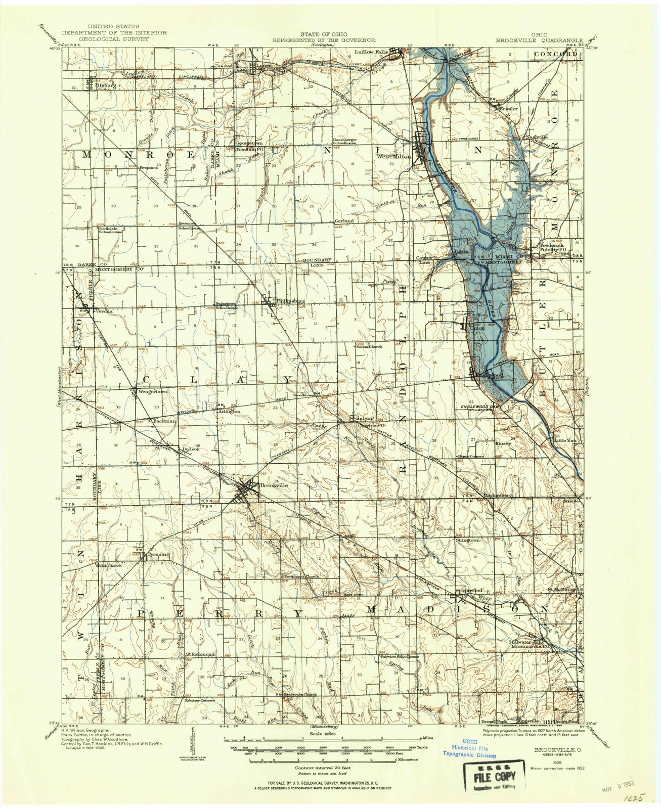
Topographic sheets covering this place
9 sheetsMatched by testing this settlement's coordinate against the published boundary of every sheet in the United States Geological Survey's historical collection. Each opens the scanned sheet at the Survey.
- 1905 USGS Brookville quadrangle1:62500
- 1953 USGS Cincinnati quadrangle1:250000
- 1953 USGS Cincinnati quadrangle1:250000
- 1953 USGS Cincinnati quadrangle1:250000
- 1957 USGS Cincinnati quadrangle1:250000
- 1961 USGS Laura quadrangle1:24000
- 1961 USGS Laura quadrangle1:24000
- 1986 USGS Dayton quadrangle1:100000
- 1986 USGS Dayton quadrangle1:100000






In the county-history sources
74,276 words on this townshipThe History of Miami County, Ohio, published 1880; The History of Miami County, Ohio : Containing a History of the County; Its Cities, Towns, Etc.; General and Local Statistics; Portraits of Early Settlers and Prominent Men; History of the Northwest Territory; History of Ohio; Map of Miami County; Constitution of the United States; Miscellaneous Matters, Etc., Etc, published 1880 names this settlement in its chapter on Union Township. These are the passages that mention it, exactly as the scans read.
Isaac Hasket, a pioneer noted for his great physical strength, came here about the same time as the preceding ; he came accompanied by his wife and child, the three having journeyed here from South Carolina on horseback. By trade Mr. Hasket was a carpenter ; a barn, built by him in 1819, is still standing ; it is the property of Frederick Yount, and is probably the oldest in the township. Mr. Hasket moved several times, but in 1823 he settled permanently on Section 19, at the age of fortyfive. He was the father of five sons and three daughters ; of these, Thomas is a prosperous farmer, living near his father's last residence, while John, the fourth son, has a farm which joins him on the west, and also a large amount of land in differe!*.. P aces- Joseph, the fifth son, now resides in Indiana. With the help of his . udren, Isaac cleared a large farm and provided land for his children. He died m 1849, leaving a name which for honesty and sobriety cannot be excelled. Henry txiate, with his father and five brothers, came from South Carolina at about the date oi the preceding, and settled on Section *6, on Ludlow's Creek. He was not only ,also a 8kiUful blacksmith ; he did all the work required by the farmers, nVkLf* ^ace-chains, hame-hooks, log-chains, mattocks, hoes, axes and earlv s,v. important of all ilia shop productions were his sickles. In those
Passage source: The History of Miami County, Ohio, published 1880.
From 1826 to the present, Milton has been slowly improving. Should it be asked why a village having such great water-power, such fertility of soil, and such enterprising inhabitants around it, continued so tardy in its growth, our auswer would be, that its life-blood has long been drained by Dayton and Troy. Remote from canals and railroads, its large grain and pork trade has gone almost exclusively to the above-named markets. It was trade that built Palmyra in the desert ; it was trade that built New Orleans in the fevered swamps of Louisiana.. It trade, in fact, that builds all towns and cities, however much their eligibility of situation may contribute to it In 1840, a turnpike was made from Dayton, nrough Milton and on to Covington. This helped the village to some extent, but d much more for Dayton and Covington. The great desideratum of Milton was a canal or railroad, and, as a railroad was practicable, great exertions have at orwJff611 ^mes ^en both by the village and township, to secure one. From
Passage source: The History of Miami County, Ohio, published 1880.
The Doctor was an industrious and prosperous man, carrying on farming with his medical practice. Vomiting, blistering and blood-letting were his favorite remedies. Very tenacious of preconceived opinions, he could hardly be convinced that there was such a disease as sick stomach or vegetable poison. When called to a patient suffering with that disease, he treated him for bilious fever, and the patient died. It was not until after he had been afflicted with it himself, and was told by a visiting neighbor that he had the poison, because he (the neighbor) could smell it, that he concluded there might be such a disease, and took remedies for it. He practiced forty years, and died in the harness, for, having returned from visiting a patient, he fell between his house and barn, receiving a severe injury in the hip ; he was helped into the house, but never walked afterward, having received, it was thought, a light paratytic stroke. After a few weeks of patient suffering, he died, having survived his wife but a few years. This occurred in 1845. His children were four sons and five daughters, namely, Elizabeth, John, two Daniels, David, Rachel, Anna, Rebecca and Mary, not one of whom is now living. But two of his grandchildren are living in this township. Dr. Mote was a warm-hearted and conscientious man, opposed to secret societies, and an Abolitionist of the highest type. If the world had more such as he, it would be better. Jesse Mote, the other brother, died so long ago that little is known concerning him worth publishing.
Machine-read from a century-old scan, so expect the errors a machine makes: misspelled names, dropped words, stray characters.
Read the whole chapter on Union Township - it names this place 17 more 17 times.
Specimens collected near this place
12 of 265 shownRegional context, not property-specific evidence. Museums hold 265 specimens collected within 10 miles of Laura between 1897 and 1964: 251 Animalia, 8 Plantae, 4 Fungi, 1 Unrecorded, 1 Chromista. 12 distinct Species records are shown. Collected by A V DEL, A. Gaufin, A. R. Gaufin and others. Each is a physical object with a catalogue number, and each entry opens the museum's record. This is what was collected and kept, not a survey of what lives here - nothing can be concluded from a species being absent.
| Image | Species | Year | Collected by | Where, as recorded |
|---|---|---|---|---|
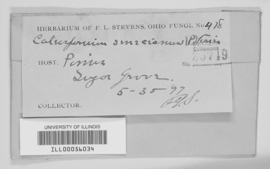 | unnamed | 1897 | F. L. Stevens | Sugar Grove. |
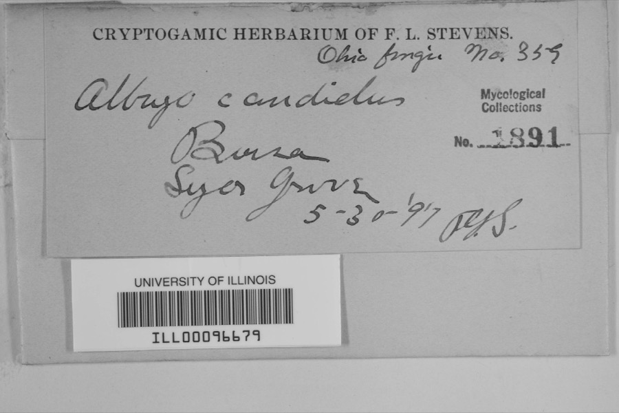 | Albugo candida (Pers. ex J.F.Gmel.) Roussel | 1897 | F.L. Stevens | Sugar Grove |
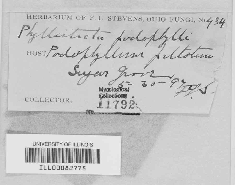 | Phyllosticta podophylli (M.A.Curtis) G.Winter | 1897 | F.L. Stevens | |
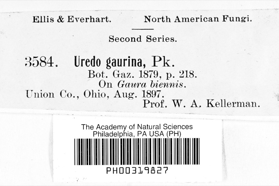 | Uredo | 1897 | Prof. W.A. Kellerman | |
 | Lanius ludovicianus Linnaeus, 1766 | 1898 | Collector(s): L. Kumlein | Milton, Ohio |
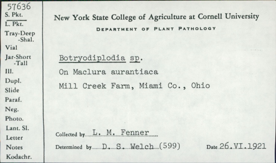 | Botryodiplodia (Sacc.) Sacc. | 1921 | L.M. Fenner | Mill Creek Farm |
 | Bombus impatiens Cresson, 1863 | 1926 | not recorded | |
 | Cyprinella spiloptera (Cope, 1867) | 1929 | MB Trautman | Stillwater River, trib of Miami River, northern part of Union Twnp |
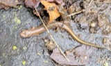 | Eurycea bislineata (Green, 1818) | 1929 | Walker, C. F. (Charles F.) | Ludlow Falls, Union Twp., Miami Co., Ohio |
 | Eurycea longicauda longicauda (Green, 1818) | 1929 | Walker, C. F. (Charles F.) | Ludlow Falls, Union Twp., Miami Co., Ohio |
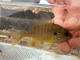 | Lepomis megalotis (Rafinesque, 1820) | 1929 | Trautman, M. B. (Milton Bernard) & Foster, R. (Robert) | Stillwater River, within north Union Township, near West Milton OH, Union Township |
 | Luxilus chrysocephalus Rafinesque, 1820 | 1929 | MB Trautman | Stillwater River at Covington, Newberry Twp |
All 265 specimens within 10 miles, at the Global Biodiversity Information Facility.
Mines and quarries near this place
8 within 5 milesRegional context, not property-specific evidence. The federal mineral resources record lists 8 workings within 5 miles of Laura: 4 past producers, 3 producers, 1 plant. 4 still produce. What was taken out: Sand and Gravel, Construction, Limestone, General, Stone, Crushed/Broken, Limestone, Dimension. Distance is straight-line from the map coordinates, so a quarry counted here may appear on a neighbouring settlement's page as well.
| Where | Site | Commodity | Status | Recorded |
|---|---|---|---|---|
| Gregory Quarry | Limestone, Dimension | Past Producer | ||
| Gregory Pit | Stone, Crushed/Broken | Producer | ||
| Gregory Quarry | Limestone, General | Past Producer | Sedimentary | |
| Gregory Quarry | Limestone, General | Past Producer | Sedimentary | |
| Gregory Quarry | Stone, Crushed/Broken | Producer | ||
| Steiners Pit | Sand and Gravel, Construction | Past Producer | Sedimentary | |
| Steiners Pit & Mill | Sand and Gravel, Construction | Plant | ||
| Woodville Pit | Sand and Gravel, Construction | Producer |
Storms near this place
7 since 1998Regional context, not property-specific evidence. The National Weather Service names Laura in 7 storm reports between 1998 and 2023: 4 thunderstorm wind, 2 hail, 1 tornado. No death or injury is recorded in these reports. Each account below is quoted exactly as the forecast office filed it, from the NOAA Storm Events Database, and each date opens the federal record of that event.
| When | Event | Place named | Harm | What the report says |
|---|---|---|---|---|
| April 2023 | Tornado (EF0) | Laura | $200,000 | The tornado first touched down near Pemberton Road, where it caused significant damage to a barn and a garage on Penny Road. The tornado continued east-northeast and moved through a commercial area on State Route 41 and then caused roof damage to several homes on the north side of Troy. Consistent damage continued to as far east as Deweese Road. Reports and photo evidence from numerous citizens in the area, in addition to emergency management officials, helped determine the extent of this tornado. Maximum winds were estimated to be around 85 mph. |
| June 2017 | Thunderstorm Wind | Laura | $25,000 | On Fenner Road, just to the west of Rangeline Road, one barn was partially destroyed with only some of it still standing, while a second one had major damage. |
| December 2015 | Thunderstorm Wind | Laura | $10,000 | A barn was destroyed by the wind. |
| June 2022 | Thunderstorm Wind | Laura | $3,000 | A few trees were downed near Markley Road and South Shiloh Road. |
| June 1998 | Thunderstorm Wind | Laura | $3,000 | Trees downed. |
| April 2020 | Hail | Laura | - | no account filed |
| June 1998 | Hail | Laura | - | no account filed |
Nearest settlements
The eight closest, with where each one stands in the county. Distances are straight-line, computed from the Geographic Names Information System coordinates.
| Map | Place | Distance | Sheets |
|---|---|---|---|
| Pattytown | 1.9 miles | 13 | |
| Potsdam | 2.2 miles | 9 | |
| Ludlow Falls | 3.7 miles | 12 | |
| Ellemans (historical) | 3.8 miles | 13 | |
| Pinebrook Estates | 3.9 miles | 12 | |
| Garland | 4.6 miles | 12 | |
| West Milton | 4.8 miles | 12 | |
| Pleasant Hill | 5.2 miles | 13 |
Elsewhere
Matched on this settlement's Geographic Names Information System number rather than its name, so it cannot be a different place of the same name in another state.
| Wikipedia article on Laura | An encyclopaedic summary. Its text is share-alike, so it is linked here rather than copied. |
| Wikidata item Q609195 | The structured record the population and elevation above come from. Public domain (CC0). |
Provenance
This settlement is recorded in the Geographic Names Information System as feature 1048908. The sheet list is computed by point-in-boundary test against the United States Geological Survey's historical topographic inventory. Both are works of the United States government and carry no copyright under 17 U.S.C. 105.
Specimens. Global Biodiversity Information Facility (GBIF), https://www.gbif.org/. Only records licensed CC0 or CC BY are used. Records licensed CC BY-NC are excluded because this site carries advertising. Images are checked individually and any whose licence is non-commercial, no-derivatives or unreadable is refused.
Mines and quarries. USGS Mineral Resources Data System (MRDS) https://mrdata.usgs.gov/mrds/ A work of the United States government, no copyright under 17 U.S.C. 105.
Storms. NOAA National Centers for Environmental Information, Storm Events Database https://www.ncei.noaa.gov/stormevents/ A work of the United States government, no copyright under 17 U.S.C. 105. Narratives are quoted verbatim from the National Weather Service report and are not edited or summarised.