 Block
Block
Potsdam, Ohio
9 topographic sheets cover this place, the earliest surveyed in 1905 and the latest in 1986. It stands in Union Township. It lies in ZIP code area 45361. The Survey maps it on the Laura quadrangle. 225 people lived here at the 2020 count. It stands 1,010 feet above sea level.
Population over time
2 figuresPotsdam fell from 288 to 225 between 2010 and 2020. These are the recorded population figures Wikidata holds for this place, reached through the Geographic Names Information System number this page is keyed on rather than by name, so they belong to this place and not to another of the same name. Most are census counts, but not all are: an early figure may be a founding or settlement estimate. The change column is computed, and is left blank where more than 20 years separate a figure from the one before it, because a gap that long is not a change between two counts.
| Year | People | Change |
|---|---|---|
| 2010 | 288 | |
| 2020 | 225 | -63 (-22%) |
Then and now
1905 to 1986The same ground, surveyed 81 years apart. Drag the handle to wipe between them. Both sheets are United States Geological Survey originals; neither has been altered.

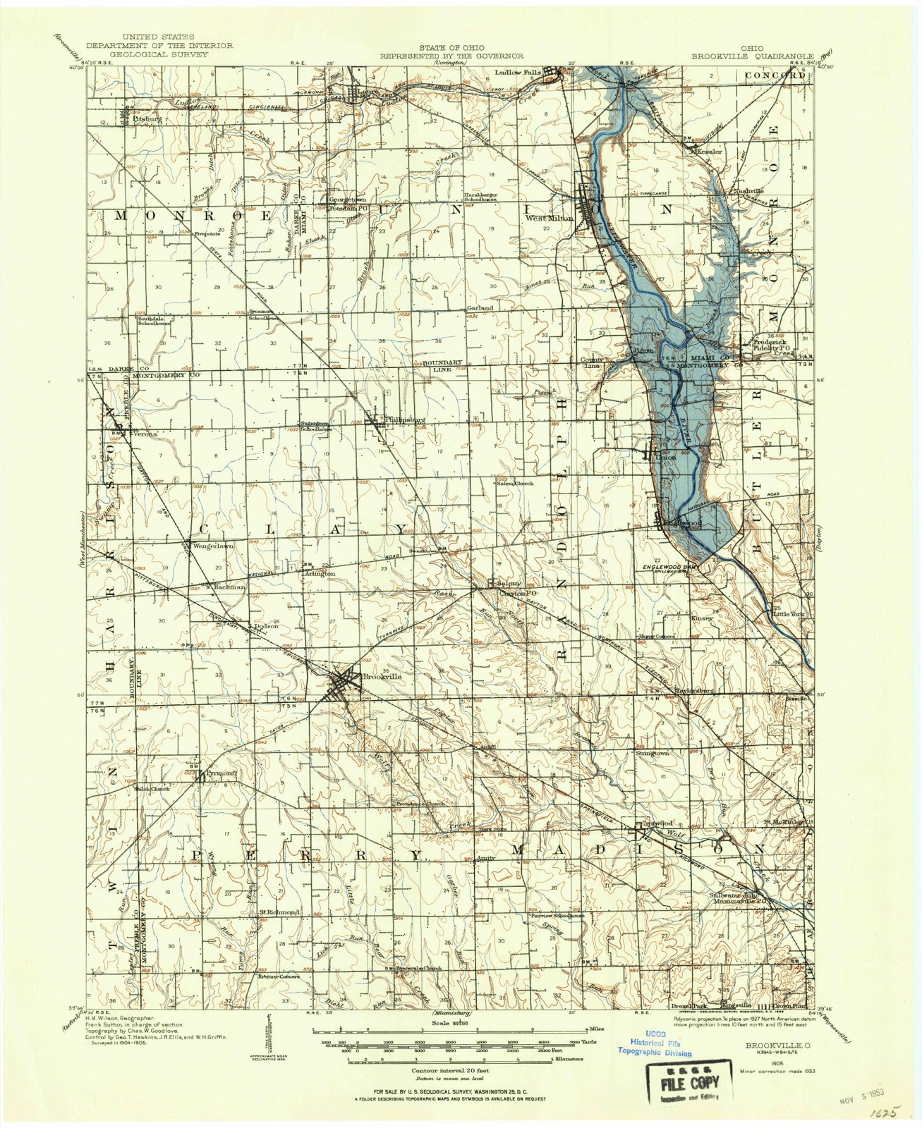
Topographic sheets covering this place
9 sheetsMatched by testing this settlement's coordinate against the published boundary of every sheet in the United States Geological Survey's historical collection. Each opens the scanned sheet at the Survey.
- 1905 USGS Brookville quadrangle1:62500
- 1953 USGS Cincinnati quadrangle1:250000
- 1953 USGS Cincinnati quadrangle1:250000
- 1953 USGS Cincinnati quadrangle1:250000
- 1957 USGS Cincinnati quadrangle1:250000
- 1961 USGS Laura quadrangle1:24000
- 1961 USGS Laura quadrangle1:24000
- 1986 USGS Dayton quadrangle1:100000
- 1986 USGS Dayton quadrangle1:100000






In the county-history sources
74,276 words on this townshipThe History of Miami County, Ohio, published 1880; The History of Miami County, Ohio : Containing a History of the County; Its Cities, Towns, Etc.; General and Local Statistics; Portraits of Early Settlers and Prominent Men; History of the Northwest Territory; History of Ohio; Map of Miami County; Constitution of the United States; Miscellaneous Matters, Etc., Etc, published 1880 names this settlement in its chapter on Union Township. These are the passages that mention it, exactly as the scans read.
C. ; John H. deceased, aged 1 year 11 months and 14 days He has never been* political aspirant ; hut has held the office of Supervisor and School Director. He Sd his wbb are members of the German Baptist Church, with which have belonged for a number of years. He is one of the Deacons, which distinction he has held three years. Mrs. E. died Jan. 8, 1873, aged 41 years. His second marriage was celebrated in February, 1878, with Mary H. Harlacher . she was bom in Montgomery Co. in 1835, and is a representative of the same church, as is hlS ^E^^LK^^Wactondth ; P. O. Laura ; bom in Darke Co. in the year 1837 ; is a son of John and Elizabeth Falknor, who were bora in this State, m which they made their home till their decease. His father was killed in a saw-mill in Phillipsburg in 1849 ; his mother died in the year 1876 They were Parsnto of seven children, viz., Mary A., Harriet, John W Albert, Margaret and Sarah j. Our subject was reared on the farm, and after his father s death remain wi widowed mother until he attained his majority. In 1857, he was married to ^Mary McCool, by whom he had four children, three of whom are living, viz., Semantna Erskine L. and Emily W. ; Viola, deceased. After his mamage he contanued farming in Darke Co. for a year, after which he came to this county and stall worked on the farm, having, in the meantime, purchased a house and lot in Laura. In 1869, he abandoned the farm, moved to Laura and engaged in the^ smithing business, which he has since successfully followed. He owns 72 acres of Me lan , 13 acres of which adjoins Laura, the balance near, on Ludlow s Creek. His long acquaintance with the people, combined with his skill as a workman, c^n?a'J? for Mr. F. a Ml share of patronage. He and his wife are members of the Obnstian Church, with which they have been connected for eighteen yeare, always tatong a lively interest in the cause and development of the Christian religion. Mrs. F. is a daughter of Richard and Martha McCool ; her father is deceased, but her motner is living, and resides with Mr. Falknor ; both were born in Ohio, but their paren came from South Carolina ; they were parents of four children, of whom only tn wife of our subject survives. n lfl
Passage source: The History of Miami County, Ohio, published 1880.
There appears to be some diversity of opinion in regard to the first of those resolute men who invaded the wild domain of nature in this township and wrested from her giant grasp the gifts with which she so reluctantly parts.
The weight of authority seems to be in favor of Henry Fouts, who, in company with Leonard and Adam Eller, in the year 1801, erected the first cabin nestled in - this forest primeval." The Ellers located in the southern part of the township, east of Stillwater, while Fouts settled on the west side. Part of the land owned by Fouts seventy -nine years ago, is still in possession of his posterity, he having been dead about fifty-seven years. The next year, Caleb Mendenhall, with a family of six, increased the same night of his arrival by the birth of a daughter to seven. The next year, 1803, John Mast and son-in-law, Frederick Yount, came, and located a mill-site higher up. They were followed in 1804, by David Mote, Sr., with his sons Jonathan, Jeremiah, William, John and Jesse, all except William, with families, settling further westward and northward. About this time the portion lying east of the river, was settled by Leonard Fincher, William Fincher, William Neal, Benjamin Pike, Jacob Byrket, and many others whose exact time of settlement is not known.
Machine-read from a century-old scan, so expect the errors a machine makes: misspelled names, dropped words, stray characters.
Read the whole chapter on Union Township - it names this place 13 more 13 times.
Specimens collected near this place
12 of 143 shownRegional context, not property-specific evidence. Museums hold 143 specimens collected within 10 miles of Potsdam between 1897 and 1963: 137 Animalia, 4 Fungi, 1 Unrecorded, 1 Chromista. 12 distinct Species records are shown. Collected by A V DEL, A. Gaufin, A. R. Gaufin and others. Each is a physical object with a catalogue number, and each entry opens the museum's record. This is what was collected and kept, not a survey of what lives here - nothing can be concluded from a species being absent.
| Image | Species | Year | Collected by | Where, as recorded |
|---|---|---|---|---|
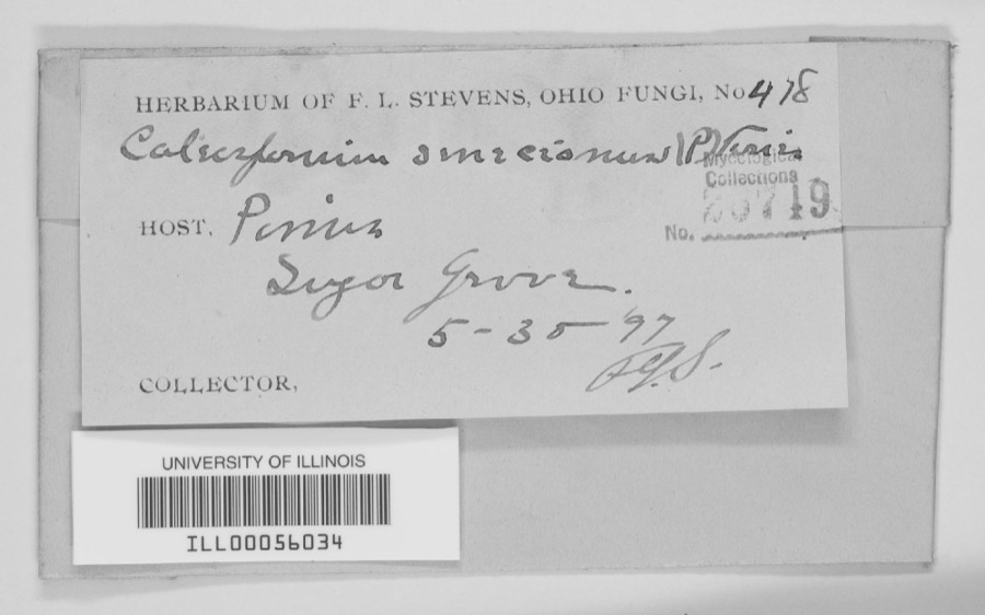 | unnamed | 1897 | F. L. Stevens | Sugar Grove. |
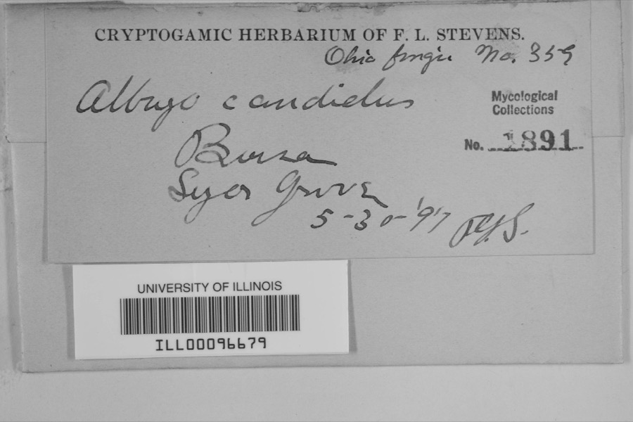 | Albugo candida (Pers. ex J.F.Gmel.) Roussel | 1897 | F.L. Stevens | Sugar Grove |
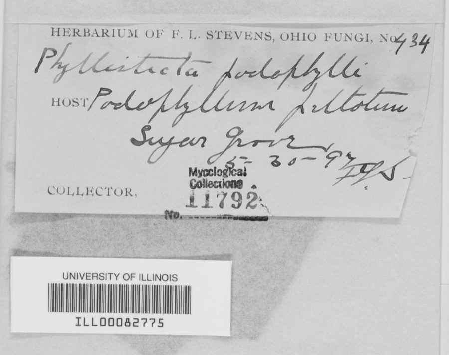 | Phyllosticta podophylli (M.A.Curtis) G.Winter | 1897 | F.L. Stevens | |
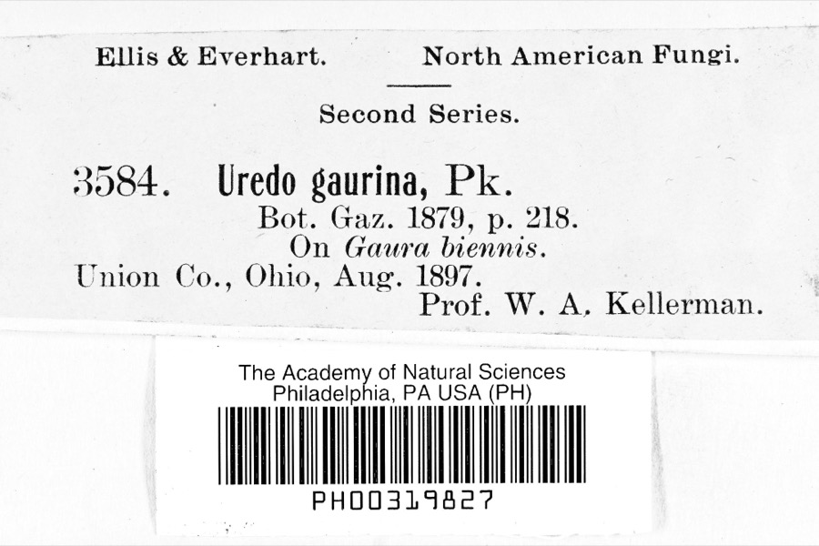 | Uredo | 1897 | Prof. W.A. Kellerman | |
 | Lanius ludovicianus Linnaeus, 1766 | 1898 | Collector(s): L. Kumlein | Milton, Ohio |
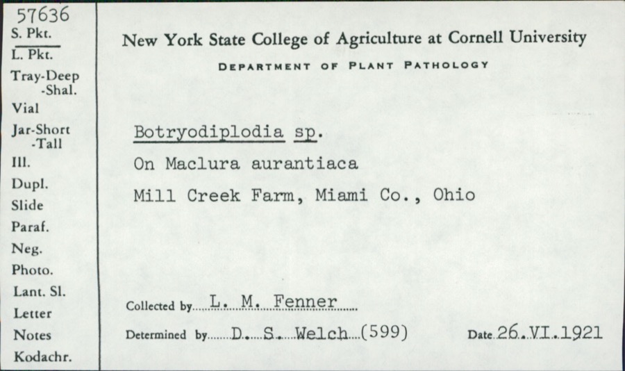 | Botryodiplodia (Sacc.) Sacc. | 1921 | L.M. Fenner | Mill Creek Farm |
 | Cyprinella spiloptera (Cope, 1867) | 1929 | MB Trautman | Stillwater River, trib of Miami River, northern part of Union Twnp |
 | Eurycea bislineata (Green, 1818) | 1929 | Walker, C. F. (Charles F.) | Ludlow Falls, Union Twp., Miami Co., Ohio |
 | Eurycea longicauda longicauda (Green, 1818) | 1929 | Walker, C. F. (Charles F.) | Ludlow Falls, Union Twp., Miami Co., Ohio |
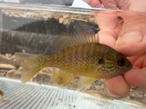 | Lepomis megalotis (Rafinesque, 1820) | 1929 | Trautman, M. B. (Milton Bernard) & Foster, R. (Robert) | Stillwater River, within north Union Township, near West Milton OH, Union Township |
 | Notemigonus crysoleucas (Mitchill, 1814) | 1929 | MB Trautman | Stillwater River, trib of Miami River, northern part of Union Twnp |
 | Notropis rubellus (Agassiz, 1850) | 1929 | MB Trautman | Stillwater River, trib of Miami River, northern part of Union Twnp |
All 143 specimens within 10 miles, at the Global Biodiversity Information Facility.
Mines and quarries near this place
5 within 5 milesRegional context, not property-specific evidence. The federal mineral resources record lists 5 workings within 5 miles of Potsdam: 3 past producers, 2 producers. 2 still produce. What was taken out: Limestone, General, Stone, Crushed/Broken, Limestone, Dimension. Distance is straight-line from the map coordinates, so a quarry counted here may appear on a neighbouring settlement's page as well.
| Where | Site | Commodity | Status | Recorded |
|---|---|---|---|---|
| Gregory Quarry | Limestone, Dimension | Past Producer | ||
| Gregory Pit | Stone, Crushed/Broken | Producer | ||
| Gregory Quarry | Limestone, General | Past Producer | Sedimentary | |
| Gregory Quarry | Limestone, General | Past Producer | Sedimentary | |
| Gregory Quarry | Stone, Crushed/Broken | Producer |
Storms near this place
4 since 1999Regional context, not property-specific evidence. The National Weather Service names Potsdam in 4 storm reports between 1999 and 2024: 3 tornado, 1 hail. The reports record 1 injury. Each account below is quoted exactly as the forecast office filed it, from the NOAA Storm Events Database, and each date opens the federal record of that event.
| When | Event | Place named | Harm | What the report says |
|---|---|---|---|---|
| May 2019 | Tornado (EF3) | Potsdam | 1 hurt, $10,000,000 | The tornado initially touched down in Darke County at 2125EST, about a mile southeast if Pitsburg. It moved east and entered Miami County at 2128EST along Hall Road, about a half mile northwest of Potsdam. ||As the tornado entered Miami County, significant tree damage occurred on State Route 721 south of Laura. Structural damage began to occur near the intersection of Wright Road and Markley Road, with partial roof loss to an outbuilding. On Ditmer Road and South Shiloh Road, nearly every property sustained tree damage, some of which was significant.||As the tornado neared State Route 571, structural damage became much more severe. Several homes on State Route 571 between South Shiloh Road and South Range Line Road were rendered uninhabitable. Many homes had at least partial roof removal and some sustained complete roof removal. A few homes suffered the collapse of some exterior walls and while this was more common with garage walls, it also occurred on a few well-built walls away from garages. At one home, a lawn tractor was thrown out into the adjacent field to the northeast.||Damage was very similar across the field on South Range Line Road. Two homes experienced complete roof removal, with one also having walls collapse on multiple sides of the second story of the home. Mud splatter on all sides of structures was significant, and one vehicle interior was largely covered in mud after the failure of the rear window. Another home lost a significant portion of the roof, as well as losing quite a bit of material from an interior wall after the winds had entered the structure. The rotating winds of the tornado were very obvious on this north-to-south oriented road. Along the northern portion of the tornado track, one home lost its entire roof and had it deposited hundreds of feet into the field to the west, opposite the direction of motion of the tornado. Along the southern portion of the tornado track, debris accumulated across the field, along a tree line over a quarter mile away to the east.||The width of this tornado was most evident as it passed east across Elleman Road. Damage was observed as far south as the intersection with State Route 571 and as far north as several spots along State Route 55. While the damage on State Route 55 was primarily to roofing material and trees, more significant structural damage continued to be observed a little farther south on Elleman Road.||The tornado maintained its intensity as it crossed State Route 48 about a mile and a half north of downtown West Milton. Tree damage was severe along this road, with canopy loss even to trees that remained standing. Many structures were heavily damaged or destroyed. The only known injury from this tornado occurred when a trailer home was flipped over. A well-built brick home suffered the collapse of large portions of the west-facing and south-facing walls, with near-complete roof removal. A garage adjacent to this property was flattened. A trailer home just to the south was completely destroyed, with the failure of nearly all exterior walls and even some interior walls. Debris from these homes and structures was carried about a half mile across the field, stopped only by the tree line from traveling farther.||Widespread tree damage and moderate structural damage continued to be observed as the tornado moved east across Calumet Road, Kessler-Frederick Road, and Kessler Road. One home on Kessler Road lost its entire roof and a full-size camper was thrown and wedged against the garage.||Less significant damage was observed after passing Kessler Road, where the tornado turned from the east to the southeast. Damage observed on Nashville Road south of West Kessler Cowlesville Road was limited to trees, and it is believed that the tornado dissipated somewhere in this vicinity.||This tornado was responsible for a lengthy swath of EF2 level damage, generally 120 to 130 mph, extending from State Route 571 to Kessler Road. However, damage to a few homes on State Route 571, South Range Line Road, and State Route 48, was notably more significant, with a combined degree of roof loss and exterior wall collapse that warranted an estimate of 140 mph winds, within the EF3 category. |
| March 2016 | Tornado (EF0) | Potsdam | $75,000 | The first evidence of damage occurred at a property on Hall Road. A few shingles were damaged on the house and one tree had a large limb broken off. A more concentrated area of damage occurred along and east of Stauffer Road, just north of the intersection with Coppock Road. Minor tree damage was observed at several properties on Stauffer Road, with a few healthy trees downed. A pine tree near the north end of the damage path was blown toward the southeast. One home had its sheet metal roof almost completely peeled off and deposited to the west of the home. Minor shingle damage occurred to a nearby garage. There was also significant scattering of minor debris in this location, including small limbs and a play structure. A shed located behind one of the residences was also destroyed with its debris scattered northwest into an adjacent field. |
| July 1999 | Tornado (F0) | Potsdam | $10,000 | A weak tornado knocked down trees and power lines and made a path through a corn field. |
| May 2024 | Hail | Potsdam | - | no account filed |
Nearest settlements
The eight closest, with where each one stands in the county. Distances are straight-line, computed from the Geographic Names Information System coordinates.
| Map | Place | Distance | Sheets |
|---|---|---|---|
| Laura | 2.2 miles | 9 | |
| Five Points | 3.0 miles | 9 | |
| Garland | 3.2 miles | 12 | |
| Pinebrook Estates | 4.0 miles | 12 | |
| Pattytown | 4.0 miles | 13 | |
| West Milton | 4.7 miles | 12 | |
| Ludlow Falls | 4.8 miles | 12 | |
| Ellemans (historical) | 5.2 miles | 13 |
Elsewhere
Matched on this settlement's Geographic Names Information System number rather than its name, so it cannot be a different place of the same name in another state.
| Wikipedia article on Potsdam | An encyclopaedic summary. Its text is share-alike, so it is linked here rather than copied. |
| Wikidata item Q2029716 | The structured record the population and elevation above come from. Public domain (CC0). |
Provenance
This settlement is recorded in the Geographic Names Information System as feature 1049103. The sheet list is computed by point-in-boundary test against the United States Geological Survey's historical topographic inventory. Both are works of the United States government and carry no copyright under 17 U.S.C. 105.
Specimens. Global Biodiversity Information Facility (GBIF), https://www.gbif.org/. Only records licensed CC0 or CC BY are used. Records licensed CC BY-NC are excluded because this site carries advertising. Images are checked individually and any whose licence is non-commercial, no-derivatives or unreadable is refused.
Mines and quarries. USGS Mineral Resources Data System (MRDS) https://mrdata.usgs.gov/mrds/ A work of the United States government, no copyright under 17 U.S.C. 105.
Storms. NOAA National Centers for Environmental Information, Storm Events Database https://www.ncei.noaa.gov/stormevents/ A work of the United States government, no copyright under 17 U.S.C. 105. Narratives are quoted verbatim from the National Weather Service report and are not edited or summarised.