 Block
Block
Lexington, Ohio
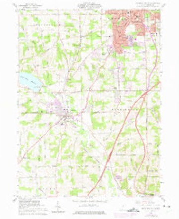
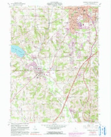
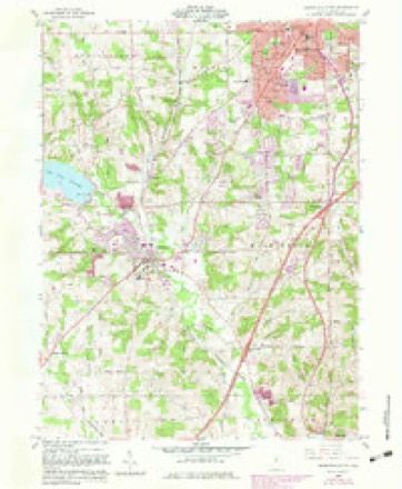
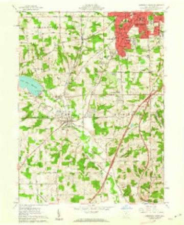
14 topographic sheets cover this place, the earliest surveyed in 1915 and the latest in 1994. It stands in Troy Township. It lies in ZIP code area 44904. The Survey maps it on the Mansfield South quadrangle. 4,848 people lived here at the 2020 count. It stands 1,217 feet above sea level.
Population over time
2 figuresLexington grew from 4,822 to 4,848 between 2010 and 2020. These are the recorded population figures Wikidata holds for this place, reached through the Geographic Names Information System number this page is keyed on rather than by name, so they belong to this place and not to another of the same name. Most are census counts, but not all are: an early figure may be a founding or settlement estimate. The change column is computed, and is left blank where more than 20 years separate a figure from the one before it, because a gap that long is not a change between two counts.
| Year | People | Change |
|---|---|---|
| 2010 | 4,822 | |
| 2020 | 4,848 | +26 (+1%) |
Then and now
1915 to 1994The same ground, surveyed 79 years apart. Drag the handle to wipe between them. Both sheets are United States Geological Survey originals; neither has been altered.

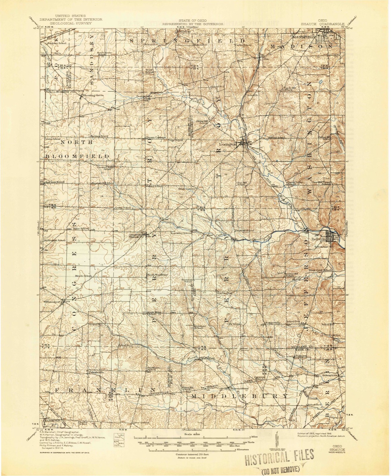
Topographic sheets covering this place
14 sheetsMatched by testing this settlement's coordinate against the published boundary of every sheet in the United States Geological Survey's historical collection. Each opens the scanned sheet at the Survey.
- 1915 USGS Shauck quadrangle1:62500
- 1943 USGS Shauck quadrangle1:62500
- 1950 USGS Marion quadrangle1:250000
- 1961 USGS Mansfield South quadrangle1:24000
- 1961 USGS Mansfield South quadrangle1:24000
- 1961 USGS Mansfield South quadrangle1:24000
- 1961 USGS Mansfield South quadrangle1:24000
- 1961 USGS Mansfield South quadrangle1:24000
- 1962 USGS Marion quadrangle1:250000
- 1966 USGS Marion quadrangle1:250000
- 1966 USGS Marion quadrangle1:250000
- 1966 USGS Marion quadrangle1:250000
- 1986 USGS Mansfield quadrangle1:100000
- 1994 USGS Mansfield quadrangle1:100000







In the county-history sources
4,519 words on this townshipHistory of Richland County Ohio, published 1880 names this settlement in its chapter on Troy Township. These are the passages that mention it, exactly as the scans read.
William and Daniel Cook came from Washington County, Penn., in 1815. William settled one mile west of Lexington, on the farm afterward owned by Mr. Chambers. Daniel settled two and a half miles west of Mansfield. They put in their crops. and in the fall returned to bring their families. A large wagon, drawn by beasts, and in consequence devoted his leisure In 1831, Mr. Cook removed to a farm three miles southwest of Mansfield, and in 1855 moved to the city.
Passage source: History of Richland County Ohio, published 1880.
Among the later settlers are various names more or less familiar. Alexander Abernathy, an aged and retired physician, was born in 1810, in Pennsylvania ; graduated in 1831; practiced in Perry County, Penn.; removed to Ohio in 1836, and finally located at Lexington in 1837. He married Miss Catherine Fulton in 1843, who bore him four children. Mr. A. was a member of the Legislature in 1845 and also a subsequent term; he was a stanch Democrat.
Passage source: History of Richland County Ohio, published 1880.
A. J. and Henry Winterstien came to Ohio in 1821, and located near Lexington. They are prominent members of the Presbyterian Church and active, successful farmers. Thomas Cook, youngest son of " Uncle Noah," has been identified with the interests of Troy from his early childhood, first in the capacity of pupil in the public school, afterward, for many years, as the village schoolmaster, then as a farmer, and in various other pursuits. James McCluer, Moses Sowers, Mr. Beverstock and others, are among the later but active and enterprising settlers in this vicinity.
Passage source: History of Richland County Ohio, published 1880.
Machine-read from a century-old scan, so expect the errors a machine makes: misspelled names, dropped words, stray characters.
Read the whole chapter on Troy Township - it names this place 7 more 7 times.
Specimens collected near this place
12 of 708 shownRegional context, not property-specific evidence. Museums hold 708 specimens collected within 10 miles of Lexington between 1835 and 1975: 493 Plantae, 204 Animalia, 11 Fungi. 12 distinct Species records are shown. Collected by Berra, T. (Tim), Berra, T. M. (Tim M.) & Berra, T. M. (Tim M.), C. G. Lloyd and others. Each is a physical object with a catalogue number, and each entry opens the museum's record. This is what was collected and kept, not a survey of what lives here - nothing can be concluded from a species being absent.
| Image | Species | Year | Collected by | Where, as recorded |
|---|---|---|---|---|
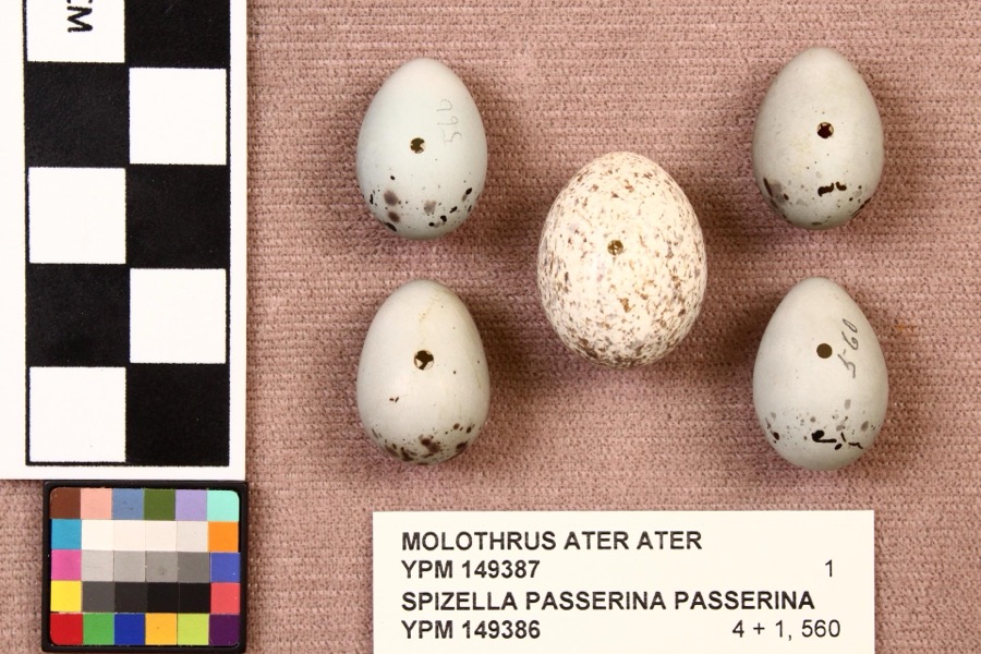 | Molothrus ater ater (Boddaert, 1783) | 1892 | not recorded | Mansfield |
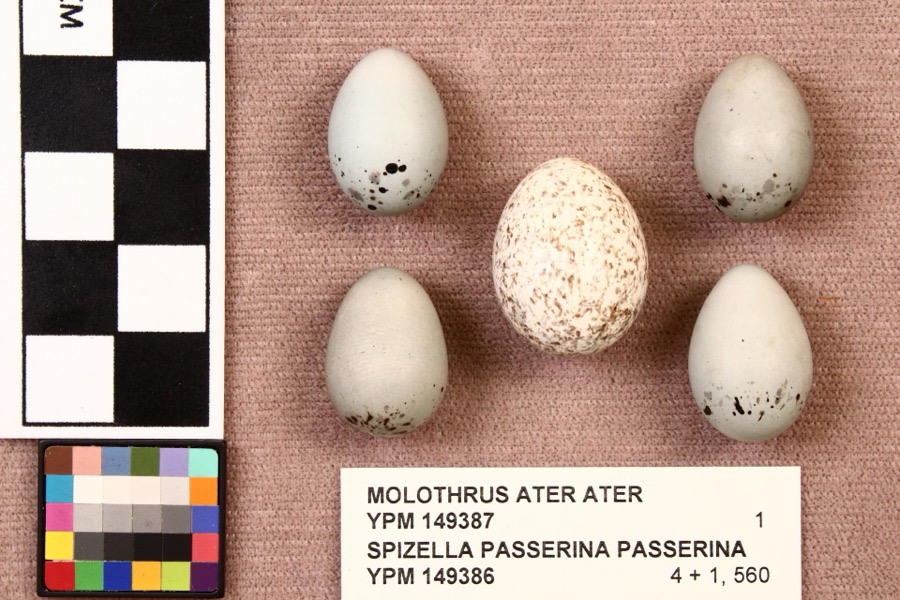 | Spizella passerina passerina (Bechstein, 1798) | 1892 | not recorded | Mansfield |
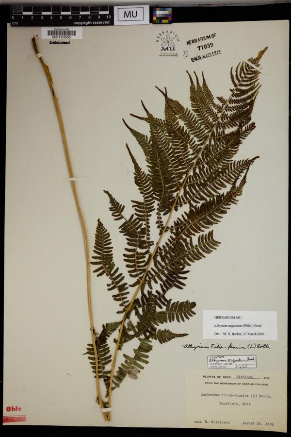 | Athyrium angustum (Willd.) C.Presl | 1895 | Wilkinson, E. | Mansfield. |
 | Alisma subcordatum Raf. | 1835 | Wilkinson, E. | Mansfield |
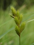 | Carex scoparia Schkuhr ex Willd. | 1835 | Wilkinson, E. | Mansfield |
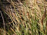 | Carex stricta Lam. | 1835 | Herb. of E. Wilkinson | Mansfield |
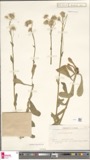 | Erigeron bellidifolius Muhl. ex Willd. | 1835 | Wilkinson,E. 5229 | [USA, Ohio] Mansfield, Ohio. |
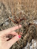 | Penthorum sedoides L. | 1835 | E. Wilkinson | Mansfield |
 | Verbascum thapsus L. | 1835 | Wilkinson, E. | Mansfield |
 | Achillea millefolium L. | 1836 | Wilkinson, E. | Mansfield |
 | Angelica atropurpurea L. | 1836 | Wilkinson, E. | Mansfield |
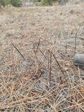 | Apocynum androsaemifolium L. | 1836 | Wilkinson, E. | Mansfield |
All 708 specimens within 10 miles, at the Global Biodiversity Information Facility.
Mines and quarries near this place
5 within 5 milesRegional context, not property-specific evidence. The federal mineral resources record lists 5 workings within 5 miles of Lexington: 3 past producers, 1 producer, 1 plant. 2 still produce. What was taken out: Sand and Gravel, Construction. Distance is straight-line from the map coordinates, so a quarry counted here may appear on a neighbouring settlement's page as well.
| Where | Site | Commodity | Status | Recorded |
|---|---|---|---|---|
| Bellville Pit | Sand and Gravel, Construction | Past Producer | Sedimentary | |
| Derwacter S & G Belleville Pit | Sand and Gravel, Construction | Producer | ||
| Lexington Pit | Sand and Gravel, Construction | Past Producer | Sedimentary | |
| Lexington Pit | Sand and Gravel, Construction | Past Producer | Sedimentary | |
| Lexington Pit & Mill | Sand and Gravel, Construction | Plant |
Storms near this place
36 since 1996Regional context, not property-specific evidence. The National Weather Service names Lexington in 36 storm reports between 1996 and 2026: 19 thunderstorm wind, 16 hail, 1 flash flood. No death or injury is recorded in these reports. Each account below is quoted exactly as the forecast office filed it, from the NOAA Storm Events Database, and each date opens the federal record of that event.
| When | Event | Place named | Harm | What the report says |
|---|---|---|---|---|
| June 2012 | Thunderstorm Wind | Lexington | $1,000,000 | An intense line of thunderstorms or Derecho moved across southern Richland County during the afternoon of June 29th causing extensive damage. Winds were estimated to be as much as 65 mph. Over 50 percent of residents in the southern third to half of the county lost power during this event. Power was not completely restored for several days. Hundreds of trees were downed across the county along with many utility poles forcing the closure of some of roads and streets. Damage to homes and buildings was also extensive. Dozens of homes and buildings lost roofing or siding with many other homes damaged by fallen trees. Clean up costs were extensive. The clean up was hampered by an ongoing heat wave with afternoon temperatures in the upper 90s. Significant crop losses are also expected. Damage from this storm in southern Richland County was comparable to the remnants of Hurricane Ike in September 2008. |
| February 2011 | Flash Flood | Lexington | $250,000 | Heavy rain and rapid snow melt led to a rapid rise in the Clear Fork at Lexington. Six to ten inches of heavy snow was on the ground at the onset of the rain which measured between 1.5-2. This snow rapidly melted as temperatures warmed into the 50s on the 28th. Up to an additional inch of water equivalent rainfall was released from the melted snow. Several homes and businesses were impacted by the flood waters which climbed quickly, with reports of water levels 4 feet high on the first floor of a church on Lexington Avenue. |
| May 2018 | Thunderstorm Wind | Lexington | $100,000 | Thunderstorm winds downed trees and limbs in Lexington and the surrounding area. At 1000 people lost power from the storms. |
| July 1998 | Thunderstorm Wind | Lexington | $80,000 | Trees and power lines were downed. Part of a barn roof was blown off and a pole barn was downed. |
| June 2017 | Thunderstorm Wind | Lexington | $75,000 | Thunderstorm winds caused damage in Lexington and surrounding Troy Township. Several trees large trees and utility poles were downed. Scattered power outages were reported in the area. |
| October 2013 | Thunderstorm Wind | Lexington | $15,000 | Thunderstorm winds downed several trees. |
| May 1996 | Thunderstorm Wind | Lexington | $15,000 | no account filed |
| August 2016 | Thunderstorm Wind | Lexington | $10,000 | A trained spotter reported several trees down south of Lexington. Trees were reported down at Caster and Route 97, Route 546 and Mock Road, and on Kings Corners Road. |
| June 2010 | Thunderstorm Wind | Lexington | $10,000 | Thunderstorm winds downed several trees in the Lexington area. |
| May 2005 | Thunderstorm Wind | Lexington | $10,000 | Several trees reported down. |
| June 2015 | Thunderstorm Wind | Lexington | $8,000 | Thunderstorm winds tore a gutter off a barn, blew down several small trees and other large limbs, and flipped a swing set on Lexington Ave. |
| September 2017 | Thunderstorm Wind | Lexington | $5,000 | Thunderstorm winds tore part of a roof off of a home. |
| April 2003 | Thunderstorm Wind | Lexington | $5,000 | Thunderstorm winds downed one tree and several large limbs to the east of Lexington. |
| May 2003 | Thunderstorm Wind | Lexington | $5,000 | Thunderstorm winds downed two trees. |
| April 2002 | Hail | Lexington | $5,000 | Dime size hail was reported one mile north of Lexington. |
| June 2002 | Hail | Lexington | $5,000 | Dime size hail was observed east of Lexington near the intersection of Interstate 71 and State Route 13. |
| May 2003 | Hail | Lexington | $3,000 | Quarter size hail was observed. |
| July 2005 | Thunderstorm Wind | Lexington | $2,000 | Several large limbs were reported down. |
| June 2017 | Thunderstorm Wind | Lexington | $1,000 | Thunderstorm winds downed a large tree north of Lexington. |
| July 2017 | Thunderstorm Wind | Lexington | $1,000 | Thunderstorm winds downed a large tree near Lexington. |
| March 2026 | Hail | Lexington | - | Hail up to quarter-size on the northwest side of Lexington. |
| June 2025 | Thunderstorm Wind | Lexington | - | Tree downed along U.S. Route 42 in Lexington. |
| April 2025 | Hail | Lexington | - | Hail up to quarter-size along OH-546, about one-mile south of Lexington. |
| April 2025 | Hail | Lexington | - | Hail up to penny-size in Lexington. |
| April 2025 | Hail | Lexington | - | Hail up to quarter-size in Lexington, near the intersection of Orchard Park Road and Lexington Avenue. |
| June 2022 | Thunderstorm Wind | Lexington | - | Trees snapped in half and roof blown off mobile home in Lexington. |
| May 2018 | Hail | Lexington | - | Penny sized hail was reported. |
| April 2014 | Hail | Lexington | - | Trained weather spotters reported nickel size hail in a swath from Lexington to Lucas. Wind were also estimated at 50 mph. |
| March 2012 | Hail | Lexington | - | Penny sized hail was observed. |
| July 2006 | Hail | Lexington | - | Quarter size hail was observed. |
| July 2005 | Thunderstorm Wind | Lexington | - | A trained observer estimated winds to be 60 mph as the severe thunderstorms passed through the area. |
| June 2004 | Hail | Lexington | - | Penny size hail was observed. |
| April 2001 | Hail | Lexington | - | Nickel size hail was reported one mile northeast of Ashland. |
| April 2000 | Hail | Lexington | - | no account filed |
| July 1999 | Hail | Lexington | - | no account filed |
| May 1998 | Hail | Lexington | - | no account filed |
Nearest settlements
The eight closest, with where each one stands in the county. Distances are straight-line, computed from the Geographic Names Information System coordinates.
| Map | Place | Distance | Sheets |
|---|---|---|---|
| Hanley Village | 2.5 miles | 14 | |
| Alta | 3.8 miles | 14 | |
| South Boulevards | 4.6 miles | 14 | |
| Ontario | 5.6 miles | 14 | |
| Millsboro | 5.7 miles | 13 | |
| Cesarea | 5.8 miles | 13 | |
| Little Washington | 5.9 miles | 13 | |
| Sunnyview | 6.3 miles | 14 |
Elsewhere
Matched on this settlement's Geographic Names Information System number rather than its name, so it cannot be a different place of the same name in another state.
| Wikipedia article on Lexington | An encyclopaedic summary. Its text is share-alike, so it is linked here rather than copied. |
| Wikidata item Q1759463 | The structured record the population and elevation above come from. Public domain (CC0). |
Provenance
This settlement is recorded in the Geographic Names Information System as feature 1064992. The sheet list is computed by point-in-boundary test against the United States Geological Survey's historical topographic inventory. Both are works of the United States government and carry no copyright under 17 U.S.C. 105.
Specimens. Global Biodiversity Information Facility (GBIF), https://www.gbif.org/. Only records licensed CC0 or CC BY are used. Records licensed CC BY-NC are excluded because this site carries advertising. Images are checked individually and any whose licence is non-commercial, no-derivatives or unreadable is refused.
Mines and quarries. USGS Mineral Resources Data System (MRDS) https://mrdata.usgs.gov/mrds/ A work of the United States government, no copyright under 17 U.S.C. 105.
Storms. NOAA National Centers for Environmental Information, Storm Events Database https://www.ncei.noaa.gov/stormevents/ A work of the United States government, no copyright under 17 U.S.C. 105. Narratives are quoted verbatim from the National Weather Service report and are not edited or summarised.