Listed on the National Register of Historic Places in
1979. A historic map-sheet match is not published yet. The record needs a coordinate-quality review before it can be joined to a sheet boundary.
From the record
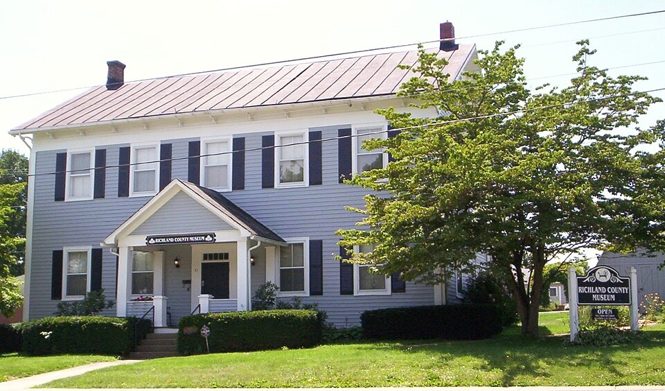
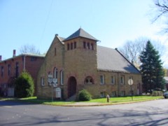
“First Congregational Church and Lexington School consists of an historic church building located at 47 Delaware Street and an historic school building located at 51 W. The school building is now the Richland County Museum.”
Wikipedia article First Congregational Church and Lexington School, CC BY-SA 4.0.
one of 61 National Register listings in Richland County · listed in 1979 · category: Building.
National Register reference number.79001929- the number the National Park Service assigned this property when it was listed, and the key its nomination file is catalogued under at the National Archives.
The ground it stands on
4,519 words
The chapter on Troy Township in History of Richland County Ohio, published 1880 names Lexington. This is what it says, exactly as the scans read.
William and Daniel Cook came from Washington County, Penn., in 1815. William settled one mile west of Lexington, on the farm afterward owned by Mr. Chambers. Daniel settled two and a half miles west of Mansfield. They put in their crops. and in the fall returned to bring their families. A large wagon, drawn by beasts, and in consequence devoted his leisure In 1831, Mr. Cook removed to a farm three miles southwest of Mansfield, and in 1855 moved to the city.
Among the later settlers are various names more or less familiar. Alexander Abernathy, an aged and retired physician, was born in 1810, in Pennsylvania ; graduated in 1831; practiced in Perry County, Penn.; removed to Ohio in 1836, and finally located at Lexington in 1837. He married Miss Catherine Fulton in 1843, who bore him four children. Mr. A. was a member of the Legislature in 1845 and also a subsequent term; he was a stanch Democrat.
Regional context, not property-specific
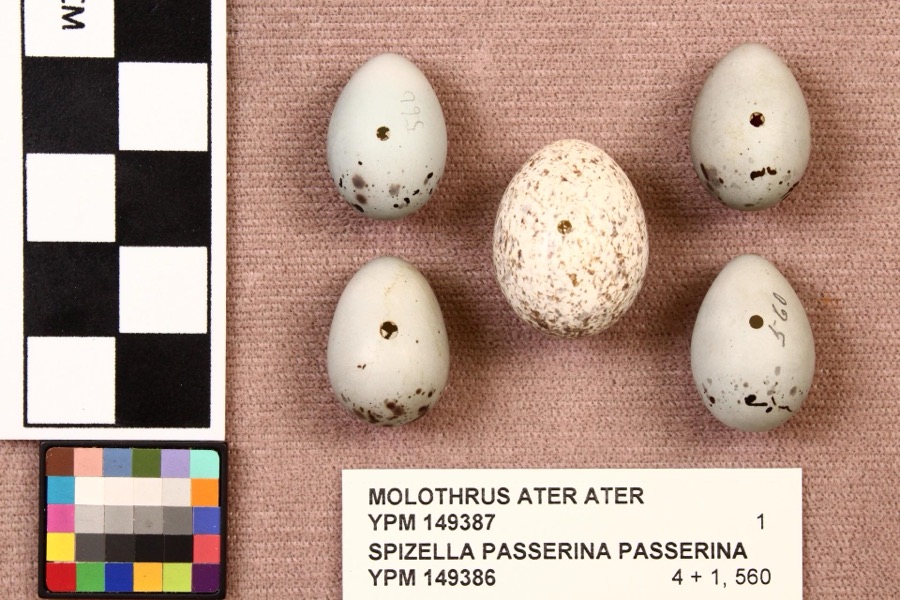
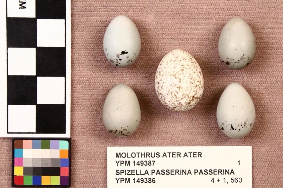
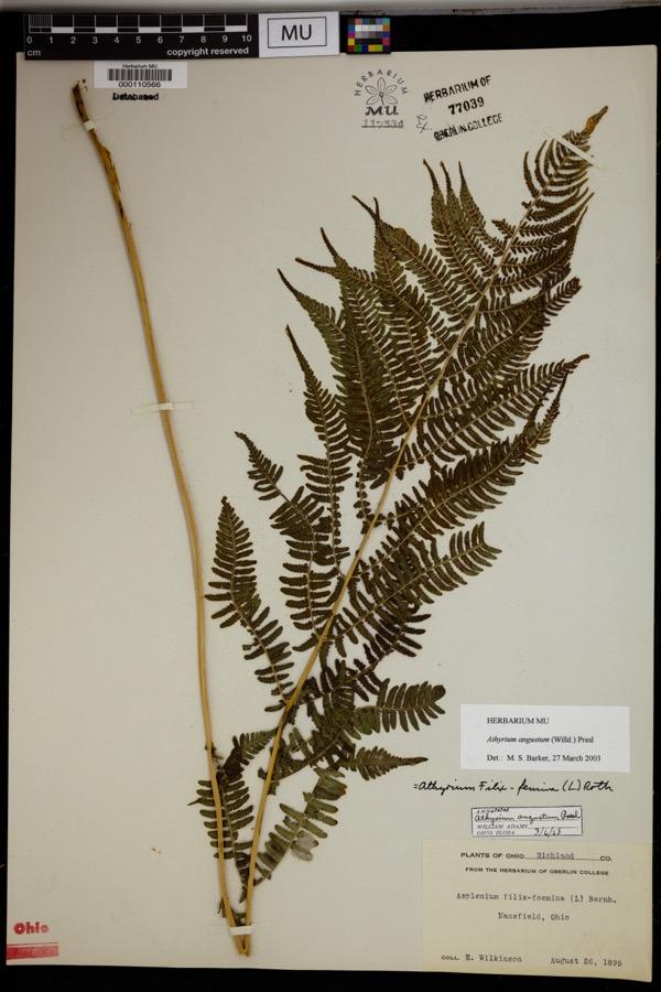
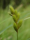
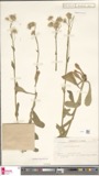
evidence. Museums hold 707 specimens
collected within 10 miles of First Congregational Church And Lexington School between 1835 and
1975: 492 Plantae, 204 Animalia, 11 Fungi. 12 distinct Species records are shown.
Collected by Berra, T. (Tim), Berra, T. M. (Tim M.) & Berra, T. M. (Tim M.), C. G. Lloyd and others. Each is a
physical object with a catalogue
number, and each entry opens the museum's record. This is what was
collected and kept, not a survey of what lives here - nothing can be
concluded from a species being absent.
Regional context, not property-specific
evidence. The federal mineral resources record lists
5 workings within 5 miles of First Congregational Church And Lexington School: 3 past producers, 1 producer, 1 plant.
2 still produce. What was taken out: Sand and Gravel, Construction. Distance is straight-line from the
map coordinates, so a quarry counted here may appear on a neighbouring
settlement's page as well.
Regional context, not property-specific
evidence. The National Weather Service names
Lexington, the town this property stands in, in 36 storm reports between 1996 and 2026: 19 thunderstorm wind, 16 hail, 1 flash flood.
No death or injury is recorded in these reports. Each account below is quoted exactly as the forecast office
filed it, from the NOAA Storm Events Database, and each date
opens the federal record of that event.
An intense line of thunderstorms or Derecho moved across southern Richland County during the afternoon of June 29th causing extensive damage. Winds were estimated to be as much as 65 mph. Over 50 percent of residents in the southern third to half of the county lost power during this event. Power was not completely restored for several days. Hundreds of trees were downed across the county along with many utility poles forcing the closure of some of roads and streets. Damage to homes and buildings was also extensive. Dozens of homes and buildings lost roofing or siding with many other homes damaged by fallen trees. Clean up costs were extensive. The clean up was hampered by an ongoing heat wave with afternoon temperatures in the upper 90s. Significant crop losses are also expected. Damage from this storm in southern Richland County was comparable to the remnants of Hurricane Ike in September 2008.
Heavy rain and rapid snow melt led to a rapid rise in the Clear Fork at Lexington. Six to ten inches of heavy snow was on the ground at the onset of the rain which measured between 1.5-2. This snow rapidly melted as temperatures warmed into the 50s on the 28th. Up to an additional inch of water equivalent rainfall was released from the melted snow. Several homes and businesses were impacted by the flood waters which climbed quickly, with reports of water levels 4 feet high on the first floor of a church on Lexington Avenue.
Thunderstorm winds caused damage in Lexington and surrounding Troy Township. Several trees large trees and utility poles were downed. Scattered power outages were reported in the area.
A trained spotter reported several trees down south of Lexington. Trees were reported down at Caster and Route 97, Route 546 and Mock Road, and on Kings Corners Road.
No historic map-sheet match is published
for this property yet. That does not mean no map exists. This record needs
a coordinate-quality review before it can be joined to a sheet boundary.
Browse the county's mapped places while that work is
pending.
From the nomination file
2,276 words on record
When this property was proposed for the
National Register, someone wrote the case for it: what the building is,
and why it matters. That document is a federal record in the public domain.
It is quoted below word for word, never summarised. The text was read off the scanned case file by machine, so the
occasional stray character is the recogniser's and the 1970s
typewriter's.
Description of the property
altered, thus precluding the delineation of a historic district. The church is an amalgam of popular styles from the mid 19th century. One lature and the general scale, massing, and roofline of the building are the CONDITION UNEXPOSED EXCELLENT DETERIORATED UNALTERED XGOOD FAIR CHECK ONE The tower is entered on front and side through double doors with an ogee arch has been closed.
buildings.Both were constructed during the mid l9th century and remain as an expedient way of suggesting a true pointed arch.The double hung sash are cleared lots in the midst of a wooded residential neighborhood, one block The First Congregational Church is a free standing rectangular building, five by a local carpenter or builder is the dominant stylistic source.The large atop is an octagonal needle spire with metal ball finial.
observes elements from the Greek Revival but the Gothic Revival as interpreted scale entablature which forms returns on the gable ends is composed of plain glazed with large frosted rectangular panes surrounded by a margin of small of single family detached houses which were constructed during the mid 19th the building.The first stage of two stories projects beyond the building walls; pieces of wood with only the top cornice board possessing a mold. This entab- applied decorative wood boards forming an arcade standing on a corbeled belt is a diamond. The smaller second stage or belfry is also shiplap sided with an arcade beneath of the arcade on each face is an eight pedaled flower within a circle.
and new siding abut and a joint line in the foundation and entablature.An siding.The gable roof has a standing seam metal cover.
Revival. ART ARCHEOLOGY-HISTORIC SCIENCE PERIOD THEATER BUILDER/ARCHITECT LAW SIGNIFICANCE MILITARY _COMMUNICATIONS INDUSTRY location for institutional building within Lexington. Main Street which runs _POLITICS/GOVERNMENT The Church Street Historic Group of Lexington includes the two remaining institutional and individually significant for religion and education respectively. SCULPTURE _EXPLORATION/SETTLEMENT Congregational Church.The major architectural feature of the church was added in and between the two buildings, the Methodist Episcopal Church is depicted.Its site a suitable and efficient building for the education of the community's youth.
as a functional utilitarian building and remains in a relatively unaltered condition left with a number of the congregation and built the New School Presbyterian Church _PREHISTORIC 1873 when the building was extended forward an additional bay and the highly detailed AGRICULTURE of a village school that was constructed during the mid 19th century.It was built _TRANSPORTATION The school is indicated on its present site.To the west is the church, then known or carpenters'interpretations of first the Greek Revival and later the Gothic .ENGINEERING The building is significant as the earliest remaining church in Lexington.Its parallel to the north was and is the commercial street for the community.
buildings from the l9th century that were constructed along and in the vicinity of At that time, it was purchased by the Columbia Grange for meeting hall purposes. The Lexington School was built during the 1850's and used as such until 1895. In 1965, the Grange was dissolved and its trustees deeded the building to the The 1856 map of Lexington indicates a number of institutional buildings in the area. _SOCIAL/HUMANITARIAN In 1844,a dispute over the slavery issue caused a split in the Lexington Presbyterian X1800-1899 the "old School Presbyterian Church'.It appears Church Street developed as the - INVENTION - CONSERVATION in 1846.
Quoted from the National Register nomination
for reference 79001929, 15 pages, held by the National Archives in Record
Group 79. See the
catalogue record.
Listed places nearby
6 within 8 miles
Other National Register properties close
enough to walk or drive between, ordered by distance from this one. Both
positions come from the same geocoding pass that matched these properties
to their map sheets.
Listing record. National Park Service National Register of Historic Places, listed-properties dataset, current to 2026-05-22.
Map join. Address geocoded through the United States Census geocoder, then tested against the published boundary of every sheet in the USGS Historical Topographic Map Collection.
How this page is made. Listing fields come from federal records; map-sheet coverage is a labelled coordinate-to-boundary calculation, not a source-field claim.
Specimens. Global Biodiversity Information Facility (GBIF), https://www.gbif.org/. Only records licensed CC0 or CC BY are used. Records licensed CC BY-NC are excluded because this site carries advertising. Images are checked individually and any whose licence is non-commercial, no-derivatives or unreadable is refused.
Mines and quarries. USGS Mineral Resources Data System (MRDS) https://mrdata.usgs.gov/mrds/ A work of the United States government, no copyright under 17 U.S.C. 105.
Storms. NOAA National Centers for Environmental Information, Storm Events Database https://www.ncei.noaa.gov/stormevents/ A work of the United States government, no copyright under 17 U.S.C. 105. Narratives are quoted verbatim from the National Weather Service report and are not edited or summarised.
 Block
Block