 Block
Block
Lisbon, Ohio
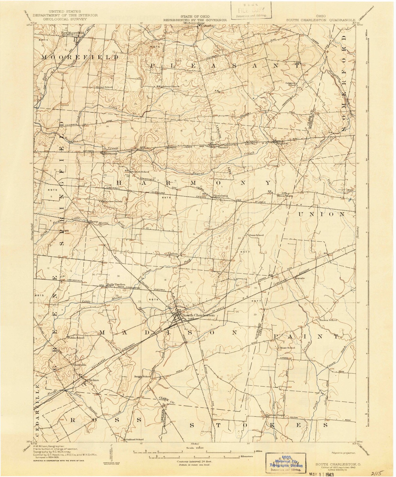
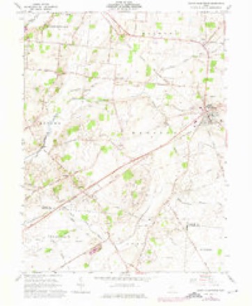
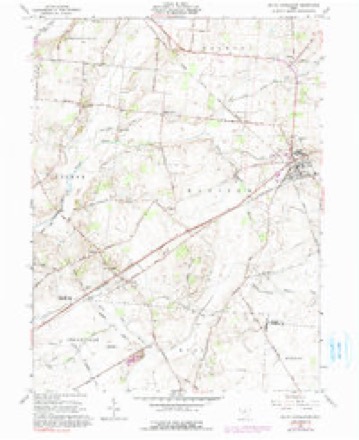
12 topographic sheets cover this place, the earliest surveyed in 1907 and the latest in 1986. It stands in Harmony Township. It lies in ZIP code area 45368. The Survey maps it on the South Charleston quadrangle.
Then and now
1907 to 1986The same ground, surveyed 79 years apart. Drag the handle to wipe between them. Both sheets are United States Geological Survey originals; neither has been altered.

Topographic sheets covering this place
12 sheetsMatched by testing this settlement's coordinate against the published boundary of every sheet in the United States Geological Survey's historical collection. Each opens the scanned sheet at the Survey.
- 1907 USGS South Charleston quadrangle1:62500
- 1907 USGS South Charleston quadrangle1:62500
- 1947 USGS Columbus quadrangle1:250000
- 1961 USGS Columbus quadrangle1:250000
- 1961 USGS South Charleston quadrangle1:24000
- 1961 USGS South Charleston quadrangle1:24000
- 1961 USGS South Charleston quadrangle1:24000
- 1962 USGS Columbus quadrangle1:250000
- 1967 USGS Columbus quadrangle1:250000
- 1967 USGS Columbus quadrangle1:250000
- 1986 USGS Springfield quadrangle1:100000
- 1986 USGS Springfield quadrangle1:100000







In the county-history sources
50,366 words on this townshipThe History of Clark County Ohio,, published 1881 names this settlement in its chapter on Harmony Township. These are the passages that mention it, exactly as the scans read.
This excellent flouring-mill is on the line of the N. Y., P. & O. Railroad, three and a half miles west of Springfield, and on the right bank of Mad River. It was erected in 1831-32, by Peter Sintz, Sr., and was improved in 1880 by J. & S. Arthur, the present owners. Mr. Sintz managed the milling business here nearly twenty years, and then leased it to George Grisso for five years. The Atlantic & Great Western Railway Company (N. Y., P. & O.) then purchased it of Sintz about the year 1804. It was subsequently sold at Sheriff's sale, and was purchased by George Grisso for $6,500. Grisso ran the business till 1879, when Joseph Arthur became the owner, and in a short time was succeeded by his two sons, J. & S. Arthur. The building is six stories high, forty by sixty feet in size, uses two American turbine wheels, and is valued at $8,000. Does all kinds of custom work. J. & S. Arthur, proprietors, Springfield, Ohio.
Passage source: The History of Clark County Ohio,, published 1881.
This burial-place was laid out by John Snodgrass about 1820, and is located on Section 11, nearly four miles east of Springfield, and 200 yards north of the National road, on a bluff near the left of Beaver Creek. It is well inclosed but somewhat neglected in other respects, and the following list tells of pioneers who have found here their "six feet of earth."
Passage source: The History of Clark County Ohio,, published 1881.
Herbert W. Huffman, died October, 1820, aged thirty-three; Sarah Huff- . man, died March, 1842, aged fifty-two; Silvanus Tuttle, died January, 1843, aged eighty-two; Mary Tuttle, died May, 1848, aged eighty-five; Luke Byrd, died August 31, 1828, aged fifty-five; Catharine Byrd, September, 1835; John D. Jenkins, died March, 1848, aged eighty-two; William Beesley, died January, 1825, aged fifty-one; Mary Tuttle, died May, 1856, aged seventy-two. Quite a number of graves of those buried in the early years of the history of this ceme- . tery are unmarked by any memorial.
Passage source: The History of Clark County Ohio,, published 1881.
Machine-read from a century-old scan, so expect the errors a machine makes: misspelled names, dropped words, stray characters.
Read the whole chapter on Harmony Township - it names this place 24 more 24 times.
Specimens collected near this place
12 of 363 shownRegional context, not property-specific evidence. Museums hold 363 specimens collected within 10 miles of Lisbon between 1870 and 1974: 283 Animalia, 61 Plantae, 19 Fungi. 12 distinct Species records are shown. Collected by A. N. Leeds, A. R. Boone, B. Montgomery, L. Alward & P. Alward and others. Each is a physical object with a catalogue number, and each entry opens the museum's record. This is what was collected and kept, not a survey of what lives here - nothing can be concluded from a species being absent.
| Image | Species | Year | Collected by | Where, as recorded |
|---|---|---|---|---|
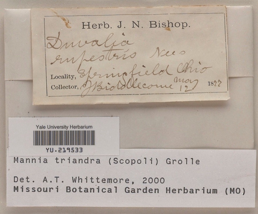 | Mannia triandra (Scop.) Grolle | 1877 | J. E. Biddlecome | |
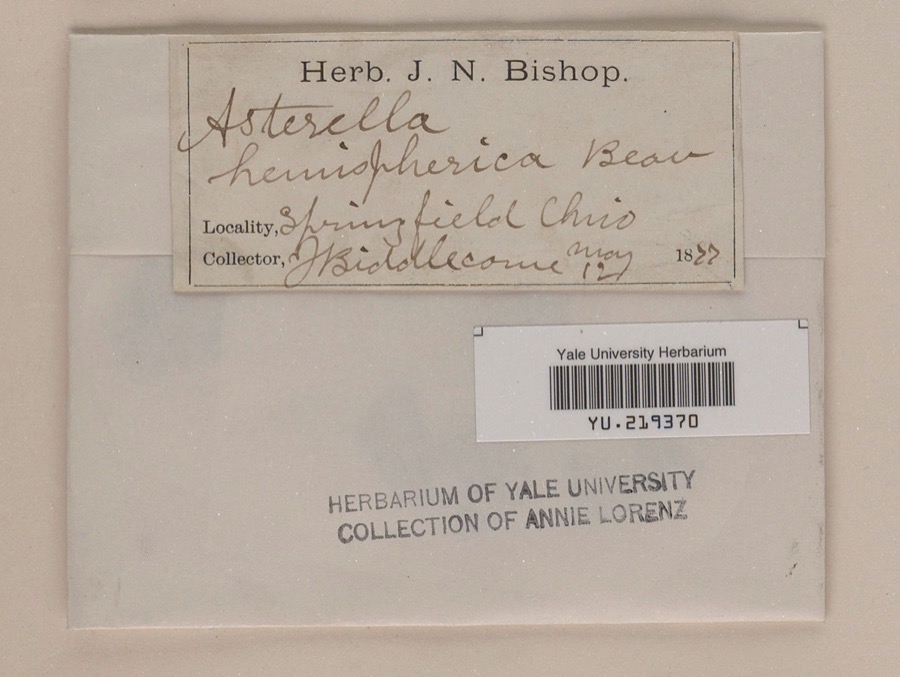 | Reboulia hemisphaerica (L.) Raddi | 1877 | J. E. Biddlecome | |
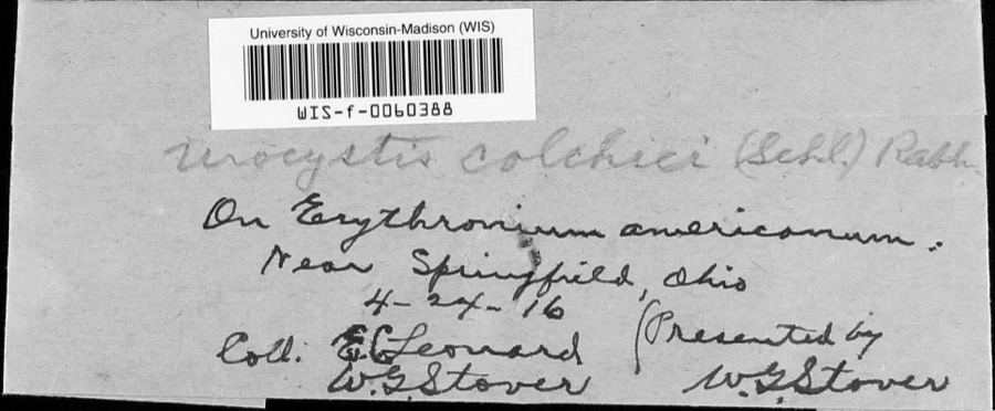 | Urocystis colchici (Schltdl.) Rabenh. | 1916 | W.G. Stover; E.C. Leonard | near Springfield |
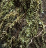 | Bryhnia graminicolor (Brid.) Grout | 1870 | J. W. Eckfeldt | near Springfield |
 | Bryum pseudotriquetrum var. bimum (Schreb.) Lilj. | 1870 | J. W. Eckfeldt | Springfield |
 | Hygroamblystegium tenax subsp. orthocladon (P.Beauv.) Wijk & Margad. | 1870 | J. W. Eckfeldt | Springfield |
 | Schwetschkeopsis denticulata (Sull.) Broth. | 1870 | J. W. Eckfeldt | Springfield |
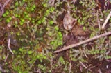 | Asterella tenella (L.) P.Beauv. | 1871 | Hannah J. Biddlecome | Springfield |
 | Atrichum angustatum (Brid.) Bruch & Schimp. | 1871 | Hannah J. Biddlecome | Springfield |
 | Porella platyphylla (L.) Pfeiff. | 1875 | Hannah J. Biddlecome | Springfield |
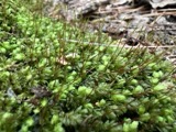 | Aulacomnium heterostichum (Hedw.) Bruch & Schimp. | 1876 | Hannah J. Biddlecome | Springfield |
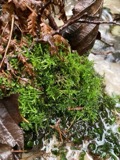 | Cratoneuron filicinum (Hedw.) Spruce | 1876 | Hannah J. Biddlecome | Springfield |
All 363 specimens within 10 miles, at the Global Biodiversity Information Facility.
Nearest settlements
The eight closest, with where each one stands in the county. Distances are straight-line, computed from the Geographic Names Information System coordinates.
| Map | Place | Distance | Sheets |
|---|---|---|---|
| South Charleston | 2.5 miles | 12 | |
| Plattsburg | 2.7 miles | 12 | |
| Dolly Varden | 3.3 miles | 12 | |
| Thorps | 4.0 miles | 14 | |
| Oxtoby (historical) | 4.3 miles | 14 | |
| Hollandia View | 4.4 miles | 14 | |
| South Vienna | 4.7 miles | 12 | |
| Harmony | 5.4 miles | 14 |
Provenance
This settlement is recorded in the Geographic Names Information System as feature 1048922. The sheet list is computed by point-in-boundary test against the United States Geological Survey's historical topographic inventory. Both are works of the United States government and carry no copyright under 17 U.S.C. 105.
Specimens. Global Biodiversity Information Facility (GBIF), https://www.gbif.org/. Only records licensed CC0 or CC BY are used. Records licensed CC BY-NC are excluded because this site carries advertising. Images are checked individually and any whose licence is non-commercial, no-derivatives or unreadable is refused.