 Block
Block
Little Hocking, Ohio
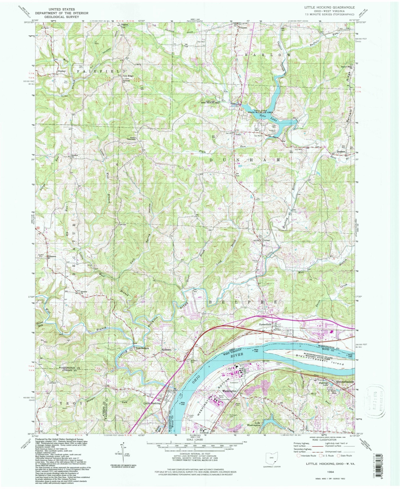
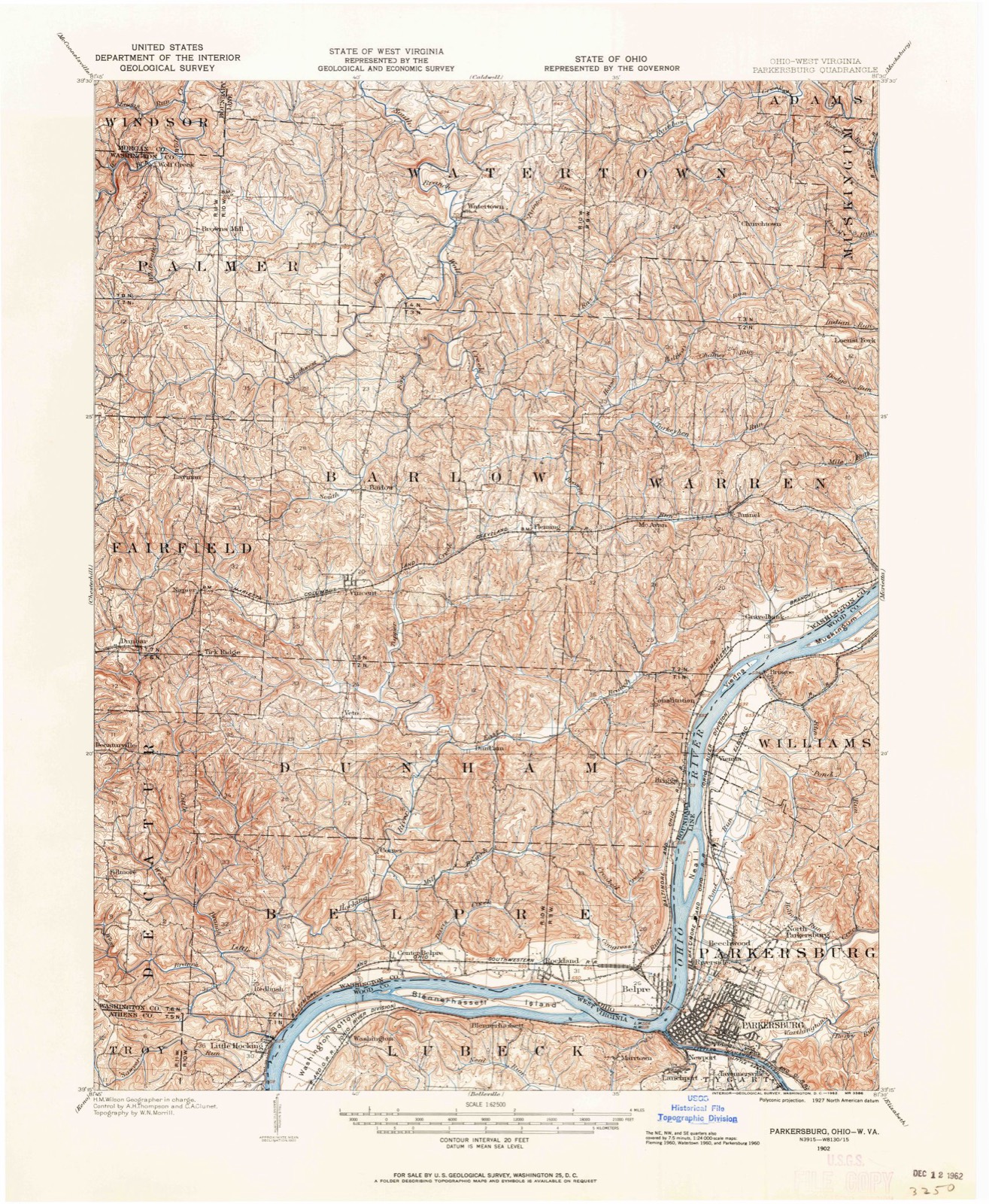
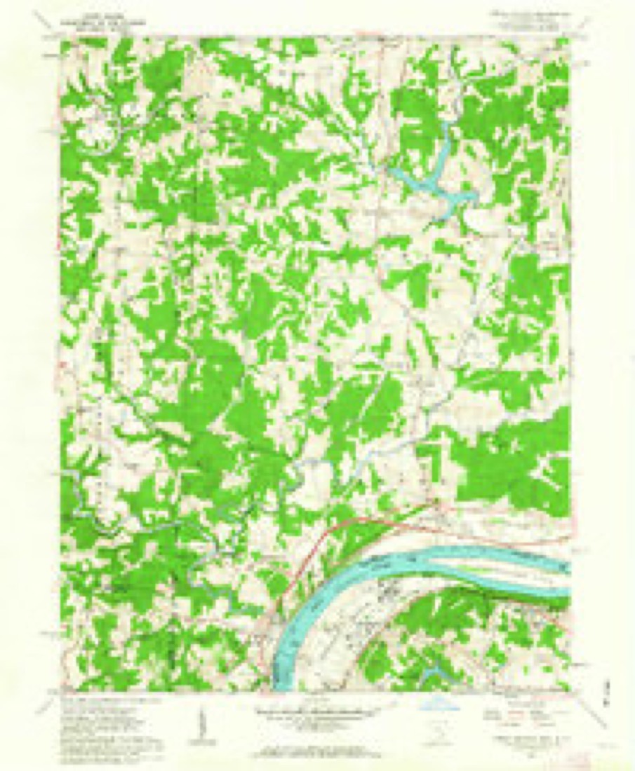
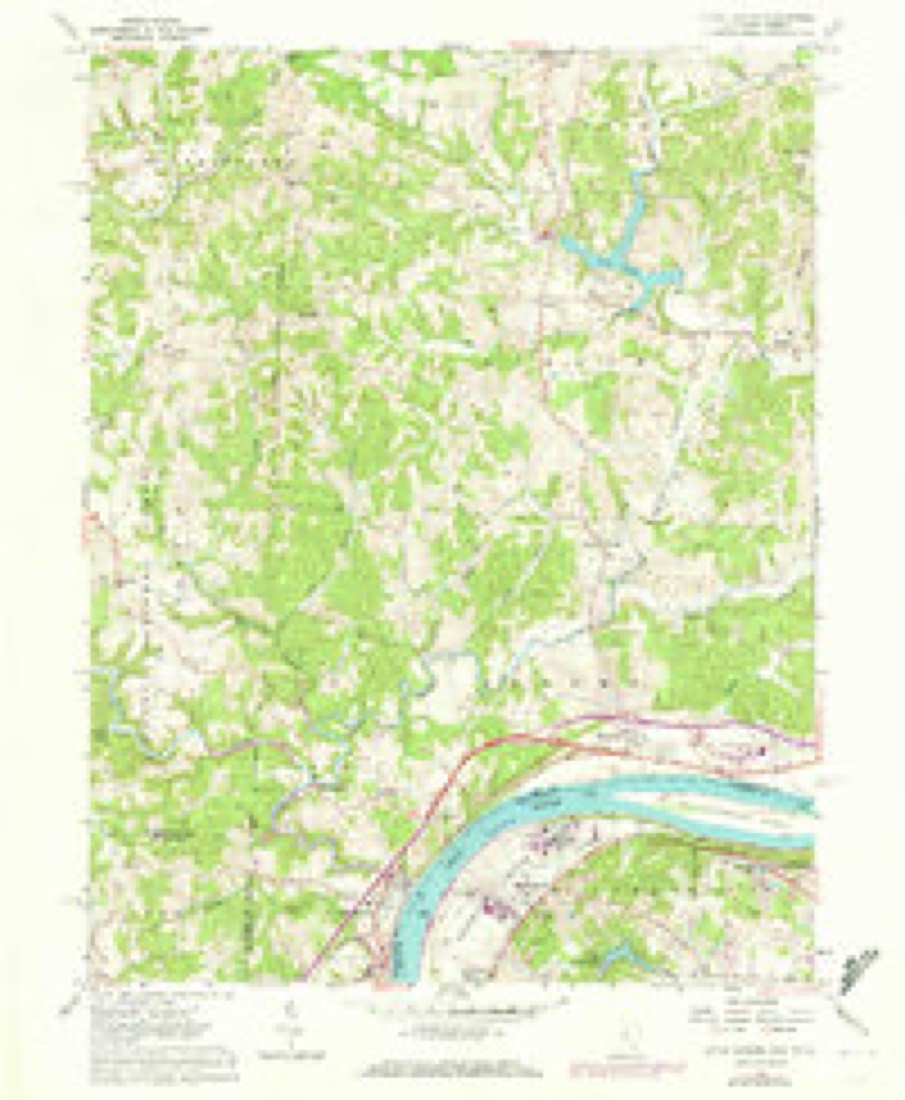
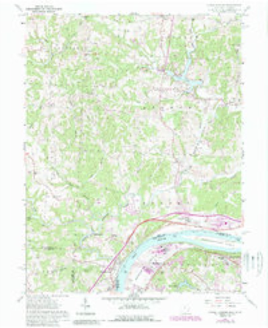
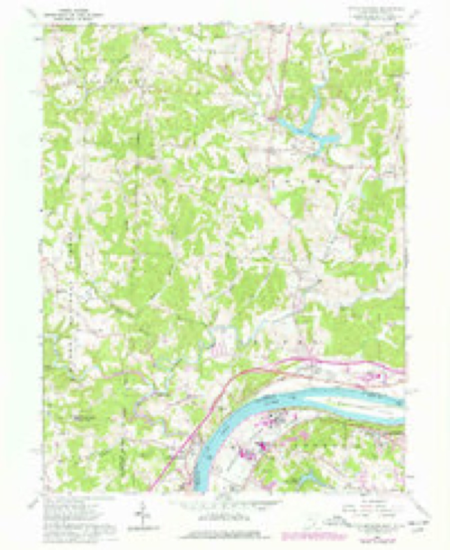
17 topographic sheets cover this place, the earliest surveyed in 1902 and the latest in 1994. It stands in Belpre Township. It lies in ZIP code area 45742. It stands on Little Hocking River. The Survey maps it on the Little Hocking quadrangle. 244 people lived here at the 2020 count. It stands 636 feet above sea level.
Population over time
2 figuresLittle Hocking fell from 263 to 244 between 2010 and 2020. These are the recorded population figures Wikidata holds for this place, reached through the Geographic Names Information System number this page is keyed on rather than by name, so they belong to this place and not to another of the same name. Most are census counts, but not all are: an early figure may be a founding or settlement estimate. The change column is computed, and is left blank where more than 20 years separate a figure from the one before it, because a gap that long is not a change between two counts.
| Year | People | Change |
|---|---|---|
| 2010 | 263 | |
| 2020 | 244 | -19 (-7%) |
Then and now
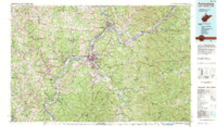
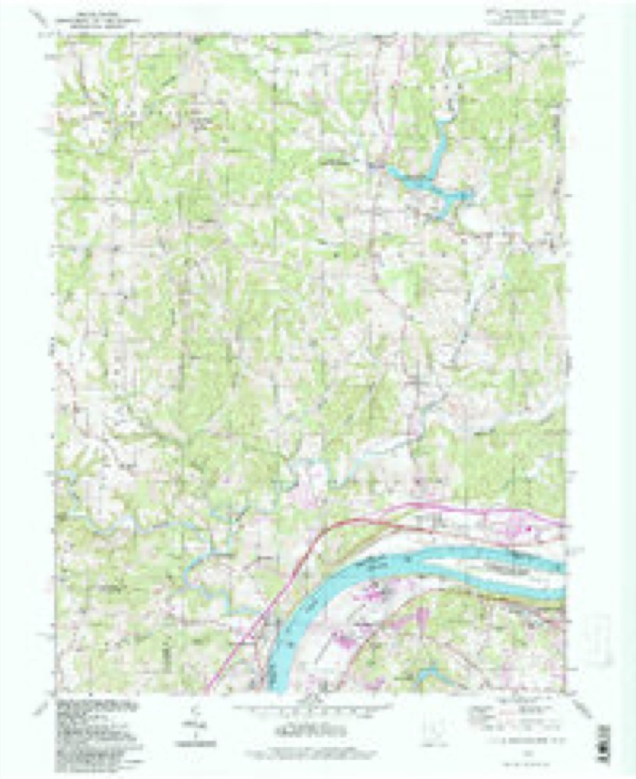
1902 to 1994The same ground, surveyed 92 years apart. Drag the handle to wipe between them. Both sheets are United States Geological Survey originals; neither has been altered.
Compare 1902 against another survey:
Topographic sheets covering this place
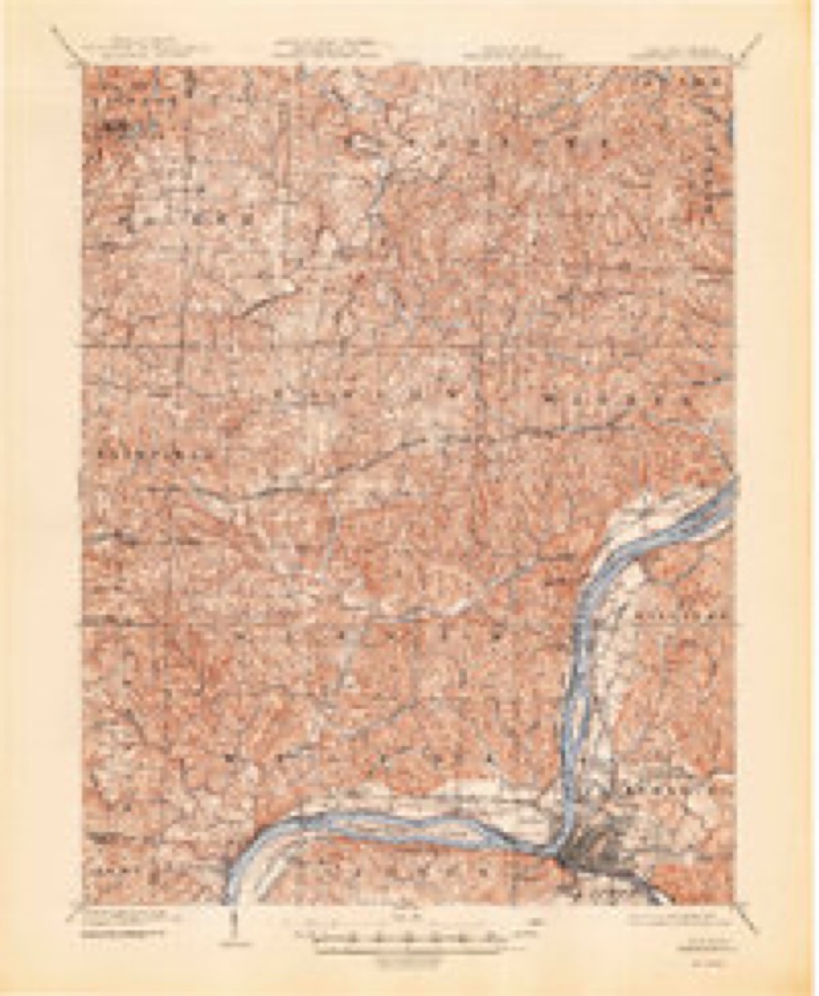
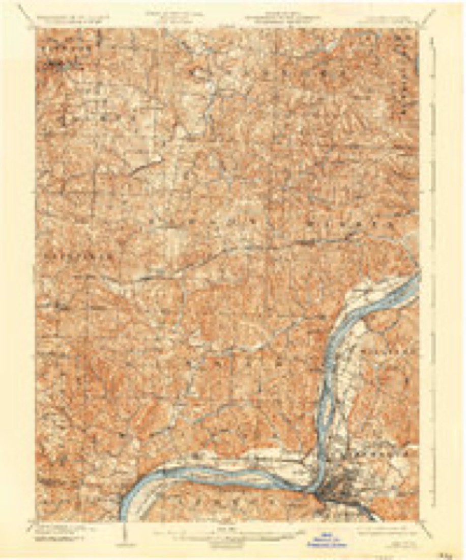
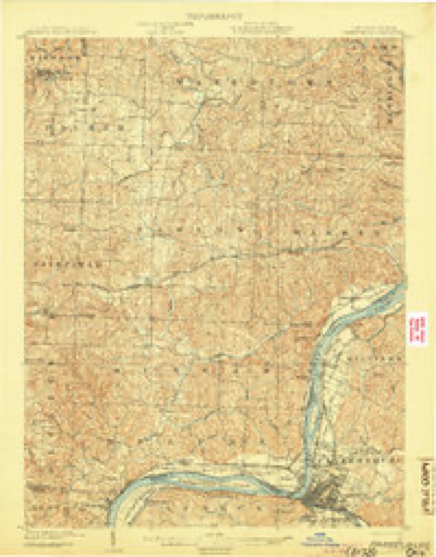
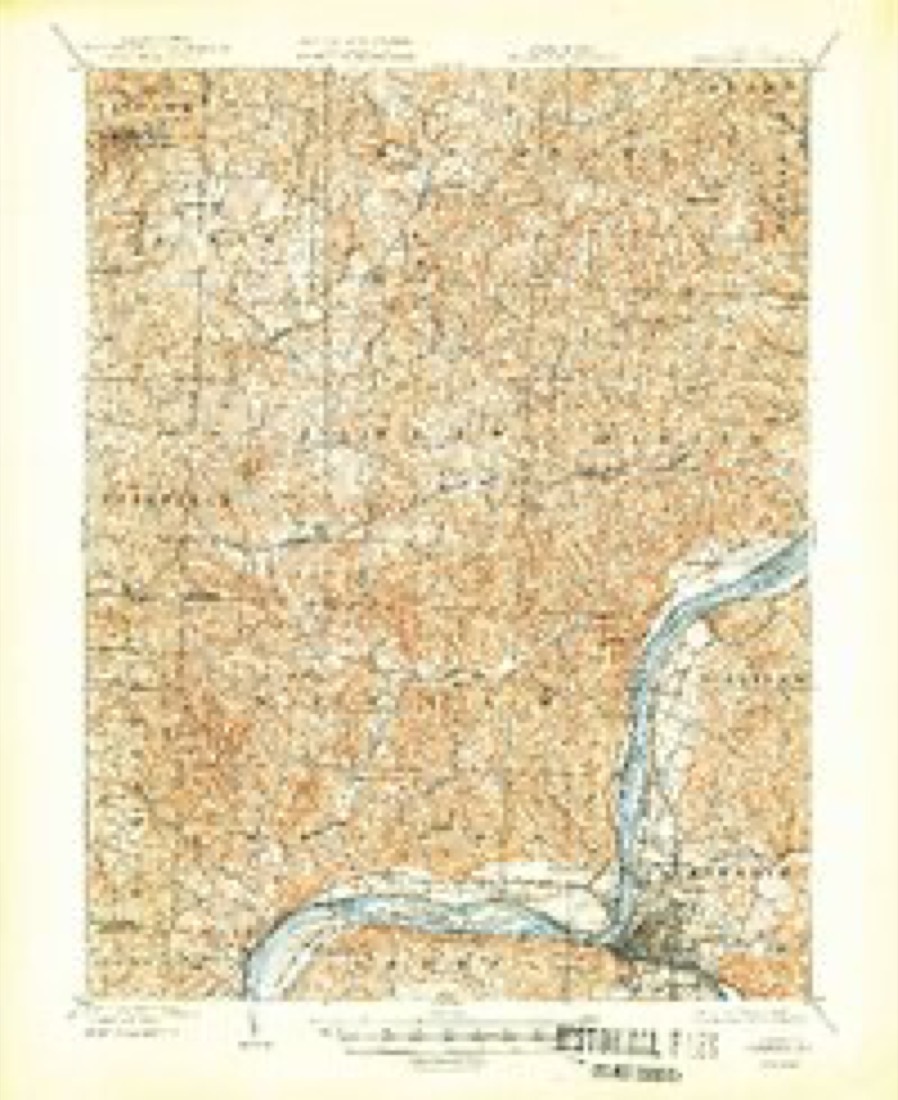
17 sheetsMatched by testing this settlement's coordinate against the published boundary of every sheet in the United States Geological Survey's historical collection. Each opens the scanned sheet at the Survey.
- 1902 USGS Parkersburg quadrangle1:62500
- 1904 USGS Parkersburg quadrangle1:62500
- 1904 USGS Parkersburg quadrangle1:62500
- 1904 USGS Parkersburg quadrangle1:62500
- 1904 USGS Parkersburg quadrangle1:62500
- 1904 USGS Parkersburg quadrangle1:62500
- 1949 USGS Clarksburg quadrangle1:250000
- 1956 USGS Clarksburg quadrangle1:250000
- 1956 USGS Clarksburg quadrangle1:250000
- 1961 USGS Clarksburg quadrangle1:250000
- 1961 USGS Little Hocking quadrangle1:24000
- 1961 USGS Little Hocking quadrangle1:24000
- 1961 USGS Little Hocking quadrangle1:24000
- 1961 USGS Little Hocking quadrangle1:24000
- 1981 USGS Parkersburg quadrangle1:100000
- 1988 USGS Clarksburg quadrangle1:250000
- 1994 USGS Little Hocking quadrangle1:24000





What happened here
An account from the chapter on Belpre township, The inset identifies its exact source book and publication year.
The First Death
that occurred in the new settlement was that of Captain Zebulon King, who was assassinated by the Indians May 1, 1789. While busily engaged in clearing his lot in the middle settlement, he was shot and scalped, it is supposed by two Indians who had escaped from Fort Harmar, where they were confined by reason of their treacherous conduct towards the whites during the previous summer at Duncan's Falls.
In the county-history sources
36,149 words on this townshipHistory of Washington County, Ohio, published 1881 names this settlement in its chapter on Belpre Township. These are the passages that mention it, exactly as the scans read.
The general form of Belpre is similar to that of Washington county, of which it is the most southern township. Resembling a triangle, it has about eight miles of northern line and nearly seven miles on the west, while the Ohio river as an irregular hypothenuse meanders in a southwesterly direction. North and west, with a general tendency toward the south, are ranges of hills which alternately approach toward and recede from the valley of the Ohio. These hills have no special geological features. They are in many respects similar to their sister hills in the eastern part of the county, save that there are no large deposits of coal or petroleum. Towards the southern portion of the township there are slight indications of oil, and their seams of coal have occasionally been worked, but the labor is unremunerative. All along the line of the ridge which determines the course of the streams and extends from northeast to southwest, may be found in the out-croppings of the rocky sides an excellent quality of sandstone, especially adapted for building purposes, and in many places affording an excellent grind-stone grit. The principal quarry is a short distance above Little Hocking, and stone is taken from the vicinity of Belpre village.
Passage source: History of Washington County, Ohio, published 1881.
The streams naturally seek the Ohio river, whose principal tributary in Belpre township is the Little Hocking, whose eastern and western forks, with their numerous branches, converge in the western part of the township, directing the enlarged stream towards the Ohio. Congress and Crooked creeks, in the eastern part of the township, Davis run in the centre, and Sawyer's and Big runs toward the southern extremity, are the only considerable streams independent of the Little Hocking. The hillsides rising from the glens and valleys bordering on these streams are covered with an abundant growth of forest trees, principally oak. Of late years the hill country has, in a measure, been cleared and cuitivated. As in the other hilly portions of the county the hill-tops are especially adapted to the growth of apple trees, and numerous orchards are found back of the valleys.
Passage source: History of Washington County, Ohio, published 1881.
Descending the hills by winding and almost circuitous routes the traveller soon reaches the valleys which nature with bountiful hand has distributed throughout the length and breadth of the township. The valley of the Little Hocking is limited, although it has its ferlile tracts. The land along the Ohio is a vast stretch or fertility. By a natural division there are three principal areas where the valley broadens into a plain, and with adjoining second bottoms affords a farming country unsurpassed by any in Washington county. Beginning at the northern boundary of the township the Ohio river flows directly south three miles until it reaches the mouth of the Little Kanawha and the opposing hills of West Virginia, when by an abrupt turn it takes a westerly course thus embracing the first of the areas of rich land. About a mile below this bend the river, as if hesitating which way to turn, has impartially divided, leaving in the centre a rich alluvion, afterwards made an object of national attention by the misfortune of the Blennerhassetts. A little below the head of the island the river is confronted by a precipitous bluff which crowds the valley into the river and continues westward about half a mile. This bluff, which is over thirty feet high, is an extension of the plain land and acting as a spur from the ridge to the north separates the valley. This plateau or peninsula of the hill country is still made beautiful by evergreens, principally cedar, thus giving to the vicinity the name of Cedarville. As will be seen hereafter, this was an attractive spot to the early settlers. Leaving the bluff as the eastern boundary, the Ohio, by a graceful inward curve, has marked out the second and central alluvion from a quarter to a third of a mile wide and about three miles long, being contracted in the narrows just above the mouth of the Little Hocking. The bottom lands gradually lose themselves in adjoining plain land which is thirty or forty feet higher than the alluvial land, and varies in width from a third of a mile to a mile. This upland soil is of a rich and very productive sandy loam. Higher up on the hills the soil is of red clay for the most part, and is not of great value for farming purposes.
Passage source: History of Washington County, Ohio, published 1881.
Machine-read from a century-old scan, so expect the errors a machine makes: misspelled names, dropped words, stray characters.
Read the whole chapter on Belpre Township - it names this place 33 more 33 times.
Fires near this place
38 since 1995Regional context, not property-specific evidence. The federal wildfire occurrence database lists 38 fires within 5 miles of Little Hocking between 1995 and 2019, burning about 39 acres in total. None started naturally. 1 was recorded as arson. Distance is straight-line from the map coordinates, so a fire counted here may appear on a neighbouring settlement's page as well.
| Reported cause | Fires |
|---|---|
| Debris and open burning | 22 |
| Misuse of fire by a minor | 3 |
| Equipment and vehicle use | 3 |
| Smoking | 2 |
| Power generation/transmission/distribution | 2 |
| Recreation and ceremony | 2 |
| Fireworks | 1 |
| Arson/incendiarism | 1 |
| Other causes | 1 |
| Railroad operations and maintenance | 1 |
The most recent of them, most recent first, with the day each was reported and the service that recorded it.
| Date | Cause | Size | Reported by | Name on the report |
|---|---|---|---|---|
| 14 September 2019 | Debris and open burning | under an acre | West Virginia Division of Forestry | 5809 DUPONT ROAD |
| 11 September 2002 | Power generation/transmission/distribution | under an acre | West Virginia Division of Forestry | BROADMOORE ADDN |
| 4 August 2007 | Arson/incendiarism | 1.0 acres | West Virginia Division of Forestry | not named |
| 2 August 2005 | Power generation/transmission/distribution | under an acre | West Virginia Division of Forestry | WALKER LANE |
| 30 July 2008 | Misuse of fire by a minor | under an acre | West Virginia Division of Forestry | not named |
| 5 June 2005 | Debris and open burning | under an acre | West Virginia Division of Forestry | WALKER LANE |
| 4 June 2007 | Smoking | under an acre | West Virginia Division of Forestry | not named |
| 8 May 2005 | Debris and open burning | under an acre | West Virginia Division of Forestry | MATHENY FARM |
Settlements close enough to share some of these fires:
Specimens collected near this place
12 of 323 shownRegional context, not property-specific evidence. Museums hold 323 specimens collected within 10 miles of Little Hocking between 1877 and 1974: 166 Animalia, 138 Fungi, 16 Plantae, 3 Chromista. 12 distinct Species records are shown. Collected by A. C. Kinsey, Archer W. A., Archer, W. A. and others. Each is a physical object with a catalogue number, and each entry opens the museum's record. This is what was collected and kept, not a survey of what lives here - nothing can be concluded from a species being absent.
| Image | Species | Year | Collected by | Where, as recorded |
|---|---|---|---|---|
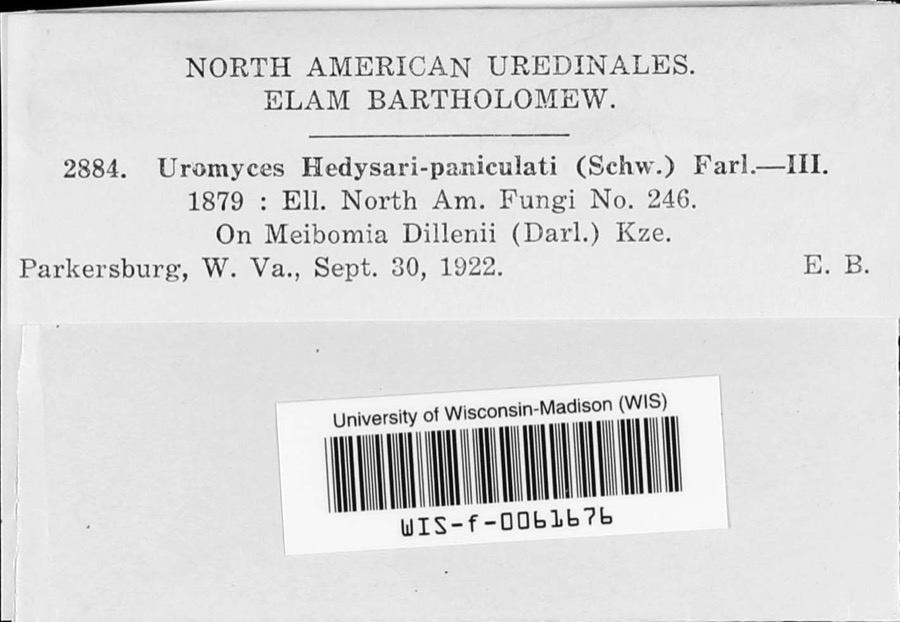 | Uromyces hedysari-paniculati (Schwein.) Farl. | 1922 | E. Bartholomew | |
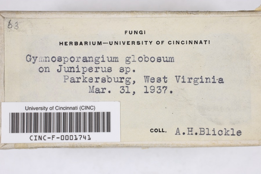 | Gymnosporangium globosum (Farl.) Farl. | 1937 | Blickle, A.H. | Parkersburg |
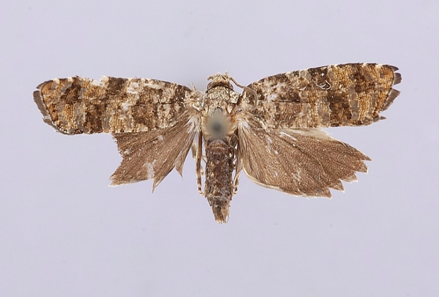 | Petrova houseri Miller, 1959 | 1954 | W. Miller | Veto |
 | Inula helenium L. | 1877 | Guttenberg, G. | Parkersburg |
 | Sonchus asper (L.) Hill | 1877 | Guttenberg, G. | Parkersburg |
 | Amaranthus spinosus L. | 1878 | Guttenberg, G. | Parkersburg |
 | Clinopodium vulgare L. | 1878 | Guttenberg, G.* | Parkersburg |
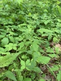 | Scutellaria nervosa Pursh | 1878 | Guttenberg, G. | Parkersburg |
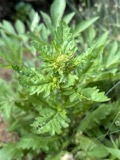 | Rorippa palustris var. fernaldiana (Butters & Abbe) Stuckey | 1891 | C. F. Millspaugh | Parkersburg. |
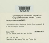 | Uromyces asclepiadis Cooke | 1902 | W. A. Kellerman | Belpre |
 | Botryosphaeria ribis Grossenb. & Duggar | 1927 | Shear C. L. | Parkersburg |
| Coniothyrium Corda, 1840 | 1927 | Martin G. Hamilton | Parkersburg |
All 323 specimens within 10 miles, at the Global Biodiversity Information Facility.
Mines and quarries near this place
3 within 5 milesRegional context, not property-specific evidence. The federal mineral resources record lists 3 workings within 5 miles of Little Hocking: 2 past producers, 1 producer. 1 still produces. What was taken out: Sand and Gravel, Construction, Zirconium. Distance is straight-line from the map coordinates, so a quarry counted here may appear on a neighbouring settlement's page as well.
| Where | Site | Commodity | Status | Recorded |
|---|---|---|---|---|
| Amax Specialty Metal/Washington Wva | Zirconium | Past Producer | ||
| Atlas Pit | Sand and Gravel, Construction | Producer | ||
| Griffin Gravel Pit | Sand and Gravel, Construction | Past Producer |
Storms near this place
19 since 2003Regional context, not property-specific evidence. The National Weather Service names Little Hocking in 19 storm reports between 2003 and 2025: 13 thunderstorm wind, 4 hail, 1 lightning, 1 flood. No death or injury is recorded in these reports. Each account below is quoted exactly as the forecast office filed it, from the NOAA Storm Events Database, and each date opens the federal record of that event.
| When | Event | Place named | Harm | What the report says |
|---|---|---|---|---|
| June 2012 | Thunderstorm Wind | Little Hocking | $50,000 | Large trees were blown down. |
| April 2025 | Thunderstorm Wind | Little Hocking | $20,000 | A barn in Belpre was destroyed due to strong winds. An adjacent barn had its roofing peeled off in spots. |
| February 2009 | Thunderstorm Wind | Little Hocking | $15,000 | Trees and large branches fell onto power lines. |
| February 2018 | Flood | Little Hocking | $10,000 | The Ohio River gage at Willow Island Lock rose above its flood stage of 37 feet on the evening of the 16th. The river crested shortly after midnight on the 18th at just over 40 feet and dropped back below flood stage around sunrise on the 19th. This flooded Ohio Route 7 between Reno and Matamoras.||At the Marietta Pumphouse gage, the Ohio River rose above its flood stage of 35 feet late on the 16th, and crested at 37.9 feet, or just 0.1 below moderate flood, just after midnight on the 18th. The river returned below flood stage just after sunrise on the 19th. Many roads along the river in Marietta were flooded, including Stark Street, Pike Street, Elmwood Avenue, Hart Street, Greene Street and Ohio Street.||The river near Parkersburg, WV, rose above flood stage late on the 16th. Crest occurred mid morning on the 18th at 39.7 feet, almost 2 feet above moderate flood stage of 38 feet. The river fell back below flood stage just after noon on the 19th. This flooded Walnut Street and Scott Avenue in Belpre, along with portions of Dave's Marina. |
| July 2014 | Thunderstorm Wind | Little Hocking | $10,000 | A concentrated area of tree damage was along Newbury Road near the Little Hocking Cemetery. There were numerous hardwood trees with large branches snapped off. There were also some uprooted hardwoods snapped in half. Further toward the Ohio River, several softwood trees were snapped and topped. This concentrated area of damage was about a half mile wide. Maximum wind gusts were estimated around 85 mph. ||This same storm crossed the Ohio River and did considerable tree damage in the Washington Bottom area of Wood County in West Virginia. ||A few other fallen trees were also noted heading north toward Hocking Road and along Holdren Road. |
| November 2013 | Thunderstorm Wind | Little Hocking | $10,000 | Trees were blown down. |
| July 2017 | Thunderstorm Wind | Little Hocking | $5,000 | Multiple trees and power lines were downed in Little Hocking. |
| July 2017 | Lightning | Little Hocking | $4,000 | Lightning struck a house in Little Hocking, blowing out the electric box. |
| April 2025 | Thunderstorm Wind | Little Hocking | $1,500 | Several pine trees had their tops knocked off in Little Hocking. One large maple tree was uprooted nearby. |
| June 2021 | Thunderstorm Wind | Little Hocking | $1,000 | One tree was blown down in Little Hocking. |
| April 2020 | Thunderstorm Wind | Little Hocking | $750 | One tree fell down across a road in Little Hocking. Another tree blew down onto a road in Veto. |
| June 2008 | Thunderstorm Wind | Little Hocking | - | Large tree branches were blown down. |
| August 2006 | Thunderstorm Wind | Little Hocking | - | Trees were blown down across roads. |
| May 2004 | Thunderstorm Wind | Little Hocking | - | Several trees were blown down. |
| April 2025 | Thunderstorm Wind | Little Hocking | - | no account filed |
| March 2011 | Hail | Little Hocking | - | no account filed |
| June 2008 | Hail | Little Hocking | - | no account filed |
| August 2007 | Hail | Little Hocking | - | no account filed |
| May 2003 | Hail | Little Hocking | - | no account filed |
Nearest settlements
The eight closest, with where each one stands in the county. Distances are straight-line, computed from the Geographic Names Information System coordinates.
| Map | Place | Distance | Sheets |
|---|---|---|---|
| Redbush | 1.0 miles | 17 | |
| Armenia (historical) | 2.5 miles | 16 | |
| Porterfield | 2.8 miles | 17 | |
| Fillmore | 3.8 miles | 17 | |
| Corner | 3.9 miles | 17 | |
| Blennerhassett View | 4.6 miles | 19 | |
| Rockland | 5.2 miles | 19 | |
| Veto | 5.8 miles | 17 |
Elsewhere
Matched on this settlement's Geographic Names Information System number rather than its name, so it cannot be a different place of the same name in another state.
| Wikipedia article on Little Hocking | An encyclopaedic summary. Its text is share-alike, so it is linked here rather than copied. |
| Wikidata item Q3472722 | The structured record the population and elevation above come from. Public domain (CC0). |
Provenance
This settlement is recorded in the Geographic Names Information System as feature 1065009. The sheet list is computed by point-in-boundary test against the United States Geological Survey's historical topographic inventory. Both are works of the United States government and carry no copyright under 17 U.S.C. 105.
Wildfire. Short, Karen C. 2022. Spatial wildfire occurrence data for the United States, 1992-2020 [FPA_FOD_20221014]. 6th Edition. Fort Collins, CO: Forest Service Research Data Archive. https://doi.org/10.2737/RDS-2013-0009.6 Collected with United States Government funding and usable without additional permissions or fees.
Specimens. Global Biodiversity Information Facility (GBIF), https://www.gbif.org/. Only records licensed CC0 or CC BY are used. Records licensed CC BY-NC are excluded because this site carries advertising. Images are checked individually and any whose licence is non-commercial, no-derivatives or unreadable is refused.
Mines and quarries. USGS Mineral Resources Data System (MRDS) https://mrdata.usgs.gov/mrds/ A work of the United States government, no copyright under 17 U.S.C. 105.
Storms. NOAA National Centers for Environmental Information, Storm Events Database https://www.ncei.noaa.gov/stormevents/ A work of the United States government, no copyright under 17 U.S.C. 105. Narratives are quoted verbatim from the National Weather Service report and are not edited or summarised.