 Block
Block
Fillmore, Ohio
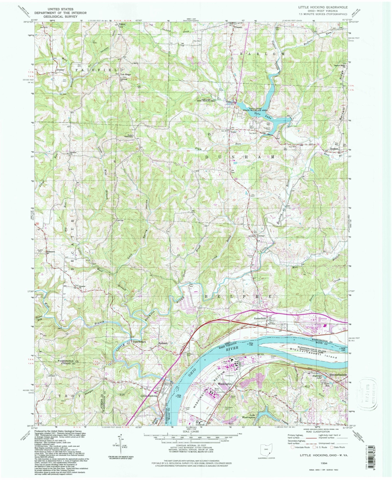
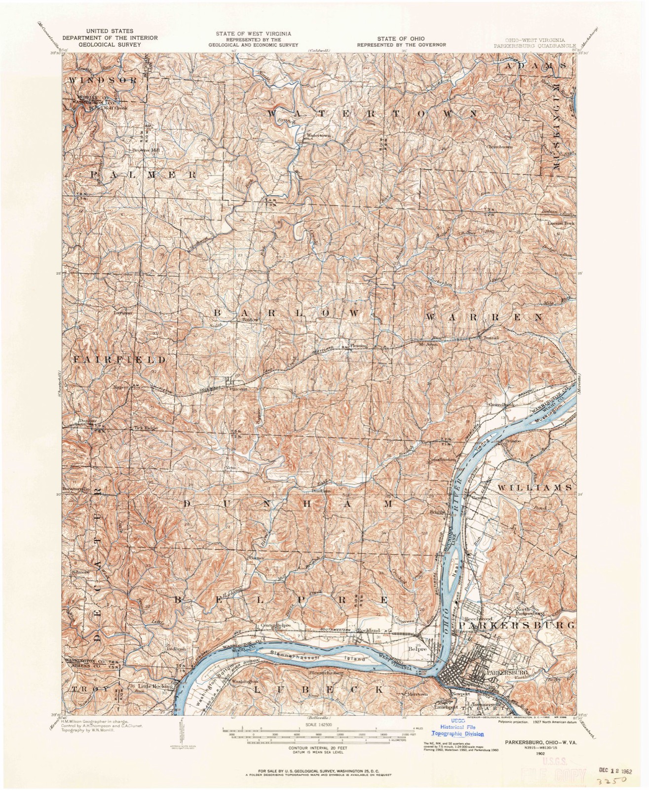
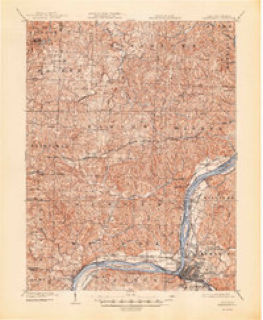
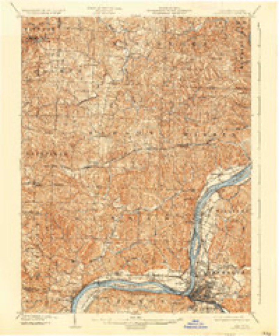
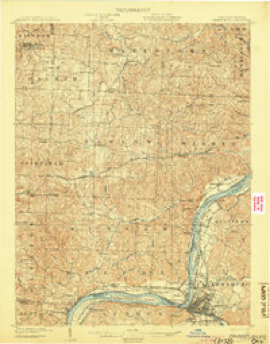
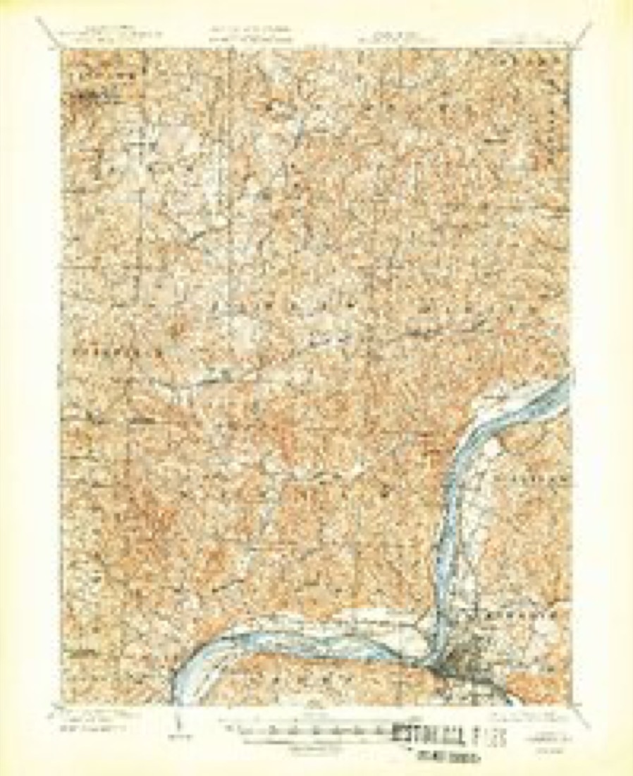
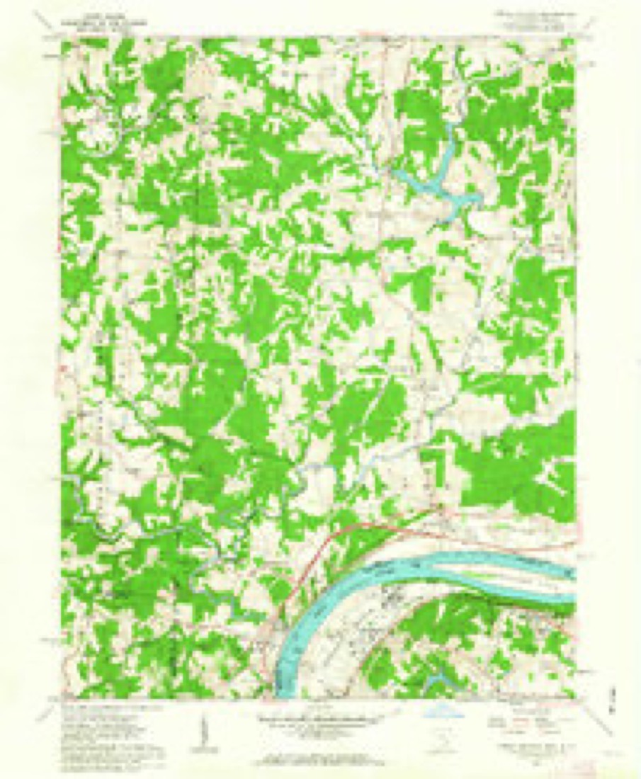
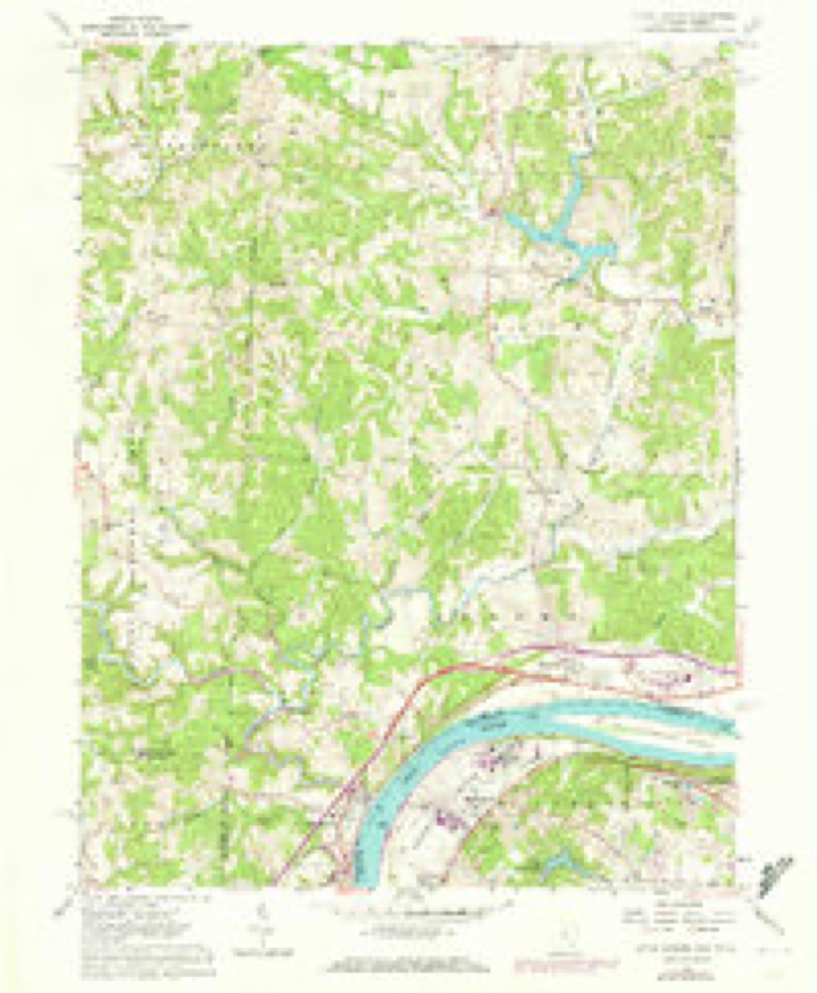
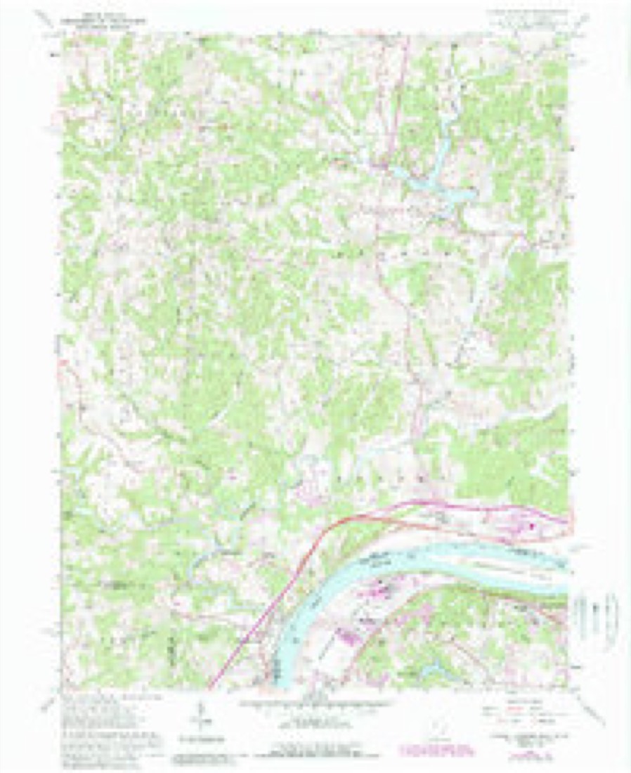
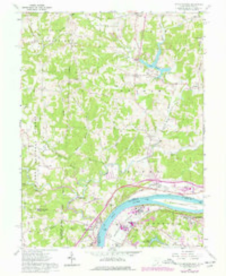
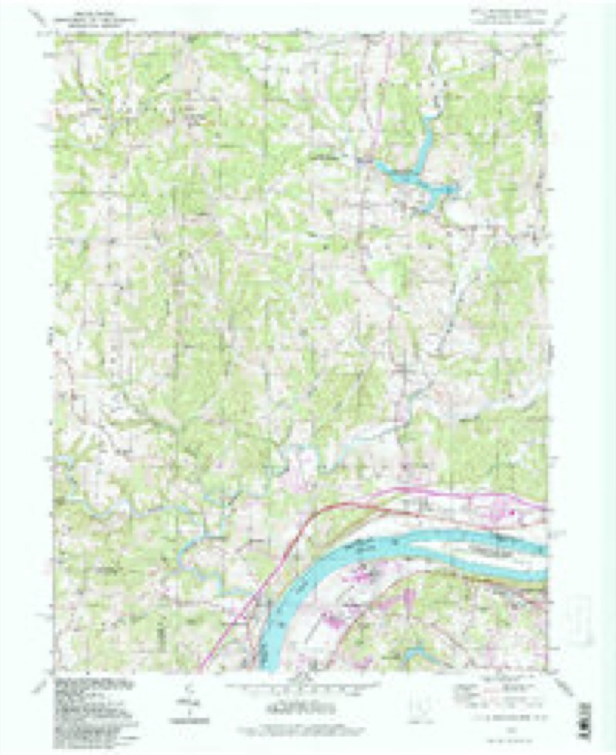
17 topographic sheets cover this place, the earliest surveyed in 1902 and the latest in 1994. It stands in Decatur Township. It lies in ZIP code area 45742. It stands on Big Run. The Survey maps it on the Little Hocking quadrangle.
Then and now
1902 to 1994The same ground, surveyed 92 years apart. Drag the handle to wipe between them. Both sheets are United States Geological Survey originals; neither has been altered.
Compare 1902 against another survey:
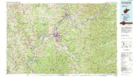
Topographic sheets covering this place
17 sheetsMatched by testing this settlement's coordinate against the published boundary of every sheet in the United States Geological Survey's historical collection. Each opens the scanned sheet at the Survey.
- 1902 USGS Parkersburg quadrangle1:62500
- 1904 USGS Parkersburg quadrangle1:62500
- 1904 USGS Parkersburg quadrangle1:62500
- 1904 USGS Parkersburg quadrangle1:62500
- 1904 USGS Parkersburg quadrangle1:62500
- 1904 USGS Parkersburg quadrangle1:62500
- 1949 USGS Clarksburg quadrangle1:250000
- 1956 USGS Clarksburg quadrangle1:250000
- 1956 USGS Clarksburg quadrangle1:250000
- 1961 USGS Clarksburg quadrangle1:250000
- 1961 USGS Little Hocking quadrangle1:24000
- 1961 USGS Little Hocking quadrangle1:24000
- 1961 USGS Little Hocking quadrangle1:24000
- 1961 USGS Little Hocking quadrangle1:24000
- 1981 USGS Parkersburg quadrangle1:100000
- 1988 USGS Clarksburg quadrangle1:250000
- 1994 USGS Little Hocking quadrangle1:24000





In the county-history sources
9,144 words on this townshipHistory of Washington County, Ohio, published 1881 names this settlement in its chapter on Decatur Township. These are the passages that mention it, exactly as the scans read.
THE establishment of this township was effected in 1820, on the petition of sundry persons not named, residents in sixth township, range eleven. Said locality was declared an incorporated town and an election district to be thereafter known as Decatur, and it was ordered that the inhabitants residing in said district were thereby entitled to the privileges and immunities of incorporated towns within the State. The electors were notified to meet at the residence of William Johnson, on Thursday, November 30, 1820, to elect town officers, but the records of this first election cannot now be found, and the names of the first officials, therefore, cannot be definitely ascertained.
Passage source: History of Washington County, Ohio, published 1881.
The surface consists generally of very high rolling lands, broken in rugged and precipitous hills, especially in the southwest. The soil is of red and yellow clay, though in localities some sand is found. The chief productions are wheat, corn, etc., and all kinds of fruits are produced in abundance, never failing orchards being found in various localities throughout the township. In early times considerable tar was manufactured near Fillmore, and was floated down the Little Hocking in canoes to the Ohio, but now only the small local demand is
Passage source: History of Washington County, Ohio, published 1881.
The first settler in this township was Joseph Lovdell, who came here in the spring of 1816. He was the first to accept an offer of forty acres of land made by David Putnam, agent of the Ohio company, to any one who would locate in this township, build a cabin, and plant an orchard of one hundred trees. He located forty acres on the northeast part of the farm now owned by Joshua McGirr, at Fillmore, and built his cabin in the extreme southwest corner of what is now section three.
Passage source: History of Washington County, Ohio, published 1881.
Machine-read from a century-old scan, so expect the errors a machine makes: misspelled names, dropped words, stray characters.
Read the whole chapter on Decatur Township - it names this place 7 more 7 times.
Fires near this place
6 since 2010Regional context, not property-specific evidence. The federal wildfire occurrence database lists 6 fires within 5 miles of Fillmore between 2010 and 2016, burning about 9 acres in total. None started naturally. None was recorded as arson. Distance is straight-line from the map coordinates, so a fire counted here may appear on a neighbouring settlement's page as well.
| Reported cause | Fires |
|---|---|
| Debris and open burning | 3 |
| Railroad operations and maintenance | 1 |
| Missing data/not specified/undetermined | 1 |
| Recreation and ceremony | 1 |
The most recent of them, most recent first, with the day each was reported and the service that recorded it.
| Date | Cause | Size | Reported by | Name on the report |
|---|---|---|---|---|
| 27 March 2014 | Debris and open burning | 3.0 acres | Ohio Department of Natural Resources | not named |
| 21 March 2010 | Debris and open burning | under an acre | Ohio Department of Natural Resources | not named |
| 16 March 2013 | Missing data/not specified/undetermined | under an acre | Ohio Department of Natural Resources | not named |
| 8 February 2015 | Debris and open burning | 3.0 acres | Ohio Department of Natural Resources | 445 |
| 1 November 2010 | Railroad operations and maintenance | 1.0 acres | Ohio Department of Natural Resources | not named |
| 28 October 2016 | Recreation and ceremony | 1.0 acres | Ohio Department of Natural Resources | 5906 |
Settlements close enough to share some of these fires:
Specimens collected near this place
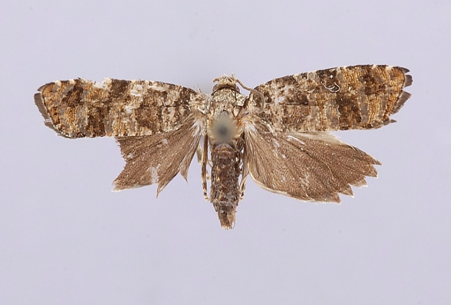
12 of 218 shownRegional context, not property-specific evidence. Museums hold 218 specimens collected within 10 miles of Fillmore between 1902 and 1975: 160 Animalia, 51 Fungi, 7 Plantae. 12 distinct Species records are shown. Collected by A. C. Kinsey, Bartholomew E., Bartholomew, Elam and others. Each is a physical object with a catalogue number, and each entry opens the museum's record. This is what was collected and kept, not a survey of what lives here - nothing can be concluded from a species being absent.
| Image | Species | Year | Collected by | Where, as recorded |
|---|---|---|---|---|
 | Petrova houseri Miller, 1959 | 1954 | W. Miller | Veto |
 | Uromyces asclepiadis Cooke | 1902 | W. A. Kellerman | Belpre |
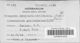 | Uromyces hedysari-paniculati (Schwein.) Farl. | 1902 | W. A. Kellerman | Belpre |
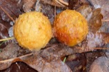 | Cynips Linnaeus, 1758 | 1928 | A. C. Kinsey | Coolville |
 | Ammocrypta pellucida (Putnam, 1863) | 1939 | Trautman, M. B. (Milton Bernard) | Hocking River, dst SR 7/US 50, ~0.5 mi NE of Coolville OH, Troy Township |
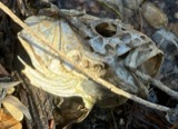 | Aplodinotus grunniens Rafinesque, 1819 | 1939 | Trautman, M. B. (Milton Bernard) | Hocking River, dst SR 7/US 50, ~0.5 mi NE of Coolville OH, Troy Township |
 | Campostoma anomalum anomalum | 1939 | Trautman, M. B. (Milton Bernard) | Hocking River, dst SR 7/US 50, ~0.5 mi NE of Coolville OH, Troy Township |
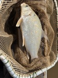 | Carpiodes cyprinus hinei Trautman, 1956 | 1939 | Trautman, M. B. (Milton Bernard) | Hocking River, dst SR 7/US 50, ~0.5 mi NE of Coolville OH, Troy Township |
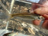 | Cyprinella whipplei Girard, 1856 | 1939 | Trautman, M. B. (Milton Bernard) | Hocking River, dst SR 7/US 50, ~0.5 mi NE of Coolville OH, Troy Township |
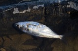 | Dorosoma cepedianum (Lesueur, 1818) | 1939 | Trautman, M. B. (Milton Bernard) | Hocking River, dst SR 7/US 50, ~0.5 mi NE of Coolville OH, Troy Township |
 | Ericymba buccata Cope, 1865 | 1939 | Trautman, M. B. (Milton Bernard) | Hocking River, dst SR 7/US 50, ~0.5 mi NE of Coolville OH, Troy Township |
 | Etheostoma blennioides blennioides Rafinesque, 1819 | 1939 | Trautman, M. B. (Milton Bernard) | Hocking River, dst SR 7/US 50, ~0.5 mi NE of Coolville OH, Troy Township |
All 218 specimens within 10 miles, at the Global Biodiversity Information Facility.
Mines and quarries near this place
2 within 5 milesRegional context, not property-specific evidence. The federal mineral resources record lists 2 workings within 5 miles of Fillmore: 2 past producers. None of them still produces. What was taken out: Sand and Gravel, Construction, Zirconium. Distance is straight-line from the map coordinates, so a quarry counted here may appear on a neighbouring settlement's page as well.
| Where | Site | Commodity | Status | Recorded |
|---|---|---|---|---|
| Amax Specialty Metal/Washington Wva | Zirconium | Past Producer | ||
| Griffin Gravel Pit | Sand and Gravel, Construction | Past Producer |
Storms near this place
3 since 2017Regional context, not property-specific evidence. The National Weather Service names Fillmore in 3 storm reports between 2017 and 2025: 1 thunderstorm wind, 1 flood, 1 hail. No death or injury is recorded in these reports. Each account below is quoted exactly as the forecast office filed it, from the NOAA Storm Events Database, and each date opens the federal record of that event.
| When | Event | Place named | Harm | What the report says |
|---|---|---|---|---|
| April 2017 | Thunderstorm Wind | Fillmore | $40,000 | A National Weather Service storm survey team found damage consistent with a microburst. Many trees were damaged, snapped or uprooted along the 2.5 mile path. Three buildings suffered damage. Near the start of the microburst, along Wildwood Lake Road, the roof of a porch was ripped from a house, flipped over the top and deposited on the road. About half a mile from there, an open-sided machine shed near Welch Road had much of the tin roof ripped off. Towards the end of the path, along State Route 555, another porch was damaged by the microbust winds. |
| February 2019 | Flood | Fillmore | - | The Shade River flooded near Chester. This closed a section of Oak Hill Road and the Sugar Run Creek Bridge.||The river gage near Chester showed the river rose above its 17 foot bankfull level just before midnight on the 6th. It crested near 22.6 feet mid afternoon on the 7th and returned to its banks early on the 9th. |
| May 2025 | Hail | Fillmore | - | no account filed |
Nearest settlements
The eight closest, with where each one stands in the county. Distances are straight-line, computed from the Geographic Names Information System coordinates.
| Map | Place | Distance | Sheets |
|---|---|---|---|
| Decaturville | 2.2 miles | 13 | |
| Redbush | 3.1 miles | 17 | |
| Qualey | 3.6 miles | 13 | |
| Little Hocking | 3.8 miles | 17 | |
| Dunbar | 3.9 miles | 17 | |
| Tick Ridge | 4.1 miles | 17 | |
| Cutler | 4.2 miles | 13 | |
| Corner | 4.4 miles | 17 |
Elsewhere
Matched on this settlement's Geographic Names Information System number rather than its name, so it cannot be a different place of the same name in another state.
| Wikipedia article on Fillmore | An encyclopaedic summary. Its text is share-alike, so it is linked here rather than copied. |
| Wikidata item Q22133355 | The structured record the population and elevation above come from. Public domain (CC0). |
Provenance
This settlement is recorded in the Geographic Names Information System as feature 1062761. The sheet list is computed by point-in-boundary test against the United States Geological Survey's historical topographic inventory. Both are works of the United States government and carry no copyright under 17 U.S.C. 105.
Wildfire. Short, Karen C. 2022. Spatial wildfire occurrence data for the United States, 1992-2020 [FPA_FOD_20221014]. 6th Edition. Fort Collins, CO: Forest Service Research Data Archive. https://doi.org/10.2737/RDS-2013-0009.6 Collected with United States Government funding and usable without additional permissions or fees.
Specimens. Global Biodiversity Information Facility (GBIF), https://www.gbif.org/. Only records licensed CC0 or CC BY are used. Records licensed CC BY-NC are excluded because this site carries advertising. Images are checked individually and any whose licence is non-commercial, no-derivatives or unreadable is refused.
Mines and quarries. USGS Mineral Resources Data System (MRDS) https://mrdata.usgs.gov/mrds/ A work of the United States government, no copyright under 17 U.S.C. 105.
Storms. NOAA National Centers for Environmental Information, Storm Events Database https://www.ncei.noaa.gov/stormevents/ A work of the United States government, no copyright under 17 U.S.C. 105. Narratives are quoted verbatim from the National Weather Service report and are not edited or summarised.