Listed on the National Register of Historic Places in
1995. A historic map-sheet match is not published yet. The record needs a coordinate-quality review before it can be joined to a sheet boundary.
From the record
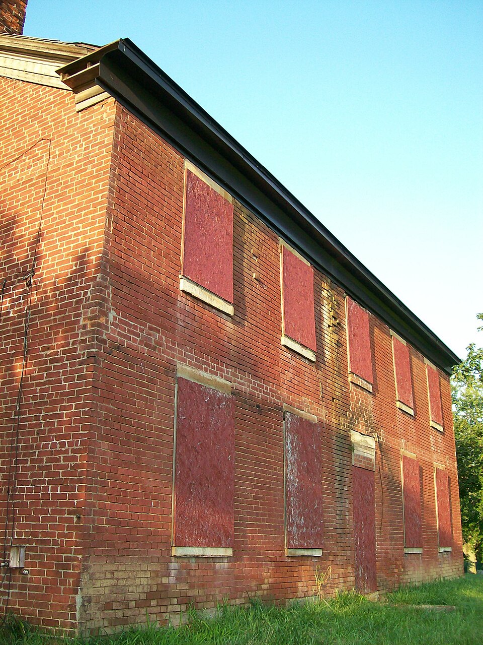
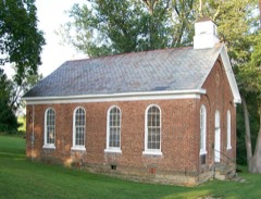
“The Brick Tavern House is a former inn on the National Road west of St. One of the oldest National Road taverns still in existence, it was built in the early nineteenth century.”
Wikipedia article Brick Tavern House, CC BY-SA 4.0.
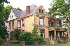
one of 15 National Register listings in Belmont County · listed in 1995 · category: Building.
National Register reference number.95001330- the number the National Park Service assigned this property when it was listed, and the key its nomination file is catalogued under at the National Archives.
What happened here
An account from the chapter on Richland township, The inset identifies its exact
source book and publication year.
ORO EN A P M de e nr. ae uer peste RE Na TEE A a cin lh cr nf ll ors The First Election - The Battle of Captina - The First Squatters - An Indian Village - Another Indian Massacre - The Early Mills and Distilleries - Township Officials and Population - Powhatan - Town Officials - The Flour Mills - The Sehools - The Churches - Free Masons - The Ferries.
Mrs. Priscilla Baldwin says when her grandfather Isaachar Foulke above mentioned came ot the county in 1810 he located upon a farm three miles east of Newellstown (St. Clairsville) and on the road then leading to Flushing. She said that at that time the old Indian trail passed by her father's home and over this trail Indians traveled between Monroe and Guernsey pausing at the trading post at the foot of the "big hill" to exchange their copper. lead and furs.
Of Richland township in 1804 was the largest in Belmont County and in 1820 it was 3,379, with but one voting precinct, located at St. Clairsville. The census of 1900 shows a population of 4.367, a gain of 988. Because of the fact that Richland township is a purely agricultural township, the increase in population has not been as marked as in the townships along our river front. The assessor's returns however for 1902 show an increase over last year of $28,444 while the tax levy in the township has been increased from 1.49 in 1901 to 1.56 in 1902.
Regional context, not property-specific
evidence. The
federal wildfire occurrence database
lists 12 fires within 5 miles of Brick Tavern House between
2002 and 2020, burning about 59 acres in total. None started naturally. None was recorded as arson.
Distance is straight-line from the map coordinates, so a fire counted
here may appear on a neighbouring settlement's page as well.
Reported cause
Fires
Debris and open burning
7
Missing data/not specified/undetermined
3
Equipment and vehicle use
1
Smoking
1
The most recent of
them, most recent first, with the day each was reported and the service
that recorded it.
Regional context, not property-specific
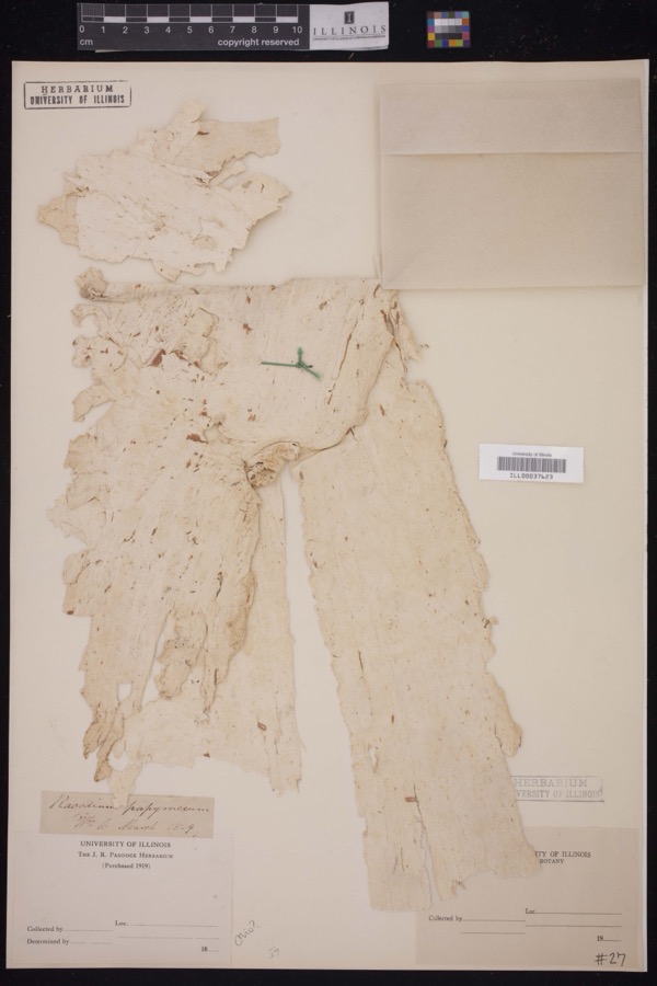
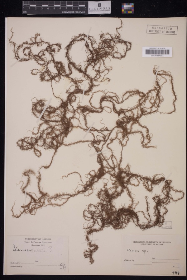
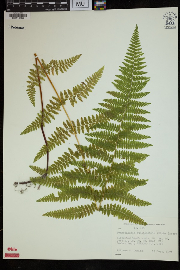
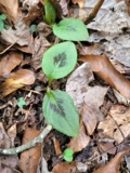
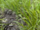
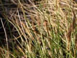
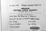
evidence. Museums hold 843 specimens
collected within 10 miles of Brick Tavern House between 1829 and
1975: 590 Plantae, 144 Animalia, 108 Fungi, 1 Unrecorded. 12 distinct Species records are shown.
Collected by A. D. Selby, A. D. Selby & E. L. Moseley, A. D. Selby & J. F. Hicks and others. Each is a
physical object with a catalogue
number, and each entry opens the museum's record. This is what was
collected and kept, not a survey of what lives here - nothing can be
concluded from a species being absent.
No historic map-sheet match is published
for this property yet. That does not mean no map exists. This record needs
a coordinate-quality review before it can be joined to a sheet boundary.
Browse the county's mapped places while that work is
pending.
From the nomination file
3,251 words on record
When this property was proposed for the
National Register, someone wrote the case for it: what the building is,
and why it matters. That document is a federal record in the public domain.
It is quoted below word for word, never summarised. The text was read off the scanned case file by machine, so the
occasional stray character is the recogniser's and the 1970s
typewriter's.
Statement of significance
EX locally Applicable National Register Criteria Criteria Considerations (Exceptions) Areas of Significance (enter categories from instructions) Period of Significance 1831- 1920 statewide COMMERCE See Attached. unknown See continuation sheet Cultural Affiliation Significant Dates nationally Certifying official has considered the significance of this property in relation to other properties: Architect/Builder Significant Person State significance of property, and justify criteria, criteria considerations, and areas and periods of significance noted above. NPS Form 10-900-a OMB Approval No.
1024-0018 United States Department of the Interior National Park Service Brick Tavern House, East Richland, Belmont County, Ohio The Brick Tavern House is significant under criterion A for its early commercial association such as grist mills and tollhouses, the roadside inn has suffered from obsolescence and ette Inn in Madison County (1837) and the Headley Inn in Muskingum County (1833) are the only inns on the National Road listed in the National Register. Located between St. Clairsville and Morristown, the first two major Ohio stops on the National Road (U.S. 40), the Brick Tavern House was used as a stop for travelers.
little documentation exists to indicate which buildings were actually utilized for this purpose in eastern Ohio with the exception of the Brick Tavern House specifically men- The National Road (also referred to as the Cumberland Road, the National Pike, the Old Pike, or after 1926 as U.S. 40) began in Cumberland, Maryland in 1811 and reached Wheeling, Virginia (now West Virginia) in 1818.It was the first federally mandated, served as a means of opening the new State of Ohio and the Northwest Territory to settlement as well as a means of shipping goods from the western lands to the lucrative eastern markets. Funding was delayed to continue the National Road, but in 1825 construction began for the road to cross Ohio and Indiana.
Quoted from the National Register nomination
for reference 95001330, 22 pages, held by the National Archives in Record
Group 79. See the
catalogue record.
Listed places nearby
2 within 8 miles
Other National Register properties close
enough to walk or drive between, ordered by distance from this one. Both
positions come from the same geocoding pass that matched these properties
to their map sheets.
Listing record. National Park Service National Register of Historic Places, listed-properties dataset, current to 2026-05-22.
Map join. Address geocoded through the United States Census geocoder, then tested against the published boundary of every sheet in the USGS Historical Topographic Map Collection.
How this page is made. Listing fields come from federal records; map-sheet coverage is a labelled coordinate-to-boundary calculation, not a source-field claim.
Wildfire. Short, Karen C. 2022. Spatial wildfire occurrence data for the United States, 1992-2020 [FPA_FOD_20221014]. 6th Edition. Fort Collins, CO: Forest Service Research Data Archive. https://doi.org/10.2737/RDS-2013-0009.6 Collected with United States Government funding and usable without additional permissions or fees.
Specimens. Global Biodiversity Information Facility (GBIF), https://www.gbif.org/. Only records licensed CC0 or CC BY are used. Records licensed CC BY-NC are excluded because this site carries advertising. Images are checked individually and any whose licence is non-commercial, no-derivatives or unreadable is refused.
 Block
Block