 Block
Block
Lowell, Ohio
14 topographic sheets cover this place, the earliest surveyed in 1909 and the latest in 1994. It stands in Adams Township. It lies in ZIP code area 45744. It stands on Cat Creek. The Survey maps it on the Lowell quadrangle. 565 people lived here at the 2020 count. It stands 617 feet above sea level.
Population over time
2 figuresLowell grew from 549 to 565 between 2010 and 2020. These are the recorded population figures Wikidata holds for this place, reached through the Geographic Names Information System number this page is keyed on rather than by name, so they belong to this place and not to another of the same name. Most are census counts, but not all are: an early figure may be a founding or settlement estimate. The change column is computed, and is left blank where more than 20 years separate a figure from the one before it, because a gap that long is not a change between two counts.
| Year | People | Change |
|---|---|---|
| 2010 | 549 | |
| 2020 | 565 | +16 (+3%) |
Then and now
1909 to 1994The same ground, surveyed 85 years apart. Drag the handle to wipe between them. Both sheets are United States Geological Survey originals; neither has been altered.
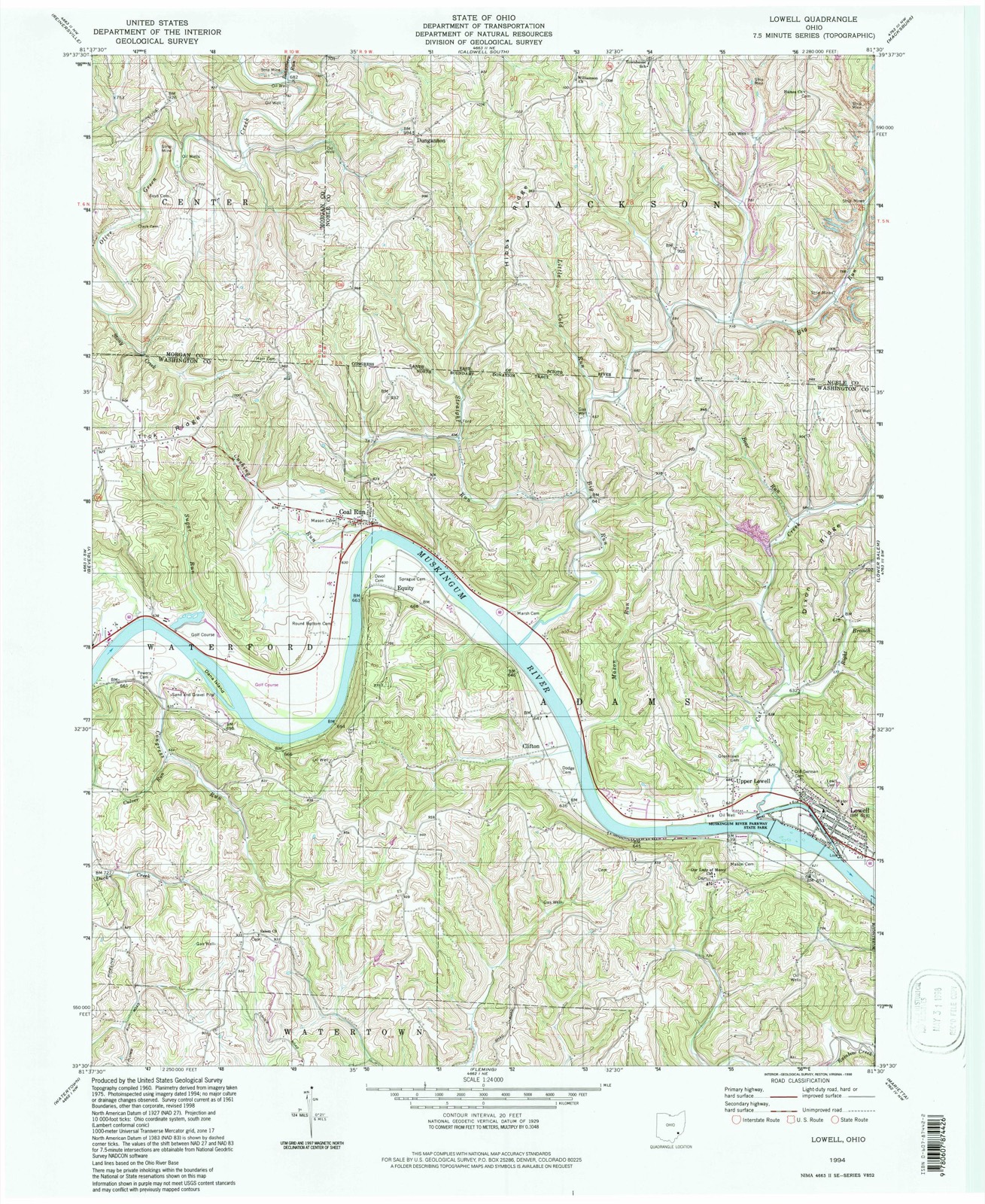
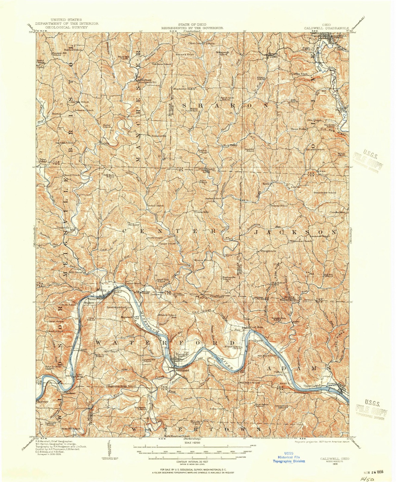
Compare 1909 against another survey:
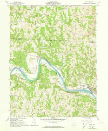
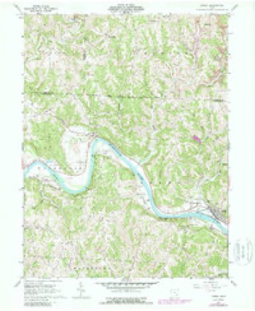
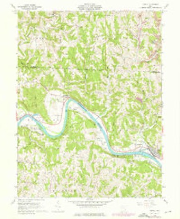
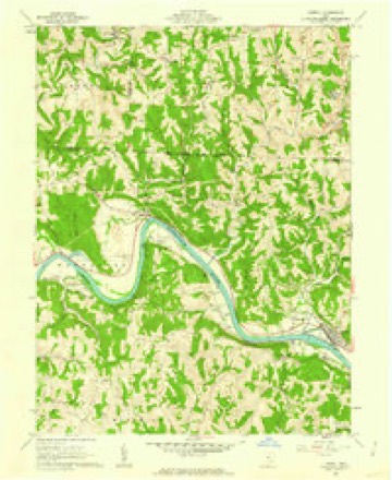
Topographic sheets covering this place
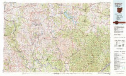
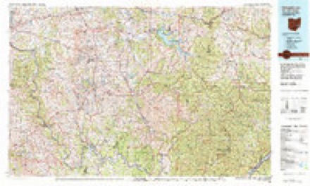
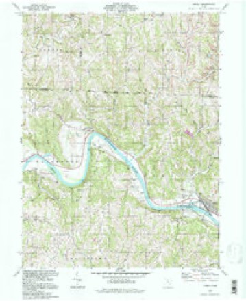
14 sheetsMatched by testing this settlement's coordinate against the published boundary of every sheet in the United States Geological Survey's historical collection. Each opens the scanned sheet at the Survey.
- 1909 USGS Caldwell quadrangle1:62500
- 1912 USGS Caldwell quadrangle1:62500
- 1949 USGS Clarksburg quadrangle1:250000
- 1956 USGS Clarksburg quadrangle1:250000
- 1956 USGS Clarksburg quadrangle1:250000
- 1961 USGS Clarksburg quadrangle1:250000
- 1961 USGS Lowell quadrangle1:24000
- 1961 USGS Lowell quadrangle1:24000
- 1961 USGS Lowell quadrangle1:24000
- 1961 USGS Lowell quadrangle1:24000
- 1980 USGS Senecaville quadrangle1:100000
- 1980 USGS Senecaville Lake quadrangle1:100000
- 1988 USGS Clarksburg quadrangle1:250000
- 1994 USGS Lowell quadrangle1:24000





In the county-history sources
7,567 words on this townshipHistory of Washington County, Ohio, published 1881 names this settlement in its chapter on Adams Township. These are the passages that mention it, exactly as the scans read.
The settlement of Adams was cotemporary with the settlement of the block-house colony on the south branch of Wolf creek, but fortunately suffered no such disaster as the murder of Sherman Waterman, although that event caused great anxiety in the frail garrison located nearly opposite the site of the present town of Buell's Lowell. The inhatitants of this garrison were four families and four single men, all of whom owned land in the vicinity and employed the time during the first summer at clearing and building cabins. The garrisoned cabins which stood near each other on the river bank belonged to, and were occupied by, Nicholas Coburn, with whom Asa, his brother, then a single man, boarded; Robert Allison, with whom Oliver Dodge boarded; Nathan Kinny and family, admitted to their cabin Joseph Simons, and William Davis, whose cabin was the home, during the first summer, of Daniel Davis.
Passage source: History of Washington County, Ohio, published 1881.
William and Daniel Davis, sons of Captain Daniel Davis, one of the forty-eight first emigrants, owned lots in Bear Run allotment. After Wayne's treaty they left the garrison on the Kinny farm, and moved to their own land, a part of which was cleared and planted the first summer. Williard, one of the sons of William Davis, was born March 5, 1806. He married, in 1827, Caroline Shepard, who was born in New York, November 27, 1811. Their family consisted of five children, viz: Elizabeth, Walter, Susan, Willard H., and Mary C., three of whom. are living, Elizabeth, Walter, and Willard. Walter was born August 8, 1832. He married, May 17, 1863, Elizabeth Trapp, daughter of Philip Trapp. They have had five children, four of whom are living: Willard F., Katie, Rosa, and Walter. Mr. Davis has been in mercantile business in Lowell for about seventeen years.
Passage source: History of Washington County, Ohio, published 1881.
William Mason, a native of Massachusetts, joined the Forty-eight Ohio emigrants in April, 1788, and it is said was the second man to leave the boat at Marietta. He married, March 14, 1790, Susanna Coburn. He had received the title of colonel in the Revolution and was a man of prominence in the earlycommunity. He settled in Adams in 1796 or 1797, on the bottom and plain nearly opposite the site of Upper Lowell, where he died September 26, 1813. Of a family of twelve children but one is yet living, Jonas, the third child. There is a tradition that he was the first child born in the township, but this is disputed by others. Adams was at that time a new community and medical services could be obtained only at Marietta or Waterford. This circumstance made it prudent for the wives of the youthful Adams settlement to spend the period of expectancy in one of the older communities. It is said that for more than two years after its first settlement, no child was born on Adams territory. Weare unable to say positively whether or not Mr. Mason was born in this township. He was born May 23, 1797. He married Beulah Stacey, who was born in Rainbow, October 8, 1804. They were married January 24, 1822. The other members of the family of Colonel Mason will be remembered by the old people of this township. Pamela married John Roach, of Adams; Joseph finally settled in Missouri; William lived and died in Upwer Lowell; Susan married in Marion county, where she died; Elijah lived back of Upper Lowell; Simeon' settled in Missouri; Sophronia married Solomon Parke, of Watertown; Clarinda married Abner Devol, of Adams; and Adelpha Coburn Mason, who was born April 12, 1814. He married, in 1836, Patience Simons and settled on lots 8 and 9g of Cat's Creek survey. He had six children who settled as follows: Reuben S., on the Nicholas Coburn farm; Oscar F., in Kansas; William W., killed in the war; Vestie S., (Foster), in Waterford township; Elijah J., in Marietta; and Electa K. (Owen), in Illinois. Reuben S., the oldest son, married Miss L. L. Stacy, by whom he had four children.
Passage source: History of Washington County, Ohio, published 1881.
Machine-read from a century-old scan, so expect the errors a machine makes: misspelled names, dropped words, stray characters.
Read the whole chapter on Adams Township - it names this place 27 more 27 times.
Fires near this place
10 since 2010Regional context, not property-specific evidence. The federal wildfire occurrence database lists 10 fires within 5 miles of Lowell between 2010 and 2020, burning about 8 acres in total. None started naturally. None was recorded as arson. Distance is straight-line from the map coordinates, so a fire counted here may appear on a neighbouring settlement's page as well.
| Reported cause | Fires |
|---|---|
| Debris and open burning | 5 |
| Missing data/not specified/undetermined | 3 |
| Equipment and vehicle use | 1 |
| Smoking | 1 |
The most recent of them, most recent first, with the day each was reported and the service that recorded it.
| Date | Cause | Size | Reported by | Name on the report |
|---|---|---|---|---|
| 19 September 2020 | Debris and open burning | 2.0 acres | Ohio Department of Natural Resources | 15839 |
| 7 April 2010 | Missing data/not specified/undetermined | 2.0 acres | Ohio Department of Natural Resources | not named |
| 5 April 2015 | Missing data/not specified/undetermined | under an acre | Ohio Department of Natural Resources | 710 |
| 9 March 2020 | Missing data/not specified/undetermined | 1.0 acres | Ohio Department of Natural Resources | 15465 |
| 9 March 2013 | Debris and open burning | under an acre | Ohio Department of Natural Resources | not named |
| 18 March 2018 | Debris and open burning | 1.0 acres | Ohio Department of Natural Resources | 12106 |
| 18 March 2016 | Smoking | under an acre | Ohio Department of Natural Resources | 3810 |
| 17 March 2016 | Debris and open burning | 1.0 acres | Ohio Department of Natural Resources | 3886 |
Settlements close enough to share some of these fires:
Specimens collected near this place
12 of 1,329 shownRegional context, not property-specific evidence. Museums hold 1,329 specimens collected within 10 miles of Lowell between 1853 and 1974: 1,238 Animalia, 45 Plantae, 44 Fungi, 1 Unrecorded, 1 Chromista. 12 distinct Species records are shown. Collected by A. D. Selby, A. Drew, A. L. McElhose and others. Each is a physical object with a catalogue number, and each entry opens the museum's record. This is what was collected and kept, not a survey of what lives here - nothing can be concluded from a species being absent.
| Image | Species | Year | Collected by | Where, as recorded |
|---|---|---|---|---|
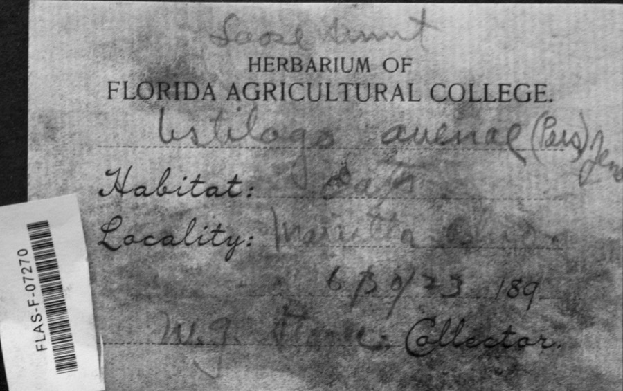 | Ustilago avenae (Pers.) Rostr. | 1923 | W.G. Stoner | Marietta |
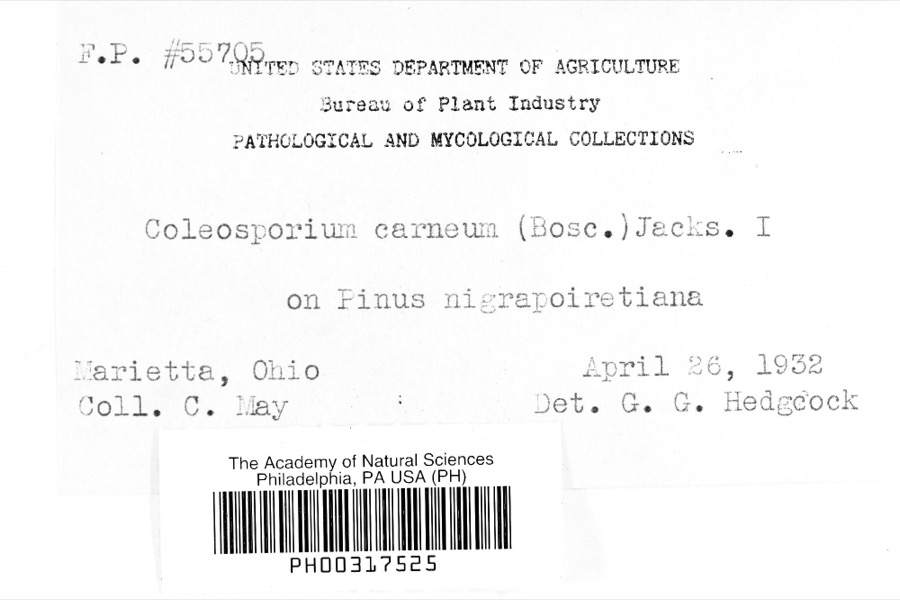 | Coleosporium carneum (Bosc) H.S.Jacks. | 1932 | C. May | Marietta |
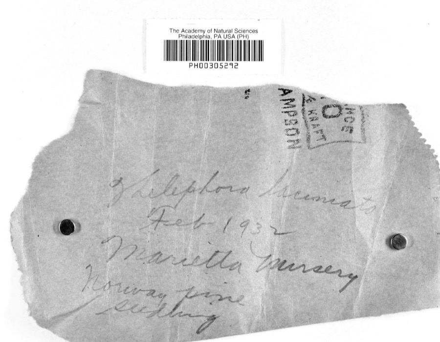 | Thelephora laciniata (Pers.) Pers. | 1932 | L.W.R.J. | Nursery, Marietta |
 | Catostomus commersonii (Lacepède, 1803) | 1853 | E. Andrews | Marietta, Ohio |
 | Actinonaias carinata gibba (C.T.Simpson, 1900) | 1879 | W. Holden | Ohio River, Near Marietta |
 | Trillium sessile L. | 1884 | None | Macksburg |
 | Necturus maculosus (Rafinesque, 1818) | 1886 | Georg Baur | Marietta |
 | Ammocrypta pellucida (Putnam, 1863) | 1888 | C. Gilbert & J. Henshall | Beverly, Ohio, Muskingum River. |
.jpg) | Crystallaria cincotta Welsh & Wood, 2008 | 1888 | Gilbert, C. & Henshall, J. A. (James A.) | Muskingum River, dst Beverly dam RM 24.8, 0.6 miles west of Beverly OH, Waterford township |
 | Hypentelium nigricans (Lesueur, 1817) | 1888 | C. Gilbert & J. Henshall | Beverly, Ohio, Muskingum River. |
 | Notropis whipplei (Girard, 1856) | 1888 | C. Gilbert & J. Henshall | Beverly, Ohio |
 | Percopsis omiscomaycus (Walbaum, 1792) | 1888 | C. Gilbert & J. Henshall | Beverly, Ohio, Muskingum River. |
All 1,329 specimens within 10 miles, at the Global Biodiversity Information Facility.
Mines and quarries near this place
4 within 5 milesRegional context, not property-specific evidence. The federal mineral resources record lists 4 workings within 5 miles of Lowell: 2 past producers, 2 producers. 2 still produce. What was taken out: Sand and Gravel, Construction, Stone, Crushed/Broken. Distance is straight-line from the map coordinates, so a quarry counted here may appear on a neighbouring settlement's page as well.
| Where | Site | Commodity | Status | Recorded |
|---|---|---|---|---|
| Guernsey Limestone Quarry | Stone, Crushed/Broken | Producer | ||
| Muskingum River Plant No 5 & Pit | Sand and Gravel, Construction | Past Producer | ||
| Number 3 Sand and Gravel Pit | Sand and Gravel, Construction | Producer | ||
| Union Slag No. 2 Sand & Gravel Pit | Sand and Gravel, Construction | Past Producer |
Storms near this place
15 since 1997Regional context, not property-specific evidence. The National Weather Service names Lowell in 15 storm reports between 1997 and 2025: 7 hail, 6 thunderstorm wind, 2 flash flood. No death or injury is recorded in these reports. Each account below is quoted exactly as the forecast office filed it, from the NOAA Storm Events Database, and each date opens the federal record of that event.
| When | Event | Place named | Harm | What the report says |
|---|---|---|---|---|
| June 2025 | Thunderstorm Wind | Upper Lowell | $5,000 | Near Upper Lowell, numerous trees were blown down, some of which were uprooted, with a very localized path of damage and measured wind gust of 52 mph. |
| June 1998 | Flash Flood | Lowell | $5,000 | State Routes 60 and 821 were impassable. |
| August 2019 | Thunderstorm Wind | Lowell | $2,000 | Multiple trees and power lines were blown down around Lowell. |
| June 2017 | Flash Flood | Upper Lowell | $2,000 | Duck Creek and the West Fork of Duck Creek flooded, causing road closures on State Route 145 near Lower Salem, and State Route 821 near Whipple. |
| June 2000 | Thunderstorm Wind | Lowell | $2,000 | Several trees were blown down. |
| July 1997 | Thunderstorm Wind | Lowell | $2,000 | no account filed |
| July 2011 | Hail | Lowell | - | no account filed |
| July 2011 | Hail | Lowell | - | no account filed |
| June 2009 | Hail | Lowell | - | no account filed |
| April 2006 | Hail | Lowell | - | no account filed |
| April 2006 | Thunderstorm Wind | Lowell | - | no account filed |
| June 2006 | Hail | Lowell | - | no account filed |
| June 2005 | Thunderstorm Wind | Lowell | - | no account filed |
| May 2004 | Hail | Lowell | - | no account filed |
| July 2003 | Hail | Lowell | - | no account filed |
Nearest settlements
The eight closest, with where each one stands in the county. Distances are straight-line, computed from the Geographic Names Information System coordinates.
| Map | Place | Distance | Sheets |
|---|---|---|---|
| Upper Lowell | 0.9 miles | 14 | |
| Buells (historical) | 1.3 miles | 13 | |
| Clifton | 2.5 miles | 14 | |
| Alden | 3.2 miles | 16 | |
| Rainbow | 3.3 miles | 17 | |
| Devola | 4.1 miles | 17 | |
| Equity | 4.2 miles | 14 | |
| Coal Run | 4.8 miles | 14 |
Elsewhere
Matched on this settlement's Geographic Names Information System number rather than its name, so it cannot be a different place of the same name in another state.
| Wikipedia article on Lowell | An encyclopaedic summary. Its text is share-alike, so it is linked here rather than copied. |
| Wikidata item Q2050274 | The structured record the population and elevation above come from. Public domain (CC0). |
Provenance
This settlement is recorded in the Geographic Names Information System as feature 1065718. The sheet list is computed by point-in-boundary test against the United States Geological Survey's historical topographic inventory. Both are works of the United States government and carry no copyright under 17 U.S.C. 105.
Wildfire. Short, Karen C. 2022. Spatial wildfire occurrence data for the United States, 1992-2020 [FPA_FOD_20221014]. 6th Edition. Fort Collins, CO: Forest Service Research Data Archive. https://doi.org/10.2737/RDS-2013-0009.6 Collected with United States Government funding and usable without additional permissions or fees.
Specimens. Global Biodiversity Information Facility (GBIF), https://www.gbif.org/. Only records licensed CC0 or CC BY are used. Records licensed CC BY-NC are excluded because this site carries advertising. Images are checked individually and any whose licence is non-commercial, no-derivatives or unreadable is refused.
Mines and quarries. USGS Mineral Resources Data System (MRDS) https://mrdata.usgs.gov/mrds/ A work of the United States government, no copyright under 17 U.S.C. 105.
Storms. NOAA National Centers for Environmental Information, Storm Events Database https://www.ncei.noaa.gov/stormevents/ A work of the United States government, no copyright under 17 U.S.C. 105. Narratives are quoted verbatim from the National Weather Service report and are not edited or summarised.