 Block
Block
Mansfield, Ohio
14 topographic sheets cover this place, the earliest surveyed in 1915 and the latest in 1994. It stands in Mansfield City. It lies in ZIP code area 44902. It stands on Touby Run. The Survey maps it on the Mansfield North quadrangle. 47,534 people lived here at the 2020 count. It stands 1,240 feet above sea level.
Research this city
This curated hub for Richland County, Ohio brings together the page's documented record links, visible map or image evidence where published, and routes to related local records.
What is documented here?
Use the page's provenance and linked records to distinguish the source material from the site's navigation and summaries.
How should I cite it?
Open the original record, preserve its repository and identifier, then use the citation tool for this page as a path back to the source.
Where should I go next?
Follow the county or state hub for related places and records, then use the guide for a source-aware research sequence.
Population over time
2 figuresMansfield fell from 47,821 to 47,534 between 2010 and 2020. These are the recorded population figures Wikidata holds for this place, reached through the Geographic Names Information System number this page is keyed on rather than by name, so they belong to this place and not to another of the same name. Most are census counts, but not all are: an early figure may be a founding or settlement estimate. The change column is computed, and is left blank where more than 20 years separate a figure from the one before it, because a gap that long is not a change between two counts.
| Year | People | Change |
|---|---|---|
| 2010 | 47,821 | |
| 2020 | 47,534 | -287 (-1%) |
Then and now
1915 to 1994The same ground, surveyed 79 years apart. Drag the handle to wipe between them. Both sheets are United States Geological Survey originals; neither has been altered.

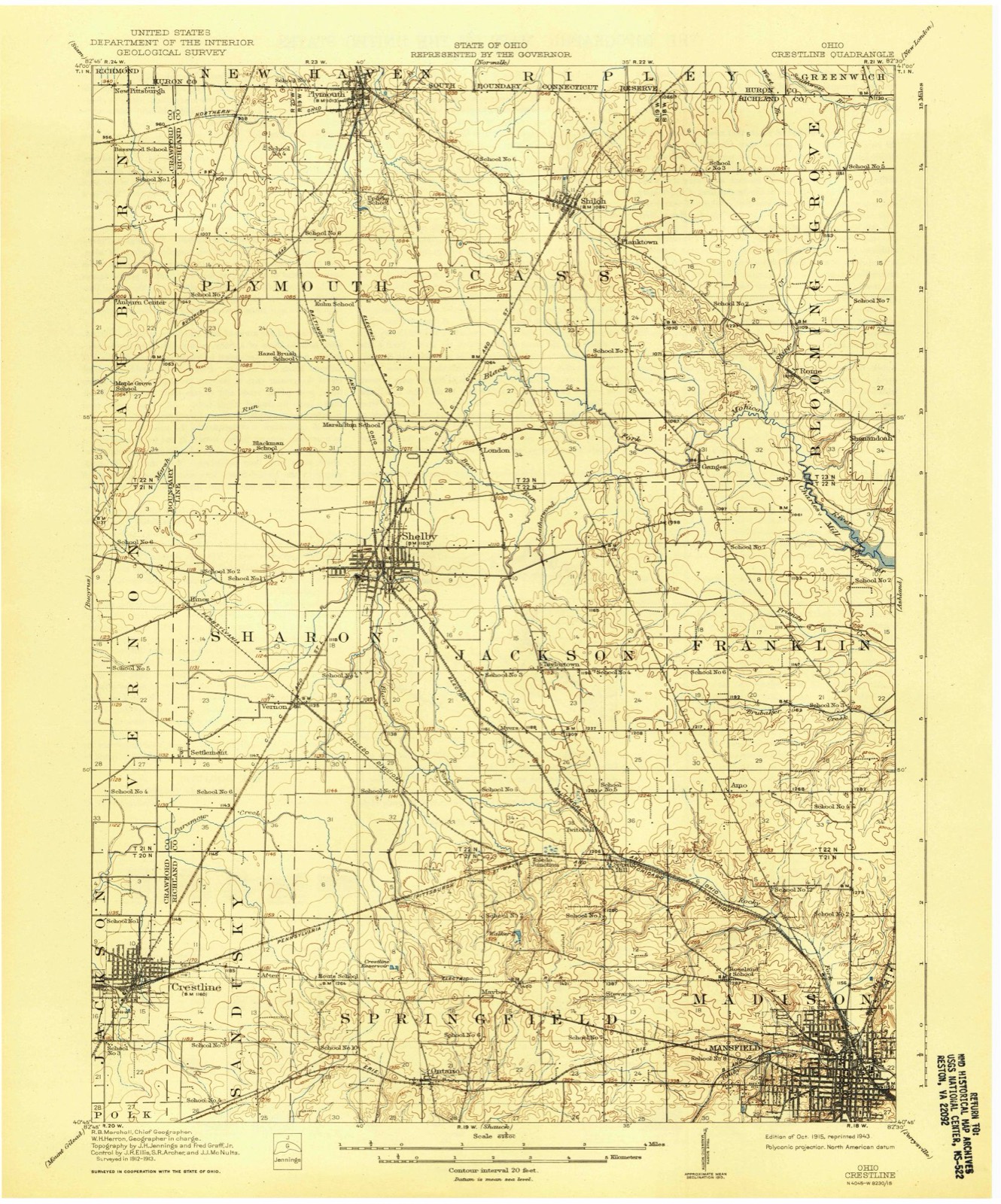
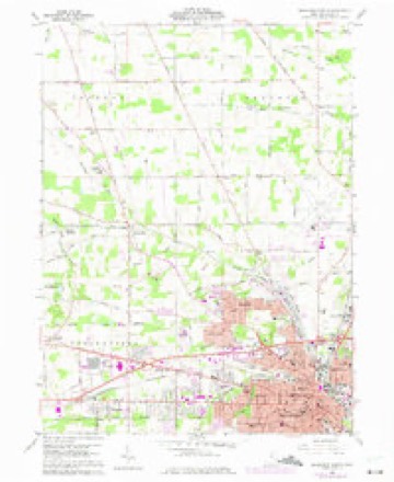
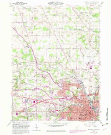
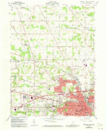
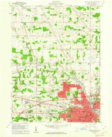
Topographic sheets covering this place
14 sheetsMatched by testing this settlement's coordinate against the published boundary of every sheet in the United States Geological Survey's historical collection. Each opens the scanned sheet at the Survey.
- 1915 USGS Crestline quadrangle1:62500
- 1943 USGS Crestline quadrangle1:62500
- 1943 USGS Crestline quadrangle1:62500
- 1950 USGS Marion quadrangle1:250000
- 1960 USGS Mansfield North quadrangle1:24000
- 1960 USGS Mansfield North quadrangle1:24000
- 1960 USGS Mansfield North quadrangle1:24000
- 1960 USGS Mansfield North quadrangle1:24000
- 1962 USGS Marion quadrangle1:250000
- 1966 USGS Marion quadrangle1:250000
- 1966 USGS Marion quadrangle1:250000
- 1966 USGS Marion quadrangle1:250000
- 1986 USGS Mansfield quadrangle1:100000
- 1994 USGS Mansfield quadrangle1:100000







Photographs
8 photographs, 2016Taken for the Office of War Information and the Farm Security Administration, who photographed the country between 1935 and 1944. Works of United States government photographers, with no known restriction on use. Each opens its catalogue record.

Highsmith, Carol M, 2016. Library of Congress

Highsmith, Carol M, 2016. Library of Congress
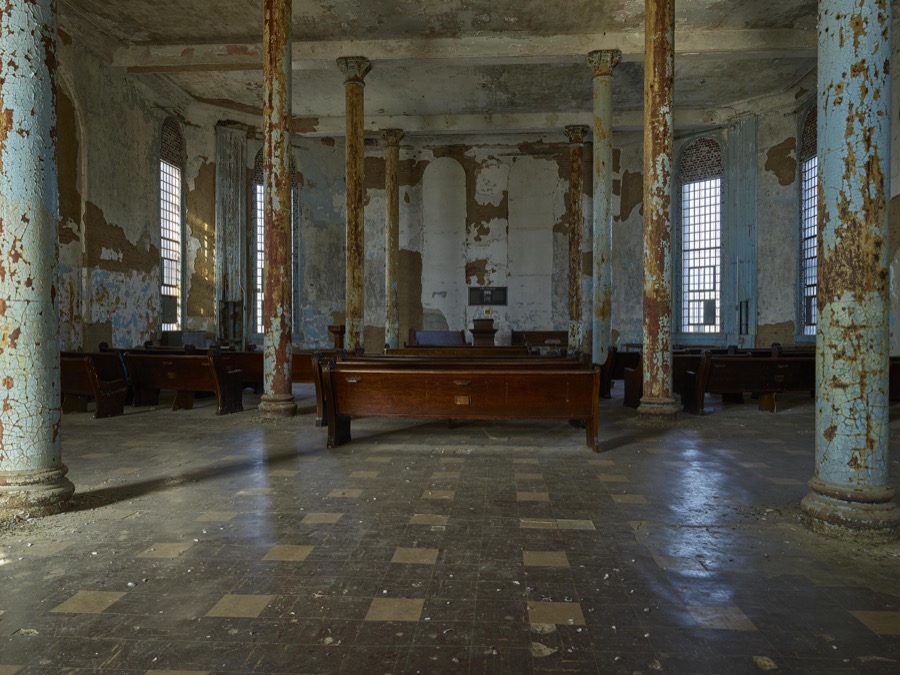
Highsmith, Carol M, 2016. Library of Congress

Highsmith, Carol M, 2016. Library of Congress

Highsmith, Carol M, 2016. Library of Congress

Highsmith, Carol M, 2016. Library of Congress

Highsmith, Carol M, 2016. Library of Congress

Highsmith, Carol M, 2016. Library of Congress
Fires nearby
3 since 2002The federal wildfire occurrence database lists 3 fires within 5 miles of Mansfield between 2002 and 2005, burning about 2 acres in total. None started naturally. None was recorded as arson. Distance is straight-line from the map coordinates, so a fire counted here may appear on a neighbouring settlement's page as well.
| Reported cause | Fires |
|---|---|
| Debris and open burning | 2 |
| Smoking | 1 |
The most recent of them, most recent first, with the day each was reported and the service that recorded it.
| Date | Cause | Size | Reported by | Name on the report |
|---|---|---|---|---|
| 4 July 2002 | Smoking | under an acre | Ohio State Fire Marshal's Office | not named |
| 3 April 2003 | Debris and open burning | 1.5 acres | Ohio Department of Natural Resources | not named |
| 19 April 2005 | Debris and open burning | under an acre | Ohio Department of Natural Resources | not named |
Settlements close enough to share some of these fires:
Specimens collected nearby
12 of 754 shownMuseums hold 754 specimens collected within 10 miles of Mansfield between 1835 and 1975: 491 Plantae, 253 Animalia, 10 Fungi. 12 distinct Species records are shown. Collected by Berra, T. (Tim), C F WALKER, Chase, H. (Hazel) and others. Each is a physical object with a catalogue number, and each entry opens the museum's record. This is what was collected and kept, not a survey of what lives here - nothing can be concluded from a species being absent.
| Image | Species | Year | Collected by | Where, as recorded |
|---|---|---|---|---|
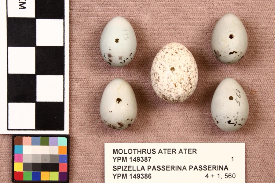 | Molothrus ater ater (Boddaert, 1783) | 1892 | not recorded | Mansfield |
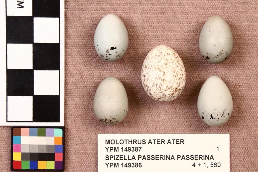 | Spizella passerina passerina (Bechstein, 1798) | 1892 | not recorded | Mansfield |
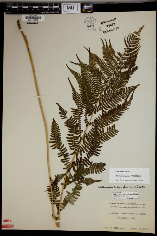 | Athyrium angustum (Willd.) C.Presl | 1895 | Wilkinson, E. | Mansfield. |
 | Alisma subcordatum Raf. | 1835 | Wilkinson, E. | Mansfield |
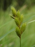 | Carex scoparia Schkuhr ex Willd. | 1835 | Wilkinson, E. | Mansfield |
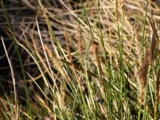 | Carex stricta Lam. | 1835 | Herb. of E. Wilkinson | Mansfield |
 | Erigeron bellidifolius Muhl. ex Willd. | 1835 | Wilkinson,E. 5229 | [USA, Ohio] Mansfield, Ohio. |
 | Penthorum sedoides L. | 1835 | E. Wilkinson | Mansfield |
 | Verbascum thapsus L. | 1835 | Wilkinson, E. | Mansfield |
 | Achillea millefolium L. | 1836 | Wilkinson, E. | Mansfield |
 | Angelica atropurpurea L. | 1836 | Wilkinson, E. | Mansfield |
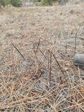 | Apocynum androsaemifolium L. | 1836 | Wilkinson, E. | Mansfield |
All 754 specimens within 10 miles, at the Global Biodiversity Information Facility.
Mines and quarries nearby
1 within 5 milesThe federal mineral resources record lists 1 working within 5 miles of Mansfield: 1 producer. All of them still produce. What was taken out: Iron. Distance is straight-line from the map coordinates, so a quarry counted here may appear on a neighbouring settlement's page as well.
| Where | Site | Commodity | Status | Recorded |
|---|---|---|---|---|
| Empire Steel-Cyclops Div/ Mansfield | Iron | Producer |
Storms nearby
60 of 108 shownThe National Weather Service names Mansfield in 108 storm reports between 1994 and 2026: 54 thunderstorm wind, 43 hail, 7 flash flood, 2 tornado. No death or injury is recorded in these reports. Each account below is quoted exactly as the forecast office filed it, from the NOAA Storm Events Database, and each date opens the federal record of that event.
| When | Event | Place named | Harm | What the report says |
|---|---|---|---|---|
| August 2003 | Flash Flood | Mansfield | $500,000 | Thunderstorms dumped one to three inches of rain on portions of Richland County in a short period of time. Three inches of rain was measured by spotters in Mansfield in less than two hours. Widespread urban and lowland flooding occurred across the county with the Mansfield and Ontario areas most severely affected. Water eight feet deep was reported in an underpass on the east side of Mansfield with up to three feet of water on many other area roads. Several vehicles were stranded in the flood waters. In Mansfield, a basement wall collapsed causing extensive damage to a home. Several hundred other homes in the county experienced basement flooding. |
| July 2003 | Flash Flood | Mansfield | $500,000 | Thunderstorms dumped two to three inches of rain on Mansfield during the evening hours. Widespread street and lowland flooding occurred as several streams and creeks left their banks. A library had to be evacuated due to flooding in a ground level lobby and parking garage. Several streets in the downtown area flooded stranding many vehicles. Several people had to be rescued from their vehicles. Water up to eight feet deep was reported in an underpass just east of downtown. |
| April 2002 | Thunderstorm Wind | Mansfield | $75,000 | Thunderstorm winds tore sections of roofing off of two large buildings and downed many trees on the northwest side of Mansfield. A windshield was also blown out of a car. |
| October 1999 | Thunderstorm Wind | Mansfield | $60,000 | Thunderstorms winds estimated at 60 mph blew the roof off of a house along Kentucky Avenue on the north side of Mansfield. The roofs of two other homes were partially blown off. |
| June 1994 | Thunderstorm Wind | Mansfield | $50,000 | Trees downed, some on power lines. |
| June 2007 | Thunderstorm Wind | Mansfield | $40,000 | Thunderstorm winds tore portions of roof off of two buildings on the east side of Mansfield. |
| June 2010 | Tornado (EF0) | East Mansfield | $35,000 | An EF0 tornado touched down in rural Richland County about two miles north northwest of Lucas. The initial touchdown occurred near the intersection of Crimson and Mount Zion Roads. The tornado then continued southeast for around four tenths of a mile before dissipating. The damage path suggests that the tornado may not have been in constant contact with the ground. The damage path was no more than 20 yards in width. A barn was leveled by the tornado and two other buildings were damaged. Four cattle were injured by flying debris. Debris from the destroyed barn was found about three miles away from the location of the touchdown. |
| June 2006 | Thunderstorm Wind | Mansfield | $35,000 | Numerous trees were reported down, and a barn was destroyed. |
| November 2005 | Thunderstorm Wind | Mansfield | $35,000 | Several utility poles were downed from severe thunderstorm winds. |
| April 2002 | Hail | Mansfield | $35,000 | Dime to half dollar size hail was reported. Several vehicles were damaged. |
| January 2008 | Thunderstorm Wind | Mansfield | $30,000 | Trees were reported down countywide. |
| July 2005 | Thunderstorm Wind | Mansfield | $30,000 | Several trees were reported down. One tree fell onto a house and caused some damage. |
| May 2004 | Thunderstorm Wind | Mansfield | $30,000 | Thunderstorm winds blew over a semi truck on the west side of Mansfield. |
| June 1998 | Thunderstorm Wind | Mansfield | $30,000 | Many trees were downed in and near Mansfield and the roof was torn off of a building at Mansfield Reformatory. |
| June 1996 | Flash Flood | Mansfield | $30,000 | no account filed |
| June 2013 | Thunderstorm Wind | Mansfield | $25,000 | Thunderstorm winds downed several trees across the county. One of the fallen trees partially blocked Interstate 71. |
| November 2013 | Thunderstorm Wind | Mansfield | $25,000 | Thunderstorm winds downed a few trees and large limbs across Richland County. |
| May 2005 | Thunderstorm Wind | Mansfield | $25,000 | Thunderstorm winds estimated at 58 mph did considerable damage at a racetrack near Mansfield Lahm Airport. A 52 mph wind gust was recorded at the airport at 7:09 p.m. Two sections of temporary bleachers were toppled and destroyed. |
| June 2010 | Thunderstorm Wind | Mansfield | $20,000 | Thunderstorm winds downed several trees across Richland County. |
| July 2017 | Thunderstorm Wind | Mansfield | $15,000 | Thunderstorm winds downed a few trees across Richland County. |
| July 2013 | Thunderstorm Wind | Mansfield | $15,000 | Thunderstorm winds were estimated to be at least 60 mph. Several trees were reported down in the Mansfield and Lexington areas. |
| April 2011 | Thunderstorm Wind | Mansfield | $15,000 | Thunderstorm winds caused structural damage in the Mansfield area. |
| March 1995 | Thunderstorm Wind | North Mansfield | $15,000 | Several mobile homes were damaged; trees were downed. |
| April 2004 | Thunderstorm Wind | Mansfield | $12,000 | Thunderstorm winds downed several trees and a utility pole. |
| June 2022 | Thunderstorm Wind | Mansfield | $10,000 | Power pole fell onto a delivery truck about two-miles southwest of Mansfield. Farther downstream (i.e. about two-miles SSW of Mansfield), a large tree fell onto a house and punctured its roof. |
| June 2011 | Thunderstorm Wind | Mansfield | $10,000 | Damaging winds from a supercell thunderstorm downed several large trees. |
| April 2011 | Thunderstorm Wind | Mansfield | $10,000 | Thunderstorm winds damaged a structure. |
| August 2003 | Thunderstorm Wind | Mansfield | $10,000 | Thunderstorm winds downed a few trees. |
| July 2002 | Thunderstorm Wind | Mansfield | $10,000 | Thunderstorm winds downed a few trees. |
| June 2002 | Hail | Mansfield | $10,000 | Quarter size hail was observed. |
| June 2000 | Thunderstorm Wind | Mansfield | $10,000 | Thunderstorms winds downed many trees, especially on the south side of Mansfield. |
| August 2000 | Thunderstorm Wind | Mansfield | $10,000 | Thunderstorm winds downed many trees in Mansfield and Shenandoah. |
| August 1997 | Tornado (F0) | Mansfield | $10,000 | A small tornado touched down east of Mansfield near State Route 430 in Mifflin Township. It remained on the ground for only a short time and downed numerous trees. |
| June 1996 | Flash Flood | Mansfield | $10,000 | no account filed |
| November 2002 | Thunderstorm Wind | Mansfield | $8,000 | Thunderstorm winds downed three trees. |
| June 2010 | Thunderstorm Wind | Mansfield | $5,000 | Thunderstorm winds knocked down a scoreboard at a baseball field located near the intersection of State Route 13 and U.S. Highway 30. Dugouts at the field also sustained minor damage. |
| January 2008 | Thunderstorm Wind | Mansfield | $5,000 | Five trees were reported down by law enforcement across the county. |
| June 2007 | Thunderstorm Wind | Mansfield | $5,000 | Thunderstorm winds downed a large sign along U.S Highway 42 on the east side of Mansfield. A tree nearby was also downed. |
| April 2004 | Hail | Mansfield | $5,000 | Half dollar size hail was observed seven miles east of Mansfield. |
| November 2002 | Hail | Mansfield | $5,000 | Quarter size hail was observed two miles north of Mansfield. |
| April 2002 | Hail | Mansfield | $5,000 | Dime size hail was reported. |
| August 1994 | Thunderstorm Wind | Mansfield | $5,000 | no account filed |
| May 2014 | Hail | Mansfield | $3,000 | A trained weather spotter reported quarter size hail in Mansfield. |
| June 2014 | Thunderstorm Wind | Mansfield | $3,000 | Thunderstorm winds downed several large tree limbs. |
| June 2005 | Thunderstorm Wind | Mansfield | $3,000 | A large tree and a few large limbs were reported down. |
| September 2003 | Thunderstorm Wind | Mansfield | $3,000 | Thunderstorm winds downed a few large tree limbs. |
| June 1998 | Thunderstorm Wind | Mansfield | $3,000 | Large limbs and power lines were downed. |
| July 1997 | Thunderstorm Wind | Mansfield | $3,000 | no account filed |
| April 2014 | Hail | Mansfield | $2,000 | A trained weather spotter reported quarter size hail and wind gusts to 50 mph. |
| June 2014 | Thunderstorm Wind | Mansfield | $2,000 | Thunderstorm winds downed a couple of trees. |
| June 2010 | Thunderstorm Wind | Mansfield | $2,000 | Thunderstorm winds downed a few large tree limbs. |
| July 2006 | Thunderstorm Wind | Mansfield | $2,000 | A few large limbs were reported down. |
| July 2003 | Thunderstorm Wind | Mansfield | $2,000 | Thunderstorm winds downed two large trees limbs in Washington Township to the south of Mansfield. |
| July 2001 | Thunderstorm Wind | Mansfield | $2,000 | Thunderstorm winds downed a tree five miles east of Mansfield. |
| May 2018 | Thunderstorm Wind | East Mansfield | $1,000 | Thunderstorm winds downed a tree which blocked a road in Mansfield. |
| May 2013 | Thunderstorm Wind | Mansfield | $1,000 | Thunderstorm winds downed a large tree. |
| March 2011 | Hail | Mansfield | $1,000 | Pea sized hail was reported with this storm. |
| June 2010 | Thunderstorm Wind | Mansfield | $1,000 | Thunderstorm winds downed several large tree limbs. |
| March 2026 | Hail | Mansfield | - | Hail up to quarter-size about two-miles SSW of Mansfield. |
| March 2026 | Hail | Mansfield | - | Hail up to quarter-size about 1.5-miles southwest of Mansfield. |
Nearest settlements
The eight closest, with where each one stands in the county. Distances are straight-line, computed from the Geographic Names Information System coordinates.
| Map | Place | Distance | Sheets |
|---|---|---|---|
| East Mansfield | 1.4 miles | 14 | |
| Lincoln Heights | 1.9 miles | 14 | |
| Midpoint Woods | 1.9 miles | 14 | |
| South Boulevards | 2.0 miles | 14 | |
| Spring Grove (historical) | 2.0 miles | 14 | |
| Colonial Hills | 2.2 miles | 14 | |
| Roseland | 2.5 miles | 14 | |
| Wooster Heights | 2.7 miles | 14 |
Elsewhere
Matched on this settlement's Geographic Names Information System number rather than its name, so it cannot be a different place of the same name in another state.
| Wikipedia article on Mansfield | An encyclopaedic summary. Its text is share-alike, so it is linked here rather than copied. |
| Wikidata item Q983698 | The structured record the population and elevation above come from. Public domain (CC0). |
Provenance
This settlement is recorded in the Geographic Names Information System as feature 1056410. The sheet list is computed by point-in-boundary test against the United States Geological Survey's historical topographic inventory. Both are works of the United States government and carry no copyright under 17 U.S.C. 105.
Wildfire. Short, Karen C. 2022. Spatial wildfire occurrence data for the United States, 1992-2020 [FPA_FOD_20221014]. 6th Edition. Fort Collins, CO: Forest Service Research Data Archive. https://doi.org/10.2737/RDS-2013-0009.6 Collected with United States Government funding and usable without additional permissions or fees.
Specimens. Global Biodiversity Information Facility (GBIF), https://www.gbif.org/. Only records licensed CC0 or CC BY are used. Records licensed CC BY-NC are excluded because this site carries advertising. Images are checked individually and any whose licence is non-commercial, no-derivatives or unreadable is refused.
Mines and quarries. USGS Mineral Resources Data System (MRDS) https://mrdata.usgs.gov/mrds/ A work of the United States government, no copyright under 17 U.S.C. 105.
Storms. NOAA National Centers for Environmental Information, Storm Events Database https://www.ncei.noaa.gov/stormevents/ A work of the United States government, no copyright under 17 U.S.C. 105. Narratives are quoted verbatim from the National Weather Service report and are not edited or summarised.