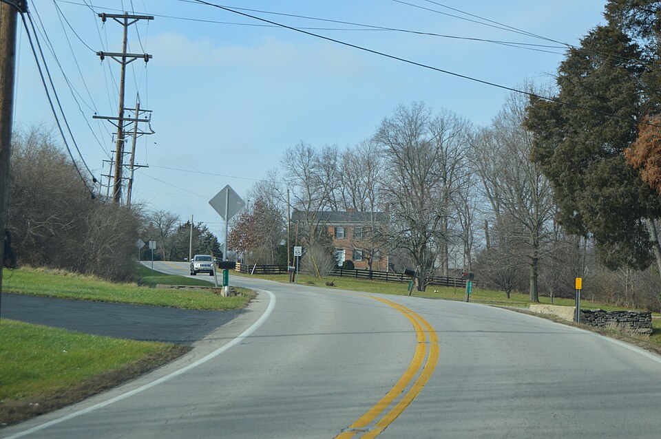
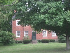
Listed on the National Register of Historic Places in
1973. A historic map-sheet match is not published yet. The record needs a coordinate-quality review before it can be joined to a sheet boundary.
From the record
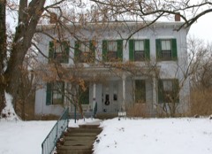
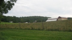
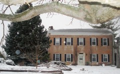
“Cochran Farm, 2900 Ohio 129, Millville, was added to the National Register of Historic Places in 1973. The web site of the Ohio Historic Preservation Office of the Ohio Historical Society says "William and Rebecca Cochran came from Adams County, Pennsylvania in 1814.”
Wikipedia article Cochran Farm, CC BY-SA 4.0.
one of 63 National Register listings in Butler County · listed in 1973 · category: Building · one of 3 National Historic Landmarks in Butler County.
National Register reference number.73001390- the number the National Park Service assigned this property when it was listed, and the key its nomination file is catalogued under at the National Archives.
The most prominent of all the early roads was the Trace road, passing through Layhigh and on to the Miami, much as the road now does. Another road, which was of considerable note, is now the Venice and Millville road. Paddy's Run road ran from Hamilton to New London. The road as it now is passes over pretty much the same road-bed. The Lawrenceburg and Columbus, or State road, leading from the former of these places in Indiana to the capital of Ohio, was in constant use in 1811. It followed the ridges so as to prevent cuts - a plan the early surveyors often used to great advantage in locating highways through a new country. In 1808 there were very few houses between Millville and Hamilton. One stood where Robert Dick now lives. Another was known as Sutherland's, on the upper road or pike, and stood where the toll-gate now is. Both of these houses are standing.
In 1811 Thomas Moorehead opened for his family a burying-ground on the east side of Indian Creek, one mile below Millville. This place of interment was among the first in the township. The yard is now overgrown with briers and bushes. There is another very old yard on the farm now owned by Mr. Hoover, of Venice, on the left bank of Indian Creek, near the Miami, which was established in the year 1811. This yard is now in a very bad condition - without fences, overgrown with briers, bushes, and left to take care of itself, apparently.
Regional context, not property-specific
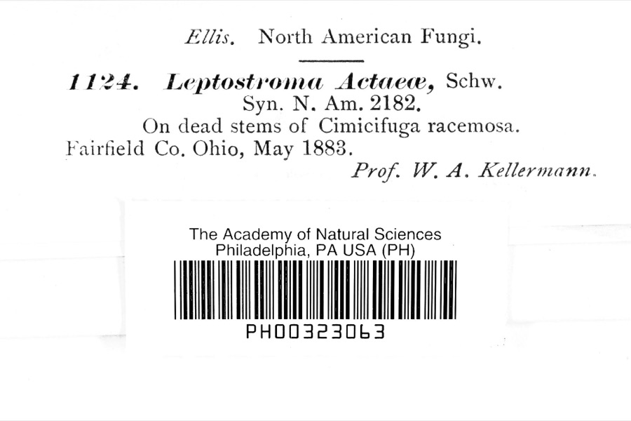
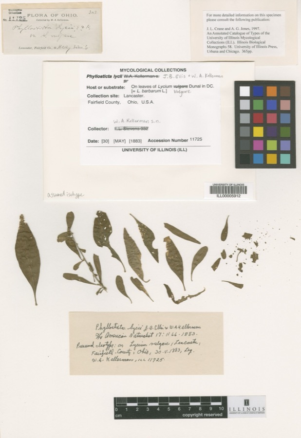
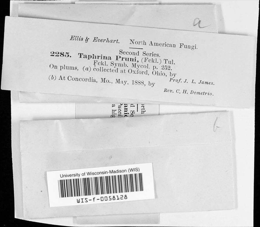
evidence. Museums hold 1,856 specimens
collected within 10 miles of Cochran Farm between 1835 and
1975: 871 Animalia, 760 Fungi, 154 Plantae, 57 Protozoa, 13 Unrecorded, 1 Chromista. 12 distinct Species records are shown.
Collected by A. R. Gaufin, A. V. J.; W. G. S., A.R. Gaufin, H.H. Ross and others. Each is a
physical object with a catalogue
number, and each entry opens the museum's record. This is what was
collected and kept, not a survey of what lives here - nothing can be
concluded from a species being absent.
Regional context, not property-specific
evidence. The federal mineral resources record lists
10 workings within 5 miles of Cochran Farm: 5 producers, 4 past producers, 1 plant.
6 still produce. What was taken out: Sand and Gravel, Construction. Distance is straight-line from the
map coordinates, so a quarry counted here may appear on a neighbouring
settlement's page as well.
Regional context, not property-specific
evidence. The National Weather Service names
Millville, the town this property stands in, in 15 storm reports between 1993 and 2026: 6 flash flood, 4 thunderstorm wind, 2 hail, 2 flood.
The reports record 1 injury. Each account below is quoted exactly as the forecast office
filed it, from the NOAA Storm Events Database, and each date
opens the federal record of that event.
Over a foot of standing water inundated at least eleven cars at a local car dealer and portions of the corner gas station. Several homes also had water over their porches, up to their front doors.
Indian Creek came out of its banks and inundated the basement and first floor of a home near the intersection of Walnut Street and Ross Hanover Road. A swift water rescue was needed to remove the family from the home.
Several properties were inundated with high water in New Miami. Homes were evacuated along Warwick Road just north of the city of Hamilton. Several roads were flooded throughout the area.
US Route 27 and State Route 128 flooded and closed between Millville and Ross. High water caused minor damage to a nearby outdoor bar. A car fell into a flooded drainage ditch in the bar parking lot.
No historic map-sheet match is published
for this property yet. That does not mean no map exists. This record needs
a coordinate-quality review before it can be joined to a sheet boundary.
Browse the county's mapped places while that work is
pending.
From the nomination file
2,982 words on record
When this property was proposed for the
National Register, someone wrote the case for it: what the building is,
and why it matters. That document is a federal record in the public domain.
It is quoted below word for word, never summarised. The text was read off the scanned case file by machine, so the
occasional stray character is the recogniser's and the 1970s
typewriter's.
Statement of significance
William and Rebecca Cochran came from Adams County, Pennsylvania The house, dairy and barns, essentially unaltered, are a Cincinnati Gas and Electric Company transmission line which JUL 2 1973 Conservation Commerce Engineering Transportation Communications NATIONAL Architecture REGISTER losophy Science Music Theater Aboriginal SIGNIFICANCE Prehistoric Ohio. Agriculture Literature Sculpture Political Landscape his daughters.
Social/Human- RECEIVED itarian The property is presently in some danger from a proposed William Cochran owned much property in the area and in 1821 Invention fine example of a mid 19th century farm group in southern purchased the Miilville Mill which had been built by Joel couple had seven children.The youngest of these lived in William and Rebecca had three sons; one, James W. Cochran, later took over ownership of the mill and settled just west of the town of Millville. He married Mary June Hill and the will run to the east side)of the house. Religion/Phi. Military Williams in 1805. Industry ca. 1836 in 1814. They settled in Hamilton County where they lived Art the home until his death in 1946.The property is owned by AREAS OF SIGNIFICANCE (Check One or More as Appropriate)
Quoted from the National Register nomination
for reference 73001390, 18 pages, held by the National Archives in Record
Group 79. See the
catalogue record.
Listed places nearby
6 within 8 miles
Other National Register properties close
enough to walk or drive between, ordered by distance from this one. Both
positions come from the same geocoding pass that matched these properties
to their map sheets.
Listing record. National Park Service National Register of Historic Places, listed-properties dataset, current to 2026-05-22.
Map join. Address geocoded through the United States Census geocoder, then tested against the published boundary of every sheet in the USGS Historical Topographic Map Collection.
How this page is made. Listing fields come from federal records; map-sheet coverage is a labelled coordinate-to-boundary calculation, not a source-field claim.
Specimens. Global Biodiversity Information Facility (GBIF), https://www.gbif.org/. Only records licensed CC0 or CC BY are used. Records licensed CC BY-NC are excluded because this site carries advertising. Images are checked individually and any whose licence is non-commercial, no-derivatives or unreadable is refused.
Mines and quarries. USGS Mineral Resources Data System (MRDS) https://mrdata.usgs.gov/mrds/ A work of the United States government, no copyright under 17 U.S.C. 105.
Storms. NOAA National Centers for Environmental Information, Storm Events Database https://www.ncei.noaa.gov/stormevents/ A work of the United States government, no copyright under 17 U.S.C. 105. Narratives are quoted verbatim from the National Weather Service report and are not edited or summarised.
 Block
Block