 Block
Block
Mineral City, Ohio
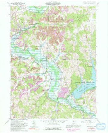
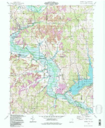
17 topographic sheets cover this place, the earliest surveyed in 1912 and the latest in 1994. It stands in Sandy Township. It lies in ZIP code area 44656. It stands on Huff Run. The Survey maps it on the Mineral City quadrangle. 652 people lived here at the 2020 count. It stands 945 feet above sea level.
Population over time
2 figuresMineral City fell from 727 to 652 between 2010 and 2020. These are the recorded population figures Wikidata holds for this place, reached through the Geographic Names Information System number this page is keyed on rather than by name, so they belong to this place and not to another of the same name. Most are census counts, but not all are: an early figure may be a founding or settlement estimate. The change column is computed, and is left blank where more than 20 years separate a figure from the one before it, because a gap that long is not a change between two counts.
| Year | People | Change |
|---|---|---|
| 2010 | 727 | |
| 2020 | 652 | -75 (-10%) |
Then and now
1912 to 1994The same ground, surveyed 82 years apart. Drag the handle to wipe between them. Both sheets are United States Geological Survey originals; neither has been altered.
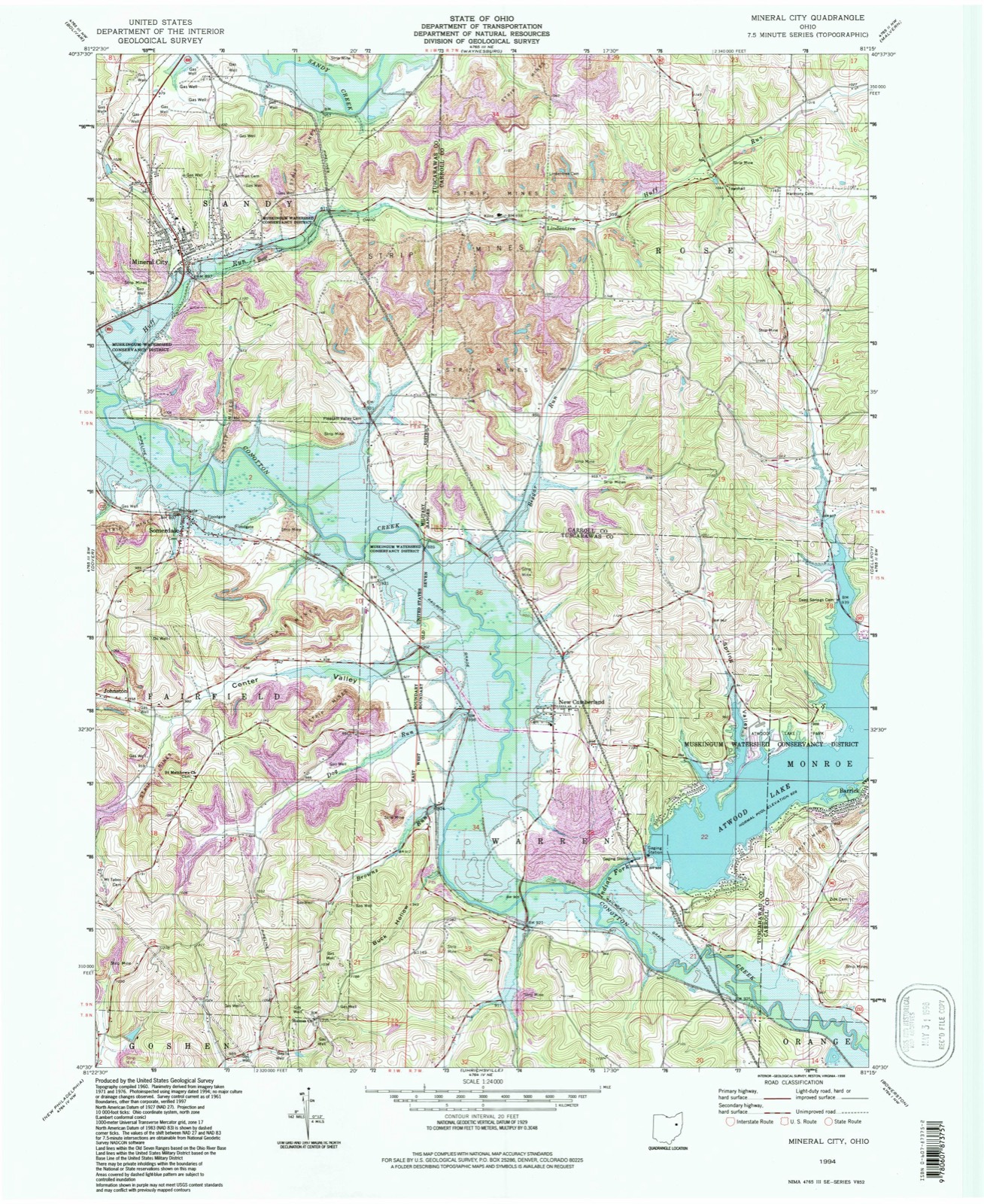
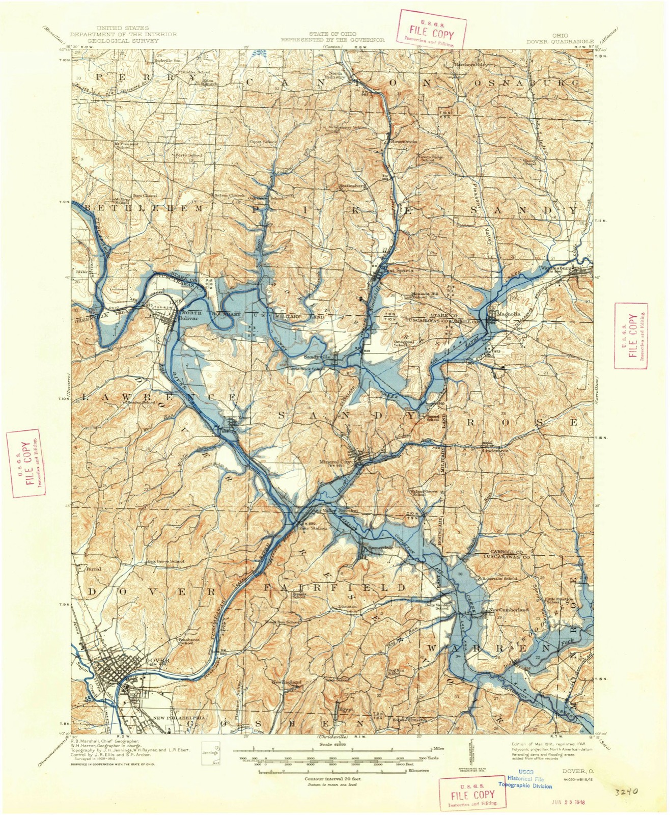
Topographic sheets covering this place
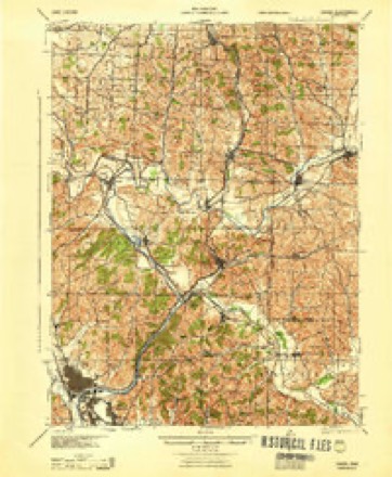
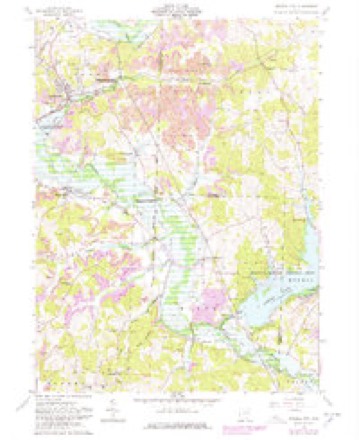
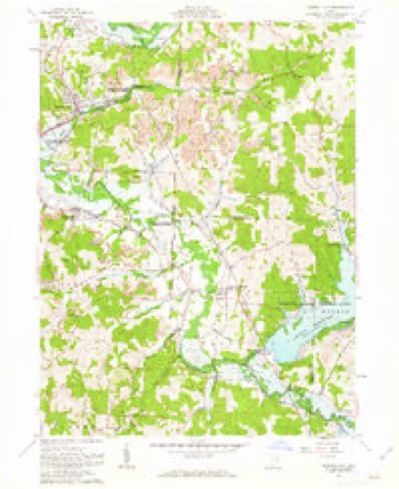
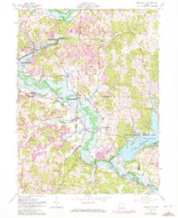
17 sheetsMatched by testing this settlement's coordinate against the published boundary of every sheet in the United States Geological Survey's historical collection. Each opens the scanned sheet at the Survey.
- 1912 USGS Dover quadrangle1:62500
- 1912 USGS Dover quadrangle1:62500
- 1944 USGS Dover quadrangle1:62500
- 1951 USGS Canton quadrangle1:250000
- 1953 USGS Canton quadrangle1:250000
- 1957 USGS Canton quadrangle1:250000
- 1957 USGS Canton quadrangle1:250000
- 1957 USGS Canton quadrangle1:250000
- 1961 USGS Mineral City quadrangle1:24000
- 1961 USGS Mineral City quadrangle1:24000
- 1961 USGS Mineral City quadrangle1:24000
- 1961 USGS Mineral City quadrangle1:24000
- 1962 USGS Canton quadrangle1:250000
- 1962 USGS Canton quadrangle1:250000
- 1986 USGS Canton quadrangle1:100000
- 1986 USGS Canton quadrangle1:100000
- 1994 USGS Mineral City quadrangle1:24000







In the county-history sources
5,387 words on this townshipThe History of Tuscarawas County, Ohio, published 1884 names this settlement in its chapter on Sandy Township. These are the passages that mention it, exactly as the scans read.
Co. , ship 100 tons per day. Farther up the road is the mine of the Akron Strawl>oard Company. The coal is of an excellent quality, and is found in veins about four feet thick. Iron ore is mined, but not so extensively as in former years. Fire-clay is found in considerable quantity, and much is consumed at the Mineral City Fire Brick Works.
Passage source: The History of Tuscarawas County, Ohio, published 1884.
Mineral City, one of the most thriving villages of Tuscarawas County, is located on Lot 15, in the southern part of the township, at the junction of the Tuscarawas branch of the Cleveland & Pittsburgh and the Valley roads. It owes its origin to the construction of the branch road, the proprietors founding the village by agreement with the railroad officials that a station would be established here. For sixteen years it was a small, insignificant village; then, about 1869, it began to develop, and has grown steadily since. In 1870, the population was 175; in 1880, 642, and is now nearly 900. Its growth has been due chiefly to the mining operations in this vicinity. The village contains at present five mercantile establishments, which keep a general line of goods, one grocery, one hardware store, one tin and stove store, two drug stores, five saloons, two meat markets, a bakery, a furniture store, two hotels, two blacksmith shops, a wagon shop, two shoe shops, a harness shop, a saw mill, operated by Holden & Morrison, a furniture factory, the fire brick works, an excellent school, four churches and three physicians - Drs. Miller, A. JL Davis and C. E. Brothers.
Passage source: The History of Tuscarawas County, Ohio, published 1884.
Mineral City was laid out by Alfred Davis and George Lechner in 1853. The original plat consisted of forty lots of various dimensions, located between HufFs Bun and the Cleveland & Pittsburgh Railroad. Broadway and High street are sixty-six feet wide, Railroad street forty-nine and one-half feet wide. The proprietors, in 1855, laid out, north of the railroad, an addition of fourteen lots, 41 to 54 inclusive. In 1857, Alfred Davis and Nathan McGrew made an addition of eleven lots, 55 to 65, located on Miners street, north of Davis & Lechman's Addition. In 1871, Alfred Davis added seventeen lots, 65 to 81, on Davis and High streets. Mr. Davis, in 1876, made a second addition including nineteen lots, 82 to 100, on High, Davis and First streets. In 1872, Ferdinand Brenkman made an addition, ten lots, east of High street; the lots are numbered from 82 to 91 inclusive. Black's Addition of twelve lots, 92 to 103, situated on Water street, was made in 1873. In 1874, Thomas McCreary laid out four lots on Broadway and Branch alley. John Dieringer, in 1881, made a northwest addition consisting of sixteen lots, 1 to 16, on Center and West streets. The years following, Wesley M. Tracy made an addition of eight lots, on and near Center street. C. E. Holden also made an addition in 1 882. It included three blocks of six lots each on Center and North streets.
Passage source: The History of Tuscarawas County, Ohio, published 1884.
Machine-read from a century-old scan, so expect the errors a machine makes: misspelled names, dropped words, stray characters.
Read the whole chapter on Sandy Township - it names this place 5 more 5 times.
Fires near this place
25 since 2003Regional context, not property-specific evidence. The federal wildfire occurrence database lists 25 fires within 5 miles of Mineral City between 2003 and 2020, burning about 58 acres in total. None started naturally. None was recorded as arson. Distance is straight-line from the map coordinates, so a fire counted here may appear on a neighbouring settlement's page as well.
| Reported cause | Fires |
|---|---|
| Debris and open burning | 15 |
| Missing data/not specified/undetermined | 7 |
| Power generation/transmission/distribution | 2 |
| Equipment and vehicle use | 1 |
The most recent of them, most recent first, with the day each was reported and the service that recorded it.
| Date | Cause | Size | Reported by | Name on the report |
|---|---|---|---|---|
| 26 July 2020 | Missing data/not specified/undetermined | 1.5 acres | Ohio Department of Natural Resources | 15797 |
| 26 June 2016 | Missing data/not specified/undetermined | 2.0 acres | Ohio Department of Natural Resources | 5065 |
| 2 May 2015 | Debris and open burning | 15 acres | Ohio Department of Natural Resources | 1105 |
| 10 May 2018 | Power generation/transmission/distribution | 1.0 acres | Ohio Department of Natural Resources | 12905 |
| 7 April 2004 | Debris and open burning | under an acre | Ohio Department of Natural Resources | not named |
| 6 April 2014 | Debris and open burning | 1.0 acres | Ohio Department of Natural Resources | not named |
| 26 April 2013 | Missing data/not specified/undetermined | under an acre | Ohio Department of Natural Resources | not named |
| 21 April 2018 | Missing data/not specified/undetermined | under an acre | Ohio Department of Natural Resources | 13148 |
Settlements close enough to share some of these fires:
Specimens collected near this place
12 of 294 shownRegional context, not property-specific evidence. Museums hold 294 specimens collected within 10 miles of Mineral City between 1851 and 1973: 197 Animalia, 84 Plantae, 13 Fungi. 12 distinct Species records are shown. Collected by A W Cusick, A. Cibula, A. Cobula and others. Each is a physical object with a catalogue number, and each entry opens the museum's record. This is what was collected and kept, not a survey of what lives here - nothing can be concluded from a species being absent.
| Image | Species | Year | Collected by | Where, as recorded |
|---|---|---|---|---|
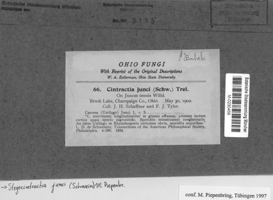 | Juncus tenuis Willd. | 1902 | Schaffner, J.H. | Brusk Lake, Champaign co., Ohio |
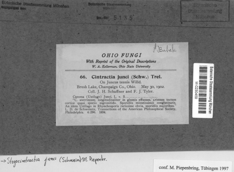 | Stegocintractia junci (Schwein.) M.Piepenbr. | 1902 | Schaffner, J.H. | Brusk Lake, Champaign co., Ohio |
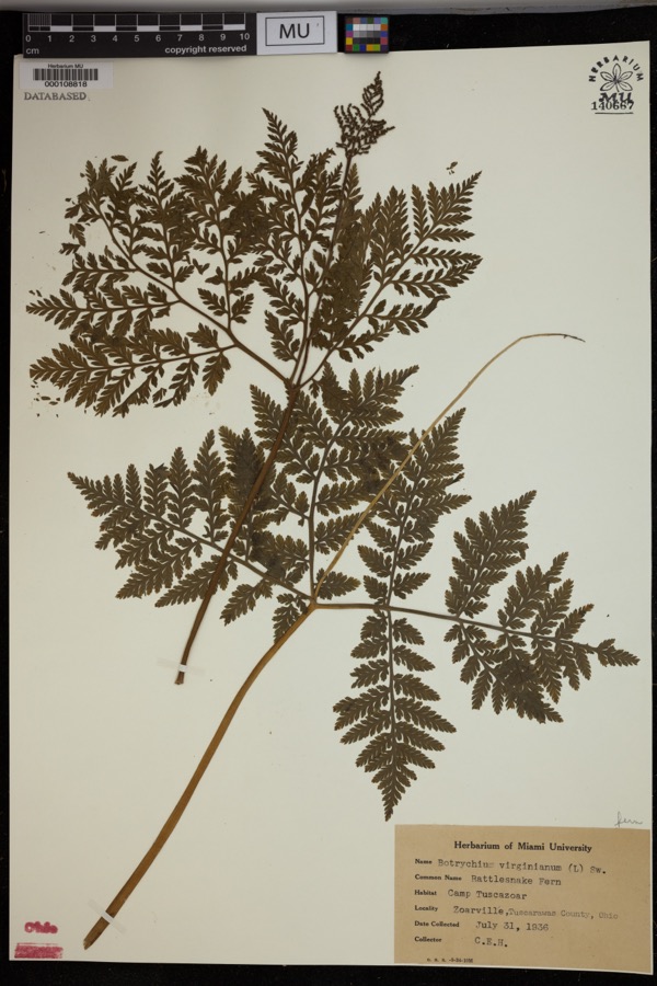 | Botrychium virginianum (L.) Sw. | 1936 | Heintzelmann, C.E. | Camp Tuscazoar, Zoarville. |
 | Amelanchier arborea (F.Michx.) Fernald | 1851 | Wolle, J. | Canoe Down [Canal Dover] |
 | Anemone canadensis L. | 1851 | Wolle, J. | Canoe Down [Canal Dover] |
 | Cardamine douglassii Britton | 1851 | Wolle, J. | Canae Docus [??] [Canal Dover] |
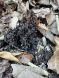 | Conopholis americana (L.) Wallr. | 1851 | Wolle, J. | Canoe Down [Canal Dover?] |
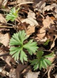 | Delphinium tricorne Michx. | 1851 | Wolle, J. | Canoe Down [Canal Dover] |
 | Erythronium americanum Ker Gawl. | 1851 | Wolle, J. | Canal Dover |
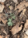 | Hydrophyllum appendiculatum Michx. | 1851 | Wolle, J. | Canoe Down [Canal Dover] |
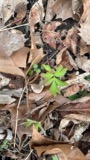 | Hydrophyllum virginianum L. | 1851 | Wolle, J. | Canoe Down [Canal Dover] |
 | Silene virginica L. | 1851 | Wolle, J. | Canal Downs [Canal Dover] |
All 294 specimens within 10 miles, at the Global Biodiversity Information Facility.
Mines and quarries near this place
10 of 14 shownRegional context, not property-specific evidence. The federal mineral resources record lists 14 workings within 5 miles of Mineral City: 8 producers, 4 past producers, 2 plants. 10 still produce. What was taken out: Clay, Sand and Gravel, Construction, Coal, Fire Clay (Refractory). Distance is straight-line from the map coordinates, so a quarry counted here may appear on a neighbouring settlement's page as well.
| Where | Site | Commodity | Status | Recorded |
|---|---|---|---|---|
| Corundite Plant | Fire Clay (Refractory) | Past Producer | ||
| Edgar Spring Pit | Clay, Coal | Producer | ||
| Fairfield Mines & Mill | Fire Clay (Refractory) | Plant | ||
| Fairfield Pit | Clay, Coal | Producer | ||
| Zoar Pit | Clay, Coal | Producer | ||
| Zoar Pit | Clay, Coal | Producer | ||
| Oster Sand & Gravel Bolivar Pit | Sand and Gravel, Construction | Producer | ||
| Sandyville Pit | Sand and Gravel, Construction | Producer | ||
| Zoar Pit | Sand and Gravel, Construction | Past Producer | ||
| Romany Plant & Pits | Clay | Plant |
Storms near this place
16 since 1994Regional context, not property-specific evidence. The National Weather Service names Mineral City in 16 storm reports between 1994 and 2025: 11 thunderstorm wind, 3 flash flood, 2 hail. No death or injury is recorded in these reports. Each account below is quoted exactly as the forecast office filed it, from the NOAA Storm Events Database, and each date opens the federal record of that event.
| When | Event | Place named | Harm | What the report says |
|---|---|---|---|---|
| June 1994 | Thunderstorm Wind | Mineral City | $50,000 | Trees were downed. Part of the post office roof was blown off. |
| July 2012 | Thunderstorm Wind | Mineral City | $40,000 | Law enforcement reported trees down. |
| April 2020 | Thunderstorm Wind | Mineral City | $10,000 | Several trees were reported to be blown down in the Mineral City area. |
| April 2020 | Thunderstorm Wind | Mineral City | $5,000 | Power lines were reported to be blown down near Mineral City. Time of occurrence was estimated based on radar data. |
| August 2014 | Flash Flood | Mineral City | $5,000 | Law enforcement reported State Route 800 closed due to flash flooding. |
| July 2011 | Thunderstorm Wind | Mineral City | $5,000 | The public reports trees down in Mineral City. |
| October 1999 | Thunderstorm Wind | Mineral City | $3,000 | Thunderstorm winds downed several trees and power lines. |
| May 1998 | Thunderstorm Wind | Mineral City | $3,000 | Large trees were downed by 70 mph thunderstorm gusts. |
| April 2020 | Thunderstorm Wind | Mineral City | $2,000 | Several trees were reported to be blown down in the Mineral City area. |
| April 2013 | Thunderstorm Wind | Mineral City | $1,000 | Law enforcement reported trees down on Somerdale and New Cumberland roads. |
| June 1997 | Flash Flood | Mineral City | $1,000 | SR 800, 0.5 miles south of Dover Dam, had a mudslide that covered the road. A tree also fell in the slide. Flooding was also reported along SR 800 near Mineral City. SR 39 between Dover and Sugarcreek was also flooded and impassable. |
| March 2025 | Thunderstorm Wind | Mineral City | - | Downed trees and power line were reported in the area of Mineral City. |
| May 2019 | Hail | Mineral City | - | A trained spotter reported 1 inch diameter hail. |
| June 2007 | Thunderstorm Wind | Mineral City | - | EMA reported trees down near Sully. |
| May 2004 | Flash Flood | Mineral City | - | At 530 PM EDT, State Rte 800 flooded near Mineral City. By 540 PM, State Rte 212 flooded northeast of New Philadelphia. Flooding continued beyond 7 PM EDT. |
| August 2004 | Hail | Mineral City | - | no account filed |
Nearest settlements
The eight closest, with where each one stands in the county. Distances are straight-line, computed from the Geographic Names Information System coordinates.
| Map | Place | Distance | Sheets |
|---|---|---|---|
| Dutchtown | 1.1 miles | 17 | |
| Valley Junction | 1.7 miles | 16 | |
| Zoarville | 1.9 miles | 16 | |
| Somerdale | 2.4 miles | 17 | |
| Sandyville | 2.8 miles | 17 | |
| Sandy Valley Estates | 3.0 miles | 17 | |
| Zoar | 3.4 miles | 16 | |
| Johnston | 3.9 miles | 17 |
Elsewhere
Matched on this settlement's Geographic Names Information System number rather than its name, so it cannot be a different place of the same name in another state.
| Wikipedia article on Mineral City | An encyclopaedic summary. Its text is share-alike, so it is linked here rather than copied. |
| Wikidata item Q1850205 | The structured record the population and elevation above come from. Public domain (CC0). |
Provenance
This settlement is recorded in the Geographic Names Information System as feature 1057850. The sheet list is computed by point-in-boundary test against the United States Geological Survey's historical topographic inventory. Both are works of the United States government and carry no copyright under 17 U.S.C. 105.
Wildfire. Short, Karen C. 2022. Spatial wildfire occurrence data for the United States, 1992-2020 [FPA_FOD_20221014]. 6th Edition. Fort Collins, CO: Forest Service Research Data Archive. https://doi.org/10.2737/RDS-2013-0009.6 Collected with United States Government funding and usable without additional permissions or fees.
Specimens. Global Biodiversity Information Facility (GBIF), https://www.gbif.org/. Only records licensed CC0 or CC BY are used. Records licensed CC BY-NC are excluded because this site carries advertising. Images are checked individually and any whose licence is non-commercial, no-derivatives or unreadable is refused.
Mines and quarries. USGS Mineral Resources Data System (MRDS) https://mrdata.usgs.gov/mrds/ A work of the United States government, no copyright under 17 U.S.C. 105.
Storms. NOAA National Centers for Environmental Information, Storm Events Database https://www.ncei.noaa.gov/stormevents/ A work of the United States government, no copyright under 17 U.S.C. 105. Narratives are quoted verbatim from the National Weather Service report and are not edited or summarised.