 Block
Block
Lawrenceville, Ohio
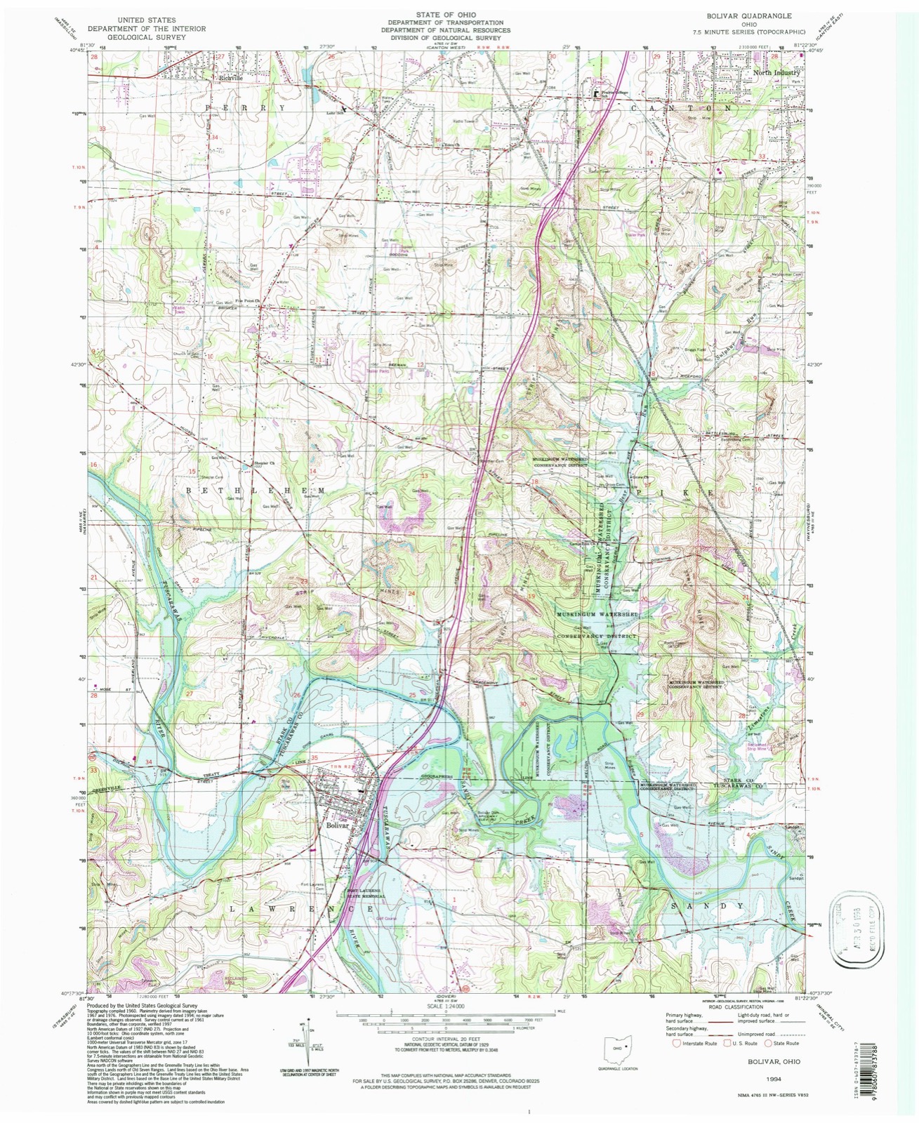
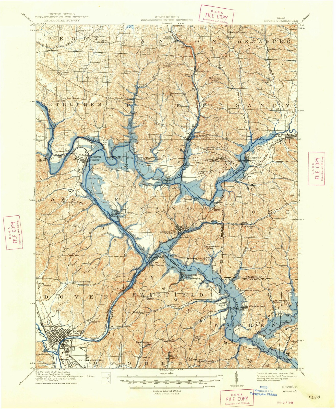
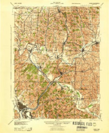
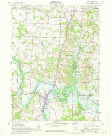
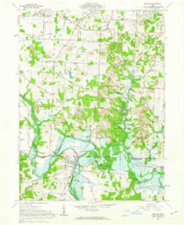
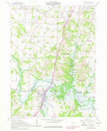
16 topographic sheets cover this place, the earliest surveyed in 1912 and the latest in 1994. It stands in Lawrence Township. It lies in ZIP code area 44612. The Survey maps it on the Bolivar quadrangle. The federal gazetteer marks this settlement historical: it is no longer a populated place, though the surveys that recorded it still are.
Then and now
1912 to 1994The same ground, surveyed 82 years apart. Drag the handle to wipe between them. Both sheets are United States Geological Survey originals; neither has been altered.
Topographic sheets covering this place
16 sheetsMatched by testing this settlement's coordinate against the published boundary of every sheet in the United States Geological Survey's historical collection. Each opens the scanned sheet at the Survey.
- 1912 USGS Dover quadrangle1:62500
- 1912 USGS Dover quadrangle1:62500
- 1944 USGS Dover quadrangle1:62500
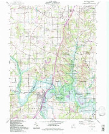
- 1951 USGS Bolivar quadrangle1:24000
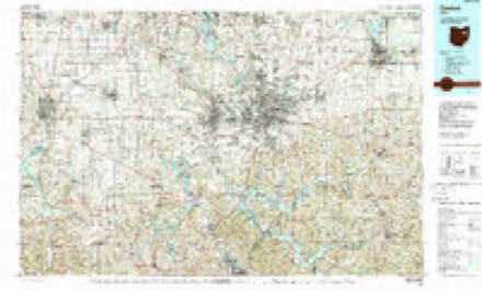
- 1951 USGS Canton quadrangle1:250000
- 1953 USGS Canton quadrangle1:250000
- 1957 USGS Canton quadrangle1:250000
- 1957 USGS Canton quadrangle1:250000
- 1957 USGS Canton quadrangle1:250000
- 1961 USGS Bolivar quadrangle1:24000
- 1961 USGS Bolivar quadrangle1:24000
- 1962 USGS Canton quadrangle1:250000
- 1962 USGS Canton quadrangle1:250000
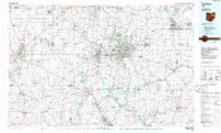
- 1986 USGS Canton quadrangle1:100000
- 1986 USGS Canton quadrangle1:100000
- 1994 USGS Bolivar quadrangle1:24000







In the county-history sources
6,825 words on this townshipThe History of Tuscarawas County, Ohio, published 1884 names this settlement in its chapter on Lawrence Township. These are the passages that mention it, exactly as the scans read.
Lawrence was one of the four original townships established in 1808. It then embraced all the land which now forms Wayne, Franklin, Lawrence (except the small tract since annexed from Stark County) and Sandy Townships, in addition to as much of Dover, Fairfield and Warren as lies in the northern half of Range 9. The first election was held at the cabin of Gideon Jennings, in what is now Fairfield Township. The organization of succeeding townships reduced its territory, and it appears from the records that the balance of the original township of Lawrence, after other townships were organized, was converted into Lawrenceville. The incorporation of Lawrenceville Township was recorded May 18, 1817. As constituted at that date, it consisted of the present Lawrence Township and a tract two and a half miles square, from the northeast corner of Dover. Its bounds were as follows: Beginning at the northeast corner of Township 10, Range 2; thence south to the middle of Township 9, Range 2; thence west, to the center of Range 9; thence north to Township 10; thence west to Range 8; thence north to the northwest corner of Township 10; thence east along the line of Township 10, to the place of beginning. The electors were notified to meet according to law in the town of Lawrenceville and elect the proper township officers. The original name, Lawrence, was restored, and it was reduced in size August 7, 1820, by the attachment of its southeast portion to Dover Township. Small portions were since annexed from Stark County, and from Sandy Township.
Passage source: The History of Tuscarawas County, Ohio, published 1884.
The first school on the west side of the river was kept in a log cabin on Lot 2, then owned by John Kline, now hf John Bender. The house stood near a spring, in the southwest corner of the place. William Knappenberger was the teacher, and his term was taught about 1817. Messrs. Brown, David Kilgore, Robinson, Fashbaugh and Sibert succeeded him. About this time, Mr. Boyer opened a school at his cabin in Lawrenceville, on the east side of the river, and near its bank, about thirty rods above the bridge. The one room in the house served as schoolroom, kitchen and bedroom, and one use was not permitted to interfere with another. Many of the scholars were full-grown men and women. Here the Brantinghara children, the Whites, Mackins, Taylors, Kellers, Hartlines, Housemans,^ Yants, John Pinicks, James Tracy, Peter Swank and others received the rudiments of an education. A few primers, Webster's Spelling Book, Dil worth's Reader and the Bible, says David Yant, were the. principal text books. Among the sports in which the boys engaged during play-time was the sea fight, the idea of which was obtained from Perry's victory on Lake Erie. They had two large canoes, which would grapple, and the boys in each try to obtain possession of their opponents and their oars. When one side became too weak to continue the contest, it would capitulate and the captured boat and prisoners be rowed triumphantly to shore.
Passage source: The History of Tuscarawas County, Ohio, published 1884.
Lawrenceville was the name of one of the earliest backwoods towns. It was laid out on the east side of the Tuscarawas, opposite present Bolivar, by Abraham Mosser in 1805, when the people in the vicinity were obliged to go to Zanesville to pay their taxes. It was not then known how this vast country would be divided into counties, and Lawrenceville indulged in the fond hope of becoming a county seat. The plat was spacious, including 176 lots, from which donations were made for court house and jail, market -houses and English and German Presbyterian, German Lutheran, Protestant Episcopal and Moravian Churches. The location was a beautiful one, and at that time there was a brisk trade on the river in canoes and small boats. The settlers speculated in a small way, by buying town lots, but the village never prospered. It contained at most four or five houses. A grocery was kept just north of the plat, and one of the few residents of the village was a shoe-maker, Mr. Mock. Some of the earliest settlers were buried on LebrJd's Hill in the vicinity, but the site of their graves is now obliterated. The plat of Lawrenceville has been vacated for many years, and the site is now under cultivation.
Passage source: The History of Tuscarawas County, Ohio, published 1884.
Machine-read from a century-old scan, so expect the errors a machine makes: misspelled names, dropped words, stray characters.
Fires near this place
13 since 2004Regional context, not property-specific evidence. The federal wildfire occurrence database lists 13 fires within 5 miles of Lawrenceville (historical) between 2004 and 2020, burning about 55 acres in total. None started naturally. None was recorded as arson. Distance is straight-line from the map coordinates, so a fire counted here may appear on a neighbouring settlement's page as well.
| Reported cause | Fires |
|---|---|
| Debris and open burning | 6 |
| Missing data/not specified/undetermined | 5 |
| Power generation/transmission/distribution | 1 |
| Equipment and vehicle use | 1 |
The most recent of them, most recent first, with the day each was reported and the service that recorded it.
| Date | Cause | Size | Reported by | Name on the report |
|---|---|---|---|---|
| 26 July 2020 | Missing data/not specified/undetermined | 1.5 acres | Ohio Department of Natural Resources | 15797 |
| 2 May 2015 | Debris and open burning | 15 acres | Ohio Department of Natural Resources | 1105 |
| 21 April 2018 | Missing data/not specified/undetermined | under an acre | Ohio Department of Natural Resources | 13148 |
| 18 April 2014 | Debris and open burning | 2.5 acres | Ohio Department of Natural Resources | not named |
| 11 April 2015 | Power generation/transmission/distribution | under an acre | Ohio Department of Natural Resources | 802 |
| 1 April 2015 | Equipment and vehicle use | 3.0 acres | Ohio Department of Natural Resources | 724 |
| 31 March 2005 | Debris and open burning | 3.0 acres | Ohio Department of Natural Resources | BRASS ROAD |
| 29 March 2015 | Missing data/not specified/undetermined | 10 acres | Ohio Department of Natural Resources | 805 |
Settlements close enough to share some of these fires:
Specimens collected near this place
12 of 281 shownRegional context, not property-specific evidence. Museums hold 281 specimens collected within 10 miles of Lawrenceville (historical) between 1851 and 1973: 164 Animalia, 104 Plantae, 12 Fungi, 1 Chromista. 12 distinct Species records are shown. Collected by A W Cusick, A. Cibula, A. Cobula and others. Each is a physical object with a catalogue number, and each entry opens the museum's record. This is what was collected and kept, not a survey of what lives here - nothing can be concluded from a species being absent.
| Image | Species | Year | Collected by | Where, as recorded |
|---|---|---|---|---|
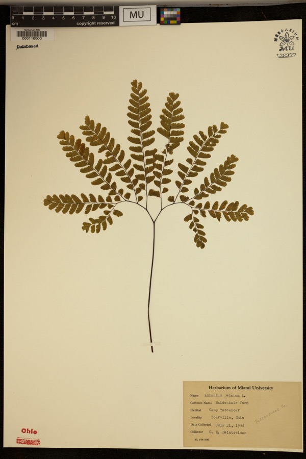 | Adiantum pedatum L. | 1936 | Heintzelmann, C.E. | Camp Tuscazoar. Zoarville. |
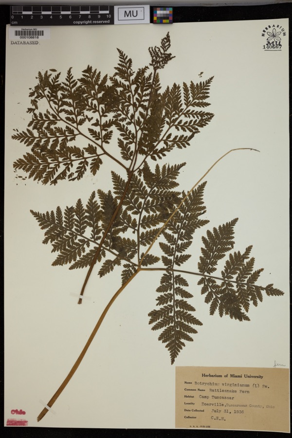 | Botrychium virginianum (L.) Sw. | 1936 | Heintzelmann, C.E. | Camp Tuscazoar, Zoarville. |
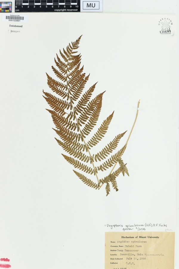 | Dryopteris spinulosa (O.F.Müll.) Watt | 1936 | Heintzelmann, C.E. | Zoarville, Ohio. Camp Tuscazoar |
 | Amelanchier arborea (F.Michx.) Fernald | 1851 | Wolle, J. | Canoe Down [Canal Dover] |
 | Anemone canadensis L. | 1851 | Wolle, J. | Canoe Down [Canal Dover] |
 | Cardamine douglassii Britton | 1851 | Wolle, J. | Canae Docus [??] [Canal Dover] |
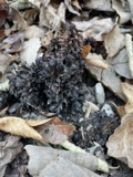 | Conopholis americana (L.) Wallr. | 1851 | Wolle, J. | Canoe Down [Canal Dover?] |
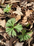 | Delphinium tricorne Michx. | 1851 | Wolle, J. | Canoe Down [Canal Dover] |
 | Erythronium americanum Ker Gawl. | 1851 | Wolle, J. | Canal Dover |
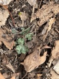 | Hydrophyllum appendiculatum Michx. | 1851 | Wolle, J. | Canoe Down [Canal Dover] |
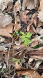 | Hydrophyllum virginianum L. | 1851 | Wolle, J. | Canoe Down [Canal Dover] |
 | Silene virginica L. | 1851 | Wolle, J. | Canal Downs [Canal Dover] |
All 281 specimens within 10 miles, at the Global Biodiversity Information Facility.
Mines and quarries near this place
10 of 13 shownRegional context, not property-specific evidence. The federal mineral resources record lists 13 workings within 5 miles of Lawrenceville (historical): 10 producers, 2 past producers, 1 plant. 11 still produce. What was taken out: Clay, Coal, Sand and Gravel, Construction, Clay, Coal. Distance is straight-line from the map coordinates, so a quarry counted here may appear on a neighbouring settlement's page as well.
| Where | Site | Commodity | Status | Recorded |
|---|---|---|---|---|
| Black Hawk Mine | Clay, Stone, Crushed/Broken | Producer | ||
| Corundite Plant | Fire Clay (Refractory) | Past Producer | ||
| Zoar Pit | Clay, Coal | Producer | ||
| Zoar Pit | Clay, Coal | Producer | ||
| Belden Pit | Clay, Coal | Producer | ||
| Edgar Spring Pit | Clay, Coal | Producer | ||
| Fairfield Pit | Clay, Coal | Producer | ||
| Oster Sand & Gravel Bolivar Pit | Sand and Gravel, Construction | Producer | ||
| Sandyville Pit | Sand and Gravel, Construction | Producer | ||
| Zoar Pit | Sand and Gravel, Construction | Past Producer |
Nearest settlements
The eight closest, with where each one stands in the county. Distances are straight-line, computed from the Geographic Names Information System coordinates.
| Map | Place | Distance | Sheets |
|---|---|---|---|
| Bolivar | 0.4 miles | 16 | |
| Wilkshire Hills | 1.8 miles | 16 | |
| Zoar | 2.7 miles | 16 | |
| Sandyville | 3.9 miles | 17 | |
| Dutchtown | 4.7 miles | 17 | |
| Sandy Valley Estates | 4.9 miles | 17 | |
| Zoarville | 5.4 miles | 16 | |
| Valley Junction | 5.5 miles | 16 |
Provenance
This settlement is recorded in the Geographic Names Information System as feature 1067242. The sheet list is computed by point-in-boundary test against the United States Geological Survey's historical topographic inventory. Both are works of the United States government and carry no copyright under 17 U.S.C. 105.
Wildfire. Short, Karen C. 2022. Spatial wildfire occurrence data for the United States, 1992-2020 [FPA_FOD_20221014]. 6th Edition. Fort Collins, CO: Forest Service Research Data Archive. https://doi.org/10.2737/RDS-2013-0009.6 Collected with United States Government funding and usable without additional permissions or fees.
Specimens. Global Biodiversity Information Facility (GBIF), https://www.gbif.org/. Only records licensed CC0 or CC BY are used. Records licensed CC BY-NC are excluded because this site carries advertising. Images are checked individually and any whose licence is non-commercial, no-derivatives or unreadable is refused.
Mines and quarries. USGS Mineral Resources Data System (MRDS) https://mrdata.usgs.gov/mrds/ A work of the United States government, no copyright under 17 U.S.C. 105.