 Block
Block
Zoar, Ohio
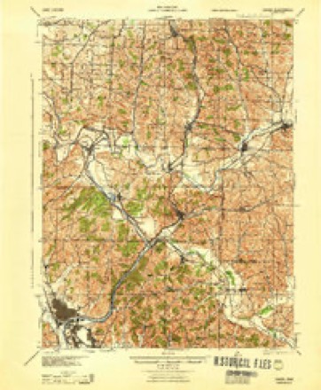
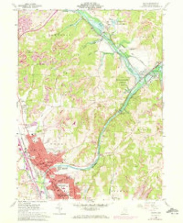
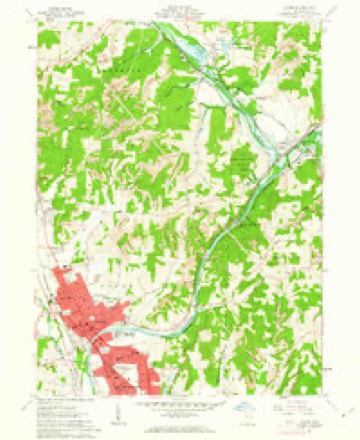
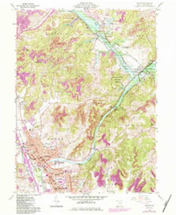
16 topographic sheets cover this place, the earliest surveyed in 1912 and the latest in 1994. It stands in Lawrence Township. It lies in ZIP code area 44697. It stands on Middle Run. The Survey maps it on the Dover quadrangle. 172 people lived here at the 2020 count.
Population over time
2 figuresZoar grew from 169 to 172 between 2010 and 2020. These are the recorded population figures Wikidata holds for this place, reached through the Geographic Names Information System number this page is keyed on rather than by name, so they belong to this place and not to another of the same name. Most are census counts, but not all are: an early figure may be a founding or settlement estimate. The change column is computed, and is left blank where more than 20 years separate a figure from the one before it, because a gap that long is not a change between two counts.
| Year | People | Change |
|---|---|---|
| 2010 | 169 | |
| 2020 | 172 | +3 (+2%) |
Then and now
1912 to 1994The same ground, surveyed 82 years apart. Drag the handle to wipe between them. Both sheets are United States Geological Survey originals; neither has been altered.
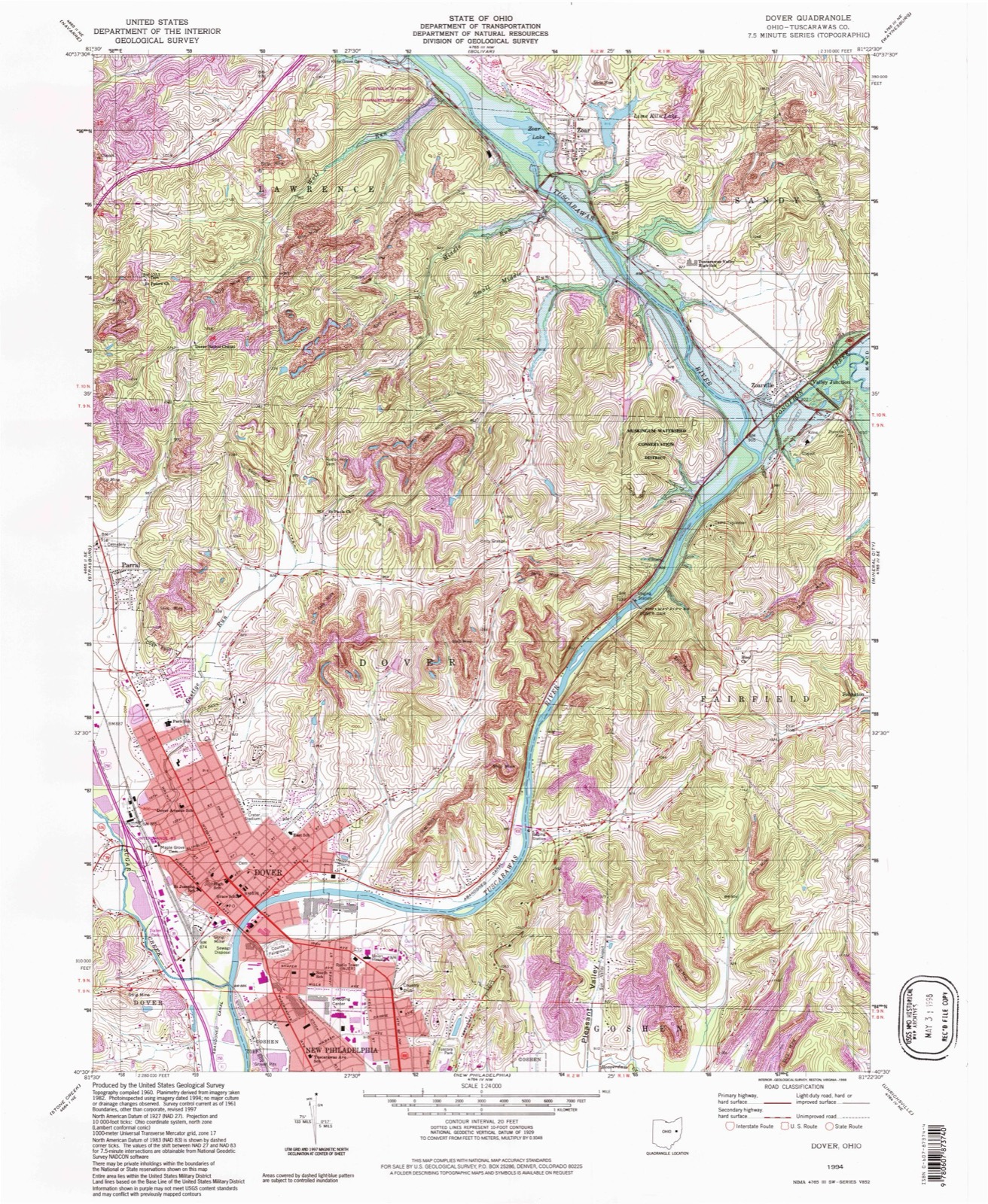
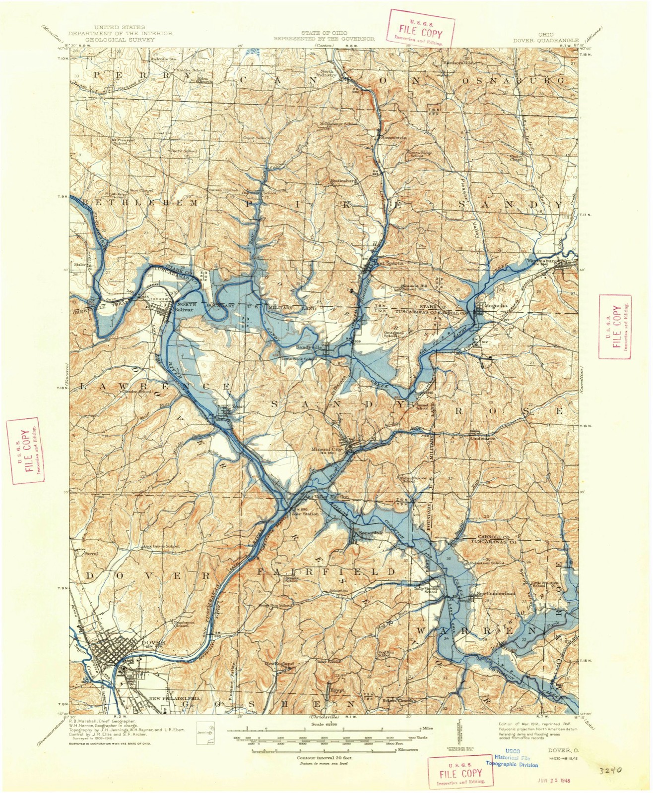
Topographic sheets covering this place
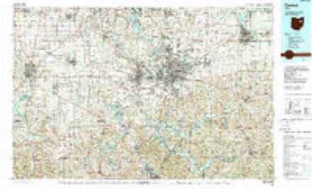
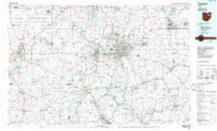
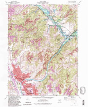
16 sheetsMatched by testing this settlement's coordinate against the published boundary of every sheet in the United States Geological Survey's historical collection. Each opens the scanned sheet at the Survey.
- 1912 USGS Dover quadrangle1:62500
- 1912 USGS Dover quadrangle1:62500
- 1944 USGS Dover quadrangle1:62500
- 1951 USGS Canton quadrangle1:250000
- 1953 USGS Canton quadrangle1:250000
- 1957 USGS Canton quadrangle1:250000
- 1957 USGS Canton quadrangle1:250000
- 1957 USGS Canton quadrangle1:250000
- 1961 USGS Dover quadrangle1:24000
- 1961 USGS Dover quadrangle1:24000
- 1961 USGS Dover quadrangle1:24000
- 1962 USGS Canton quadrangle1:250000
- 1962 USGS Canton quadrangle1:250000
- 1986 USGS Canton quadrangle1:100000
- 1986 USGS Canton quadrangle1:100000
- 1994 USGS Dover quadrangle1:24000







In the county-history sources
6,825 words on this townshipThe History of Tuscarawas County, Ohio, published 1884 names this settlement in its chapter on Lawrence Township. These are the passages that mention it, exactly as the scans read.
The Tuscarawas River enters the township from- Stark County, and soon after takes a northern bend of several miles, then returning it pursues a general southeasterly direction till it leaves the township. A southern dip of Sandy Creek brings it for a short distance into the township. Besides these, the streams of Lawrence are small and unimportant tributaries to the river. The Ohio Canal follows the western banks of the river, and the old Sandy A Beaver Canal extends from Bolivar eastward. The Wheeling A Lake Erie Railroad crosses through the valley of the Tuscarawas. The bottoms, plains and hillsides along the river, says Mr. David lant. "were covered in early times with weeds, nettles, wild rye and grass as high as a man's head. This mass of vegetation was set on fire late in the fall by Indians and early hunters, for the purpose of encircling game, enveloping the surface in a sea of flame and effectual y killing every twig of timber. No timber was thus permitted to grow upon the plains, until after these annual burnings ceased." The land away from the valleys is much more rolling than in some portions of the county, and is susceptible of a high cultivation. Farms in the township are valued at from §50 to §150 per acre. Immense quantities of shell ore have been taken from the hillsides in past years. It has been shipped to Granville, Akron, Massillon. Zoar and in small quantities to Dover. Commencing about 1835, the mining of iron ore has been an important business, but the best banks have been exhausted, and little is now produced. Some coal is shipped, but not to any great extent.
Passage source: The History of Tuscarawas County, Ohio, published 1884.
Lawrence Township is the home of the Zoar society, a communistic organization, the history of which is remarkable and peculiar. In Germany, at the beginning of the present century, a lowly, simple-minded people dwelt, who, in order to live a life of religious simplicity, free from forms and ceremonies, had withdrawn from the Lutheran and the Catholic faiths, mostly from the former, and were known as Separatists. They were persecuted under KiDg Frederick. For the sake of their religion they suffered imprisonment, confiscation of property and separation from their children. When King William ascended the throne their grievances were lightened but not removed, and many resolved to seek homes in a free land.* Too destitute to pay their passage across the ocean, they enlisted the sympathies of some wealthy London Quakers, whose religion, it is said, closely resembled *heir own, and means were thus obtained to carry them beyond the reach of oppression. In the spring of 1817, about three hundred and fifty embarked, most of whom were from Wurtemberg, the rest from Bavaria and Baden. They arrived at Philadelphia, sick and sore, in August, 1817, after a tedious voyage of four months. Poor and friendless, they were welcomed by the Quakers at the City of Brotherly Love. Many were bedridden by a scrofulous complaint, and for these and the old and infirm the Quakers provided a hospital. The few emigrants who possessed means were received as guests, and places were found for many as domestics. Joseph M. Bimeler was the master-spirit of the persecuted religionists. For ten years he had been a teacher among them in Germany, and while on their passage across the ocean he had completely won their confidence and esteem. It was their desire to form a colony in the Western country, and Mr. Bimeler effected a purchase from Godfrey Haga of 5,500 acres, 4,000 of which is in what is now Lawrence and 1,500 in Sandy Townships. It was bought on credit for $15,000, payable as follows: $5,000 in
Passage source: The History of Tuscarawas County, Ohio, published 1884.
The early efforts of the society were not confined to tilling the soil. A grist mill was built in 1821, and rebuilt in 1848; a second mill was erected in 1837. A woolen factory was established in 1830, and for many years both woolen and grist mills did an extensive business, much greater than now. About 1831, the society purchased from Christmas & Hazlett an iron furnace, located in Fairfield Township. In 1834, a second one was built, about midway between Zoar and Bolivar, which was operated until about 1852. They proved a failure, financially, but did much toward developing the country in the vicinity. Charcoal was used in place of coal, and the demand for ore and charcoal enabled many settlers in the vicinity to obtain a start in life by supplying these materials. Indeed, at one time about one hundred families were dependent upon the furnaces for a living, and they were operated for a time at an actual loss, that the neighboring settlers might not suffer the inconveniences that would result from an abandonment of the furnaces.
Passage source: The History of Tuscarawas County, Ohio, published 1884.
Machine-read from a century-old scan, so expect the errors a machine makes: misspelled names, dropped words, stray characters.
Read the whole chapter on Lawrence Township - it names this place 3 more 3 times.
Photographs
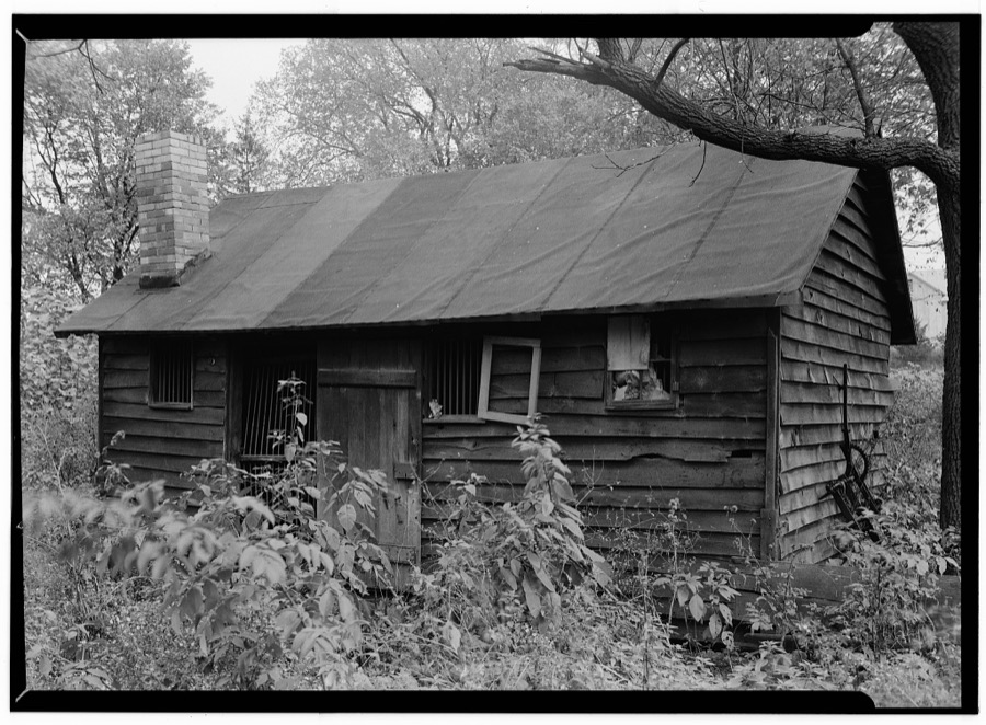
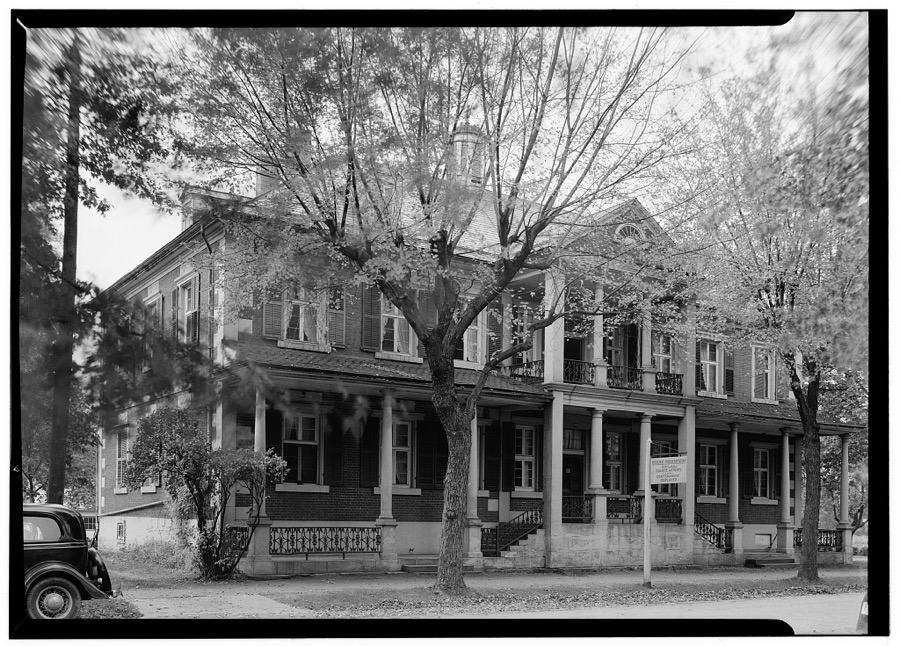
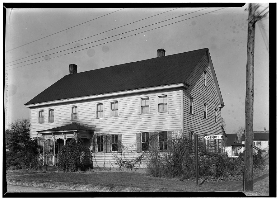
8 photographs, 1905Taken for the Office of War Information and the Farm Security Administration, who photographed the country between 1935 and 1944. Works of United States government photographers, with no known restriction on use. Each opens its catalogue record.
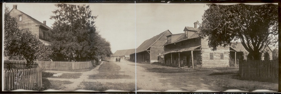
Johnston, R. W., copyright claimant, 1905. Library of Congress
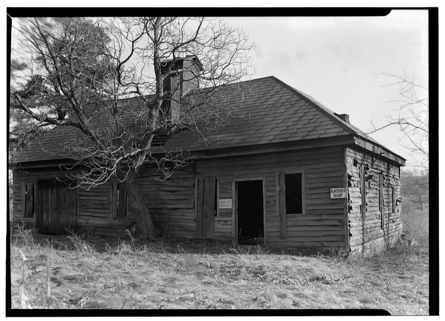
Unattributed, . Library of Congress
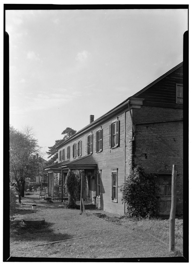
Unattributed, . Library of Congress
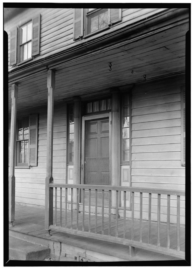
Unattributed, . Library of Congress
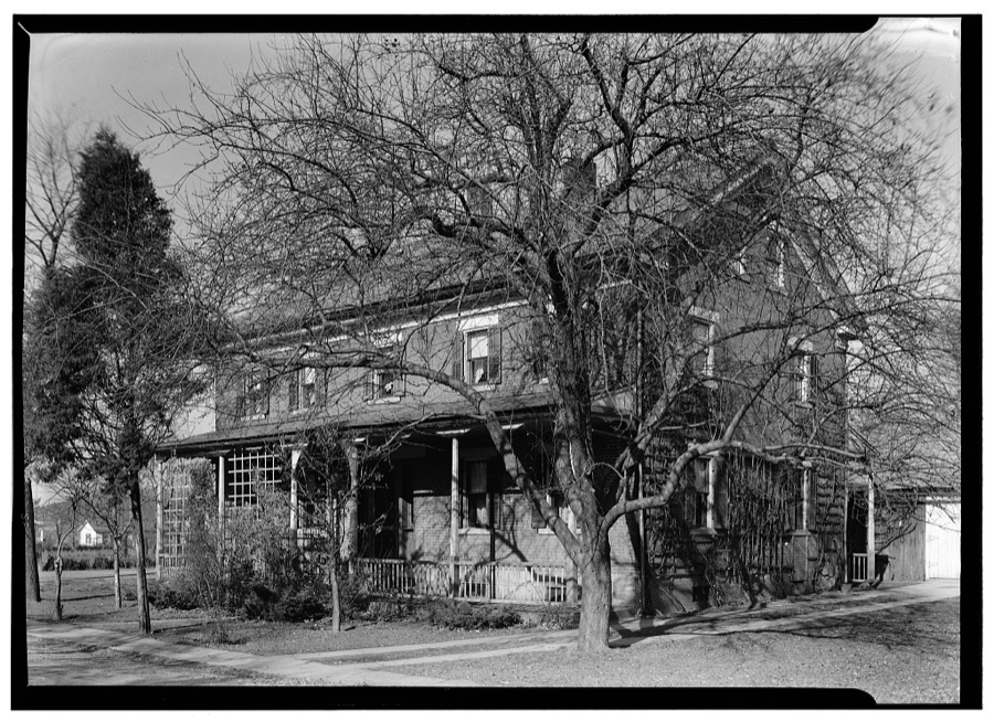
Unattributed, . Library of Congress
Unattributed, . Library of Congress
Unattributed, . Library of Congress
Unattributed, . Library of Congress
Fires near this place
22 since 2004Regional context, not property-specific evidence. The federal wildfire occurrence database lists 22 fires within 5 miles of Zoar between 2004 and 2020, burning about 70 acres in total. None started naturally. None was recorded as arson. Distance is straight-line from the map coordinates, so a fire counted here may appear on a neighbouring settlement's page as well.
| Reported cause | Fires |
|---|---|
| Debris and open burning | 9 |
| Missing data/not specified/undetermined | 6 |
| Power generation/transmission/distribution | 3 |
| Equipment and vehicle use | 2 |
| Misuse of fire by a minor | 1 |
| Recreation and ceremony | 1 |
The most recent of them, most recent first, with the day each was reported and the service that recorded it.
| Date | Cause | Size | Reported by | Name on the report |
|---|---|---|---|---|
| 26 July 2020 | Missing data/not specified/undetermined | 1.5 acres | Ohio Department of Natural Resources | 15797 |
| 12 June 2016 | Power generation/transmission/distribution | under an acre | Ohio Department of Natural Resources | 5025 |
| 5 May 2012 | Equipment and vehicle use | under an acre | Ohio Department of Natural Resources | not named |
| 2 May 2015 | Debris and open burning | 15 acres | Ohio Department of Natural Resources | 1105 |
| 7 April 2004 | Debris and open burning | under an acre | Ohio Department of Natural Resources | not named |
| 21 April 2018 | Missing data/not specified/undetermined | under an acre | Ohio Department of Natural Resources | 13148 |
| 18 April 2014 | Debris and open burning | 2.5 acres | Ohio Department of Natural Resources | not named |
| 16 April 2005 | Misuse of fire by a minor | under an acre | Ohio Department of Natural Resources | not named |
Settlements close enough to share some of these fires:
Specimens collected near this place
12 of 378 shownRegional context, not property-specific evidence. Museums hold 378 specimens collected within 10 miles of Zoar between 1851 and 1973: 221 Animalia, 143 Plantae, 13 Fungi, 1 Chromista. 12 distinct Species records are shown. Collected by A W Cusick, A. Cibula, A. Cobula and others. Each is a physical object with a catalogue number, and each entry opens the museum's record. This is what was collected and kept, not a survey of what lives here - nothing can be concluded from a species being absent.
| Image | Species | Year | Collected by | Where, as recorded |
|---|---|---|---|---|
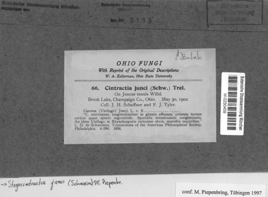 | Juncus tenuis Willd. | 1902 | Schaffner, J.H. | Brusk Lake, Champaign co., Ohio |
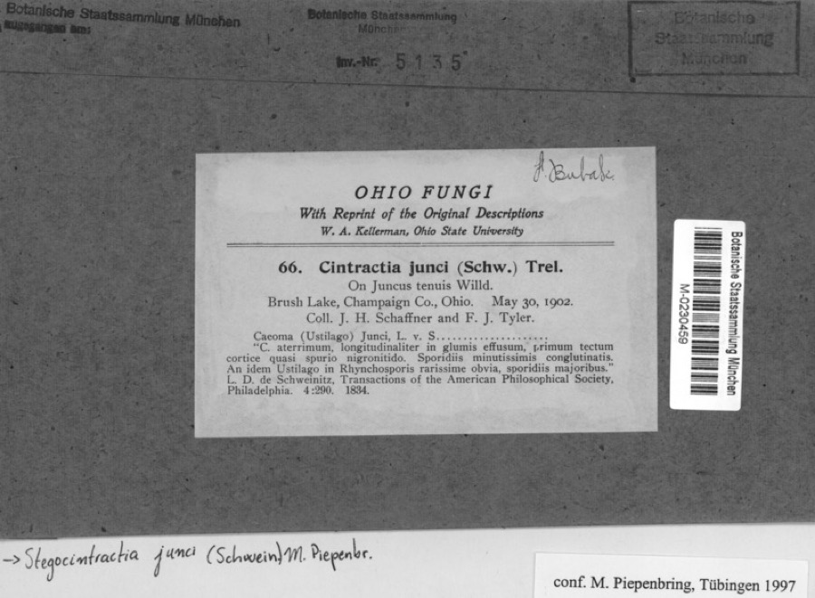 | Stegocintractia junci (Schwein.) M.Piepenbr. | 1902 | Schaffner, J.H. | Brusk Lake, Champaign co., Ohio |
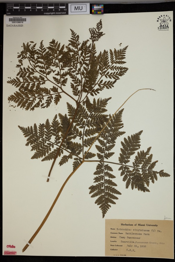 | Botrychium virginianum (L.) Sw. | 1936 | Heintzelmann, C.E. | Camp Tuscazoar, Zoarville. |
 | Amelanchier arborea (F.Michx.) Fernald | 1851 | Wolle, J. | Canoe Down [Canal Dover] |
 | Anemone canadensis L. | 1851 | Wolle, J. | Canoe Down [Canal Dover] |
 | Cardamine douglassii Britton | 1851 | Wolle, J. | Canae Docus [??] [Canal Dover] |
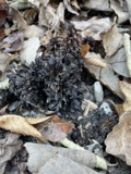 | Conopholis americana (L.) Wallr. | 1851 | Wolle, J. | Canoe Down [Canal Dover?] |
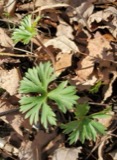 | Delphinium tricorne Michx. | 1851 | Wolle, J. | Canoe Down [Canal Dover] |
 | Erythronium americanum Ker Gawl. | 1851 | Wolle, J. | Canal Dover |
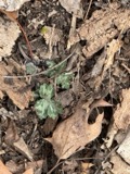 | Hydrophyllum appendiculatum Michx. | 1851 | Wolle, J. | Canoe Down [Canal Dover] |
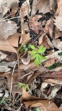 | Hydrophyllum virginianum L. | 1851 | Wolle, J. | Canoe Down [Canal Dover] |
 | Silene virginica L. | 1851 | Wolle, J. | Canal Downs [Canal Dover] |
All 378 specimens within 10 miles, at the Global Biodiversity Information Facility.
Mines and quarries near this place
10 of 16 shownRegional context, not property-specific evidence. The federal mineral resources record lists 16 workings within 5 miles of Zoar: 10 producers, 4 past producers, 2 plants. 12 still produce. What was taken out: Clay, Coal, Fire Clay (Refractory), Sand and Gravel, Construction. Distance is straight-line from the map coordinates, so a quarry counted here may appear on a neighbouring settlement's page as well.
| Where | Site | Commodity | Status | Recorded |
|---|---|---|---|---|
| Black Hawk Mine | Clay, Stone, Crushed/Broken | Producer | ||
| Zoar Pit | Clay, Coal | Producer | ||
| Zoar Pit | Clay, Coal | Producer | ||
| Belden Pit | Clay, Coal | Producer | ||
| Corundite Plant | Fire Clay (Refractory) | Past Producer | ||
| Edgar Spring Pit | Clay, Coal | Producer | ||
| Fairfield Mines & Mill | Fire Clay (Refractory) | Plant | ||
| Fairfield Pit | Clay, Coal | Producer | ||
| Oster Sand & Gravel Bolivar Pit | Sand and Gravel, Construction | Producer | ||
| Sandyville Pit | Sand and Gravel, Construction | Producer |
Storms near this place
10 since 1998Regional context, not property-specific evidence. The National Weather Service names Zoar in 10 storm reports between 1998 and 2025: 6 thunderstorm wind, 3 flash flood, 1 hail. No death or injury is recorded in these reports. Each account below is quoted exactly as the forecast office filed it, from the NOAA Storm Events Database, and each date opens the federal record of that event.
| When | Event | Place named | Harm | What the report says |
|---|---|---|---|---|
| May 1998 | Thunderstorm Wind | Zoar | $10,000 | Large trees were downed by thunderstorm winds. One tree fell onto a house, causing damage. |
| July 2022 | Thunderstorm Wind | Zoar | $5,000 | Power lines were reported to be downed. |
| August 2014 | Flash Flood | Zoar | $5,000 | Law enforcement reported flash flooding on State Route 212. |
| August 2014 | Flash Flood | Zoar | $5,000 | Law enforcement reported flash flooding on Towpath Road. |
| September 2000 | Thunderstorm Wind | Zoar | $5,000 | Thunderstorm winds downed several large trees along County Road 212 and Dover Zoar Road in the vicinity of Zoar. |
| April 2020 | Thunderstorm Wind | Zoar | $1,000 | A trained spotter reported that shingles were blown off of a roof. Time of occurrence was estimated based on radar. |
| April 2024 | Thunderstorm Wind | Zoar | $500 | Large branches down noted by NWS Storm Survey. |
| April 2025 | Thunderstorm Wind | Zoar | - | Multiple trees and limbs were reported down. |
| August 2004 | Flash Flood | Zoar | - | SR 212 flooded. |
| July 2000 | Hail | Zoar | - | no account filed |
Nearest settlements
The eight closest, with where each one stands in the county. Distances are straight-line, computed from the Geographic Names Information System coordinates.
| Map | Place | Distance | Sheets |
|---|---|---|---|
| Wilkshire Hills | 1.0 miles | 16 | |
| Zoarville | 2.7 miles | 16 | |
| Lawrenceville (historical) | 2.7 miles | 16 | |
| Valley Junction | 2.9 miles | 16 | |
| Dutchtown | 2.9 miles | 17 | |
| Bolivar | 2.9 miles | 16 | |
| Sandyville | 3.2 miles | 17 | |
| Mineral City | 3.4 miles | 17 |
Elsewhere
Matched on this settlement's Geographic Names Information System number rather than its name, so it cannot be a different place of the same name in another state.
| Wikipedia article on Zoar | An encyclopaedic summary. Its text is share-alike, so it is linked here rather than copied. |
| Wikidata item Q2667002 | The structured record the population and elevation above come from. Public domain (CC0). |
Provenance
This settlement is recorded in the Geographic Names Information System as feature 1049362. The sheet list is computed by point-in-boundary test against the United States Geological Survey's historical topographic inventory. Both are works of the United States government and carry no copyright under 17 U.S.C. 105.
Wildfire. Short, Karen C. 2022. Spatial wildfire occurrence data for the United States, 1992-2020 [FPA_FOD_20221014]. 6th Edition. Fort Collins, CO: Forest Service Research Data Archive. https://doi.org/10.2737/RDS-2013-0009.6 Collected with United States Government funding and usable without additional permissions or fees.
Specimens. Global Biodiversity Information Facility (GBIF), https://www.gbif.org/. Only records licensed CC0 or CC BY are used. Records licensed CC BY-NC are excluded because this site carries advertising. Images are checked individually and any whose licence is non-commercial, no-derivatives or unreadable is refused.
Mines and quarries. USGS Mineral Resources Data System (MRDS) https://mrdata.usgs.gov/mrds/ A work of the United States government, no copyright under 17 U.S.C. 105.
Storms. NOAA National Centers for Environmental Information, Storm Events Database https://www.ncei.noaa.gov/stormevents/ A work of the United States government, no copyright under 17 U.S.C. 105. Narratives are quoted verbatim from the National Weather Service report and are not edited or summarised.