 Block
Block
Sandyville, Ohio
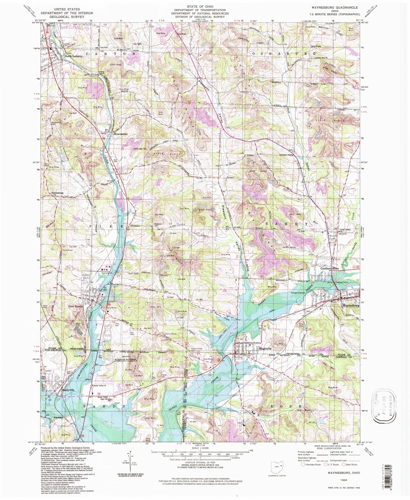
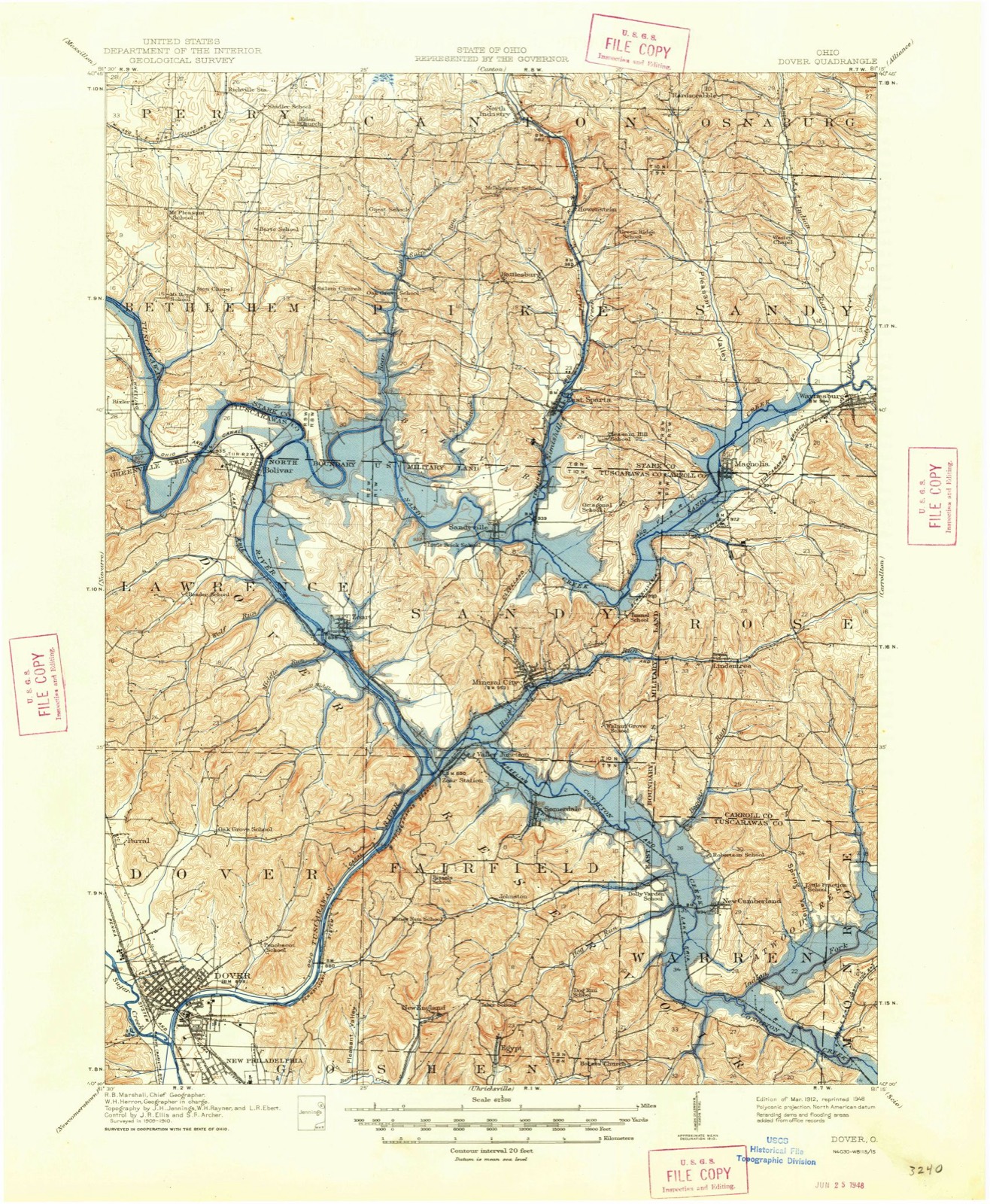
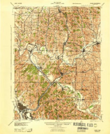
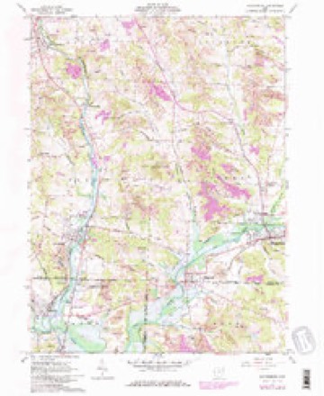
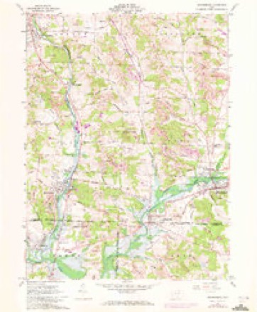
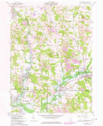
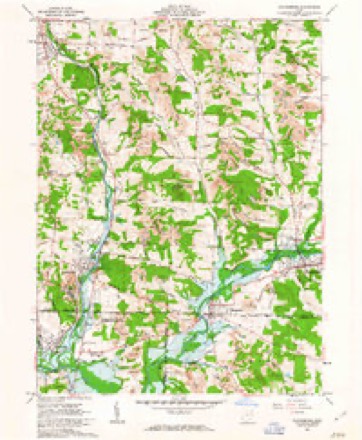
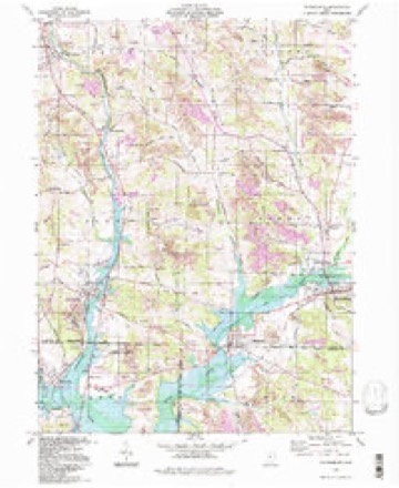
17 topographic sheets cover this place, the earliest surveyed in 1912 and the latest in 1994. It stands in Sandy Township. It lies in ZIP code area 44626. The Survey maps it on the Waynesburg quadrangle. 350 people lived here at the 2020 count. It stands 961 feet above sea level.
Population over time
2 figuresSandyville fell from 368 to 350 between 2010 and 2020. These are the recorded population figures Wikidata holds for this place, reached through the Geographic Names Information System number this page is keyed on rather than by name, so they belong to this place and not to another of the same name. Most are census counts, but not all are: an early figure may be a founding or settlement estimate. The change column is computed, and is left blank where more than 20 years separate a figure from the one before it, because a gap that long is not a change between two counts.
| Year | People | Change |
|---|---|---|
| 2010 | 368 | |
| 2020 | 350 | -18 (-5%) |
Then and now
1912 to 1994The same ground, surveyed 82 years apart. Drag the handle to wipe between them. Both sheets are United States Geological Survey originals; neither has been altered.
Topographic sheets covering this place
17 sheetsMatched by testing this settlement's coordinate against the published boundary of every sheet in the United States Geological Survey's historical collection. Each opens the scanned sheet at the Survey.
- 1912 USGS Dover quadrangle1:62500
- 1912 USGS Dover quadrangle1:62500
- 1944 USGS Dover quadrangle1:62500
- 1951 USGS Canton quadrangle1:250000
- 1953 USGS Canton quadrangle1:250000
- 1957 USGS Canton quadrangle1:250000
- 1957 USGS Canton quadrangle1:250000
- 1957 USGS Canton quadrangle1:250000
- 1961 USGS Waynesburg quadrangle1:24000
- 1961 USGS Waynesburg quadrangle1:24000
- 1961 USGS Waynesburg quadrangle1:24000
- 1961 USGS Waynesburg quadrangle1:24000
- 1962 USGS Canton quadrangle1:250000
- 1962 USGS Canton quadrangle1:250000
- 1986 USGS Canton quadrangle1:100000
- 1986 USGS Canton quadrangle1:100000
- 1994 USGS Waynesburg quadrangle1:24000







In the county-history sources
5,387 words on this townshipThe History of Tuscarawas County, Ohio, published 1884 names this settlement in its chapter on Sandy Township. These are the passages that mention it, exactly as the scans read.
Other early settlers on the Congress land were Peter Fulk, Philip Swank, John Sweaney, Andrew Sheas and Hugh Russell. Peter Fulk was a Pennsylvania German, made his home on the southwest quarter of Section 6, owned considerable land in addition, came before 1815, usually wore buckskin pants, was a successful farmer and died in 1823. Christian and Philip Swank were here before 1815, emigrating from Huntingdon County. Penn. Christian came first, and afterward moved to Stark County. Philip settled on the northeast quarter of Section 5, afterward on the southwest quarter of Section 7. He moved to Livingston County, Mo. John Swaney, from Frederick County, Md., entered and settled on the northwest quarter of Section 14 prior to 1815. He died near Sandyville. Andrew Sheas came in 1816, from Pennsylvania, and purchased the northwest quarter of Section 3, which had been entered by John Burk. He was an Albright, and services of this denomination were held for a time in his barn. His father, Peter Sheas, crossed the Delaware with Gen. Washington, and resided for a short time in Sandy. Hugh Russell, a miller by trade and occupation, came from Maryland to Stark County, Ohio, in 1814, and to Sandy Township in 1817, settling on the northwest quarter of Section 4. He died in May, 1825, and his son, Hugh, is now the only member of his family in the township. Mr. Russell is seventy -four years of age, and one of the township's most respected citizens.
Passage source: The History of Tuscarawas County, Ohio, published 1884.
The first white child bom in the township was James Farber, boh of John Farber, in the spring of 1808. Nancy Eakin was the second. She was bom in the autumn of 1808. The first marriage was that of Rebecca Flickinger to Mr. Kline. Sally Farber, of the township, however, was married earlier to John Price There being no Justice in this township at that time, a Squire was sent for from Canton. He came to the county line, near Farber' s cabin, and was there met by the expectant couple. William Lee, who was teaching school in the neighborhood, marched his pupils out to the forest altar to witness the ceremony, then solemnly returned with them to the schoolroom and re -commenced practicing (there the art of education. Indians occasionally visited the schoolroom. They would enter noiselessly, remain quietly for an hour or two, perhaps smoke with the teacher, then as quietly again take their departure without uttering a syllable. The Tndians would visit the earliest settlers in bands of perhaps ten or twenty, and refuse to leave the cabin of the white man until the cravings of the inner man were satisfied, even if it required the settler's whole stock of provisions. Many distilleries were operated in the township in the early days. Rev. J. B. Morrow organized the first temperance sooiety, near Sandyville, about 1831. Peter Andrews, about 1832, built a grist mill on One Leg Creek, in the southwestern part of the township. It was afterward rebuilt, and burned a few years ago.
Passage source: The History of Tuscarawas County, Ohio, published 1884.
Sandyville is a little village located in the pleasant valley of Sandy Creek, a short distance below the mouth of Nimishillen Creek. It was laid out in 1815 by Henry Laffer. The plat shows that there were originally eighty-six lots, all of which are three perches in width, and west of them twelve perches in length. Main and Front streets cross at right angles and run with the cardinal points of the compass. At their intersection is a M public square," eight perches in width and ten in length. In 1839, Daniel Becket made an extensive addition on the north, consisting of fifty-one lots, thirteen of which are of large size, the others building lots. In 1843, the administrators of Henry Laffer made an addition of forty-seven lots, extending west as far as Sandy Creek. The proprietor, Henry Laffer, was ODe of the most prominent men in the county. He emigrated from Westmoreland County, Penn., to New Philadelphia about 1806, and kept a tavern at the county seat for several years. From 1810 to 1813, he was Sheriff of the county In 1815, he purchased from Joseph Eakin the northeast quarter of Section 8, and founded Sandyville. This quarter had been entered by Joseph Eakin and Jonathan Skyhawk. They erected a saw mill, and soon after Eakin obtained sole possession. Both were from Beaver County, Penn., emigrating to Tuscarawas about 1809. In 1815, Joseph Eakin returned to Pennsylvania. Mr. Laffer engaged in various public enterprises to advance the interests of his community and county, was quite popular, became a Major General of the militia, a State Senator, and filled other positions of trust and honor. He died at Sandyville in March, 1835.
Passage source: The History of Tuscarawas County, Ohio, published 1884.
Machine-read from a century-old scan, so expect the errors a machine makes: misspelled names, dropped words, stray characters.
Read the whole chapter on Sandy Township - it names this place 6 more 6 times.
Fires near this place
20 since 2004Regional context, not property-specific evidence. The federal wildfire occurrence database lists 20 fires within 5 miles of Sandyville between 2004 and 2020, burning about 54 acres in total. None started naturally. None was recorded as arson. Distance is straight-line from the map coordinates, so a fire counted here may appear on a neighbouring settlement's page as well.
| Reported cause | Fires |
|---|---|
| Debris and open burning | 13 |
| Missing data/not specified/undetermined | 5 |
| Power generation/transmission/distribution | 1 |
| Equipment and vehicle use | 1 |
The most recent of them, most recent first, with the day each was reported and the service that recorded it.
| Date | Cause | Size | Reported by | Name on the report |
|---|---|---|---|---|
| 26 July 2020 | Missing data/not specified/undetermined | 1.5 acres | Ohio Department of Natural Resources | 15797 |
| 26 June 2016 | Missing data/not specified/undetermined | 2.0 acres | Ohio Department of Natural Resources | 5065 |
| 2 May 2015 | Debris and open burning | 15 acres | Ohio Department of Natural Resources | 1105 |
| 7 April 2004 | Debris and open burning | under an acre | Ohio Department of Natural Resources | not named |
| 6 April 2014 | Debris and open burning | 1.0 acres | Ohio Department of Natural Resources | not named |
| 5 April 2005 | Debris and open burning | 4.4 acres | Ohio Department of Natural Resources | not named |
| 21 April 2018 | Missing data/not specified/undetermined | under an acre | Ohio Department of Natural Resources | 13148 |
| 19 April 2014 | Debris and open burning | under an acre | Ohio Department of Natural Resources | not named |
Settlements close enough to share some of these fires:
Specimens collected near this place
12 of 197 shownRegional context, not property-specific evidence. Museums hold 197 specimens collected within 10 miles of Sandyville between 1851 and 1973: 145 Animalia, 41 Plantae, 11 Fungi. 12 distinct Species records are shown. Collected by A W Cusick, A. Cibula, A. Cobula and others. Each is a physical object with a catalogue number, and each entry opens the museum's record. This is what was collected and kept, not a survey of what lives here - nothing can be concluded from a species being absent.
| Image | Species | Year | Collected by | Where, as recorded |
|---|---|---|---|---|
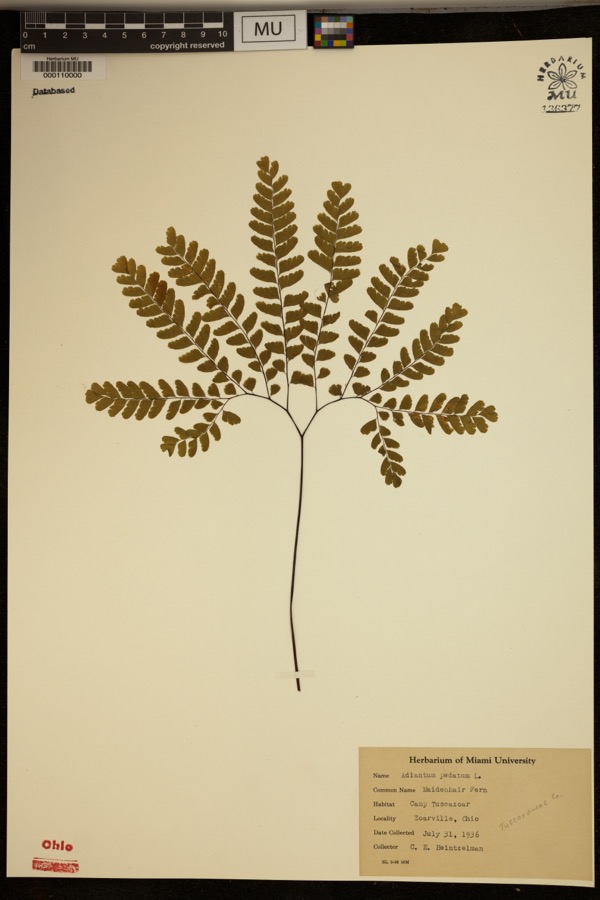 | Adiantum pedatum L. | 1936 | Heintzelmann, C.E. | Camp Tuscazoar. Zoarville. |
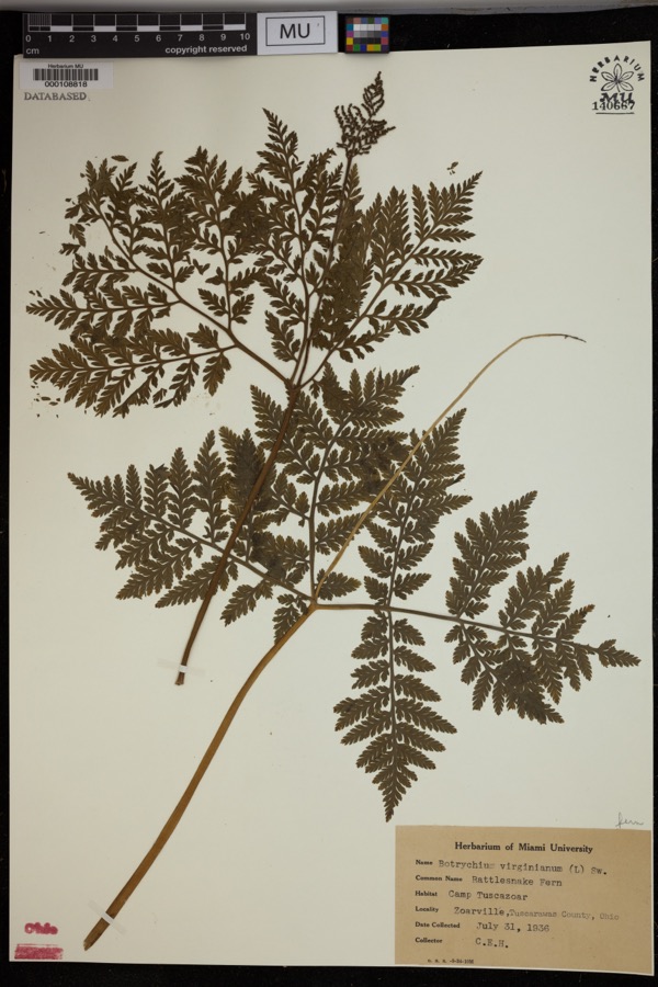 | Botrychium virginianum (L.) Sw. | 1936 | Heintzelmann, C.E. | Camp Tuscazoar, Zoarville. |
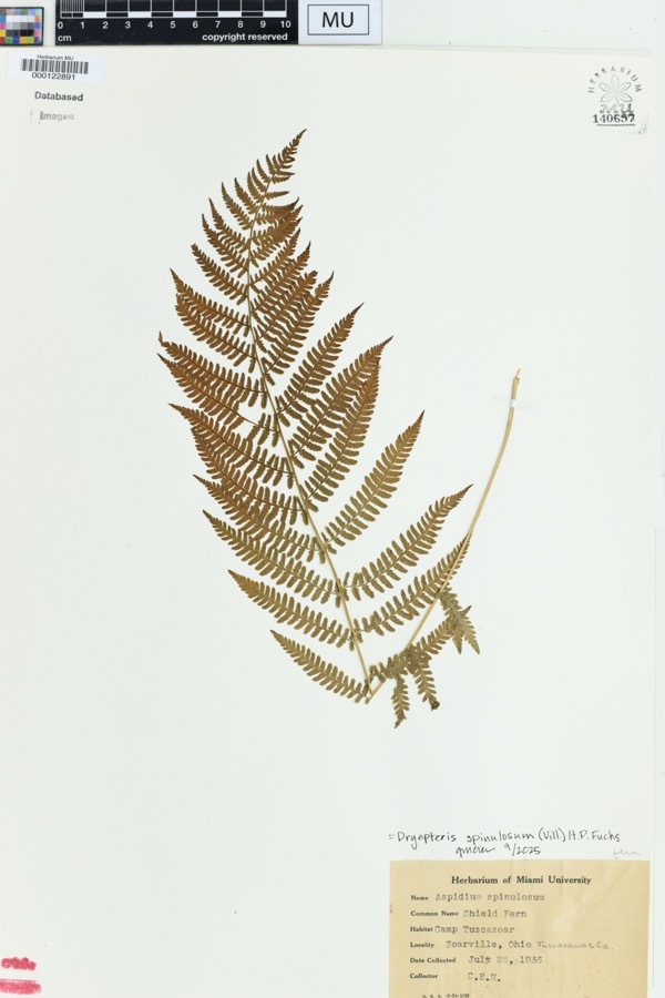 | Dryopteris spinulosa (O.F.Müll.) Watt | 1936 | Heintzelmann, C.E. | Zoarville, Ohio. Camp Tuscazoar |
 | Amelanchier arborea (F.Michx.) Fernald | 1851 | Wolle, J. | Canoe Down [Canal Dover] |
 | Anemone canadensis L. | 1851 | Wolle, J. | Canoe Down [Canal Dover] |
 | Cardamine douglassii Britton | 1851 | Wolle, J. | Canae Docus [??] [Canal Dover] |
 | Conopholis americana (L.) Wallr. | 1851 | Wolle, J. | Canoe Down [Canal Dover?] |
 | Delphinium tricorne Michx. | 1851 | Wolle, J. | Canoe Down [Canal Dover] |
 | Erythronium americanum Ker Gawl. | 1851 | Wolle, J. | Canal Dover |
 | Hydrophyllum appendiculatum Michx. | 1851 | Wolle, J. | Canoe Down [Canal Dover] |
 | Hydrophyllum virginianum L. | 1851 | Wolle, J. | Canoe Down [Canal Dover] |
 | Silene virginica L. | 1851 | Wolle, J. | Canal Downs [Canal Dover] |
All 197 specimens within 10 miles, at the Global Biodiversity Information Facility.
Mines and quarries near this place
10 of 15 shownRegional context, not property-specific evidence. The federal mineral resources record lists 15 workings within 5 miles of Sandyville: 9 producers, 4 past producers, 2 plants. 11 still produce. What was taken out: Clay, Sand and Gravel, Construction, Coal, Fire Clay (Refractory). Distance is straight-line from the map coordinates, so a quarry counted here may appear on a neighbouring settlement's page as well.
| Where | Site | Commodity | Status | Recorded |
|---|---|---|---|---|
| Black Hawk Mine | Clay, Stone, Crushed/Broken | Producer | ||
| Corundite Plant | Fire Clay (Refractory) | Past Producer | ||
| Edgar Spring Pit | Clay, Coal | Producer | ||
| Fairfield Mines & Mill | Fire Clay (Refractory) | Plant | ||
| Fairfield Pit | Clay, Coal | Producer | ||
| Zoar Pit | Clay, Coal | Producer | ||
| Zoar Pit | Clay, Coal | Producer | ||
| Oster Sand & Gravel Bolivar Pit | Sand and Gravel, Construction | Producer | ||
| Sandyville Pit | Sand and Gravel, Construction | Producer | ||
| Zoar Pit | Sand and Gravel, Construction | Past Producer |
Storms near this place
2 since 2015Regional context, not property-specific evidence. The National Weather Service names Sandyville in 2 storm reports between 2015 and 2020: 1 thunderstorm wind, 1 tornado. No death or injury is recorded in these reports. Each account below is quoted exactly as the forecast office filed it, from the NOAA Storm Events Database, and each date opens the federal record of that event.
| When | Event | Place named | Harm | What the report says |
|---|---|---|---|---|
| June 2015 | Thunderstorm Wind | Sandyville | $2,000 | Law enforcement reported a tree down on a small mobile trailer. |
| April 2020 | Tornado (EF0) | Sandyville | - | This is a continuation of the tornado that impacted East Sparta in|Stark County.||The tornado resulted in damage to several modular homes and|brought down numerous hardwood and softwood trees in the Sandy|Valley Estates allotment along Route 800. It then moved across SR183|damaging two additional structures before moving toward Sandy Valley|High School, where it toppled additional hardwood trees and damaged|structures near the ballfields.||This is the 16th tornado for Tuscarawas County since the 1880s for which|we were notified of damage. The most recent tornado prior to this occurred|on April 14th, 2019 when another EF0 tornado was observed. |
Nearest settlements
The eight closest, with where each one stands in the county. Distances are straight-line, computed from the Geographic Names Information System coordinates.
| Map | Place | Distance | Sheets |
|---|---|---|---|
| Sandy Valley Estates | 1.1 miles | 17 | |
| Dutchtown | 1.6 miles | 17 | |
| Mineral City | 2.8 miles | 17 | |
| Zoar | 3.2 miles | 16 | |
| Wilkshire Hills | 3.5 miles | 16 | |
| Lawrenceville (historical) | 3.9 miles | 16 | |
| Valley Junction | 3.9 miles | 16 | |
| Zoarville | 4.0 miles | 16 |
Elsewhere
Matched on this settlement's Geographic Names Information System number rather than its name, so it cannot be a different place of the same name in another state.
| Wikipedia article on Sandyville | An encyclopaedic summary. Its text is share-alike, so it is linked here rather than copied. |
| Wikidata item Q3472250 | The structured record the population and elevation above come from. Public domain (CC0). |
Provenance
This settlement is recorded in the Geographic Names Information System as feature 1063001. The sheet list is computed by point-in-boundary test against the United States Geological Survey's historical topographic inventory. Both are works of the United States government and carry no copyright under 17 U.S.C. 105.
Wildfire. Short, Karen C. 2022. Spatial wildfire occurrence data for the United States, 1992-2020 [FPA_FOD_20221014]. 6th Edition. Fort Collins, CO: Forest Service Research Data Archive. https://doi.org/10.2737/RDS-2013-0009.6 Collected with United States Government funding and usable without additional permissions or fees.
Specimens. Global Biodiversity Information Facility (GBIF), https://www.gbif.org/. Only records licensed CC0 or CC BY are used. Records licensed CC BY-NC are excluded because this site carries advertising. Images are checked individually and any whose licence is non-commercial, no-derivatives or unreadable is refused.
Mines and quarries. USGS Mineral Resources Data System (MRDS) https://mrdata.usgs.gov/mrds/ A work of the United States government, no copyright under 17 U.S.C. 105.
Storms. NOAA National Centers for Environmental Information, Storm Events Database https://www.ncei.noaa.gov/stormevents/ A work of the United States government, no copyright under 17 U.S.C. 105. Narratives are quoted verbatim from the National Weather Service report and are not edited or summarised.