 Block
Block
Minster, Ohio
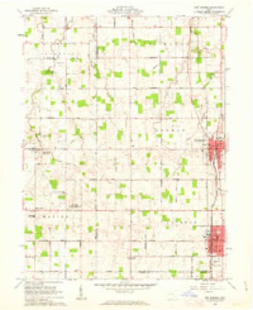
13 topographic sheets cover this place, the earliest surveyed in 1909 and the latest in 1986. It stands in Jackson Township. It lies in ZIP code area 45865. The Survey maps it on the New Bremen quadrangle. 3,046 people lived here at the 2020 count. It stands 965 feet above sea level.
Population over time
2 figuresMinster grew from 2,805 to 3,046 between 2010 and 2020. These are the recorded population figures Wikidata holds for this place, reached through the Geographic Names Information System number this page is keyed on rather than by name, so they belong to this place and not to another of the same name. Most are census counts, but not all are: an early figure may be a founding or settlement estimate. The change column is computed, and is left blank where more than 20 years separate a figure from the one before it, because a gap that long is not a change between two counts.
| Year | People | Change |
|---|---|---|
| 2010 | 2,805 | |
| 2020 | 3,046 | +241 (+9%) |
Then and now
1909 to 1986The same ground, surveyed 77 years apart. Drag the handle to wipe between them. Both sheets are United States Geological Survey originals; neither has been altered.

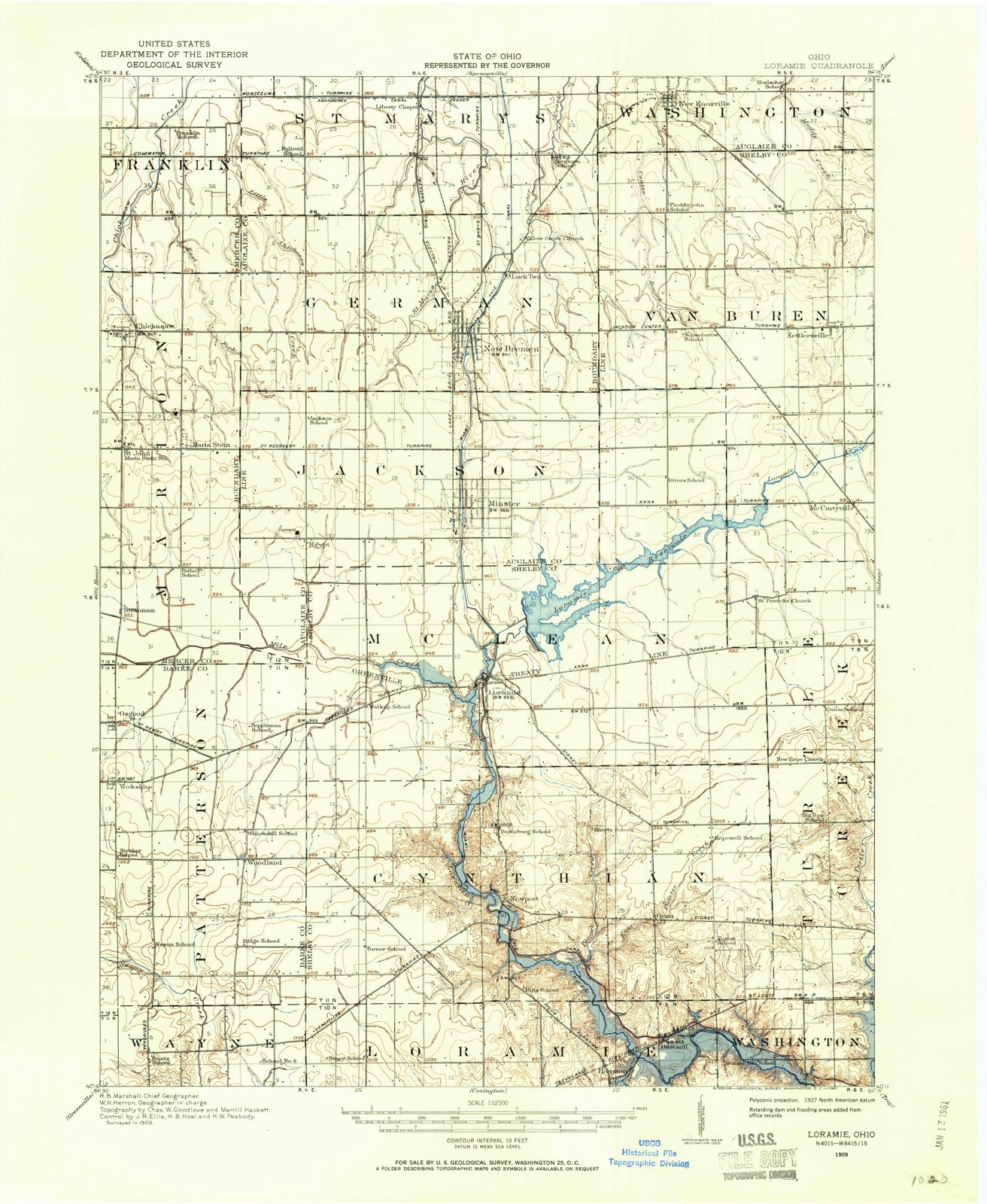
Topographic sheets covering this place
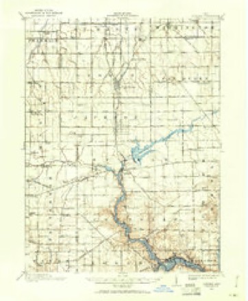
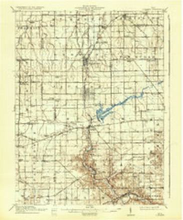
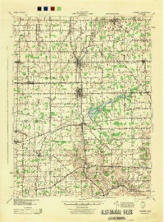
13 sheetsMatched by testing this settlement's coordinate against the published boundary of every sheet in the United States Geological Survey's historical collection. Each opens the scanned sheet at the Survey.
- 1909 USGS Loramie quadrangle1:62500
- 1911 USGS Loramie quadrangle1:62500
- 1944 USGS Loramie quadrangle1:62500
- 1953 USGS Muncie quadrangle1:250000
- 1953 USGS Muncie quadrangle1:250000
- 1953 USGS Muncie quadrangle1:250000
- 1953 USGS Muncie quadrangle1:250000
- 1953 USGS Muncie quadrangle1:250000
- 1956 USGS Muncie quadrangle1:250000
- 1961 USGS New Bremen quadrangle1:24000
- 1986 USGS Piqua quadrangle1:100000
- 1986 USGS Piqua quadrangle1:100000
- 1986 USGS Piqua quadrangle1:100000









In the county-history sources
8,057 words on this townshipHistory of Western Ohio and Auglaize County, with Illustrations and Biographical Sketches of Pioneers and Prominent Public Men, published 1905 names this settlement in its chapter on Jackson Township. These are the passages that mention it, exactly as the scans read.
The soil of the township is exceedingly fertile, from which bounteous crops spring with the regularity of the seasons. The Loramie Reservoir extends into the township in sections thirtyfive and thirty-six. The extension of the L. E. & W. R. R. in 1877 and the Western Ohio R. R. to Minster in 1903, created new life and activity in the township. The development, in the last few years of what is known as the Minster oil field has also been a source of benefit.
Passage source: History of Western Ohio and Auglaize County, with Illustrations and Biographical Sketches of Pioneers and Prominent Public Men, published 1905.
The town was founded by Germans, and still preserves its nationality. It assumed considerable business importance after the construction of the Miami and Erie canal. The race connecting the northern extremity of the Loramie Reservoir with the canal in Minster was dug in the years 1847-8-9. Francis Sprehe built a frame grist mill near where the race crosses Frankfort street, which did a profitable business for many years. Thus the community flourished until 1849, when the cholera appeared, making such ravages that four hundred settlers of the town and township died of the dread disease. The people died so rapidly that immediate burial could not be given them. Theodore Dickman, then a lad of fourteen years, remembers counting twenty-six coffins sitting around in the hazel bushes in the cemetery south of the town, awaiting interment. Joseph Bussing from three miles west of Minster and a number of assistants, came once a week and buried the accumulation of caskets. They buried them in deep trenches four tiers deep. The epidemic continued three years, but was not so malignant the last two years. A remarkable feature of the epidemic was that its prevalence was confined to the village and township east of the canal. No case was reported west of that waterway. All forms of business were crippled by the great calamity. Several years elapsed before the town resumed anything of its former enterprise and social conditions. There was a slow but steady growth in the volume of business and public improvements of the town until 1877, when the Lake Erie and Western R. R. was extended from St. Mary's to Minster. roads.
Passage source: History of Western Ohio and Auglaize County, with Illustrations and Biographical Sketches of Pioneers and Prominent Public Men, published 1905.
The first public school building in Jackson township was -erected in Minster in 1834, and was situated at the corner of Adams and Zweibruken streets. It served as a township and village school building until 1853, when a four room brick building was erected on Zweibruken street between Adams and Fifth streets. After the establishment of the church and convent at Egypt a school house was built in that locality in i860.
Passage source: History of Western Ohio and Auglaize County, with Illustrations and Biographical Sketches of Pioneers and Prominent Public Men, published 1905.
Machine-read from a century-old scan, so expect the errors a machine makes: misspelled names, dropped words, stray characters.
Read the whole chapter on Jackson Township - it names this place 37 more 37 times.
Specimens collected near this place
12 of 348 shownRegional context, not property-specific evidence. Museums hold 348 specimens collected within 10 miles of Minster between 1800 and 1974: 313 Animalia, 34 Plantae, 1 Bacteria. 12 distinct Species records are shown. Collected by Albert Wetzstein, Ballenstedt, B., Baßmann and others. Each is a physical object with a catalogue number, and each entry opens the museum's record. This is what was collected and kept, not a survey of what lives here - nothing can be concluded from a species being absent.
| Image | Species | Year | Collected by | Where, as recorded |
|---|---|---|---|---|
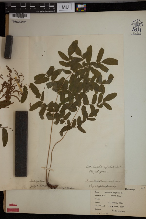 | Osmunda regalis L. | 1897 | Wetzstein, A. | St. Marys. |
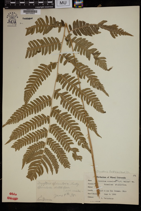 | Dryopteris goldiana (Hook. ex Goldie) A.Gray | 1898 | Wetzstein, A. | Rich woods, New Bremen. |
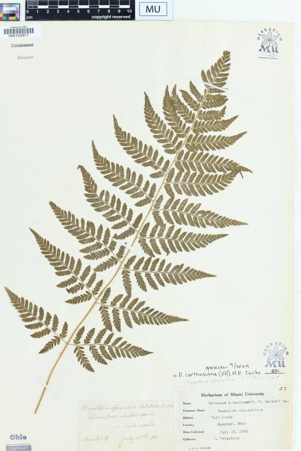 | Dryopteris spinulosa (O.F.Müll.) Watt | 1898 | Wetzstein, A. | Rich woods. Minster, Ohio |
 | Mentha aquatica L. | 1800 | Ballenstedt, B. | Bremen: An der WÅmme in Oberneuland bei Bremen |
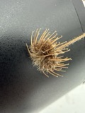 | Geum urbanum L. | 1883 | Baßmann | Bremen: Vegesack, feuchtes, schattiges Gehîlz bei Holthorst, sehr selten |
 | Rubus idaeus L. | 1889 | Meyerholz | Bremen: auf Quellgrund, Torf u. Humus |
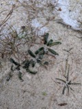 | Lobelia dortmanna L. | 1892 | Wendelken | Bremen: Bremen-Lesum, Lesum |
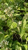 | Rubus condensatus P.J.Müll. | 1892 | Elmgoeth, Fr. | Niedersachsen: Soltau in der Lüneburger Heide |
 | Perca flavescens (Mitchill, 1814) | 1893 | PH Kirsch | St. Mary's River immediately above (S of) St. Mary's; Maumee River dr |
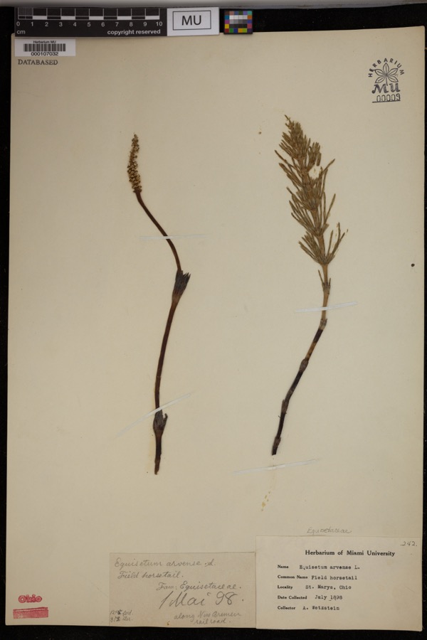 | Equisetum arvense L. | 1898 | Wetzstein, A. | St. Marys. Along New Bremen railroad. |
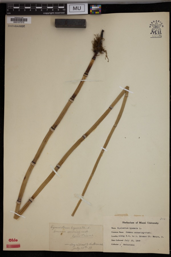 | Equisetum hyemale L. | 1899 | Wetzstein, A. | Along R.R. to N. Bremen, St. Marys. |
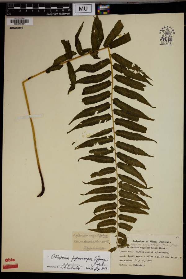 | Athyrium pycnocarpon (Spreng.) Tidestr. | 1900 | Wetzstein, A. | Moist woods 2 miles S.E. of St. Marys. |
All 348 specimens within 10 miles, at the Global Biodiversity Information Facility.
Mines and quarries near this place
3 within 5 milesRegional context, not property-specific evidence. The federal mineral resources record lists 3 workings within 5 miles of Minster: 3 past producers. None of them still produces. What was taken out: Sand and Gravel, Construction. Distance is straight-line from the map coordinates, so a quarry counted here may appear on a neighbouring settlement's page as well.
| Where | Site | Commodity | Status | Recorded |
|---|---|---|---|---|
| Bandwie Pit | Sand and Gravel, Construction | Past Producer | ||
| Fleckenstein Pit | Sand and Gravel, Construction | Past Producer | Sedimentary | |
| Fleckenstein Pit | Sand and Gravel, Construction | Past Producer |
Storms near this place
10 since 2002Regional context, not property-specific evidence. The National Weather Service names Minster in 10 storm reports between 2002 and 2023: 6 thunderstorm wind, 3 hail, 1 tornado. No death or injury is recorded in these reports. Each account below is quoted exactly as the forecast office filed it, from the NOAA Storm Events Database, and each date opens the federal record of that event.
| When | Event | Place named | Harm | What the report says |
|---|---|---|---|---|
| March 2023 | Tornado (EF0) | Minster | $70,000 | The tornado initially touched down at 2345EST in Mercer County near the intersection of Indian Trail Road and State Route 716 and crossed into Auglaize County near the intersection of State Route 364 and Minster Egypt Pike at 2348EST. The tornado continued northeast and crossed through the north end of Minster before lifting near Bensman Road. Tree and structural damage was noted with some of the most significant structural damage done to barns near Egypt. |
| June 2002 | Thunderstorm Wind | Minster | $5,000 | Numerous trees fell near Minster and to the south of Saint Marys. |
| August 2019 | Thunderstorm Wind | Minster | $3,000 | A few trees were knocked down in the Minster area. |
| May 2009 | Thunderstorm Wind | Minster | $3,000 | Several 10-12 diameter trees were downed in Minster. |
| June 2008 | Hail | Minster | $3,000 | no account filed |
| December 2013 | Thunderstorm Wind | Minster | $1,000 | A large tree was downed due to thunderstorm winds. |
| July 2016 | Thunderstorm Wind | Minster | $500 | A tree was downed. |
| August 2021 | Thunderstorm Wind | Minster | $100 | A large limb fell onto a barn roof on Minster Egypt Pike. |
| June 2009 | Hail | Minster | - | no account filed |
| April 2003 | Hail | Minster | - | no account filed |
Nearest settlements
The eight closest, with where each one stands in the county. Distances are straight-line, computed from the Geographic Names Information System coordinates.
| Map | Place | Distance | Sheets |
|---|---|---|---|
| New Bremen | 3.0 miles | 13 | |
| Egypt | 3.1 miles | 13 | |
| Lock Two | 4.1 miles | 15 | |
| New Knoxville | 7.7 miles | 15 | |
| Southmoor Shores | 8.8 miles | 14 | |
| South Shore Acres | 8.9 miles | 14 | |
| Breezewood | 8.9 miles | 14 | |
| Harmons Landing | 8.9 miles | 14 |
Elsewhere
Matched on this settlement's Geographic Names Information System number rather than its name, so it cannot be a different place of the same name in another state.
| Wikipedia article on Minster | An encyclopaedic summary. Its text is share-alike, so it is linked here rather than copied. |
| Wikidata item Q1816613 | The structured record the population and elevation above come from. Public domain (CC0). |
Provenance
This settlement is recorded in the Geographic Names Information System as feature 1070847. The sheet list is computed by point-in-boundary test against the United States Geological Survey's historical topographic inventory. Both are works of the United States government and carry no copyright under 17 U.S.C. 105.
Specimens. Global Biodiversity Information Facility (GBIF), https://www.gbif.org/. Only records licensed CC0 or CC BY are used. Records licensed CC BY-NC are excluded because this site carries advertising. Images are checked individually and any whose licence is non-commercial, no-derivatives or unreadable is refused.
Mines and quarries. USGS Mineral Resources Data System (MRDS) https://mrdata.usgs.gov/mrds/ A work of the United States government, no copyright under 17 U.S.C. 105.
Storms. NOAA National Centers for Environmental Information, Storm Events Database https://www.ncei.noaa.gov/stormevents/ A work of the United States government, no copyright under 17 U.S.C. 105. Narratives are quoted verbatim from the National Weather Service report and are not edited or summarised.