 Block
Block
New Knoxville, Ohio
15 topographic sheets cover this place, the earliest surveyed in 1909 and the latest in 1986. It stands in Washington Township. It lies in ZIP code area 45871. The Survey maps it on the New Knoxville quadrangle. 946 people lived here at the 2020 count. It stands 902 feet above sea level.
Population over time
2 figuresNew Knoxville grew from 879 to 946 between 2010 and 2020. These are the recorded population figures Wikidata holds for this place, reached through the Geographic Names Information System number this page is keyed on rather than by name, so they belong to this place and not to another of the same name. Most are census counts, but not all are: an early figure may be a founding or settlement estimate. The change column is computed, and is left blank where more than 20 years separate a figure from the one before it, because a gap that long is not a change between two counts.
| Year | People | Change |
|---|---|---|
| 2010 | 879 | |
| 2020 | 946 | +67 (+8%) |
Then and now
1909 to 1986The same ground, surveyed 77 years apart. Drag the handle to wipe between them. Both sheets are United States Geological Survey originals; neither has been altered.

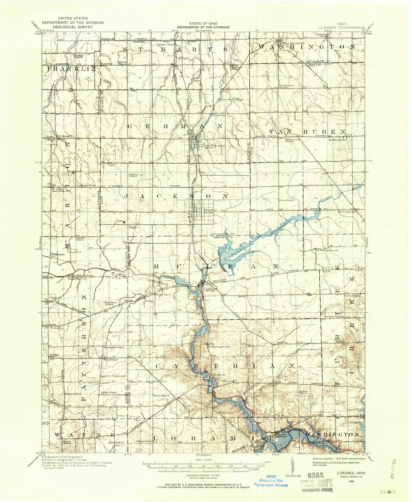
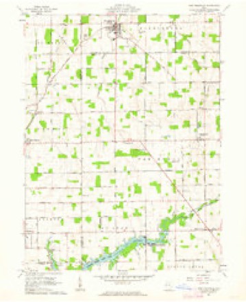
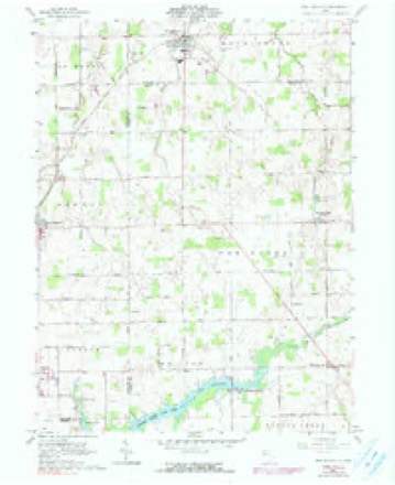
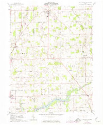
Topographic sheets covering this place
15 sheetsMatched by testing this settlement's coordinate against the published boundary of every sheet in the United States Geological Survey's historical collection. Each opens the scanned sheet at the Survey.
- 1909 USGS Loramie quadrangle1:62500
- 1911 USGS Loramie quadrangle1:62500
- 1944 USGS Loramie quadrangle1:62500
- 1953 USGS Muncie quadrangle1:250000
- 1953 USGS Muncie quadrangle1:250000
- 1953 USGS Muncie quadrangle1:250000
- 1953 USGS Muncie quadrangle1:250000
- 1953 USGS Muncie quadrangle1:250000
- 1956 USGS Muncie quadrangle1:250000
- 1961 USGS New Knoxville quadrangle1:24000
- 1961 USGS New Knoxville quadrangle1:24000
- 1961 USGS New Knoxville quadrangle1:24000
- 1986 USGS Piqua quadrangle1:100000
- 1986 USGS Piqua quadrangle1:100000
- 1986 USGS Piqua quadrangle1:100000









In the county-history sources
3,345 words on this townshipHistory of Western Ohio and Auglaize County, with Illustrations and Biographical Sketches of Pioneers and Prominent Public Men, published 1905 names this settlement in its chapter on Washington Township. These are the passages that mention it, exactly as the scans read.
The first Lutheran Reformed Church in New Knoxville was erected in 1838. It was a log building, and was for several years the only place of worship in the township. Ten years later a commodious frame building was erected which did ser- vice until 1893, when the present handsome brick edifice was erected at a cost of twenty-eight thousand dollars. The auditorium will seat seven hundred and fifty people, and the gallery two hundred and eight. A year after the construction of the new building the members of the church contributed two thousand five hundred dollars for the installation of a grand pipe organ.
Passage source: History of Western Ohio and Auglaize County, with Illustrations and Biographical Sketches of Pioneers and Prominent Public Men, published 1905.
When he abandoned carpentering, he entered the mercantile business with his father-in-law, Henry Venneman, at New Knoxville. After Mr. Venneman's death in 1882, Mr. Cook took entire control of the business, and has been carrying it on since that time. He has a general store, in which may be found dry goods of every description, besides groceries, boots and shoes, and every thing that is usually sold in such a store. In 1901, he and his son, Benjamin, erected a large brick building in which they are conducting a lucrative business at the present time. Besides this valuable property, he has a quarter section of land in Washington township and eighty acres in Van Buren township in Shelby county. He was appointed to the postmastership of the village soon after Abraham Lincoln was elected to the Presidency, and has held the office ever since, excepting when Cleveland was in the Presidential chair, and discharged the duties incumbent upon him in a manner entirely satisfactory to all concerned. He is a staunch Republican in politics. He has held responsible public offices, and was treasurer of Washington township eight years.
Passage source: History of Western Ohio and Auglaize County, with Illustrations and Biographical Sketches of Pioneers and Prominent Public Men, published 1905.
Mr. Cook was married in i860 to Miss Elizabeth Venneman, who is of German birth but has passed the most of her life in this country, whither she came with her parents when eighteen months old. Her father located on a farm just north of New Knoxville ; cleared and improved his land, and he also engaged in keeping store with our subject seven years. Mr. and Mrs. Cook have three children living: Sarah, Benjamin and
Passage source: History of Western Ohio and Auglaize County, with Illustrations and Biographical Sketches of Pioneers and Prominent Public Men, published 1905.
Machine-read from a century-old scan, so expect the errors a machine makes: misspelled names, dropped words, stray characters.
Read the whole chapter on Washington Township - it names this place 2 more 2 times.
Photographs
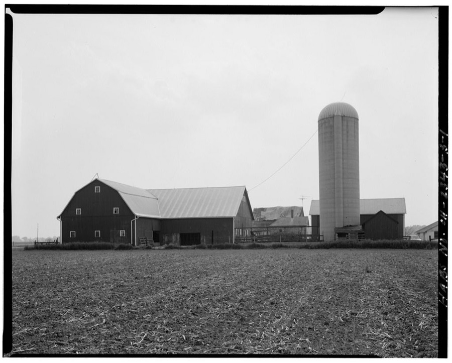
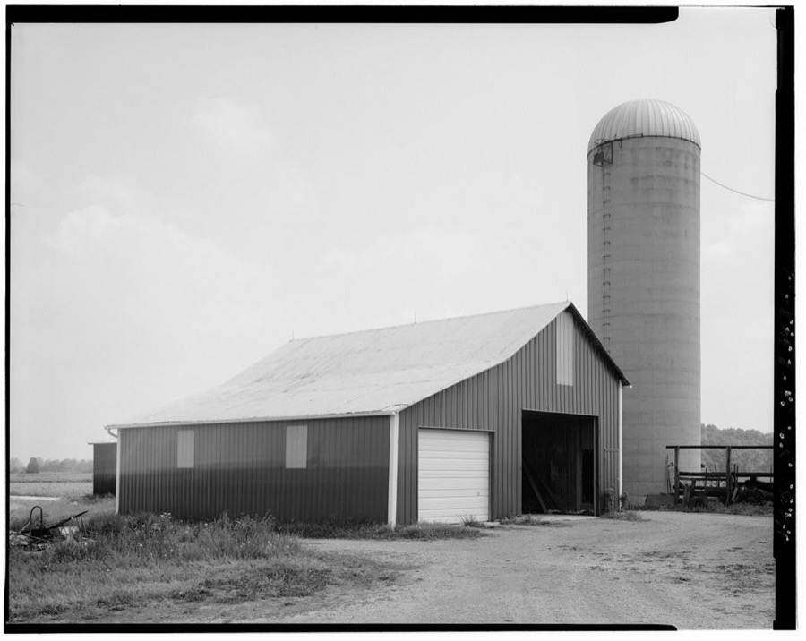
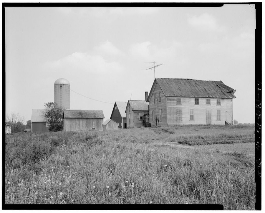
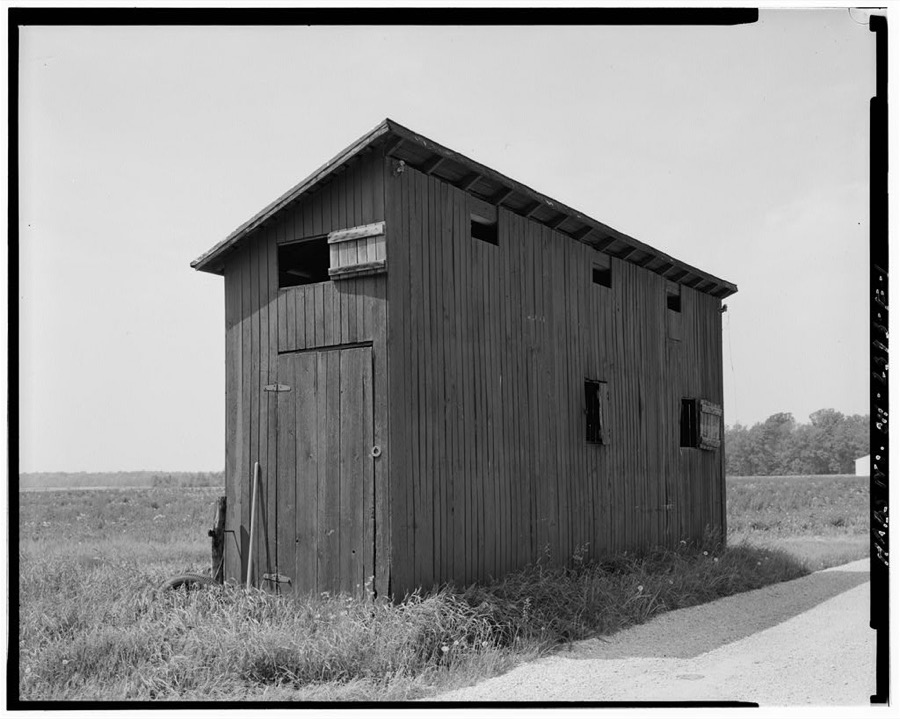
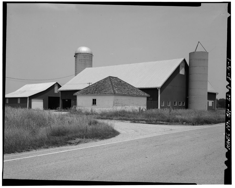
8 photographs,Taken for the Office of War Information and the Farm Security Administration, who photographed the country between 1935 and 1944. Works of United States government photographers, with no known restriction on use. Each opens its catalogue record.
Unattributed, . Library of Congress
Unattributed, . Library of Congress
Unattributed, . Library of Congress
Unattributed, . Library of Congress
Unattributed, . Library of Congress
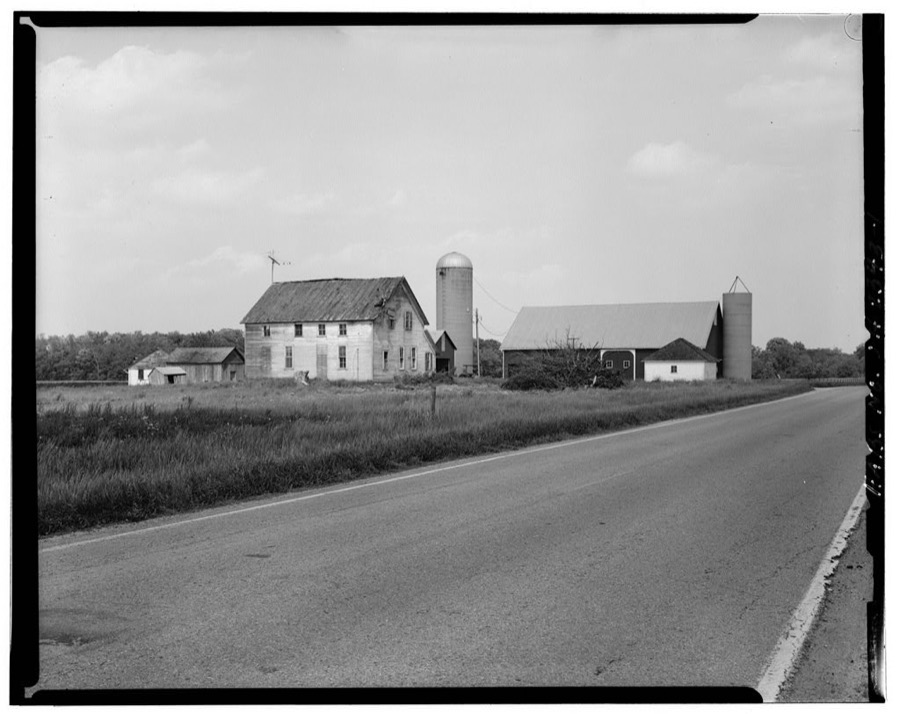
Unattributed, . Library of Congress
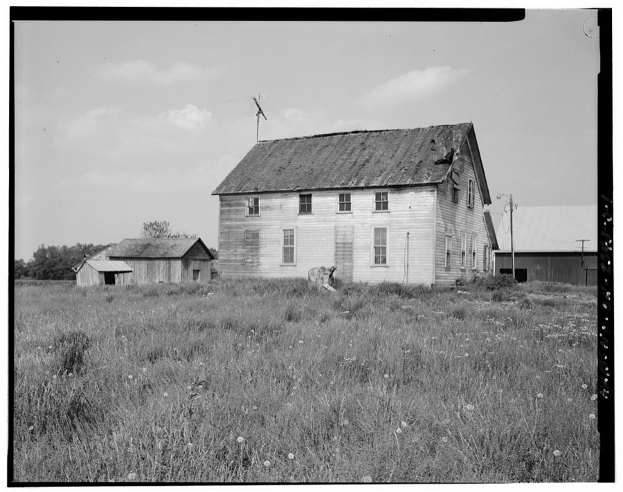
Unattributed, . Library of Congress
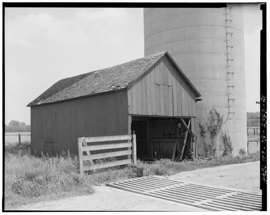
Unattributed, . Library of Congress
Specimens collected near this place
12 of 874 shownRegional context, not property-specific evidence. Museums hold 874 specimens collected within 10 miles of New Knoxville between 1800 and 1974: 775 Animalia, 98 Plantae, 1 Bacteria. 12 distinct Species records are shown. Collected by A. Wetzstein, Adler, K. K., Albert Wetzstein and others. Each is a physical object with a catalogue number, and each entry opens the museum's record. This is what was collected and kept, not a survey of what lives here - nothing can be concluded from a species being absent.
| Image | Species | Year | Collected by | Where, as recorded |
|---|---|---|---|---|
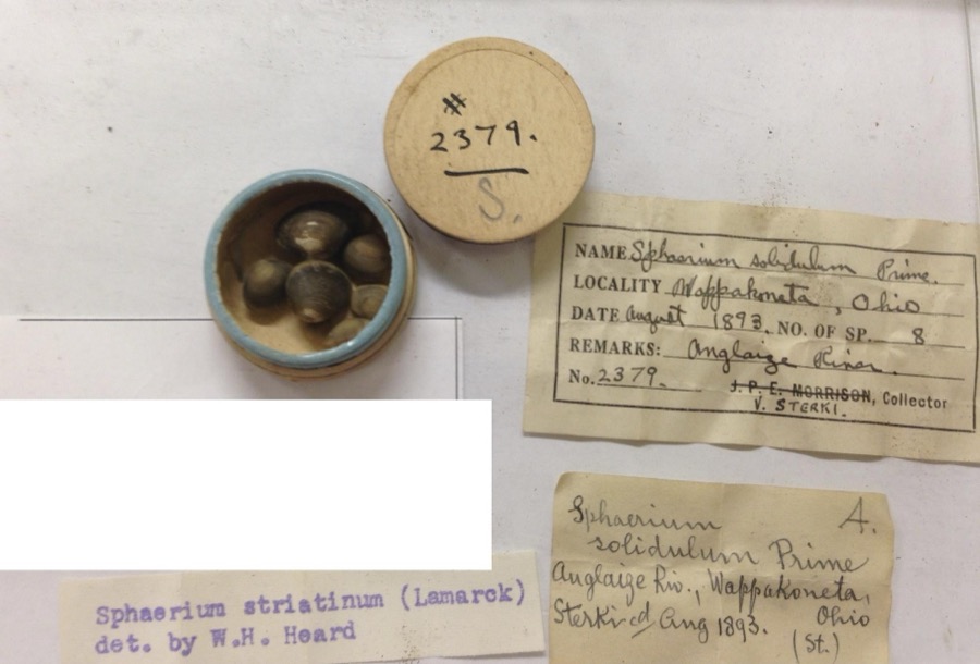 | Sphaerium striatinum (Lamarck, 1818) | 1893 | not recorded | Auglaize River, Wapakoneta [Wappakoneta] |
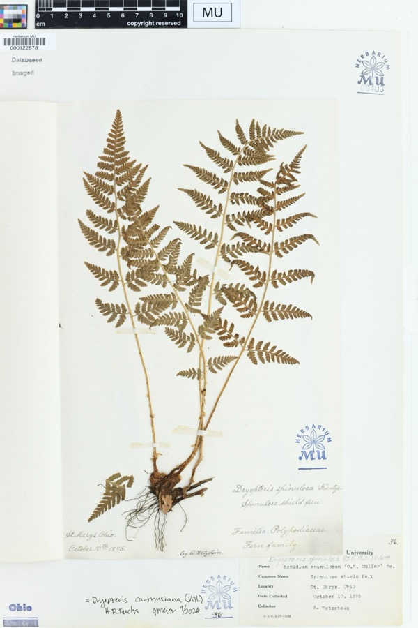 | Dryopteris spinulosa (O.F.Müll.) Watt | 1895 | Wetzstein, A. | St. Marys, Ohio. |
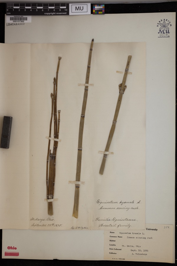 | Equisetum hyemale L. | 1895 | Wetzstein, A. | St. Marys. |
 | Mentha aquatica L. | 1800 | Ballenstedt, B. | Bremen: An der WÅmme in Oberneuland bei Bremen |
 | Recurvirostra americana J.F.Gmelin, 1789 | 1882 | Uller, C. (Clem) | St. Marys Res, Auglaize, Ohio, USA |
 | Geum urbanum L. | 1883 | Baßmann | Bremen: Vegesack, feuchtes, schattiges Gehîlz bei Holthorst, sehr selten |
 | Rubus idaeus L. | 1889 | Meyerholz | Bremen: auf Quellgrund, Torf u. Humus |
 | Stachys aspera Michx. | 1889 | Wilhelm Schibler | Ohio: St. Marys, borders of Canal. |
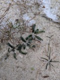 | Lobelia dortmanna L. | 1892 | Wendelken | Bremen: Bremen-Lesum, Lesum |
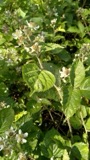 | Rubus condensatus P.J.Müll. | 1892 | Elmgoeth, Fr. | Niedersachsen: Soltau in der Lüneburger Heide |
 | Alasmidonta viridis (Rafinesque, 1820) | 1893 | Sterki, Victor | Wapakoneta |
 | Amblema plicata (Say, 1817) | 1893 | Sterki, Victor | Wapakoneta |
All 874 specimens within 10 miles, at the Global Biodiversity Information Facility.
Mines and quarries near this place
1 within 5 milesRegional context, not property-specific evidence. The federal mineral resources record lists 1 working within 5 miles of New Knoxville: 1 producer. All of them still produce. What was taken out: Stone, Crushed/Broken. Distance is straight-line from the map coordinates, so a quarry counted here may appear on a neighbouring settlement's page as well.
| Where | Site | Commodity | Status | Recorded |
|---|---|---|---|---|
| Con-Ag, Inc. | Stone, Crushed/Broken | Producer |
Storms near this place
13 since 2001Regional context, not property-specific evidence. The National Weather Service names New Knoxville in 13 storm reports between 2001 and 2017: 6 hail, 4 thunderstorm wind, 2 tornado, 1 flood. No death or injury is recorded in these reports. Each account below is quoted exactly as the forecast office filed it, from the NOAA Storm Events Database, and each date opens the federal record of that event.
| When | Event | Place named | Harm | What the report says |
|---|---|---|---|---|
| August 2006 | Tornado (F0) | New Knoxville | $100,000 | A tornado moved through portions of New Knoxville. Minor damage occurred to numerous homes, and several trees were knocked down along the path of the tornado. Some of the debris was deposited on a runway at Neil Armstrong Airport. |
| May 2006 | Tornado (F0) | New Knoxville | $10,000 | A cold air funnel touched down briefly near New Knoxville. A garage had its roof blown off, and several power poles were knocked down. Large tree limbs were also downed. |
| August 2007 | Thunderstorm Wind | New Knoxville | $5,000 | A farm building sustained minor roof damage. Power lines were also downed. |
| August 2007 | Thunderstorm Wind | New Knoxville | $4,000 | One tree and several large limbs were downed. One of the limbs blocked a road on the west side of Wapakoneta. |
| August 2007 | Thunderstorm Wind | New Knoxville | $3,000 | Power poles and lines were down. |
| June 2004 | Hail | New Knoxville | $3,000 | Power poles were also knocked down. |
| July 2003 | Thunderstorm Wind | New Knoxville | $2,000 | Large tree limbs were knocked down. |
| July 2017 | Flood | New Knoxville | - | High water was reported near the intersection of East Shelby Road and Holtkamp Road. |
| May 2012 | Hail | New Knoxville | - | no account filed |
| May 2012 | Hail | New Knoxville | - | no account filed |
| May 2006 | Hail | New Knoxville | - | no account filed |
| May 2001 | Hail | New Knoxville | - | no account filed |
| May 2001 | Hail | New Knoxville | - | no account filed |
Nearest settlements
The eight closest, with where each one stands in the county. Distances are straight-line, computed from the Geographic Names Information System coordinates.
| Map | Place | Distance | Sheets |
|---|---|---|---|
| Lock Two | 4.1 miles | 15 | |
| Moulton | 4.4 miles | 14 | |
| Bay (historical) | 4.6 miles | 14 | |
| Saint Marys | 5.2 miles | 14 | |
| New Bremen | 5.2 miles | 13 | |
| Bulkhead | 6.0 miles | 14 | |
| Glynwood | 6.2 miles | 14 | |
| Paradise Court | 6.3 miles | 14 |
Elsewhere
Matched on this settlement's Geographic Names Information System number rather than its name, so it cannot be a different place of the same name in another state.
| Wikipedia article on New Knoxville | An encyclopaedic summary. Its text is share-alike, so it is linked here rather than copied. |
| Wikidata item Q1982728 | The structured record the population and elevation above come from. Public domain (CC0). |
Provenance
This settlement is recorded in the Geographic Names Information System as feature 1065123. The sheet list is computed by point-in-boundary test against the United States Geological Survey's historical topographic inventory. Both are works of the United States government and carry no copyright under 17 U.S.C. 105.
Specimens. Global Biodiversity Information Facility (GBIF), https://www.gbif.org/. Only records licensed CC0 or CC BY are used. Records licensed CC BY-NC are excluded because this site carries advertising. Images are checked individually and any whose licence is non-commercial, no-derivatives or unreadable is refused.
Mines and quarries. USGS Mineral Resources Data System (MRDS) https://mrdata.usgs.gov/mrds/ A work of the United States government, no copyright under 17 U.S.C. 105.
Storms. NOAA National Centers for Environmental Information, Storm Events Database https://www.ncei.noaa.gov/stormevents/ A work of the United States government, no copyright under 17 U.S.C. 105. Narratives are quoted verbatim from the National Weather Service report and are not edited or summarised.