 Block
Block
New Bremen, Ohio
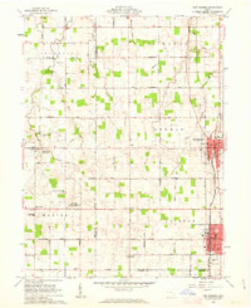
13 topographic sheets cover this place, the earliest surveyed in 1909 and the latest in 1986. It stands in German Township. It lies in ZIP code area 45869. The Survey maps it on the New Bremen quadrangle. 3,034 people lived here at the 2020 count. It stands 945 feet above sea level.
Population over time
2 figuresNew Bremen grew from 2,978 to 3,034 between 2010 and 2020. These are the recorded population figures Wikidata holds for this place, reached through the Geographic Names Information System number this page is keyed on rather than by name, so they belong to this place and not to another of the same name. Most are census counts, but not all are: an early figure may be a founding or settlement estimate. The change column is computed, and is left blank where more than 20 years separate a figure from the one before it, because a gap that long is not a change between two counts.
| Year | People | Change |
|---|---|---|
| 2010 | 2,978 | |
| 2020 | 3,034 | +56 (+2%) |
Then and now
1909 to 1986The same ground, surveyed 77 years apart. Drag the handle to wipe between them. Both sheets are United States Geological Survey originals; neither has been altered.

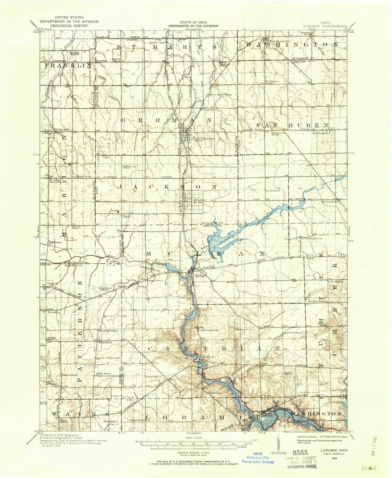
Topographic sheets covering this place
13 sheetsMatched by testing this settlement's coordinate against the published boundary of every sheet in the United States Geological Survey's historical collection. Each opens the scanned sheet at the Survey.
- 1909 USGS Loramie quadrangle1:62500
- 1911 USGS Loramie quadrangle1:62500
- 1944 USGS Loramie quadrangle1:62500
- 1953 USGS Muncie quadrangle1:250000
- 1953 USGS Muncie quadrangle1:250000
- 1953 USGS Muncie quadrangle1:250000
- 1953 USGS Muncie quadrangle1:250000
- 1953 USGS Muncie quadrangle1:250000
- 1956 USGS Muncie quadrangle1:250000
- 1961 USGS New Bremen quadrangle1:24000
- 1986 USGS Piqua quadrangle1:100000
- 1986 USGS Piqua quadrangle1:100000
- 1986 USGS Piqua quadrangle1:100000









In the county-history sources
7,203 words on this townshipHistory of Western Ohio and Auglaize County, with Illustrations and Biographical Sketches of Pioneers and Prominent Public Men, published 1905 names this settlement in its chapter on German Township. These are the passages that mention it, exactly as the scans read.
Range four east. Three years later (in 1851) for the convenience of the sparsely settled portions of the township at Minster and New Bremen, it was divided into two election precincts. In 1858 the township was divided by the erection of Jackson township, whereby German township was reduced in area to eighteen square miles.
Passage source: History of Western Ohio and Auglaize County, with Illustrations and Biographical Sketches of Pioneers and Prominent Public Men, published 1905.
In 1835 many of the German township settlers went to Indiana and worked on the Wabash canal. Some of them accumulated a sufficient amount of money to purchase farms for themselves. In the same year (1835) a postoffice was established, and the name of the town changed to New Bremen to distinguish it from another Bremen within the State. The only place of business of any importance in the township at that time was the grist mill owned by J. H. Kuenning, and was located a mile and a half north of New Bremen. This horse mill was the only one within a radius of several miles. The old horse mill at St. Mary's and the Quaker mill at Wapakoneta were the next nearest points where grinding was done.
Passage source: History of Western Ohio and Auglaize County, with Illustrations and Biographical Sketches of Pioneers and Prominent Public Men, published 1905.
The prosperity of the township dates from the commencement of work upon the Miami canal in 1848. Two years later a warehouse and water mill were established at New Bremen, adding greatly to the improvement of business and enterprise.
Passage source: History of Western Ohio and Auglaize County, with Illustrations and Biographical Sketches of Pioneers and Prominent Public Men, published 1905.
Machine-read from a century-old scan, so expect the errors a machine makes: misspelled names, dropped words, stray characters.
Read the whole chapter on German Township - it names this place 26 more 26 times.
Photographs
1 photograph,Taken for the Office of War Information and the Farm Security Administration, who photographed the country between 1935 and 1944. Works of United States government photographers, with no known restriction on use. Each opens its catalogue record.
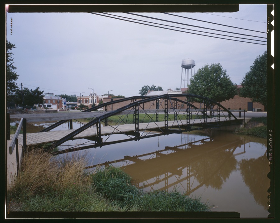
Unattributed, . Library of Congress
Specimens collected near this place
12 of 540 shownRegional context, not property-specific evidence. Museums hold 540 specimens collected within 10 miles of New Bremen between 1800 and 1974: 444 Animalia, 95 Plantae, 1 Bacteria. 12 distinct Species records are shown. Collected by A. Wetzstein, Albert Wetzstein, Anonymous collector s.n. "91" [1898-08-30] and others. Each is a physical object with a catalogue number, and each entry opens the museum's record. This is what was collected and kept, not a survey of what lives here - nothing can be concluded from a species being absent.
| Image | Species | Year | Collected by | Where, as recorded |
|---|---|---|---|---|
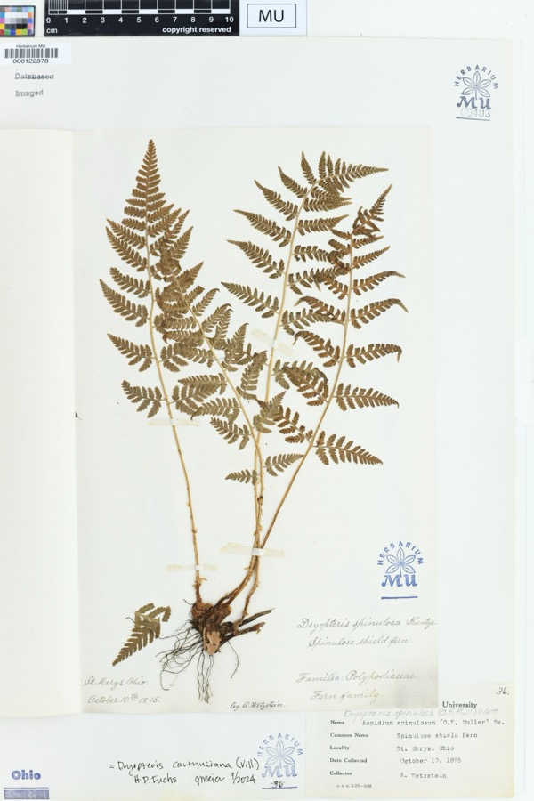 | Dryopteris spinulosa (O.F.Müll.) Watt | 1895 | Wetzstein, A. | St. Marys, Ohio. |
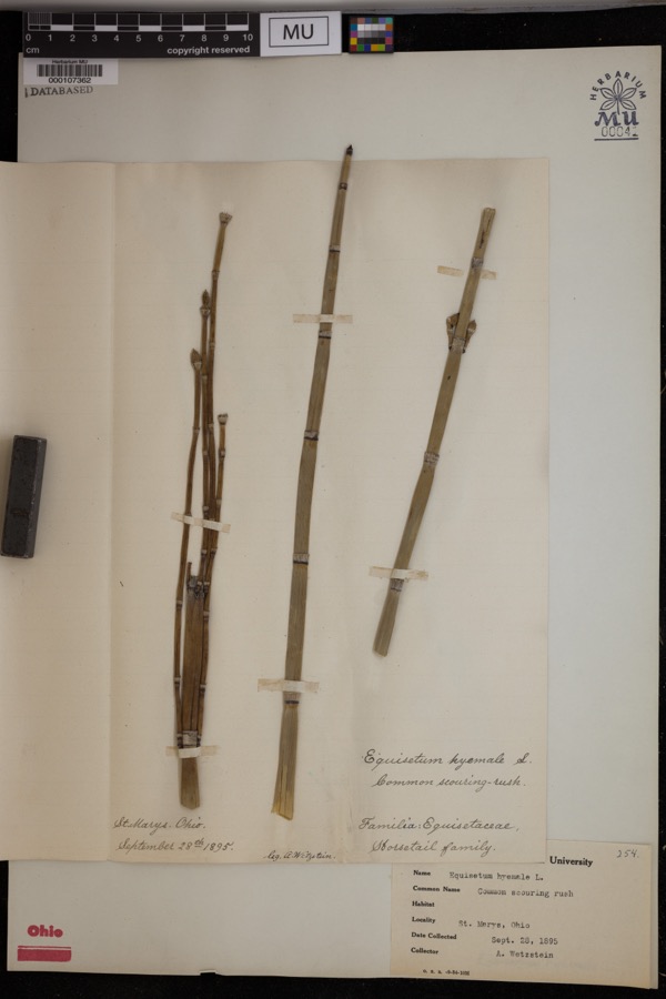 | Equisetum hyemale L. | 1895 | Wetzstein, A. | St. Marys. |
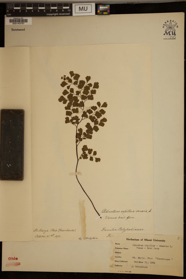 | Adiantum capillus-veneris L. | 1896 | Wetzstein, A. | St. mary's. Greenhouse |
 | Mentha aquatica L. | 1800 | Ballenstedt, B. | Bremen: An der WÅmme in Oberneuland bei Bremen |
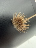 | Geum urbanum L. | 1883 | Baßmann | Bremen: Vegesack, feuchtes, schattiges Gehîlz bei Holthorst, sehr selten |
 | Rubus idaeus L. | 1889 | Meyerholz | Bremen: auf Quellgrund, Torf u. Humus |
 | Stachys aspera Michx. | 1889 | Wilhelm Schibler | Ohio: St. Marys, borders of Canal. |
 | Lobelia dortmanna L. | 1892 | Wendelken | Bremen: Bremen-Lesum, Lesum |
 | Rubus condensatus P.J.Müll. | 1892 | Elmgoeth, Fr. | Niedersachsen: Soltau in der Lüneburger Heide |
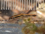 | Erimyzon sucetta (Lacepède, 1803) | 1893 | P. Kirsch | St. Marys |
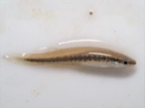 | Fundulus notatus (Rafinesque, 1820) | 1893 | P. Kirsch | St. Marys River, St. Marys, Ohio |
 | Notropis whipplei (Girard, 1856) | 1893 | P. Kirsch | St. Marys River, St. Marys, Ohio |
All 540 specimens within 10 miles, at the Global Biodiversity Information Facility.
Storms near this place
26 since 1994Regional context, not property-specific evidence. The National Weather Service names New Bremen in 26 storm reports between 1994 and 2025: 13 hail, 10 thunderstorm wind, 2 flood, 1 flash flood. No death or injury is recorded in these reports. Each account below is quoted exactly as the forecast office filed it, from the NOAA Storm Events Database, and each date opens the federal record of that event.
| When | Event | Place named | Harm | What the report says |
|---|---|---|---|---|
| May 2015 | Thunderstorm Wind | New Bremen | $5,000 | A camper was destroyed by thunderstorm winds. |
| July 1997 | Thunderstorm Wind | New Bremen | $5,000 | Numerous trees downed. |
| June 1995 | Thunderstorm Wind | New Bremen | $5,000 | A window was blown out of a house, and a storm door was blown off. Several trees were also downed. |
| July 1999 | Thunderstorm Wind | New Bremen | $3,000 | Trees downed. |
| April 2025 | Thunderstorm Wind | New Bremen | $2,000 | Roof shingles were blown off of a building. |
| November 2013 | Thunderstorm Wind | New Bremen | $2,000 | Trees were reported down near New Bremen due to thunderstorm winds. |
| August 2007 | Thunderstorm Wind | New Bremen | $2,000 | Large tree limbs were knocked down. |
| May 2025 | Thunderstorm Wind | New Bremen | $1,000 | A tree was downed and a gutter was torn from a nearby residence. |
| September 2006 | Hail | New Bremen | $1,000 | no account filed |
| April 2025 | Thunderstorm Wind | New Bremen | - | This gust was measured on a private weather station. |
| July 2017 | Flood | New Bremen | - | High water was reported near the intersection of Amsterdam Road and Erie Road. |
| June 2011 | Thunderstorm Wind | New Bremen | - | The spotter estimated the wind gust. |
| July 2006 | Flood | New Bremen | - | Numerous roads, including State Routes 119 and 364, were flooded. |
| July 2003 | Flash Flood | New Bremen | - | Numerous roads were flooded and closed in the southwest part of the county. |
| June 1995 | Hail | New Bremen | - | A window was blown out of a house, and a storm door was blown off. Several trees were also downed. |
| April 2013 | Hail | New Bremen | - | no account filed |
| May 2012 | Hail | New Bremen | - | no account filed |
| June 2011 | Hail | New Bremen | - | no account filed |
| June 2011 | Hail | New Bremen | - | no account filed |
| September 2009 | Hail | New Bremen | - | no account filed |
| May 2004 | Hail | New Bremen | - | no account filed |
| May 2004 | Hail | New Bremen | - | no account filed |
| May 2004 | Hail | New Bremen | - | no account filed |
| April 2003 | Hail | New Bremen | - | no account filed |
| April 1999 | Hail | New Bremen | - | no account filed |
| August 1994 | Hail | New Bremen | - | no account filed |
Newspapers printed here
0 digitised pages1 paper published in this town, digitised by the Library of Congress and free to read: 0 issues, 0 pages. Every page is searchable, so a name or a street can be looked for directly in what the town printed about itself at the time.
| Newspaper | Published |
|---|---|
| Stern Des Westlichen Ohio = Star of Western Ohio | 1874 to 1923 |
Nearest settlements
The eight closest, with where each one stands in the county. Distances are straight-line, computed from the Geographic Names Information System coordinates.
| Map | Place | Distance | Sheets |
|---|---|---|---|
| Lock Two | 1.2 miles | 15 | |
| Minster | 3.0 miles | 13 | |
| Egypt | 4.5 miles | 13 | |
| New Knoxville | 5.2 miles | 15 | |
| Southmoor Shores | 5.9 miles | 14 | |
| Harmons Landing | 6.1 miles | 14 | |
| Bulkhead | 6.2 miles | 14 | |
| Breezewood | 6.2 miles | 14 |
Elsewhere
Matched on this settlement's Geographic Names Information System number rather than its name, so it cannot be a different place of the same name in another state.
| Wikipedia article on New Bremen | An encyclopaedic summary. Its text is share-alike, so it is linked here rather than copied. |
| Wikidata item Q1465092 | The structured record the population and elevation above come from. Public domain (CC0). |
Provenance
This settlement is recorded in the Geographic Names Information System as feature 1065111. The sheet list is computed by point-in-boundary test against the United States Geological Survey's historical topographic inventory. Both are works of the United States government and carry no copyright under 17 U.S.C. 105.
Specimens. Global Biodiversity Information Facility (GBIF), https://www.gbif.org/. Only records licensed CC0 or CC BY are used. Records licensed CC BY-NC are excluded because this site carries advertising. Images are checked individually and any whose licence is non-commercial, no-derivatives or unreadable is refused.
Storms. NOAA National Centers for Environmental Information, Storm Events Database https://www.ncei.noaa.gov/stormevents/ A work of the United States government, no copyright under 17 U.S.C. 105. Narratives are quoted verbatim from the National Weather Service report and are not edited or summarised.