 Block
Block
Montville, Ohio
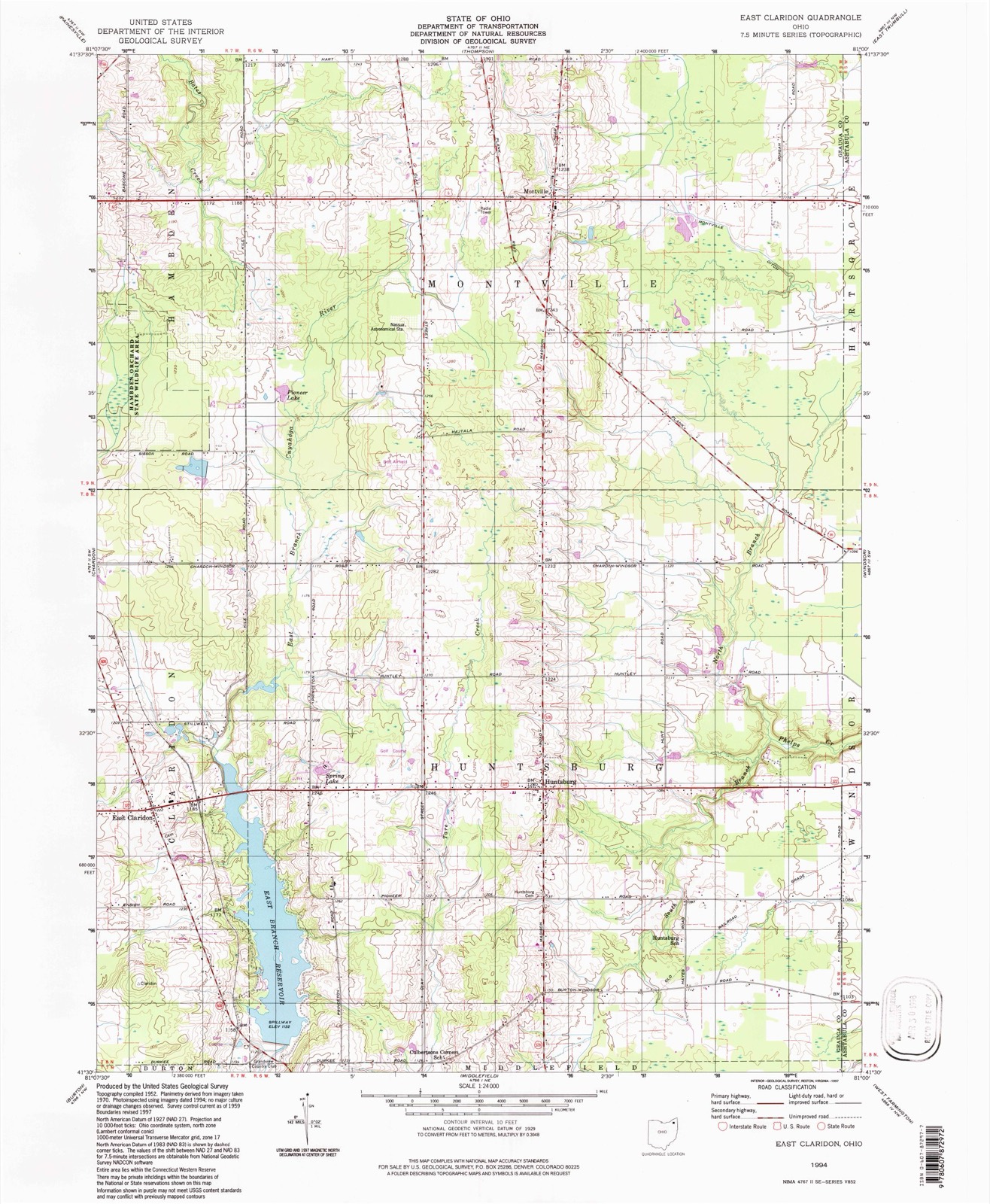
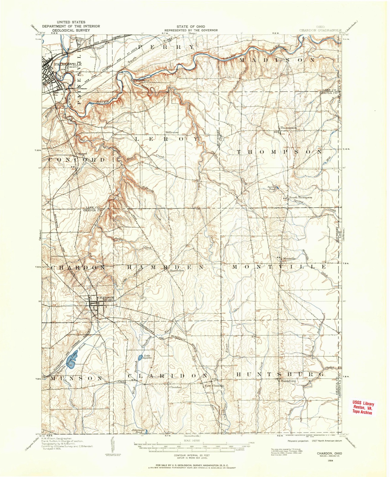
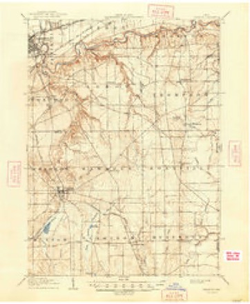
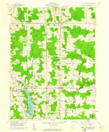
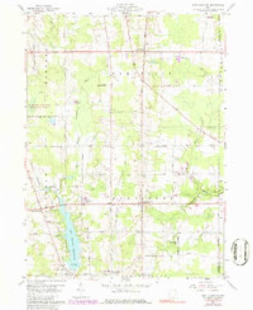
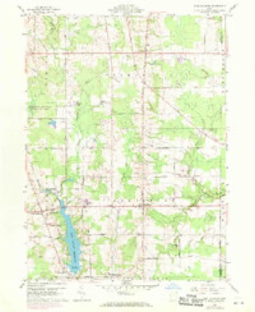
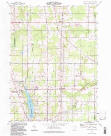
13 topographic sheets cover this place, the earliest surveyed in 1904 and the latest in 1994. It stands in Montville Township. It lies in ZIP code area 44064. The Survey maps it on the East Claridon quadrangle.
Then and now
1904 to 1994The same ground, surveyed 90 years apart. Drag the handle to wipe between them. Both sheets are United States Geological Survey originals; neither has been altered.
Compare 1904 against another survey:
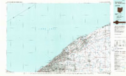
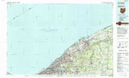
Topographic sheets covering this place
13 sheetsMatched by testing this settlement's coordinate against the published boundary of every sheet in the United States Geological Survey's historical collection. Each opens the scanned sheet at the Survey.
- 1904 USGS Chardon quadrangle1:62500
- 1906 USGS Chardon quadrangle1:62500
- 1906 USGS Chardon quadrangle1:62500
- 1956 USGS Cleveland quadrangle1:250000
- 1956 USGS Cleveland quadrangle1:250000
- 1956 USGS Cleveland quadrangle1:250000
- 1959 USGS East Claridon quadrangle1:24000
- 1959 USGS East Claridon quadrangle1:24000
- 1959 USGS East Claridon quadrangle1:24000
- 1962 USGS Cleveland quadrangle1:250000
- 1985 USGS Cleveland North quadrangle1:100000
- 1994 USGS Cleveland North quadrangle1:100000
- 1994 USGS East Claridon quadrangle1:24000




What happened here
An account from the chapter on Montville township, The inset identifies its exact source book and publication year.
Military
Prior to the organization of the township, all the able-bodied men, between the age of eighteen and forty-five, were required to go, twice a year, to Bondstown, (now Hambden), to perform military duty. James Wintersteen informed me, that on one of those occasions, when he and some others were returning in the evening to their homes, they had to pass through a piece of forest, in the west part of Montville, a panther followed them for a long distance.
In the county-history sources
17,520 words on this townshipPioneer and General History of Geauga County, with Sketches of Some of the Pioneers and Prominent Men, published 1880 names this settlement in its chapter on Montville Township. These are the passages that mention it, exactly as the scans read.
This township, prior to its receiving the appellation of Montville, was known as being township nine, in the sixth range of townships, in the Connecticut Western Reserve, and is supposed by some to be the most elevated of any township in the county. Whether this is true or not, I am not prepared to decide. The geographical features of the surface are variable, the general descent being southerly. The greater portion of the eastern half of the township lies low and level, while the western and northern parts are elevated and gently undulating. Perhaps there may be a section or two, in the extreme north, as high, at least, as any point of land in the county.
Passage source: Pioneer and General History of Geauga County, with Sketches of Some of the Pioneers and Prominent Men, published 1880.
Mr. Stevens remained at his post until the latter part of January, or the fore part of February, 1817, when he, too, on account of the partial failure of crops that year, and the consequent scarcity that followed, was under the necessity of abandoning his new home, at least for awhile, and returning to the older settlements, where he could more readily obtain supplies for his family. He remained in Morgan until May, 1819, when he returned to Montville, and lived for many years, to enjoy the fruits of honest industry, society and friends, that sprang up around him in the latter years of his life.
Passage source: Pioneer and General History of Geauga County, with Sketches of Some of the Pioneers and Prominent Men, published 1880.
Mr. James Wintersteen came and settled in this town, in the month of March, in the year 1819, on land now owned and occupied by his son, Mr. James Wintersteen, in the north part of the township, the highest point of land in Montville, and some think that it is the highest land in the county. He is now seventy-one years of age, hale and hearty as the generality of men at fifty-five or sixty. His memory is unimpaired. He was sixteen years old when his father moved into this town, and remembers distinctly the names of the first settlers and the date of their arrival. Fifty-five years have rolled away since Mr. Wintersteen first took up his abode in the wilderness of Montville ; and all the changes that have intervened since that time, who is adequate to tell? But one thing is certain: the old pioneers of this township have long since passed to "that bourne from whence no traveler returns."
Passage source: Pioneer and General History of Geauga County, with Sketches of Some of the Pioneers and Prominent Men, published 1880.
Machine-read from a century-old scan, so expect the errors a machine makes: misspelled names, dropped words, stray characters.
Read the whole chapter on Montville Township - it names this place 36 more 36 times.
Fires near this place
1 since 2020Regional context, not property-specific evidence. The federal wildfire occurrence database lists 1 fire within 5 miles of Montville between 2020 and 2020, burning about 1 acres in total. None started naturally. None was recorded as arson. Distance is straight-line from the map coordinates, so a fire counted here may appear on a neighbouring settlement's page as well.
| Reported cause | Fires |
|---|---|
| Debris and open burning | 1 |
The most recent of them, most recent first, with the day each was reported and the service that recorded it.
| Date | Cause | Size | Reported by | Name on the report |
|---|---|---|---|---|
| 3 May 2020 | Debris and open burning | 1.0 acres | Ohio Department of Natural Resources | 15714 |
Settlements close enough to share some of these fires:
Specimens collected near this place
12 of 532 shownRegional context, not property-specific evidence. Museums hold 532 specimens collected within 10 miles of Montville between 1885 and 1975: 464 Animalia, 64 Plantae, 4 Fungi. 12 distinct Species records are shown. Collected by A. N. Rood, A.E. Daugherty, Andre F. Clewell and others. Each is a physical object with a catalogue number, and each entry opens the museum's record. This is what was collected and kept, not a survey of what lives here - nothing can be concluded from a species being absent.
| Image | Species | Year | Collected by | Where, as recorded |
|---|---|---|---|---|
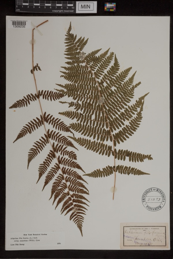 | Athyrium filix-femina var. angustum (Willd.) G.Lawson | 1885 | Werner, Wm. C. | Thompson |
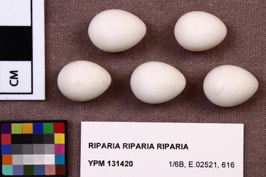 | Riparia riparia riparia (Linnaeus, 1758) | 1891 | Fred Haggart | |
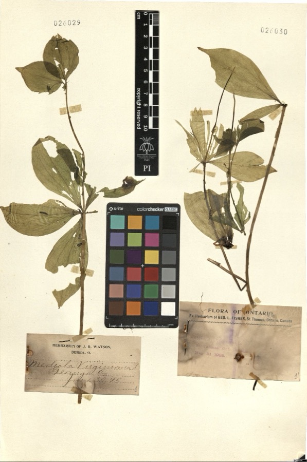 | Medeola virginiana L. | 1895 | Watson,J.R. s.n. [1895-06-30] | [label: Herbarium of J.R. Watson, Berea, O.] Geauga Co. [County] |
 | Cystopteris bulbifera (L.) Bernh. | 1885 | W. C. Werner | Thompson |
 | Cypripedium reginae Walter | 1896 | J. R. Watson | Geauga |
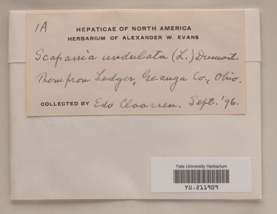 | Scapania undulata (L.) Dumort. | 1896 | Edo N. Claassen | Thompson Ledges |
 | Accipiter cooperii (Bonaparte, 1828) | 1897 | Ray Densmore | Leroy |
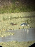 | Butorides virescens virescens (Linnaeus, 1758) | 1897 | Ray Densmore | Leroy, Grand River, swamp |
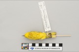 | Dendroica petechia aestiva (J.F.Gmelin, 1789) | 1897 | Ray Densmore | Leroy |
 | Sarracenia purpurea L. | 1897 | J. R. Watson | Geauga |
 | Ammodramus savannarum (J.F.Gmelin, 1789) | 1899 | E. A. Doolittle | Leroy |
 | Buteo jamaicensis borealis (Gmelin, 1788) | 1899 | Ray Densmore | Leroy |
All 532 specimens within 10 miles, at the Global Biodiversity Information Facility.
Mines and quarries near this place
2 within 5 milesRegional context, not property-specific evidence. The federal mineral resources record lists 2 workings within 5 miles of Montville: 1 past producer, 1 producer. 1 still produces. What was taken out: Stone, Crushed/Broken. Distance is straight-line from the map coordinates, so a quarry counted here may appear on a neighbouring settlement's page as well.
| Where | Site | Commodity | Status | Recorded |
|---|---|---|---|---|
| R.W. Sidley Sandstone Quarry | Stone, Crushed/Broken | Past Producer | Sedimentary | |
| R.W. Sidley Sandstone Quarry | Stone, Crushed/Broken | Producer |
Storms near this place
9 since 1996Regional context, not property-specific evidence. The National Weather Service names Montville in 9 storm reports between 1996 and 2021: 6 thunderstorm wind, 2 hail, 1 flash flood. No death or injury is recorded in these reports. Each account below is quoted exactly as the forecast office filed it, from the NOAA Storm Events Database, and each date opens the federal record of that event.
| When | Event | Place named | Harm | What the report says |
|---|---|---|---|---|
| May 2017 | Flash Flood | Montville | $10,000 | Preceding the rainfall on the 28th, a near record breaking wet spring had produced wet antecedent ground conditions across north central Ohio. This set the stage for rapid runoff with any heavy rainfall events. ||Multiple storms with heavy rain moved over portions of northern Geauga and western Ashtabula Counties on the afternoon and evening of May 28th. A rain gauge in Chardon measured 1.40 in 45 minutes with these storms. Heavier rain, south of Chardon, had radar estimates around 3-4 for a storm total.The rain moved in shortly after 4 PM near the Montville community, with radar rainfall rates estimated over 3 per hour. Flash flooding rapidly developed. The most impacted area was in the hilly area between Route 86 and 528 in Montville. Water rises necessitated a water rescue in a home for two individuals, though the water never entered the property. Numerous roads between Montville and Thompson were closed due to flooding, with some minor washouts. |
| July 2016 | Thunderstorm Wind | Montville | $10,000 | Many trees brought down by thunderstorm winds in Montville. |
| June 2002 | Thunderstorm Wind | Montville | $5,000 | Thunderstorm winds downed two trees. |
| December 1996 | Thunderstorm Wind | Montville | $5,000 | no account filed |
| June 2002 | Thunderstorm Wind | Montville | $3,000 | Thunderstorm winds downed a tree near Montville and a large limb in Parkman. |
| April 2006 | Thunderstorm Wind | Montville | $2,000 | Thunderstorm winds downed two trees. |
| July 2021 | Thunderstorm Wind | Montville | - | Several large tree limbs down two-miles north of Montville. |
| May 2006 | Hail | Montville | - | Quarter size hail was obsserved. |
| June 2006 | Hail | Montville | - | Penny size hail was observed. It lasted for several minutes, accumulating enough to cover the ground. |
Nearest settlements
The eight closest, with where each one stands in the county. Distances are straight-line, computed from the Geographic Names Information System coordinates.
| Map | Place | Distance | Sheets |
|---|---|---|---|
| South Thompson | 2.8 miles | 14 | |
| Bostwick | 3.5 miles | 14 | |
| Beardsley (historical) | 4.2 miles | 13 | |
| Huntsburg | 5.0 miles | 13 | |
| Hambden | 5.1 miles | 15 | |
| Chardon | 5.2 miles | 15 | |
| Center Road (historical) | 5.4 miles | 15 | |
| Terrace Glenn Estates | 5.6 miles | 15 |
Elsewhere
Matched on this settlement's Geographic Names Information System number rather than its name, so it cannot be a different place of the same name in another state.
| Wikipedia article on Montville | An encyclopaedic summary. Its text is share-alike, so it is linked here rather than copied. |
| Wikidata item Q6906655 | The structured record the population and elevation above come from. Public domain (CC0). |
Provenance
This settlement is recorded in the Geographic Names Information System as feature 1048983. The sheet list is computed by point-in-boundary test against the United States Geological Survey's historical topographic inventory. Both are works of the United States government and carry no copyright under 17 U.S.C. 105.
Wildfire. Short, Karen C. 2022. Spatial wildfire occurrence data for the United States, 1992-2020 [FPA_FOD_20221014]. 6th Edition. Fort Collins, CO: Forest Service Research Data Archive. https://doi.org/10.2737/RDS-2013-0009.6 Collected with United States Government funding and usable without additional permissions or fees.
Specimens. Global Biodiversity Information Facility (GBIF), https://www.gbif.org/. Only records licensed CC0 or CC BY are used. Records licensed CC BY-NC are excluded because this site carries advertising. Images are checked individually and any whose licence is non-commercial, no-derivatives or unreadable is refused.
Mines and quarries. USGS Mineral Resources Data System (MRDS) https://mrdata.usgs.gov/mrds/ A work of the United States government, no copyright under 17 U.S.C. 105.
Storms. NOAA National Centers for Environmental Information, Storm Events Database https://www.ncei.noaa.gov/stormevents/ A work of the United States government, no copyright under 17 U.S.C. 105. Narratives are quoted verbatim from the National Weather Service report and are not edited or summarised.