 Block
Block
Thompson, Ohio
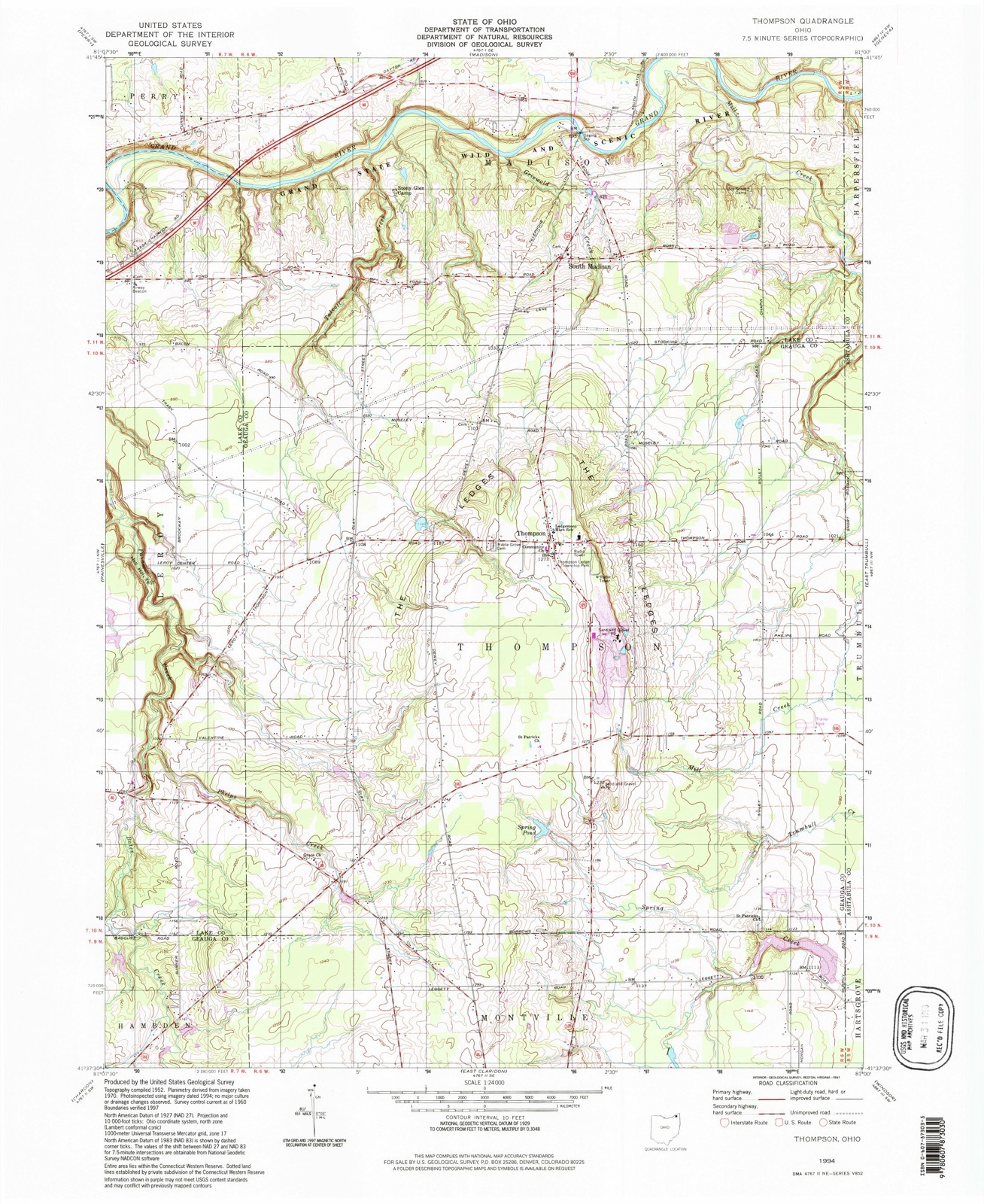
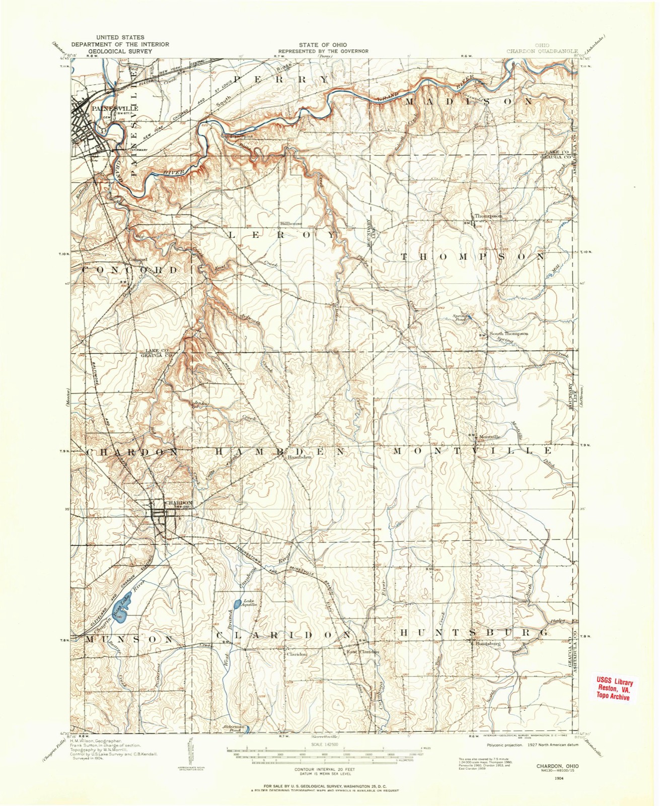
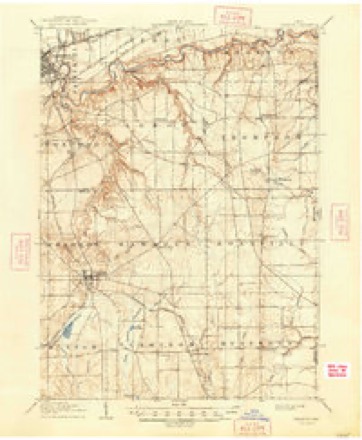
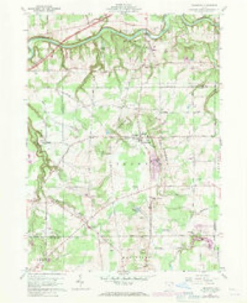
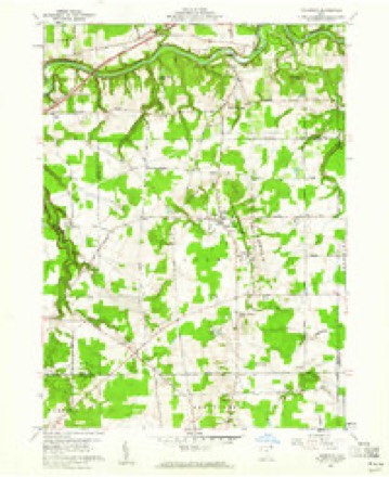
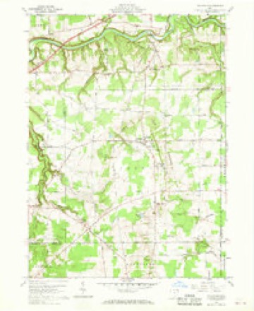
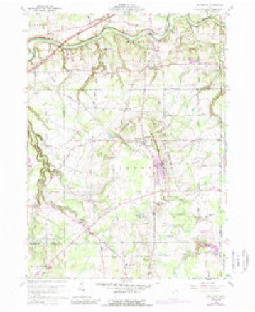
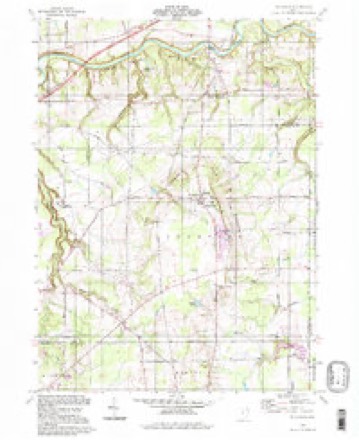
14 topographic sheets cover this place, the earliest surveyed in 1904 and the latest in 1994. It stands in Thompson Township. It lies in ZIP code area 44086. The Survey maps it on the Thompson quadrangle. It stands 1,270 feet above sea level.
Then and now
1904 to 1994The same ground, surveyed 90 years apart. Drag the handle to wipe between them. Both sheets are United States Geological Survey originals; neither has been altered.
Compare 1904 against another survey:
Topographic sheets covering this place
14 sheetsMatched by testing this settlement's coordinate against the published boundary of every sheet in the United States Geological Survey's historical collection. Each opens the scanned sheet at the Survey.
- 1904 USGS Chardon quadrangle1:62500
- 1906 USGS Chardon quadrangle1:62500
- 1906 USGS Chardon quadrangle1:62500
- 1956 USGS Cleveland quadrangle1:250000
- 1956 USGS Cleveland quadrangle1:250000
- 1956 USGS Cleveland quadrangle1:250000
- 1960 USGS Thompson quadrangle1:24000
- 1960 USGS Thompson quadrangle1:24000
- 1960 USGS Thompson quadrangle1:24000
- 1960 USGS Thompson quadrangle1:24000
- 1962 USGS Cleveland quadrangle1:250000
- 1985 USGS Cleveland North quadrangle1:100000
- 1994 USGS Cleveland North quadrangle1:100000
- 1994 USGS Thompson quadrangle1:24000




What happened here
An account from the chapter on Thompson township, The inset identifies its exact source book and publication year.
Old Folks Concert
At the conclusion of the reading, Mr. Bronson exhibited a bassoon, an instrument resembling a double-barreled shot gun, without the stock, used in military bands and orchestras one hundred years ago. This one is supposed to be the first one made in this country, and, in its early days, "went to meeting," and accompanied the hautboys and clarionets, carrying the bass.
In the county-history sources
64,584 words on this townshipPioneer and General History of Geauga County, with Sketches of Some of the Pioneers and Prominent Men, published 1880 names this settlement in its chapter on Thompson Township. These are the passages that mention it, exactly as the scans read.
The county is well diversified with hills and valleys ranging along the water courses. The highest points are on the dividing ridge of highlands, running parallel with the lake shore, and averaging about ten miles from it. The highest point is claimed to be Thompson ledge, in the northeast part of the county. Little mountain, in the northwest corner, is computed to be seven hundred and fifty feet abt>ve Lake Erie - the surface of that lake lies five hundred and sixtyfive feet above the ocean. There are places 'in almost etery township where the summit will not vary much from six hundred feet above the lake. Assum- ing the mean surface to be five hundred feet, it will carry the isothermal lines, representing the climature degrees, much farther north of that belt of land on the lower plane along the south shore of the lake ; thus accounting for the excess of cold, rain and snow over many places, lower, and far to the north. The rule for the decrease of temperature, as we ascend above the earth's surface, is about one degree for ever three hundred and fifty feet.
Passage source: Pioneer and General History of Geauga County, with Sketches of Some of the Pioneers and Prominent Men, published 1880.
The county road from Painesville to the south line of Parkman township, was laid out in 1806. Justice Miner, Noah Page, and Daniel Kellogg, commissioners ; Chester Elliott, surveyor. The road was laid through Chardon and Burton. A remonstrance against adopting the report of the committee, by James Thompson, of Middlefield, and others, was submitted. The commissioners confirmed the repo»t. (For other roads see township histories).
Passage source: Pioneer and General History of Geauga County, with Sketches of Some of the Pioneers and Prominent Men, published 1880.
The foundation for an improved stock of cattle was laid in this county by the introduction of breeding stock, from the east, by Deacon Holbrook, of Kirtland, and Stephen Bassett, esq., of Chester. They were of the long-horn Durhams, or a cross of that breed, and frequently known by the local names of the owners or places from whence they came - as Holbrook, or Bakewell. They were certainly the means of improving the stock in that section, taking the premiums for several years over other kinds of stock. Eleazer Hickox, of Burton, was one of the early enterprising pioneers in the improvement of stock, who bought a fine, full-blooded Devonshire bull, in Philadelphia, about 1823 or 1824, and had him driven home. The journey was accomplished on foot by driver and animal. Thus was commenced a cross of that beautiful, blood-red, active stock, famous for working qualities, and well-known in home and eastern markets. Other enterprising dealers in stock - Hon. Peter Hitchcock, and other associates - have, from time to time, introduced the red Durham c&ttle, thereby perfecting that class of the finest stock, and of superior quality, commanding high prices, of which Burton has been an acknowledged centre. In 1824, Colonel Stephen Ford, of Burtdn, was principal in collecting, fitting up, and driving to Chardon, at the fair, sixty-two yoke of oxen and steers, well broke, and led by a large Devon bull in a yoke fitted for that purpose, which excited universal admiration. Philander Thompson, Alanson and Lester Moffet, of Middlefield; Virgil Barnes, of Huntsburg, and the Messrs. Carrolls, of Munson, are among the number who have introduced blooded stock. Lyman Millard, in 1832, purchased, in Onondaga county, New York, a cow and bull calf of Durham, crossed with some other valuable stock, had them shod, and drove them to his home, in Huntsburg, in person, in the winter time, being six weeks on the road on the account of being detained by snow drifts many times. What does "Young America" think of such an experience? Colonel Erastus Spencer, introduced, from the famous Blue Grass region of Kentucky, the "Land of the Clays," those heavy-quartered, clean-limbed, strawberry-roan Durhams, known as the "Improved Durhams," which were very popular in some sections. At other times he introduced the same breed from the Scioto valley, from wdiich the farmers crossed to great advantage, for beauty, weight, ahd commanding high prices.
Passage source: Pioneer and General History of Geauga County, with Sketches of Some of the Pioneers and Prominent Men, published 1880.
Machine-read from a century-old scan, so expect the errors a machine makes: misspelled names, dropped words, stray characters.
Read the whole chapter on Thompson Township - it names this place 39 more 39 times.
Fires near this place
1 since 2020Regional context, not property-specific evidence. The federal wildfire occurrence database lists 1 fire within 5 miles of Thompson between 2020 and 2020, burning about 1 acres in total. None started naturally. None was recorded as arson. Distance is straight-line from the map coordinates, so a fire counted here may appear on a neighbouring settlement's page as well.
| Reported cause | Fires |
|---|---|
| Debris and open burning | 1 |
The most recent of them, most recent first, with the day each was reported and the service that recorded it.
| Date | Cause | Size | Reported by | Name on the report |
|---|---|---|---|---|
| 3 May 2020 | Debris and open burning | 1.0 acres | Ohio Department of Natural Resources | 15714 |
Settlements close enough to share some of these fires:
Specimens collected near this place
12 of 149 shownRegional context, not property-specific evidence. Museums hold 149 specimens collected within 10 miles of Thompson between 1885 and 1975: 104 Animalia, 42 Plantae, 3 Fungi. 12 distinct Species records are shown. Collected by A. F. Clewell, Andre F. Clewell, Armbruster, D. C. (Daniel C.) and others. Each is a physical object with a catalogue number, and each entry opens the museum's record. This is what was collected and kept, not a survey of what lives here - nothing can be concluded from a species being absent.
| Image | Species | Year | Collected by | Where, as recorded |
|---|---|---|---|---|
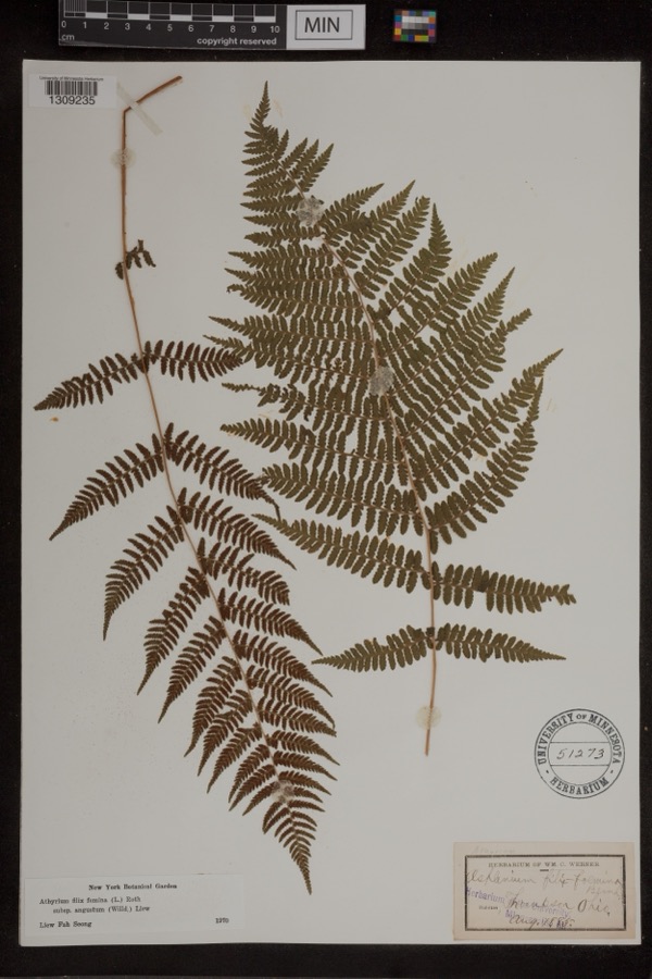 | Athyrium filix-femina var. angustum (Willd.) G.Lawson | 1885 | Werner, Wm. C. | Thompson |
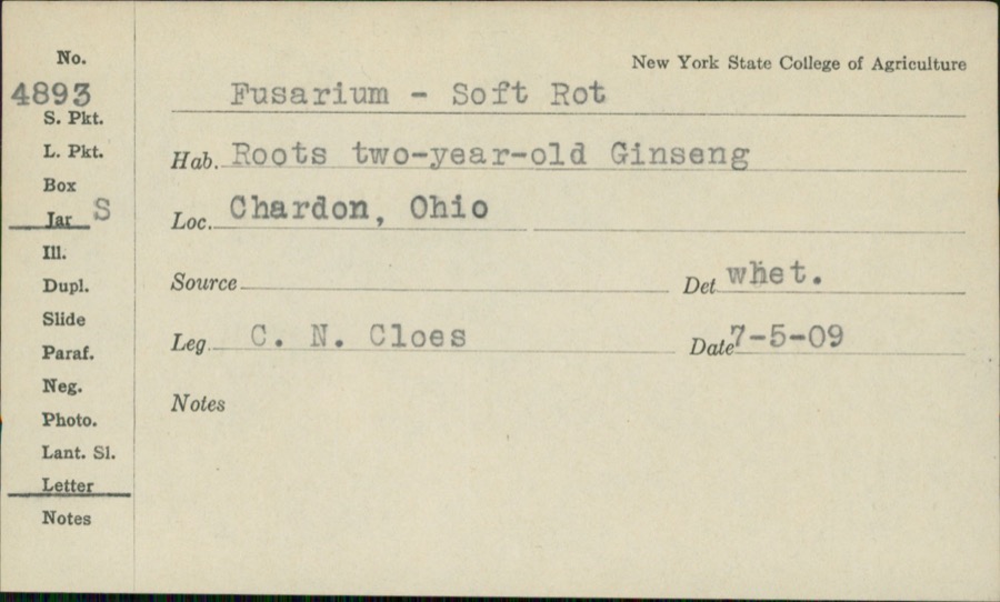 | Fusarium Link, 1809 | 1909 | C.N. Cloes | |
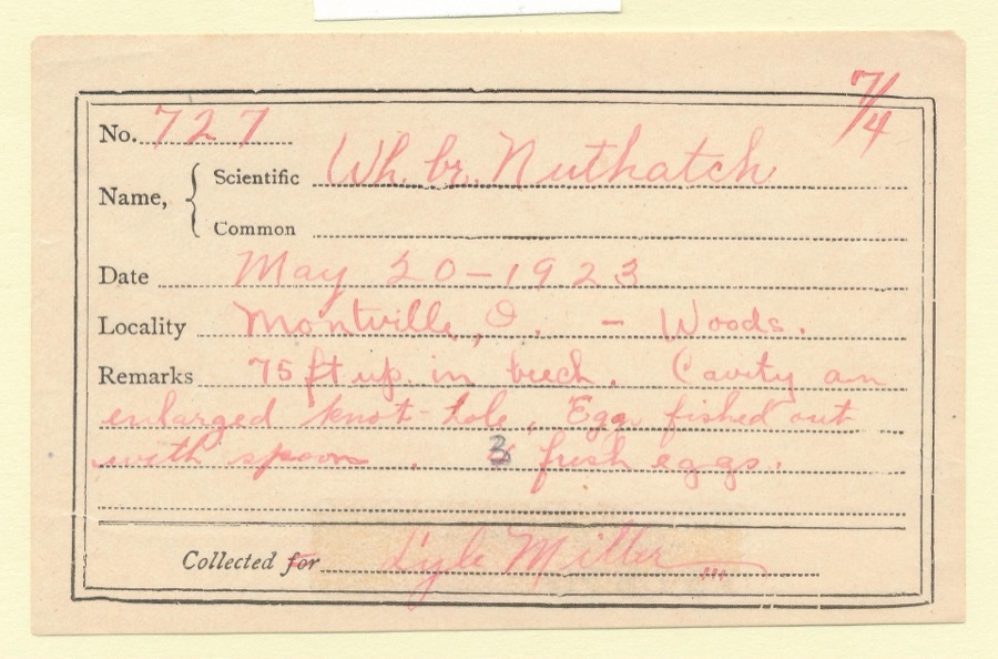 | Sitta carolinensis carolinensis Latham, 1790 | 1923 | Lyle Miller | Montville |
 | Cystopteris bulbifera (L.) Bernh. | 1885 | W. C. Werner | Thompson |
 | Accipiter cooperii (Bonaparte, 1828) | 1897 | Ray Densmore | Leroy |
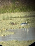 | Butorides virescens virescens (Linnaeus, 1758) | 1897 | Ray Densmore | Leroy, Grand River, swamp |
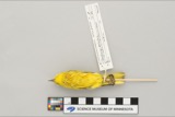 | Dendroica petechia aestiva (J.F.Gmelin, 1789) | 1897 | Ray Densmore | Leroy |
 | Buteo jamaicensis borealis (Gmelin, 1788) | 1898 | E.A. Doolittle | Concord Twnsp, near small stream |
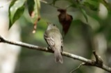 | Empidonax virescens (Vieillot, 1818) | 1898 | for Ray Densmore | Concord |
 | Ammodramus savannarum (J.F.Gmelin, 1789) | 1899 | E. A. Doolittle | Leroy |
 | Galba Schrank, 1803 | 1908 | Collector(s): unknown | Grand River, south of Painesville |
| Alternaria panax Whetzel | 1909 | Eldridge L. P. Mrs. | Chardon |
All 149 specimens within 10 miles, at the Global Biodiversity Information Facility.
Mines and quarries near this place
2 within 5 milesRegional context, not property-specific evidence. The federal mineral resources record lists 2 workings within 5 miles of Thompson: 1 past producer, 1 producer. 1 still produces. What was taken out: Stone, Crushed/Broken. Distance is straight-line from the map coordinates, so a quarry counted here may appear on a neighbouring settlement's page as well.
| Where | Site | Commodity | Status | Recorded |
|---|---|---|---|---|
| R.W. Sidley Sandstone Quarry | Stone, Crushed/Broken | Past Producer | Sedimentary | |
| R.W. Sidley Sandstone Quarry | Stone, Crushed/Broken | Producer |
Storms near this place
6 since 2004Regional context, not property-specific evidence. The National Weather Service names Thompson in 6 storm reports between 2004 and 2023: 3 thunderstorm wind, 2 hail, 1 flash flood. No death or injury is recorded in these reports. Each account below is quoted exactly as the forecast office filed it, from the NOAA Storm Events Database, and each date opens the federal record of that event.
| When | Event | Place named | Harm | What the report says |
|---|---|---|---|---|
| July 2008 | Flash Flood | Thompson | $25,000 | Heavy rainfall of 2 to 3 inches in 1.5 hours produced flash flooding across northern Geauga county, with many roads north of US 6 reported flooded and closed by law enforcement. |
| August 2019 | Thunderstorm Wind | Thompson | $1,000 | Several trees and power liens were blown down on Dewey Road. |
| March 2023 | Thunderstorm Wind | Thompson | - | Estimated 60 mph peak gust from thunderstorm in Thompson. |
| July 2021 | Thunderstorm Wind | Thompson | - | Trees down in Thompson. |
| June 2006 | Hail | Thompson | - | Quarter size hail was observed. |
| June 2004 | Hail | Thompson | - | Penny size hail was observed. |
Nearest settlements
The eight closest, with where each one stands in the county. Distances are straight-line, computed from the Geographic Names Information System coordinates.
| Map | Place | Distance | Sheets |
|---|---|---|---|
| Calm (historical) | 2.6 miles | 14 | |
| South Thompson | 2.9 miles | 14 | |
| Bostwick | 3.2 miles | 14 | |
| Montville | 5.7 miles | 13 | |
| Chardon | 7.4 miles | 15 | |
| Hambden | 7.7 miles | 15 | |
| Terrace Glenn Estates | 8.1 miles | 15 | |
| West Bass Lake | 8.9 miles | 15 |
Elsewhere
Matched on this settlement's Geographic Names Information System number rather than its name, so it cannot be a different place of the same name in another state.
| Wikipedia article on Thompson | An encyclopaedic summary. Its text is share-alike, so it is linked here rather than copied. |
| Wikidata item Q44472888 | The structured record the population and elevation above come from. Public domain (CC0). |
Provenance
This settlement is recorded in the Geographic Names Information System as feature 1047029. The sheet list is computed by point-in-boundary test against the United States Geological Survey's historical topographic inventory. Both are works of the United States government and carry no copyright under 17 U.S.C. 105.
Wildfire. Short, Karen C. 2022. Spatial wildfire occurrence data for the United States, 1992-2020 [FPA_FOD_20221014]. 6th Edition. Fort Collins, CO: Forest Service Research Data Archive. https://doi.org/10.2737/RDS-2013-0009.6 Collected with United States Government funding and usable without additional permissions or fees.
Specimens. Global Biodiversity Information Facility (GBIF), https://www.gbif.org/. Only records licensed CC0 or CC BY are used. Records licensed CC BY-NC are excluded because this site carries advertising. Images are checked individually and any whose licence is non-commercial, no-derivatives or unreadable is refused.
Mines and quarries. USGS Mineral Resources Data System (MRDS) https://mrdata.usgs.gov/mrds/ A work of the United States government, no copyright under 17 U.S.C. 105.
Storms. NOAA National Centers for Environmental Information, Storm Events Database https://www.ncei.noaa.gov/stormevents/ A work of the United States government, no copyright under 17 U.S.C. 105. Narratives are quoted verbatim from the National Weather Service report and are not edited or summarised.