 Block
Block
Chardon, Ohio
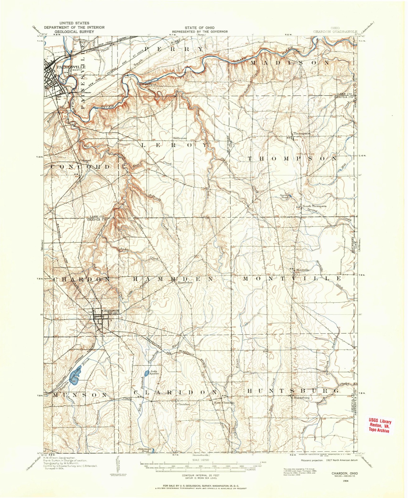
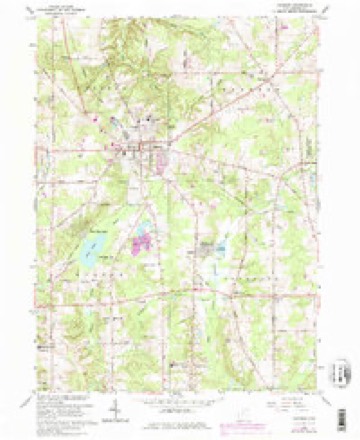
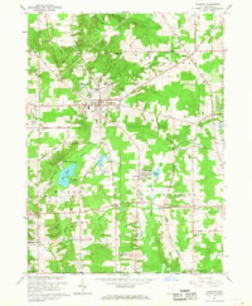
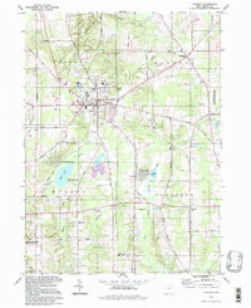
15 topographic sheets cover this place, the earliest surveyed in 1904 and the latest in 1994. It stands in Hambden Township. It lies in ZIP code area 44024. It stands on Wooddin Hill. The Survey maps it on the Chardon quadrangle. 5,242 people lived here at the 2020 count. It stands 4,262 feet above sea level.
Research this city
This curated hub for Geauga County, Ohio brings together the page's documented record links, visible map or image evidence where published, and routes to related local records.
What is documented here?
Use the page's provenance and linked records to distinguish the source material from the site's navigation and summaries.
How should I cite it?
Open the original record, preserve its repository and identifier, then use the citation tool for this page as a path back to the source.
Where should I go next?
Follow the county or state hub for related places and records, then use the guide for a source-aware research sequence.
Population over time
2 figuresChardon grew from 5,148 to 5,242 between 2010 and 2020. These are the recorded population figures Wikidata holds for this place, reached through the Geographic Names Information System number this page is keyed on rather than by name, so they belong to this place and not to another of the same name. Most are census counts, but not all are: an early figure may be a founding or settlement estimate. The change column is computed, and is left blank where more than 20 years separate a figure from the one before it, because a gap that long is not a change between two counts.
| Year | People | Change |
|---|---|---|
| 2010 | 5,148 | |
| 2020 | 5,242 | +94 (+2%) |
Then and now
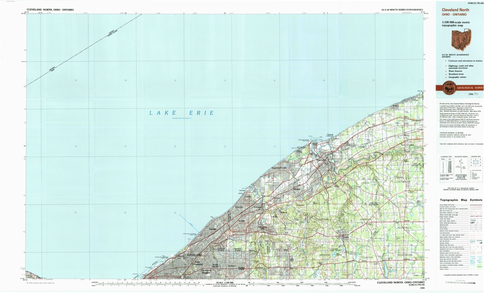
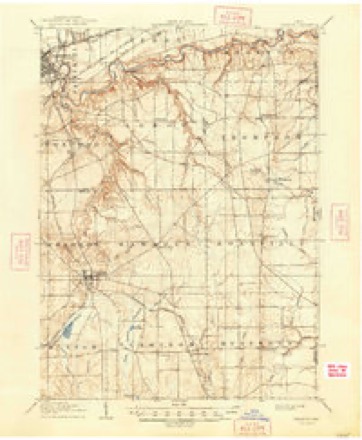
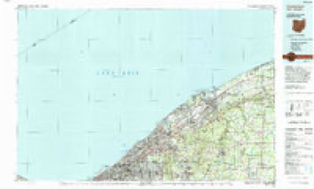
1904 to 1994The same ground, surveyed 90 years apart. Drag the handle to wipe between them. Both sheets are United States Geological Survey originals; neither has been altered.
Topographic sheets covering this place
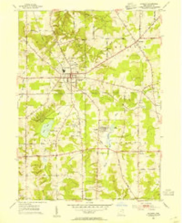
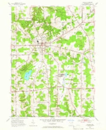
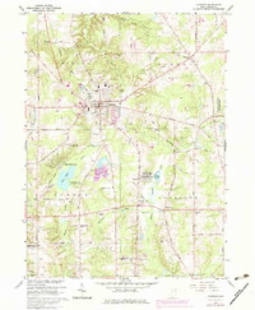
15 sheetsMatched by testing this settlement's coordinate against the published boundary of every sheet in the United States Geological Survey's historical collection. Each opens the scanned sheet at the Survey.
- 1904 USGS Chardon quadrangle1:62500
- 1906 USGS Chardon quadrangle1:62500
- 1906 USGS Chardon quadrangle1:62500
- 1953 USGS Chardon quadrangle1:24000
- 1953 USGS Chardon quadrangle1:24000
- 1956 USGS Cleveland quadrangle1:250000
- 1956 USGS Cleveland quadrangle1:250000
- 1956 USGS Cleveland quadrangle1:250000
- 1962 USGS Cleveland quadrangle1:250000
- 1966 USGS Chardon quadrangle1:24000
- 1966 USGS Chardon quadrangle1:24000
- 1966 USGS Chardon quadrangle1:24000
- 1985 USGS Cleveland North quadrangle1:100000
- 1994 USGS Chardon quadrangle1:24000
- 1994 USGS Cleveland North quadrangle1:100000




What happened here
An account from the chapter on Hambden township, The inset identifies its exact source book and publication year.
Additional Anecdotes And Incidents
Some time in the early settlement of the township, Deacon Pomeroy started in the morning to find his cattle, that had strayed away. He searched the forest through the east part of Hambden, through Thompson and Montville, but found them not. As he was coming home, darkness overtook him near where the Montville road crosses Bates creek, and, at the same time, a pack of hungry wolves, ^hich had probably been following his track for some time, waiting for the darkness, came upon him, with murderous intent.
In the county-history sources
9,111 words on this townshipPioneer and General History of Geauga County, with Sketches of Some of the Pioneers and Prominent Men, published 1880 names this settlement in its chapter on Hambden Township. These are the passages that mention it, exactly as the scans read.
Dr. Bond first came to Hambden in the summer of 1801, to look over his farm of twelve thousand acres, and see how it was situated. At that time it was but little known, except by the savage Indian, and the wild beasts of the forest Dr. Bond made himself a shanty, on the farm now owned by Philo Pease, in the southwest part of the township, about half a mile east of the village of Chardon, on about the spot where the house of Mr. Pease now stands, where he resided alone most of the time during the summer, and did not see a white man once a week, and, according to the doctor's own statement, he milked his cow in a bottle, and baked his bread on a chip.
Passage source: Pioneer and General History of Geauga County, with Sketches of Some of the Pioneers and Prominent Men, published 1880.
In the fall of 1811 a new company was formed, containing all the men subject to military duty in Hambden, Chardon, Claridon, Thompson, and Leroy. When General Hull surrendered his army, this company was called out on alarm, and went to Cleveland, being a week or nine days from home. The following are the names of the men and the townships they resided in : From Chardon, Captain Norman Canfield ; Claridon, Lieutenant Allen Humphrey, Ensign Horace Taylor, Sergeant Elijah Douglass, Sergeant Aranda Kellogg, Nathaniel Spencer, Benjamin Andrews, and Allen Spencer; Hambden, Sergeant Chester Elliott, Sergeant Merrick Pease, Anson Pease, Joseph Bond, jr., Daniel Booth, Marvin Booth, John Elliott, jr., Ichabod Pomery, jr., Jesse Hale, Stephen Bond, Hosea King* John Quiggle, Nathaniel King, and Isaiah King; Thompson, Joseph Bartlett, jr., Abner Stockwell, Seth Hulbert, Retire Trask, William Gee, and Eleazar Pomeroy; Leroy, Charles Keneep, Paul Clapp, Spencer Phelps, Benjamin Bates, Caleb Bates, jr., and Joshua Bates. This company returned from Cleveland safe and sound.
Passage source: Pioneer and General History of Geauga County, with Sketches of Some of the Pioneers and Prominent Men, published 1880.
The first hired minister was a Baptist minister by the name of Hanks. He preached half the time in Hambden, and half in Chardon. This was in 1818. The first regular meetings in Hambden were set up by Deacon Ichabod Pomeroy, who, shortly after settling in the township, set up meetings in his own house, when a sermon would be read, and the ordinary religious services connected with public worship were performed. These meetings have been continued ever since, when no minister was present.
Passage source: Pioneer and General History of Geauga County, with Sketches of Some of the Pioneers and Prominent Men, published 1880.
Machine-read from a century-old scan, so expect the errors a machine makes: misspelled names, dropped words, stray characters.
Read the whole chapter on Hambden Township - it names this place 12 more 12 times.
Fires near this place
1 since 2020Regional context, not property-specific evidence. The federal wildfire occurrence database lists 1 fire within 5 miles of Chardon between 2020 and 2020, burning about 1 acres in total. None started naturally. None was recorded as arson. Distance is straight-line from the map coordinates, so a fire counted here may appear on a neighbouring settlement's page as well.
| Reported cause | Fires |
|---|---|
| Debris and open burning | 1 |
The most recent of them, most recent first, with the day each was reported and the service that recorded it.
| Date | Cause | Size | Reported by | Name on the report |
|---|---|---|---|---|
| 3 May 2020 | Debris and open burning | 1.0 acres | Ohio Department of Natural Resources | 15714 |
Settlements close enough to share some of these fires:
Specimens collected near this place
12 of 1,045 shownRegional context, not property-specific evidence. Museums hold 1,045 specimens collected within 10 miles of Chardon between 1885 and 1975: 911 Animalia, 128 Plantae, 6 Fungi. 12 distinct Species records are shown. Collected by A. F. Clewell, A. N. Rood, A.E. Daugherty and others. Each is a physical object with a catalogue number, and each entry opens the museum's record. This is what was collected and kept, not a survey of what lives here - nothing can be concluded from a species being absent.
| Image | Species | Year | Collected by | Where, as recorded |
|---|---|---|---|---|
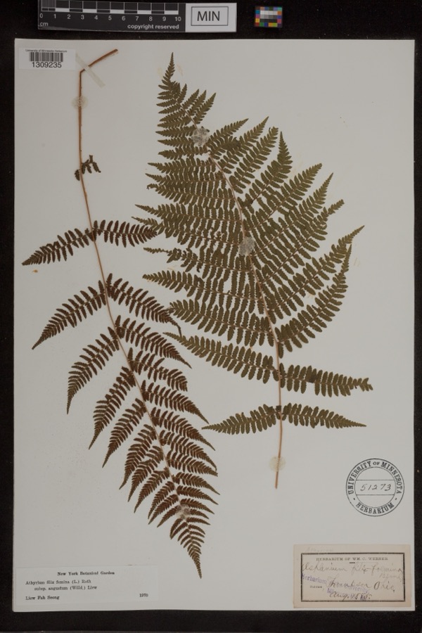 | Athyrium filix-femina var. angustum (Willd.) G.Lawson | 1885 | Werner, Wm. C. | Thompson |
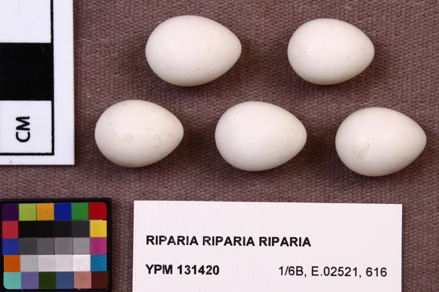 | Riparia riparia riparia (Linnaeus, 1758) | 1891 | Fred Haggart | |
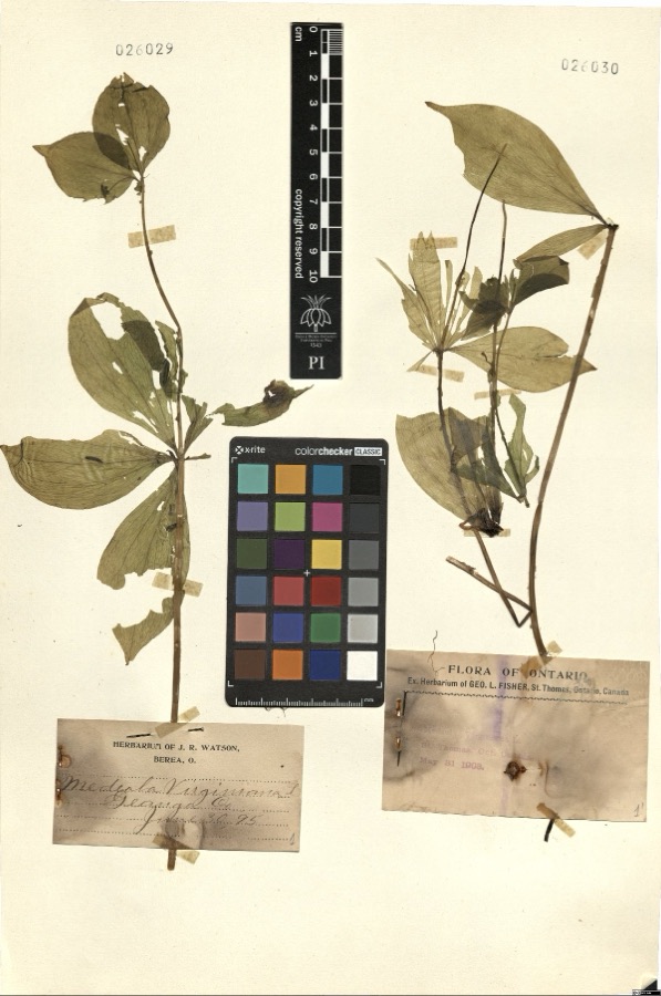 | Medeola virginiana L. | 1895 | Watson,J.R. s.n. [1895-06-30] | [label: Herbarium of J.R. Watson, Berea, O.] Geauga Co. [County] |
 | Cystopteris bulbifera (L.) Bernh. | 1885 | W. C. Werner | Thompson |
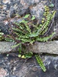 | Asplenium trichomanes L. | 1887 | Leonard, F.E. | Little Mountain. |
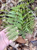 | Dryopteris marginalis (L.) A.Gray | 1887 | Leonard, F.E. | Munson |
 | Melospiza georgiana (Latham, 1790) | 1889 | Collector(s): F. S. Haggart | No specific locality recorded. |
 | Cypripedium reginae Walter | 1896 | J. R. Watson | Geauga |
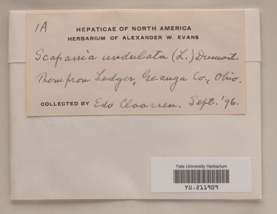 | Scapania undulata (L.) Dumort. | 1896 | Edo N. Claassen | Thompson Ledges |
 | Stachys cordata Riddell | 1896 | Guttenberg, G. | Burton |
 | Accipiter cooperii (Bonaparte, 1828) | 1897 | Ray Densmore | Leroy |
 | Butorides virescens virescens (Linnaeus, 1758) | 1897 | Ray Densmore | Leroy, Grand River, swamp |
All 1,045 specimens within 10 miles, at the Global Biodiversity Information Facility.
Mines and quarries near this place
1 within 5 milesRegional context, not property-specific evidence. The federal mineral resources record lists 1 working within 5 miles of Chardon: 1 producer. All of them still produce. What was taken out: Stone, Crushed/Broken. Distance is straight-line from the map coordinates, so a quarry counted here may appear on a neighbouring settlement's page as well.
| Where | Site | Commodity | Status | Recorded |
|---|---|---|---|---|
| Hambden Quarry | Stone, Crushed/Broken | Producer |
Storms near this place
60 of 72 shownRegional context, not property-specific evidence. The National Weather Service names Chardon in 72 storm reports between 1996 and 2026: 46 thunderstorm wind, 23 hail, 2 flash flood, 1 lightning. No death or injury is recorded in these reports. Each account below is quoted exactly as the forecast office filed it, from the NOAA Storm Events Database, and each date opens the federal record of that event.
| When | Event | Place named | Harm | What the report says |
|---|---|---|---|---|
| May 2010 | Flash Flood | Chardon | $4,500,000 | Slow moving thunderstorms dumped locally heavy rainfall on portions of Lake, Geauga and Cuyahoga Counties. Rainfall rates of between two and three inches per hour caused flash flooding. The worst flooding occurred in Chester Township in northwestern Geauga County. An automated rain gauge just east of Chesterland measured 3.62 inches of rain with most of this rainfall falling between noon and 1:30 pm. Flooding along several streams and small rivers was reported in Chester Township. Extensive flooding was reported in a neighborhood just southwest of the intersection of U.S. Route 322 and State Route 306. Homes along Marilyn Drive and Wyandot Road had up to two feet of water on their ground floors. Several people had to be rescued from their homes. A large portion of the downtown business district in Chesterland saw flood waters at least two feet deep. Extensive damage was reported to most of the businesses. Portions of U.S Route 322 and State Route 306 were washed out. Damage was also reported to several other state routes in the area. Significant flooding was also reported along County Line Road in Chagrin Falls. Dozens of streets had to be briefly closed because of flooding. An 18 year old had to be rescued from the Chagrin River in Russell Township. Flood waters reportedly toppled many trees along the river near where rescue occurred. The West Geauga School District had to cancel classes on June 1st because of flood damage. Hundreds of homes sustained flood damages during this event. Most of the damage was from basement flooding, but a few dozen buildings and homes did sustain major damage. |
| May 2011 | Hail | Chardon | $100,000 | Thunderstorms produced a swath of quarter to golf ball sized hail. Numerous vehicles were damaged by hail. Homes and crops were also damaged as a result of the large hail. |
| May 2011 | Hail | Chardon | $100,000 | Thunderstorms produced a swath of hail ranging in size from penny to half dollar to golf ball. Numerous vehicles and homes were damaged by the large hail. Crops were also damaged as a result of the hail. |
| July 1999 | Thunderstorm Wind | Chardon | $50,000 | Many trees downed across the central portion of the county. Twenty four trees were reported down in Chardon with three homes sustaining minor damage from falling trees. One car was also damaged by a falling tree in Chardon. |
| June 2014 | Thunderstorm Wind | Chardon | $40,000 | Thunderstorm winds caused damaged in Munson Township. Several trees were snapped about 20 feet above the ground. Some roofs in the area were also damaged. |
| November 2002 | Thunderstorm Wind | Chardon | $35,000 | Thunderstorm winds downed many trees and large limbs northeast of Chardon in Hambden Township. |
| November 2013 | Thunderstorm Wind | Chardon | $25,000 | Thunderstorm winds downed several trees in Chardon Township. State Route 87 was blocked by some of the fallen trees. |
| August 2009 | Thunderstorm Wind | Chardon | $25,000 | Trees and utility lines were reported down throughout the county. |
| August 2023 | Thunderstorm Wind | Chardon | $20,000 | Downed tree punctured roof of home in Chardon. |
| July 2013 | Thunderstorm Wind | Chardon | $15,000 | Thunderstorm winds downed several trees across the county. |
| June 2000 | Thunderstorm Wind | Chardon | $15,000 | Thunderstorm winds downed 10 healthy trees in Chardon. |
| June 2015 | Thunderstorm Wind | Chardon | $10,000 | Law enforcement reported several trees down from thunderstorm winds in northern Geauga County with some trees down on Route 6 and Chardon-Windsor. |
| September 2010 | Thunderstorm Wind | Chardon | $10,000 | Thunderstorm winds downed numerous large trees and powerlines near State Route 608 and Brakeman Road. |
| July 2008 | Thunderstorm Wind | Chardon | $10,000 | Thunderstorm winds downed several trees. |
| July 2005 | Thunderstorm Wind | Chardon | $10,000 | Several trees were reported down. |
| October 2000 | Thunderstorm Wind | Chardon | $10,000 | Thunderstorm winds downed many trees. |
| December 2008 | Thunderstorm Wind | Chardon | $6,000 | Several trees were reported down throughout the county. |
| September 2003 | Thunderstorm Wind | Chardon | $6,000 | Thunderstorm winds downed three trees. |
| July 2019 | Thunderstorm Wind | Chardon | $5,000 | A tree fell onto a house causing damaging. |
| August 2009 | Thunderstorm Wind | Chardon | $5,000 | Several large limbs were reported down across the county. |
| June 2000 | Thunderstorm Wind | Chardon | $5,000 | Thunderstorm winds downed a few trees and large limbs. |
| September 1999 | Thunderstorm Wind | Chardon | $5,000 | Two trees downed just north of Chardon. |
| June 2020 | Thunderstorm Wind | Chardon | $4,000 | Chardon Fire Department reports trees and wires down across the city. Locations impacted include: US Route 6 at Auburn Road, Irma Drive, and Battles Court. |
| July 2008 | Thunderstorm Wind | Chardon | $3,000 | Thunderstorm winds downed two trees. |
| August 2008 | Thunderstorm Wind | Chardon | $3,000 | Several large trees were reported down. |
| October 2003 | Thunderstorm Wind | Chardon | $3,000 | Thunderstorm winds downed one tree and one large limb in Chardon Township. |
| May 1998 | Thunderstorm Wind | Chardon | $3,000 | Trees were downed. |
| July 2019 | Thunderstorm Wind | Chardon | $2,000 | A tree fell onto a garage. |
| March 2017 | Thunderstorm Wind | Chardon | $2,000 | Thunderstorm winds downed a tree near Chardon and a second near South Russell. |
| September 2005 | Thunderstorm Wind | Chardon | $2,000 | A few large limbs were reported down. |
| August 1999 | Thunderstorm Wind | Chardon | $2,000 | A tree and a large limb were downed just south of Chardon. |
| July 2022 | Thunderstorm Wind | Chardon | $1,500 | Tree downed onto car at 309 North Hambden Street in Chardon. Driver was not injured. |
| September 2018 | Thunderstorm Wind | Chardon | $1,000 | Thunderstorm winds downed a tree. |
| January 2012 | Thunderstorm Wind | Chardon | $1,000 | Thunderstorm winds downed several large tree limbs. |
| April 2011 | Thunderstorm Wind | Chardon | $1,000 | Thunderstorm winds downed a few large trees. |
| April 2011 | Hail | Chardon | $1,000 | Thunderstorms produced pea sized hail. |
| July 2010 | Thunderstorm Wind | Chardon | $1,000 | Thunderstorm winds downed several large tree branches. |
| August 1996 | Lightning | Chardon | $1,000 | no account filed |
| March 2026 | Thunderstorm Wind | Chardon | - | Healthy tree snapped at the intersection of Mentor Road and OH Route 44 on the northwest side of Chardon. |
| March 2023 | Thunderstorm Wind | Chardon | - | Trees downed at St. Denis Golf Course and power pole downed at intersection of Chardon and Auburn Roads on west side of Chardon. |
| March 2023 | Thunderstorm Wind | Chardon | - | Numerous trees downed about one-mile SSW of Chardon. |
| April 2023 | Thunderstorm Wind | Chardon | - | Large tree was downed and caused collapse of power pole in Chardon. |
| April 2022 | Thunderstorm Wind | Chardon | - | Tree downed along South Street in Chardon and another tree downed in Montville. |
| June 2021 | Thunderstorm Wind | Chardon | - | Trees down at U.S. Route 6 and Calico Lane in Chardon. |
| June 2021 | Thunderstorm Wind | Chardon | - | Numerous trees down at Ravenna Road and Wintergreen Drive in Chardon. One tree fell onto house. |
| July 2020 | Thunderstorm Wind | Chardon | - | Tree down onto power lines in Chardon. Another tree down at 11291 Claridon Troy Road in Aquilla. Yet another tree down on house along Kile Road in Hambden Township. House suffered a hole in its roof. |
| November 2020 | Thunderstorm Wind | Chardon | - | Large tree down and blocking roadway at Ravenna and Hosford Roads in Chardon area. |
| November 2020 | Thunderstorm Wind | Chardon | - | Trees down across roadway at OH-44 and Clark Road about four miles NNW of Chardon. |
| November 2020 | Thunderstorm Wind | Chardon | - | Power poles down at South Street and Randall Court in Chardon. |
| January 2019 | Hail | Chardon | - | Penny-sized hail was reported northwest of Chardon. This report was via a photo on social media. |
| July 2019 | Thunderstorm Wind | Chardon | - | A large tree was reported blown down. |
| May 2013 | Hail | Chardon | - | Quarter sized hail was observed. |
| May 2012 | Hail | Chardon | - | Penny sized hail was observed. |
| June 2011 | Hail | Chardon | - | Penny sized hail was observed. |
| August 2011 | Hail | Chardon | - | Nickel to quarter sized hail was observed. |
| August 2011 | Hail | Chardon | - | Penny sized hail was observed. |
| August 2011 | Hail | Chardon | - | Penny sized hail was observed. |
| May 2011 | Hail | Chardon | - | Thunderstorms produced nickel size hail. |
| May 2010 | Hail | Chardon | - | Quarter sized hail was observed. |
| May 2006 | Hail | Chardon | - | Penny size hail was observed. |
Newspapers printed here
0 digitised pages3 papers published in this town, digitised by the Library of Congress and free to read: 0 issues, 0 pages. Every page is searchable, so a name or a street can be looked for directly in what the town printed about itself at the time.
| Newspaper | Published |
|---|---|
| The Jeffersonian Democrat | 1854 to 1865 |
| The Geauga Republican-Record | 1922 to 1952 |
| Geauga Record | 1952 to 1962 |
What the paper printed
12,809 wordsFront pages of the local paper, read from the Library of Congress scans: 10 issues spread across its run from 1859 to 1962, 12,809 words in total. Each is reproduced on its own page, exactly as the recogniser returned it.
These pages read less well than anything else here, and the number is worth stating: about three words in four come through cleanly, against nine in ten for the building records. An 1896 broadsheet sets eight-point type in seven columns on microfilm, which is the hardest thing in this archive to read by machine. We tested our own recognisers against the Library's and they were not better, so the Library's text is what appears, with the wholly unreadable columns removed. Read it as a guide to what the paper covered, and follow the link to the scan before quoting anything.
| Issue | Paper | Length |
|---|---|---|
| 1859-03-25 | The Jeffersonian Democrat | 2,855 words |
| 1859-06-17 | The Jeffersonian Democrat | 1,459 words |
| 1859-09-02 | The Jeffersonian Democrat | 2,038 words |
| 1859-11-25 | The Jeffersonian Democrat | 1,110 words |
| 1951-10-18 | The Geauga Republican-Record | 938 words |
| 1951-12-06 | The Geauga Republican-Record | 816 words |
| 1952-11-20 | Geauga Record | 745 words |
| 1952-12-04 | Geauga Record | 1,126 words |
| 1952-12-25 | Geauga Record | 722 words |
| 1962-07-12 | Geauga Record | 1,000 words |
Nearest settlements
The eight closest, with where each one stands in the county. Distances are straight-line, computed from the Geographic Names Information System coordinates.
| Map | Place | Distance | Sheets |
|---|---|---|---|
| Hambden | 0.7 miles | 15 | |
| Terrace Glenn Estates | 0.7 miles | 15 | |
| West Bass Lake | 1.6 miles | 15 | |
| East Bass Lake | 2.2 miles | 15 | |
| Aquilla | 2.9 miles | 15 | |
| Clarks | 3.8 miles | 15 | |
| Center Road (historical) | 4.0 miles | 15 | |
| Bostwick | 4.3 miles | 14 |
Elsewhere
Matched on this settlement's Geographic Names Information System number rather than its name, so it cannot be a different place of the same name in another state.
| Wikipedia article on Chardon | An encyclopaedic summary. Its text is share-alike, so it is linked here rather than copied. |
| Wikidata item Q986306 | The structured record the population and elevation above come from. Public domain (CC0). |
Provenance
This settlement is recorded in the Geographic Names Information System as feature 1056789. The sheet list is computed by point-in-boundary test against the United States Geological Survey's historical topographic inventory. Both are works of the United States government and carry no copyright under 17 U.S.C. 105.
Wildfire. Short, Karen C. 2022. Spatial wildfire occurrence data for the United States, 1992-2020 [FPA_FOD_20221014]. 6th Edition. Fort Collins, CO: Forest Service Research Data Archive. https://doi.org/10.2737/RDS-2013-0009.6 Collected with United States Government funding and usable without additional permissions or fees.
Specimens. Global Biodiversity Information Facility (GBIF), https://www.gbif.org/. Only records licensed CC0 or CC BY are used. Records licensed CC BY-NC are excluded because this site carries advertising. Images are checked individually and any whose licence is non-commercial, no-derivatives or unreadable is refused.
Mines and quarries. USGS Mineral Resources Data System (MRDS) https://mrdata.usgs.gov/mrds/ A work of the United States government, no copyright under 17 U.S.C. 105.
Storms. NOAA National Centers for Environmental Information, Storm Events Database https://www.ncei.noaa.gov/stormevents/ A work of the United States government, no copyright under 17 U.S.C. 105. Narratives are quoted verbatim from the National Weather Service report and are not edited or summarised.