 Block
Block
Morning Sun, Ohio
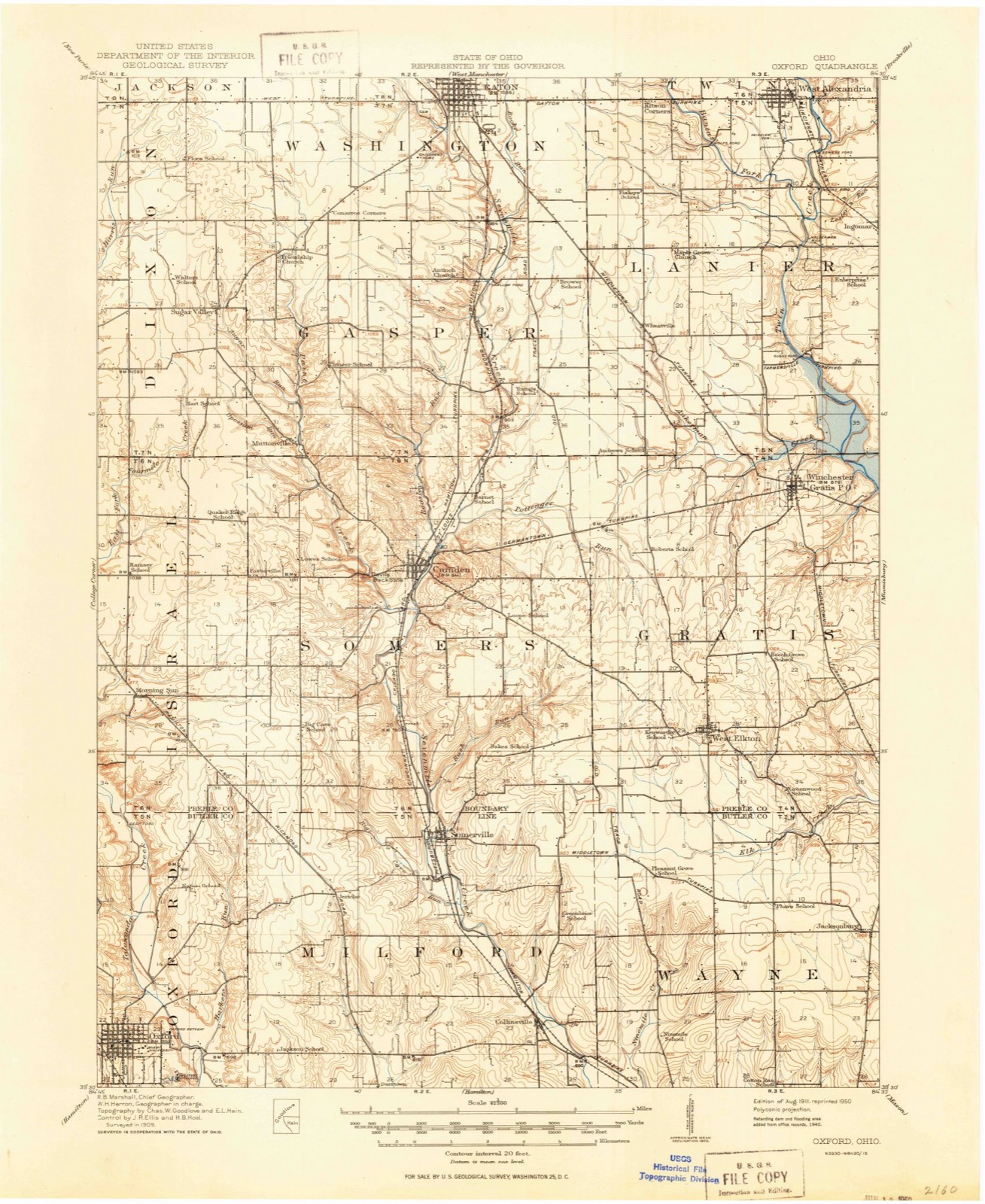
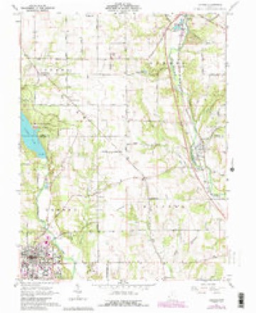
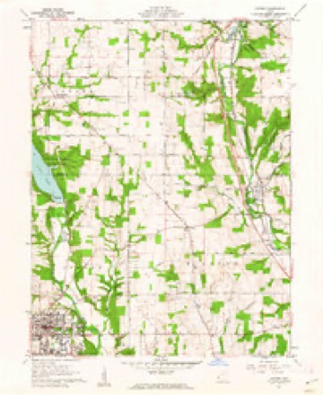
11 topographic sheets cover this place, the earliest surveyed in 1911 and the latest in 1986. It stands in Israel Township. It lies in ZIP code area 45311. The Survey maps it on the Oxford quadrangle.
Then and now
1911 to 1986The same ground, surveyed 75 years apart. Drag the handle to wipe between them. Both sheets are United States Geological Survey originals; neither has been altered.

Compare 1911 against another survey:
Topographic sheets covering this place
11 sheetsMatched by testing this settlement's coordinate against the published boundary of every sheet in the United States Geological Survey's historical collection. Each opens the scanned sheet at the Survey.
- 1911 USGS Oxford quadrangle1:62500
- 1953 USGS Cincinnati quadrangle1:250000
- 1953 USGS Cincinnati quadrangle1:250000
- 1953 USGS Cincinnati quadrangle1:250000
- 1957 USGS Cincinnati quadrangle1:250000
- 1961 USGS Oxford quadrangle1:24000
- 1961 USGS Oxford quadrangle1:24000
- 1961 USGS Oxford quadrangle1:24000
- 1961 USGS Oxford quadrangle1:24000
- 1986 USGS Dayton quadrangle1:100000
- 1986 USGS Dayton quadrangle1:100000






In the county-history sources
5,510 words on this townshipHistory of Preble County Ohio: Her People, Industries and Institutions, published 1915 names this settlement in its chapter on Israel Township. These are the passages that mention it, exactly as the scans read.
No one but a Scotchman, born and bred, and versed in Scottish church history, can tell the difference between some of the churches holding the Presbyterian faith ; but to the members of the various bodies the differences are vital. So those settlers holding the views of the Reformed Presbyterians, or Covenanters, were organized into a church known as the Beech Woods, or Morning Sun, church. Their building was located east of Morning Sun.
Passage source: History of Preble County Ohio: Her People, Industries and Institutions, published 1915.
In 1834 the Covenanter denomination was divided into two parts, known as the Old School and New School. The Morning Sun congregation, with their pastor, the Rev. Garvin McMillan, sided with the New School. But there were those among their number who refused to think with the majority and claimed possession of the house of worship on the grounds that they were the church. The majority they regarded as backsliders. Owe Sabbath morning the conservative party entered the church to hold a service of their own. The doors in the balustrade which surrounded the high, oldfashioned pulpit were closed and Elder Ramsey took .his station beside tlie pulpit and was about to begin the service when the Rev. Mr. McMillan entered the church. Mr. McMillan was not long in reaching the pulpit, where he nimbly swung himself over the balustrade and was in possession. But the day was not yet won. In scathing tones, Mr. Ramsey exqlaimed, "He that entereth not in by the door, but climbeth up some other way, the same is a thief and a robber." But by this time Mr. McMillan had opened the pulpit Bible, and such was their reverence for the Word that the belligerents quietly retired to the school house across the way and left the progressives in posses^ sion of the house of worship. Most of the families of the Old sqhool party subsequently found for themselves new homes in other places among people who worshipped as they did. But one member retired in high dudgeon to his farm. Not wanting to be buried by the side of his backsliding neighbors, he built for himself a burial vault and carved his own tombstone. On this stone he recorded at length his religious views. But, unfortunately, the stone fell and by the accident his leg was broken, from which injury he died soon afterward. His body was laid to rest in the vault of his own building. But he had not reckoned with the ravages of time, and the vault finally crumbled to dust. His remains were removed to Cedarville, Ohio, and the tombstone was ground up by the stone crusher to make road.
Passage source: History of Preble County Ohio: Her People, Industries and Institutions, published 1915.
The Beech Woods congregation united with the United Presbyterian denomination in 1870, and in 1876, together with one hundred members from Hopewell, built a church in the village of Morning Sun. The site of the old church building is marked only by the graves by which it had been surrounded.
Passage source: History of Preble County Ohio: Her People, Industries and Institutions, published 1915.
Machine-read from a century-old scan, so expect the errors a machine makes: misspelled names, dropped words, stray characters.
Read the whole chapter on Israel Township - it names this place 8 more 8 times.
Photographs
1 photograph,Taken for the Office of War Information and the Farm Security Administration, who photographed the country between 1935 and 1944. Works of United States government photographers, with no known restriction on use. Each opens its catalogue record.
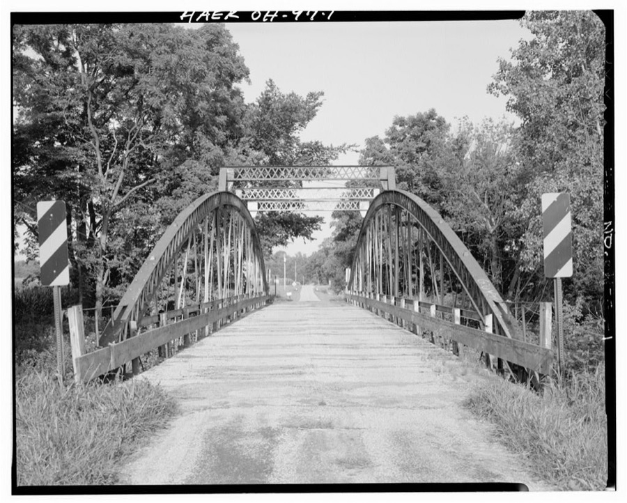
Unattributed, . Library of Congress
Specimens collected near this place
12 of 408 shownRegional context, not property-specific evidence. Museums hold 408 specimens collected within 10 miles of Morning Sun between 1877 and 1975: 169 Animalia, 149 Fungi, 85 Plantae, 5 Protozoa. 12 distinct Species records are shown. Collected by ?, A.L.; Bucholtz, I., Arden R. Gaufin and others. Each is a physical object with a catalogue number, and each entry opens the museum's record. This is what was collected and kept, not a survey of what lives here - nothing can be concluded from a species being absent.
| Image | Species | Year | Collected by | Where, as recorded |
|---|---|---|---|---|
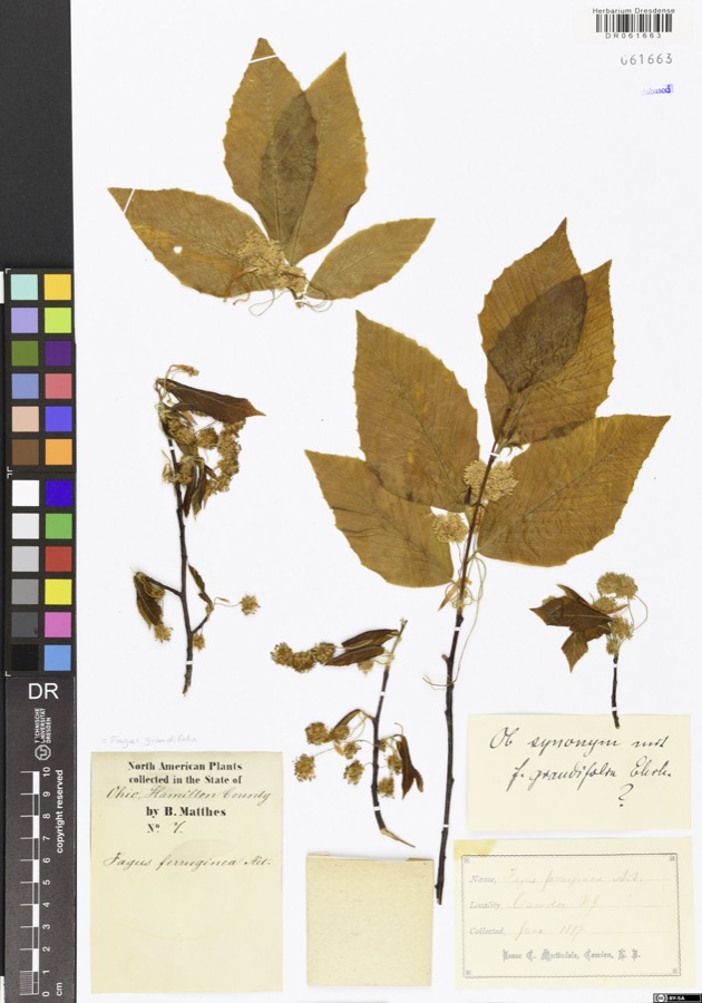 | Fagus grandifolia Ehrh. | 1877 | Matthes,B. | USA, Ohio, Hamilton County, Camden |
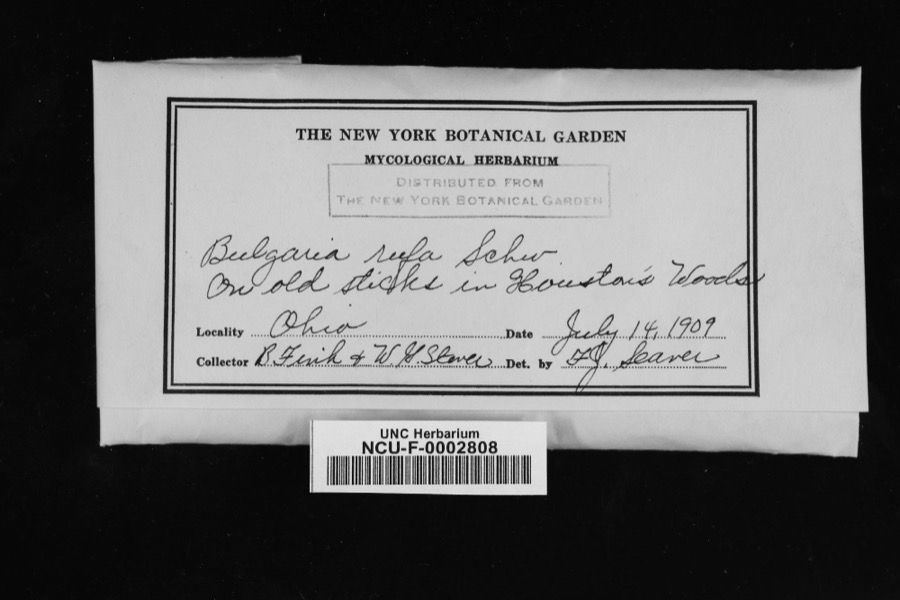 | Bulgaria rufa Schwein. | 1909 | Fink, V.; Steven, W. G. | In Houston's Woods [sic; Hueston Woods State Park, Butler and Preble counties]. |
 | Cenangium ferruginosum Fr. | 1909 | Bruce Fink | |
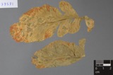 | Ramularia armoraciae Fuckel | 1890 | Elliott E. N. | Morning Sun |
 | Bryum pseudotriquetrum (Hedw.) G.Gaertn., B.Mey. & Scherb. | 1909 | Braun, E. Lucy | Hueston Woods, east of Talawanda Creek |
| Campylium hispidulum (Brid.) Mitt. | 1909 | Braun, E. Lucy | Hueston Woods | |
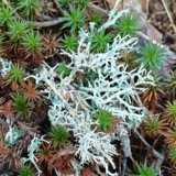 | Cladonia furcata (Huds.) Schrad., 1794 | 1909 | Braun, E. Lucy | Hueston Woods State Park |
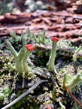 | Cladonia macilenta var. bacillaris (Ach.) Schaer. | 1909 | Braun, E. Lucy | Hueston Woods State Park |
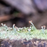 | Cladonia peziziformis (With.) J.R.Laundon | 1909 | Braun, E. Lucy | Hueston Woods State Park |
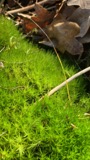 | Dicranum scoparium Hedw. | 1909 | Braun, E. Lucy | Hueston Woods |
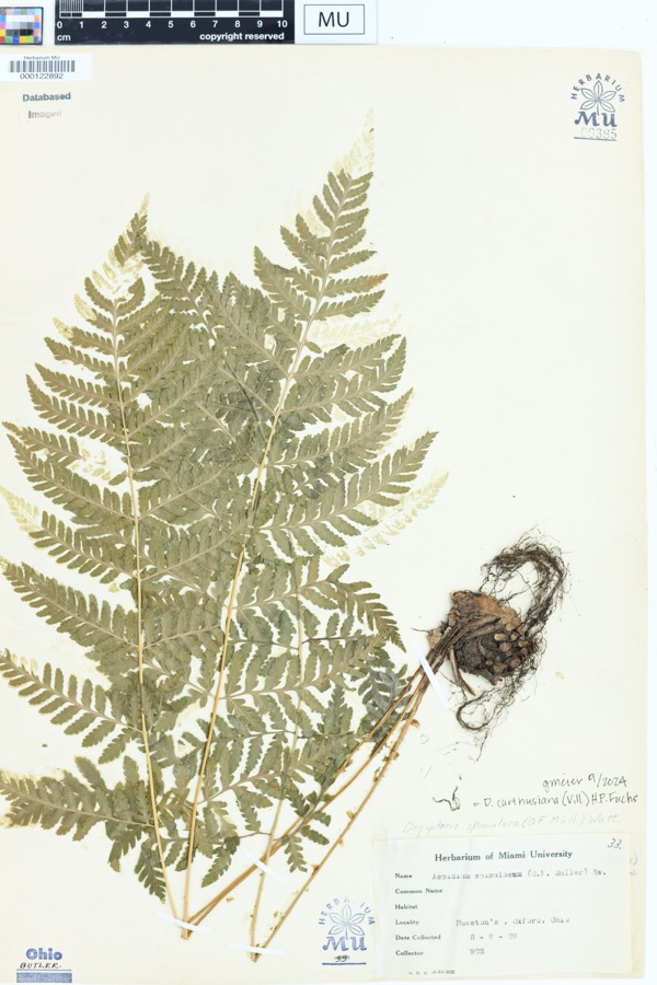 | Dryopteris spinulosa (O.F.Müll.) Watt | 1909 | Stover, W.G. | Hueston Woods, Oxford, Ohio |
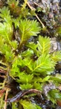 | Fissidens adianthoides Hedw. | 1909 | Braun, E. Lucy | Hueston Woods |
All 408 specimens within 10 miles, at the Global Biodiversity Information Facility.
Mines and quarries near this place
2 within 5 milesRegional context, not property-specific evidence. The federal mineral resources record lists 2 workings within 5 miles of Morning Sun: 1 past producer, 1 producer. 1 still produces. What was taken out: Sand and Gravel, Construction. Distance is straight-line from the map coordinates, so a quarry counted here may appear on a neighbouring settlement's page as well.
| Where | Site | Commodity | Status | Recorded |
|---|---|---|---|---|
| Camden Pit | Sand and Gravel, Construction | Past Producer | Sedimentary | |
| Wysons Gravel Co. | Sand and Gravel, Construction | Producer |
Storms near this place
8 since 2008Regional context, not property-specific evidence. The National Weather Service names Morning Sun in 8 storm reports between 2008 and 2023: 3 flood, 3 thunderstorm wind, 1 flash flood, 1 heavy rain. No death or injury is recorded in these reports. Each account below is quoted exactly as the forecast office filed it, from the NOAA Storm Events Database, and each date opens the federal record of that event.
| When | Event | Place named | Harm | What the report says |
|---|---|---|---|---|
| June 2008 | Flash Flood | Morning Sun | $8,000 | Two homes were flooded in the Lakengren community and several evacuations were needed. Several roads were flooded and closed across southern Preble County, including Morning Sun Road. |
| July 2023 | Thunderstorm Wind | Morning Sun | $4,000 | A few trees were downed in Hueston Woods. |
| July 2023 | Thunderstorm Wind | Morning Sun | $3,000 | A few trees were downed between Morning Sun and College Corner. |
| April 2018 | Thunderstorm Wind | Morning Sun | $2,000 | A large tree and power lines were knocked down on Route 732 near Hueston Woods State Park. |
| July 2021 | Flood | Morning Sun | - | Portions of Main Loop Road and Hedgerow Road were closed due to high water. |
| May 2019 | Flood | Morning Sun | - | High water was reported on roads in the Hueston Woods area. |
| December 2015 | Heavy Rain | Morning Sun | - | A couple of roads in the Hueston Woods area were reported to have high water on them. |
| December 2013 | Flood | Morning Sun | - | A stream was out of its banks in Hueston Woods State Park due to heavy rainfall. Main Loop Road was closed due to high water near the State Park campground entrance. |
Nearest settlements
The eight closest, with where each one stands in the county. Distances are straight-line, computed from the Geographic Names Information System coordinates.
| Map | Place | Distance | Sheets |
|---|---|---|---|
| Claysburg (historical) | 2.4 miles | 13 | |
| Fosterville | 2.7 miles | 11 | |
| Fairhaven | 3.5 miles | 13 | |
| Talawanda Springs | 3.7 miles | 16 | |
| College Corner | 4.6 miles | 16 | |
| Muttonville | 5.1 miles | 11 | |
| Camden | 5.2 miles | 11 | |
| Sugar Valley | 6.7 miles | 11 |
Provenance
This settlement is recorded in the Geographic Names Information System as feature 1065864. The sheet list is computed by point-in-boundary test against the United States Geological Survey's historical topographic inventory. Both are works of the United States government and carry no copyright under 17 U.S.C. 105.
Specimens. Global Biodiversity Information Facility (GBIF), https://www.gbif.org/. Only records licensed CC0 or CC BY are used. Records licensed CC BY-NC are excluded because this site carries advertising. Images are checked individually and any whose licence is non-commercial, no-derivatives or unreadable is refused.
Mines and quarries. USGS Mineral Resources Data System (MRDS) https://mrdata.usgs.gov/mrds/ A work of the United States government, no copyright under 17 U.S.C. 105.
Storms. NOAA National Centers for Environmental Information, Storm Events Database https://www.ncei.noaa.gov/stormevents/ A work of the United States government, no copyright under 17 U.S.C. 105. Narratives are quoted verbatim from the National Weather Service report and are not edited or summarised.