 Block
Block
Van Buren, Ohio
13 topographic sheets cover this place, the earliest surveyed in 1903 and the latest in 1986. It stands in Allen Township. It lies in ZIP code area 45889. The Survey maps it on the North Baltimore quadrangle. 396 people lived here at the 2020 count.
Population over time
2 figuresVan Buren grew from 328 to 396 between 2010 and 2020. These are the recorded population figures Wikidata holds for this place, reached through the Geographic Names Information System number this page is keyed on rather than by name, so they belong to this place and not to another of the same name. Most are census counts, but not all are: an early figure may be a founding or settlement estimate. The change column is computed, and is left blank where more than 20 years separate a figure from the one before it, because a gap that long is not a change between two counts.
| Year | People | Change |
|---|---|---|
| 2010 | 328 | |
| 2020 | 396 | +68 (+21%) |
Then and now
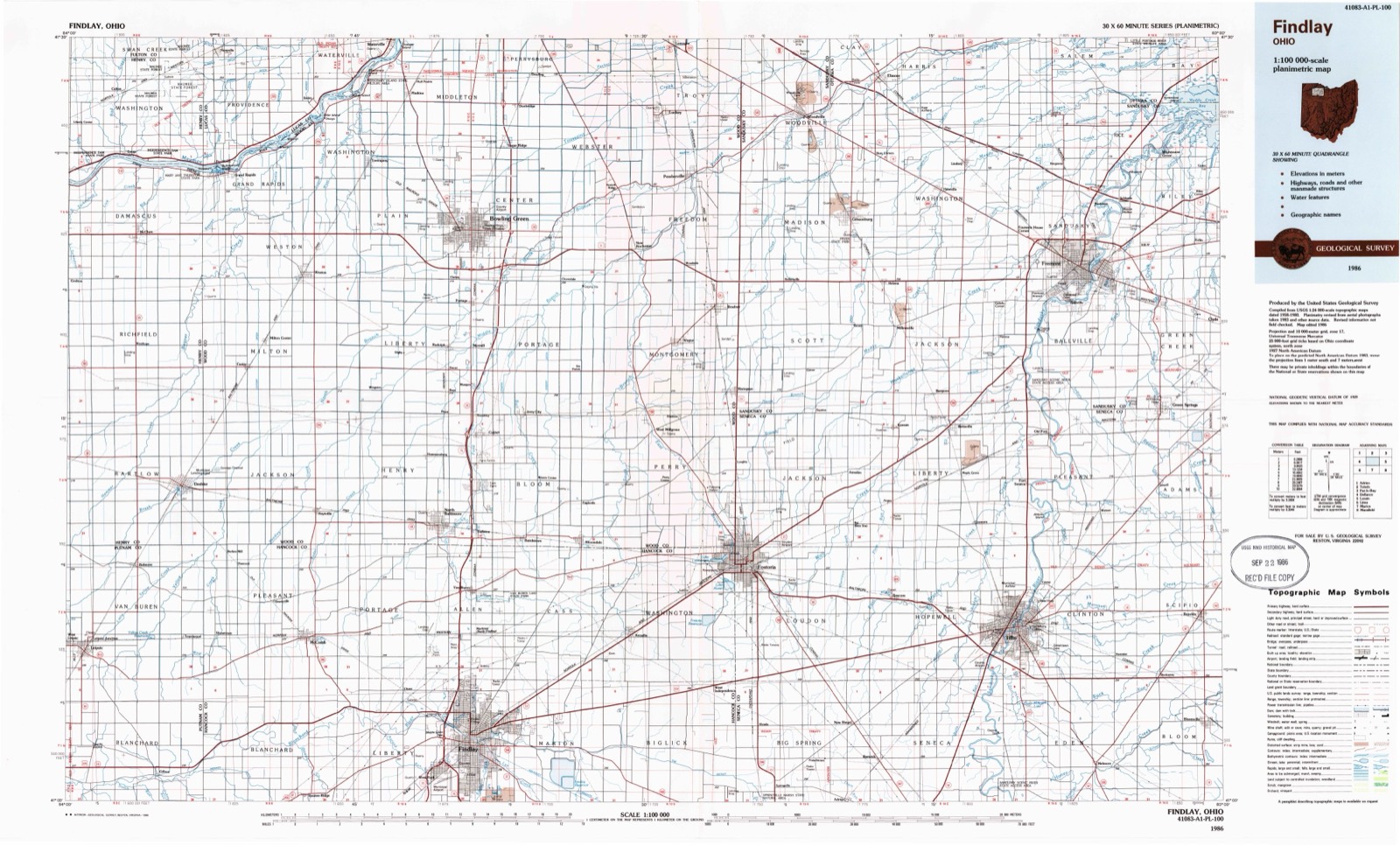
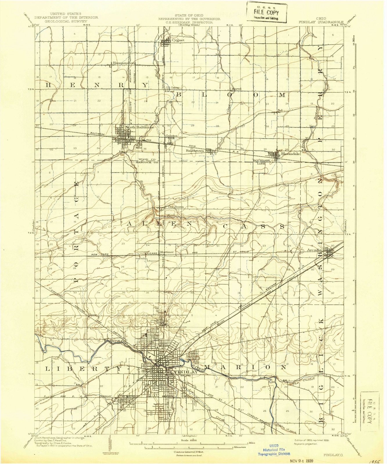
1903 to 1986The same ground, surveyed 83 years apart. Drag the handle to wipe between them. Both sheets are United States Geological Survey originals; neither has been altered.
Compare 1903 against another survey:
Topographic sheets covering this place
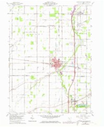
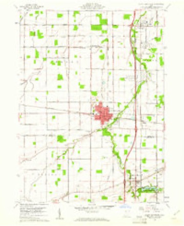
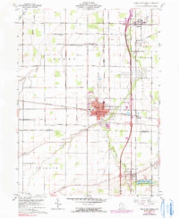
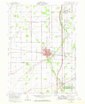
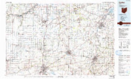
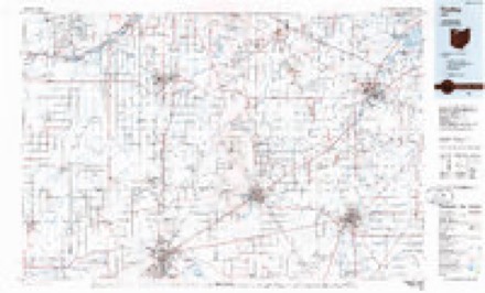
13 sheetsMatched by testing this settlement's coordinate against the published boundary of every sheet in the United States Geological Survey's historical collection. Each opens the scanned sheet at the Survey.
- 1903 USGS Findlay quadrangle1:62500
- 1903 USGS Findlay quadrangle1:62500
- 1956 USGS Toledo quadrangle1:250000
- 1956 USGS Toledo quadrangle1:250000
- 1956 USGS Toledo quadrangle1:250000
- 1956 USGS Toledo quadrangle1:250000
- 1960 USGS North Baltimore quadrangle1:24000
- 1960 USGS North Baltimore quadrangle1:24000
- 1960 USGS North Baltimore quadrangle1:24000
- 1960 USGS North Baltimore quadrangle1:24000
- 1961 USGS Toledo quadrangle1:250000
- 1986 USGS Findlay quadrangle1:100000
- 1986 USGS Findlay quadrangle1:100000





In the county-history sources
10,994 words on this townshipHistory of Hancock County [Ohio] from Its Earliest Settlement to the Present Time, Together with Remeiniscenses of Pioneer Life, Incidents, Statistical Tables, and Biographical Sketches, published 1881 names this settlement in its chapter on Allen Township. These are the passages that mention it, exactly as the scans read.
The first settlement was made in 1826 or 1827 by Nathan Frakes and one JNIiller, west of Van Buren, on the farm now owned by S. Spitler, and by Miller on the farm now owned by J. Kempher. In 1827, John Trout, Elias S. Bryan and John Burman came, and they were followed by Christian Barnel, (father of John, Adna, G. C. and Elijah,) who came from Perry County, and located on the Spitler farm, Frakes having purchased and removed to what is now the Infirmary Farm. John Barnel, son of Christian, came in the following year, and is still a resident of the township. He too, moved to the Spitler farm, and his father, with his family, moved to Findley. Then came Charles Baker, of Fairfield, the Ensminger's, of Wayne, Hugh and John Gilchrist, Jos. Howard and others. All of these families settled around and near the site of the present town of Van Buren.
Passage source: History of Hancock County [Ohio] from Its Earliest Settlement to the Present Time, Together with Remeiniscenses of Pioneer Life, Incidents, Statistical Tables, and Biographical Sketches, published 1881.
The timber in this township was poplar, walnut, oak, ash, sugar, beech, hickory, &c. Poplar was very plentiful in the south part of the township, but it has nearly all disappeared, as a few years ago it was considered more valuable than any other kind of wood, and was used very largely for building purposes.
Passage source: History of Hancock County [Ohio] from Its Earliest Settlement to the Present Time, Together with Remeiniscenses of Pioneer Life, Incidents, Statistical Tables, and Biographical Sketches, published 1881.
The soil in the south part of the township is in part what might be termed a sandy clay. In parts, however, it is almost all clay, whilst elsewhere it is entirely sand. On the north side of the township, between the ridge and Wood County line, it is a black loam, mostly vegetable matter. But all parts of the township are easily tilled and very productive.
Passage source: History of Hancock County [Ohio] from Its Earliest Settlement to the Present Time, Together with Remeiniscenses of Pioneer Life, Incidents, Statistical Tables, and Biographical Sketches, published 1881.
Machine-read from a century-old scan, so expect the errors a machine makes: misspelled names, dropped words, stray characters.
Read the whole chapter on Allen Township - it names this place 13 more 13 times.
Specimens collected near this place
12 of 218 shownRegional context, not property-specific evidence. Museums hold 218 specimens collected within 10 miles of Van Buren between 1883 and 1975: 207 Animalia, 11 Fungi. 12 distinct Species records are shown. Collected by CL & LC Hubbs, CLARENCE CLARK, Collector(s): David E. Ferguson and others. Each is a physical object with a catalogue number, and each entry opens the museum's record. This is what was collected and kept, not a survey of what lives here - nothing can be concluded from a species being absent.
| Image | Species | Year | Collected by | Where, as recorded |
|---|---|---|---|---|
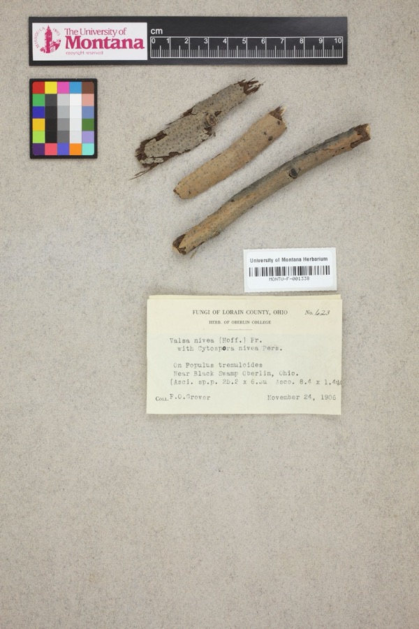 | Valsa nivea (Hoffm.) Fr. | 1906 | F. O. Grover | Near Black Swamp, Oberlin. |
 | Notropis boops Gilbert, 1884 | 1883 | Kirsch, P. H | Blanchard River, Findlay |
 | Esox americanus vermiculatus Lesueur, 1846 | 1893 | P. Kirsch | Blanchard River, Findlay, Ohio |
 | Micropterus dolomieu Lacepède, 1802 | 1893 | P. Kirsch | Blanchard River, Findley, Ohio |
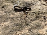 | Regina septemvittata (Say, 1825) | 1893 | not recorded | Findlay, Blanchard River |
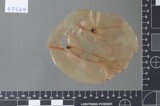 | Fusarium culmorum (Wm.G.Sm.) Sacc. | 1919 | Lewis H. L. | Findlay |
| Helminthosporium gramineum Rabenh. ex Schltdl. | 1919 | Lewis H. L. | Findlay | |
 | Helminthosporium sorokinianum Sacc. | 1919 | Lewis H. L. | Findlay |
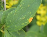 | Puccinia graminis Pers. | 1919 | Lewis H. L. | Findlay |
 | Catostomus commersonii (Lacepède, 1803) | 1925 | CL & LC Hubbs | Eagle Creek, due S of Findlay; Maumee River drainage |
 | Cyprinella spiloptera (Cope, 1867) | 1925 | CL & LC Hubbs | Eagle Creek, due S of Findlay; Maumee River drainage |
 | Etheostoma blennioides Rafinesque, 1819 | 1925 | CL & LC Hubbs | Eagle Creek, due S of Findlay; Maumee River drainage |
All 218 specimens within 10 miles, at the Global Biodiversity Information Facility.
Storms near this place
13 since 1995Regional context, not property-specific evidence. The National Weather Service names Van Buren in 13 storm reports between 1995 and 2026: 7 thunderstorm wind, 6 hail. No death or injury is recorded in these reports. Each account below is quoted exactly as the forecast office filed it, from the NOAA Storm Events Database, and each date opens the federal record of that event.
| When | Event | Place named | Harm | What the report says |
|---|---|---|---|---|
| September 1998 | Thunderstorm Wind | Van Buren | $20,000 | Large branches and at least one tree were downed. A corn field was blown down and awnings were damaged at a campground.. |
| June 2013 | Thunderstorm Wind | Van Buren | $8,000 | Thunderstorm winds toppled a power pole. |
| April 1995 | Thunderstorm Wind | Van Buren | $5,000 | A number of trees were downed. |
| July 2006 | Thunderstorm Wind | Van Buren | $2,000 | A tree and large limbs were reported down. |
| June 2004 | Thunderstorm Wind | Van Buren | $2,000 | Thunderstorm winds downed a few large tree limbs. |
| June 2010 | Thunderstorm Wind | Van Buren | $1,000 | Thunderstorm winds downed a few large tree limbs. |
| March 2026 | Hail | Van Buren | - | Hail up to golf ball-size about one-mile northwest of Van Buren. |
| May 2024 | Thunderstorm Wind | Van Buren | - | Large tree limb snapped and fell onto house in Van Buren. No structural damage noted. |
| July 2017 | Hail | Van Buren | - | Nickel sized hail was observed. |
| July 2017 | Hail | Van Buren | - | Hail as large as quarters was reported. |
| July 2012 | Hail | Van Buren | - | Quarter sized hail was observed. |
| May 2001 | Hail | Van Buren | - | Dime size hail was reported. |
| September 1998 | Hail | Van Buren | - | no account filed |
Nearest settlements
The eight closest, with where each one stands in the county. Distances are straight-line, computed from the Geographic Names Information System coordinates.
| Map | Place | Distance | Sheets |
|---|---|---|---|
| Mortimer | 2.0 miles | 13 | |
| Cedar Tree Estates | 2.3 miles | 13 | |
| Wineland (historical) | 3.6 miles | 12 | |
| Portage Center | 4.2 miles | 13 | |
| Highland Estates | 4.9 miles | 13 | |
| Chase | 5.5 miles | 13 | |
| Murphys | 5.6 miles | 13 | |
| Eastowne Estates | 5.8 miles | 12 |
Elsewhere
Matched on this settlement's Geographic Names Information System number rather than its name, so it cannot be a different place of the same name in another state.
| Wikipedia article on Van Buren | An encyclopaedic summary. Its text is share-alike, so it is linked here rather than copied. |
| Wikidata item Q2664618 | The structured record the population and elevation above come from. Public domain (CC0). |
Provenance
This settlement is recorded in the Geographic Names Information System as feature 1056557. The sheet list is computed by point-in-boundary test against the United States Geological Survey's historical topographic inventory. Both are works of the United States government and carry no copyright under 17 U.S.C. 105.
Specimens. Global Biodiversity Information Facility (GBIF), https://www.gbif.org/. Only records licensed CC0 or CC BY are used. Records licensed CC BY-NC are excluded because this site carries advertising. Images are checked individually and any whose licence is non-commercial, no-derivatives or unreadable is refused.
Storms. NOAA National Centers for Environmental Information, Storm Events Database https://www.ncei.noaa.gov/stormevents/ A work of the United States government, no copyright under 17 U.S.C. 105. Narratives are quoted verbatim from the National Weather Service report and are not edited or summarised.