 Block
Block
New Lexington, Ohio
14 topographic sheets cover this place, the earliest surveyed in 1911 and the latest in 2002. It stands in Pike Township. It lies in ZIP code area 43764. It stands on Oxawoosie Creek. The Survey maps it on the New Lexington quadrangle. 4,435 people lived here at the 2020 count. It stands 945 feet above sea level.
Population over time
2 figuresNew Lexington fell from 4,731 to 4,435 between 2010 and 2020. These are the recorded population figures Wikidata holds for this place, reached through the Geographic Names Information System number this page is keyed on rather than by name, so they belong to this place and not to another of the same name. Most are census counts, but not all are: an early figure may be a founding or settlement estimate. The change column is computed, and is left blank where more than 20 years separate a figure from the one before it, because a gap that long is not a change between two counts.
| Year | People | Change |
|---|---|---|
| 2010 | 4,731 | |
| 2020 | 4,435 | -296 (-6%) |
Then and now
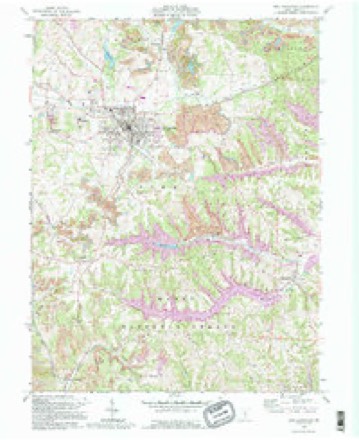
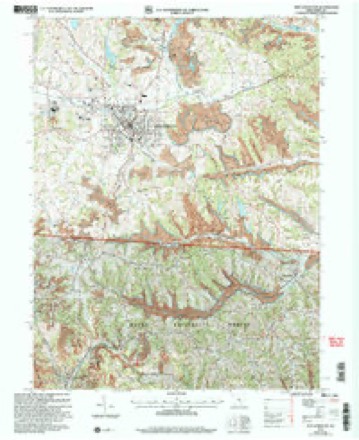
1911 to 2002The same ground, surveyed 91 years apart. Drag the handle to wipe between them. Both sheets are United States Geological Survey originals; neither has been altered.
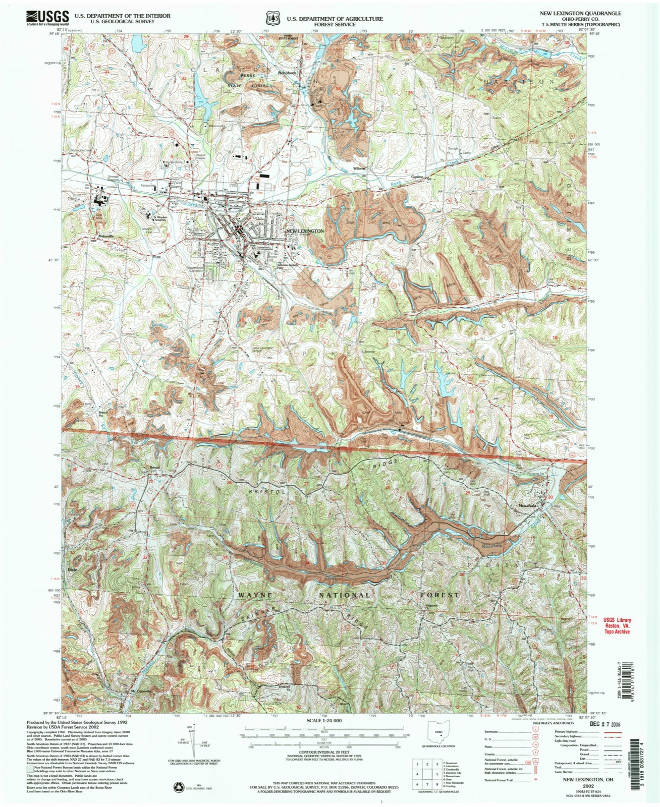
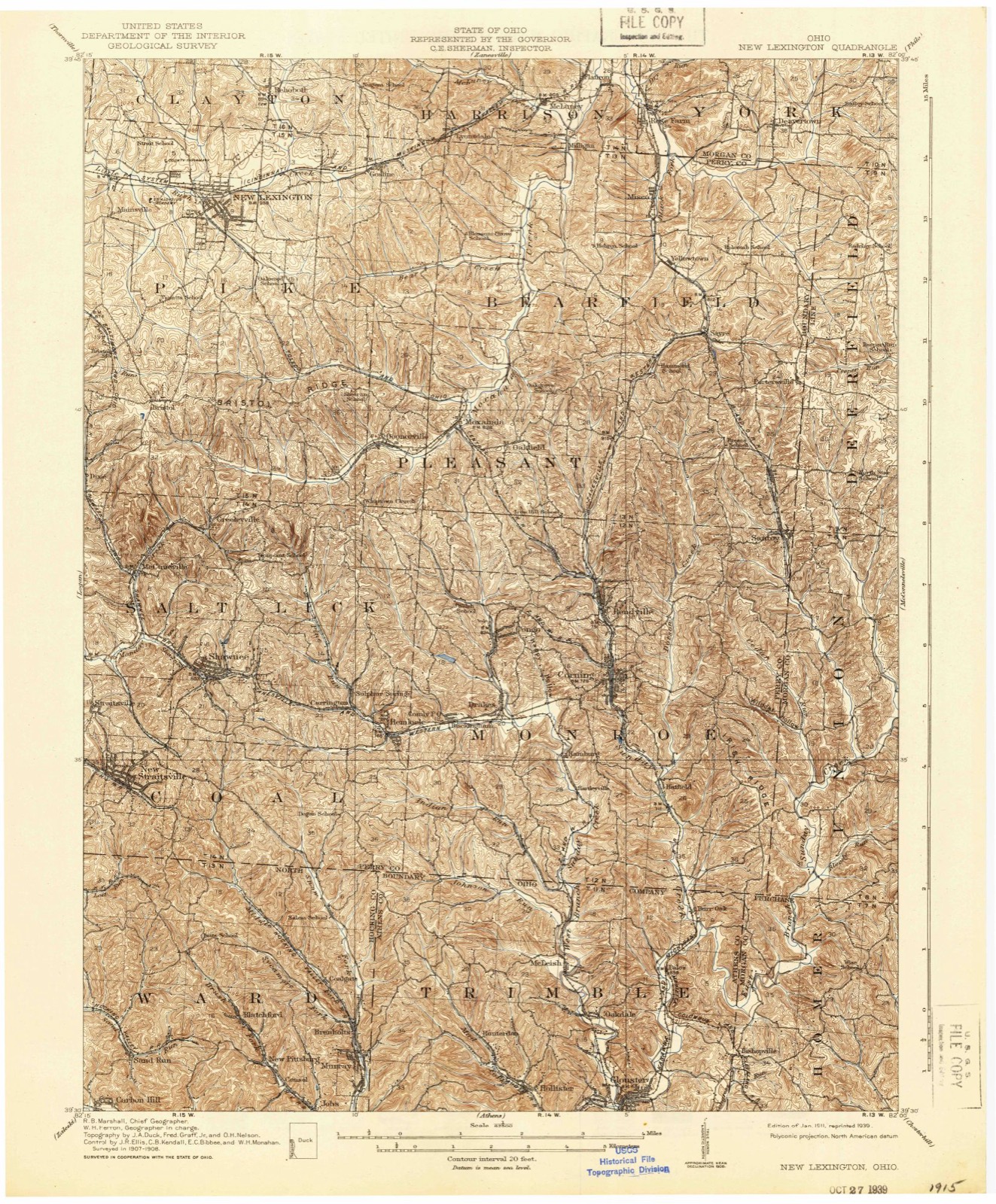
Compare 1911 against another survey:
Topographic sheets covering this place
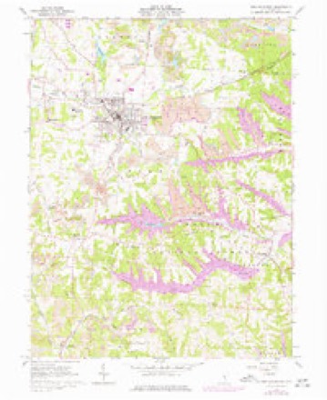
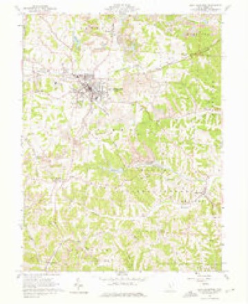
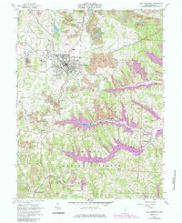
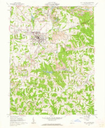
14 sheetsMatched by testing this settlement's coordinate against the published boundary of every sheet in the United States Geological Survey's historical collection. Each opens the scanned sheet at the Survey.
- 1911 USGS New Lexington quadrangle1:62500
- 1911 USGS New Lexington quadrangle1:62500
- 1947 USGS Columbus quadrangle1:250000
- 1961 USGS Columbus quadrangle1:250000
- 1961 USGS New Lexington quadrangle1:24000
- 1961 USGS New Lexington quadrangle1:24000
- 1961 USGS New Lexington quadrangle1:24000
- 1961 USGS New Lexington quadrangle1:24000
- 1962 USGS Columbus quadrangle1:250000
- 1967 USGS Columbus quadrangle1:250000
- 1967 USGS Columbus quadrangle1:250000
- 1984 USGS Lancaster quadrangle1:100000
- 1992 USGS New Lexington quadrangle1:24000
- 2002 USGS New Lexington quadrangle1:24000






In the county-history sources
16,644 words on this township1883 History Perry County, Ohio, published 1883 names this settlement in its chapter on Pike Township. These are the passages that mention it, exactly as the scans read.
ScHoois. - The first schools were very primitive, and, as a general thing, if not in all cases, held in old cabins that had been built for and used as dwellings. The first school appears to have been taught within the present limits of New Lexington, about 1815. The teacher was Jonathan Sturgeon, an Irishman. The school was taught in an old cabin that had formerly been used as a dwelling, and stood within a rod or two of the spring that is now enclosed in Andrew Stocklein's front yard, on Brown street. The floor was made of unhewn puncheons, and to make it a little even, the low places and depressions were filled up with earth. School was taught in this disagreeable place for three years. One teacher taught there, who had a wooden leg, (not Sturgeon) and
Passage source: 1883 History Perry County, Ohio, published 1883.
About 1830, the township was districted, for school purposes, very much as it is at the present time. There was the Selby district, the New Lexington district, and the Vansickle district in the northern row. Then the David Brown district,. the Clayton (Deaver) and the Skinner (Vanatta) districts. Then there was the Bristol and other districts, on the south side of the township, These have been somewhat changed. The location of the school heuses has been changed, as a general thing, while some remain where they were fifty years ago. All the old log school houses are gone, and some of the districts have built their third school house. The New Lexington district has done this, but no more than this.
Passage source: 1883 History Perry County, Ohio, published 1883.
About 1830, the New Lexington district erected its second school house, a frame,on the same lot where its predecessor stood, on Jackson street. The Stocklein spring building is not counted, for it was never designed for a school house. The frame structure of which mention is made, was a very creditable house, for the times, was well furnished, and occasionally accomodated seventy-five or eighty pupils. It was used over twenty years for school purposes, and then abandoned, and finally sold. From 1850 to 1858, after the.abandonment of the old frame, schools were taught in the old Presbyterian, Second Baptist, First Baptist churches, and elsewhere about town, as rooms could be procured, until 1858, when the new brick Union School building being completed, the schools were graded and transferred to it. A considerable addition was made to this edifice in 1876; and now the question of yet more additions or an entire new house is pressing upon the people for solution.
Passage source: 1883 History Perry County, Ohio, published 1883.
Machine-read from a century-old scan, so expect the errors a machine makes: misspelled names, dropped words, stray characters.
Read the whole chapter on Pike Township - it names this place 39 more 39 times.
Photographs
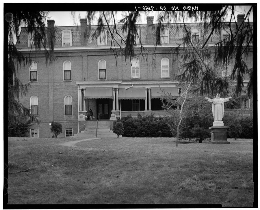
1 photograph,Taken for the Office of War Information and the Farm Security Administration, who photographed the country between 1935 and 1944. Works of United States government photographers, with no known restriction on use. Each opens its catalogue record.
Unattributed, . Library of Congress
Fires near this place
25 since 2013Regional context, not property-specific evidence. The federal wildfire occurrence database lists 25 fires within 5 miles of New Lexington between 2013 and 2020, burning about 62 acres in total. None started naturally. 2 were recorded as arson. Distance is straight-line from the map coordinates, so a fire counted here may appear on a neighbouring settlement's page as well.
| Reported cause | Fires |
|---|---|
| Debris and open burning | 17 |
| Missing data/not specified/undetermined | 4 |
| Arson/incendiarism | 2 |
| Equipment and vehicle use | 1 |
| Smoking | 1 |
The most recent of them, most recent first, with the day each was reported and the service that recorded it.
| Date | Cause | Size | Reported by | Name on the report |
|---|---|---|---|---|
| 8 May 2015 | Arson/incendiarism | 8.0 acres | Ohio Department of Natural Resources | 1346 |
| 3 April 2020 | Debris and open burning | 5.0 acres | Ohio Department of Natural Resources | 15590 |
| 22 April 2018 | Missing data/not specified/undetermined | under an acre | Ohio Department of Natural Resources | 10625 |
| 21 April 2016 | Debris and open burning | under an acre | Ohio Department of Natural Resources | 4566 |
| 21 April 2015 | Debris and open burning | under an acre | Ohio Department of Natural Resources | 1021 |
| 15 April 2016 | Debris and open burning | under an acre | Ohio Department of Natural Resources | 4366 |
| 12 April 2018 | Arson/incendiarism | 11 acres | Ohio Department of Natural Resources | 11230 |
| 12 April 2015 | Debris and open burning | 2.0 acres | Ohio Department of Natural Resources | 808 |
Settlements close enough to share some of these fires:
Specimens collected near this place
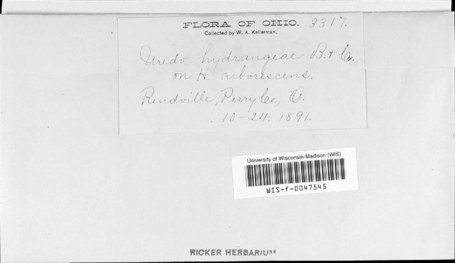
12 of 205 shownRegional context, not property-specific evidence. Museums hold 205 specimens collected within 10 miles of New Lexington between 1890 and 1975: 157 Animalia, 23 Fungi, 18 Plantae, 5 Protozoa, 2 Unrecorded. 12 distinct Species records are shown. Collected by Bergstrom, J., Buchanan, J., Buker, W.E. and others. Each is a physical object with a catalogue number, and each entry opens the museum's record. This is what was collected and kept, not a survey of what lives here - nothing can be concluded from a species being absent.
| Image | Species | Year | Collected by | Where, as recorded |
|---|---|---|---|---|
 | Pucciniastrum hydrangeae (Magnus) Arthur | 1891 | W. A. Kellerman | |
 | Uromyces junci-effusi P.Syd. & Syd. | 1910 | W. A. Kellerman | |
 | Phaeoceros carolinianus (Michx.) Prosk. | 1890 | W. C. Werner | Rendville. |
 | Anomodon attenuatus (Hedw.) Huebener | 1891 | W. C. Werner | Rendville |
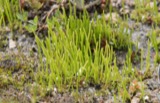 | Anthoceros punctatus L. | 1891 | not recorded | Rendville |
 | Ascocoryne cylichnium (Tul.) Korf | 1891 | W. A. Kellerman | |
| Brachythecium acuminatum (Hedw.) Austin | 1891 | W. C. Werner | ||
 | Callicladium haldanianum (Grev.) H.A.Crum | 1891 | W. C. Werner | Rendville |
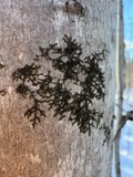 | Frullania eboracensis Gottsche | 1891 | W. C. Werner | Rendville |
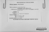 | Holwaya gigantea (Peck) E.J.Durand | 1891 | W. A. Kellerman | [Specific locality illegible.] |
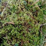 | Hypnum jutlandicum Holmen & E.Warncke | 1891 | W. C. Werner | Rendville |
| Panellus stipticus (Bull.) P.Karst. | 1891 | W. A. Kellerman | Rendville |
All 205 specimens within 10 miles, at the Global Biodiversity Information Facility.
Mines and quarries near this place
4 within 5 milesRegional context, not property-specific evidence. The federal mineral resources record lists 4 workings within 5 miles of New Lexington: 3 past producers, 1 producer. 1 still produces. What was taken out: Clay, Clay, Coal. Distance is straight-line from the map coordinates, so a quarry counted here may appear on a neighbouring settlement's page as well.
| Where | Site | Commodity | Status | Recorded |
|---|---|---|---|---|
| Donnelly Pit | Clay, Coal | Past Producer | ||
| Junction City Clay Pit | Clay | Past Producer | Sedimentary | |
| Ludowici-Celadon Donnelly Pit | Clay | Past Producer | Sedimentary | |
| Turkey Run Mine Johnson City Clay | Clay | Producer |
Storms near this place
37 since 1995Regional context, not property-specific evidence. The National Weather Service names New Lexington in 37 storm reports between 1995 and 2025: 31 thunderstorm wind, 5 hail, 1 flash flood. No death or injury is recorded in these reports. Each account below is quoted exactly as the forecast office filed it, from the NOAA Storm Events Database, and each date opens the federal record of that event.
| When | Event | Place named | Harm | What the report says |
|---|---|---|---|---|
| July 2008 | Thunderstorm Wind | New Lexington | $200,000 | Several large trees fell about town. A roof to a funeral home was also blown off. |
| June 2012 | Thunderstorm Wind | New Lexington | $75,000 | Numerous trees and large branches were blown down. |
| April 2011 | Thunderstorm Wind | New Lexington | $75,000 | A 10 foot section of roof was blown off a nursing home. Some shingles were damaged on nearby homes. A few trees were also uprooted. A garage door was buckled in by the wind. |
| November 2013 | Thunderstorm Wind | New Lexington | $20,000 | Trees were blown down. A gust to 65 mph was measured at a school. |
| November 2020 | Thunderstorm Wind | New Lexington | $10,000 | Thirty-five trees were downed across the New Lexington township. Several power poles and lines were also knocked down. |
| July 2012 | Thunderstorm Wind | New Lexington | $10,000 | Trees were blown down onto power lines. |
| July 1995 | Thunderstorm Wind | New Lexington | $10,000 | no account filed |
| October 2010 | Thunderstorm Wind | New Lexington | $8,000 | Trees fell onto power lines causing electrical outages. |
| April 2025 | Thunderstorm Wind | New Lexington | $6,000 | A few downed trees in the New Lexington area fell onto local homes. Substantial power outages were observed in the county as a result of downed trees and power lines. |
| August 2021 | Thunderstorm Wind | New Lexington | $5,000 | Multiple trees were blown down across Perry County including in the communities of New Lexington, Crooksville, Shawnee, and Monday Creek. |
| May 2018 | Thunderstorm Wind | New Lexington | $5,000 | Trees and power lines were blown down by thunderstorm winds. |
| February 2011 | Thunderstorm Wind | New Lexington | $5,000 | Trees were blown down. A vehicle hit a fallen tree and damaged its windshield. |
| August 2000 | Thunderstorm Wind | New Lexington | $5,000 | Fallen trees and power lines blocked roads. |
| July 2005 | Thunderstorm Wind | New Lexington | $5,000 | no account filed |
| May 1998 | Thunderstorm Wind | New Lexington | $5,000 | no account filed |
| June 1998 | Thunderstorm Wind | New Lexington | $5,000 | no account filed |
| August 1998 | Thunderstorm Wind | New Lexington | $5,000 | no account filed |
| August 2020 | Thunderstorm Wind | New Lexington | $2,000 | Numerous trees were blown down near New Lexington. |
| August 2019 | Thunderstorm Wind | New Lexington | $2,000 | Trees and a power line were downed along Old Somerset Road. |
| July 2017 | Thunderstorm Wind | New Lexington | $2,000 | Multiple trees were downed in New Lexington. |
| August 2010 | Thunderstorm Wind | New Lexington | $2,000 | A tree and other large branches fell across Tunnel Hill Road. |
| March 2019 | Thunderstorm Wind | New Lexington | $1,000 | Several trees were downed on Park Avenue. |
| July 2011 | Thunderstorm Wind | New Lexington | $1,000 | Large branches were blown down. |
| June 2002 | Thunderstorm Wind | New Lexington | $1,000 | Large tree branches were blown down. |
| July 2022 | Thunderstorm Wind | New Lexington | $750 | Large tree limbs were blown down in and around New Lexington. |
| July 2024 | Thunderstorm Wind | New Lexington | $500 | A few trees were blown down in New Lexington. |
| June 2024 | Thunderstorm Wind | New Lexington | $500 | In downtown New Lexington, trees were blown down along West Broadway Street. |
| June 2022 | Thunderstorm Wind | New Lexington | $500 | A power pole was damaged near the village of New Lexington. |
| July 2023 | Thunderstorm Wind | New Lexington | $200 | A tree was blown down onto State Route 93 south of New Lexington. |
| July 2013 | Flash Flood | New Lexington | - | The second round of convection brought some additional flooding. Some evacuations were being attempted along the headwaters of Moxhhala Creek along Biddison Road. |
| May 2004 | Thunderstorm Wind | New Lexington | - | Trees fell across roads. |
| May 2014 | Hail | New Lexington | - | no account filed |
| April 2011 | Hail | New Lexington | - | no account filed |
| June 2009 | Hail | New Lexington | - | no account filed |
| May 2005 | Hail | New Lexington | - | no account filed |
| June 2004 | Thunderstorm Wind | New Lexington | - | no account filed |
| September 2000 | Hail | New Lexington | - | no account filed |
Nearest settlements
The eight closest, with where each one stands in the county. Distances are straight-line, computed from the Geographic Names Information System coordinates.
| Map | Place | Distance | Sheets |
|---|---|---|---|
| Mainsville | 1.8 miles | 14 | |
| Wilbren | 1.8 miles | 14 | |
| Rehoboth | 2.2 miles | 14 | |
| Claybank (historical) | 2.9 miles | 14 | |
| Bristol | 3.3 miles | 14 | |
| Lyonsdale (historical) | 4.0 miles | 14 | |
| Clarksville | 4.4 miles | 13 | |
| Oconorville (historical) | 4.6 miles | 14 |
Elsewhere
Matched on this settlement's Geographic Names Information System number rather than its name, so it cannot be a different place of the same name in another state.
| Wikipedia article on New Lexington | An encyclopaedic summary. Its text is share-alike, so it is linked here rather than copied. |
| Wikidata item Q1927275 | The structured record the population and elevation above come from. Public domain (CC0). |
Provenance
This settlement is recorded in the Geographic Names Information System as feature 1076507. The sheet list is computed by point-in-boundary test against the United States Geological Survey's historical topographic inventory. Both are works of the United States government and carry no copyright under 17 U.S.C. 105.
Wildfire. Short, Karen C. 2022. Spatial wildfire occurrence data for the United States, 1992-2020 [FPA_FOD_20221014]. 6th Edition. Fort Collins, CO: Forest Service Research Data Archive. https://doi.org/10.2737/RDS-2013-0009.6 Collected with United States Government funding and usable without additional permissions or fees.
Specimens. Global Biodiversity Information Facility (GBIF), https://www.gbif.org/. Only records licensed CC0 or CC BY are used. Records licensed CC BY-NC are excluded because this site carries advertising. Images are checked individually and any whose licence is non-commercial, no-derivatives or unreadable is refused.
Mines and quarries. USGS Mineral Resources Data System (MRDS) https://mrdata.usgs.gov/mrds/ A work of the United States government, no copyright under 17 U.S.C. 105.
Storms. NOAA National Centers for Environmental Information, Storm Events Database https://www.ncei.noaa.gov/stormevents/ A work of the United States government, no copyright under 17 U.S.C. 105. Narratives are quoted verbatim from the National Weather Service report and are not edited or summarised.