 Block
Block
New Reading, Ohio
11 topographic sheets cover this place, the earliest surveyed in 1909 and the latest in 1984. It stands in Reading Township. It lies in ZIP code area 43783. It stands on Muddy Run. The Survey maps it on the Somerset quadrangle. It stands 3,520 feet above sea level.
Then and now
1909 to 1984The same ground, surveyed 75 years apart. Drag the handle to wipe between them. Both sheets are United States Geological Survey originals; neither has been altered.
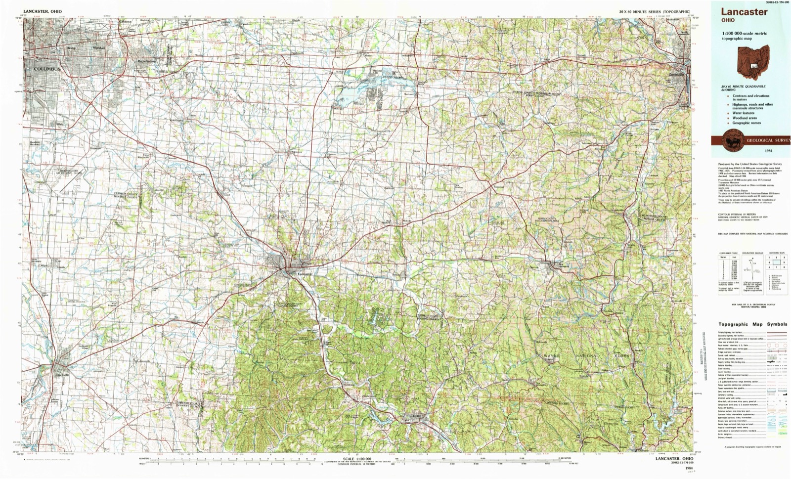
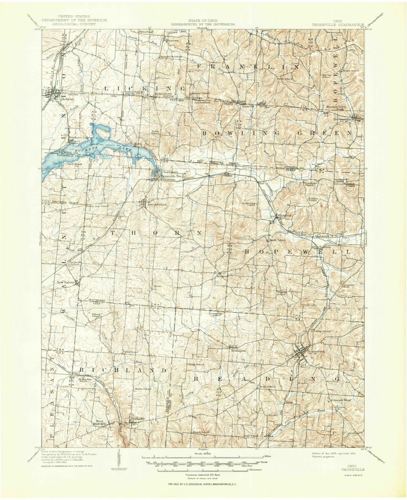
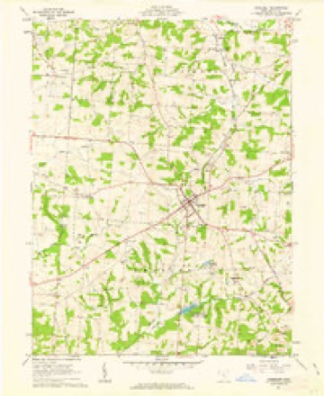
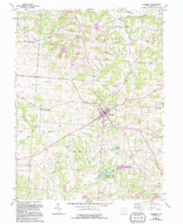
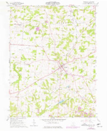
Topographic sheets covering this place
11 sheetsMatched by testing this settlement's coordinate against the published boundary of every sheet in the United States Geological Survey's historical collection. Each opens the scanned sheet at the Survey.
- 1909 USGS Thornville quadrangle1:62500
- 1909 USGS Thornville quadrangle1:62500
- 1947 USGS Columbus quadrangle1:250000
- 1961 USGS Columbus quadrangle1:250000
- 1961 USGS Somerset quadrangle1:24000
- 1961 USGS Somerset quadrangle1:24000
- 1961 USGS Somerset quadrangle1:24000
- 1962 USGS Columbus quadrangle1:250000
- 1967 USGS Columbus quadrangle1:250000
- 1967 USGS Columbus quadrangle1:250000
- 1984 USGS Lancaster quadrangle1:100000






In the county-history sources
20,608 words on this township1883 History Perry County, Ohio, published 1883 names this settlement in its chapter on Reading Township. These are the passages that mention it, exactly as the scans read.
It is not known to a certainty who erected the first cabin on a lot of the platted village, but it is probable that several persons built during the same season. 'The place grew slowly enough at first, for Overmyertown (now New Reading) was a rival, and an older town, and there was, at that time, nothing in the nature of the locality or surroundings, to cause villages to grow with any great rapidity. Edward Danison, now in his eighty-eigth year, a citizen of New Lexington, has a very clear remembrance of Somerset when it contained only five or six houses. Mr. Danison was a youth of seventeen or eighteen years at that time, and lived with his parents in Madison township. He says the little village of Somerset, for several years, is easily described, as it consisted of a couple of
Passage source: 1883 History Perry County, Ohio, published 1883.
New Rrapinc. - New Reading, for a long time better known as Overmyertown, situated three miles from Somerset, in the western part of Reading township. was laid out in 1805, by Peter Overmyer, father of the venerable Peter Overmyer, who now resides in the vicinity of New Reading. This village is the oldest in the county, antedating Somerset, Rehoboth, Thornville, New Lexington, and all the other villages of the county. Wheh the county of Perry was formed, New Reading was a candidate for the seat of justice, and its citizens were disappointed and displeased when they failed to secure the location. The village has just about held its own for sixty years and more. It contains two churches, a schoolhouse, store, physician, a few shops, and several neat and comfortable private residences, and had, in June, 1880, one hundred and eighteen inhabitants. "Phe town is handsomely situated, and is surrounded by a country not only ferule and healthy, but one of the loveliest to be found anywhere in the State, and capable of being made almost a second paradise.
Passage source: 1883 History Perry County, Ohio, published 1883.
Vhe Lutheran Church, of New Reading, was the first church organized in what is now Perry county, though in respect to date it only preceded Zion (Rible's), of Thorn township, a few months, both being organized in the same year, 1805. The church was ogganized under the ministry of Rey. William Foster. the venerable father of Lutheranism in Perry county, who departed this life in 1815. "There is a little uncertainty as to the date of the erection of the first edifice, but it was about 1812-13. It was a two-story log building, and was occupied a good many years. The present'edifice is a brick structure, and of more modern belongings. The Overmyers, Whitmers, Auspachs, Poormans, Shriders .and Bowmans, were among the first members. Regular preaching and Sabbath school are sustained. "The church site is a very
Passage source: 1883 History Perry County, Ohio, published 1883.
Machine-read from a century-old scan, so expect the errors a machine makes: misspelled names, dropped words, stray characters.
Read the whole chapter on Reading Township - it names this place 3 more 3 times.
Fires near this place
18 since 2007Regional context, not property-specific evidence. The federal wildfire occurrence database lists 18 fires within 5 miles of New Reading between 2007 and 2020, burning about 31 acres in total. None started naturally. None was recorded as arson. Distance is straight-line from the map coordinates, so a fire counted here may appear on a neighbouring settlement's page as well.
| Reported cause | Fires |
|---|---|
| Debris and open burning | 8 |
| Missing data/not specified/undetermined | 6 |
| Recreation and ceremony | 4 |
The most recent of them, most recent first, with the day each was reported and the service that recorded it.
| Date | Cause | Size | Reported by | Name on the report |
|---|---|---|---|---|
| 7 September 2007 | Debris and open burning | under an acre | Ohio Department of Natural Resources | not named |
| 22 September 2015 | Missing data/not specified/undetermined | 1.0 acres | Ohio Department of Natural Resources | 2223 |
| 9 July 2016 | Debris and open burning | under an acre | Ohio Department of Natural Resources | 5126 |
| 10 April 2019 | Missing data/not specified/undetermined | under an acre | Ohio Department of Natural Resources | 15132 |
| 9 March 2020 | Debris and open burning | 1.4 acres | Ohio Department of Natural Resources | 15487 |
| 8 March 2020 | Debris and open burning | 1.0 acres | Ohio Department of Natural Resources | 15486 |
| 22 March 2014 | Missing data/not specified/undetermined | 8.0 acres | Ohio Department of Natural Resources | not named |
| 18 March 2018 | Debris and open burning | under an acre | Ohio Department of Natural Resources | 13785 |
Settlements close enough to share some of these fires:
Specimens collected near this place
12 of 255 shownRegional context, not property-specific evidence. Museums hold 255 specimens collected within 10 miles of New Reading between 1891 and 1975: 224 Animalia, 20 Fungi, 8 Plantae, 2 Unrecorded, 1 Protozoa. 12 distinct Species records are shown. Collected by Bergstrom, J., Black R. J., Buchanan, J. and others. Each is a physical object with a catalogue number, and each entry opens the museum's record. This is what was collected and kept, not a survey of what lives here - nothing can be concluded from a species being absent.
| Image | Species | Year | Collected by | Where, as recorded |
|---|---|---|---|---|
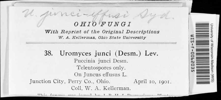 | Uromyces junci-effusi P.Syd. & Syd. | 1910 | W. A. Kellerman | |
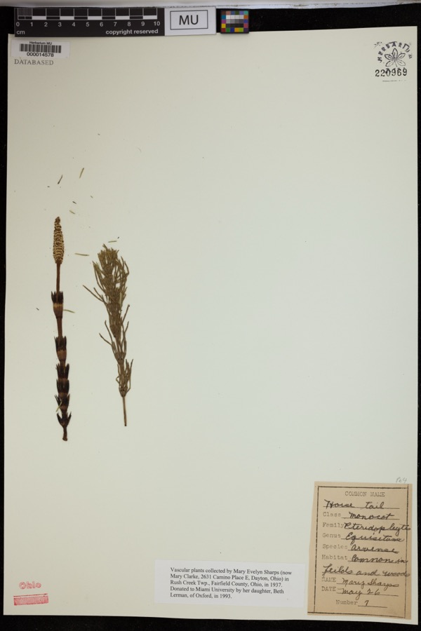 | Equisetum arvense L. | 1937 | Sharps, M.E. | Rush Creek Twp. |
 | Holwaya gigantea (Peck) E.J.Durand | 1891 | W. A. Kellerman | [Specific locality illegible.] |
 | Porella platyphylla (L.) Pfeiff. | 1891 | W. C. Werner | |
 | Puccinia schedonnardi Kellerm. & Swingle | 1895 | W. A. Kellerman | |
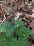 | Dicentra cucullaria (L.) Bernh. | 1900 | Williamson, E.B. | New Salem |
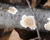 | Uromyces junci Tul. | 1901 | W. A. Kellerman | Junction City |
 | Natrix kirtlandii (Kennicott, 1856) | 1902 | Dilto, C. R. | Perry Co., Ohio |
 | Puccinia muhlenbergiae Arthur & Holw. | 1902 | W. A. Kellerman & J. McOwen Jr. | |
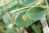 | Uromyces (Link) Unger, 1833 | 1902 | W. A. Kellerman | Buckeye Lake |
| Podosphaera oxyacanthae (DC.) de Bary | 1903 | Black R. J. | Bremen | |
 | Endothia fluens (Sowerby) Shear & N.E.Stevens | 1912 | Nixon E. L. | Perry Co. |
All 255 specimens within 10 miles, at the Global Biodiversity Information Facility.
Mines and quarries near this place
3 within 5 milesRegional context, not property-specific evidence. The federal mineral resources record lists 3 workings within 5 miles of New Reading: 1 producer, 1 plant, 1 past producer. 2 still produce. What was taken out: Stone, Crushed/Broken, Limestone, General. Distance is straight-line from the map coordinates, so a quarry counted here may appear on a neighbouring settlement's page as well.
| Where | Site | Commodity | Status | Recorded |
|---|---|---|---|---|
| Busse Quarry | Limestone, General | Past Producer | Sedimentary | |
| Busse Quarry & Mill | Stone, Crushed/Broken | Plant | ||
| Glass Rock Quarry | Stone, Crushed/Broken | Producer |
Nearest settlements
The eight closest, with where each one stands in the county. Distances are straight-line, computed from the Geographic Names Information System coordinates.
| Map | Place | Distance | Sheets |
|---|---|---|---|
| Somerset | 2.8 miles | 11 | |
| Wellan (historical) | 3.0 miles | 11 | |
| Ziontown | 3.1 miles | 11 | |
| Carthon | 4.3 miles | 13 | |
| Bruno | 4.3 miles | 12 | |
| Avlon | 4.9 miles | 13 | |
| Chalfants | 5.4 miles | 11 | |
| Glass Rock | 5.7 miles | 12 |
Elsewhere
Matched on this settlement's Geographic Names Information System number rather than its name, so it cannot be a different place of the same name in another state.
| Wikipedia article on New Reading | An encyclopaedic summary. Its text is share-alike, so it is linked here rather than copied. |
| Wikidata item Q14716751 | The structured record the population and elevation above come from. Public domain (CC0). |
Provenance
This settlement is recorded in the Geographic Names Information System as feature 1065133. The sheet list is computed by point-in-boundary test against the United States Geological Survey's historical topographic inventory. Both are works of the United States government and carry no copyright under 17 U.S.C. 105.
Wildfire. Short, Karen C. 2022. Spatial wildfire occurrence data for the United States, 1992-2020 [FPA_FOD_20221014]. 6th Edition. Fort Collins, CO: Forest Service Research Data Archive. https://doi.org/10.2737/RDS-2013-0009.6 Collected with United States Government funding and usable without additional permissions or fees.
Specimens. Global Biodiversity Information Facility (GBIF), https://www.gbif.org/. Only records licensed CC0 or CC BY are used. Records licensed CC BY-NC are excluded because this site carries advertising. Images are checked individually and any whose licence is non-commercial, no-derivatives or unreadable is refused.
Mines and quarries. USGS Mineral Resources Data System (MRDS) https://mrdata.usgs.gov/mrds/ A work of the United States government, no copyright under 17 U.S.C. 105.