Listed on the National Register of Historic Places in
1978. A historic map-sheet match is not published yet. The record needs a coordinate-quality review before it can be joined to a sheet boundary.
From the record
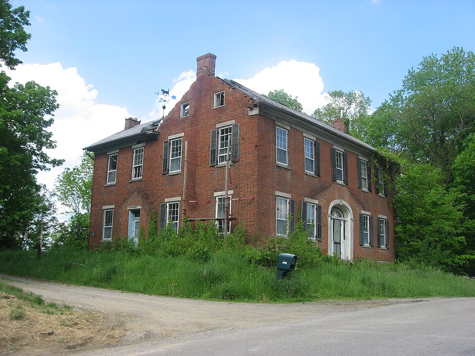
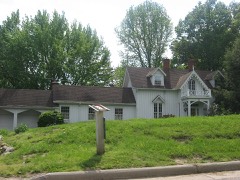
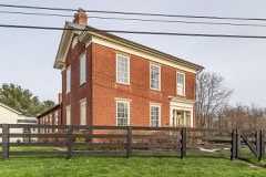
“The Randolph Mitchell House is a historic house in the small community of New Reading, Ohio, United States. One of the most prominent old buildings in the area's oldest settlement, it was once the home of a leading local resident, and it has been named a historic site because of its distinctive Neoclassical-influenced architecture.”
Wikipedia article Randolph Mitchell House, CC BY-SA 4.0.
one of 11 National Register listings in Perry County · listed in 1978 · category: Building.
National Register reference number.78002170- the number the National Park Service assigned this property when it was listed, and the key its nomination file is catalogued under at the National Archives.
The ground it stands on
20,608 words
The chapter on Reading Township in 1883 History Perry County, Ohio, published 1883 names New Reading. This is what it says, exactly as the scans read.
It is not known to a certainty who erected the first cabin on a lot of the platted village, but it is probable that several persons built during the same season. 'The place grew slowly enough at first, for Overmyertown (now New Reading) was a rival, and an older town, and there was, at that time, nothing in the nature of the locality or surroundings, to cause villages to grow with any great rapidity. Edward Danison, now in his eighty-eigth year, a citizen of New Lexington, has a very clear remembrance of Somerset when it contained only five or six houses. Mr. Danison was a youth of seventeen or eighteen years at that time, and lived with his parents in Madison township. He says the little village of Somerset, for several years, is easily described, as it consisted of a couple of
New Rrapinc. - New Reading, for a long time better known as Overmyertown, situated three miles from Somerset, in the western part of Reading township. was laid out in 1805, by Peter Overmyer, father of the venerable Peter Overmyer, who now resides in the vicinity of New Reading. This village is the oldest in the county, antedating Somerset, Rehoboth, Thornville, New Lexington, and all the other villages of the county. Wheh the county of Perry was formed, New Reading was a candidate for the seat of justice, and its citizens were disappointed and displeased when they failed to secure the location. The village has just about held its own for sixty years and more. It contains two churches, a schoolhouse, store, physician, a few shops, and several neat and comfortable private residences, and had, in June, 1880, one hundred and eighteen inhabitants. "Phe town is handsomely situated, and is surrounded by a country not only ferule and healthy, but one of the loveliest to be found anywhere in the State, and capable of being made almost a second paradise.
Regional context, not property-specific
evidence. The
federal wildfire occurrence database
lists 18 fires within 5 miles of Mitchell, Randolph, House between
2007 and 2020, burning about 80 acres in total. None started naturally. None was recorded as arson.
Distance is straight-line from the map coordinates, so a fire counted
here may appear on a neighbouring settlement's page as well.
Reported cause
Fires
Debris and open burning
8
Missing data/not specified/undetermined
6
Recreation and ceremony
4
The most recent of
them, most recent first, with the day each was reported and the service
that recorded it.
Regional context, not property-specific
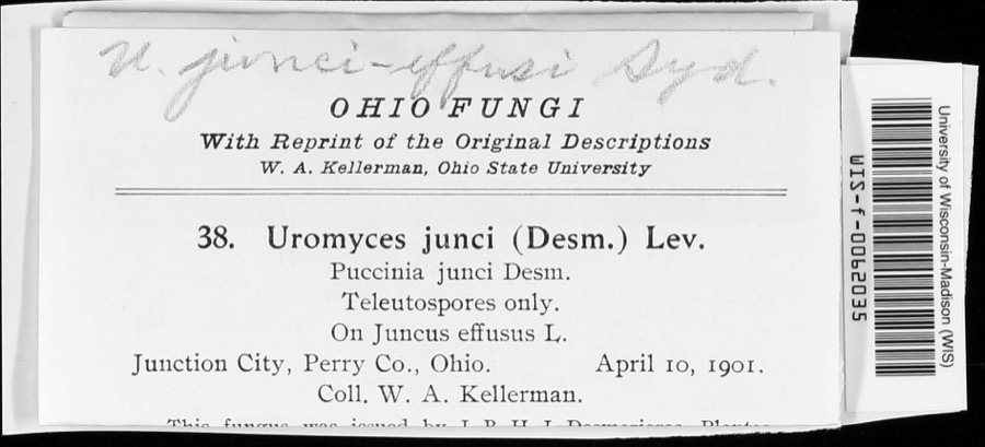
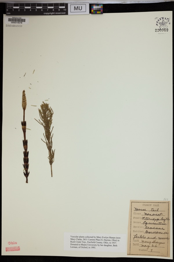
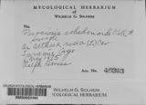
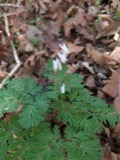
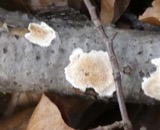
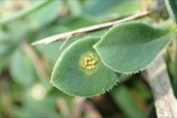
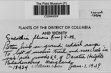
evidence. Museums hold 255 specimens
collected within 10 miles of Mitchell, Randolph, House between 1891 and
1975: 224 Animalia, 20 Fungi, 8 Plantae, 2 Unrecorded, 1 Protozoa. 12 distinct Species records are shown.
Collected by Bergstrom, J., Black R. J., Buchanan, J. and others. Each is a
physical object with a catalogue
number, and each entry opens the museum's record. This is what was
collected and kept, not a survey of what lives here - nothing can be
concluded from a species being absent.
Regional context, not property-specific
evidence. The federal mineral resources record lists
3 workings within 5 miles of Mitchell, Randolph, House: 1 producer, 1 plant, 1 past producer.
2 still produce. What was taken out: Stone, Crushed/Broken, Limestone, General. Distance is straight-line from the
map coordinates, so a quarry counted here may appear on a neighbouring
settlement's page as well.
No historic map-sheet match is published
for this property yet. That does not mean no map exists. This record needs
a coordinate-quality review before it can be joined to a sheet boundary.
Browse the county's mapped places while that work is
pending.
From the nomination file
1,847 words on record
When this property was proposed for the
National Register, someone wrote the case for it: what the building is,
and why it matters. That document is a federal record in the public domain.
It is quoted below word for word, never summarised. The text was read off the scanned case file by machine, so the
occasional stray character is the recogniser's and the 1970s
typewriter's.
Description of the property
surrounding the entrance area is generally intact, although the keystone is missing, and weathering on the brick, coupled with some holes in the masonry, indicates the similar attic windows, without any voids in the first or second floor portion of this features a slate-covered gable roof, with inset gable-end chimneys on all gable ends. Inspection of the attic of the house indicates that part of the W side of the roof may have been replaced, perhaps due to storm damage. The interior of the Randolph Mitchell House is fairly intact, and is distinguished by two rooms over two, and one over one in the ell.
The central hallway features a magnificent molded wood semi-elliptical archway inside the front door, creating a archway to directly behind it, thus destroying the overall feeling of symmetry in attic, but part of the balustrade has been removed between the second floor and inspired detail. The woodwork is painted a variety of colors, much of which appears decorative details of the interior is found in the right front room, where a fine features double glass doors, and its classical detailing matches the rest of the house.
A small room is located directly over the foyer on the second floor, and CONDITION UNEXPOSED EXCELLENT DETERIORATED through the use of double-hung sash, nine-over-six lights.The windows are set on CHECK ONE of the ell on the west side.In the angle of the ell itself is another secondary entrance to the house.A wood-frame, two-story porch was once located in this area, in the W gable end are set two single-hung, four-light windows; the east gable features The Randolph Mitchell House isa handsome midwest Federal residence,L-shaped in plan, areas and uneven weathering of the brick.
architecture in this area, and represents a significant part of the township's place in the family home where William and Caroline |Arnold lived all their married parents, lived here until his death, when the house and grounds were turned over 1828 1700-1799 1500-1599 PERIOD ARCHEOLOGY-HISTORIC 1900- LAW BUILDER/ARCHITECT EDUCATION ARCHEOLOGY-PREHISTORIC TRANSPORTATION THEATER SCIENCE MILITARY INDUSTRY SIGNIFICANCE XEXPLORATION/SETTLEMENT SCULPTURE AGRICULTURE POLITICS/GOVERNMENT LITERATURE this area.
_COMMUNICATIONS MUSIC this same county history also notes that the area's first Methodist congregation was _PHILOSOPHY lives, Arnold persuing the practice of medicine until his death.Arnold's son, _ECONOMICS historical past, and is clearly one of the finest Federal residences extant in .ENGINEERING _COMMERCE _1600-1699 _1400-1499 _CONSERVATION X1800-1899 Mr.W.W.Arnold was a graduate of Granville Denison and 42 in 1819. According to the date stone in this house, he completed construction of New Reading." He was apparently also active in church-related activities, since passed to his wife Lydia.
In 1853, Mitchell's daughter, Caroline (1825-1888), married The property remains an integral part of Perry County's architectural and INVENTION organized in Mitchell's house.After Randolph Mitchell's death in 1847,the property in 1828.An 1883 Perry County history protrays him as "a noted old-time merchant to his daughters, great-grandchildren of Randolph Mitchell, who sold the family homestead to a non-family member in 195l. William (1858-1948) acquired the property in 1891,and,1ike his parents and grand-
Quoted from the National Register nomination
for reference 78002170, 12 pages, held by the National Archives in Record
Group 79. See the
catalogue record.
Listed places nearby
6 within 8 miles
Other National Register properties close
enough to walk or drive between, ordered by distance from this one. Both
positions come from the same geocoding pass that matched these properties
to their map sheets.
Listing record. National Park Service National Register of Historic Places, listed-properties dataset, current to 2026-05-22.
Map join. Address geocoded through the United States Census geocoder, then tested against the published boundary of every sheet in the USGS Historical Topographic Map Collection.
How this page is made. Listing fields come from federal records; map-sheet coverage is a labelled coordinate-to-boundary calculation, not a source-field claim.
Wildfire. Short, Karen C. 2022. Spatial wildfire occurrence data for the United States, 1992-2020 [FPA_FOD_20221014]. 6th Edition. Fort Collins, CO: Forest Service Research Data Archive. https://doi.org/10.2737/RDS-2013-0009.6 Collected with United States Government funding and usable without additional permissions or fees.
Specimens. Global Biodiversity Information Facility (GBIF), https://www.gbif.org/. Only records licensed CC0 or CC BY are used. Records licensed CC BY-NC are excluded because this site carries advertising. Images are checked individually and any whose licence is non-commercial, no-derivatives or unreadable is refused.
Mines and quarries. USGS Mineral Resources Data System (MRDS) https://mrdata.usgs.gov/mrds/ A work of the United States government, no copyright under 17 U.S.C. 105.
 Block
Block