 Block
Block
Newton, Massachusetts
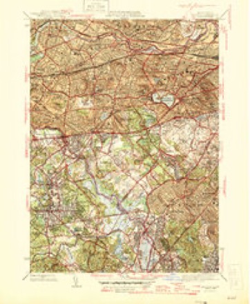
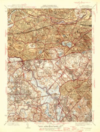
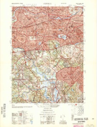
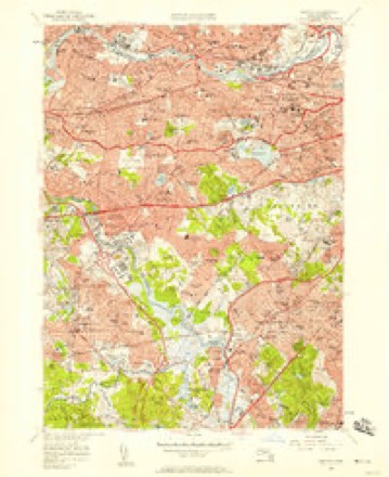
46 topographic sheets cover this place, the earliest surveyed in 1893 and the latest in 1989. It stands in Newton City. It lies in ZIP code area 02459. It stands on Coldspring Brook (historical). The Survey maps it on the Newton quadrangle. 88,923 people lived here at the 2020 count. It stands 98 feet above sea level.
Population over time
2 figuresNewton grew from 85,146 to 88,923 between 2010 and 2020. These are the recorded population figures Wikidata holds for this place, reached through the Geographic Names Information System number this page is keyed on rather than by name, so they belong to this place and not to another of the same name. Most are census counts, but not all are: an early figure may be a founding or settlement estimate. The change column is computed, and is left blank where more than 20 years separate a figure from the one before it, because a gap that long is not a change between two counts.
| Year | People | Change |
|---|---|---|
| 2010 | 85,146 | |
| 2020 | 88,923 | +3,777 (+4%) |
Then and now
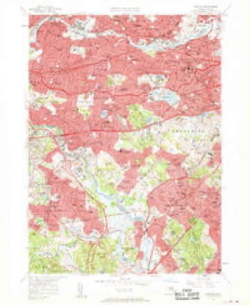
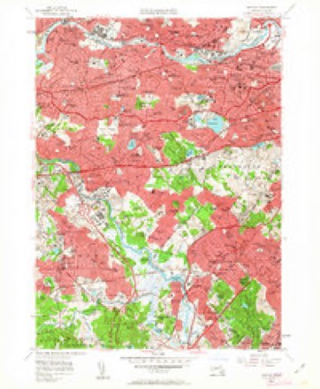
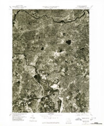
1893 to 1989The same ground, surveyed 96 years apart. Drag the handle to wipe between them. Both sheets are United States Geological Survey originals; neither has been altered.

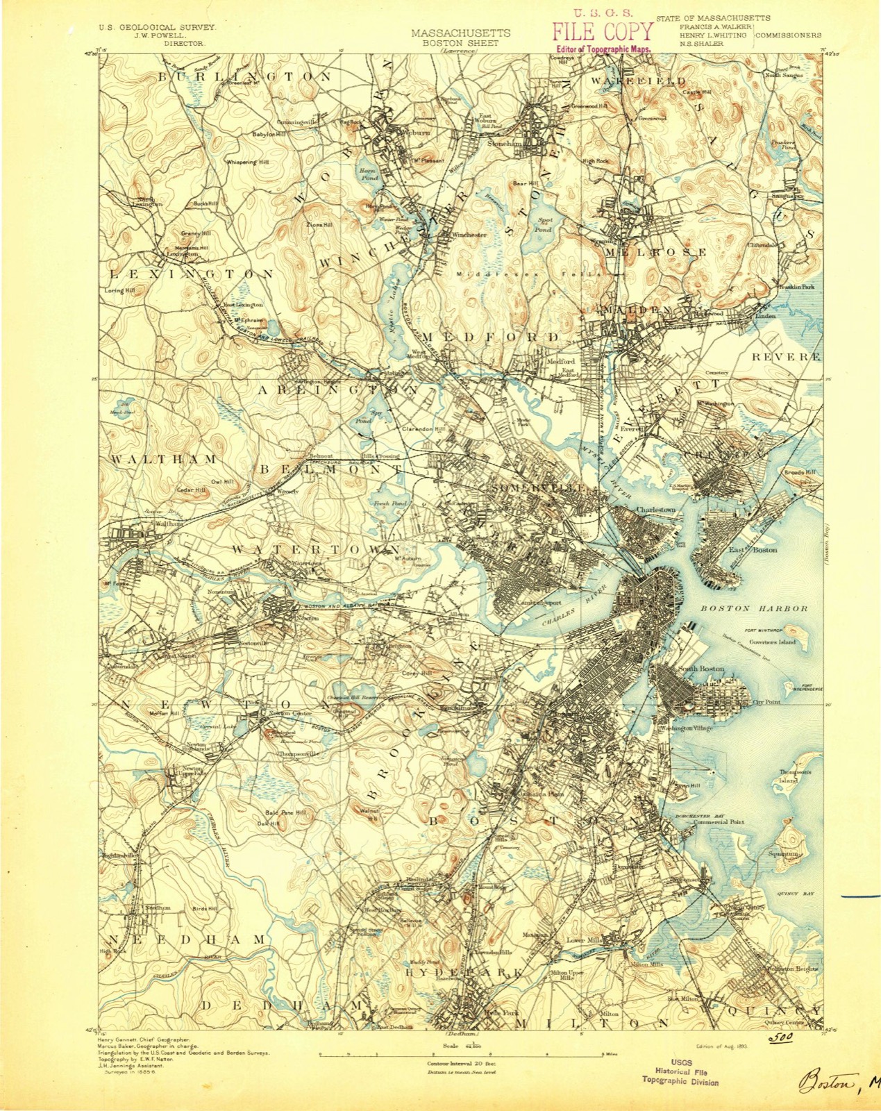
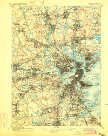
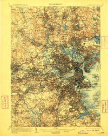
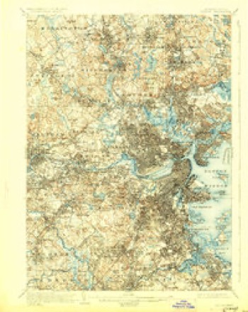
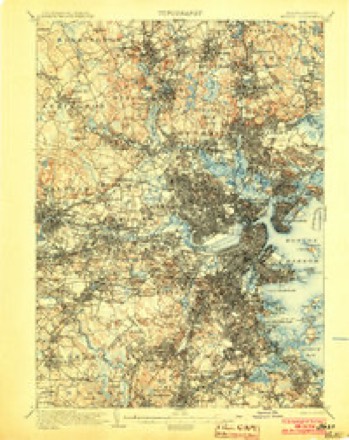
Topographic sheets covering this place
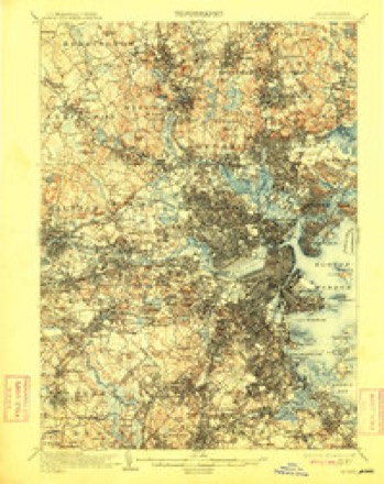
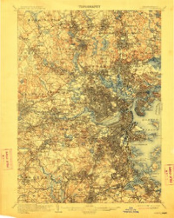
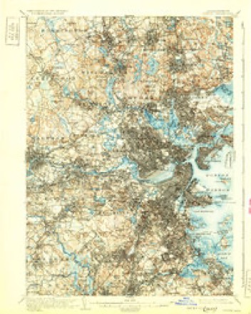
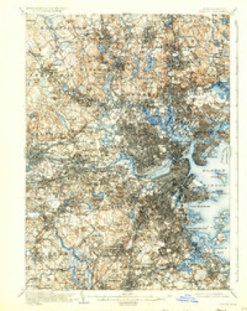
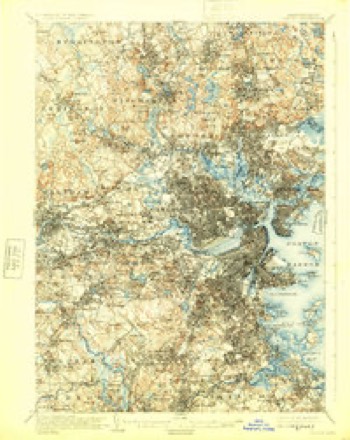
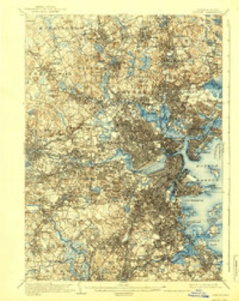
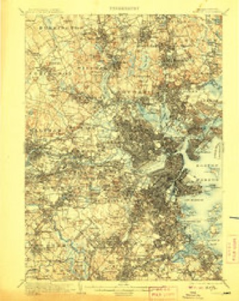
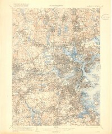
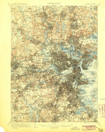
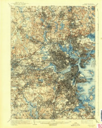
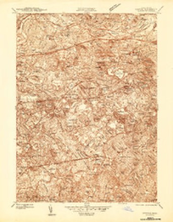
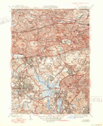
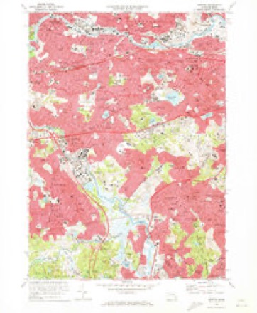
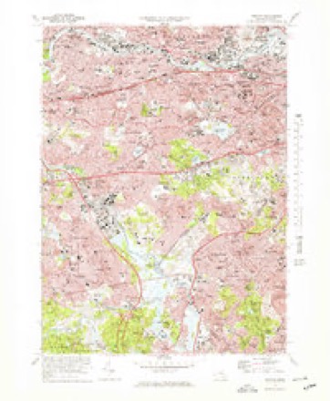
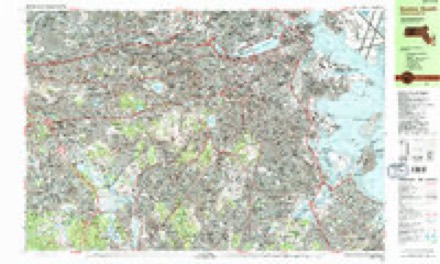
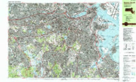
46 sheetsMatched by testing this settlement's coordinate against the published boundary of every sheet in the United States Geological Survey's historical collection. Each opens the scanned sheet at the Survey.
- 1893 USGS Boston quadrangle1:62500
- 1893 USGS Boston quadrangle1:62500
- 1893 USGS Boston quadrangle1:62500
- 1893 USGS Boston quadrangle1:62500
- 1903 USGS Boston quadrangle1:62500
- 1903 USGS Boston quadrangle1:62500
- 1903 USGS Boston quadrangle1:62500
- 1903 USGS Boston quadrangle1:62500
- 1903 USGS Boston quadrangle1:62500
- 1903 USGS Boston quadrangle1:62500
- 1903 USGS Boston quadrangle1:62500
- 1903 USGS Boston quadrangle1:62500
- 1903 USGS Boston quadrangle1:62500
- 1903 USGS Boston quadrangle1:62500
- 1903 USGS Boston quadrangle1:62500
- 1903 USGS Boston quadrangle1:62500
- 1903 USGS Boston quadrangle1:62500
- 1943 USGS Boston quadrangle1:125000
- 1944 USGS Newton quadrangle1:24000
- 1946 USGS Newton quadrangle1:31680
- 1946 USGS Newton quadrangle1:31680
- 1946 USGS Newton quadrangle1:31680
- 1948 USGS Boston quadrangle1:250000
- 1948 USGS Boston quadrangle1:250000
- 1954 USGS Newton quadrangle1:25000
- 1956 USGS Boston quadrangle1:250000
- 1956 USGS Boston quadrangle1:250000
- 1956 USGS Boston quadrangle1:250000
- 1956 USGS Boston quadrangle1:250000
- 1956 USGS Boston quadrangle1:250000
- 1956 USGS Boston quadrangle1:250000
- 1956 USGS Newton quadrangle1:24000
- 1956 USGS Newton quadrangle1:24000
- 1956 USGS Newton quadrangle1:24000
- 1958 USGS Boston quadrangle1:250000
- 1958 USGS Boston quadrangle1:250000
- 1961 USGS Boston quadrangle1:250000
- 1961 USGS Boston quadrangle1:250000
- 1970 USGS Newton quadrangle1:24000
- 1970 USGS Newton quadrangle1:25000
- 1977 USGS Newton quadrangle1:25000
- 1985 USGS Boston quadrangle1:100000
- 1987 USGS Boston South quadrangle1:25000
- 1987 USGS Boston South quadrangle1:25000
- 1989 USGS Boston quadrangle1:100000
- 1989 USGS Boston quadrangle1:100000
















What happened here
An account from the chapter on Newton city, The inset identifies its exact source book and publication year.
Newton
JbIj^ 1700, M. 63. Capt. Noab, of Newton, an Officer in the Expedition against Canada. Killed in battle with the Freoch and Indians July C, 1C90. M. 50, leaving t son Thomas. Ebeneser, oC Newton, died June 21, 1691. .fi. 45. ... . . J. B. Jepson, Newton Comer, rereals many gravestones whose inscriptions are no longer l^ble, and others, recalling the names which filled a laige place in the early history of the town, and Belonged to the founders of its institutions and the authors of its prosperity.
In the county-history sources
124,955 words on this townshipHistory of Middlesex County, Massachusetts : Containing Carefully Prepared Histories of Every City and Town in the County, published 1880 names this settlement in its chapter on Newton City. These are the passages that mention it, exactly as the scans read.
On the 10th of December five companies of infantry and Captain Prentice's troop of horse marched from Massachusetts and from Plymouth Colony to Narragansett. On the 16th Captain Prentice received information that the Indians had burned Jeremiah Ball's house, and killed eighteen men, women, and children. He marched inmiediately in pursuit, killed ten of the Indians, captured fifty-five, and burned a hundred and fifty wigwams. " This exploit," says the historian of tlie day, " was performed by Captain Prentice, of the Horse."
Passage source: History of Middlesex County, Massachusetts : Containing Carefully Prepared Histories of Every City and Town in the County, published 1880.
On the 21st of January, 1676, Captain Prentice's troops, being in advance of the infantry, met with a party of Indians, captured two, and killed nine of them. On the 18th of April ^ following, the Indians made a vigorous attack on Sudbury. Captains Wadswortli and Brockelbank fought bravely in defence, but were overpowered, and eighteen of their men took refuge in a mill. When notice of this attack reached Captain Prentice, he started immediately for Sudbury, with but few of his company, and entered that town with but six besides himself. The remnant of Captain Wadsworth's men defended the mill bravely until night, when they were relieved, and the Indians put to flight. All accounts agree that Captain Prentice rendered most invaluable service throughout the war. He was constantly an the alert, and by his bold and rapid marches he put the enemy to the sword or to flight, and made his name a terror to all the hostile Indians. After Philip was slain in July, 1676, terms of peace were offered to all Indians who would surrender. A Nipmuck sachem, called John, vAi\\ a number of his men, embraced the offer, and by order of the General Court were given in charge to Captain Prentice, who kept them at his house in Cambridge Village.
Passage source: History of Middlesex County, Massachusetts : Containing Carefully Prepared Histories of Every City and Town in the County, published 1880.
Notwithstanding the fact that the Indian converts maintained unshaken their fidelity to the English, such was the prejudice against them and fear of them, that the General Court, on the breaking out of Philip's War, ordered them to be removed to Deer Island, in Boston Harbor, and Captain Prentice, with his troopers, was charged with the execution of t!ie order. Their number, including men, women, and cliildren, was about two hundred.
Passage source: History of Middlesex County, Massachusetts : Containing Carefully Prepared Histories of Every City and Town in the County, published 1880.
Machine-read from a century-old scan, so expect the errors a machine makes: misspelled names, dropped words, stray characters.
Read the whole chapter on Newton City - it names this place 372 more 372 times.
Fires near this place
107 since 2003Regional context, not property-specific evidence. The federal wildfire occurrence database lists 107 fires within 5 miles of Newton between 2003 and 2020, burning about 384 acres in total. None started naturally. 3 were recorded as arson. Distance is straight-line from the map coordinates, so a fire counted here may appear on a neighbouring settlement's page as well.
| Reported cause | Fires |
|---|---|
| Recreation and ceremony | 55 |
| Missing data/not specified/undetermined | 32 |
| Debris and open burning | 9 |
| Smoking | 5 |
| Arson/incendiarism | 3 |
| Other causes | 1 |
| Equipment and vehicle use | 1 |
| Power generation/transmission/distribution | 1 |
The most recent of them, most recent first, with the day each was reported and the service that recorded it.
| Date | Cause | Size | Reported by | Name on the report |
|---|---|---|---|---|
| 8 September 2020 | Missing data/not specified/undetermined | under an acre | Massachusetts Bureau of Forest Fire Control | not named |
| 4 September 2018 | Missing data/not specified/undetermined | under an acre | Massachusetts Bureau of Forest Fire Control | not named |
| 4 September 2015 | Recreation and ceremony | under an acre | Massachusetts Bureau of Forest Fire Control | NEEDHAM |
| 3 September 2018 | Debris and open burning | under an acre | Massachusetts Bureau of Forest Fire Control | not named |
| 3 September 2015 | Recreation and ceremony | under an acre | Massachusetts Bureau of Forest Fire Control | NEEDHAM |
| 23 September 2020 | Missing data/not specified/undetermined | under an acre | Massachusetts Bureau of Forest Fire Control | not named |
| 23 September 2015 | Recreation and ceremony | under an acre | Massachusetts Bureau of Forest Fire Control | WELLESLEY |
| 21 September 2015 | Recreation and ceremony | under an acre | Massachusetts Bureau of Forest Fire Control | NEEDHAM |
Settlements close enough to share some of these fires:
Specimens collected near this place
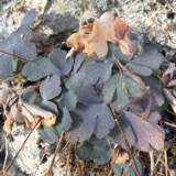
12 of 2,544 shownRegional context, not property-specific evidence. Museums hold 2,544 specimens collected within 10 miles of Newton between 1898 and 1975: 1,271 Animalia, 666 Plantae, 547 Fungi, 29 Protozoa, 14 Chromista, 13 Bacteria, 4 Unrecorded. 12 distinct Species records are shown. Collected by ?, A B Seymour, A. B. Seymour and others. Each is a physical object with a catalogue number, and each entry opens the museum's record. This is what was collected and kept, not a survey of what lives here - nothing can be concluded from a species being absent.
| Image | Species | Year | Collected by | Where, as recorded |
|---|---|---|---|---|
 | Corvus brachyrhynchos brachyrhynchos C.L.Brehm, 1822 | 1900 | not recorded | Wayland |
 | Lysimachia × producta (A.Gray) Fernald | 1900 | A. P. Chute | |
| Aglaospora profusa (Fr.) De Not. | 1898 | Collector unspecified | ||
 | Antennaria howellii subsp. canadensis (Greene) R.J.Bayer | 1898 | Williams, E.F. | |
 | Antennaria parlinii subsp. fallax (Greene) R.J.Bayer & Stebbins | 1898 | not recorded | |
 | Antennaria plantaginifolia (L.) Hook. | 1898 | not recorded | |
 | Aquilegia canadensis L. | 1898 | M. I. Gunn | Natick |
 | Acanthis flammea flammea (Linnaeus, 1758) | 1900 | ZAPPEY, W R | ROSLINDALE |
 | Acer carpinifolium Siebold & Zucc. | 1900 | A. K. Harrison | Harvard Botanic Garden, Cambridge. |
 | Acer palmatum var. dissectum (Thunb.) Miq. | 1900 | A. K. Harrison | Harvard Botanic Garden, Cambridge. |
 | Agaricus brunnescens Peck | 1900 | Morris, G. E. | Waltham |
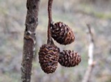 | Alnus incana subsp. rugosa (Du Roi) R.T.Clausen | 1900 | J. Murdoch, Jr. | Roxbury |
All 2,544 specimens within 10 miles, at the Global Biodiversity Information Facility.
Mines and quarries near this place
8 within 5 milesRegional context, not property-specific evidence. The federal mineral resources record lists 8 workings within 5 miles of Newton: 6 past producers, 1 producer, 1 plant. 2 still produce. What was taken out: Sand and Gravel, Construction, Stone, Crushed/Broken, Tantalum, Niobium (Columbium). Distance is straight-line from the map coordinates, so a quarry counted here may appear on a neighbouring settlement's page as well.
| Where | Site | Commodity | Status | Recorded |
|---|---|---|---|---|
| Nrc Inc--Newton, Ma. | Tantalum, Niobium (Columbium) | Plant | ||
| Massachusetts Broken Stone Co | Stone, Crushed/Broken | Past Producer | ||
| Weston Mine | Stone, Crushed/Broken | Producer | ||
| Burton Pit | Sand and Gravel, Construction | Past Producer | ||
| Greendale Pit | Sand and Gravel, Construction | Past Producer | ||
| Town of Needham | Sand and Gravel, Construction | Past Producer | Sedimentary | |
| Town of Wellesley | Sand and Gravel, Construction | Past Producer | Sedimentary | |
| Town of Wellesley | Sand and Gravel, Construction | Past Producer |
Storms near this place
17 since 1997Regional context, not property-specific evidence. The National Weather Service names Newton in 17 storm reports between 1997 and 2025: 8 thunderstorm wind, 4 hail, 3 flood, 1 flash flood. The reports record 1 injury. Each account below is quoted exactly as the forecast office filed it, from the NOAA Storm Events Database, and each date opens the federal record of that event.
| When | Event | Place named | Harm | What the report says |
|---|---|---|---|---|
| June 2020 | Lightning | West Newton | 1 hurt | A 62-year old woman was struck by lightning. She endured a side flash after lightning struck a tree near her. She was alert and breathing at the scene but was transported to a hospital for further evaluation. |
| July 2021 | Thunderstorm Wind | West Newton | $10,500 | In Newton, a tree was down on a car near 1750 Commonwealth Avenue. Also, a tree was down on a house at 111 Prospect Street. A tree was down on Park Drive. A tree was down on Adams Street at Wiltshire Road. |
| July 2020 | Thunderstorm Wind | West Newton | $8,000 | In West Newton, a tree was down on a car on Columbus Place. In the Waban section of western Newton, a tree fell onto a house on Larch Street. |
| May 2010 | Thunderstorm Wind | Newton | $7,000 | A utility pole on Wyman Street was downed by thunderstorm winds. |
| June 2020 | Flood | Newton | $5,000 | In Newton, urban flooding caused two cars to have to be removed from flood waters near 100 Walnut Street. Also, Adams Street was flooded and impassable from Watertown Street (Route 16) to Cottage Court. |
| August 2015 | Thunderstorm Wind | Newton | $5,000 | A tree was downed onto a house on Glastonbury Oval. |
| July 2012 | Flood | Newton | $5,000 | In Newton, a 20 foot stretch of Beacon Street was flooded with 1 foot of water. Also, Route 9 at the Parker Street underpass was flooded with 6 to 12 inches of water. Route 9 westbound near the Chestnut Hill Mall was flooded with 10 to 12 inches of water. In Natick, Speen Street near the Natick Mall was flooded with a foot of water. A few cars stalled out in the water. |
| August 2011 | Flood | West Newton | $5,000 | After receiving two to three inches of rain with Tropical Storm Irene, the intersection of Commonwealth Avenue and Washington Street was impassable due to flooding in Newton. A car was stuck in flood waters on Commonwealth Avenue. |
| June 2020 | Thunderstorm Wind | Newton | $1,300 | In Newton, a tree was down blocking Lewis Terrace at Washington Street. A second tree and wires were down in the same area. |
| July 2025 | Thunderstorm Wind | Newton | $800 | In Newton, a tree was down on wires on Fairway Dr. |
| June 2020 | Thunderstorm Wind | Newton | $700 | In Newton, a tree and power lines were down on Highland Avenue. |
| July 2023 | Thunderstorm Wind | West Newton | $500 | In Newton, there was a tree down on Henshaw Terrace. |
| August 2015 | Hail | Newton | - | no account filed |
| August 2015 | Hail | Newton | - | no account filed |
| July 2000 | Hail | Newton | - | no account filed |
| September 1999 | Flash Flood | Newton | - | no account filed |
| May 1997 | Hail | Newton | - | no account filed |
Nearest settlements
The eight closest, with where each one stands in the county. Distances are straight-line, computed from the Geographic Names Information System coordinates.
| Map | Place | Distance | Sheets |
|---|---|---|---|
| Newton Center | 0.7 miles | 46 | |
| Newtonville | 0.9 miles | 46 | |
| Waban | 1.1 miles | 46 | |
| Newton Highlands | 1.2 miles | 46 | |
| Eliot | 1.2 miles | 46 | |
| West Newton | 1.5 miles | 46 | |
| Newton Upper Falls | 1.7 miles | 46 | |
| Woodland | 1.7 miles | 46 |
Elsewhere
Matched on this settlement's Geographic Names Information System number rather than its name, so it cannot be a different place of the same name in another state.
| Wikipedia article on Newton | An encyclopaedic summary. Its text is share-alike, so it is linked here rather than copied. |
| Wikidata item Q49196 | The structured record the population and elevation above come from. Public domain (CC0). |
Provenance
This settlement is recorded in the Geographic Names Information System as feature 617675. The sheet list is computed by point-in-boundary test against the United States Geological Survey's historical topographic inventory. Both are works of the United States government and carry no copyright under 17 U.S.C. 105.
Wildfire. Short, Karen C. 2022. Spatial wildfire occurrence data for the United States, 1992-2020 [FPA_FOD_20221014]. 6th Edition. Fort Collins, CO: Forest Service Research Data Archive. https://doi.org/10.2737/RDS-2013-0009.6 Collected with United States Government funding and usable without additional permissions or fees.
Specimens. Global Biodiversity Information Facility (GBIF), https://www.gbif.org/. Only records licensed CC0 or CC BY are used. Records licensed CC BY-NC are excluded because this site carries advertising. Images are checked individually and any whose licence is non-commercial, no-derivatives or unreadable is refused.
Mines and quarries. USGS Mineral Resources Data System (MRDS) https://mrdata.usgs.gov/mrds/ A work of the United States government, no copyright under 17 U.S.C. 105.
Storms. NOAA National Centers for Environmental Information, Storm Events Database https://www.ncei.noaa.gov/stormevents/ A work of the United States government, no copyright under 17 U.S.C. 105. Narratives are quoted verbatim from the National Weather Service report and are not edited or summarised.